The best hikes from bus stations around Grabfeld
4.5
(4001)
14,124
hikers
49
hikes
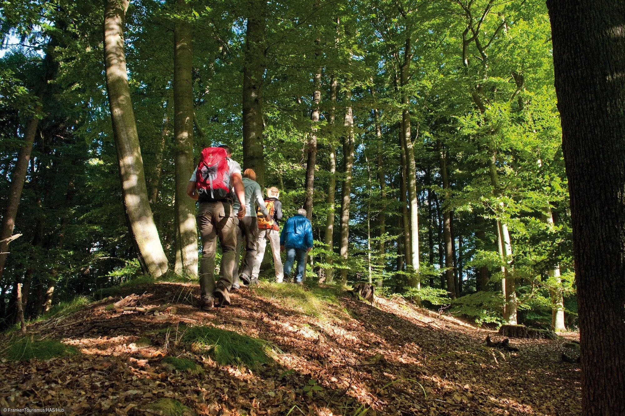
Bus station hiking trails around Grabfeld traverse a diverse landscape characterized by rolling hills, deep valleys, and extensive forests. The region is notable for the Gleichberge mountain range, which features volcanic basalt cones and impressive block fields. Rivers like the Franconian Saale and the Brend wind through the terrain, complementing areas of oak-hornbeam forests and semi-dry grasslands. This varied topography offers a range of natural features for hikers to explore.
Best bus station hiking trails around Grabfeld
- The most popular…
Last updated: August 21, 2026
5.0
(9)
27
hikers
Moderate hike. Good fitness required. Easily-accessible paths. Suitable for all skill levels.
4.9
(7)
22
hikers
Easy hike. Great for any fitness level. Easily-accessible paths. Suitable for all skill levels.

Sign up for free
4.6
(8)
33
hikers
Moderate hike. Good fitness required. Easily-accessible paths. Suitable for all skill levels.
4.1
(8)
22
hikers
Moderate hike. Good fitness required. Easily-accessible paths. Suitable for all skill levels.
4.8
(4)
14
hikers
10.6km
02:59
210m
210m
Moderate hike. Good fitness required. Easily-accessible paths. Suitable for all skill levels.
Get access to more routes and recommendations from other explorers.
Sign up for free
Already have an account?
Our route recommendations are based on thousands of hikes, rides, and runs completed by other people on komoot.
Start today with a free account
Your next adventure awaits.
Login or Signup
Popular around Grabfeld
Other adventures around Grabfeld

Tips from the Community

German History 1949-1989 A visit is only recommended in good weather or with a mountain bike.
0
0

Be sure to venture out and take the view from the other side of the spring-fed lake; a very beautiful view back towards the spring and the linden tree ♡. The tree by the shelter is something special.
0
0

A special attraction is the scenic "Widderstatt" site, located on the Jüchsen-Wachenbrunn road, one of the most important prehistoric settlements in southern Thuringia. The first evidence of the Celtic settlement "Widderstatt" was discovered in 1905 by the Jüchsen pastor F. Späth, and in 1954, Klaus Heydenblut from Themar discovered the first bronze jewelry and fragments of glass arm rings. In 1966, under the direction of Prof. Behm-Blanke (honored by a memorial stone in the Widderstatt), systematic excavations began (2 x 70-meter sections) of 1.2 hectares from the stream to the Toter Mann parcel, heading west. Source: https://www.kelten-erlebnisweg.de/sehenswuerdigkeiten/widderstatt-8829/
14
0

The former GDR border installation is definitely worth a look.
0
0


Touringen Stamp 250 - Shelter on Rankenberg. And again and again, there are idiots who destroy and vandalize. What goes through the minds of people who do things like that? Such destructiveness is not normal. 😞
1
0

Once you reach the top of the tower, you have a very beautiful all-round view.
1
0

Here you have a beautiful view of the Thuringian Forest
1
0
Frequently Asked Questions
How many bus-accessible hiking trails are there in Grabfeld?
There are over 50 bus-accessible hiking trails in Grabfeld, offering a wide range of options for exploring the region. You'll find a good mix of easy and moderate routes to choose from.
What is the best time of year for bus-accessible hikes in Grabfeld?
The best seasons for hiking in Grabfeld are generally spring and autumn. During these times, the weather is mild, and the scenery is particularly beautiful, whether it's the fresh greenery of spring or the vibrant colors of autumn.
Are there easy bus-accessible hikes suitable for beginners or families?
Yes, Grabfeld offers several easy bus-accessible hikes perfect for beginners or families. For instance, the View of the Gleichberge – Schwickershausen Reservoir loop from Schwickershausen is an easy route that provides pleasant scenery. The region's trails often lead through meadows and forests, making them enjoyable for all skill levels.
Can I find circular routes that start and end at a bus station?
Many of the bus-accessible trails in Grabfeld are designed as circular routes, allowing you to start and finish your hike at the same bus stop. An example is the View of the Thuringian Forest – Henneburg Castle Ruins loop from Schillerhaus, which offers diverse scenery and returns you to your starting point.
What historical sites can I explore on bus-accessible hikes in Grabfeld?
Grabfeld is rich in history. You can hike to significant historical sites like the Henneburg Castle Ruins, which offer breathtaking views. The Widderstatt Celtic Settlement – View of the Thuringian Forest loop from Jüchsen allows you to explore an ancient settlement. Additionally, the Wooden Bear Sculptures – German-German Border Memorial loop from Behrungen takes you past the poignant German-German Border Memorial.
Are there any natural highlights or viewpoints along bus-accessible routes?
Absolutely. The Grabfeld region, with its volcanic origins, offers unique natural features. You can find trails with expansive views of valleys and mountains. The Summit of Großer Gleichberg is a notable natural highlight, and the Sternplatz and the Adolfstein Memorial offers a great viewpoint. Many routes provide panoramic vistas of the surrounding landscape.
Can I bring my dog on these bus-accessible hikes?
Yes, many trails in Grabfeld are dog-friendly, making them suitable for hiking with your canine companion. It's always a good idea to keep your dog on a leash, especially in nature reserves or near livestock, and to check local regulations for specific routes or bus services.
What do other hikers enjoy most about the bus-accessible trails in Grabfeld?
The bus-accessible trails in Grabfeld are highly rated by the komoot community, with an average score of 4.57 stars. Reviewers often praise the diverse scenery, the well-maintained paths, and the convenience of accessing trailheads directly from bus stops. The blend of natural beauty and historical sites is frequently highlighted as a major draw.
Are there any trails that explore the unique volcanic landscape of Grabfeld?
Yes, the Grabfeld region is known for its volcanic origins, particularly the Gleichberge mountain range. While not explicitly named in the routes provided, many trails in the area will expose you to the characteristic basalt cones and block fields. Look for routes that traverse the Gleichberge for the best experience of this unique geology.
Are there any routes that pass by the Widderstatt Celtic Settlement?
Yes, you can explore the Widderstatt Celtic Settlement on a bus-accessible hike. The Widderstatt Celtic Settlement – Gasthaus Zum Lamm loop from Jüchsen is a moderate route that takes you directly through this historical site, offering insights into the region's ancient past.
Most popular routes around Grabfeld
Most popular attractions around Grabfeld

Get inspired with the komoot mobile app


Explore more
Browse the best Hikes in other regions.
