The best road cycling routes around Luckaitztal
4.8
(23)
120
riders
34
rides
Road cycling routes around Luckaitztal traverse a landscape shaped by its history as a lignite mining area, now transformed into a recreational zone in southern Brandenburg, Germany. The region features diverse terrain, including the flat, water-rich Spreewald UNESCO Biosphere Reserve and the undulating hills of Calauer Schweiz. Cyclists encounter interconnected lakes of the Lusatian Lake District, which are former mining sites, alongside serene roads within the Niederlausitzer Landrücken Nature Park. This combination offers varied road cycling experiences across reclaimed lands…
Last updated: October 17, 2026
5.0
(2)
9
riders
Moderate road ride. Good fitness required. Some segments of this route may be unpaved and difficult to ride.
10
riders
35.2km
01:25
70m
70m
Moderate road ride. Great for any fitness level. Some segments of this route may be unpaved and difficult to ride.

4.0
(1)
5
riders
Moderate road ride. Great for any fitness level. Some segments of this route may be unpaved and difficult to ride.
5
riders
72.6km
02:52
290m
290m
Moderate road ride. Good fitness required. Mostly well-paved surfaces and easy to ride.
6
riders
43.9km
01:48
150m
150m
Moderate road ride. Great for any fitness level. Some segments of this route may be unpaved and difficult to ride.
Get access to more routes and recommendations from other explorers.
Already have an account?
Our route recommendations are based on thousands of hikes, rides, and runs completed by other people on komoot.
Start today with a free account
Your next adventure awaits.
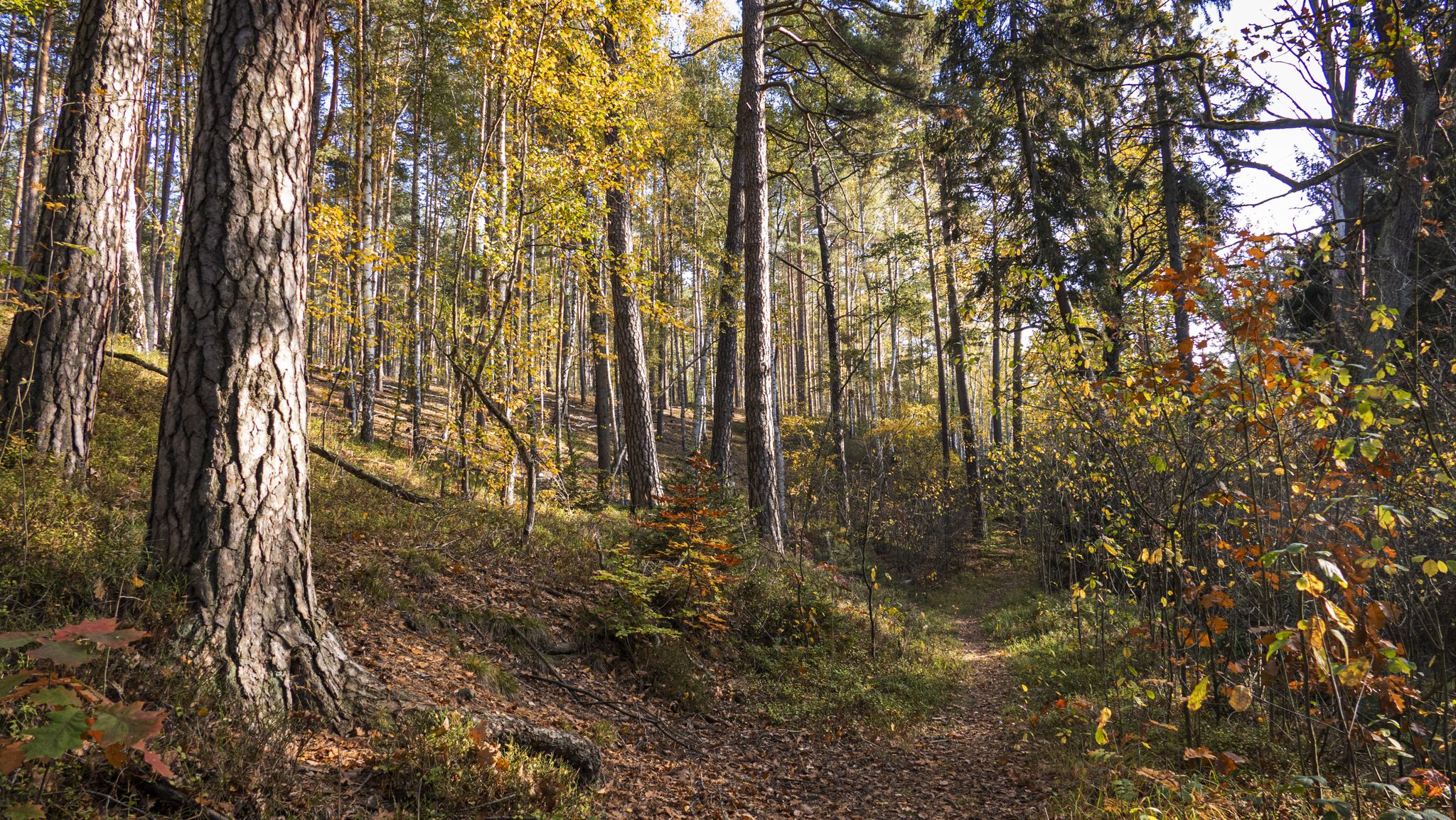
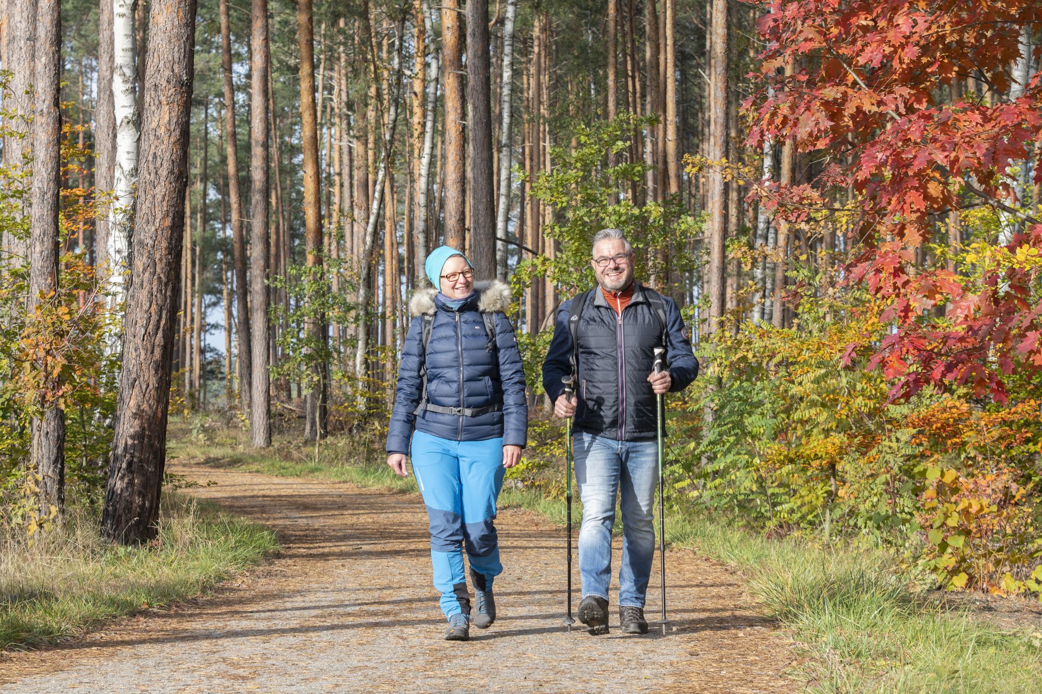
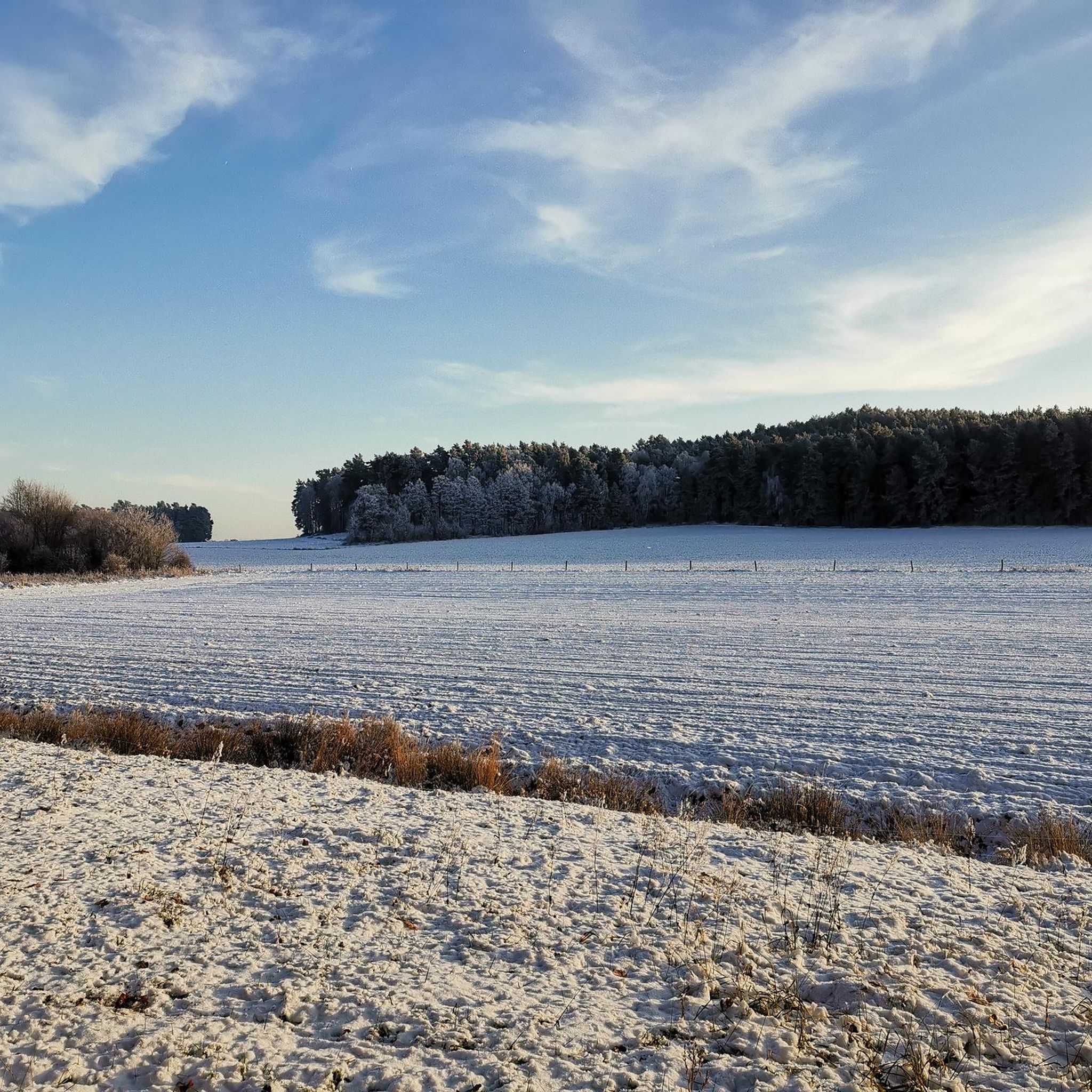
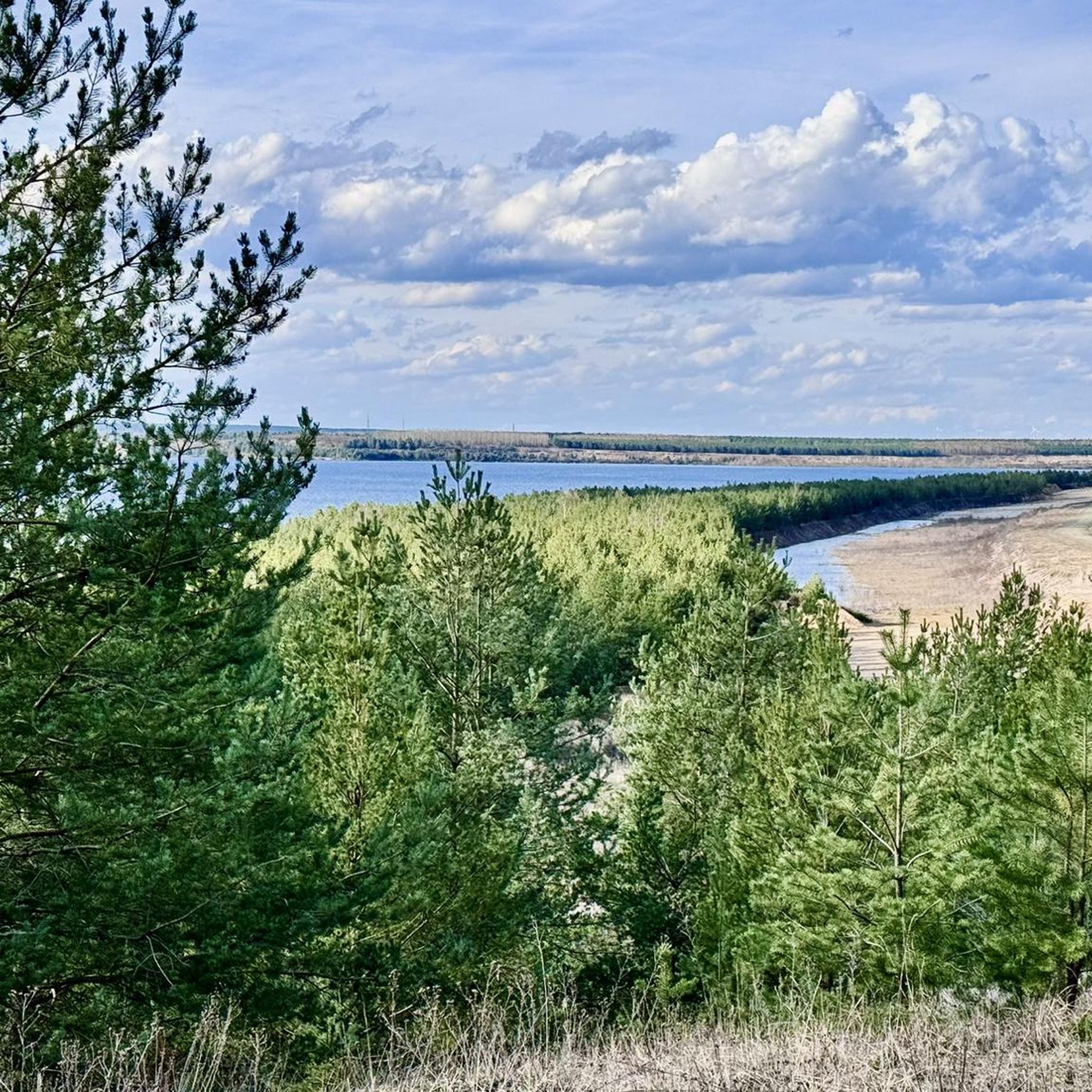
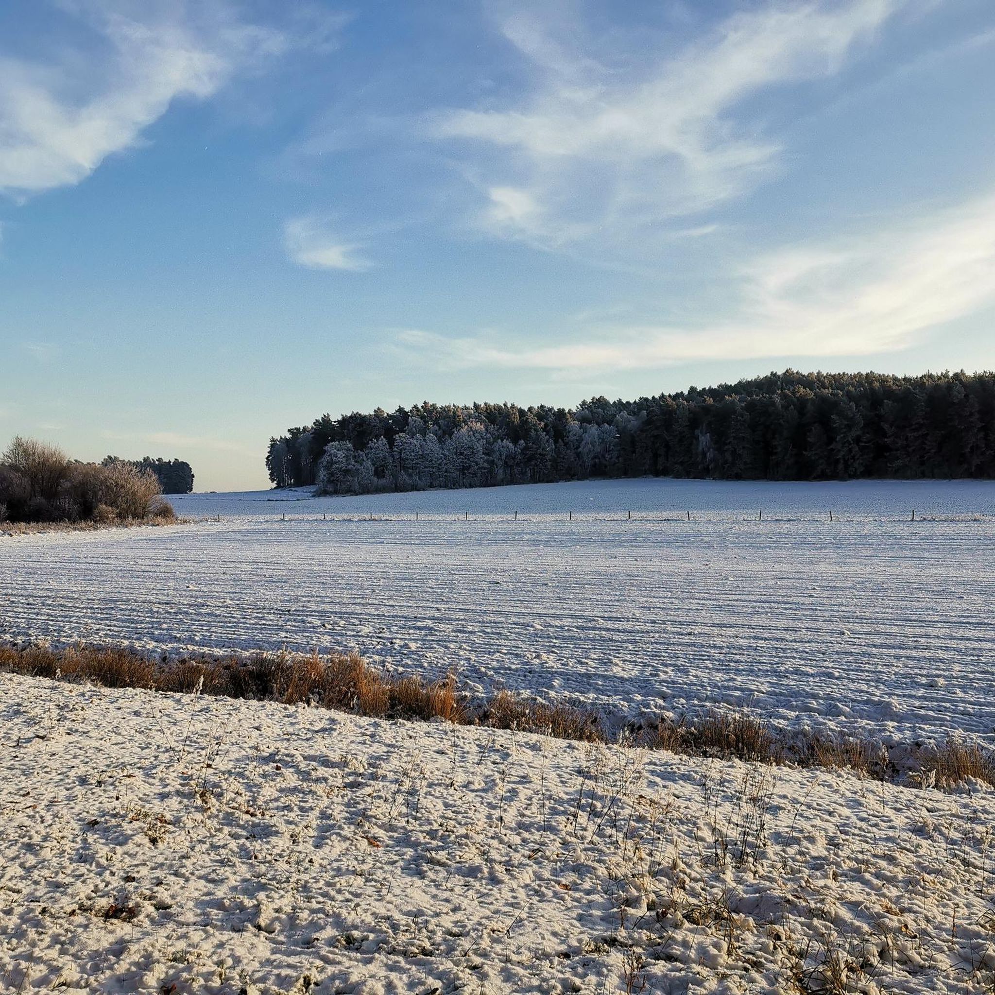
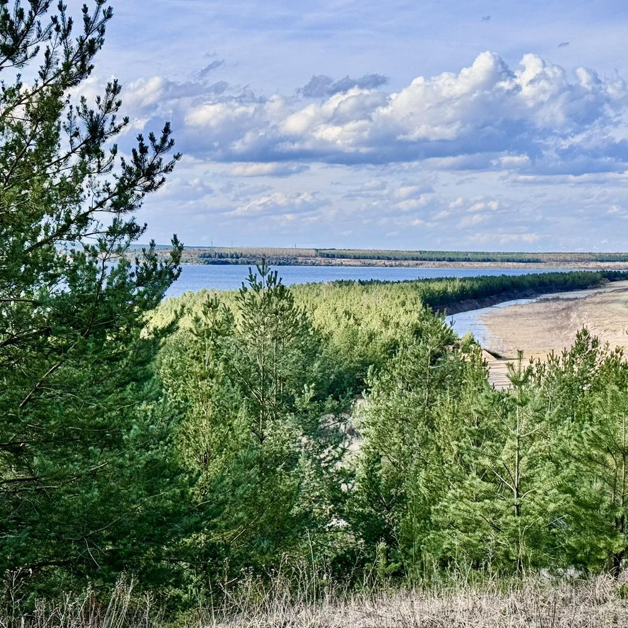
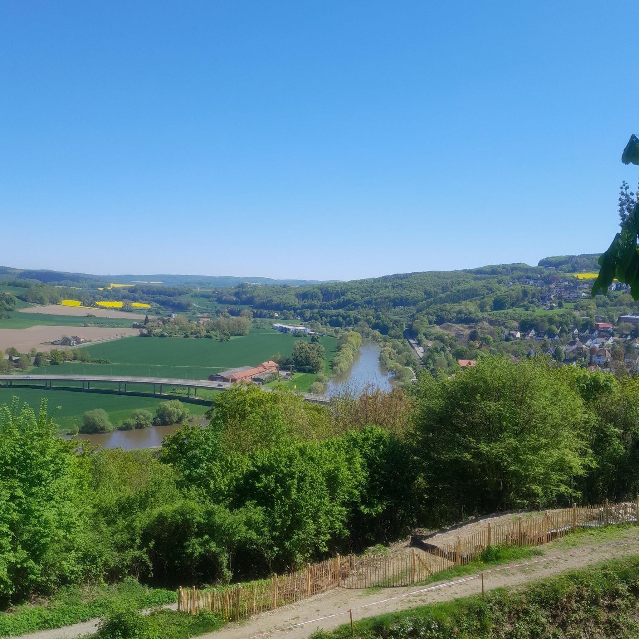


Tips from the Community

Beautiful refreshing swimming lake.
0
0

The cycle path is okay, although the road is the better alternative for road bikes.
0
0

The neo-baroque plastered church was built between 1918 and 1921 according to plans by the Berlin architect Curt Steinberg and was consecrated on January 20, 1921. The medieval predecessor of the church burned down completely on May 12, 1914, due to arson. Among other things, a wooden baptismal font from the 18th century could be saved from the old furnishings. The striking, 41-meter-high west tower houses Brandenburg's largest steel bell set. The ceiling of the nave has a barrel vault with a richly decorated coffered ceiling of 176 panels, which are painted with Christian symbols and floral motifs.
1
0
Asphalt with high rolling resistance. Here and there there are also a few bumps, but overall it's easy to ride.
1
0

quiet road, very good to ride
1
0
Whether for sunset, a round trip or just chilling. I can recommend the lake and the cycle path, although in season you have to expect many other participants on the cycle path.
0
0

There are two staircases leading up. The right one is a bit easier to navigate, but it's a bit overgrown with blackberries, but it was manageable.
0
0

Open-cast mining used to be!
1
0
Frequently Asked Questions
How many road cycling routes are available in Luckaitztal?
Luckaitztal offers a wide selection of road cycling routes, with over 40 distinct tours available. These routes cater to various skill levels, including 7 easy and 34 moderate options, ensuring there's something for every cyclist.
What kind of terrain can I expect when road cycling in Luckaitztal?
The terrain in Luckaitztal is quite diverse, reflecting its unique history and natural features. You'll find flat, water-rich sections in the Spreewald UNESCO Biosphere Reserve, undulating hills in the Calauer Schweiz, and well-developed paths around the interconnected lakes of the Lusatian Lake District. The Niederlausitzer Landrücken Nature Park also offers serene roads, providing a varied cycling experience across reclaimed lands and natural areas.
Are there easy road cycling routes suitable for beginners or families in Luckaitztal?
Yes, Luckaitztal has several easy road cycling routes perfect for beginners or families. One notable option is the Gräbendorfer Lake – Altdöbern Village Church loop from Altdöbern, which covers 29.3 miles (47.1 km) and features minimal elevation gain, making it a comfortable ride for those seeking a relaxed experience.
What are some scenic points of interest to see along the road cycling routes?
Road cycling routes in Luckaitztal pass by numerous scenic points of interest. You can explore the transformed landscapes of the Lusatian Lake District, including the Lake Sedlitz and the Großräschen Lake Pier. The IBA Terraces at Großräschener See offer panoramic views and insights into the region's development. Additionally, historical sites like Altdöbern Castle and Park provide cultural stops along your ride.
Are there circular road cycling routes in the region?
Yes, many road cycling routes in Luckaitztal are designed as circular loops, allowing you to start and end at the same point. Examples include the Altdöbern Village Church – View of Altdöberner See (West) loop from Altdöbern, a 49.5 miles (79.6 km) route, and the shorter Gräbendorfer Lake – Gräbendorfer Lake loop from Altdöbern, which is 21.9 miles (35.3 km). These loops are ideal for exploring specific areas like the Lusatian Lake District or the Calauer Schweiz.
What do other road cyclists enjoy most about road cycling in Luckaitztal?
The road cycling experience in Luckaitztal is highly rated by the komoot community, with an average score of 4.7 stars from over 29 reviews. Cyclists often praise the well-maintained paths, the unique blend of industrial heritage and rejuvenated nature, and the serene roads that offer a peaceful ride away from heavy traffic. The diverse landscapes, from the flat Spreewald to the undulating Calauer Schweiz, are also frequently highlighted.
Can I find cafes or places to rest along the road cycling routes?
Yes, the region boasts a well-developed cycling infrastructure that includes inviting rest areas. While specific cafes are not listed for every route, the presence of villages and attractions like the IBA Terraces at Großräschener See suggests opportunities for refreshments and breaks. Many local circular routes, such as those around Altdöbern Castle, are designed to pass through areas with amenities.
What is the best time of year for road cycling in Luckaitztal?
The best time for road cycling in Luckaitztal is generally from spring through autumn. During these seasons, the weather is most favorable, and the natural beauty of areas like the Spreewald and the Lusatian Lake District can be fully enjoyed. While winter cycling is possible, conditions may include colder temperatures and potential for snow or ice, especially on less-trafficked paths.
Are there any routes that showcase the region's mining history?
Absolutely. The region's transformation from a lignite mining area is a defining characteristic. The extensive Lower Lusatian Mining Route, though not one of the specific komoot routes listed here, is a prime example, guiding cyclists through former open-cast mines and showcasing the industrial transformation. Many local routes, such as the Altdöbern Village Church – Großräschen Lake Pier loop from Altdöbern, also pass by reclaimed mining sites and the interconnected lakes of the Lusatian Lake District, which are a direct result of this history.
Are there any routes with significant elevation changes for more advanced cyclists?
While Luckaitztal is generally known for its gentle terrain, the undulating hills of the Calauer Schweiz natural protected area offer more varied elevation profiles. Routes like the Altdöbern Village Church – View of Altdöberner See (West) loop from Altdöbern, with an elevation gain of 387 meters over 49.5 miles (79.6 km), provide a moderate challenge for those seeking more dynamic rides.
Is public transport available to access road cycling routes in Luckaitztal?
The region's well-developed infrastructure supports accessibility. While specific public transport links to every trailhead are not detailed, the area is known for its good connectivity. Many routes start from towns like Altdöbern, which are typically accessible by regional public transport, allowing cyclists to reach starting points without a car.
Most popular routes around Luckaitztal
Most popular attractions around Luckaitztal

Get inspired with the komoot mobile app


Explore more
Browse the best Road cycling routes in other regions.
