The best hikes from bus stations around Eisenhüttenstadt
4.6
(219)
1,347
hikers
151
hikes
Bus station hiking trails around Eisenhüttenstadt offer access to diverse natural landscapes shaped by the Oder-Spree Canal and the Oder and Spree rivers. The region features gentle hills, such as the Diehloer Berge, within the broader Warsaw-Berlin glacial valley. Extensive forest areas, including parts of the Schlaubetal Nature Park, provide varied terrain for exploration. These natural features contribute to a network of hiking trails near Eisenhüttenstadt public transport, suitable for various fitness levels.
Best bus station hiking trails around Eisenhüttenstadt
…Last updated: July 11, 2026
5.0
(5)
29
hikers
Moderate hike. Good fitness required. Easily-accessible paths. Suitable for all skill levels.
4.5
(6)
35
hikers
Easy hike. Great for any fitness level. Easily-accessible paths. Suitable for all skill levels.

Sign up for free
4.1
(7)
22
hikers
Moderate hike. Good fitness required. Easily-accessible paths. Suitable for all skill levels.
4.9
(13)
56
hikers
Easy hike. Great for any fitness level. Easily-accessible paths. Suitable for all skill levels.
5.0
(8)
26
hikers
Moderate hike. Good fitness required. Easily-accessible paths. Suitable for all skill levels.
Get access to more routes and recommendations from other explorers.
Sign up for free
Already have an account?
Our route recommendations are based on thousands of hikes, rides, and runs completed by other people on komoot.
Start today with a free account
Your next adventure awaits.
Login or Signup

Other adventures around Eisenhüttenstadt


Tips from the Community

From the clay pits near the grinding mill (on the Pohlitz Mühlenfließ), raw clay was transported by field railway to the large ring kiln of the Maaß brickworks on the Oder-Spree Canal. (Source: Eisenhüttenstadt and its Surroundings, Klaus-Dieter Gansleweit, Akademie-Verlag Berlin, 1986)
1
0

In the middle of the Brandenburg Forest, where the pines filter the light with their long needles and the blackberry vines have long since taken over, it still stands – a picnic shelter seemingly out of time. The wood is weathered, the roof crooked – and yet: a place made for a sandwich with a view. No Instagram filter can convey what this place has to say. The journey here isn't an event, but a transition. Old waterworks paths, the occasional crackling in the woods, an information board that has long since fallen silent. You don't come for the view, you come because you don't want to be seen for a change. And that's precisely why this shelter is so beautiful. It stands there as if it no longer wants to prove anything to anyone – and in doing so, it's doing exactly the right thing. The wood creaks when you sit down. The wind plays with the roof, as if testing whether it will hold today. And the stream that flows through the grounds somewhere back there doesn't make a sound. Anyone who sits here not only has a break, but also a moment of clarity: The world is complicated – but a wooden bench in the forest can be quite simple. Perhaps a buzzard will pass by. Maybe just a mosquito. Maybe you just stay seated because there's nothing to do. And at some point you realize: That's enough.
0
0


Art has been used on many houses, including this one. There are many interesting examples throughout the city.
0
0

Unfortunately, it's quite crowded on weekends. Best viewed during the week
0
0

The stream, which rises at the goldfish ponds and runs partly underground, flows into the Oder-Spree canal. A detour to the Garden Stream is definitely recommended and is an insider tip, and not just for art lovers. With around 20 sculptures, the Garden Stream is home to the largest number of over 100 works of art in the city.
4
0

A very nice place for a rest.
0
0

Several lakes, former Ķiesgruben, are now a natural oasis and popular with anglers.
1
0
Frequently Asked Questions
How many bus station accessible hiking trails are there around Eisenhüttenstadt?
There are over 150 hiking routes around Eisenhüttenstadt that are easily accessible from local bus stations. These trails cater to various fitness levels, with a strong emphasis on easy and moderate options.
What kind of landscapes can I expect on bus-accessible hikes around Eisenhüttenstadt?
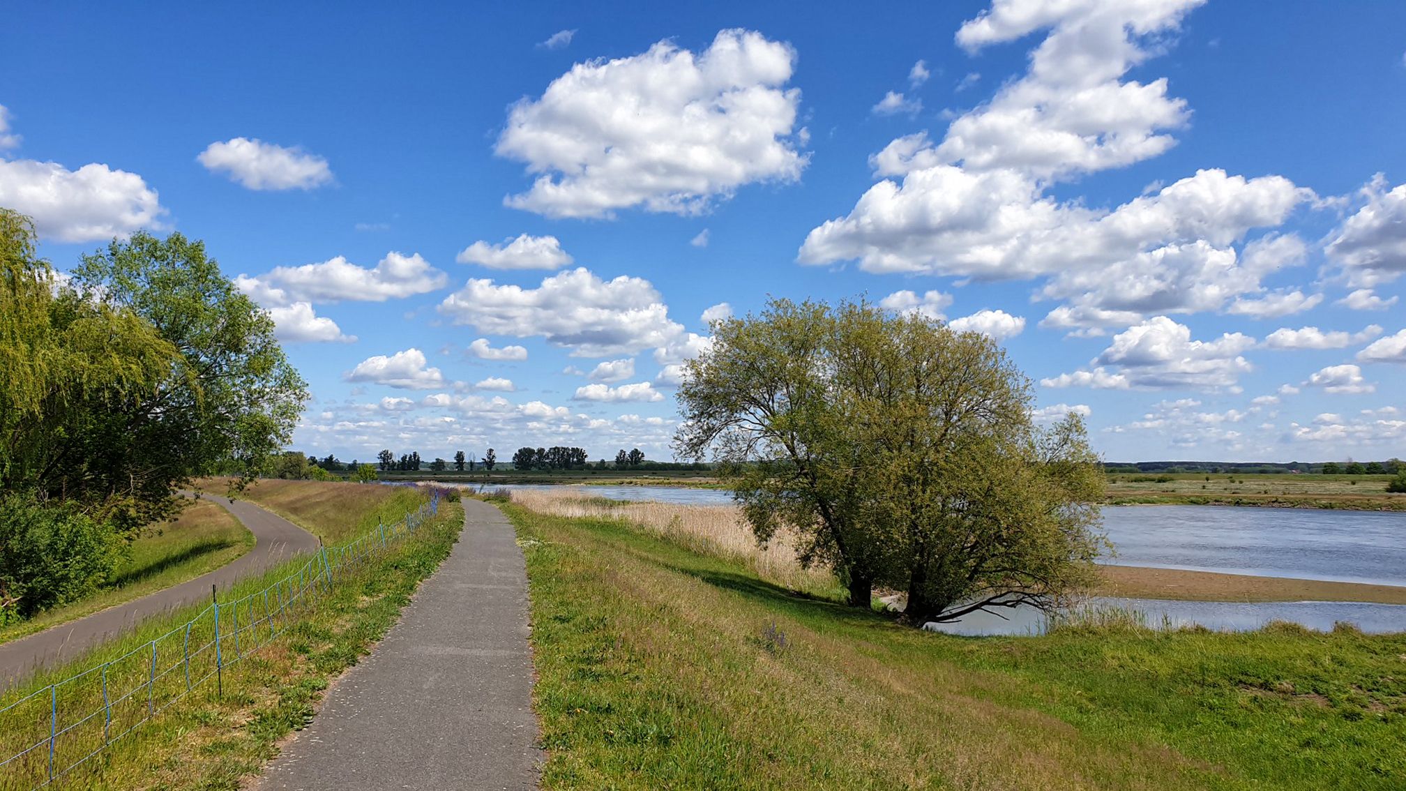
The region offers diverse landscapes, from tranquil riverine paths along the Oder-Spree Canal and the Oder River to the gentle hills of the Diehloer Berge. You'll also find extensive forest areas, including parts of the beautiful Schlaubetal Nature Park, providing varied terrain and opportunities for immersion in nature.
Are there easy hiking trails accessible by bus from Eisenhüttenstadt?
Yes, a significant number of trails are easy. For instance, the Twin Shaft Lock – Eisenhüttenstadt Lock loop from Fürstenberg (Oder) is an easy 5.8 km route. Another great option is the Kingfisher Trail Pohlitz – Mine Railway Embankment loop, which is also easy and about 5.6 km long.
Are there more challenging hikes reachable by bus from Eisenhüttenstadt?
While most trails are easy to moderate, you can find longer, more demanding options. The Eisenhüttenstadt Lock – Twin Shaft Lock loop from Eisenhüttenstadt is a moderate 15.6 km hike that guides you through riverine landscapes and past historical locks, offering a blend of nature and historical interest.
Are there any interesting landmarks or natural sights to see on these bus-accessible trails?
Absolutely. Many trails offer scenic views and points of interest. You might encounter historical sites like the Ruins of the Vogelsang Power Plant or natural highlights such as Schinkensee. The Eisenhüttenstadt Nature Trail, accessible from Zentraler Platz, also features the "Rosenhügel" recreation area with goldfish ponds and diverse flora.
What is the best time of year to hike near Eisenhüttenstadt bus stations?
The region is enjoyable year-round, but spring and autumn offer particularly pleasant conditions with mild temperatures and vibrant natural colors. Spring brings blooming rhododendrons and mirabelle trees, while autumn showcases the rich foliage of the extensive forests. Summer is also popular, especially along the riverine paths.
Are the bus-accessible hiking trails around Eisenhüttenstadt suitable for families?
Yes, many trails are well-suited for families. The region's hiking network includes numerous easy routes with minimal elevation gain, perfect for younger hikers. The Eisenhüttenstadt Nature Trail, for example, is an approximately 8-kilometer circular route with educational boards, making it an engaging option for families.
Can I bring my dog on these bus-accessible hiking trails?
Generally, dogs are welcome on the hiking trails around Eisenhüttenstadt, especially in the extensive forest areas and along the river paths. However, always keep your dog on a leash, especially in nature protection areas like the Schlaubetal Nature Park, and be mindful of local regulations and wildlife.
Are there places to eat or stay near the bus-accessible trailheads?
Yes, you'll find various amenities in and around Eisenhüttenstadt and its surrounding villages. Depending on your chosen trailhead, you can often find local eateries, cafes, or guesthouses. For example, Fürstenberg (Oder), a common starting point for several routes, offers options for refreshments and accommodation.
Do I need any special permits to hike in the nature areas around Eisenhüttenstadt, like Schlaubetal Nature Park?
No special permits are typically required for general hiking on marked trails within the Schlaubetal Nature Park or other natural areas around Eisenhüttenstadt. However, always respect nature conservation rules, stay on designated paths, and do not disturb wildlife or plants.
What do other hikers say about the trails around Eisenhüttenstadt?
The hiking trails around Eisenhüttenstadt are highly rated by the komoot community, with an average score of 4.6 stars from over 220 ratings. Reviewers often praise the quiet woodlands, well-maintained paths, and the scenic beauty of the Oder-Spree Canal and surrounding nature.
Can I find circular hiking routes starting from bus stations in the Eisenhüttenstadt area?
Yes, many of the bus-accessible routes are designed as circular trails, allowing you to start and end at the same point, often conveniently located near a bus stop. The Old Oder Bridge of Fürstenberg – Mouth of the Oder-Spree Canal loop is a great example of a circular route starting from Fürstenberg (Oder).
Most popular routes around Eisenhüttenstadt
Most popular attractions around Eisenhüttenstadt

Get inspired with the komoot mobile app


Explore more
Browse the best Hikes in other regions.
