The best hikes from bus stations around Landkreis Neustadt an der Waldnaab
4.6
(10214)
37,918
hikers
1,912
hikes
Bus station hiking trails around Landkreis Neustadt an der Waldnaab traverse a diverse landscape characterized by forests, rolling hills, rivers, and meadows within Bavaria's Upper Palatinate region. The area features the Waldnaabtal, known for its unique geological formations and granite cliffs, and the Naturpark Steinwald, with distinctive rock formations and granite boulders. The Oberpfälzer Wald contributes mystic forest landscapes and rugged creek valleys, offering varied terrain for outdoor exploration.
Best bus station hiking trails around Landkreis Neustadt an der Waldnaab
…Last updated: October 14, 2026
4.3
(35)
98
hikers
12.4km
03:35
310m
310m
Moderate hike. Good fitness required. Easily-accessible paths. Suitable for all skill levels.
4.8
(117)
461
hikers
Easy hike. Great for any fitness level. Easily-accessible paths. Suitable for all skill levels.

4.1
(48)
146
hikers
9.10km
02:30
150m
150m
Moderate hike. Good fitness required. Easily-accessible paths. Suitable for all skill levels.
4.7
(133)
379
hikers
Moderate hike. Good fitness required. Easily-accessible paths. Suitable for all skill levels.
4.7
(98)
326
hikers
24.2km
06:21
190m
190m
Hard hike. Very good fitness required. Easily-accessible paths. Suitable for all skill levels.
Get access to more routes and recommendations from other explorers.
Already have an account?
Our route recommendations are based on thousands of hikes, rides, and runs completed by other people on komoot.
Start today with a free account
Your next adventure awaits.
Popular around Landkreis Neustadt an der Waldnaab

Hikes from bus stations around Windischeschenbach

Hikes from bus stations in Altenstädter Wald

Hikes from bus stations around Grafenwöhr

Hikes from bus stations around Manteler Forst

Hikes from bus stations around Großer Rußweiher (Obersee)

Hikes from bus stations in Torflohe Und Pfrentschwiese

Hikes from bus stations in Pressather Wald
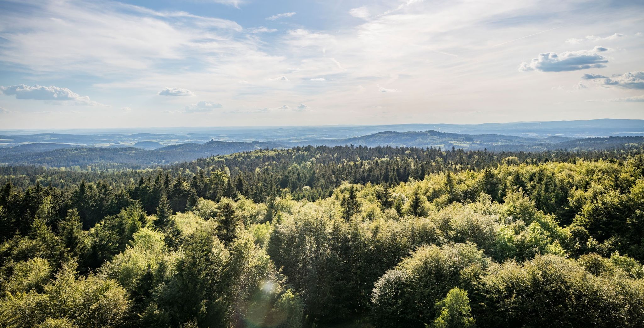
Nurtschweg – Hiking along the German-Czech border
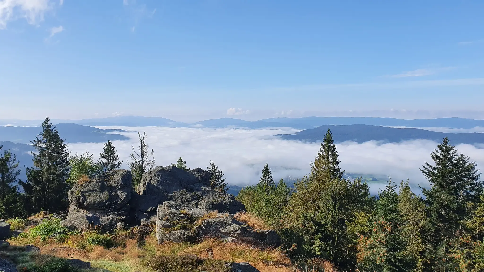
The Goldsteig – 38 stages between Upper Palatinate and Passau
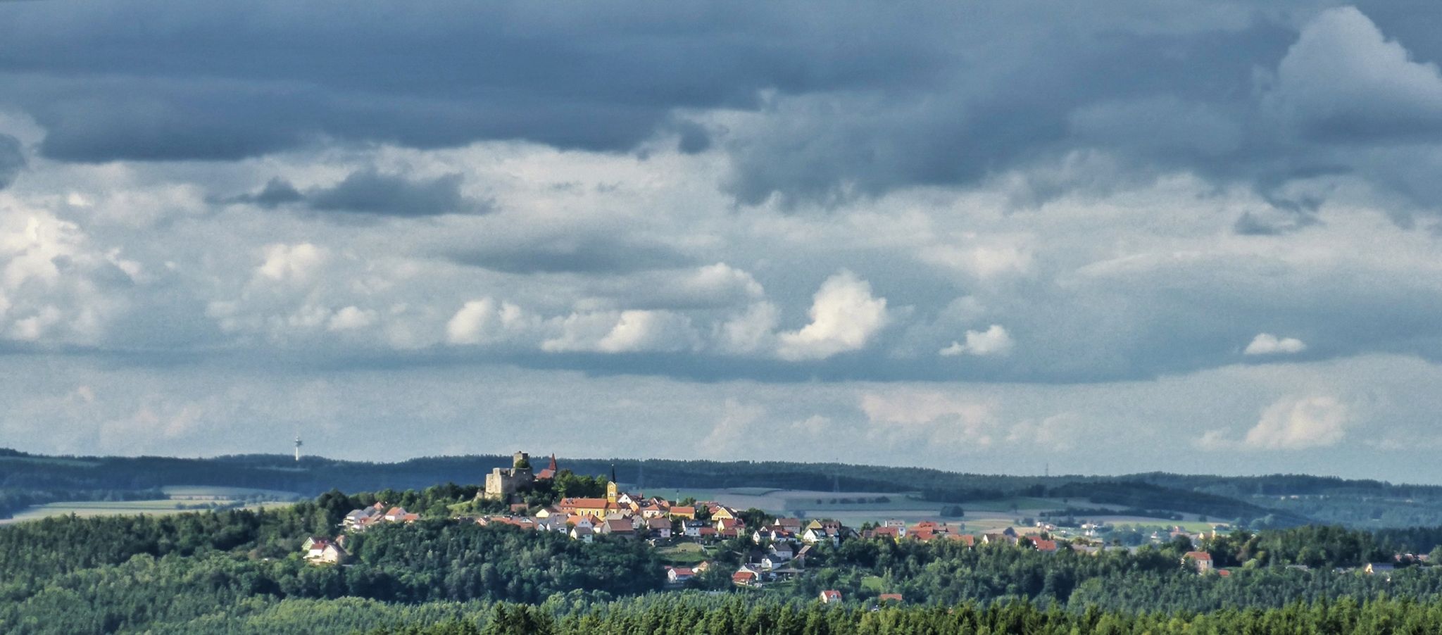
The Upper Palatinate Castle Trail — 9 days in picturesque northern Bavaria
Other adventures around Landkreis Neustadt an der Waldnaab


Tips from the Community

On the striking Haselstein once stood a late medieval hilltop castle, likely built around 1400. For centuries, it dominated the rocky summit before losing its significance towards the end of the 16th century and gradually falling into disrepair. Today, only a few traces of the former castle complex remain. On the granite rock stands a small shelter for hikers and cyclists.
7
0
In Hildweinsreuth lies the geographical center of Central Europe. The current monument was erected in 1985 and marks the spot with a granite disc and a metal cone. But: There isn't one single, undisputed center of Europe. Depending on the calculation method and the borders used, various locations have been determined as the center of Europe. Only a few kilometers away, near Bad Neualbenreuth, is another historical "center of Europe". This dates back to a survey from 1865. In any case, it's a special feeling to stand in the middle of Europe once.
12
0

Wooden birdwatching hut overlooking the Obersee. Here you can discover the pond with its animals and plants or take a short break. Useful to bring: binoculars and bird identification book/app. 🦆🦅🦢
0
0


Impressive landscape, always wonderful to be here
0
0


Hidden in the forest and uncrowded, the Haselstein Castle ruins await you. A lovely little destination.
1
0
Frequently Asked Questions
How many bus station hiking trails are available in Landkreis Neustadt an der Waldnaab?
There are nearly 2,000 hiking trails accessible by bus in Landkreis Neustadt an der Waldnaab. This includes over 1,000 easy routes, making it a great region for hikers of all abilities to explore using public transport.
What makes hiking from bus stations in Landkreis Neustadt an der Waldnaab unique?
The region offers a diverse landscape, from the dramatic rock formations of the Waldnaabtal, often called the 'Upper Palatinate Grand Canyon,' to the mystical forests and granite boulders of the Naturpark Steinwald. Many trails are directly accessible from bus stops, allowing you to immerse yourself in nature without needing a car. You can explore unique geological features like the Doost Granitblockfeld or enjoy panoramic views from the Oberpfalzturm.
Are there easy bus station hikes suitable for beginners or families?
Yes, the region has over 1,000 easy routes. A great option for families or beginners is the Muhmenmoor – Wayside cross at Rußweiher loop from Vogelfreistätte Großer Rußweiher. This easy 4.7 km loop offers minimal elevation gain and takes you through the scenic Rußweiher nature reserve.
Can I find longer or more challenging bus station hikes?
Absolutely. For a moderate challenge, consider the Over the Haselstein to the Mittelpunkt Mitteleuropas route, a 12.4 km hike with rewarding views. If you're looking for a more difficult, longer adventure, the Land of 1,000 Ponds – Perlsee loop from Tannenlohe is a challenging 24.2 km trail that takes you through varied landscapes.
Are there bus station hikes that offer scenic viewpoints?
Yes, many trails lead to stunning viewpoints. The Naturpark Steinwald is home to the Platte, where the Oberpfalzturm offers expansive panoramic views, even extending to the Czech Republic on clear days. The Waldeck Castle Ruins, perched on a basalt cone, also provide magnificent vistas over the Steinwald Forest. You can also find great views from the Vierling Tower.
Can I find bus station hikes that feature unique natural formations?
The region is rich in unique natural formations. The Waldnaabtal is famous for its impressive rock structures and granite cliffs. Another highlight is the Doost Granite Boulder Field – Devil's Butter Churn loop from Störnstein, where you can witness a striking 'sea of stone blocks' formed by large, rounded granite boulders. The Steinwald also features the distinctive 'Brotfelsen' (Bread Rock).
Are there any historical sites or cultural attractions accessible via bus station hikes?
Yes, several historical sites are within reach. The Burgruine Leuchtenberg is a significant and well-preserved castle ruin. The Weißenstein Castle Ruins are a landmark of the Steinwald, offering remarkable views. You can also explore the Haselstein castle site, which is a historical highlight along some routes.
Are bus station hiking trails in Landkreis Neustadt an der Waldnaab dog-friendly?
Many trails in the region are dog-friendly, allowing you to enjoy the beautiful scenery with your canine companion. However, it's always recommended to keep dogs on a leash, especially in nature reserves like the Waldnaabtal or Rußweiher, to protect wildlife and ensure a pleasant experience for all hikers. Always check local signage for specific rules.
Are there circular bus station walks available?
Yes, many of the bus-accessible trails are designed as circular routes, allowing you to start and end your hike at the same bus stop. For example, the Pfreimdtal Riverside Trail – Trausnitz Reservoir loop from Tännesberg (VGem) is a moderate 12.3 km circular hike that offers beautiful riverside scenery.
What do other hikers say about the bus station trails in this region?
The area is highly rated by the komoot community, with an average score of 4.6 stars from nearly 9,000 ratings. Reviewers often praise the well-maintained paths, the stunning natural beauty of areas like the Waldnaabtal, and the convenience of accessing diverse trails directly from public transport stops.
Are there places to eat or rest along the bus station hiking routes?
Yes, especially in popular areas like the Waldnaabtal Nature Reserve, you can find outing restaurants with regional cuisine and beer gardens, which make for convenient resting spots or starting points. Some routes also pass by huts or facilities like the Old Mill Gehenhammer.
Most popular routes around Landkreis Neustadt an der Waldnaab
Most popular attractions around Landkreis Neustadt an der Waldnaab

Get inspired with the komoot mobile app


Didn’t find what you were looking for?
Check out more Hikes throughout Landkreis Neustadt an der Waldnaab below and find the perfect route in your destination.
Explore more
Browse the best Hikes in other regions.
