The best traffic-free bike rides around Traitsching
4.9
(10)
66
riders
16
rides
Gravel biking around Traitsching, nestled in Bavaria, Germany, offers diverse routes across a varied landscape. The region features a mix of paved and unpaved paths, providing opportunities for cyclists to encounter winding trails and potentially uneven terrain. Rural routes with minimal vehicle traffic allow for immersion in the natural scenery, including inclines and descents suitable for gravel riders. This area is characterized by its suitability for mixed-surface cycling experiences.
Best no traffic gravel bike trails around Traitsching
- The most popular…
Last updated: July 11, 2026
5.0
(1)
10
riders
Hard gravel ride. Very good fitness required. You may need to push your bike for some segments of this route.
5.0
(2)
17
riders
37.3km
01:56
270m
260m
Moderate gravel ride. Good fitness required. Mostly paved surfaces. Suitable for all skill levels.

Sign up for free
5.0
(1)
10
riders
17.5km
00:56
110m
110m
Easy gravel ride. Great for any fitness level. Mostly paved surfaces. Suitable for all skill levels.
5.0
(2)
10
riders
80.7km
04:22
620m
620m
Hard gravel ride. Very good fitness required. Mostly paved surfaces. Suitable for all skill levels.
4.5
(2)
11
riders
47.2km
02:36
160m
160m
Moderate gravel ride. Good fitness required. Mostly paved surfaces. Suitable for all skill levels.
Get access to more routes and recommendations from other explorers.
Sign up for free
Already have an account?
Our route recommendations are based on thousands of hikes, rides, and runs completed by other people on komoot.
Start today with a free account
Your next adventure awaits.
Login or Signup
Popular around Traitsching

Tips from the Community

unfortunately I don't understand why several highlights need to be created for the same cycle path
0
0
beautiful old train station building in Konzell
0
0
beautiful cycle path that is very easy to ride with a gravel bike. Coming from Miltach, it stretches a bit to Konzell, but it's nothing serious
0
0
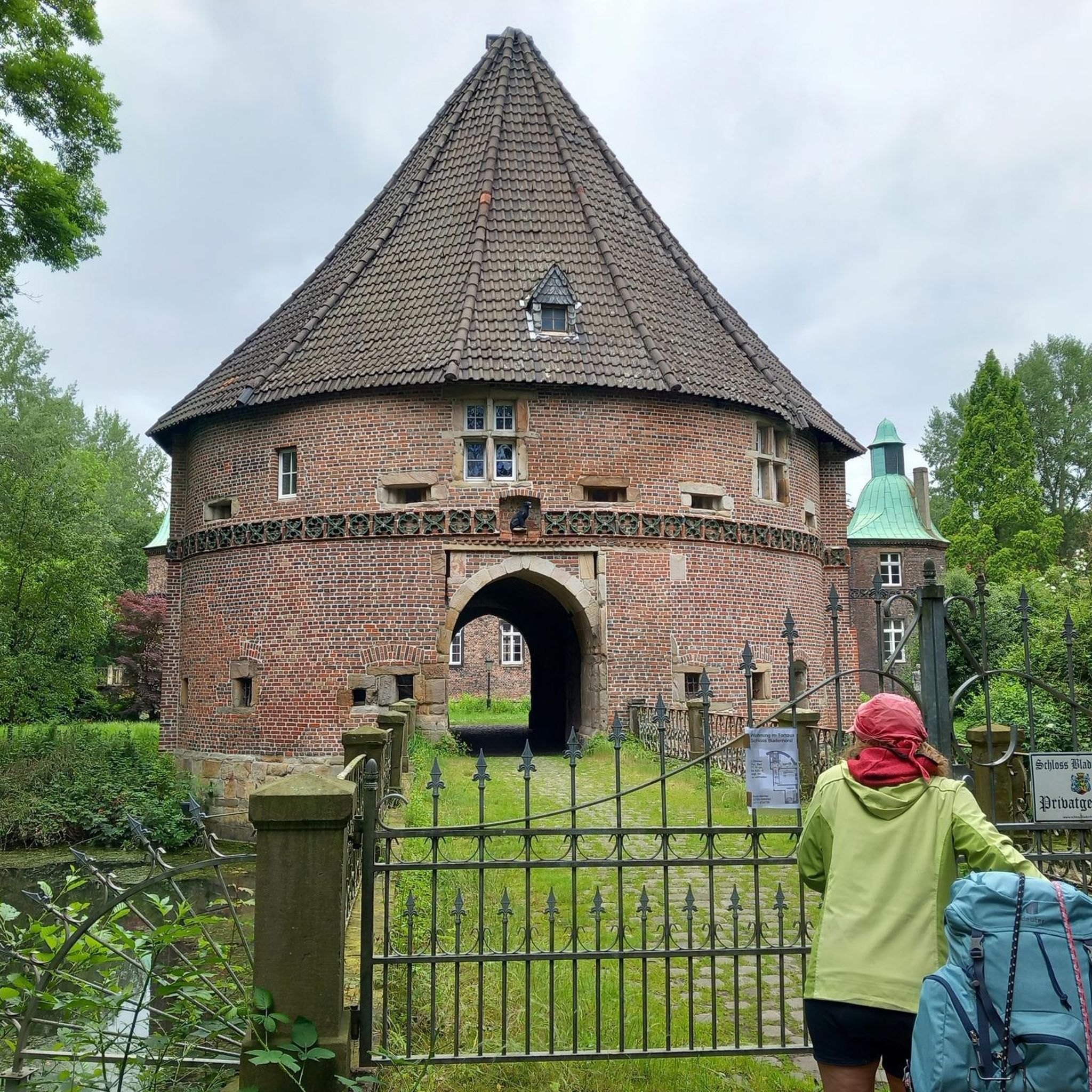
from the Donau-Regen-Radweg you have this view of the castle
0
0
The cycle path runs directly along the Regen river and therefore naturally has no significant climbs.
0
0

From here you have a magnificent view.
0
0

Beautiful old bridge over the Regen.
1
0

From the observation tower you can enjoy a fantastic view of the Regen and the surrounding fields and meadows.
0
0
Frequently Asked Questions
How many no-traffic gravel bike trails are available in Traitsching?
Komoot features 16 dedicated no-traffic gravel bike trails around Traitsching. These routes offer a mix of easy, moderate, and challenging options, ensuring there's something for every skill level.
What kind of terrain can I expect on the gravel bike trails in Traitsching?
Traitsching's gravel trails are characterized by a diverse mix of paved and unpaved paths, offering winding routes and potentially uneven terrain. You'll often find yourself on rural roads with minimal vehicle traffic, allowing for an immersive experience in the natural scenery.
Are there any easy no-traffic gravel routes suitable for beginners or families?
Yes, there are easy no-traffic gravel routes perfect for beginners. A great option is the View of Altrandsberg Castle – Danube-Regen Cycle Path loop from Miltach. This route is 17.5 km long with a manageable 108 meters of elevation gain, making it ideal for a relaxed ride.
Can I find challenging gravel routes with significant elevation in Traitsching?
Absolutely. For those seeking a challenge, Traitsching offers routes with substantial elevation. Consider the Bridge over the River Regen – View of Altrandsberg Castle loop from Siegersdorf, which features over 700 meters of ascent over 45 km, providing a rewarding workout amidst scenic landscapes.
What natural features or landmarks can I see along the no-traffic gravel trails?
Many trails offer glimpses of the region's natural beauty and historical sites. You might encounter features like the Rock Passage or the unique Herzbeutelgässchen. The region is also home to historic landmarks such as Burgruine Runding, and some routes offer views of Altrandsberg Castle.
Are there any loop routes available for gravel biking in Traitsching?
Yes, all the no-traffic gravel routes listed are designed as loops, allowing you to start and finish at the same point. For example, the Bridge over the River Regen – Lake Blaibach loop from Rattenberg is a moderate 36 km loop that takes you through varied scenery.
What do other gravel bikers enjoy most about Traitsching?
The komoot community highly rates the gravel biking experience in Traitsching, with an average score of 4.76 stars. Reviewers often praise the quiet, traffic-free nature of the routes, the diverse landscapes, and the opportunity to explore charming Bavarian countryside.
Are there any trails that pass by water features like rivers or lakes?
Yes, several routes incorporate water features. The Pösinger bathing pond – Regen River Bridge loop from Cham (Oberpf) is a great example, offering views of the Regen River and a bathing pond, perfect for a refreshing stop.
What is the best time of year for gravel biking in Traitsching?
While specific weather conditions vary, spring through autumn generally offer the most pleasant conditions for gravel biking in Traitsching. During these seasons, the weather is typically mild, and the natural landscapes are at their most vibrant, enhancing the riding experience.
Are there any huts or shelters along the trails for a break?
Yes, the region around Traitsching features several huts and shelters that can serve as convenient resting points. Notable options include the Hansl Hut and the Kreuzhaus Mountain Inn, offering places to pause and enjoy the surroundings.
Can I access these gravel trails using public transport?
Traitsching is a rural area, and while public transport options exist, direct access to all trailheads might be limited. It's advisable to check local bus or train schedules for connections to towns near your chosen starting point, such as Miltach or Cham, and plan accordingly for the 'last mile' to the trail.
Where can I find parking for my gravel bike adventure in Traitsching?
Many of the routes start from villages or towns like Siegersdorf, Rattenberg, or Miltach. These locations typically offer public parking facilities. It's recommended to check specific starting points for designated parking areas to ensure convenient access to the trails.
Most popular routes around Traitsching
Most popular attractions around Traitsching

Get inspired with the komoot mobile app


Explore more
Browse the best Gravel rides in other regions.
