The best traffic-free bike rides around Thurmansbang
4.4
(50)
245
riders
18
rides
No traffic touring cycling routes around Thurmansbang traverse a landscape characterized by rolling hills and dense forests, forming part of the scenic Bavarian Forest. The region, also known as "Dreiburgenland," features historic castles and the picturesque Dreiburgensee. These physical features create diverse terrain, offering both leisurely routes along water bodies and more challenging paths through elevated areas.
Best no traffic touring cycling routes around Thurmansbang
- The most popular no traffic touring cycling route is Dreiburgensee – Hals Castle Ruins loop…
Last updated: July 11, 2026
4.6
(21)
79
riders
58.7km
04:08
830m
840m
Hard bike ride. Very good fitness required. Mostly paved surfaces. Suitable for all skill levels.
5.0
(1)
20
riders
30.2km
02:04
480m
480m
Hard bike ride. Very good fitness required. Mostly paved surfaces. Suitable for all skill levels.

Sign up for free
4.8
(4)
18
riders
9.58km
00:53
110m
110m
Easy bike ride. Great for any fitness level. Mostly paved surfaces. Suitable for all skill levels.
5.0
(1)
13
riders
42.6km
04:06
1,010m
1,010m
Hard bike ride. Very good fitness required. Mostly paved surfaces. Suitable for all skill levels.
3
riders
38.0km
03:40
910m
910m
Hard bike ride. Very good fitness required. Mostly paved surfaces. Suitable for all skill levels.
Get access to more routes and recommendations from other explorers.
Sign up for free
Already have an account?
Our route recommendations are based on thousands of hikes, rides, and runs completed by other people on komoot.
Start today with a free account
Your next adventure awaits.
Login or Signup
Popular around Thurmansbang
Tips from the Community

Partially challenging route guidance, as all types of traffic and many people meet here, consideration from everyone is called for.
0
0
A very beautiful place between the Danube and the Inn with the Ilz estuary in sight.
0
0

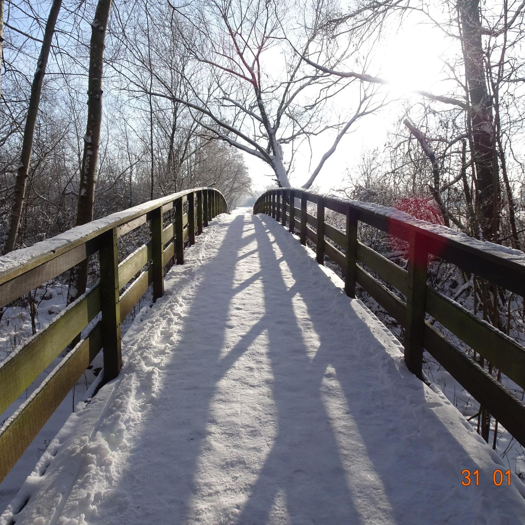
Beautiful rest area during a winter hike
0
0


At Dreiburgensee, you'll find several places to stop for refreshments: from the shady beer garden right on the shore to the inn at the open-air museum – regional delicacies and refreshing local beers await you everywhere. There's also an e-bike charging station along the way. An ideal stop amidst nature, culture, and culinary delights. https://www.museumsdorf.com/de/startseite/
0
0

The small pilgrimage church "Maria Bründl", (first built in 1482) with the "healing spring for eye ailments" in an idyllic location is an impressive highlight on this hike.
0
0

The Bavarian Forest Museum Village is one of the biggest attractions in the Bavarian Forest. Over the past decades, one of Europe's largest open-air museums has been created on the shores of the beautiful Dreiburgensee lake. More than 140 mostly furnished buildings now attract numerous visitors every year. Upon entering the museum village, you'll step into a bygone era and can admire the diverse house and farmstead styles of the Bavarian Forest from the 14th to the 19th centuries: mills, sawmills, wayside shrines, and chapels. A special attraction is Germany's oldest elementary school. https://www.gemeinde-sonnen.de/de/tourismus/ausflugsziele/89-museumsdorf-bayerischer-wald-in-tittling
4
0
The Dreiburgensee, formerly known as the Rothauer See, lies between the climatic health resort of Thurmansbang and Tittling in the Bavarian Forest. It was named after the surrounding Ilz Valley and Dreiburgenland, including Saldenburg Castle, Englburg Castle, and Fürstenstein Castle. The lake was first documented in 1703. It had been created shortly before as a fish farm by Lieutenant Field Marshal Max Josef Graf von Tauffkirchen zu Guttenburg. The dammed lake, with a length of 700 m and a maximum width of 200 m, has a surface area of 8 hectares and a maximum depth of 7 m. The border between the districts of Passau and Freyung-Grafenau runs across the lake. A roughly 2 km circular path along the lake's shore invites you to take leisurely strolls. In summer, the Dreiburgensee is a popular bathing spot with restaurants, hotels, and sunbathing lawns. In winter, you can ice skate and play curling on the frozen lake. Beavers have also been living at the lake for several years. By building a large dam at the lake's inlet, they have created a biotope of approximately 6 hectares, where rare bird species such as the black stork and the great egret can be seen. The Bavarian Forest Museum Village, one of the largest open-air museums in Europe, is located directly on the lake. https://www.bayerischer-wald.de/attraktion/dreiburgensee-1edb7f4942
3
0
Frequently Asked Questions
How many no-traffic touring cycling routes are available in Thurmansbang?
There are 21 dedicated no-traffic touring cycling routes around Thurmansbang featured on komoot. These routes offer a variety of experiences, from easy loops to more challenging tours through the scenic Bavarian Forest.
What is the best time of year for no-traffic touring cycling in Thurmansbang?
The best seasons for touring cycling in Thurmansbang are spring and autumn. During these times, temperatures are mild and the weather is generally stable, offering blooming nature in spring and picturesque colorful deciduous forests in autumn. This provides ideal conditions for enjoying the region's car-free paths.
Are there easy, no-traffic touring cycling routes suitable for beginners or families?
Yes, Thurmansbang offers easy no-traffic touring cycling routes perfect for beginners and families. For example, the Saldenburg Mill Pond – Bavarian Forest Open-Air Museum loop from Museumsdorf Bayerischer Wald is an easy 9.5 km route with minimal elevation, making it very accessible. The broader Bavarian Forest National Park also features over 200 kilometers of well-marked cycling paths suitable for various skill levels.
Can I find circular no-traffic touring cycling routes in Thurmansbang?
Absolutely, many of the no-traffic touring cycling routes in Thurmansbang are circular, allowing you to start and end at the same point. Examples include the challenging Dreiburgensee – Hals Castle Ruins loop from Museumsdorf Bayerischer Wald and the scenic Bründl Chapel – Dreiburgensee loop from Thurmansbang.
What kind of landscapes and natural features can I expect on these routes?
The no-traffic routes in Thurmansbang traverse diverse landscapes, from rolling hills and dense forests of the Bavarian Forest to the picturesque Dreiburgenland. You can expect to cycle along the shores of the beautiful Dreiburgensee, encounter unique natural monuments like the Wackelstein (Rocking Stone), and enjoy panoramic views from summits like the Brotjacklriegel Summit and Observation Tower.
Are there any historical or cultural attractions along the no-traffic routes?
Yes, the region is rich in history and culture. Many routes pass through the 'Dreiburgenland,' named after three castles: Saldenburg, Englburg, and Fürstenstein. You can also visit the Englburg Castle or the Fürsteneck Castle. The Museumsdorf Bayerischer Wald, an open-air museum showcasing historic buildings, is also a notable cultural stop located by the Dreiburgensee.
Where can I find viewpoints with panoramic views on these routes?
For breathtaking panoramic views, many routes lead to or near prominent summits. The Brotjacklriegel Summit and Observation Tower, standing at 1,011 meters, offers extensive views of the Bavarian-Bohemian Border Ridge, Passauer Land, and even the Alps. The Großer Büchelstein summit cross also provides excellent vistas.
Are there options for food and drink along the no-traffic cycling routes?
While specific cafes and pubs are not listed for every route, the region around Thurmansbang is well-equipped with amenities. Many villages and towns along the cycling paths, especially near popular attractions like the Dreiburgensee or the Museumsdorf Bayerischer Wald, offer opportunities for refreshments and meals. It's always a good idea to check local listings for opening hours.
Is public transport available to access the no-traffic cycling routes in Thurmansbang?
Public transport options in rural areas like Thurmansbang can be limited. While some regional bus services might connect larger towns, direct access to specific trailheads via public transport might require planning. It's advisable to check local bus schedules for connections to Thurmansbang or key starting points for the routes.
Where can I park my car when starting a no-traffic touring cycling route?
Parking is generally available in Thurmansbang and at popular starting points for cycling routes, such as near the Museumsdorf Bayerischer Wald or other village centers. Look for designated parking areas, often signposted for visitors or outdoor activities. Always ensure you park responsibly and check for any local parking regulations.
What do other touring cyclists enjoy the most about touring cycling in Thurmansbang?
The no-traffic touring cycling routes in Thurmansbang are highly rated by the komoot community, with an average score of 4.5 stars. Cyclists frequently praise the region's stunning natural scenery, the variety of terrain, and the peaceful, car-free experience. The well-marked trails and the blend of natural beauty with cultural points of interest are often highlighted as key attractions.
Are there any longer, more challenging no-traffic routes for experienced cyclists?
Yes, for experienced cyclists seeking a challenge, Thurmansbang offers several difficult no-traffic routes. The Ochsenstiegl Lookout Tower – Bründl Chapel loop from Thurmansbang, for instance, covers over 42 km with significant elevation gain, providing a rewarding workout through the hilly terrain of the Bavarian Forest.
Most popular routes around Thurmansbang
Most popular attractions around Thurmansbang

Get inspired with the komoot mobile app


Explore more
Browse the best Cycling routes in other regions.
