The best traffic-free bike rides around Sauerlach
4.6
(422)
2,403
riders
123
rides
No traffic gravel bike trails around Sauerlach are characterized by a diverse landscape of green forests, lush meadows, and rolling hills, situated near the Bavarian foothills of the Alps. The region offers varied terrain, including compacted gravel, asphalt, and unpaved paths, often following the picturesque Isar River. This area provides a well-developed cycling infrastructure, making it suitable for exploring its natural features away from heavy traffic.
Best no traffic gravel bike trails around Sauerlach
- The most popular no traffic gravel…
Last updated: July 11, 2026
4.5
(4)
19
riders
59.8km
03:23
470m
470m
Hard gravel ride. Very good fitness required. You may need to push your bike for some segments of this route.
5.0
(4)
10
riders
31.1km
01:58
250m
250m
Moderate gravel ride. Good fitness required. Mostly paved surfaces. Suitable for all skill levels.

Sign up for free
4.0
(2)
12
riders
24.9km
01:22
100m
100m
Easy gravel ride. Great for any fitness level. Mostly paved surfaces. Suitable for all skill levels.
5.0
(1)
8
riders
26.6km
01:32
160m
160m
Moderate gravel ride. Good fitness required. Mostly paved surfaces. Suitable for all skill levels.
2
riders
30.0km
01:45
230m
230m
Hard gravel ride. Good fitness required. You may need to push your bike for some segments of this route.
Get access to more routes and recommendations from other explorers.
Sign up for free
Already have an account?
Our route recommendations are based on thousands of hikes, rides, and runs completed by other people on komoot.
Start today with a free account
Your next adventure awaits.
Login or Signup
Popular around Sauerlach
Tips from the Community

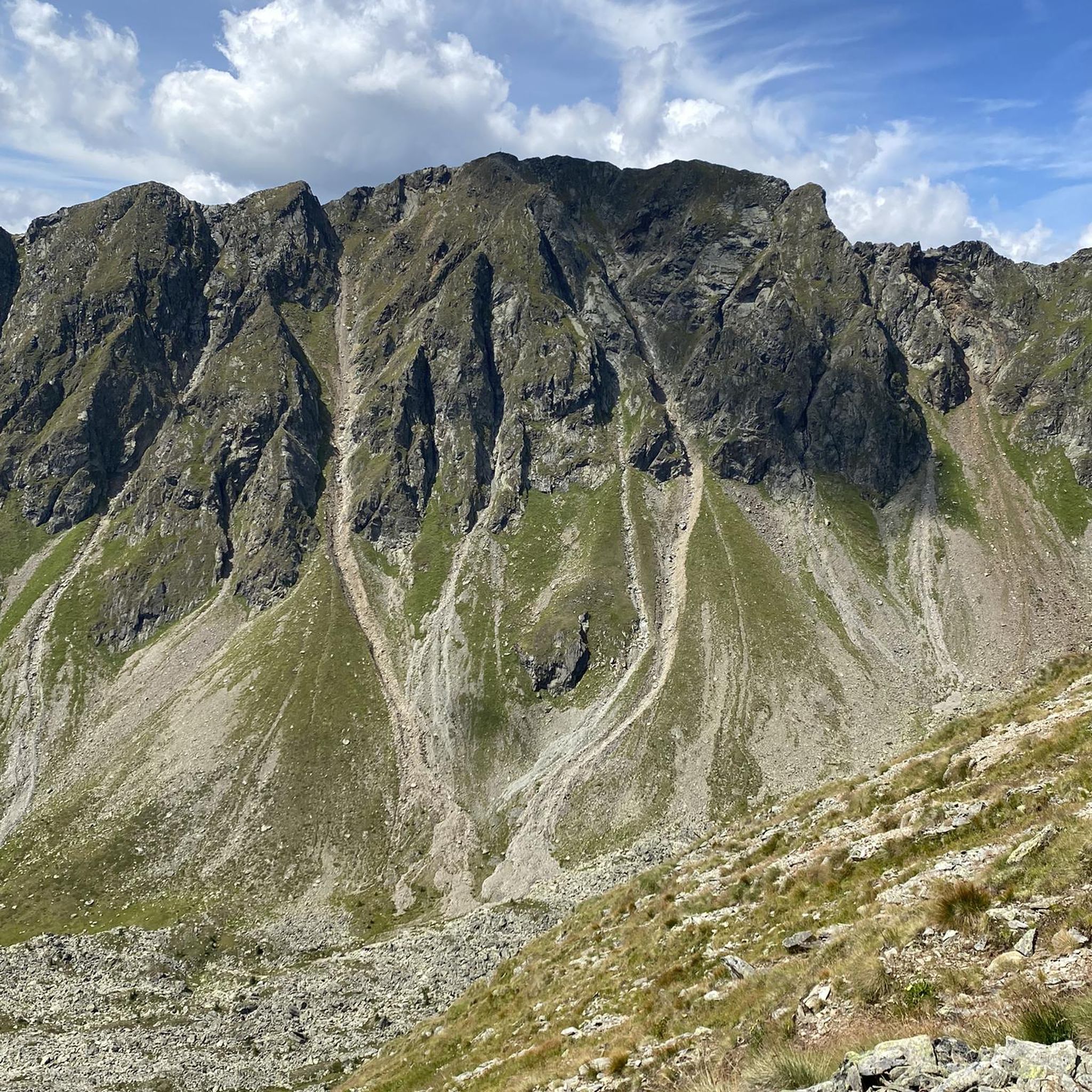
beautiful view from the sledding hill
0
0

Simply enjoy the scenery without just looking at the mudflats. Relax & Enjoy
0
0

Straight as a wire and deadly boring. A Roman ice cream parlor wouldn't be bad 😋.
1
0

Via Julia cycle path from Günzburg to Salzburg is about 312km long
0
0

But the air has to be quite dry, otherwise you won't see anything.
0
0

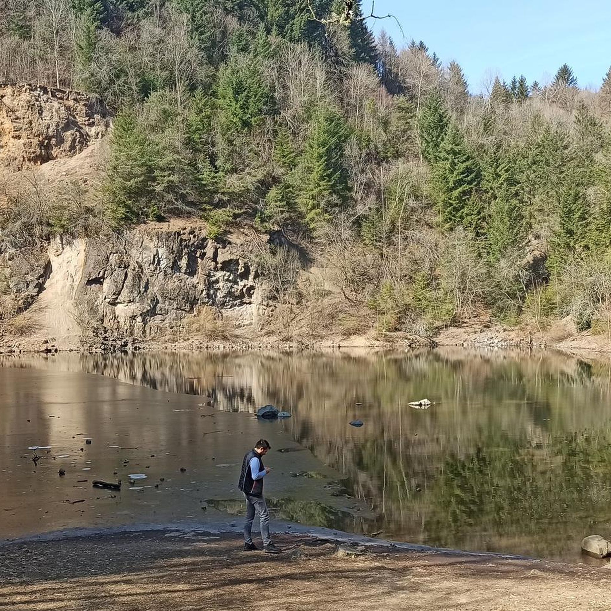
Beautiful walk along the Deininger Weiher pond, through the shady forest to the Jägerwirt - great food and back
0
0

A few hundred meters after the Icking weir, next to the left bank of the Isar canal, the Icking reservoir, also called the Eisweiher, begins.
1
0
Frequently Asked Questions
How many no-traffic gravel bike trails are available around Sauerlach?
There are over 130 no-traffic gravel bike trails around Sauerlach, offering a wide range of options for various skill levels. You'll find 18 easy routes, 68 moderate, and 47 more challenging tours, ensuring a suitable ride for everyone.
What is the best time of year to go gravel biking in Sauerlach?
The months from May to September are particularly recommended for experiencing the region's beauty. During this period, you'll find ideal conditions to enjoy the green forests, lush meadows, and rolling hills.
Are there any family-friendly no-traffic gravel routes in Sauerlach?
Yes, Sauerlach offers several easy, car-free routes suitable for families. For instance, the Aying village – View of Aying and the Alps loop from Brunnthal is an easy option, covering about 24 km with minimal elevation gain, perfect for a relaxed family outing.
Can I find routes that are suitable for advanced gravel bikers looking for a challenge?
Absolutely. For advanced riders, there are 47 difficult no-traffic gravel routes. The Fields Near Großdingharting – Ickinger Wehr loop from Sauerlach is a challenging option, spanning nearly 60 km with significant elevation changes, offering a demanding ride through varied terrain.
What kind of natural sights can I expect to see along the gravel trails?
The region around Sauerlach is rich in natural beauty. You can expect to see green forests, lush meadows, and rolling hills. Many routes follow the picturesque Isar River, known for its glacier-green waters. You might also encounter highlights like the Deininger Pond or the Mangfall Rapids at Grub.
Are there historical or cultural landmarks along the no-traffic gravel routes?
Yes, some routes offer glimpses of historical and cultural sites. While cycling, you might pass by impressive structures such as Grünwald Castle or Schwaneck Castle. The broader region also features charming Bavarian towns, offering cultural stops.
Are there any circular no-traffic gravel bike routes around Sauerlach?
Many of the no-traffic gravel routes around Sauerlach are designed as loops, allowing you to start and end at the same point. An example is the Thanninger Pond 2 – Deininger Moor loop from Deisenhofen, which offers a moderate 30 km ride through scenic landscapes.
What do other gravel bikers enjoy most about the trails in Sauerlach?
The no-traffic gravel trails around Sauerlach are highly rated by the komoot community, with an average score of 4.56 stars. Reviewers often praise the peaceful, remote roads through the rural south of Munich, the varied terrain, and the breathtaking scenery, especially along the Isar River and through the Gleißental Forest.
Are there amenities like cafes or restaurants near the no-traffic gravel trails?
While the focus is on remote, no-traffic trails, many routes pass close to or through charming Bavarian towns where you can find cafes, pubs, and restaurants. It's always a good idea to check the route details for specific refreshment stops, or plan your ride to pass through towns like Aying or Deisenhofen for amenities.
Can I access these no-traffic gravel trails using public transport?
Yes, several starting points for gravel trails around Sauerlach are accessible via public transport, particularly from Munich. This allows you to reach the region without a car and immediately begin your car-free cycling adventure. Check local public transport schedules for connections to towns like Sauerlach or Deisenhofen.
Are there specific routes that offer particularly scenic views?
Many routes in the Sauerlach area boast stunning scenic views, especially those that follow the Isar River or venture into the Bavarian foothills of the Alps. The Deininger Moor – Deininger Pond loop from Deisenhofen, for example, offers picturesque views of the moorland and pond, characteristic of the region's diverse ecosystems.
Most popular routes around Sauerlach
Most popular attractions around Sauerlach

Get inspired with the komoot mobile app


Explore more
Browse the best Gravel rides in other regions.
