The best hikes from bus stations around Großenhain
4.6
(3525)
11,938
hikers
87
hikes
Bus station hiking trails around Großenhain offer access to a landscape characterized by river floodplains, diverse parklands, and varied biotopes. The region features the expansive meadows of the Röder River, numerous green spaces like the City Park and Kupferberg Forest Park, and the unique ecosystems of Kleinraschützer Heide. While generally flat, the area provides accessible paths through woodlands and open fields, suitable for various activity levels.
Best bus station hiking trails around Großenhain
- The most popular bus station hiking route…
Last updated: August 21, 2026
4.6
(53)
137
hikers
16.9km
04:18
40m
50m
Moderate hike. Good fitness required. Easily-accessible paths. Suitable for all skill levels.
4.7
(22)
68
hikers
Moderate hike. Good fitness required. Easily-accessible paths. Suitable for all skill levels.

Sign up for free
5.0
(10)
54
hikers
Easy hike. Great for any fitness level. Easily-accessible paths. Suitable for all skill levels.
5.0
(5)
12
hikers
Easy hike. Great for any fitness level. Easily-accessible paths. Suitable for all skill levels.
4.5
(2)
38
hikers
Easy hike. Great for any fitness level. Easily-accessible paths. Suitable for all skill levels.
Get access to more routes and recommendations from other explorers.
Sign up for free
Already have an account?
Our route recommendations are based on thousands of hikes, rides, and runs completed by other people on komoot.
Start today with a free account
Your next adventure awaits.
Login or Signup
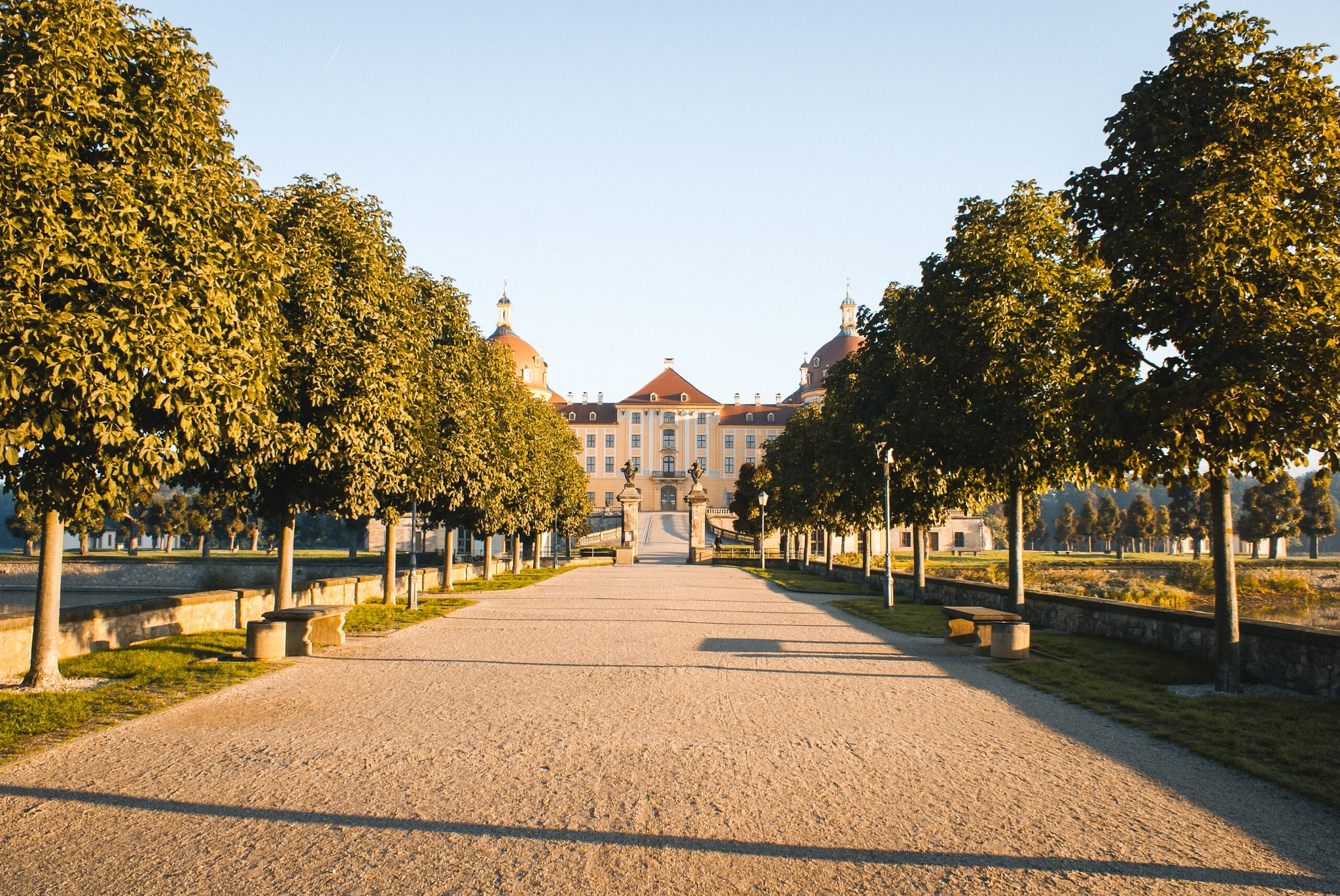
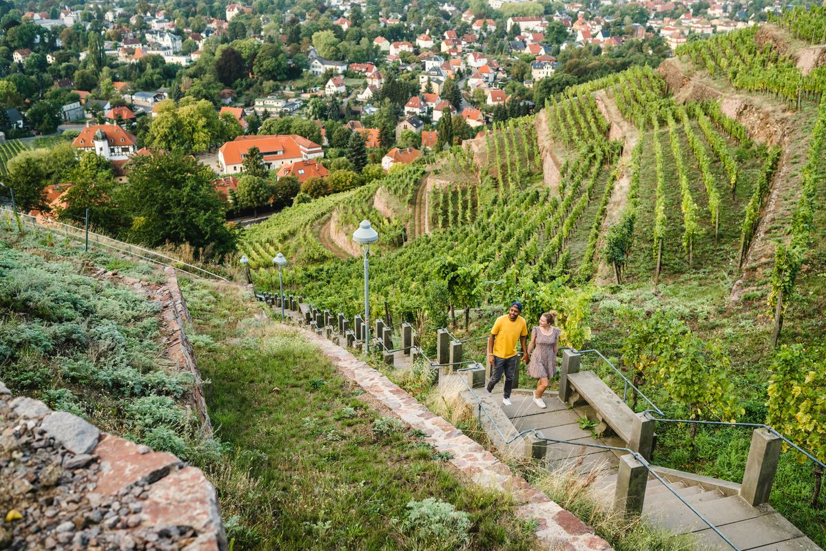
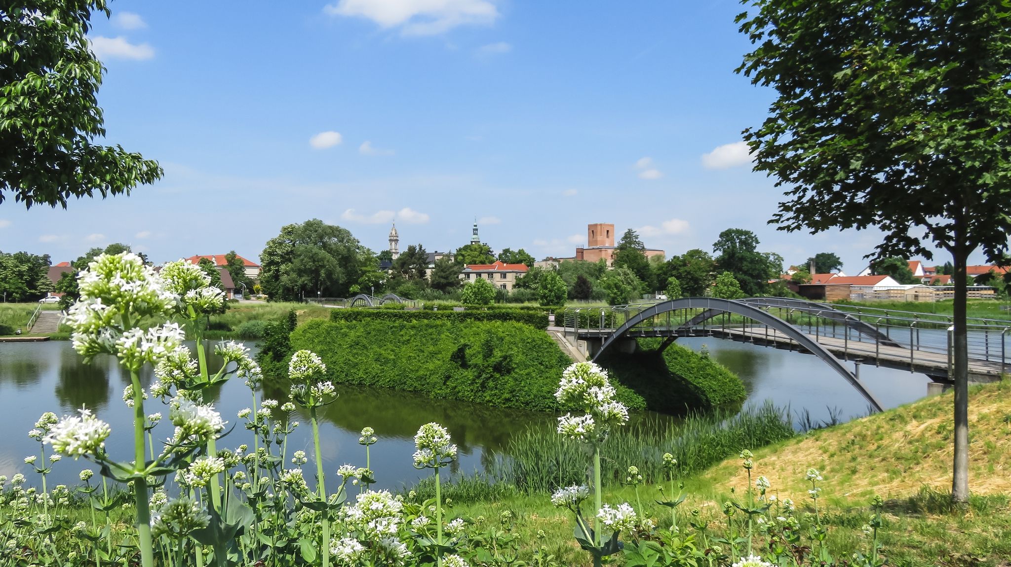
Other adventures around Großenhain

Tips from the Community

I can fully confirm the above-mentioned hints.
0
0

beautiful paths with flower beds and benches for resting and relaxing
2
0

It's always soothing to cycle or walk in the city park. There's always something new to discover. I enjoy looking at the flower beds in the circular park. Hopefully it stays that way.
1
1

The memorial commemorates the tornado of May 24, 2010, in Großenhain. The Whit Monday tornado is the unofficial name for a severe weather event that occurred on May 24, 2010, in Brandenburg and Saxony, in the region north of Dresden. However, it was not a single tornado, but a series of tornadoes accompanied by several downbursts (thunderstorm gusts). The path of the storm was approximately 80 to 100 km long, coming from the northwest. Due to the long path of damage, it was initially assumed to be a record; it was suspected to be the longest path of a single tornado in Germany to date. The event occurred between 3:00 p.m. and 4:20 p.m. Its intensity was F2, possibly F3, on the Fujita scale. Wind speeds thus reached up to 300 km/h. The event lasted only about 15 minutes locally. Damage was primarily caused in Großenhain and other towns in the Meißen and Elbe-Elster districts. One fatality and approximately 50 injuries were reported, as well as significant property damage. Approximately 3,000 buildings were damaged. The damage amounted to more than 100 million euros. Source: https://de.wikipedia.org/wiki/Tornado_am_Pfingstmontag
1
0

I love this place, great to stay
0
0
Unfortunately only open on special occasions such as Thanksgiving but also beautiful from the outside
0
0

In summer, the wide wooden bridge almost disappears into the dense green of the forest. The Neuteich lake is just a stone's throw away.
1
0
The Kleine Röder flows quietly and you cross it here on a bridge.
2
0
Frequently Asked Questions
How many bus station hiking trails are available in Großenhain?
There are over 80 hiking routes in Großenhain that are accessible via bus stations. These trails cater to various fitness levels, with more than 50 easy routes, nearly 30 moderate options, and a few more challenging paths for experienced hikers.
Are there easy, family-friendly hikes accessible by bus in Großenhain?
Yes, Großenhain offers many easy and family-friendly hikes starting from bus stations. A great option is the Kupferberg Lookout Tower – Playground on Kupferberg loop from Großenhain, which is an easy 6.6 km route. The Wilhelminen Bridge – Großenhain City Park Pond loop from Großenhain is another accessible easy walk, perfect for a leisurely stroll.
What kind of natural landscapes can I expect to see on bus-accessible hikes around Großenhain?
Hiking trails around Großenhain, accessible by bus, showcase diverse landscapes. You can explore the green floodplains of the Röder River, extensive meadows, and various parks like the historic City Park. Areas like the Kleinraschützer Heide offer varied biotopes including dry grasslands and swamp meadows, while the Kupferberg Forest Park provides pleasant woodland walks.
Are there any circular hiking routes starting from bus stations in Großenhain?
Yes, several circular routes are available. For example, the Old Zabeltitz Palace – Zabeltitz Baroque Garden loop from Wildenhain is a moderate 12.1 km circular hike. Another shorter, easy option is the Zabeltitz Baroque Garden – Old Zabeltitz Palace loop from Zabeltitz.
What do other hikers enjoy most about the bus-accessible trails in Großenhain?
The komoot community highly rates the hiking experiences around Großenhain, with an average score of 4.6 out of 5 stars from over 3,200 ratings. Hikers often praise the well-maintained paths, the tranquil green spaces, and the accessibility of many routes directly from public transport stops, making it easy to explore the region's natural beauty.
Can I find viewpoints or lookout towers along bus-accessible hiking trails in Großenhain?
Yes, you can. The Kupferberg Lookout Tower loop is an easy hike that leads to the Kupferberg Lookout Tower. Further afield, the Heidebergturm (Heideberg Tower) in the Grödener Berge offers excellent panoramic views and is accessible via bus connections to Zabeltitz.
Are there any historical or cultural attractions along the bus station hiking routes?
Absolutely. Many routes integrate cultural highlights. The Old Zabeltitz Palace – Zabeltitz Baroque Garden loop takes you past the historic Zabeltitz Baroque Garden. The Via Regia Pilgrimage Route also passes through Großenhain, featuring St. Mary's Church, a significant example of late Baroque Saxon church art.
What are some notable natural monuments or features to explore near Großenhain's bus-accessible trails?
Beyond the parks, you can explore the Zschornaer Ponds Nature Reserve, known for its diverse wildlife. The Kutschenberg, the highest point in Brandenburg, is also within reach, offering a unique natural landmark to visit.
Are there any castles or palaces that can be visited while hiking from a bus station?
Yes, the region is rich in historical architecture. The Old Zabeltitz Palace – Zabeltitz Baroque Garden loop provides access to the historic Zabeltitz Palace. Other nearby castles include Seußlitz Baroque Palace and Oberau moated castle, which can be incorporated into longer excursions.
When is the best time of year to go hiking from bus stations in Großenhain?
Großenhain offers pleasant hiking opportunities throughout much of the year. Spring and autumn are particularly beautiful, with mild temperatures and vibrant colors in the parks and forests. Summer is also suitable, especially for walks along the Röder River floodplains. Even in winter, many easy paths remain accessible for a refreshing walk, particularly in the well-maintained city parks.
Are there any longer, moderate hikes accessible by bus for more experienced hikers?
For those seeking a longer, moderate challenge, the Auwaldtour – hiking favourites in Dresden Elbland is a great option. This route covers nearly 17 km and offers a rewarding experience through diverse landscapes, easily reachable by public transport connections.
Most popular routes around Großenhain
Most popular attractions around Großenhain

Get inspired with the komoot mobile app


Explore more
Browse the best Hikes in other regions.
