The best hikes from bus stations around Nordenham
4.4
(218)
1,409
hikers
123
hikes
Bus station hiking trails around Nordenham offer access to diverse landscapes shaped by the Weser River and the North Sea coast. The region features extensive dike paths, providing views of the river and surrounding areas. Inland, hikers can explore picturesque moors and agricultural lands. This flat terrain makes Nordenham suitable for accessible hiking experiences.
Best bus station hiking trails around Nordenham
- The most popular bus station hiking route is View of Bremerhaven – St. Hippolyt Church Blexen loop from St.-Hippolyt-Kirche…
Last updated: July 11, 2026
4.6
(19)
96
hikers
Easy hike. Great for any fitness level. Easily-accessible paths. Suitable for all skill levels.
4.7
(15)
85
hikers
3.71km
00:56
0m
0m
Easy hike. Great for any fitness level. Easily-accessible paths. Suitable for all skill levels.

Sign up for free
4.5
(18)
80
hikers
Easy hike. Great for any fitness level. Easily-accessible paths. Suitable for all skill levels.
4.7
(9)
32
hikers
7.42km
01:52
10m
10m
Easy hike. Great for any fitness level. Easily-accessible paths. Suitable for all skill levels.
4.9
(7)
41
hikers
Moderate hike. Good fitness required. Easily-accessible paths. Suitable for all skill levels.
Get access to more routes and recommendations from other explorers.
Sign up for free
Already have an account?
Our route recommendations are based on thousands of hikes, rides, and runs completed by other people on komoot.
Start today with a free account
Your next adventure awaits.
Login or Signup
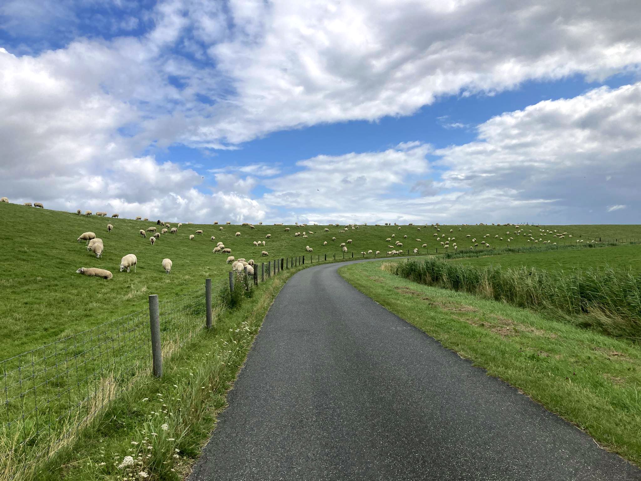

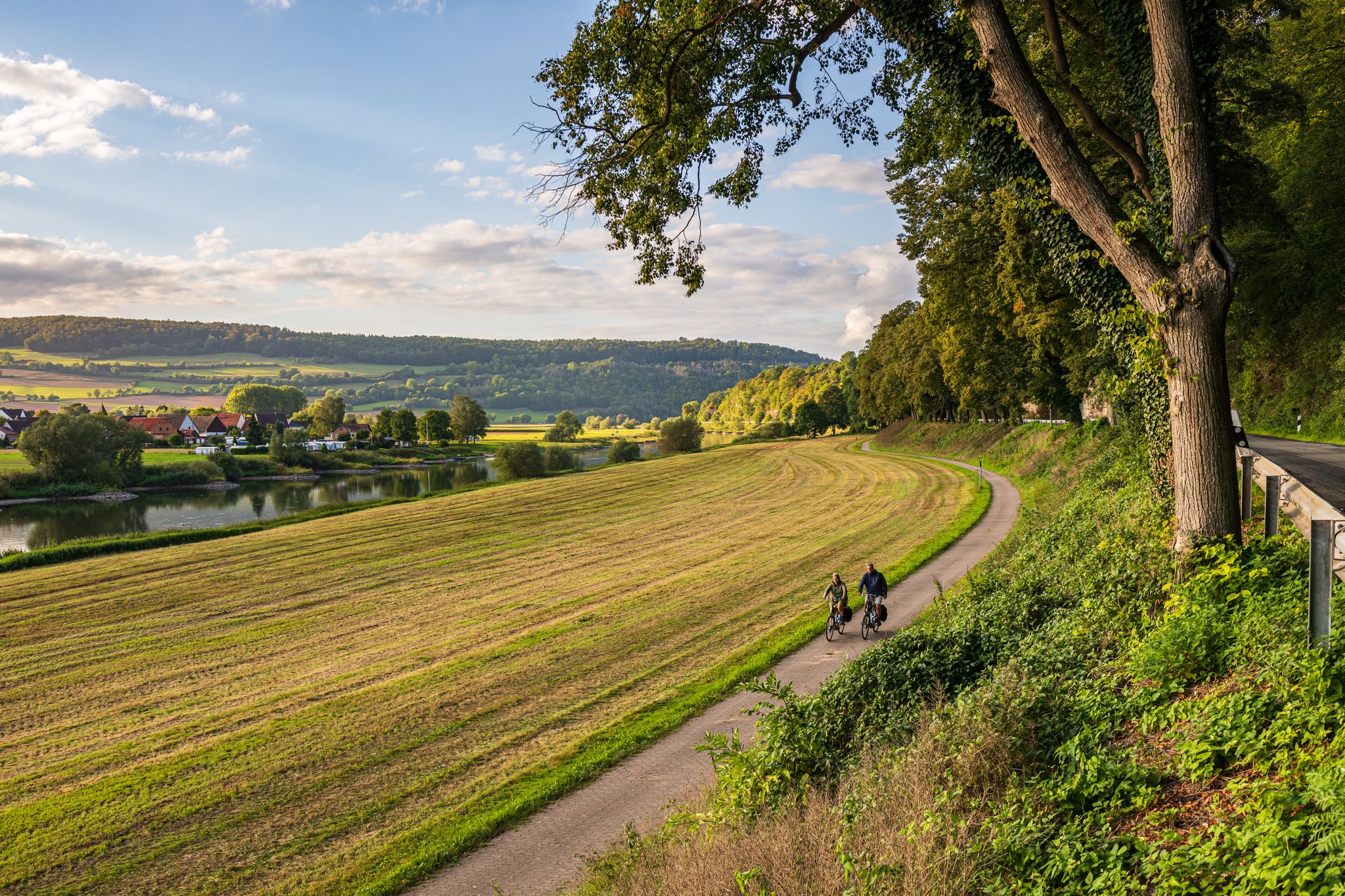
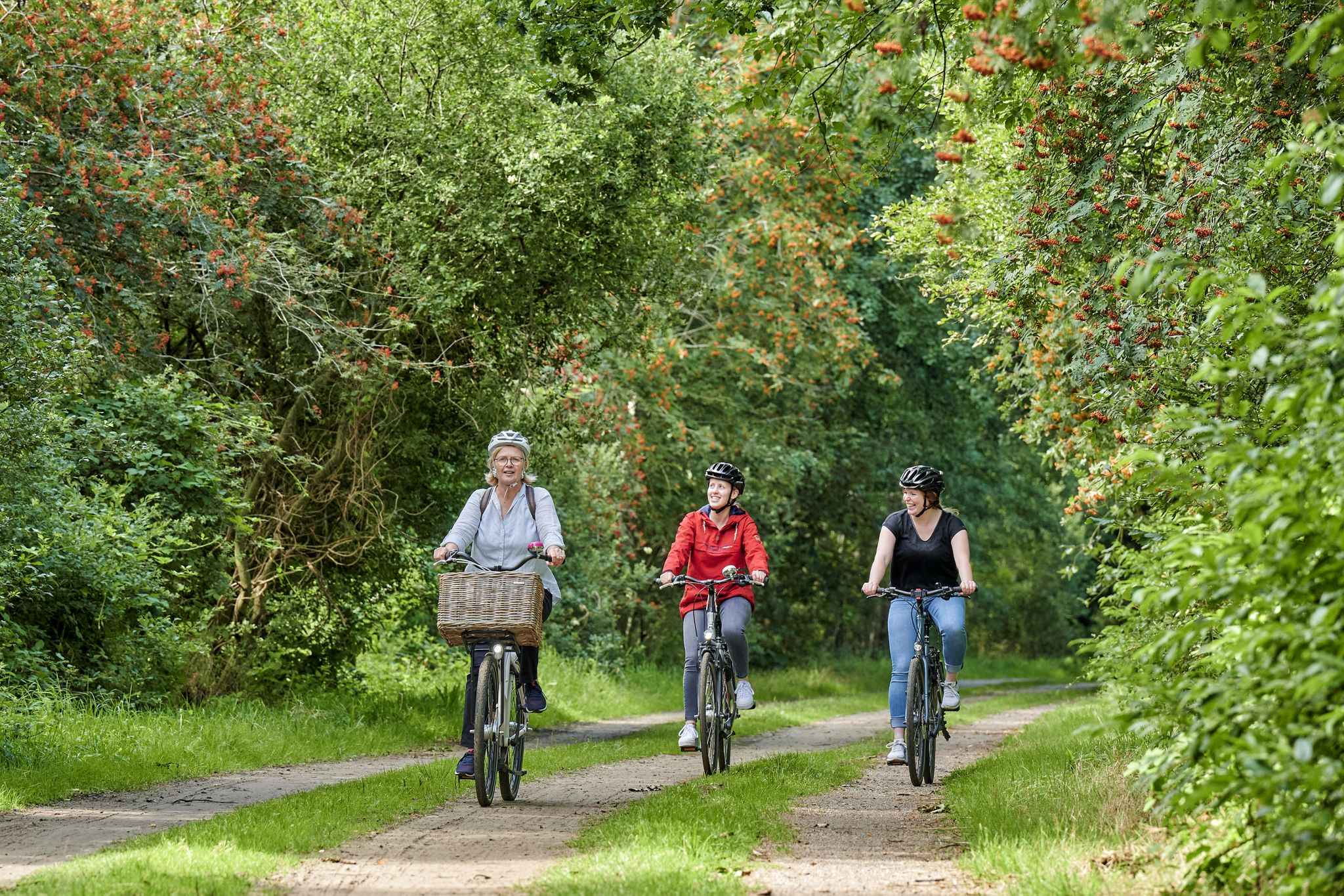
Other adventures around Nordenham


Tips from the Community

📸🎨Enjoy spectacular panoramic views of Bremerhaven and its maritime surroundings for just €4 by elevator 👍🏻. The Atlantik Hotel also has a stamping point for the North Sea Passport ♟️ 💙.
0
0
📸🎨Enjoy spectacular panoramic views of Bremerhaven and its maritime surroundings for just €4 by elevator 👍🏻. The Atlantik Hotel also has a stamping point for the North Sea passport ♟️ 💙.
2
0

It offers a fantastic panoramic view, so it's worth the €4. If it's windy, take off your hats. Open from 9 a.m. to 9 p.m.
1
0

For €4, take the elevator to the 20th floor. Tickets are not available at reception, but at the vending machine at the side entrance, right next to the elevator.
2
0

Nice place for a short break with seating
0
0

Wonderfully interesting in the UBooot, friendly staff with a lot of background knowledge and helpful.
1
0

Wonderful view at a height of approx. 86m.
1
0

Often drove past it 😊
3
0
Frequently Asked Questions
How many bus station hiking trails are available around Nordenham?
There are over 110 bus station hiking trails around Nordenham, offering a wide variety of options for all skill levels. Most of these routes are easily accessible by public transport.
What kind of landscapes can I expect on bus-accessible hikes in Nordenham?
Hikes around Nordenham accessible by bus stations offer a diverse range of landscapes. You can explore paths along the Weser River and its dikes, picturesque moorlands, and areas with coastal proximity to the North Sea. Many routes provide views of the river and lead towards the Blexen-Bremerhaven ferry.
Are there easy bus station hikes suitable for beginners or families?
Yes, Nordenham offers many easy bus-accessible hikes. Out of 114 available routes, 75 are rated as easy. An example is the View of Bremerhaven – St. Hippolyt Church Blexen loop from St.-Hippolyt-Kirche, which is just under 6 km long and features minimal elevation gain, making it ideal for a relaxed outing.
Can I find circular hiking routes that start and end at a bus station?
Many of the bus-accessible routes in Nordenham are circular, allowing you to start and finish your hike conveniently at the same bus stop. For instance, the Großensiel Lower Lighthouse – Dockworker Statue Nordenham loop from Ellwürden is an easy 7.1 km circular trail.
What interesting landmarks or attractions can I see along these bus station trails?
Several bus-accessible trails pass by interesting landmarks. You might encounter parts of the "Sculpture Trail Art on the Dike" along the Weser. Other notable attractions include the charming Fedderwardersiel Fishing Harbour, the Blexen Ferry Terminal, or the View of Bremerhaven’s skyline from Luneplate. Some routes also offer viewing platforms on the dikes for scenic breaks.
Are there any moderate or challenging bus station hikes for more experienced hikers?
While most bus-accessible routes are easy, there are 38 moderate trails and 1 difficult trail for those seeking more of a challenge. A moderate option is the Columbusstraße Harbor – Bremerhaven Dike Promenade loop from Fähre, which covers over 11 km and offers varied scenery.
What do other hikers say about the bus station trails in Nordenham?
The komoot community highly rates the hiking experience in Nordenham, with an average score of 4.33 out of 5 stars from 190 ratings. Hikers often praise the diverse landscapes, the accessibility of trails from bus stations, and the unique views along the Weser River and dikes.
Are there bus station hikes that offer views of the North Sea or coastal features?
Yes, due to Nordenham's coastal proximity, some bus-accessible routes offer views towards the North Sea. The dike paths, especially those leading towards the Blexen-Bremerhaven ferry, provide expansive vistas. The region also features attractions like the North Sea lagoon near Burhave, which can be incorporated into longer walks.
Can I combine a bus station hike with a ferry trip?
Absolutely! The Bremerhaven–Blexen ferry crossing is a key feature in the area. You can plan a hike that ends at the Blexen Ferry Terminal and take the ferry across, potentially continuing your adventure on the other side or returning to Nordenham.
Are there any bus-accessible trails that follow historical paths?
Yes, the region is home to sections of the European Coastal Long-Distance Path E9, known as the Butjadinger Weg, which runs through Nordenham. Parts of this route follow old narrow-gauge railway tracks, now transformed into scenic avenues, offering a glimpse into the area's history.
What is the typical duration for bus station hikes in Nordenham?
The duration of bus station hikes in Nordenham varies depending on the route's distance and your pace. Many easy trails, like the Dat Ole Huus – Historic Brick Church loop from Nordenham (7.4 km), can be completed in around 1.5 to 2 hours, while longer moderate routes might take 3 hours or more.
Most popular routes around Nordenham
Most popular attractions around Nordenham

Get inspired with the komoot mobile app


Explore more
Browse the best Hikes in other regions.
