The best traffic-free bike rides around Volkesfeld
4.5
(231)
4,392
riders
9
rides
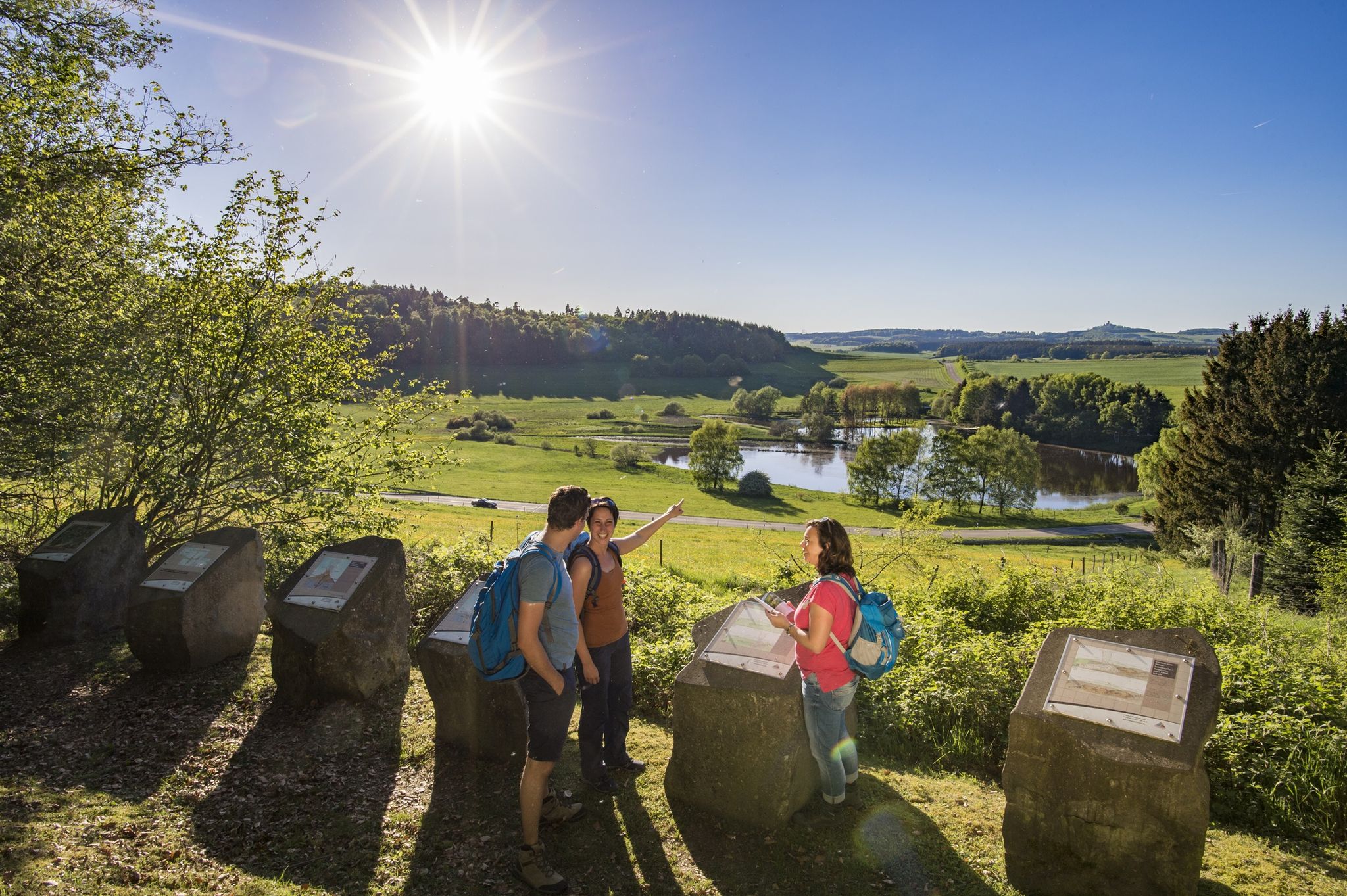
No traffic road cycling routes around Volkesfeld traverse a unique volcanic landscape in the Mayen-Koblenz region. The terrain features gentle hills, dense forests, and impressive rock formations, shaped by the Eifel's volcanic past. Cyclists can explore routes that pass by natural monuments like the Laacher See, an extinct volcano with a clear lake, and enjoy varied scenery across meadows and streams.
Best no traffic road cycling routes around Volkesfeld
- The most popular no traffic road cycling route is Hansen Tunnel…
Last updated: July 11, 2026
4.4
(34)
251
riders
39.8km
01:49
430m
430m
Moderate road ride. Good fitness required. Some segments of this route may be unpaved and difficult to ride.
4.7
(3)
47
riders
29.2km
01:26
350m
350m
Moderate road ride. Good fitness required. Mostly well-paved surfaces and easy to ride.

Sign up for free
24
riders
20.2km
00:55
120m
120m
Moderate road ride. Great for any fitness level. Some segments of this route may be unpaved and difficult to ride.
16
riders
45.0km
02:18
550m
550m
Hard road ride. Good fitness required. You may need to push your bike for some segments of this route.
3.7
(3)
22
riders
31.4km
01:27
340m
340m
Moderate road ride. Good fitness required. Mostly well-paved surfaces and easy to ride.
Get access to more routes and recommendations from other explorers.
Sign up for free
Already have an account?
Our route recommendations are based on thousands of hikes, rides, and runs completed by other people on komoot.
Start today with a free account
Your next adventure awaits.
Login or Signup
Other adventures around Volkesfeld

Tips from the Community

most lovely
1
0

There's always a cool breeze blowing here. But the tunnel is illuminated with LED lights all day long👍
1
0

The northern gate of the city fortifications, which still exists today, is the gatehouse located on the Nette river, built between 1299 and 1354. It secured the crossing of the Nette and primarily served as the city entrance from the direction of Koblenz, which is why it also bears the name "Koblenzer Tor" (Koblenz Gate). Since there are no signs of a slot in the wall for a portcullis, it is assumed that a drawbridge to the bridge pier on the Nette was used to secure the gate. Due to the flood in 1598, the gatehouse collapsed along with the outer gate. However, the chiseled number 1599 testifies that the gatehouse was rebuilt just one year later. From the beginning of the 19th century until 1855, the gatehouse was used as a prison. The city coat of arms, added in 1911, is still visible today. Source: Jonas Breithaupt, University of Koblenz-Landau, 2015
4
0

There are a variety of birds to observe at the lake
3
0

Very beautiful pond landscape in the Thürer meadows.
1
0
The signal box for Mayen-Ost station is located here.
4
0
Nice barbecue area with picnic benches and toilet facilities.
11
0
The Streckenhäuschen restaurant in Mertloch is highly recommended. In summer, you can sit on the terrace and enjoy views of the bike path, playground, and barbecue area.
12
0
Frequently Asked Questions
How many no-traffic road cycling routes are available around Volkesfeld?
There are 11 dedicated no-traffic road cycling routes around Volkesfeld, offering a variety of distances and difficulty levels for a peaceful ride.
What is the best time of year for no-traffic road cycling in Volkesfeld?
The months of May and September are particularly popular for cycling in the Volkesfeld region. The Eifel's diverse terrain is beautiful during these times, offering pleasant temperatures for exploring the volcanic landscapes and dense forests.
Are there any easy no-traffic road cycling routes suitable for beginners or families?
Yes, there are 2 easy no-traffic road cycling routes around Volkesfeld. These routes are ideal for those looking for a relaxed ride without significant climbs, perfect for beginners or families. One such route is the Pond in Thürer Wiesen – View of Kruft and Korretsberg loop from Kottenheim, which is just over 20 km long.
What kind of landscapes can I expect to see on these routes?
The no-traffic road cycling routes around Volkesfeld traverse the unique volcanic landscapes of the Eifel region. You'll encounter gentle hills, dense forests, and impressive rock formations. The area is known for its varied terrain, including meadows, streams, and heathlands, providing a picturesque backdrop for your ride.
Are there any notable landmarks or attractions along the no-traffic routes?
While the routes themselves focus on traffic-free paths, the region is rich in attractions. You can explore the Laacher Lake, an extinct volcano with crystal-clear water, or visit the Genoveva Cave. The historic Monreal Old Town with its half-timbered houses is also nearby.
What do other cyclists say about the no-traffic road cycling routes in Volkesfeld?
The no-traffic road cycling routes around Volkesfeld are highly rated by the komoot community, with an average score of 4.5 stars from over 200 ratings. Reviewers often praise the peacefulness of the routes and the beautiful natural scenery of the Eifel.
Are there any longer or more challenging no-traffic road cycling routes?
Yes, for those seeking a greater challenge, there is one difficult no-traffic road cycling route available. Additionally, there are 8 moderate routes, such as the Hausen-1 Tunnel – Hansen Tunnel loop from Kottenheim, which covers over 46 km with significant elevation gain, offering a rewarding experience for experienced riders.
Are there any circular no-traffic road cycling routes?
Many of the no-traffic road cycling routes around Volkesfeld are designed as loops, allowing you to start and end your ride in the same location. Examples include the Hansen Tunnel – Hausen-1 Tunnel loop from Kottenheim and the Hansen Tunnel – Hausen-1 Tunnel loop from Bell, providing convenient options for exploration.
Are there any viewpoints or observation towers accessible from these routes?
While not directly on every no-traffic route, the region offers several stunning viewpoints. You can find the Kaiser Wilhelm Tower on the Hohe Acht, the highest elevation in the Eifel, offering panoramic views. Other notable spots include the Gänsehalsturm Observation Tower and the Panoramic view from Ettringer Bellerberg.
Is there a mineral spring or natural refreshment point along the way?
Yes, the Volkesfelder Heilquelle, also known as the "Sauerbrunnen," is a state-approved mineral spring near Volkesfeld. It offers a refreshing and healthy stop for visitors and cyclists exploring the area.
What is the typical distance for these no-traffic road cycling routes?
The no-traffic road cycling routes around Volkesfeld vary in length. You can find shorter options, like the Hausen-1 Tunnel – Hansen Tunnel loop from Mayen West at around 29 km, up to longer routes exceeding 40 km, such as the Hausen-1 Tunnel – Hansen Tunnel loop from Kottenheim, which is over 46 km.
Most popular attractions around Volkesfeld

Get inspired with the komoot mobile app


Explore more
Browse the best Road cycling routes in other regions.
