The best traffic-free bike rides around Siershahn
4.5
(73)
386
riders
77
rides
Gravel biking around Siershahn offers access to the diverse terrain of the Westerwald low mountain range. This region is characterized by a blend of forests, valleys, and basalt plateaus, providing varied surfaces for gravel riders. The landscape includes lush forests and serene valleys, such as the Lahn and Nistertal, alongside numerous lakes and ponds. Riders can expect a mix of forest paths, country roads, and challenging trails.
Best no traffic gravel bike trails around Siershahn
- The most popular no traffic…
Last updated: July 11, 2026
5.0
(1)
15
riders
40.9km
02:56
540m
540m
Hard gravel ride. Very good fitness required. Mostly paved surfaces. Suitable for all skill levels.
4.0
(2)
9
riders
21.5km
01:37
350m
350m
Moderate gravel ride. Good fitness required. Mostly paved surfaces. Suitable for all skill levels.

Sign up for free
5.0
(1)
10
riders
38.6km
03:00
560m
560m
Hard gravel ride. Very good fitness required. Mostly paved surfaces. Suitable for all skill levels.
4.0
(1)
6
riders
26.5km
01:55
380m
380m
Hard gravel ride. Good fitness required. You may need to push your bike for some segments of this route.
3.7
(3)
10
riders
47.2km
02:52
530m
530m
Hard gravel ride. Very good fitness required. Mostly paved surfaces. Suitable for all skill levels.
Get access to more routes and recommendations from other explorers.
Sign up for free
Already have an account?
Our route recommendations are based on thousands of hikes, rides, and runs completed by other people on komoot.
Start today with a free account
Your next adventure awaits.
Login or Signup
Popular around Siershahn
Tips from the Community


The Landshuber Weiher lake is very beautiful. However, the paths are designed more for hikers and not necessarily suitable for cyclists.
0
0

Thiel's Hut, just before the Alarmstange. A great rest stop with a beautiful view.
0
0

Landshuber Weiher with water lilies
0
0


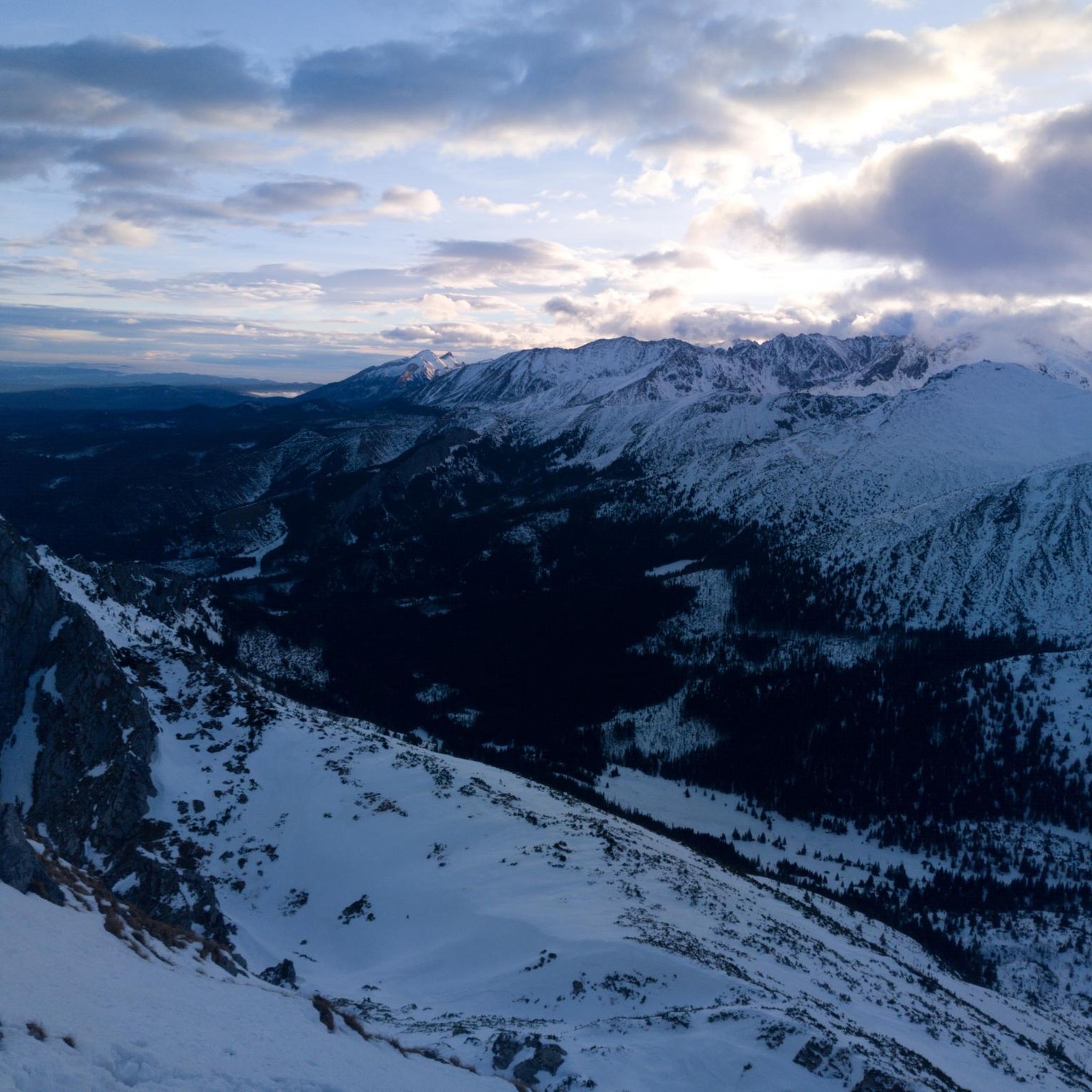
The 422-meter-high, wooded Malberg is clearly visible from here. There used to be a protective castle on its summit. Today, only a few stones remain. You can find out more about this on an information board at the former site of the castle.
2
0

All paths between the ponds have been freshly cleared. 9.8.24
0
0
Frequently Asked Questions
How many no-traffic gravel bike trails are available around Siershahn?
There are over 70 dedicated no-traffic gravel bike trails around Siershahn. These routes vary in difficulty, with options ranging from moderate to difficult, ensuring a suitable ride for most skill levels.
What kind of terrain can I expect on gravel bike trails in the Siershahn area?
The Siershahn area, nestled in the Westerwald low mountain range, offers diverse terrain. You'll encounter a mix of forest paths, country roads, and some challenging trails. The region is characterized by lush forests, varied valleys, and basalt plateaus, providing both scenic beauty and varied riding surfaces. Some routes may include sections requiring very good fitness or even short pushes.
Are there any family-friendly no-traffic gravel routes near Siershahn?
While many routes in the Siershahn area are rated moderate to difficult, focusing on more experienced riders, there are some easier options available. For a less strenuous experience, look for routes with lower elevation gain and shorter distances. Always check the route details for specific difficulty ratings and terrain descriptions to ensure it's suitable for your family.
Can I find circular gravel bike routes around Siershahn?
Yes, many of the gravel bike trails around Siershahn are designed as circular routes, allowing you to start and end at the same point. An example is the challenging Flürchen – Landshuberweiher loop from Siershahn, which covers nearly 40 km with significant elevation changes.
What natural features or viewpoints can I expect to see on these trails?
The Westerwald region is rich in natural beauty. You can expect to see lush forests, serene valleys like the Brexbach Valley, and potentially basalt plateaus offering panoramic views. Highlights include the View over the Brexbach Valley from Teufelsberg and the scenic Brexbach Valley itself. Some routes also pass by the Brexbachtal Railway Tunnel and Stream.
Are there any historical landmarks or attractions along the no-traffic gravel routes?
While the routes focus on natural landscapes, the broader Westerwald region is known for its historical sites. You might encounter castle ruins or traditional villages. For example, the View of Malberg – Gelbach Falls loop from Dernbach/Ww offers views towards Malberg, hinting at the region's historical depth. The area also features the traditional ceramics industry of the "Kannenbäckerland".
What is the best time of year for gravel biking in Siershahn?
The Westerwald region is generally pleasant for gravel biking from spring through autumn. Spring brings blooming landscapes, while autumn offers vibrant foliage. Summer is also suitable, but it's always wise to check local weather forecasts, especially for potential heat or rain. Winter riding is possible but may involve colder temperatures and potentially icy or muddy conditions on some trails.
Are there any challenging gravel bike routes for experienced riders?
Absolutely. The Siershahn area offers numerous challenging routes for experienced gravel bikers. Many of the trails are rated 'difficult' and feature significant elevation gains and technical sections. For instance, the Köppel Observation Tower – Köppel Tower and Köppel Hut loop from Siershahn is a demanding ride covering over 38 km with more than 560 meters of ascent.
What do other gravel bikers enjoy most about the trails around Siershahn?
The komoot community highly rates the gravel biking experience around Siershahn, with an average score of 4.46 out of 5 stars. Reviewers often praise the quiet, traffic-free nature of the routes, the diverse landscapes of the Westerwald, and the satisfying challenge offered by the varied terrain and elevation changes.
Are there any moderate-difficulty gravel routes for those looking for a balanced challenge?
Yes, there are several moderate-difficulty routes that offer a good balance of challenge and enjoyment without being overly strenuous. The Köppel Observation Tower – Köppel Tower and Köppel Hut loop from Dernbach/Ww is a great example, providing a substantial ride of over 21 km with around 350 meters of elevation gain, perfect for a solid workout without extreme technical demands.
Can I bring my dog on these gravel bike trails?
Many natural trails in the Westerwald region are generally dog-friendly, especially if your dog is accustomed to running alongside a bike. However, it's always recommended to keep dogs on a leash, especially in forested areas or near wildlife. Check local regulations for specific nature reserves or protected areas you might pass through, as rules can vary.
Most popular attractions around Siershahn

Get inspired with the komoot mobile app


Explore more
Browse the best Gravel rides in other regions.
