The best hikes from bus stations around Kehl
4.4
(2671)
9,721
hikers
100
hikes
Bus station hiking trails around Kehl offer access to diverse landscapes shaped by the Rhine River and its floodplains. The region features extensive alluvial forests, old river branches, and a network of paths along the riverbanks. Kehl's location also provides proximity to the Black Forest, offering varied terrain from flat riverine routes to more undulating forest trails. The area is characterized by its blend of natural river ecosystems and accessible forest environments.
Best bus station hiking trails around Kehl
- The…
Last updated: June 27, 2026
4.7
(80)
348
hikers
22.6km
05:46
70m
70m
Hard hike. Very good fitness required. Easily-accessible paths. Suitable for all skill levels.
4.5
(48)
121
hikers
Moderate hike. Good fitness required. Easily-accessible paths. Suitable for all skill levels.

Sign up for free
4.7
(18)
69
hikers
Moderate hike. Good fitness required. Easily-accessible paths. Suitable for all skill levels.
4.3
(7)
25
hikers
Moderate hike. Good fitness required. Easily-accessible paths. Suitable for all skill levels.
4.7
(3)
42
hikers
4.93km
01:15
10m
10m
Easy hike. Great for any fitness level. Easily-accessible paths. Suitable for all skill levels.
Get access to more routes and recommendations from other explorers.
Sign up for free
Already have an account?
Our route recommendations are based on thousands of hikes, rides, and runs completed by other people on komoot.
Start today with a free account
Your next adventure awaits.
Login or Signup


Other adventures around Kehl


Tips from the Community

The Tulla boundary stone No. 79 at "Steinsporen" is a historical cultural monument in the Rhine floodplains between Kehl-Goldscheuer and Neuried-Altenheim. It dates from around 1820 and commemorates the Rhine straightening by Johann Gottfried Tulla. The stones were used for precise surveying and showed the Baden coat of arms as well as the French Bourbon lily. Stone No. 79 is located directly on the Auen-Wildnispfad trail near Steinspore-Brugg and is a popular destination for hikers and cyclists.
0
0
The Auen-Wildnispfad near Neuried-Altenheim is a natural, 2.5-kilometer circular trail through a protected floodplain biotop. The path is designed to be wild, which often requires visitors to climb over tree trunks – sturdy footwear is mandatory, and the trail is unsuitable for strollers or wheelchairs. Due to the obstacles, the tour takes about 2 to 3 hours. As the path is located in the high water retention area, it can be flooded; the status must be checked in advance by phone or on-site via a water level indicator. Free parking is available at the European Forum on the Rhine, where the access also starts.
0
0

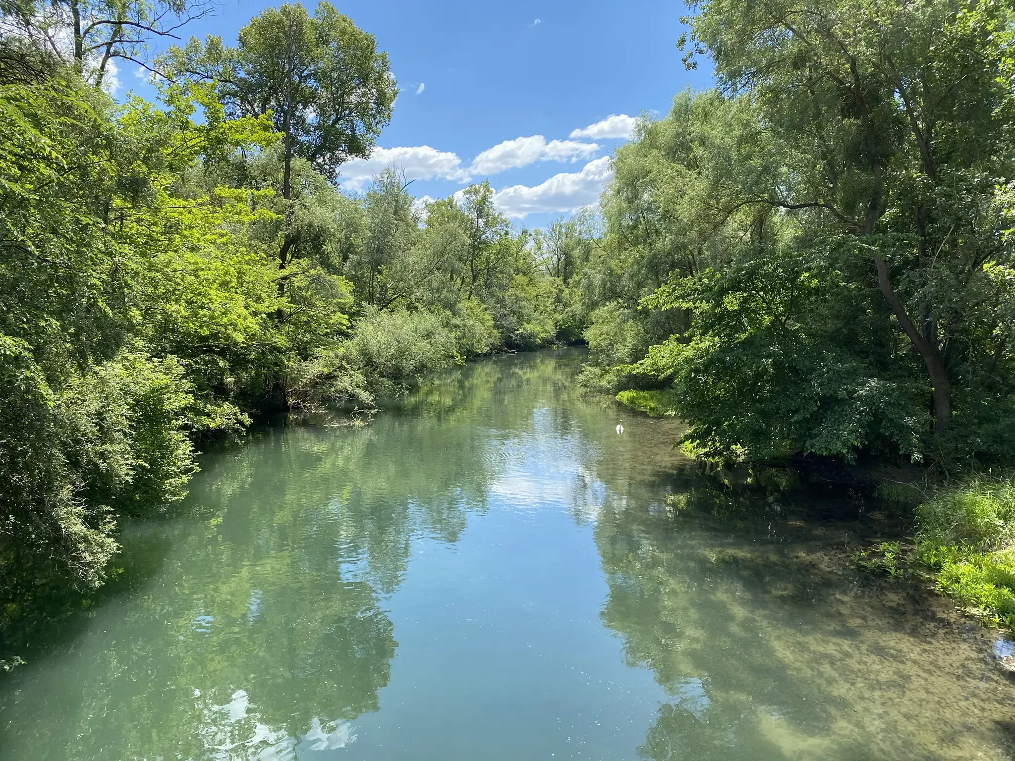
The Altrhein is a former part of the Rhine. It shows the course of the Rhine before the Rhine straightening by Tulla in the 19th century.
1
0
The Bündwörthsee is a former gravel pit lake near Auenheim, close to Kehl. It was formed by gravel extraction and is now used as a natural body of water for fishing and diving. Size: approx. 6.6 hectares Maximum depth: approx. 29 to 34 meters Usage: Fishing, swimming in designated areas, diving only with permission Special feature: The lake is known for its good water quality and underwater world. Parts of the shore are nature reserves. The Bündwörthsee is considered a quiet natural area and is particularly popular with divers and those seeking relaxation.
0
0
The Mittelgrund gravel pit lake is about 17 to 19 hectares in size and a maximum of approximately 15 meters deep. The lake was created by gravel extraction and is now used as a recreational and nature area.
0
0

The Cathedral can be photographed particularly well from Rue Merciere.
2
0

Very nice igloo on the floodplain wilderness trail!
2
0

Picturesque part of the old town with many pretty half-timbered houses right on the water and three small river islands.
6
0
Frequently Asked Questions
How many bus-accessible hiking trails are available around Kehl?
There are over 100 hiking routes around Kehl that are easily accessible by bus, offering a wide range of experiences for all skill levels. You'll find everything from leisurely strolls along the Rhine to more challenging treks.
Are there easy hiking trails accessible by bus from Kehl?
Yes, Kehl offers numerous easy hiking trails that are perfect for a relaxed outing and can be reached by bus. For example, the Kulturwehr Kehl – Wasserband Kehl loop from Kehl is an easy route that takes you along the river, ideal for a gentle walk.
Can I find circular hiking routes that start and end at bus stops in Kehl?
Absolutely. Many of the bus-accessible trails around Kehl are circular, allowing you to return to your starting point without needing to arrange additional transport. The Old river branch in Ortenaukreis – Baggersee Mittelgrund loop from Leutesheim is a great example of a moderate circular route through diverse riverine environments.
What kind of landscapes can I expect on bus-friendly hikes near Kehl?
Hikes accessible by bus from Kehl offer a rich variety of landscapes. You can explore the picturesque Rhine River banks and its unique floodplain forests, discover 'jungle-like' areas around old river branches, or enjoy the scenic views that hint at the nearby Black Forest. The Old Rhine near Goldscheuer – Altenheim Floodplain Wilderness Trail is an excellent way to experience the region's distinctive riverine ecosystems.
Are there any cross-border hiking opportunities from Kehl's bus stations?
Yes, Kehl's unique location directly across from Strasbourg, France, allows for exciting cross-border hikes. You can walk across the Passerelle des Deux Rives bridge and explore the French side. The Strasbourg Cathedral – La Petite France loop from Kehl is a challenging but rewarding route that takes you into the heart of Strasbourg, blending natural beauty with urban exploration.
What natural features or landmarks can I see along bus-accessible hiking trails?
Many bus-accessible trails in Kehl feature significant natural and cultural landmarks. You can explore the Orangerie Park in Strasbourg, discover the unique ecosystems around Gifiz Lake or Vältinschollensee, and even pass by historical sites like the Dundenheim Mill. The Garten der Zwei Ufer (Garden of Two Shores) is also a central point for many routes.
Are there family-friendly hiking trails reachable by bus from Kehl?
Kehl offers several family-friendly hiking options that are easily accessible by bus. These routes often feature gentle terrain and interesting sights to keep younger hikers engaged. Look for shorter, well-marked paths along the Rhine or through local parks.
Are dog-friendly hikes available from Kehl's bus stations?
Many of the trails around Kehl are dog-friendly, allowing you to enjoy the outdoors with your canine companion. It's always a good idea to keep dogs on a leash, especially in nature reserves or areas with wildlife, and to check local regulations for specific routes.
What is the best time of year for bus-accessible hikes in Kehl?
Kehl offers enjoyable hiking experiences throughout the year. Spring brings blooming flora along the riverbanks, while autumn showcases vibrant foliage in the floodplain forests. Summer is ideal for longer days, and even winter can offer serene, crisp walks, especially along the Rhine. The diverse landscapes ensure there's always something to see.
What do other hikers enjoy most about hiking in Kehl?
The hiking trails around Kehl are highly rated by the komoot community, with an average score of 4.4 stars. Reviewers often praise the region's diverse landscapes, the unique cross-border opportunities to Strasbourg, and the accessibility of many routes by public transport, making it easy to explore the beautiful Rhine and floodplain areas.
Are there any moderate or difficult bus-accessible hikes for experienced hikers?
Yes, while many routes are easy, Kehl also offers moderate and even difficult trails for those seeking more of a challenge. The Auen Wildnispfad Altenheim – Floodplain Wilderness Trail is a moderate route that provides a longer, more immersive experience in the floodplain wilderness. For a truly demanding trek, the Strasbourg Cathedral – La Petite France loop from Kehl offers a significant distance and elevation gain.
Most popular routes around Kehl
Most popular attractions around Kehl

Get inspired with the komoot mobile app


Explore more
Browse the best Hikes in other regions.
