The best hikes from bus stations around Glückstadt
4.6
(1175)
5,551
hikers
33
hikes
Bus station hiking trails around Glückstadt navigate the flat, expansive Elbe marshlands, a region defined by the Elbe River and its protective dykes. The terrain primarily consists of grasslands and fields, offering wide-open views. Elevation changes are minimal, characteristic of the marshland environment. The landscape is shaped by the Elbe's historical course and features prominent dyke systems, such as the Königsdeich.
Best bus station hiking trails around Glückstadt
- The most popular bus station hiking route is Glückstadt Salt Warehouse –…
Last updated: July 11, 2026
4.8
(18)
151
hikers
Easy hike. Great for any fitness level. Easily-accessible paths. Suitable for all skill levels.
4.7
(6)
14
hikers
Moderate hike. Good fitness required. Easily-accessible paths. Suitable for all skill levels.

Sign up for free
5.0
(1)
13
hikers
Easy hike. Great for any fitness level. Easily-accessible paths. Suitable for all skill levels.
5.0
(2)
6
hikers
9.60km
02:25
10m
10m
Moderate hike. Good fitness required. Easily-accessible paths. Suitable for all skill levels.
4.5
(4)
14
hikers
Easy hike. Great for any fitness level. Easily-accessible paths. Suitable for all skill levels.
Get access to more routes and recommendations from other explorers.
Sign up for free
Already have an account?
Our route recommendations are based on thousands of hikes, rides, and runs completed by other people on komoot.
Start today with a free account
Your next adventure awaits.
Login or Signup
Popular around Glückstadt
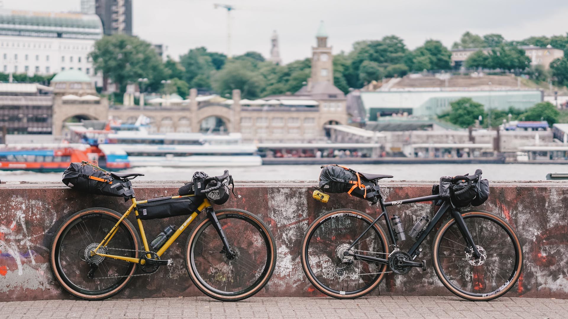
North Sea Deluxe — bikepacking with Radelmädchen
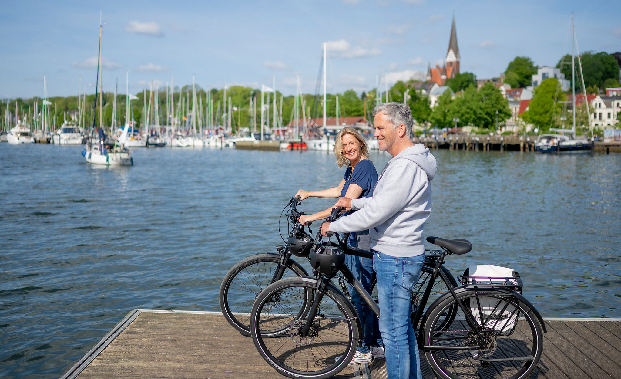
Erlebniskilometer in Schleswig-Holstein – Natur & Geschichte

Gravel around Glückstadt – the right ride for every mood
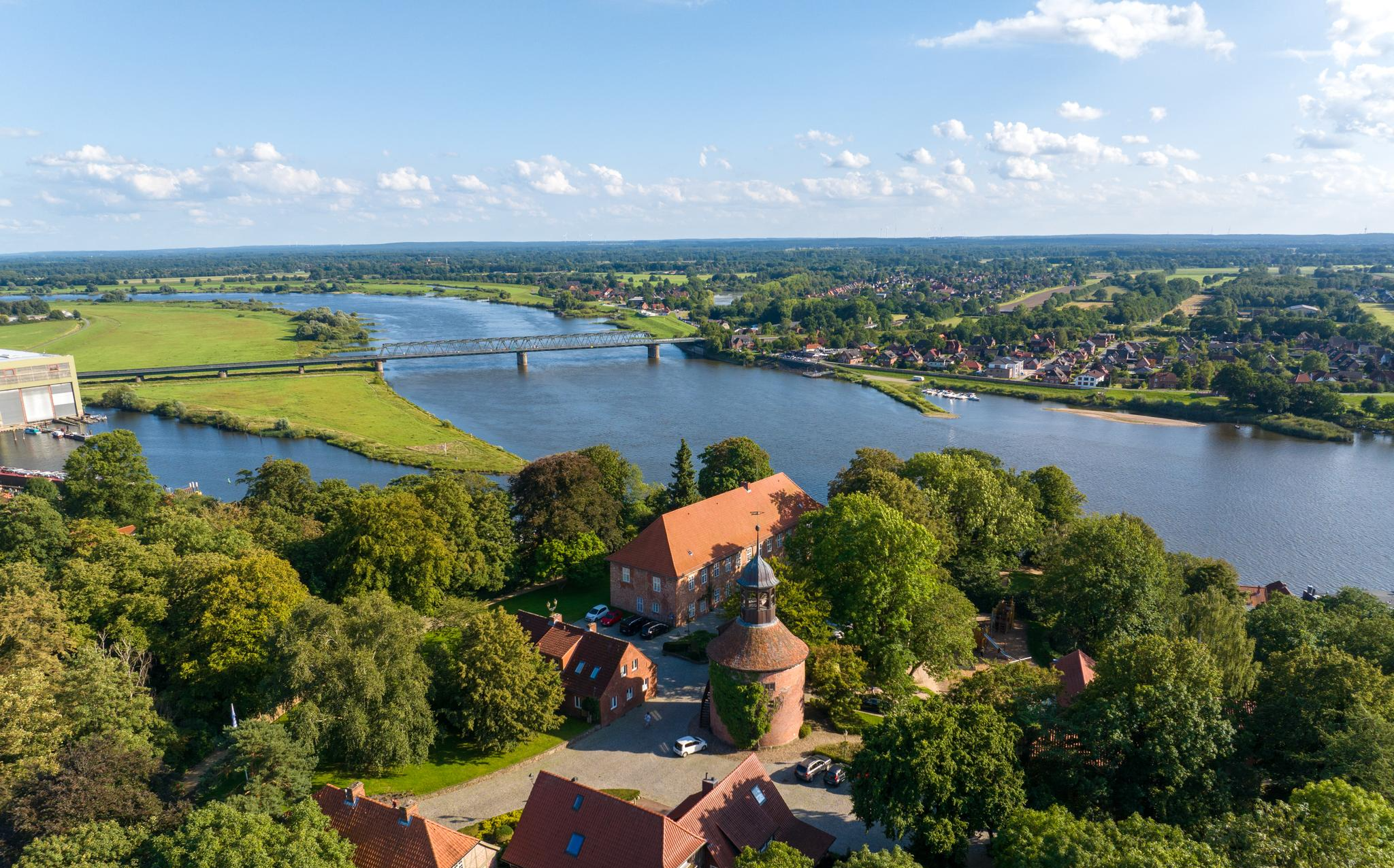
Beaches, marsh and wild banks – Elbe Cycle Route in Schleswig-Holstein
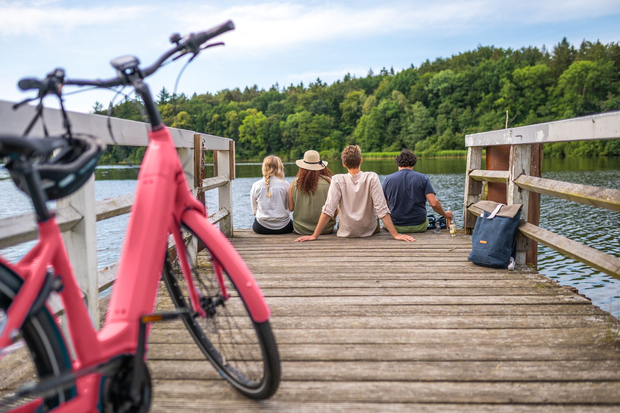
2,919 kilometres of adventure – cycling trails in Schleswig-Holstein
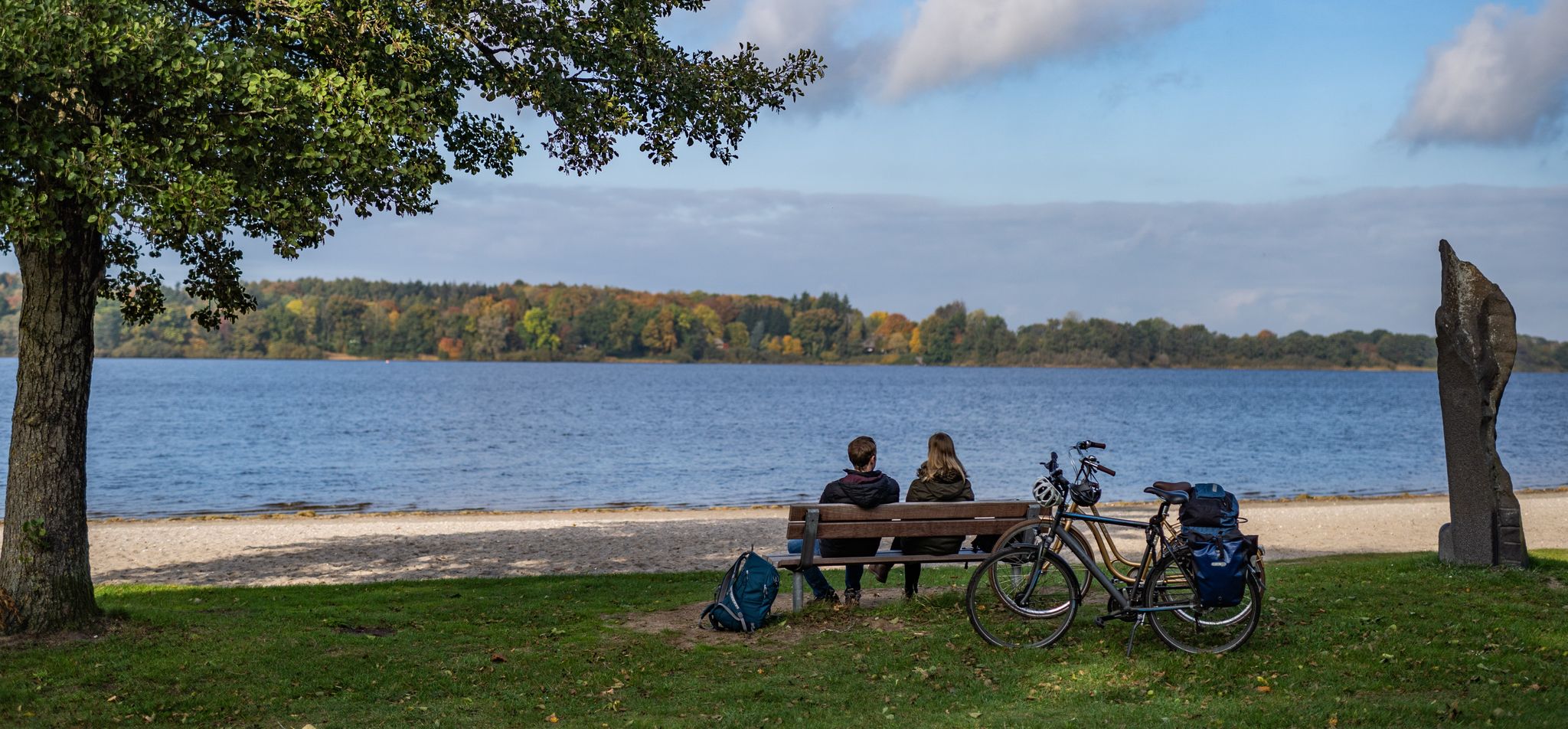
Rides in southern Binnenland — Germany’s Schleswig-Holstein
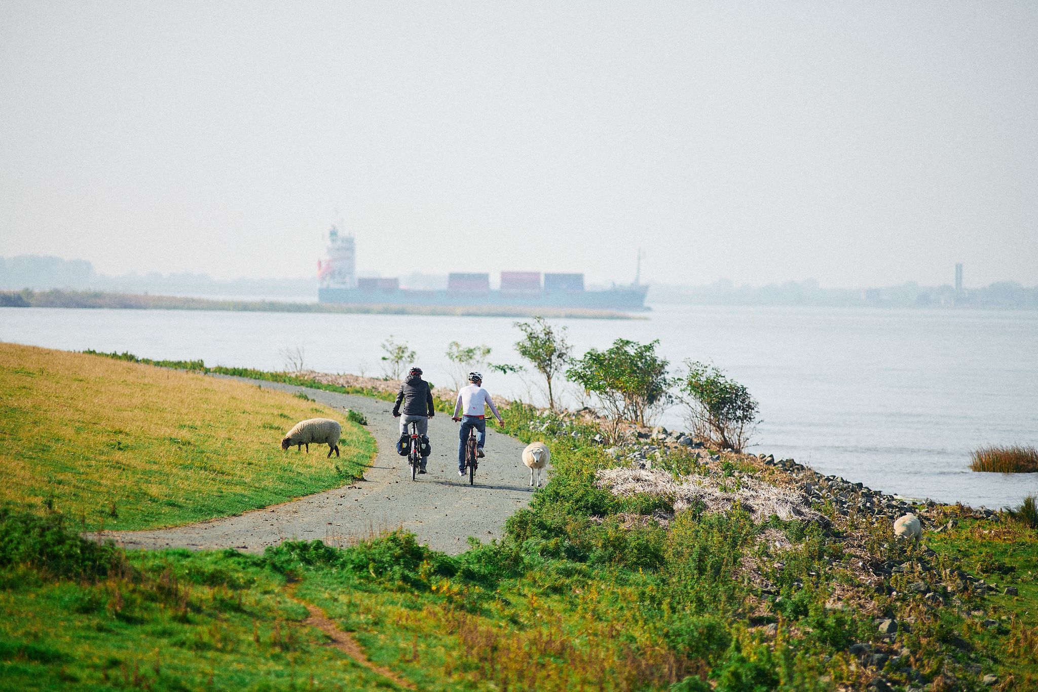
On the Happiness Routes – cycling around Glückstadt
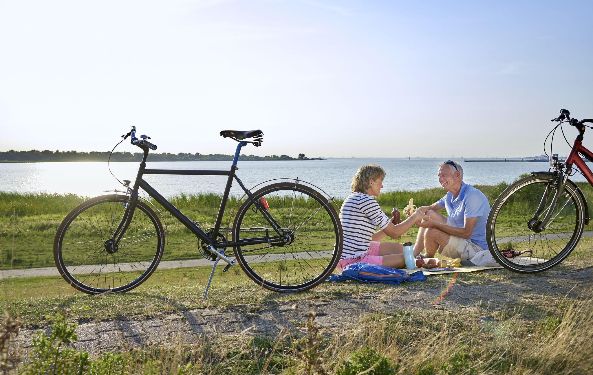
Ride into the horizon – a cycling adventure through Steinburg in Holstein
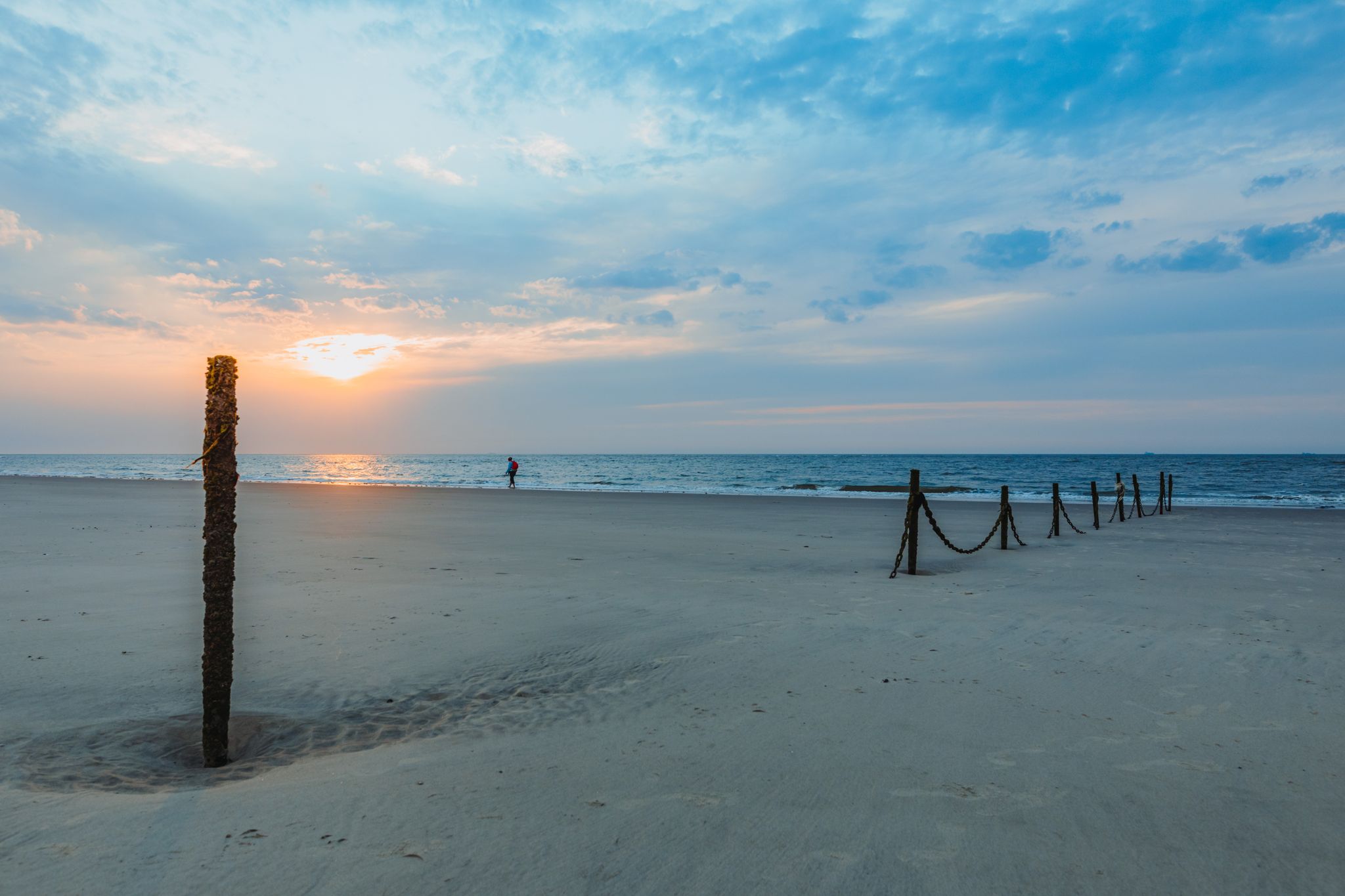
D-Route 1: North Sea Coast Route
Pilger- und Fernwanderwege im Binnenland Schleswig-Holsteins
Other adventures around Glückstadt


Tips from the Community

The building was constructed between 1738 and 1739 in a baroque and representative style. Initially, it served as a Danish "house of correction and asylum". Later, it was the predecessor of a psychiatric institution. From 1875 to 1927, the fortress-like complex was used exclusively as a women's prison. Up to 800 inmates were temporarily housed here. Additionally, the inner courtyard featured a historical execution site. After its closure as a prison, the listed, magnificent building was completely converted from 1931 onwards. Today, it houses a residential complex with 17 housing units.
0
0
The historic salt warehouse in Glückstadt is located on the scenically significant waterfront street Am Hafen 63. The three-story brick building was erected in 1827. It is characterized by its distinctive green shutters, a red tiled roof, and a prominent dormer with a curved gable. In the basement of the historic warehouse, the Artequarium is now located, which is used as a gallery, studio, and creative event venue for workshops, concerts, and readings.
0
0

Beautiful + well-maintained canals in the wind-sheltered area of Glückstadt.
0
0

beautiful view and meeting point for lovers and melancholics.
0
0

Glückstadt is highly recommended for a short break. There are fantastic hiking and cycling opportunities here. The town itself is beautiful and offers many attractions. The harbor area boasts a lively nightlife scene with a great view of the waterfront.
2
0
Glückstadt is highly recommended for a short break. There are fantastic hiking and cycling opportunities here. The town itself is beautiful and offers many attractions. The harbor area boasts a lively nightlife scene with a great view of the waterfront.
2
0
Glückstadt is highly recommended for a short break. There are fantastic hiking and cycling opportunities here. The town itself is beautiful and offers many attractions. The harbor area boasts a lively nightlife scene with a great view of the waterfront.
2
0

Beautiful houses stand at the harbor, a picture of idyll.
2
0
Frequently Asked Questions
How many bus station hiking trails are available around Glückstadt?
There are over 30 bus station hiking trails around Glückstadt, offering a variety of options for exploring the region's unique landscapes. Most of these routes are considered easy, making them accessible for many hikers.
What kind of landscapes can I expect on bus station hikes in Glückstadt?
The bus station hikes in Glückstadt primarily lead through the distinctive Elbe marshlands (Elbmarschen). You'll experience wide-open spaces, extensive dykes along the Elbe River, and fertile agricultural areas. Many routes offer expansive views of the Elbe, where you can watch large ships pass by.
Are there any easy circular routes accessible from bus stops in Glückstadt?
Yes, Glückstadt offers several easy circular routes starting conveniently from bus stops. For example, the Glückstadt Salt Warehouse – At the Harbor, Glückstadt loop is an easy 5.1 km circular hike that explores the town's harbor area. Another option is the Glückstadt Market Square – Glückstadt inner harbor lock loop, which is also easy and covers about 4.9 km.
What are the best seasons for hiking from bus stations in Glückstadt?
The best seasons for hiking in Glückstadt are spring and summer, when the marshlands are vibrant with blooming flowers and lush greenery. Autumn also offers picturesque scenery with colorful foliage and golden sunsets over the Elbe. The flat terrain makes hiking enjoyable in most conditions, though winter can be chilly.
Are the bus station hiking trails in Glückstadt suitable for families with children?
Yes, many of the bus station hiking trails in Glückstadt are very suitable for families. The flat landscape and well-maintained paths, especially along the Elbe dyke, make for easy and enjoyable walks. Routes like the Glückstadt Salt Warehouse – At the Harbor, Glückstadt loop are short and offer interesting sights for all ages.
Can I bring my dog on the bus station hiking trails?
Generally, dogs are welcome on the hiking trails around Glückstadt. However, as many routes pass through agricultural areas and along dykes where sheep graze, it's important to keep dogs on a leash, especially in nature reserves and near livestock. Always check local signage for specific restrictions.
What interesting sights or landmarks can I see along these routes?
Many bus station routes offer views of the Elbe River and its maritime traffic. You can also explore historical elements like the Dike Breach Memorial Stone Kuhle (1643). The Glückstadt Harbor itself is a highlight, offering a glimpse into the town's seafaring past. Some routes might also pass by facilities like the Rest Area at Neendorf Pond or the Wooden Shelter by the Elbe.
Are there any longer or more challenging routes accessible by bus?
While most routes are easy to moderate, some offer a bit more distance. For a moderate hike, consider the Storchenfleth Riverside Path – Neuendeich Lighthouse loop, which covers about 10.5 km. The region's flat terrain means elevation changes are minimal, so 'challenging' typically refers to distance rather than steep climbs.
What do other hikers say about the bus station trails in Glückstadt?
The komoot community rates the hiking trails around Glückstadt highly, with an average score of 4.3 stars. Reviewers often praise the peaceful marshland scenery, the expansive views of the Elbe, and the ease of access from public transport. Many appreciate the well-maintained dyke paths and the opportunity to observe nature.
Are there opportunities for refreshments or food stops along the bus station hiking trails?
Yes, especially on routes that pass through or near Glückstadt town center or smaller villages. The town itself offers various cafes and restaurants. For routes further afield, it's always a good idea to pack some provisions, though some trails might pass by facilities like the Rest Area at Neendorf Pond.
Can I combine hiking with other activities in Glückstadt?
Absolutely! Glückstadt is also known for its extensive cycling paths, often running alongside hiking routes on the dykes and through the marshlands. You can easily combine a shorter hike with exploring the historic town center or enjoying the maritime atmosphere at the harbor. For more information on local attractions, you can visit Glückstadt Tourism's sightseeing page.
Most popular routes around Glückstadt
Most popular attractions around Glückstadt

Get inspired with the komoot mobile app


Explore more
Browse the best Hikes in other regions.
