The best traffic-free bike rides around Wehrheim
4.5
(200)
1,516
riders
17
rides
Gravel biking around Wehrheim offers diverse terrain within Germany's Taunus low mountain range, situated between 250 and 400 meters above sea level. The region features gently rolling landscapes, extensive deciduous forests, and historical elements like the Limes Germanicus. Riders can expect a mix of surfaces, from forest paths to gravel tracks, suitable for exploring the natural and historical points of interest.
Best no traffic gravel bike trails around Wehrheim
- The most popular no traffic gravel bike trail is Nature Trail Winterstein – Trail from Obermörlen Airfield to the Bad Nauheim Fish Ponds loop from Wehrheim, a 22.8 miles (36.7 km) difficult trail that takes 2 hours 21 minutes to complete, offering varied terrain through forests and open areas.
- Another top favourite among local gravel bikers is View from Oberloh – Usingen Earth Station loop from Wehrheim, a moderate 19.3 miles (31.0 km) path. This route provides views of the surrounding landscape and passes by the Usingen Earth Station.
- Local gravel bikers also love the View of the Taunus – View of the Großer Feldberg loop from Wehrheim, a 16.6 miles (26.7 km) trail leading through the Taunus, often completed in about 1 hour 34 minutes, with views towards the Großer Feldberg.
- Gravel biking around Wehrheim is defined by rolling landscapes, extensive deciduous forests, and routes tracing the historical Roman Limes. The network offers options for various ability levels, from moderate to difficult.
- The routes in Wehrheim are highly rated by the komoot community with an average score of 4.5 stars from over 170 reviews. More than 1,300 gravel bikers have used komoot to explore Wehrheim's varied terrain.
Last updated: July 11, 2026
4.7
(3)
16
riders
Hard gravel ride. Very good fitness required. Mostly paved surfaces. Suitable for all skill levels.
4.3
(3)
11
riders
31.0km
01:53
380m
380m
Moderate gravel ride. Good fitness required. Mostly paved surfaces. Suitable for all skill levels.

Sign up for free
4.3
(3)
10
riders
26.6km
01:33
330m
330m
Moderate gravel ride. Good fitness required. Mostly paved surfaces. Suitable for all skill levels.
5.0
(3)
4
riders
19.7km
01:21
300m
300m
Moderate gravel ride. Good fitness required. Mostly paved surfaces. Suitable for all skill levels.
5.0
(1)
5
riders
38.7km
02:32
590m
590m
Hard gravel ride. Very good fitness required. Mostly paved surfaces. Suitable for all skill levels.
Get access to more routes and recommendations from other explorers.
Sign up for free
Already have an account?
Our route recommendations are based on thousands of hikes, rides, and runs completed by other people on komoot.
Start today with a free account
Your next adventure awaits.
Login or Signup
Popular around Wehrheim
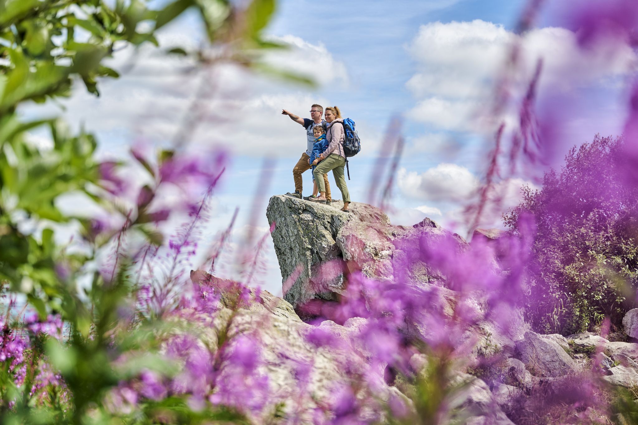
History, forest and gnomes – hiking in Germany’s Hochtaunus region
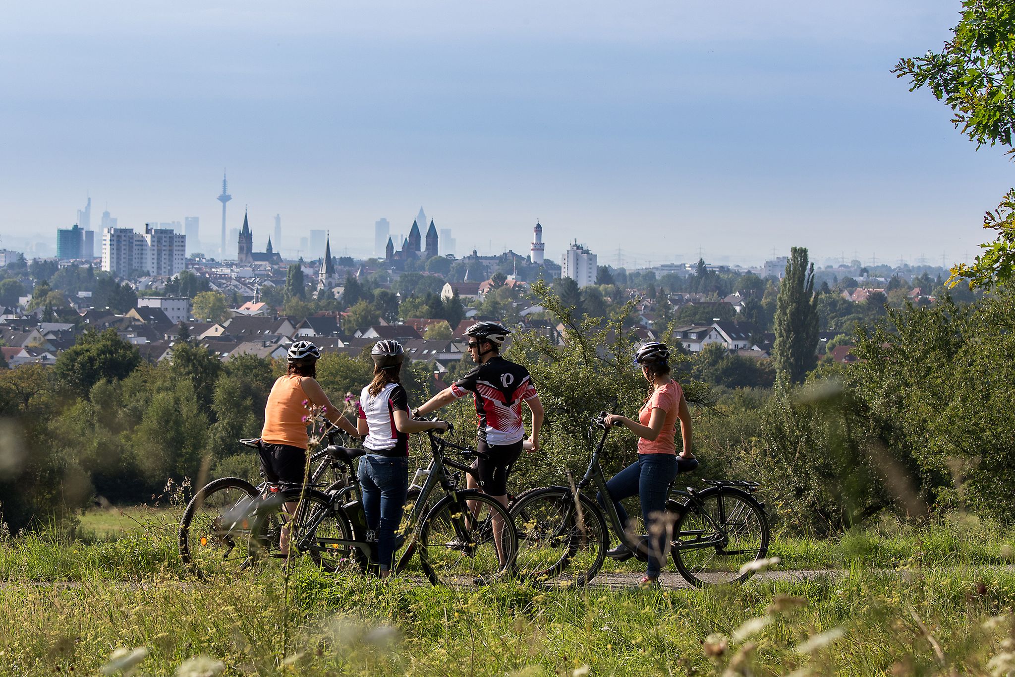
From safari to world heritage — cycling tours in the Taunus region
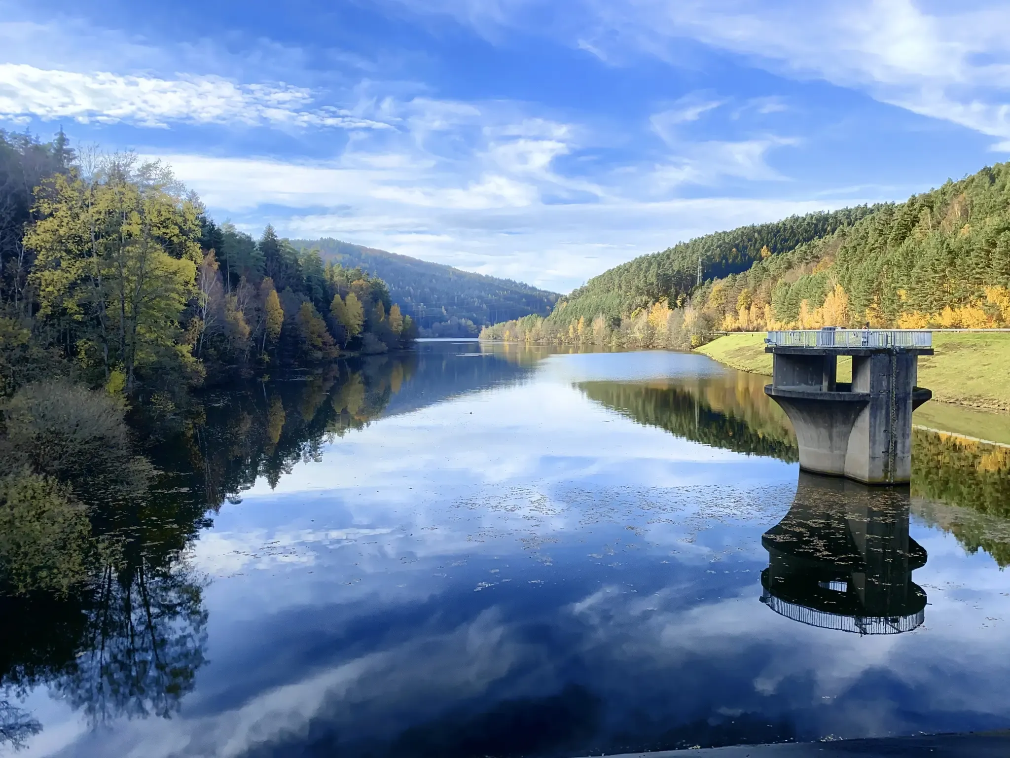
Mit Rosbacher auf Tour im Rhein-Main-Gebiet
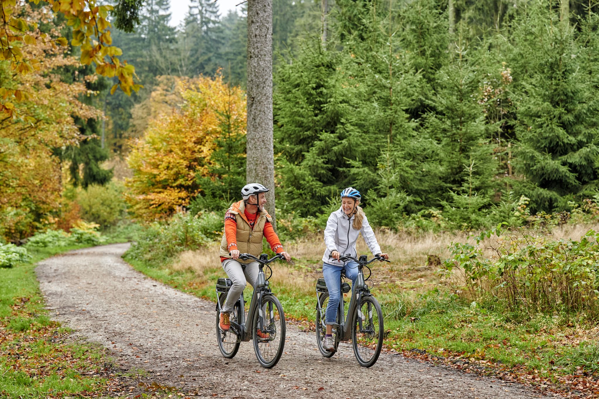
Radfahren im Taunus – Auspowern, genießen, entdecken
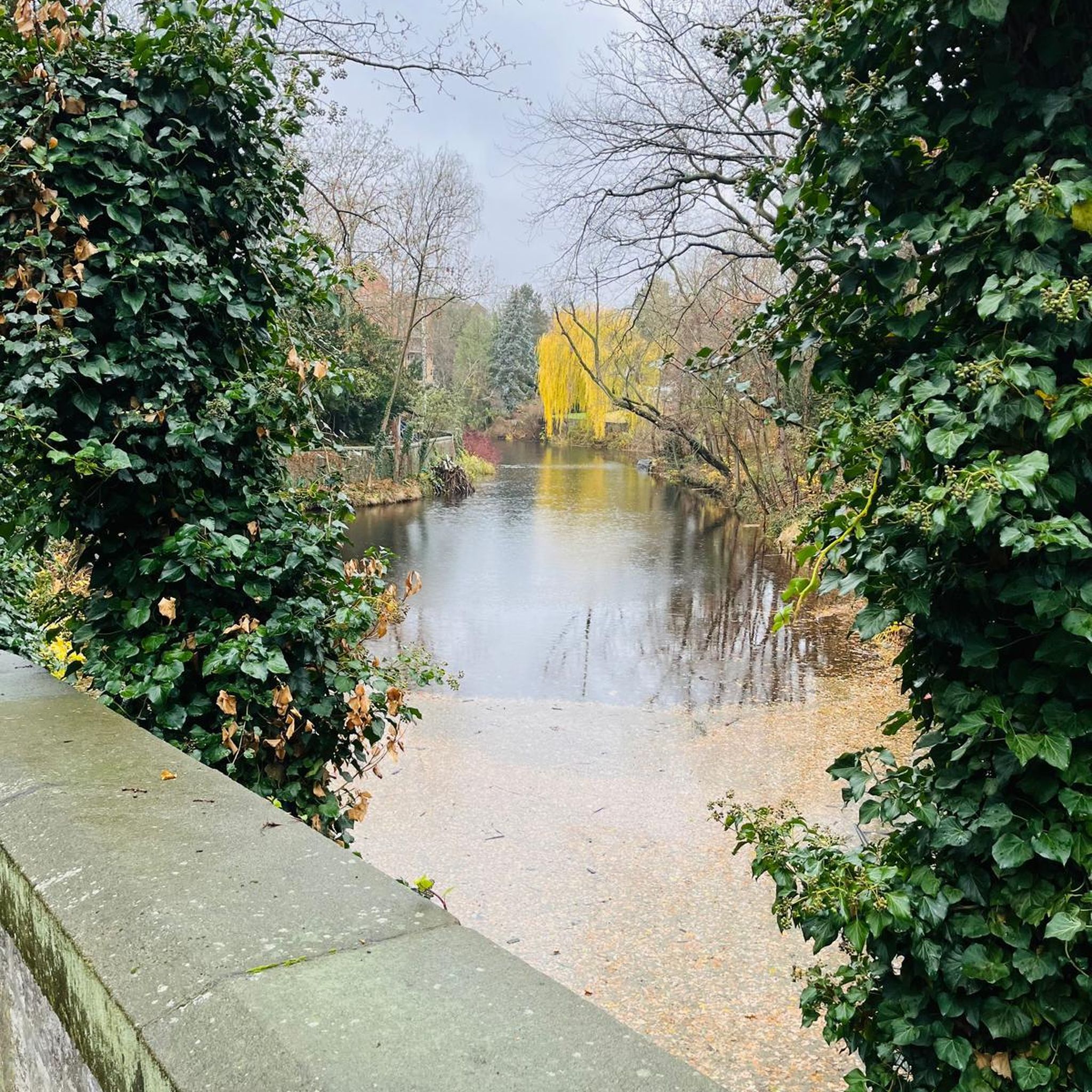
Traffic-free bike rides around Wehrheim
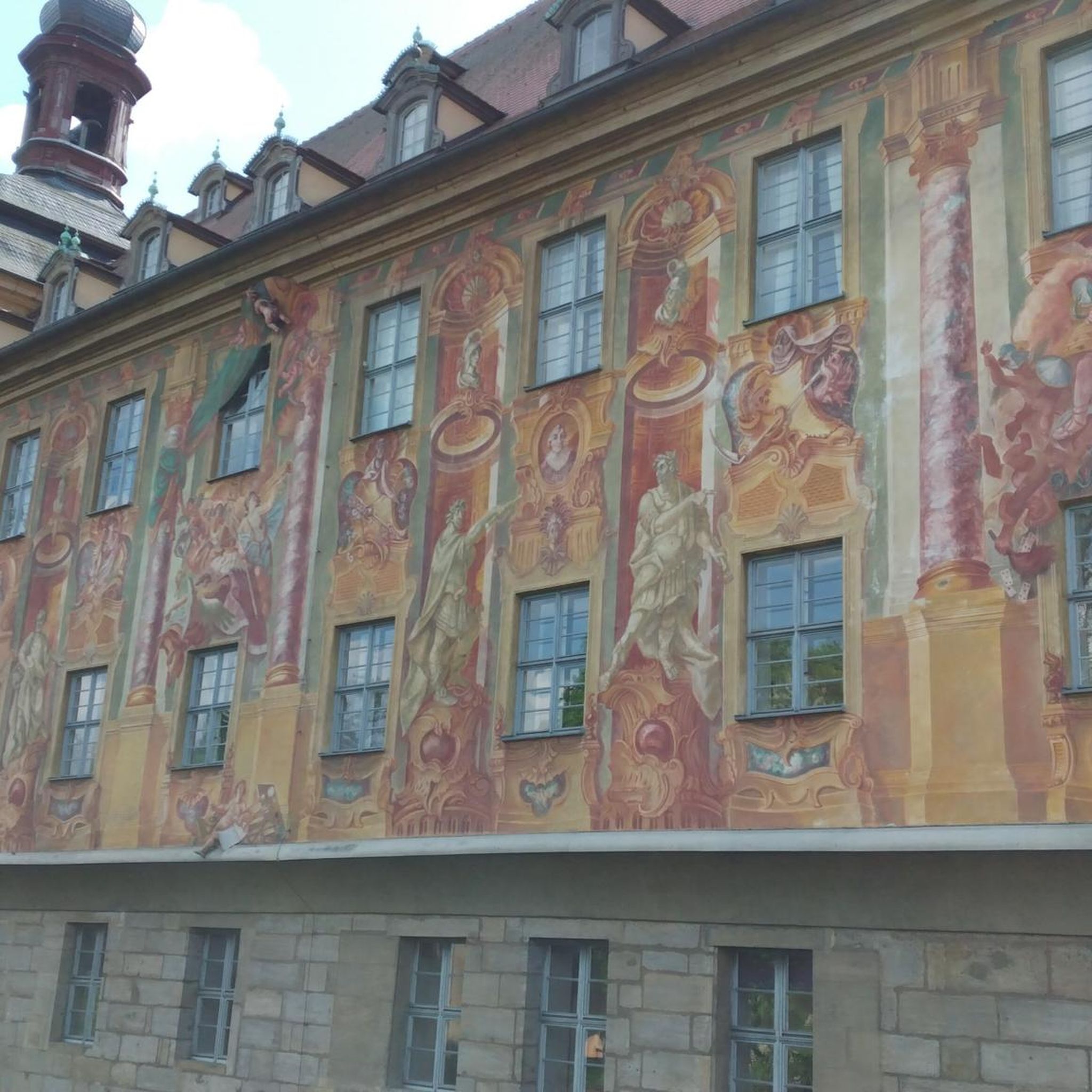
Traffic-free bike rides around Wehrheim
Other adventures around Wehrheim


Tips from the Community

On which paths were these recordings made, show on map
0
0

The upper part of the Usatalradweg certainly offers steep climbs in both directions.
0
0


View of the Taunus
0
0

Well-developed cycle path along the Erlenbach.
1
1

If you're interested in building the trail, please contact me (bierbiker123@gmail.com). I've been building there for ages, and recently I built a new small bridge 👍
4
0

great view of the Feldberg
2
1
Can be seen well in good weather
2
0
Frequently Asked Questions
How many no-traffic gravel bike trails are available around Wehrheim?
There are 17 dedicated no-traffic gravel bike trails around Wehrheim featured in this guide. These routes offer a variety of distances and elevations, ensuring there's something for every skill level.
What kind of terrain can I expect on Wehrheim's gravel bike trails?
Wehrheim's gravel bike trails traverse the diverse landscapes of the Taunus low mountain range. You can expect a mix of well-maintained gravel paths, forest roads, and some sections that might include root-covered trails, allowing for seamless transitions between different surfaces. The region is known for its gently rolling, green landscapes and extensive deciduous forests.
Are there any easy no-traffic gravel bike trails suitable for beginners or families?
Yes, there is at least one easy no-traffic gravel bike trail around Wehrheim. While many routes are moderate, beginners can enjoy the scenic beauty without significant technical challenges. For example, the Nature Trail Winterstein – Trail from Obermörlen Airfield to the Bad Nauheim Fish Ponds loop from Wehrheim offers a pleasant experience, though it is rated difficult due to its length.
What historical sites can I explore along the gravel routes?
Wehrheim is rich in history, with several Roman-era sites accessible from the trails. You can cycle along sections of the Upper Germanic-Rhaetian Limes, a UNESCO World Heritage site. Notable attractions include the remains of the Saalburg Roman fort and the well-preserved Kapersburg fort. These sites offer a unique blend of outdoor activity and historical exploration.
Are there any circular gravel bike routes around Wehrheim?
Yes, many of the gravel bike trails around Wehrheim are designed as loops, allowing you to start and end in the same location. Examples include the View from Oberloh – Usingen Earth Station loop from Wehrheim and the View of the Taunus – View of the Großer Feldberg loop from Wehrheim, providing convenient options for your ride.
What are the best times of year to go gravel biking in Wehrheim?
The Taunus region, including Wehrheim, offers excellent gravel biking conditions for much of the year. Spring is beautiful with blooming deciduous forests, while autumn provides vibrant foliage. The climate is generally pleasant, with low-rainfall summers and clear winter months, making it suitable for year-round exploration, though conditions may vary.
What do other gravel bikers say about the trails in Wehrheim?
The gravel bike trails around Wehrheim are highly rated by the komoot community, with an average score of 4.5 stars from 174 ratings. Reviewers often praise the quiet woodlands, the diverse terrain that keeps rides interesting, and the opportunity to explore historical sites and scenic viewpoints away from traffic.
Are there any good viewpoints or panoramic spots along the routes?
Absolutely. The Taunus region is known for its scenic vistas. Many routes offer stunning views, such as the Forest Path at Heßberg – Panoramic View Above Wehrheim loop from Wehrheim. You can also find expansive views from the Winterstein tower and the View of the Taunus – View of the Großer Feldberg loop from Wehrheim, which offers glimpses of the highest peak in the Rhenish Slate Mountains.
Can I find places to eat or drink near the gravel bike trails in Wehrheim?
Wehrheim, known as the 'Apple Village,' has local amenities where you can refuel. While specific cafes directly on every trail might be limited, the town center and surrounding villages offer options for refreshments. Planning your route to pass through these areas can ensure you find suitable stops.
What is the longest no-traffic gravel bike trail in this guide?
The longest no-traffic gravel bike trail featured in this guide is the Hattsteinweiher – View of Frankfurt Skyline loop from Wehrheim, covering a distance of nearly 40 kilometers with significant elevation gain, making it a challenging and rewarding ride.
Are there any specific attractions related to the 'Apple Village' theme?
Wehrheim is indeed known as the 'Apple Village' due to its numerous apple orchards. While specific attractions might not be directly on every gravel route, you'll cycle through landscapes dotted with these orchards, especially beautiful during blossom season or harvest time, offering a unique regional flavor to your ride.
Most popular routes around Wehrheim
Most popular attractions around Wehrheim

Get inspired with the komoot mobile app


Explore more
Browse the best Gravel rides in other regions.
