The best hikes from bus stations around Osterburken
4.5
(1910)
7,276
hikers
40
hikes
Bus station hiking trails around Osterburken are situated within the Neckartal-Odenwald Nature Park and the Bauland region, offering a diverse landscape for outdoor activities. The area features varied topography, including forested sections, open fields, and river valleys like the Kirnautal. Characterized by shell limestone bedrock, the region also presents open lands with elevations reaching up to 400 meters, providing wide views. This environment combines natural beauty with historical significance, particularly along the Roman Limes.
Best bus station hiking trails around Osterburken
- The most popular bus station hiking route is Osterburken Roman Museum – Horse Pasture loop from Osterburken, a 5.6 miles (8.9 km) trail that takes 2 hours 30 minutes to complete, exploring historical Roman sites and varied terrain.
- Another top favourite among local hikers is Osterburken Roman Museum – Stone Wayside Cross loop from Osterburken, an easy 2.3 miles (3.7 km) path. This route offers a gentle walk past historical markers and open landscapes.
- Local hikers also love the Horse Pasture – Pferdehof Karle Osterburken loop from Osterburken, a 7.2 miles (11.6 km) trail leading through agricultural fields and forested areas, often completed in about 3 hours 10 minutes.
- Hiking around Osterburken is defined by its connection to the Roman Limes, the varied landscapes of the Neckartal-Odenwald Nature Park, and the tranquil Kirnautal valley. The network offers options for different ability levels, from easy strolls to moderate hikes.
- The routes in Osterburken are highly rated by the komoot community with an average score of 4.5 stars from over 1700 reviews. More than 7000 hikers have used komoot to explore Osterburken's varied terrain.
Last updated: August 21, 2026
3.0
(3)
9
hikers
11.7km
03:12
190m
190m
Moderate hike. Good fitness required. Easily-accessible paths. Suitable for all skill levels.
4.8
(4)
16
hikers
6.21km
01:39
60m
60m
Easy hike. Great for any fitness level. Easily-accessible paths. Suitable for all skill levels.

Sign up for free
4.0
(2)
7
hikers
5.83km
01:35
80m
80m
Easy hike. Great for any fitness level. Easily-accessible paths. Suitable for all skill levels.
4.7
(3)
11
hikers
7.12km
01:57
120m
120m
Easy hike. Great for any fitness level. Easily-accessible paths. Suitable for all skill levels.
3.7
(7)
35
hikers
Easy hike. Great for any fitness level. Easily-accessible paths. Suitable for all skill levels.
Get access to more routes and recommendations from other explorers.
Sign up for free
Already have an account?
Our route recommendations are based on thousands of hikes, rides, and runs completed by other people on komoot.
Start today with a free account
Your next adventure awaits.
Login or Signup

Other adventures around Osterburken


Tips from the Community

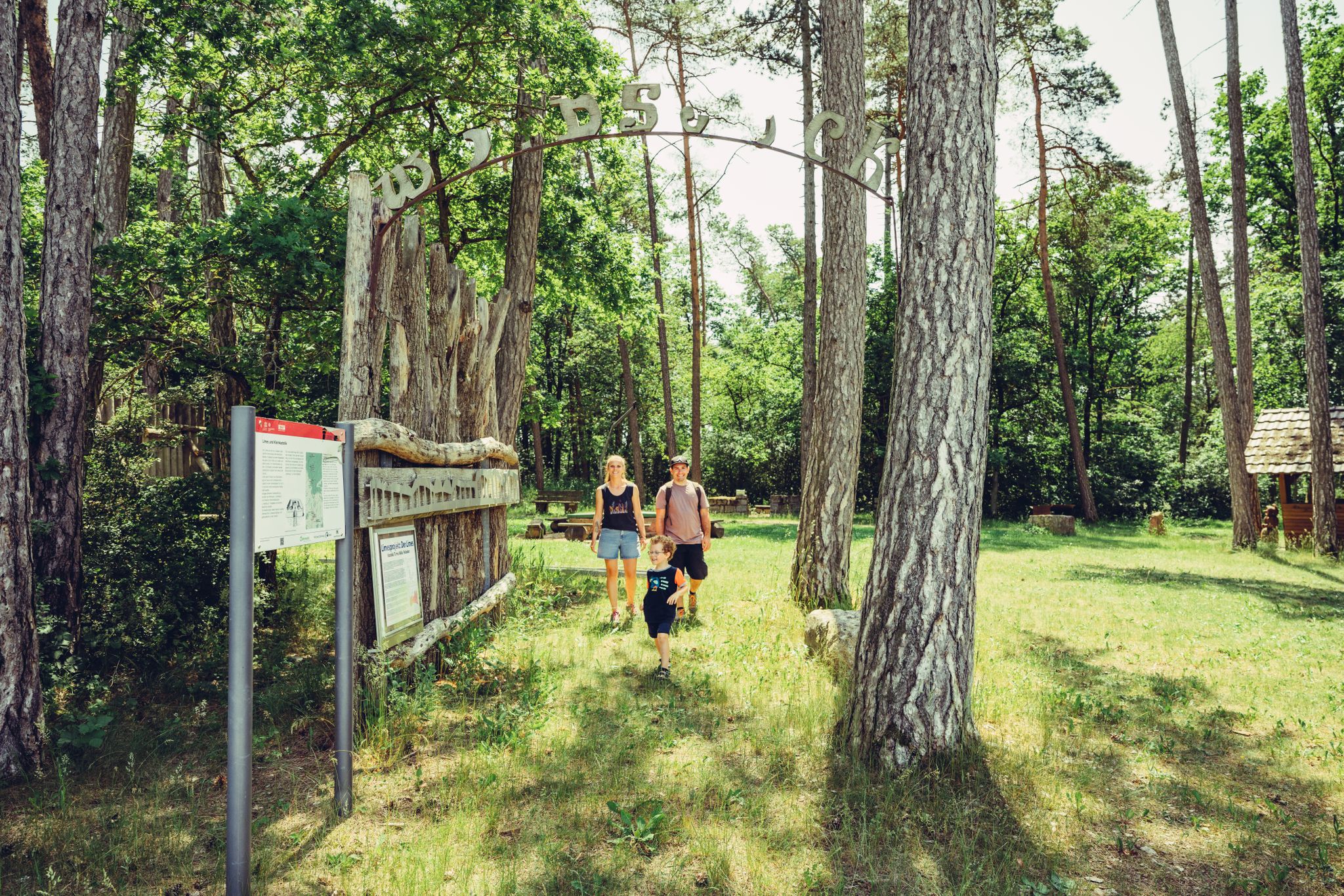
With a work of art in the middle of the landscape
0
0
Now parish office of Osterburken
0
0
Is this a work of art, for contemplating the surroundings?
0
0
With many tree-trunk seating areas
0
0
interesting that they let it become so overgrown
0
0
You might think that these are tree trunks converted into seats with a pavilion.
0
0

St. Kilian's Chapel was built in 1746 on the site of a former pauper's cemetery and is an octagonal central structure with a tent roof and a lantern. Inside, the chapel contains an altar from the time of its construction, as well as statues of saints such as John of Nepomuk and St. Wendelin. Originally known as Kilian's Chapel, it was later also called St. Wendelin's Chapel.
10
0
The playground was designed specifically for children and features a Roman theme. The playground offers various attractions, including a large play structure shaped like a Roman fort, in-ground trampolines, and a water play area with pumps and a stream. It's a great place for families to have fun while learning about Roman history.
9
0
Frequently Asked Questions
How many bus station hiking trails are available around Osterburken?
There are over 40 hiking routes accessible directly from bus stations around Osterburken. These trails range from easy strolls to more challenging moderate hikes, offering diverse experiences for every fitness level.
Are there easy and family-friendly hiking routes from Osterburken's bus stations?
Yes, Osterburken offers many easy and family-friendly options. For a shorter, gentle walk, consider the Osterburken Roman Museum – Stone Wayside Cross loop from Osterburken, which is just under 4 km. Another accessible choice is the Hiking loop from Osterburken, covering about 6 km.
What kind of landscapes and natural features can I expect on these trails?
The trails around Osterburken traverse the varied landscapes of the Neckartal-Odenwald Nature Park and the Bauland region. You'll encounter a mix of dense forests, open fields with wide views, and tranquil river valleys like the Kirnautal. The region's shell limestone bedrock also contributes to unique karst phenomena, though these are often underground.
Are there any circular hiking routes starting from bus stations?
Many of the routes are circular, allowing you to start and end at the same bus station. For example, the Osterburken Roman Museum – Horse Pasture loop from Osterburken is a moderate 8.9 km circular hike. Another option is the Horse Pasture – Pferdehof Karle Osterburken loop from Osterburken, a longer moderate loop of about 11.6 km.
What historical sites or points of interest can I see along the bus station hiking trails?
Osterburken is rich in Roman history. Many trails, like the Römerpfad Quality Trail, follow parts of the UNESCO World Heritage Limes, the former Roman border. You can explore relics such as the Roman fort in Osterburken and visible watchtowers. The Buchen (at the Mainz Gate) is another historical point of interest nearby. For a different historical experience, the
Are there any routes that feature waterfalls?
While not a major feature, the Rinschbach stream in the region does feature a stepped dam waterfall, which can be a charming point of interest on some local hiking routes. Specific routes highlighting this feature may vary, but it's a known natural element in the area.
What do other hikers say about the trails around Osterburken?
The komoot community highly rates the hiking trails around Osterburken, with an average score of 4.5 out of 5 stars from over 1,700 ratings. Hikers often praise the well-maintained paths, the historical significance of the Roman Limes, and the peaceful, varied natural scenery.
What is the best time of year to hike near Osterburken?
The Neckartal-Odenwald Nature Park and Bauland region are beautiful year-round. Spring brings blooming wildflowers, summer offers lush greenery, and autumn transforms the forests with vibrant colors. Even winter can be pleasant for hiking, especially on less challenging routes, though conditions may vary.
Are there options for food and drink along the hiking routes?
Yes, some routes pass by or are close to places where you can refuel. For example, the Heidersbacher Mühle — Watermill and Country Inn offers a chance for a meal or refreshment. You might also find local eateries in Osterburken itself or in smaller villages along the way.
Can I bring my dog on these bus station accessible hikes?
Most hiking trails in the Osterburken region are dog-friendly, provided your dog is kept on a leash, especially in nature protection areas or near livestock. Always be mindful of local regulations and other hikers. The varied terrain offers plenty for dogs to enjoy.
Are there any routes that include a petting zoo or similar family attractions?
Yes, for a family-friendly outing, consider the Eberstadt Protestant Church – Eberstadt Petting Zoo loop from Schlierstadt. This easy 6.5 km route offers a delightful stop at a petting zoo, perfect for children and animal lovers.
What are the typical durations for hikes accessible from bus stations?
The duration varies significantly depending on the route's length and your pace. Easy routes like the Osterburken Roman Museum – Stone Wayside Cross loop can be completed in about an hour, while moderate trails such as the Horse Pasture – Pferdehof Karle Osterburken loop might take around 3-4 hours.
Most popular routes around Osterburken
Most popular attractions around Osterburken

Get inspired with the komoot mobile app


Explore more
Browse the best Hikes in other regions.
