The best traffic-free bike rides around Bühlertann
4.5
(228)
916
riders
40
rides
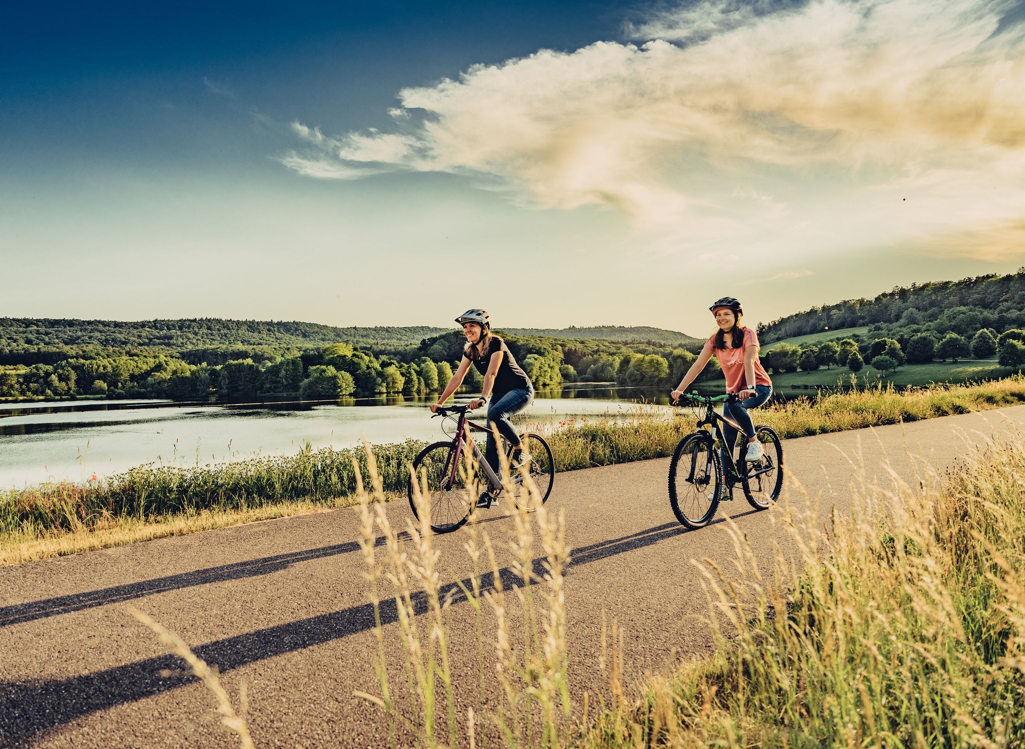
No traffic touring cycling routes around Bühlertann traverse a landscape characterized by meadows, fields, and hills, nestled between the Limpurger and Ellwanger Mountains. The Bühler River winds through the region, offering scenic paths along its banks. This area, bordering the Swabian-Franconian Forest Nature Park, features extensive forests and idyllic valleys, providing varied terrain for cyclists.
Best no traffic touring cycling routes around Bühlertann
- The most popular no traffic touring cycling route is Gaildorf — Old Town and Castle – Town Hall of Obersontheim loop from Bühlertann, a 31.2 miles (50.3 km) trail that takes 3 hours 19 minutes to complete, passing through the historic Gaildorf Old Town and its castle.
- Another top favourite among local touring cyclists is Town Hall of Obersontheim – Medieval Old Town of Vellberg loop from Bühlertann, a moderate 8.1 miles (13.1 km) path that leads to the medieval Old Town of Vellberg.
- Local touring cyclists also love the Towers of Crailsheim – Scenic Countryside Path loop from Bühlertann, a 29.3 miles (47.2 km) trail leading through scenic countryside, often completed in about 2 hours 54 minutes.
- Touring cycling around Bühlertann is defined by the Bühler River Valley, extensive forests, and rolling hills, offering routes for various ability levels.
- The routes in Bühlertann are highly rated by the komoot community with an average score of 4.7 stars from over 190 reviews. More than 800 touring cyclists have used komoot to explore Bühlertann's varied terrain.
Last updated: July 11, 2026
4.7
(18)
93
riders
Hard bike ride. Very good fitness required. Mostly paved surfaces. Suitable for all skill levels.
3.8
(5)
33
riders
Moderate bike ride. Good fitness required. Mostly paved surfaces. Suitable for all skill levels.

Sign up for free
4.8
(4)
13
riders
47.2km
02:54
330m
330m
Moderate bike ride. Good fitness required. Mostly paved surfaces. Suitable for all skill levels.
5.0
(3)
10
riders
31.0km
02:12
290m
290m
Moderate bike ride. Good fitness required. Mostly paved surfaces. Suitable for all skill levels.
5.0
(2)
13
riders
28.2km
01:53
270m
270m
Moderate bike ride. Good fitness required. Mostly paved surfaces. Suitable for all skill levels.
Get access to more routes and recommendations from other explorers.
Sign up for free
Already have an account?
Our route recommendations are based on thousands of hikes, rides, and runs completed by other people on komoot.
Start today with a free account
Your next adventure awaits.
Login or Signup
Other adventures around Bühlertann


Tips from the Community

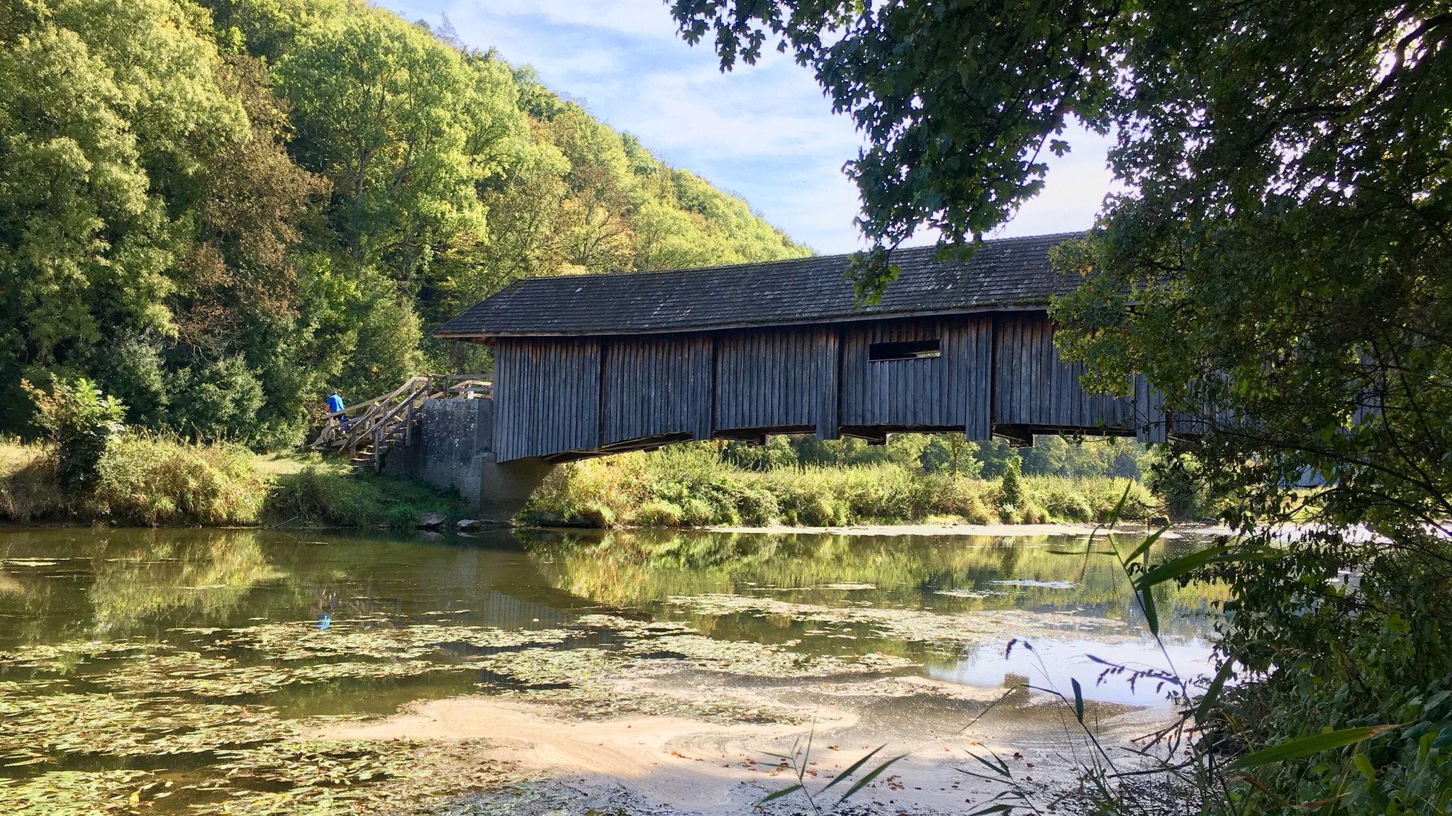
One of the many millponds, often used to drive sawmills.
0
0


Very beautiful old town with historic buildings.
0
0

🥾 Hiking & Cycling The signpost is a popular destination for outdoor enthusiasts: Cycling tours: It is situated on scenic cycle paths that lead through the Ellwangen Lake District and the rolling hills of the Eastern Swabian Alps. Sieger-Köder Trail: Located in the hiking area around the Hohenberg, it can be ideally combined with a visit to St. James' Church and the Chapel of Our Lady in the forest.
1
0
🗺️ The historic cast-iron signpost to Fronrot and Willa is a rare and listed historical monument, a testament to transport history from the late 19th century. It is located near Hohenberg in the municipality of Rosenberg.
1
0
🌊 The Betzenweiher is a tranquil, approximately 0.7-hectare mill pond near Hohenberg, belonging to the municipality of Rosenberg (Ostalbkreis district). It lies idyllically near the small hamlet of Betzenhof, about 4 km northwest of the center of Rosenberg.
1
1
🌳 The "High Tree" The term "high tree" often refers to a prominent landmark – usually a particularly old or tall tree (often a linden or oak) that was visible from afar and served as a guide for travelers. Combined with the signpost, it formed a fixed point of reference in the landscape.
2
0
🗺️ The historical signpost at Dollhof Hochbaum is a fascinating relic from the time before digital navigation and a real highlight for local historians in the Hohenberg/Rosenberg region.
2
0
Frequently Asked Questions
How many no-traffic touring cycling routes are available around Bühlertann?
There are over 35 dedicated no-traffic touring cycling routes around Bühlertann. These routes offer a variety of experiences, from easy rides to more challenging tours, all designed to keep you away from car traffic.
What is the general difficulty level of these no-traffic routes?
The no-traffic touring cycling routes around Bühlertann cater to various fitness levels. You'll find 3 easy routes, 18 moderate routes, and 14 difficult routes, ensuring there's a suitable option whether you're looking for a relaxed ride or a more demanding adventure.
What kind of landscapes can I expect on these no-traffic cycling routes?
The routes traverse a picturesque landscape of meadows, fields, and rolling hills, often following the winding Bühler River. You'll cycle through extensive forests, idyllic valleys, past ponds and lakes like the Orrotsee, and through charming orchards, especially beautiful during blossom or harvest seasons. The region sits between the Limpurger and Ellwanger Mountains, offering diverse scenery.
Are there any scenic viewpoints along the no-traffic routes?
Yes, several routes offer stunning panoramic views. The Altenberg Tower, located on the highest elevation of the Franconia region, provides magnificent vistas of the Swabian Alb, Hohenlohe plains, and Ellwanger mountains. You might also encounter views of the majestic Tannenburg Castle, which sits above the Bühlertal, or the Himmelreich Lookout Tower for the best view of Bühlertann itself.
What historical towns or cultural sights can I visit on a no-traffic cycling tour?
You can explore several charming towns and historical sites. The Gaildorf — Old Town and Castle – Town Hall of Obersontheim loop from Bühlertann takes you to Gaildorf with its half-timbered buildings and castle. Another route, the Town Hall of Obersontheim – Medieval Old Town of Vellberg loop from Bühlertann, leads to Vellberg, a medieval gem with historic buildings and a market fountain. Other points of interest in the region include St. Boniface Church with its frescoes, the Local History Museum 'Alte Schule', and the historic Wine Press House Möller.
Are there any family-friendly no-traffic cycling routes?
Yes, Bühlertann offers routes suitable for families. The region's well-maintained cycling paths include easier, paved sections that are ideal for all fitness levels. For example, the Town Hall of Obersontheim – Medieval Old Town of Vellberg loop from Bühlertann is a moderate 13 km route that could be a good option for families looking for a shorter ride.
Can I find circular no-traffic cycling routes?
Absolutely. Many of the no-traffic touring cycling routes around Bühlertann are designed as loops, allowing you to start and end at the same point. Examples include the Gaildorf — Old Town and Castle – Town Hall of Obersontheim loop from Bühlertann, the Towers of Crailsheim – Scenic Countryside Path loop from Bühlertann, and the Schenkensee – Herlings Pond loop from Bühlertann.
What is the best time of year for no-traffic touring cycling in Bühlertann?
Bühlertann is a state-recognized recreation area, making it enjoyable for cycling throughout the warmer months. Spring offers beautiful blossoming orchards, while summer provides pleasant weather for longer rides. Autumn brings vibrant colors to the forests and valleys, creating a scenic backdrop for your tour. Always check local weather forecasts before heading out.
Are there places to refill water bottles or find refreshments along the routes?
Yes, the region is well-equipped for cyclists. The Orrotsee, a pleasant bathing lake, has a water tap available for refilling bottles. Many of the towns you'll pass through, such as Gaildorf and Vellberg, offer restaurants and cafes where you can stop for refreshments. Additionally, you might find huts like the Altenberg Snack Station or the Rotholz Hut along some routes.
What do other cyclists say about the no-traffic routes in Bühlertann?
The no-traffic touring cycling routes in Bühlertann are highly rated by the komoot community, with an average score of 4.7 stars from over 190 ratings. Reviewers often praise the quiet, scenic paths, the diverse landscapes, and the opportunity to explore charming towns and natural features away from busy roads.
Are there any routes that specifically feature lakes or ponds?
Yes, several routes incorporate the region's beautiful water bodies. The Schenkensee – Herlings Pond loop from Bühlertann is a moderate route that takes you past these serene ponds. Another option is the Sägweiher – Espachweiler Lake loop from Bühlertann, a more challenging ride that includes scenic lake views.
Most popular routes around Bühlertann
Most popular attractions around Bühlertann

Get inspired with the komoot mobile app


Explore more
Browse the best Cycling routes in other regions.
