The best hikes from bus stations around Ilshofen
4.6
(5798)
24,318
hikers
94
hikes
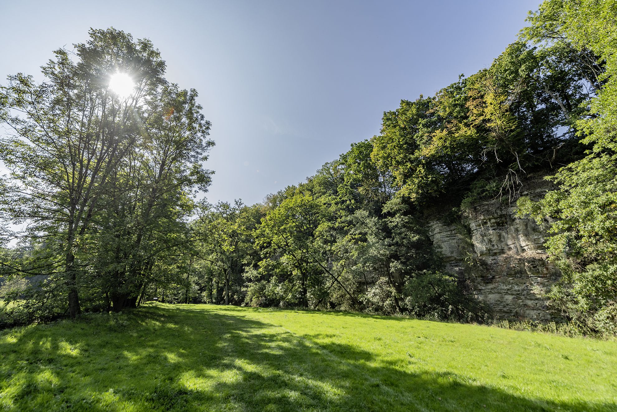
Bus station hiking trails around Ilshofen offer access to the diverse landscapes of the Swabian-Franconian Forest. The region is characterized by rolling hills, river valleys carved by the Kocher and Jagst rivers, and extensive forested areas. Hikers can explore natural features such as canyons, waterfalls, and the scenic Schmerach River gorge. The terrain provides varied routes, from gentle riverside paths to more challenging ascents through woodlands.
Best bus station hiking trails around Ilshofen
- The most popular bus station hiking route…
Last updated: June 27, 2026
4.8
(85)
290
hikers
Hard hike. Good fitness required. Sure-footedness, sturdy shoes and alpine experience required.
4.9
(17)
59
hikers
Moderate hike. Good fitness required. Easily-accessible paths. Suitable for all skill levels.

Sign up for free
4.7
(7)
22
hikers
9.12km
02:37
210m
210m
Moderate hike. Good fitness required. Easily-accessible paths. Suitable for all skill levels.
5.0
(2)
14
hikers
Moderate hike. Good fitness required. Easily-accessible paths. Suitable for all skill levels.
4.7
(3)
9
hikers
12.1km
03:18
170m
170m
Moderate hike. Good fitness required. Easily-accessible paths. Suitable for all skill levels.
Get access to more routes and recommendations from other explorers.
Sign up for free
Already have an account?
Our route recommendations are based on thousands of hikes, rides, and runs completed by other people on komoot.
Start today with a free account
Your next adventure awaits.
Login or Signup
Popular around Ilshofen
Other adventures around Ilshofen

Tips from the Community

A small stream meets the Bühler here. You can also swim a little further down.
0
0
Remains of an old church in Anhausen
0
0
Beautiful place on the Bühler with history and refreshment opportunities
0
0

We even had live music and the food was good
0
0

Anhausen with possibility to stop by when open
0
0
This place is a place of power
0
0
Frequently Asked Questions
How many hiking trails are accessible directly from bus stations around Ilshofen?
There are nearly 100 hiking trails around Ilshofen that are easily accessible from bus stations. These routes offer a wide range of experiences, from leisurely strolls to more challenging treks through the diverse landscape.
What kind of natural features can I expect to see on bus-accessible hikes near Ilshofen?
The bus-accessible hikes around Ilshofen often traverse picturesque river valleys, including those of the Kocher, Jagst, and Schmerach rivers. You'll encounter rolling hills, dense forested areas of the Swabian-Franconian Forest, and even dramatic canyons and small waterfalls, adding varied scenery to your outdoor experience.
Are there any easy or family-friendly hiking options from Ilshofen's bus stops?
Yes, Ilshofen offers over 35 easy hiking routes that are suitable for families or those seeking a less strenuous walk. Many of these trails are accessible from local bus stops, allowing for relaxed exploration of the region's natural beauty. For example, the route to Anhausen Castle Site – ⭐️🐷 Small waterfall loop from Unteres Bühlertal offers a moderate, yet manageable, experience with interesting sights.
Can I find circular hiking routes that start and end at a bus station?
Absolutely. Many of the trails around Ilshofen are designed as circular routes, making them ideal for bus-accessible adventures. You can start your hike at a bus stop, complete a loop, and return to the same or a nearby stop for your journey home. This allows for convenient exploration without the need for a car.
What are some notable landmarks or points of interest I can visit on these hikes?
Along the bus-accessible trails, you can discover several interesting landmarks. Highlights include the Langenburg Castle Gardens, the historic Ruins of St. Bartholomäus Church in Anhausen, and the scenic Fish ladder at the Kocher weir near Buchenmühle. The region also features charming covered wooden bridges like the Ockenauer Steg over the Jagst River, and various castle ruins such as Burgruine Klingenfels and Burg Leofels.
Are there any hikes that feature waterfalls or unique water features?
Yes, the region around Ilshofen is known for its natural water features. You can find routes that lead to small waterfalls and explore the picturesque Schmerach River gorge. The Anhausen Castle Site – ⭐️🐷 Small waterfall loop from Unteres Bühlertal is one such trail that includes a small waterfall.
What do other hikers say about the trails around Ilshofen?
The hiking trails around Ilshofen are highly regarded by the komoot community, boasting an average rating of 4.6 out of 5 stars. Reviewers often praise the diverse landscapes, the well-maintained paths, and the peaceful atmosphere of the Swabian-Franconian Forest.
Can I bring my dog on the bus-accessible hiking trails?
Generally, dogs are welcome on the hiking trails around Ilshofen. However, it's always advisable to keep them on a leash, especially in nature reserves or areas with wildlife, and to check local regulations for specific bus routes regarding pet transport. The natural environment with rivers and forests provides a great setting for walks with your canine companion.
Are there any longer, more challenging bus-accessible hikes?
For experienced hikers, there are several challenging routes accessible by bus. These include longer distances and significant elevation changes, offering a rewarding workout. An example is the Vellberg Town Gate Tower – Abandoned Hamlet of Rappolden loop from Unteres Bühlertal, which is classified as difficult and covers nearly 16 km with considerable ascent.
What is the best time of year to hike from bus stations in Ilshofen?
Ilshofen offers great hiking opportunities throughout the year. Spring brings blooming wildflowers, summer allows for refreshing dips in natural swimming spots like Natural swimming spot with diving board, and autumn showcases vibrant foliage. Even in winter, some trails are suitable for crisp, scenic walks, especially those along the river valleys. Always check local conditions before heading out.
Are there any routes that follow the Schmerach River?
Yes, the Schmerach River, particularly its gorge, is a highlight of the region. Several hikes follow its course, offering unique natural beauty. The Barbecue Area by the Schmerach – Schmerach River loop from GVV Ilshofen-Vellberg is an excellent example of a moderate route that explores this scenic river.
Most popular routes around Ilshofen
Most popular attractions around Ilshofen

Get inspired with the komoot mobile app


Explore more
Browse the best Hikes in other regions.
