The best hikes from bus stations around Öhringen
4.5
(9210)
36,609
hikers
146
hikes
Bus station hiking trails around Öhringen traverse a landscape characterized by the picturesque Kocher and Brettach river valleys, along with the Ohrn River. The region sits between the foothills of the Swabian-Franconian Forest and the hilly Hohenlohe Plain, featuring Keuper forest mountains. Hikers can explore varied terrain, including woodlands, open plains, and sections of the UNESCO World Heritage Upper Germanic Limes. This diverse topography provides a range of natural features for outdoor exploration.
Best bus station hiking trails around Öhringen
…Last updated: June 27, 2026
4.7
(24)
145
hikers
Easy hike. Great for any fitness level. Easily-accessible paths. Suitable for all skill levels.
5.0
(17)
82
hikers
Easy hike. Great for any fitness level. Easily-accessible paths. Suitable for all skill levels.

Sign up for free
4.8
(14)
37
hikers
Moderate hike. Good fitness required. Easily-accessible paths. Suitable for all skill levels.
4.5
(4)
21
hikers
14.9km
04:08
260m
260m
Moderate hike. Good fitness required. Easily-accessible paths. Suitable for all skill levels.
5.0
(3)
47
hikers
Easy hike. Great for any fitness level. Easily-accessible paths. Suitable for all skill levels.
Get access to more routes and recommendations from other explorers.
Sign up for free
Already have an account?
Our route recommendations are based on thousands of hikes, rides, and runs completed by other people on komoot.
Start today with a free account
Your next adventure awaits.
Login or Signup
Popular around Öhringen

German Limes Cycle Path – Riding from the Rhine to the Danube
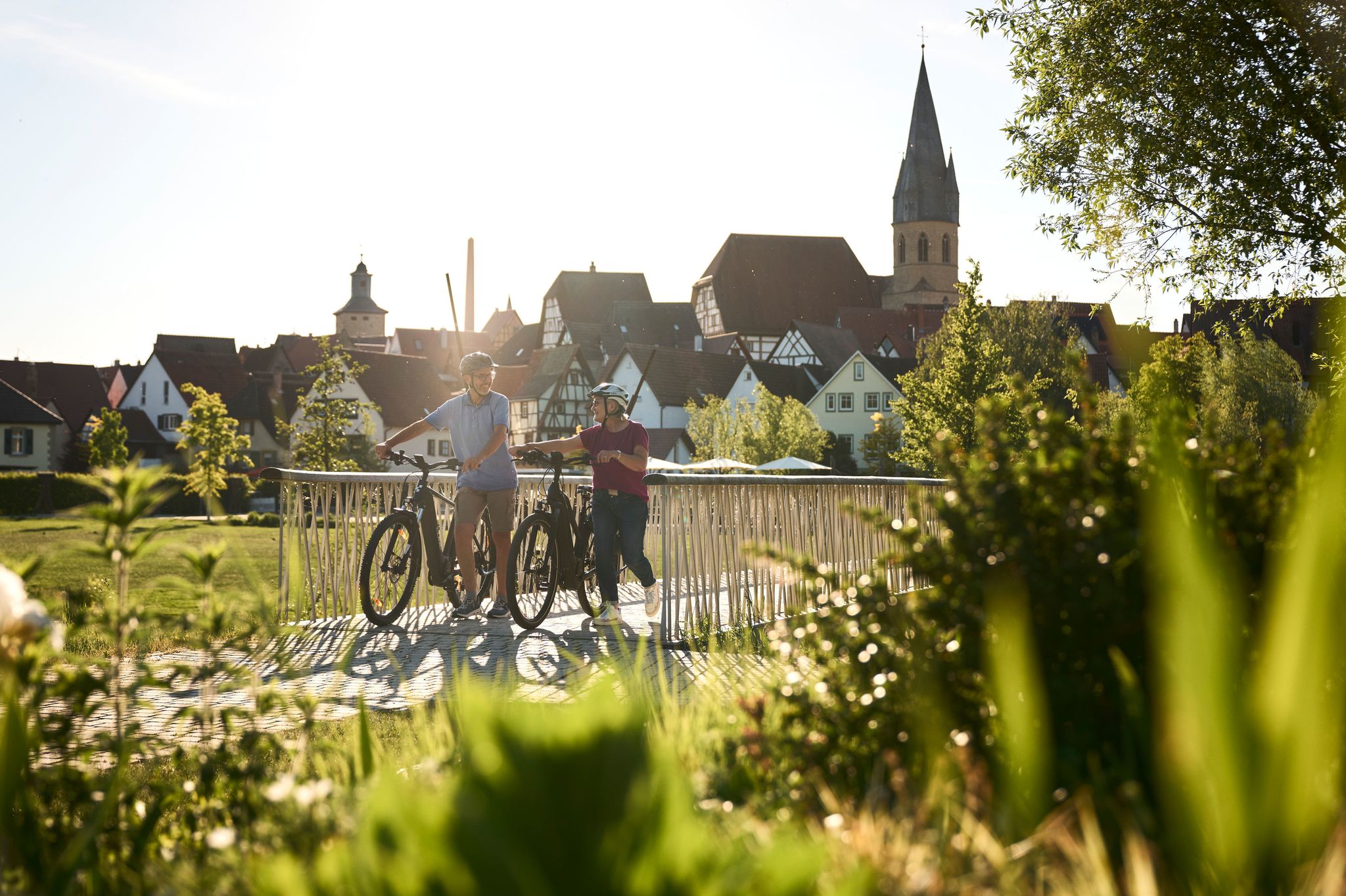
Half-timbered houses and superb cycling tours – the best of the South
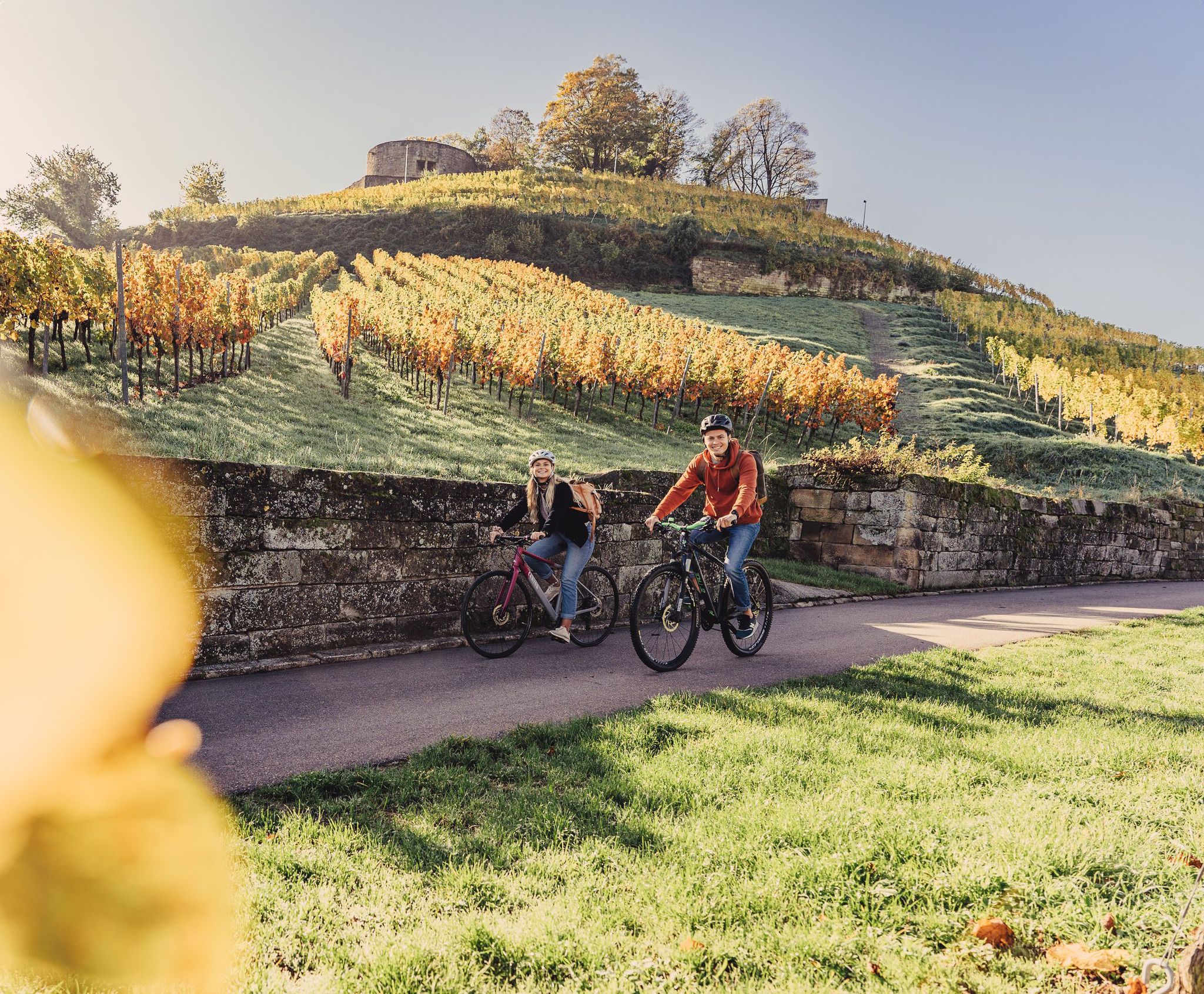
Cycling for pleasure in the north of Baden-Württemberg
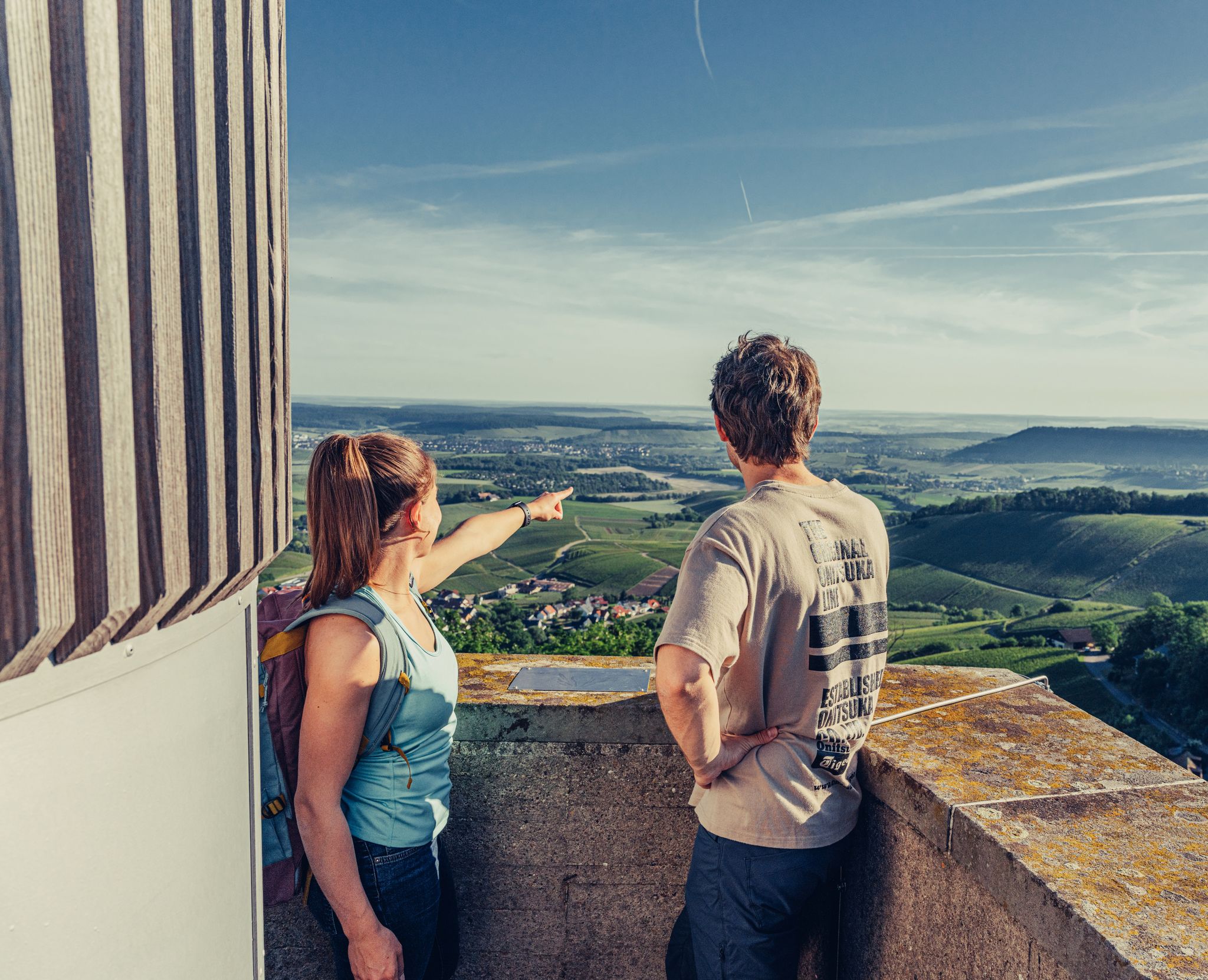
Ride to the most beautiful viewpoints in northern Baden-Württemberg
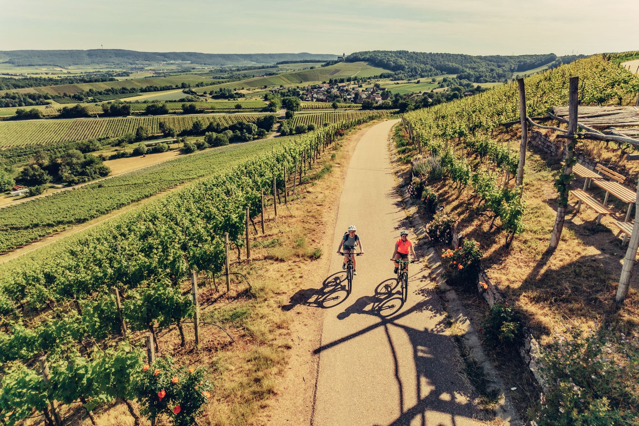
E-bike day Tours along the Tauber, Kocher, Jagst and Neckar rivers
Aktiv in die längeren Tage – Frühlingsradeln im Norden Baden-Württembergs
Other adventures around Öhringen


Tips from the Community

Hydroelectric power plant in Sindringen Hohenlohe
0
0
Marker stone discovered while cycling
0
0
Untere Torstraße in Öhringen
0
0
City wall in Öhringen hohenlohe
0
0

The Kocher Bridge spans the Kocher River with its weir and the Kocher Canal, just before the entrance to Sindringen. From here, you not only have a beautiful view of the waterway, but also of the town center of Sindringen.
5
0
The exact date of the castle's construction is undocumented. It is first mentioned in a document from 1328. However, the name Anselmus von Sindringen appears as early as 1094, suggesting that the castle was built around that time. The town and castle came under the control of Hohenlohe in 1328, five years after Forchtenberg had passed to Kraft von Hohenlohe. The castle then became the seat of Hohenlohe bailiffs and administrators. One of them was Konrad von Sindringen in 1345. The Sindringen noble family produced some respected men. However, some also succumbed to robber barons and subsequently disappeared from Hohenlohe.
5
0
Bridge with information panel and magnificent view of the Kocher Canal.
6
0
Frequently Asked Questions
How many bus-accessible hiking trails are available around Öhringen?
There are nearly 160 hiking trails around Öhringen that are easily accessible by bus. This guide focuses specifically on routes that start conveniently from bus stations, making it easy to explore the region without a car.
Are there easy, family-friendly hiking options accessible by bus in Öhringen?
Yes, Öhringen offers many easy, family-friendly routes. Over 110 trails are rated as easy. For a pleasant stroll, consider the Hofgarten Öhringen – Obere Tor loop, which explores the town's beautiful park. The "Wild Waters" Adventure Trail, though not explicitly listed in the routes, is also known to be family-friendly and can be accessed via local bus routes to the Zimmerbach Valley.
Can I bring my dog on these bus-accessible hikes?
Many trails around Öhringen are dog-friendly, allowing you to enjoy the natural beauty with your canine companion. It's generally recommended to keep dogs on a leash, especially in nature reserves, agricultural areas, and near livestock. Always check local regulations for specific routes or areas. Public transport rules for dogs may vary, so confirm with the bus operator before your journey.
What kind of landscapes can I expect to see on bus-accessible hikes in Öhringen?
Öhringen's bus-accessible trails traverse a diverse landscape. You'll find routes along the picturesque Kocher, Brettach, and Ohrn River Valleys, offering scenic views and riverside paths. Many trails also lead through the foothills of the Swabian-Franconian Forest and the rolling Hohenlohe Plain, characterized by woodlands and expansive vistas. The region's karstified subsurface also means you might encounter interesting geological features like sinkholes.
Are there any circular hiking routes that start and end at a bus station?
Yes, many of the bus-accessible routes are circular, allowing you to return to your starting point without needing additional transport. For example, the Blumenkasse Flower Field – Forest Path loop offers a pleasant circular walk. Another option is the Öhringen Court Theatre – Lake in the Öhringen courtyard garden loop, which is also circular and easy.
What are some notable landmarks or viewpoints I can discover along these trails?
Hiking in Öhringen often combines natural beauty with cultural exploration. You can explore sections of the UNESCO World Heritage Roman Limes, including the "Limes Blick" viewing platform. Trails also lead past historical sites like the impressive Lemberghaus – Naturfreundehaus Lemberg. For scenic views, consider routes that pass the Golberg or Verrenberg, offering elevated perspectives of the Brettach Valley.
What is the best time of year to hike around Öhringen?
The Hohenlohe region, including Öhringen, is particularly appealing for hiking during spring and autumn. Spring brings blooming wildflowers and fresh greenery, while autumn offers vibrant foliage. Summer is also pleasant, especially for shaded forest trails or riverside walks. Winter hikes are possible, but some paths might be muddy or icy, so check conditions beforehand.
Are there any moderate or challenging bus-accessible hikes available?
While many trails are easy, Öhringen also offers moderate options for those seeking a bit more challenge. For instance, the View of the Brettach Valley – Golberg – View of Verrenberg loop is a moderate route with significant elevation changes. There are also a few more difficult trails for experienced hikers, though these are less common among the bus-accessible options.
Can I find places to eat or stay near the bus stations in Öhringen?
Yes, Öhringen, particularly around the Hauptbahnhof and town center, offers various amenities. You'll find cafes, restaurants, and accommodation options within walking distance or a short bus ride from major bus stops. Many trails also pass through or near smaller villages where you might find local inns or cafes for a refreshment stop.
What do other hikers enjoy most about hiking in Öhringen?
The area is highly rated by the komoot community, with an average score of 4.5 stars. Reviewers often praise the well-marked paths, the diverse scenery ranging from river valleys to forests, and the historical points of interest like the Roman Limes. The accessibility by public transport is also frequently highlighted as a major advantage.
Are there any specific bus routes that are particularly useful for accessing hiking trails?
Öhringen's local bus network connects various parts of the town and surrounding villages, providing access to numerous trailheads. Specific routes will depend on your desired starting point and destination. It's advisable to consult the local bus schedule or a public transport app for the most up-to-date information on routes connecting to areas like the Kocher Valley, the Limes hiking trail, or the "Path of the Senses".
Most popular routes around Öhringen
Most popular attractions around Öhringen

Get inspired with the komoot mobile app


Explore more
Browse the best Hikes in other regions.
