The best hikes from bus stations around Kreuzwertheim
4.6
(7010)
26,008
hikers
68
hikes
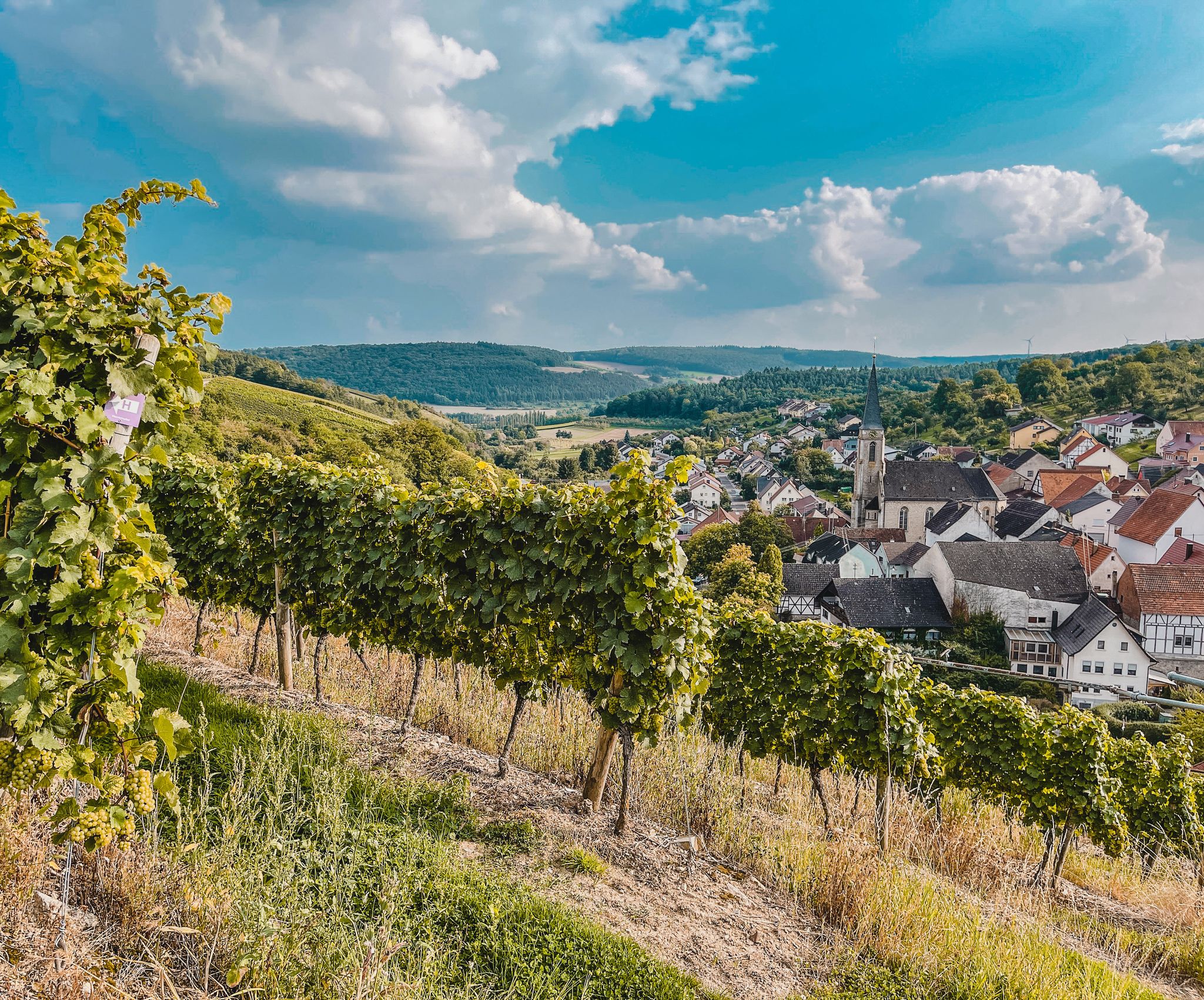
Hiking around Kreuzwertheim offers diverse landscapes for outdoor activities, characterized by its location on the Main River and at the edge of the Spessart Nature Park. The region features river valleys, extensive forests, and vineyards, providing varied terrain for hikers. The Main River forms a significant natural feature, including the "Himmelreich" nature reserve with its unique river loop. Trails often traverse old oak forests, Spessart meadows, and slopes along the Main River, which are also used for viticulture.
Best bus…
Last updated: June 27, 2026
4.7
(26)
116
hikers
4.81km
01:21
100m
100m
Easy hike. Great for any fitness level. Easily-accessible paths. Suitable for all skill levels.
4.8
(24)
66
hikers
4.57km
01:15
70m
70m
Easy hike. Great for any fitness level. Easily-accessible paths. Suitable for all skill levels.

Sign up for free
4.2
(13)
52
hikers
6.03km
01:45
150m
150m
Easy hike. Great for any fitness level. Easily-accessible paths. Suitable for all skill levels.
3.8
(5)
29
hikers
28.1km
07:44
460m
460m
Hard hike. Very good fitness required. Easily-accessible paths. Suitable for all skill levels.
4.4
(5)
17
hikers
8.37km
02:23
160m
160m
Moderate hike. Good fitness required. Easily-accessible paths. Suitable for all skill levels.
Get access to more routes and recommendations from other explorers.
Sign up for free
Already have an account?
Our route recommendations are based on thousands of hikes, rides, and runs completed by other people on komoot.
Start today with a free account
Your next adventure awaits.
Login or Signup
Other adventures around Kreuzwertheim


Tips from the Community

Beautiful view of the Main loop and the Himmelreich. Simply magnificent the entire Panoramahöhenweg.
2
0
Along the Höheweg, you always have a magnificent view of the Main, the Main loop, and the Himmelreich opposite. Highly recommended.
2
0
The old Main bridge to Kreuzwertheim was formerly a railway bridge. The steel structure with the rails was dismantled at the end of the 1980s. It can still be seen in old photographs.
3
0

A pleasure at any time of year, especially in the evenings
0
0

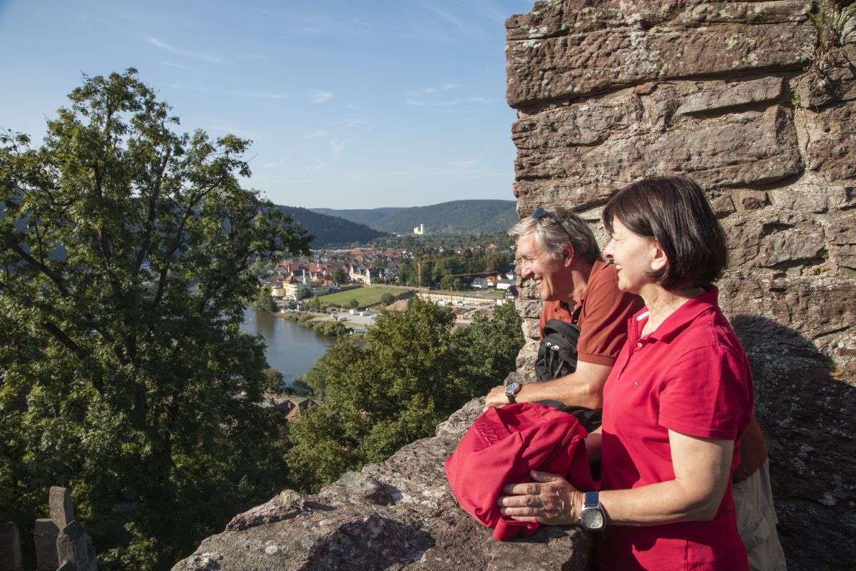
Wertheim Castle is the ruin of a hilltop castle on a high, narrow promontory between the two valleys of the Main and Tauber rivers above the town of Wertheim. It is one of the oldest castle ruins in Baden-Württemberg. Wertheim Castle was first documented in 1183 and, "starting from the upper castle, was expanded over several construction periods into a spacious castle complex until its destruction in the Thirty Years' War." The keep (around 1200) and the palace from the second third of the 13th century still stand from the upper castle. Adjacent to the palace is another residential building, in which remnants of an older structure have been preserved. The town was a "planned foundation at the foot of the castle." Construction of the city fortifications must have begun as early as 1200; they eventually enclosed the castle and town with a ring of walls. Source: Wikipedia
1
0
Wertheim Castle is the ruin of a hilltop castle on a high, narrow promontory between the two valleys of the Main and Tauber rivers above the town of Wertheim. It is one of the oldest castle ruins in Baden-Württemberg. Wertheim Castle was first documented in 1183 and, "starting from the upper castle, was expanded over several construction periods into a spacious castle complex until its destruction in the Thirty Years' War." The keep (around 1200) and the palace from the second third of the 13th century still stand from the upper castle. Adjacent to the palace is another residential building, in which remnants of an older structure have been preserved. The town was a "planned foundation at the foot of the castle." Construction of the city fortifications must have begun as early as 1200; they eventually enclosed the castle and town with a ring of walls. Source: Wikipedia
2
0
Eichel is home to what is believed to be the oldest church in the Main-Franken region of Baden, a fortified church dating back to the 9th century. Eichel was an independent municipality within the Tauberbischofsheim district until its incorporation into Wertheim in 1935. Since January 1, 1973, the village has been part of the Main-Tauber district. Source: Wikipedia
1
0
Wertheim Village is a factory outlet center located in the Almosenberg industrial park of Wertheim in the Main-Tauber district in northern Baden-Württemberg. The outlet center opened in 2003 at the Wertheim/Lengfurt junction of the A3 motorway and was gradually expanded in the following years. The outlet center welcomes up to 2.8 million visitors annually and, thanks to its location on the A3 motorway, has a nationwide catchment area, particularly in Frankfurt am Main, Würzburg, Nuremberg, and Mannheim. Approximately 3,500 parking spaces are available for visitors. With a total area of 27,000 square meters, Wertheim Village comprises approximately 110 stores with items from over 100 German and international brands in the fashion, beauty, and lifestyle sectors. Source: Wikipedia Website: https://www.wertheimvillage.com
1
0
Frequently Asked Questions
How many hiking trails are accessible from bus stations around Kreuzwertheim?
There are nearly 70 hiking trails around Kreuzwertheim that are easily accessible from bus stations. These routes offer a diverse range of experiences, from leisurely riverside strolls to more challenging forest paths.
Are there family-friendly hiking options near Kreuzwertheim's bus stops?
Yes, Kreuzwertheim offers many family-friendly hiking options. Over 30 of the routes are rated as easy, making them suitable for families with children. These often lead through vineyards or along the Main River, providing gentle terrain and scenic views. Consider the Kaffelstein Monument Viewpoint – Kaffelstein Archway loop from Wertheim for a pleasant, easy walk.
Can I bring my dog on the hiking trails around Kreuzwertheim?
Most trails in the Kreuzwertheim area are dog-friendly, offering plenty of natural spaces for your canine companion. The region's forests and riverbanks provide varied terrain for dogs to explore. Always remember to keep your dog on a leash where required and clean up after them.
Are there circular hiking routes available from bus stations?
Yes, many of the trails accessible from bus stations around Kreuzwertheim are circular routes, allowing you to start and end your hike at the same point without needing to retrace your steps. This is ideal for exploring the diverse landscapes of the Main River valley and the Spessart. The Kaffelstein Archway – View of Wertheim Castle loop from Wertheim is a great example of an easy circular route.
What kind of landscapes can I expect to see on these hikes?
The hikes around Kreuzwertheim offer a rich variety of landscapes. You'll encounter picturesque stretches along the Main River, including the stunning 'Himmelreich' nature reserve, dense old oak forests of the Spessart Nature Park, and charming vineyards like Kaffelstein. The region also features diverse meadows and impressive ancient trees, often crossing the natural state border between Baden-Württemberg and Bavaria.
What are some notable attractions or points of interest along the bus station hiking trails?
Many trails offer views of or pass by significant attractions. You might see the historic Wertheim Castle, the charming Wertheim Market Square, or enjoy scenic views of the vineyards along the Main Cycle Path. The area also features several interesting caves, such as the Schächerloch Cave, which can be explored on some routes.
What is the best time of year to go hiking in Kreuzwertheim?
Spring, summer, and autumn are generally the best times for hiking in Kreuzwertheim. Spring brings blooming nature, summer offers lush greenery and warm weather, and autumn transforms the forests and vineyards with vibrant colors. The Main River valley and Spessart forests are beautiful in all seasons, but check local weather conditions, especially for winter hikes.
Are there any challenging hikes accessible by bus?
While many routes are easy or moderate, there are also more challenging options for experienced hikers. The region offers trails with significant elevation changes, particularly those venturing deeper into the Spessart hills. For a longer, more demanding experience, consider the Wertheim Castle – Wertheim Castle loop from Kreuzwertheim, which is rated as difficult.
What do other hikers enjoy most about the trails in Kreuzwertheim?
The komoot community highly rates the hiking experiences around Kreuzwertheim, with an average score of 4.6 stars. Reviewers often praise the stunning views of the Main River and its loops, the tranquility of the Spessart forests, and the well-maintained paths that cater to various fitness levels. The blend of natural beauty and cultural landmarks like Wertheim Castle is also frequently highlighted.
Are there opportunities for refreshments or cafes along the hiking trails?
Yes, especially in and around Kreuzwertheim and the nearby town of Wertheim, you'll find various opportunities for refreshments. Many routes pass through or near villages with traditional inns, restaurants, or cafes where you can enjoy local cuisine and drinks. The vineyard areas also sometimes offer chances to sample local wines.
Can I find routes that offer great scenic viewpoints?
Absolutely. The topography of Kreuzwertheim, nestled between the Main River and the Spessart hills, provides numerous scenic viewpoints. Hikes through the Kaffelstein vineyard area, for instance, offer wonderful panoramic views of Wertheim and the Main River. Many trails also lead to elevated spots within the Spessart forest, revealing expansive vistas of the surrounding landscape.
Most popular routes around Kreuzwertheim
Most popular attractions around Kreuzwertheim

Get inspired with the komoot mobile app


Explore more
Browse the best Hikes in other regions.
