The best hikes from bus stations around Kirchhain
4.5
(1280)
6,789
hikers
179
hikes
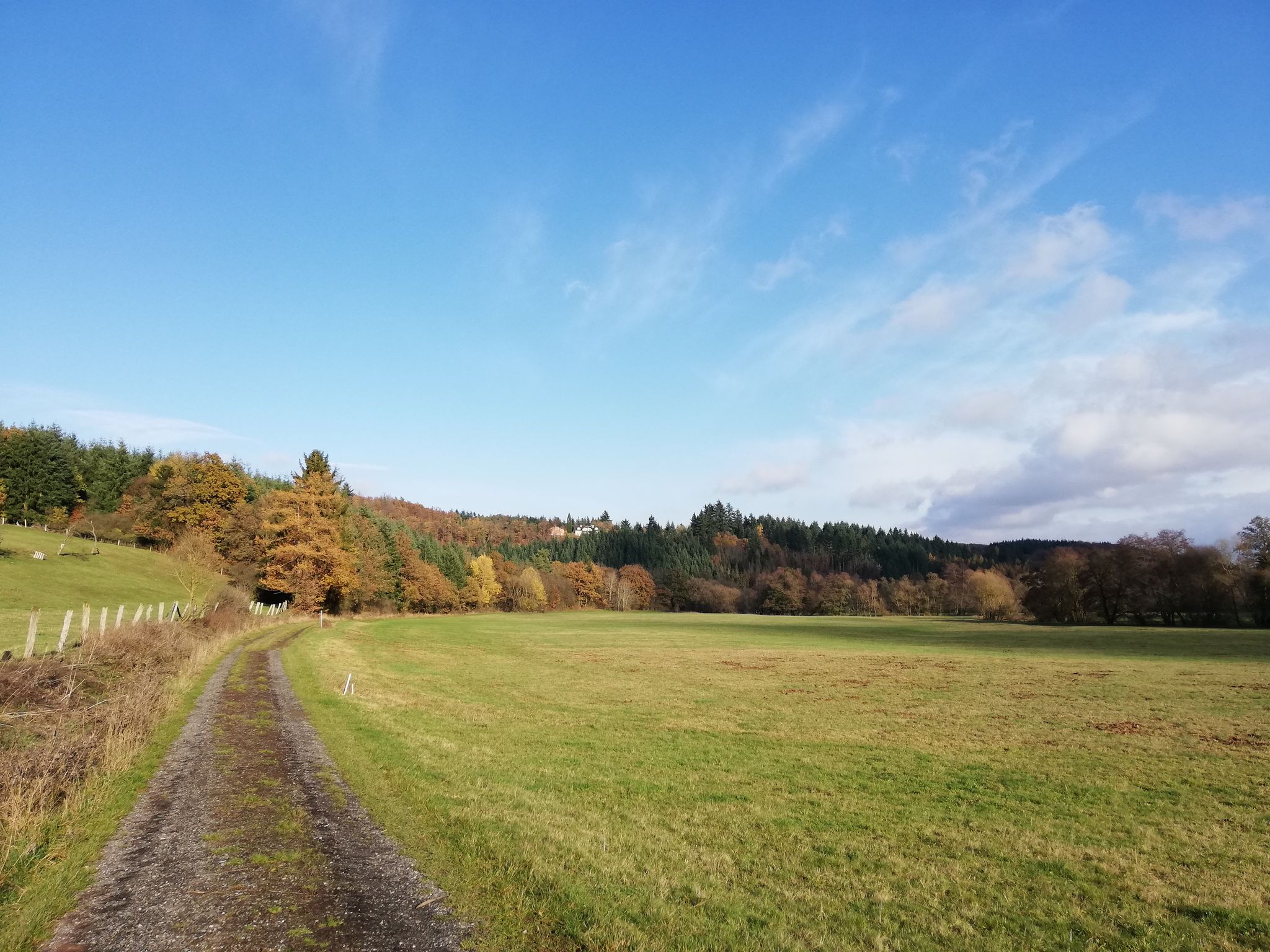
Hiking around Kirchhain offers a diverse landscape characterized by the extensive Burgwald forest, serene river valleys like the Wohra, and panoramic views stretching to the Amöneburg basin. The region features a mix of gentle paths along waterways and more elevated trails through woodlands and past hills. This varied terrain provides opportunities for exploring natural reserves and historical sites.
Best bus station hiking trails around Kirchhain
- The most popular bus station hiking route is Hunburg Tower – Dancing Linden of Himmelsberg…
Last updated: October 14, 2026
4.8
(58)
207
hikers
17.5km
04:58
370m
370m
Moderate hike. Good fitness required. Easily-accessible paths. Suitable for all skill levels.
4.8
(22)
86
hikers
4.49km
01:15
80m
80m
Easy hike. Great for any fitness level. Easily-accessible paths. Suitable for all skill levels.

4.6
(45)
143
hikers
11.9km
03:17
200m
200m
Moderate hike. Good fitness required. Easily-accessible paths. Suitable for all skill levels.
4.8
(12)
87
hikers
Easy hike. Great for any fitness level. Easily-accessible paths. Suitable for all skill levels.
4.1
(15)
52
hikers
11.8km
03:13
190m
190m
Moderate hike. Good fitness required. Easily-accessible paths. Suitable for all skill levels.
Get access to more routes and recommendations from other explorers.
Already have an account?
Our route recommendations are based on thousands of hikes, rides, and runs completed by other people on komoot.



Tips from the Community

Good opportunity for a break
0
0

Nothing's rocking here anymore. The "rocking stone" now stands upright next to the lying stone. What a pity. I specifically chose this route to see and try out this rock formation.
5
1
Here, along the path, stands a boundary stone dating from 1756, marking the border between the Landgraviate of Hesse-Kassel and the Electorate of Mainz. The stone is in exceptionally good condition.
5
0

Added to the collection: https://www.komoot.com/de-de/collection/3600632/-naturen-denkmaeler-besondere-baeume-und-weitere-schaetze-der-natur
0
0


The Puppach River feeds two old fishponds where a restaurant once stood—nature is reclaiming the area. It's nice that there's more information available locally.
1
0
Come closer and marvel at how such a formation can come about. It certainly won't fall on the hikers' feet.
0
0
In summer, the Drubba Oak, named after a forester, is sure to be a shady resting place. I wish the oak a few more decades of growth, so that its nameplate is not the only thing that distinguishes it from the many other similar oaks nearby.
0
0
Frequently Asked Questions
How many bus station hiking trails are available around Kirchhain?
There are over 180 hiking trails around Kirchhain that are easily accessible from bus stations. These routes cater to various fitness levels, offering plenty of options for exploration in the region.
Are there easy, family-friendly hiking routes accessible by bus in Kirchhain?
Yes, Kirchhain offers numerous easy and family-friendly routes accessible by bus. For example, the View of Amöneburg – Clay Extraction Site loop from Schönbach is an easy 4.5 km hike, perfect for a leisurely outing. Another great option is the Bench with a view of Erlensee – Dancing Leaves Sculpture loop from Kirchhain, which is just over 4 km and offers pleasant scenery.
What kind of natural features can I expect to see on bus-accessible hikes around Kirchhain?
The bus-accessible hikes around Kirchhain showcase the diverse natural beauty of the region. You can explore extensive woodland trails in the Burgwald Forest, serene routes along the Wohra river, and enjoy views towards the Amöneburg basin. The area is also home to natural monuments like the French Meadows / Red Water Nature Reserve.
Are there any circular hiking routes starting from bus stations in Kirchhain?
Absolutely. Many routes are designed as circular walks, making them convenient for public transport users. The Hunburg Tower – Dancing Linden of Himmelsberg loop from Burgholz is a moderate 17.5 km circular trail offering varied landscapes and historical points of interest.
What historical or cultural landmarks can I discover on hikes around Kirchhain?
Hiking trails around Kirchhain often lead past fascinating historical and cultural sites. You can find impressive structures like the Frauenberg Castle Ruins or Amöneburg Castle. The region also features routes like the Hatzbach Legend Route, which includes historic mills and legend stations, and the "Over Stock & Langenstein" trail, passing through the historic village center of Langenstein.
Are there any moderate or challenging hikes accessible by bus for more experienced hikers?
Yes, for those seeking more challenging routes, Kirchhain offers several options. The Mainzer Rad Boundary Stone – View of Dünsberg loop from Langenstein is a moderate 13.5 km hike with significant elevation changes. Another moderate option is the Hunburg Tower – Drubbaeiche Rest Area loop from Burgholz, covering nearly 12 km.
What do other hikers enjoy most about the bus-accessible trails in Kirchhain?
The komoot community highly rates the trails around Kirchhain, with an average score of 4.57 stars. Hikers frequently praise the quiet woodlands of the Burgwald, the well-marked paths, and the diverse scenery that includes river valleys, open fields, and panoramic viewpoints. The accessibility via public transport is also a significant plus for many.
Can I find scenic viewpoints on hikes accessible from bus stations?
Definitely! The region around Kirchhain is known for its scenic vistas. Many trails offer panoramic views of the Kellerwald, Rothaar Mountains, Knüll, and Vogelsberg. The Hunburg Tower and Frauenberg Castle Ruins provide fantastic viewpoints, and the "Dünsbergblick" rest area offers changing views of the Amöneburg basin.
Are there any lakes or reservoirs to visit on hikes near Kirchhain bus stations?
While the immediate vicinity of Kirchhain bus stations might not feature large lakes directly on every route, the region has beautiful water features. The Niederwald Reservoir offers a circular hiking trail with breathtaking views. You can also find highlights like the Aquapark at Niederweimarer See and the serene Bütteich Pond in the wider area, which can be incorporated into longer excursions.
What is the best time of year to hike around Kirchhain using public transport?
Kirchhain is beautiful year-round for hiking. Spring brings blooming nature, while summer offers lush green landscapes. Autumn is particularly stunning with vibrant fall colors in the Burgwald Forest. Even in winter, with appropriate gear, the trails can offer a peaceful and picturesque experience, especially if there's snow.
Are there options for refreshments or places to eat after a hike near Kirchhain bus stations?
Kirchhain and its surrounding villages offer various options for refreshments. Many routes pass through or near villages where you can find local cafes, bakeries, or restaurants to enjoy a meal or a drink after your hike. The region is known for its cozy rest areas, and some trails, like the Hatzbach Legend Route, specifically mention them.
Most popular routes around Kirchhain
Most popular attractions around Kirchhain

Get inspired with the komoot mobile app


Explore more
Browse the best Hikes in other regions.
