The best hikes from bus stations around Willingen (Upland)
4.6
(11053)
44,189
hikers
86
hikes
Bus station hiking trails around Willingen (Upland) traverse a varied landscape, encompassing elements from the Hochsauerland, Diemelsee Nature Park, and Waldecker Land. The region is characterized by rolling hills, dramatic valleys, and high mountain areas, including Langenberg at 843 meters. Hikers will find mixed forests, high heath areas, and numerous springs, offering diverse scenery. This area is recognized for its extensive network of trails, providing access to natural features and viewpoints.
Best bus station hiking trails around Willingen (Upland)
- The…
Last updated: October 10, 2026
4.6
(38)
125
hikers
6.88km
01:53
110m
110m
Hike the moderate 4.3-mile Vulkanpfad Welleringhausen loop in Diemelsee Nature Park, exploring volcanic history and enjoying Sauerland views
4.7
(100)
320
hikers
24.4km
07:01
590m
600m
Hard hike. Very good fitness required. Mostly accessible paths. Sure-footedness required.

4.7
(91)
274
hikers
Hard hike. Very good fitness required. Mostly accessible paths. Sure-footedness required.
4.8
(70)
236
hikers
13.3km
03:52
360m
360m
Moderate hike. Good fitness required. Easily-accessible paths. Suitable for all skill levels.
4.5
(59)
260
hikers
4.49km
01:19
130m
130m
Easy hike. Great for any fitness level. Easily-accessible paths. Suitable for all skill levels.
Get access to more routes and recommendations from other explorers.
Already have an account?
Our route recommendations are based on thousands of hikes, rides, and runs completed by other people on komoot.
Start today with a free account
Your next adventure awaits.
Popular around Willingen (Upland)
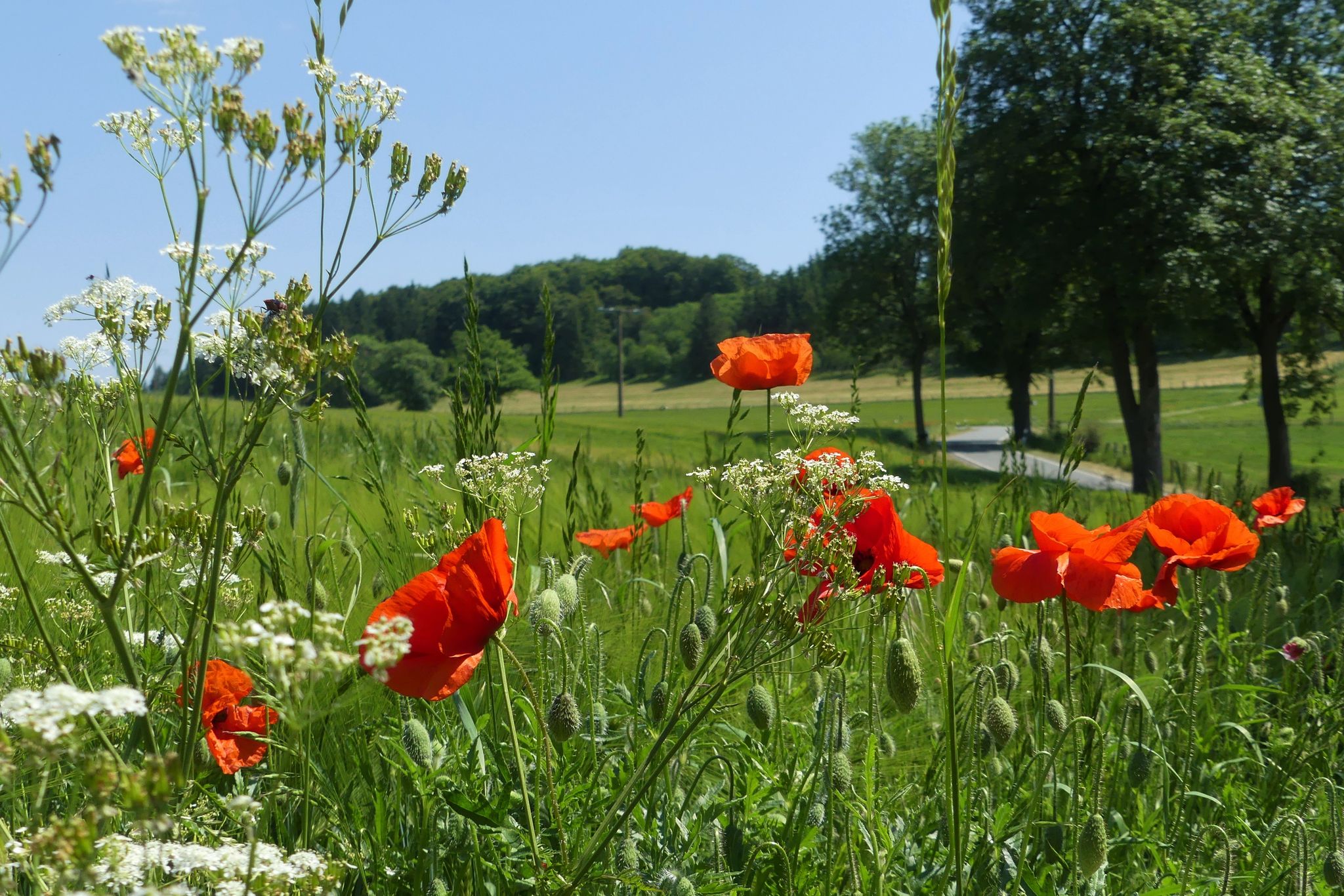
Hiking the Uplandsteig in North Hesse – From lively to lonely

Sauerland Trails – altitude, distant views, pure nature

Multi-day hikes in the Sauerland – eight trails, many unforgettable moments
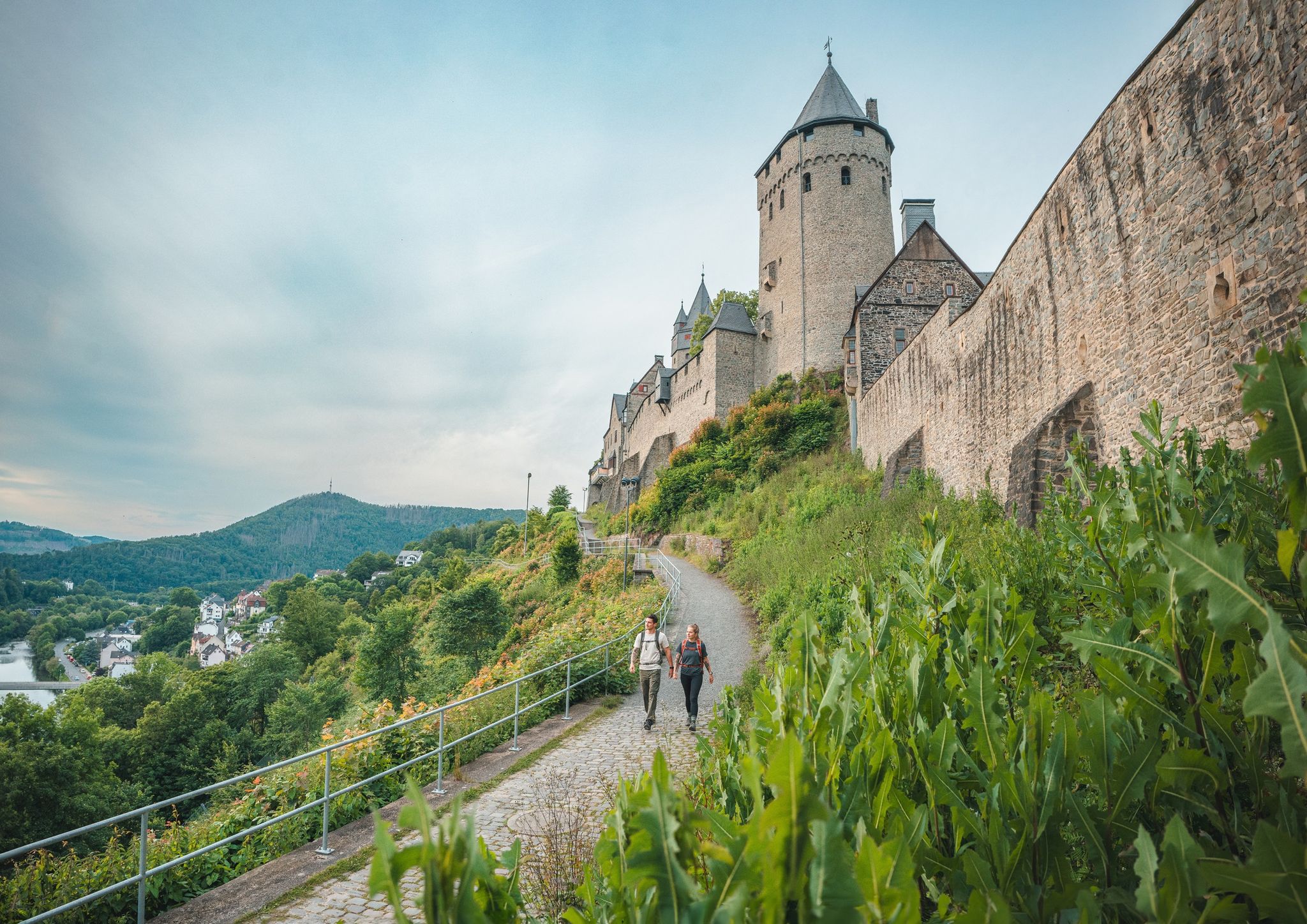
One Way Wanderlust: hiking in the Sauerland by public transport

#GoFurther – discover the views of Germany!
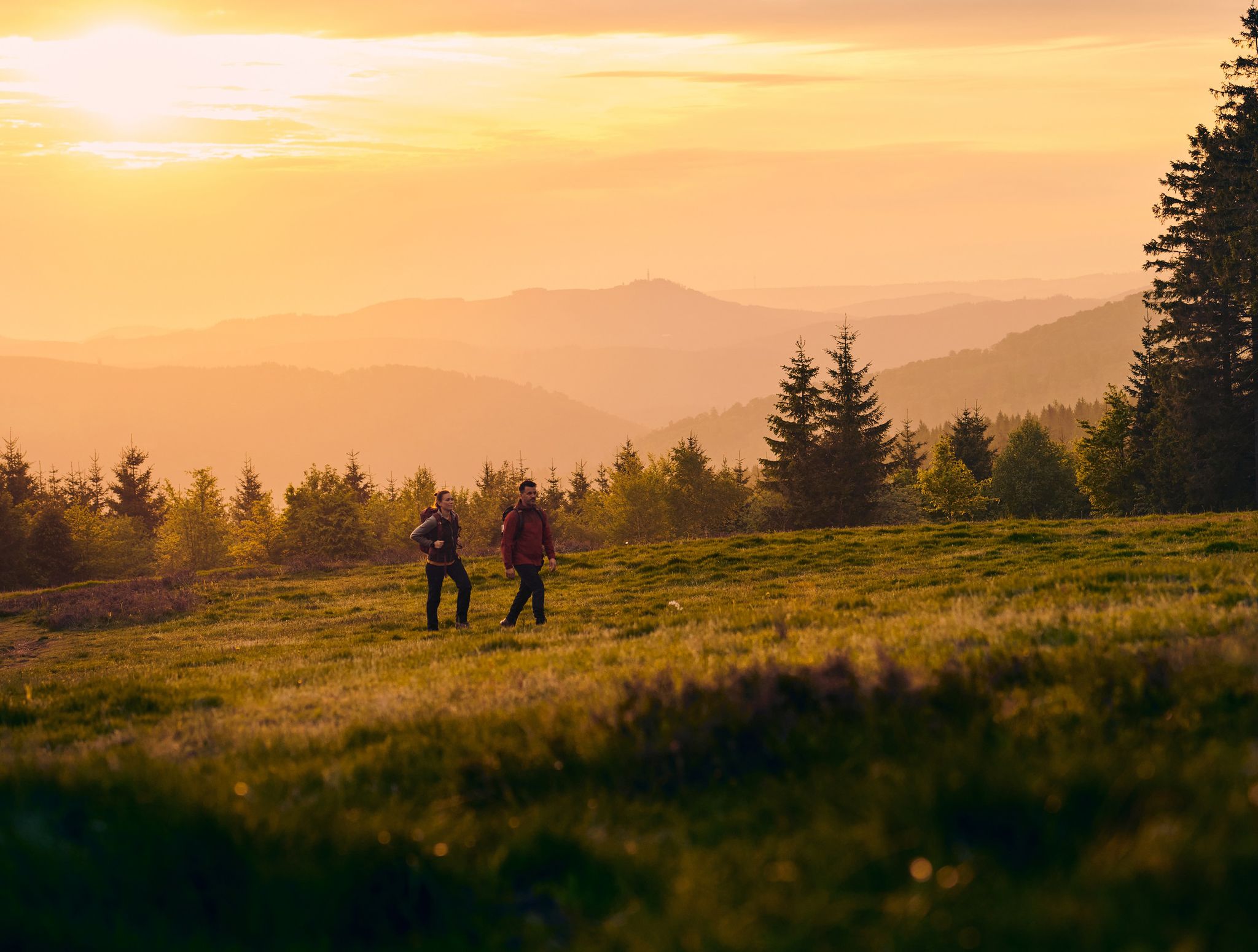
Rothaarsteig trail – long-distance hiking in the heart of Germany
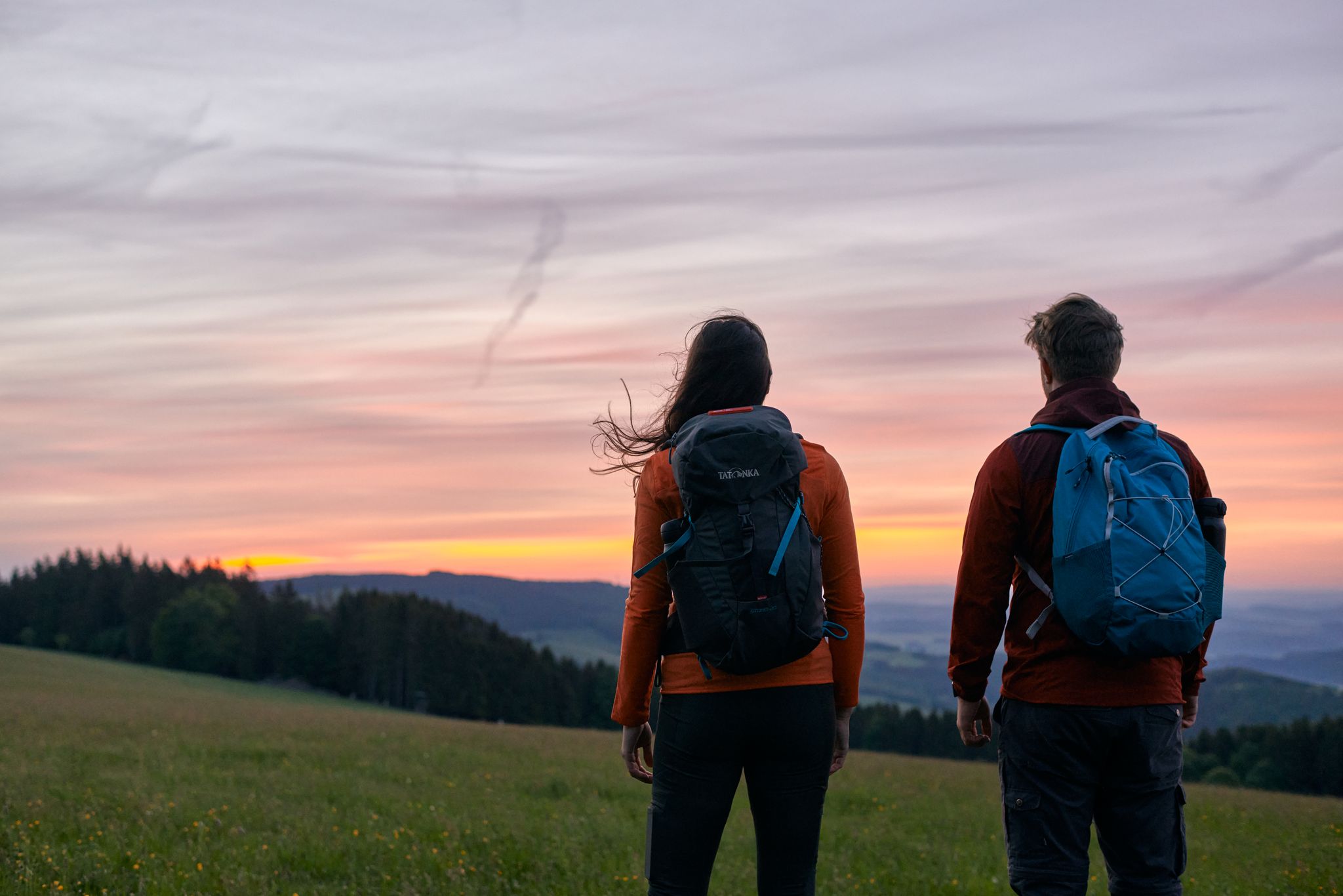
Hiking in Gemany’s Sauerland – the most beautiful multi–day Tours
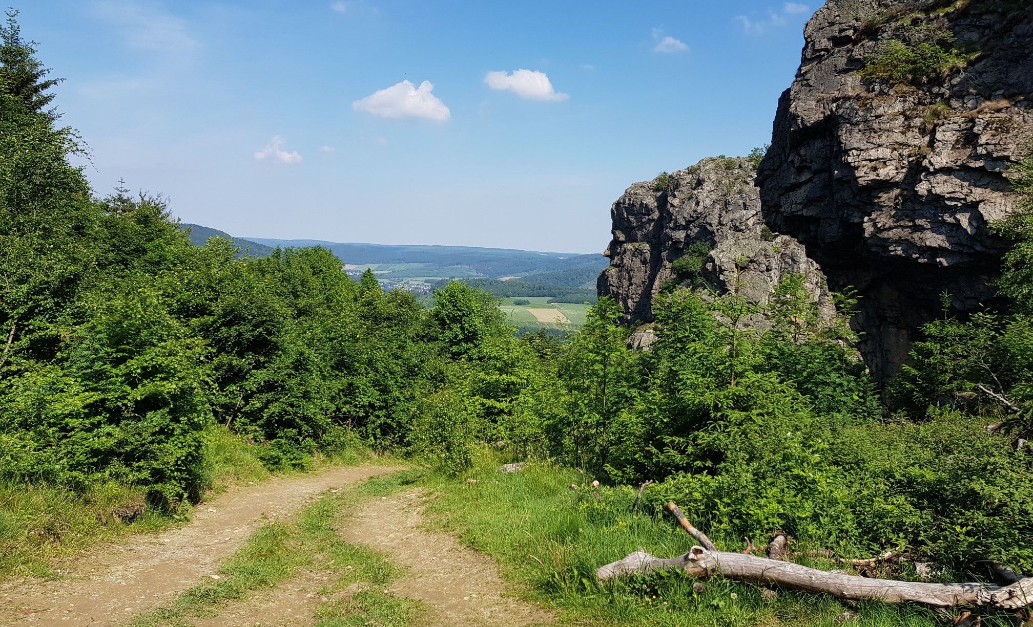
Hiking the Briloner Kammweg in Sauerland – forests and stone giants

Lowest to Highest (L2H) in Germany
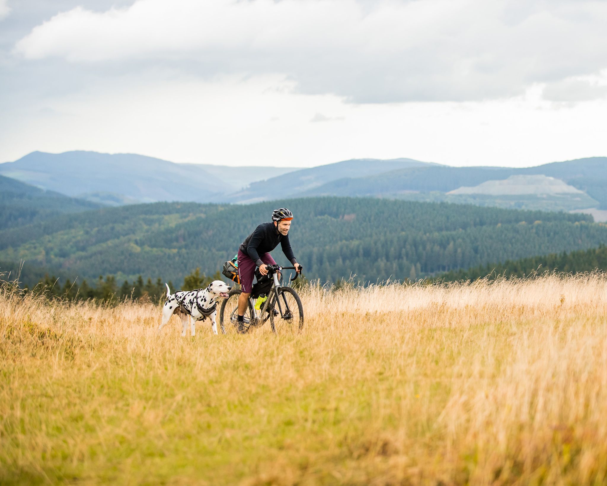
A fantastic adventure in Germany's Sauerland — bikepacking with a dog
Other adventures around Willingen (Upland)


Tips from the Community

A beautiful view! Definitely bring a camera
0
0

Nice to enjoy the view from here
2
0
Nice to enjoy the view from here
2
0
This is our first time here and we need to explore everything. There's so much to see here.
3
1

Detailed information about Osterkopf https://de.wikipedia.org/wiki/Osterkopf_%28Usseln%29?wprov=sfla1
0
0

Such views are part of a beautiful hiking trail.
2
0

I always enjoy coming back to Willingen for hikes. I particularly enjoy the guided hikes offered by the Willingen Hiking Association.
3
0

Refresh your feet 👣 after trampling ☺️
2
0
Frequently Asked Questions
How many hiking trails are accessible from bus stations in Willingen (Upland)?
There are over 80 hiking routes in Willingen (Upland) that are easily accessible from bus stations, offering a wide range of experiences for all skill levels. This includes more than 50 easy routes, 30 moderate, and a few challenging options.
Are there family-friendly hiking trails accessible by bus in Willingen (Upland)?
Yes, Willingen (Upland) offers many family-friendly routes accessible by bus. These trails often feature varied terrain, including forests and meadows, and are generally shorter and less strenuous. Look for routes marked as 'easy' for the best family experience.
What kind of terrain can I expect on bus-accessible hiking trails in Willingen (Upland)?
The region boasts incredibly varied terrain, from rolling hills and dramatic valleys to high mountain areas. You'll encounter mixed forests, beech forests, fir forests, high heaths, and moors. Many trails also lead past springs and along clear streams, offering diverse landscapes throughout your hike.
Are there any circular hiking routes that start and end at a bus station?
Yes, Willingen (Upland) is known for its extensive network of trails, including 39 marked circular routes. Many of these are designed to be accessible via public transport, allowing you to start and finish your hike conveniently at the same bus stop.
Can I bring my dog on hiking trails accessible by bus in Willingen (Upland)?
Generally, dogs are welcome on hiking trails in Willingen (Upland). However, it's always advisable to keep them on a leash, especially in nature reserves or areas with livestock. Check local regulations for specific trails or nature parks.
What are some notable natural features or landmarks I can see on these bus-accessible hikes?
Many trails offer access to stunning natural features and landmarks. You might encounter the Hochheideturm Observation Tower, offering panoramic views, or the Langenberg Summit (843 m), the highest point in North Rhine-Westphalia. The region also features the Diemel spring and various picturesque valleys.
Are there any challenging routes accessible from bus stations for experienced hikers?
While many bus-accessible routes are easy or moderate, there are also more challenging options. For instance, the View of Schwalefeld – Dommel Valley and Dommel Mill loop from Willingen (Upland) is a difficult route that can be accessed via public transport, offering significant elevation changes and longer distances.
What is the best time of year to hike in Willingen (Upland) from a bus station?
Willingen (Upland) is a year-round hiking destination. Spring brings blooming orchid meadows, summer offers lush forests, and autumn provides vibrant foliage. Even in winter, many trails are prepared for winter hiking, offering a unique snowy landscape experience. Your preference for scenery and weather will determine the 'best' time.
Are there any routes that pass by interesting historical sites or castles?
Yes, some trails may lead you near historical sites. For example, you might find routes that pass by the Borberg's Churchyard Ruins or the Schwalenburg ringwork and observation tower. These add a cultural dimension to your outdoor adventure.
What do other hikers enjoy most about the bus-accessible trails in Willingen (Upland)?
The komoot community rates hiking in Willingen (Upland) highly, with an average score of 4.6 stars. Reviewers often praise the well-maintained and clearly marked trails, the diverse and picturesque landscapes, and the excellent accessibility via public transport, making it easy to explore the region's natural beauty.
Can I find routes that offer panoramic views and viewpoints?
Absolutely. Willingen (Upland) is rich in viewpoints. Many bus-accessible trails lead to elevated spots like the View of the Ettelsberg reservoir and the Hochheideturm, or offer stunning vistas from peaks like Kahle Pön. The region's varied terrain ensures plenty of opportunities for breathtaking panoramic views.
Most popular routes around Willingen (Upland)
Most popular attractions around Willingen (Upland)

Get inspired with the komoot mobile app


Explore more
Browse the best Hikes in other regions.
