The best hikes from bus stations around Breuna
4.6
(6441)
23,958
hikers
72
hikes
Bus station hiking trails around Breuna traverse a landscape characterized by rolling hills, dense forests, and open fields within the Kassel Land region, bordering the Habichtswald Nature Park. The terrain includes varied elevation changes, from gentle paths to moderate ascents, offering diverse hiking experiences. Geological features such as the Helfensteine rock formations and the Scharfer Stein natural monument are present along some routes.
Best bus station hiking trails around Breuna
- The most popular bus station hiking route is Hollenkammer rock…
Last updated: June 27, 2026
4.8
(17)
48
hikers
22.1km
06:10
410m
410m
Hard hike. Very good fitness required. Easily-accessible paths. Suitable for all skill levels.
7
hikers
Moderate hike. Good fitness required. Easily-accessible paths. Suitable for all skill levels.

Sign up for free
5.0
(4)
17
hikers
Easy hike. Great for any fitness level. Easily-accessible paths. Suitable for all skill levels.
4.5
(2)
11
hikers
12.2km
03:18
170m
170m
Moderate hike. Good fitness required. Easily-accessible paths. Suitable for all skill levels.
5.0
(3)
14
hikers
7.16km
01:56
90m
90m
Easy hike. Great for any fitness level. Easily-accessible paths. Suitable for all skill levels.
Get access to more routes and recommendations from other explorers.
Sign up for free
Already have an account?
Our route recommendations are based on thousands of hikes, rides, and runs completed by other people on komoot.
Start today with a free account
Your next adventure awaits.
Login or Signup


Tips from the Community

In any case, you should go to the viewing platform in front of the barbecue hut and enjoy the wide view over the hilly landscape. A large board names the terrain elements.
3
0

You can also stop and marvel at the Huckershöhle.
11
1
The rock formation of the Hollenkammer is beautiful and impressive. It's relatively easy to climb from the rear.
11
0
The natural bridge is still easily accessible.
12
0

The steeply tilted rock cliff made of trochitic limestone is a natural monument.
3
0

Nice place to relax and enjoy
1
0

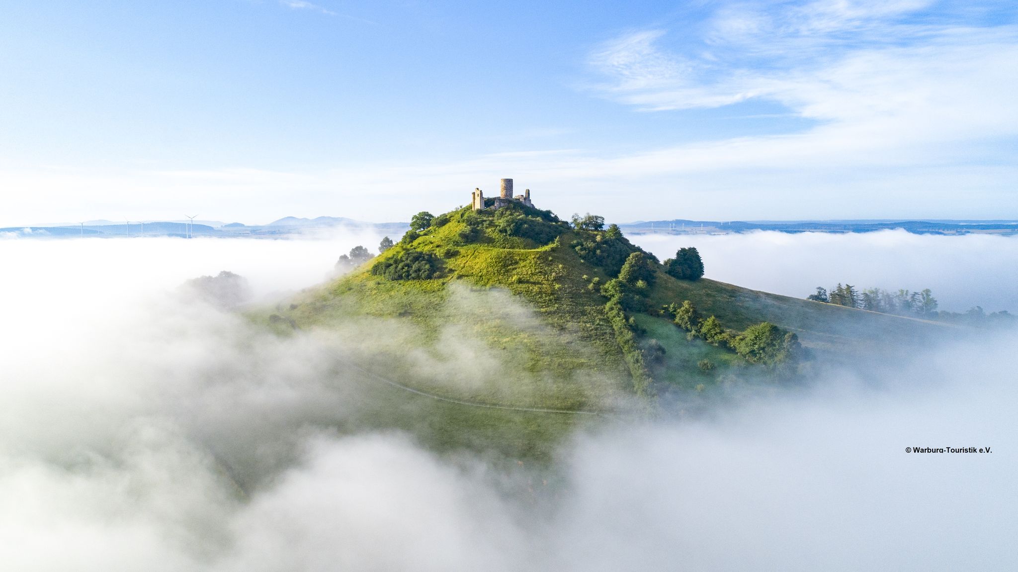
The basalt cone with its nutrient-poor grassland and orchards is a natural monument. To the north you can find old grazing trees and to the west there is an abandoned quarry with a barbecue area.
1
0
Frequently Asked Questions
How many bus-accessible hiking trails are available around Breuna?
There are over 75 bus-accessible hiking trails around Breuna, offering a wide range of options for different skill levels and interests. You'll find everything from easy strolls to more challenging routes through the diverse landscape.
What kind of terrain can I expect on bus-accessible hikes in Breuna?
The region around Breuna, bordering the Habichtswald Nature Park, features a diverse landscape of rolling hills, dense forests like the Breunaer Wald, and open fields. Trails vary from relatively flat paths to routes with moderate ascents, often passing by scenic rivers and geological features like the Scharfer Stein.
Are there any easy, short hikes accessible by bus from Breuna?
Yes, many trails are suitable for beginners or those looking for a shorter walk. For an easy option, consider the Rest area The Igelsbett – Grill Hut Oberlistingen loop from Niederlistingen, which is just under 5 km and takes about 1.5 hours. Another easy choice is the War Memorial – View of Warburg loop from Oberlistingen, which is around 7 km.
What interesting landmarks or natural attractions can I see on these trails?
Many bus-accessible routes offer glimpses of historical and natural highlights. You might encounter impressive rock formations like the Helfensteine, or geological peculiarities such as the Scharfer Stein. Historical landmarks include the Breunaer Warte, a medieval watchtower, and various castle ruins. For example, the Hollenkammer rock formation – Kugelsburg Castle Ruins loop from Rhöda takes you past the impressive Kugelsburg Castle Ruins.
Are there any circular hiking routes that start near a bus stop?
Absolutely. Many routes are designed as loops, making them convenient for public transport users. For instance, the Hoher Steiger – Hoher Steiger Summit loop from Breuna is a moderate 12 km circular trail starting directly from Breuna. The Gut Sieberhausen – Grill Hut Oberlistingen loop from Oberlistingen is another moderate circular option.
What is the best season for hiking around Breuna?
Breuna offers beautiful hiking experiences throughout the year. Spring and summer are ideal for enjoying the vibrant flora of the Breunaer Wald and open fields. Autumn provides stunning foliage, while winter hikes can be serene, especially through the forests. Always check local weather conditions before heading out.
Are the bus-accessible trails in Breuna suitable for families with children?
Yes, Breuna offers many family-friendly trails. The region's diverse terrain includes numerous easy to moderate paths that are well-maintained and accessible. Shorter loop trails, often with informational boards like those found on the Eco Pfad Breuna, can be particularly engaging for children.
Can I bring my dog on the hiking trails around Breuna?
Most hiking trails in the Breuna region are dog-friendly, allowing you to enjoy the natural beauty with your canine companion. However, it's always advisable to keep dogs on a leash, especially in nature reserves, near livestock, or in areas with wildlife. Please also ensure you clean up after your pet.
Are there any viewpoints along the bus-accessible hiking routes?
Yes, the rolling hills and varied topography of the Breuna region provide several opportunities for scenic viewpoints. Trails like the Extratour H9 ("Über die Höhen des Steigers") offer splendid distant views across the landscape. The Helfensteine rock formations also provide magnificent distant views for hikers.
What do other hikers say about the trails around Breuna?
The hiking trails around Breuna are highly rated by the komoot community, with an average score of 4.6 stars from over 6,000 ratings. Reviewers often praise the well-maintained paths, the diverse scenery ranging from dense forests to open fields, and the historical points of interest along the routes.
Are there places to stop for refreshments or a break along the trails?
Yes, some routes pass by facilities where you can take a break. For example, the Gut Sieberhausen – Grill Hut Oberlistingen loop from Oberlistingen includes the Grill Hut Oberlistingen. You may also find other huts and shelters, such as the Langenberg Shelter or the Emanuel Geibel Memorial Hut (Gebelhütte), along various routes.
Most popular routes around Breuna
Most popular attractions around Breuna

Get inspired with the komoot mobile app


Explore more
Browse the best Hikes in other regions.
