The best hikes from bus stations around Kartitsch
4.5
(1589)
9,939
hikers
20
hikes
Bus station hiking trails around Kartitsch are situated in East Tyrol, Austria, at an elevation of 1,356 meters above sea level. The region is characterized by its high alpine terrain, surrounded by the Lienz Dolomites to the north and the Carnic Alps to the south. Hikers can explore diverse landscapes, including mountain lakes, forests, and geological formations from the last Ice Age, offering varied terrain for all abilities.
Best bus station hiking trails around Kartitsch
- The most popular bus station hiking route is Ascent to Öfenspitze – Panoramic view of Kartitsch loop from Kartitscher Sattel, a 4.5 miles (7.3 km) trail that takes 3 hours 27 minutes to complete. This moderate route offers panoramic views of Kartitsch.
- Another top favourite among local hikers is View of the Tannwiesen – Picnic Area with Mountain View loop from Kartitscher Sattel, a moderate 7.3 miles (11.8 km) path. This trail features scenic views of the Tannwiesen and a mountain picnic area.
- Local hikers also love the Ascent Through the Winklertal – Lake Obstanser loop from Kartitsch, a 9.7 miles (15.7 km) trail leading through the Winklertal valley to Lake Obstans, often completed in about 7 hours 2 minutes.
- Hiking around Kartitsch is defined by high alpine landscapes, mountain lakes, and forested valleys, with options ranging from easy family routes to challenging multi-day treks. The network offers options for different ability levels, including certified winter hiking trails.
- The routes in Kartitsch are highly rated by the komoot community with an average score of 4.5 stars from over 1500 reviews. More than 9000 hikers have used komoot to explore Kartitsch's varied terrain.
Last updated: June 27, 2026
4.7
(11)
104
hikers
7.27km
03:28
770m
770m
Moderate hike. Good fitness required. Easily-accessible paths. Suitable for all skill levels.
4.8
(17)
103
hikers
Moderate hike. Good fitness required. Easily-accessible paths. Suitable for all skill levels.

Sign up for free
4.7
(14)
56
hikers
15.3km
06:53
1,080m
1,080m
Hard hike. Very good fitness required. Sure-footedness, sturdy shoes and alpine experience required.
4.7
(6)
51
hikers
9.01km
02:38
260m
260m
Moderate hike. Good fitness required. Easily-accessible paths. Suitable for all skill levels.
4.5
(4)
42
hikers
6.57km
01:57
190m
190m
Easy hike. Great for any fitness level. Easily-accessible paths. Suitable for all skill levels.
Get access to more routes and recommendations from other explorers.
Sign up for free
Already have an account?
Our route recommendations are based on thousands of hikes, rides, and runs completed by other people on komoot.
Start today with a free account
Your next adventure awaits.
Login or Signup
Popular around Kartitsch
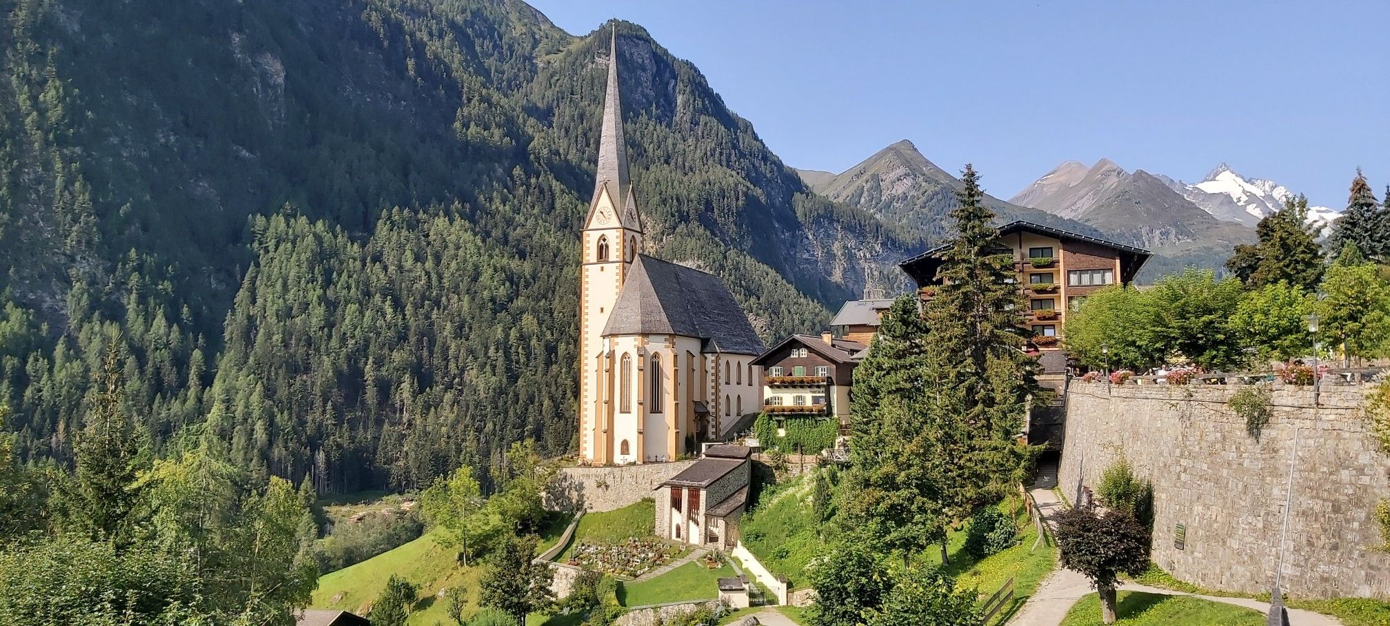
Austria's High & Holy Pilgrimage Trail – Walking across mountains and borders
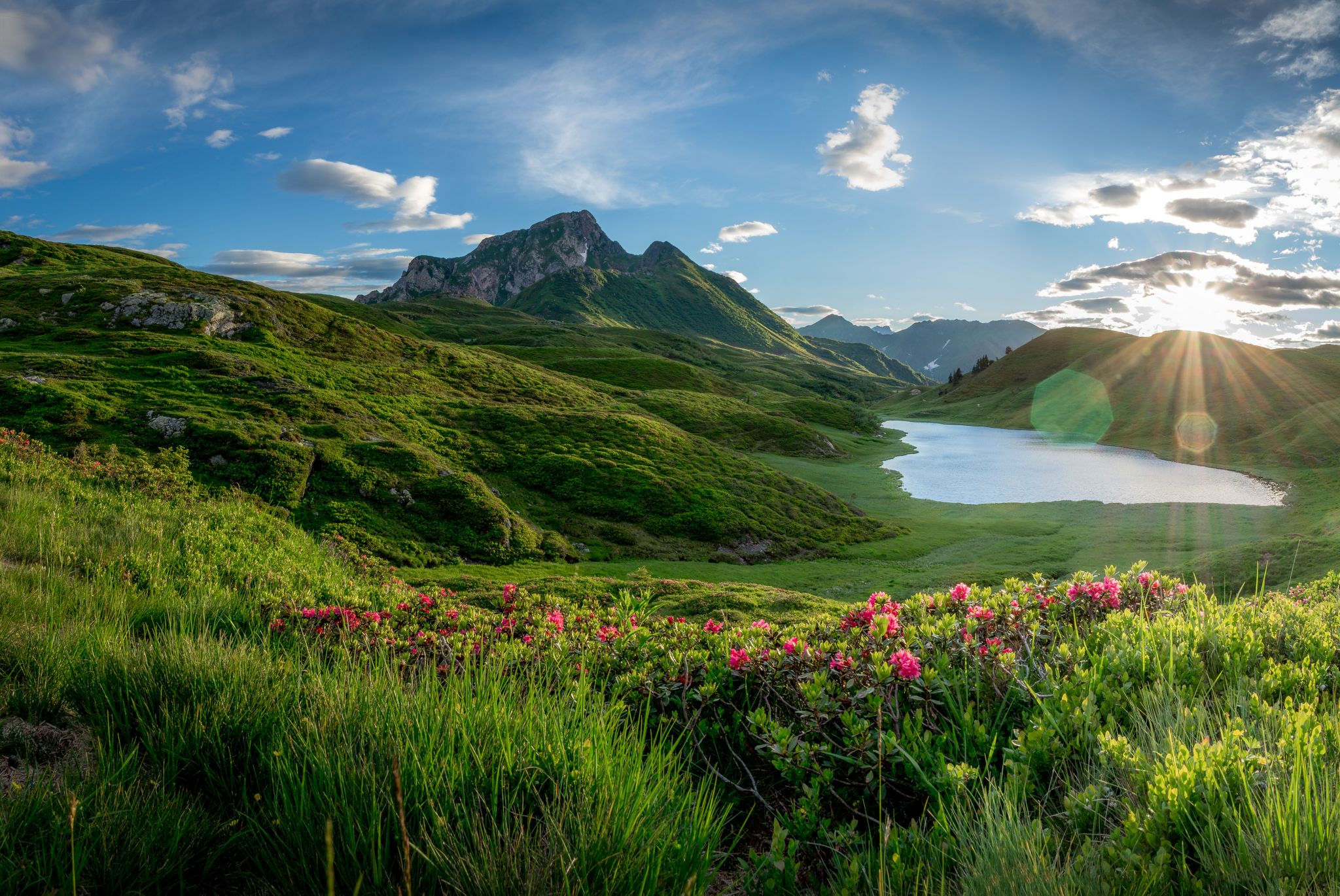
Southern Alpine Trail – Styrian vineyards and the Carnic Alps in Austria
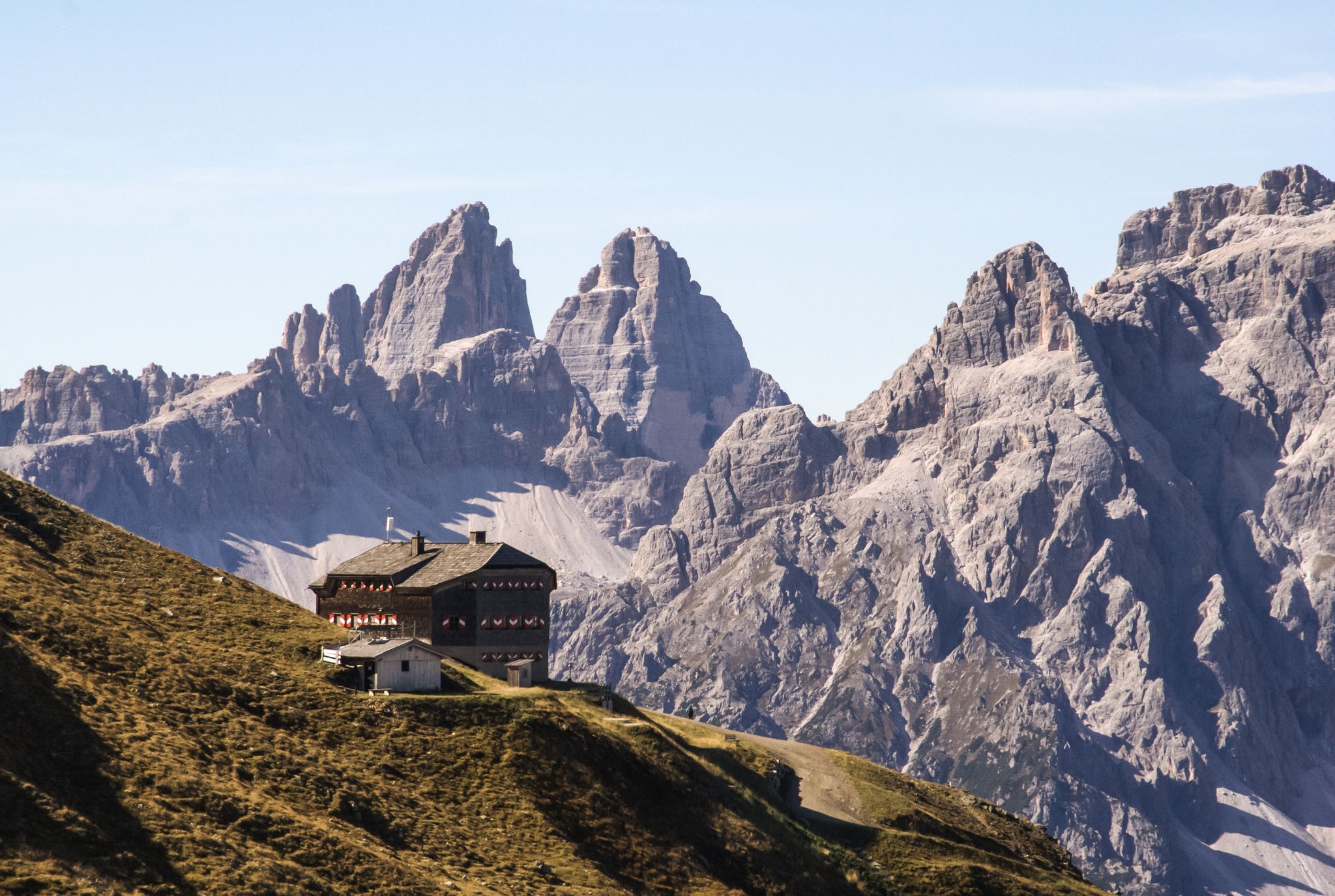
Alpine bliss on the long-distance hiking trails in East Tyrol
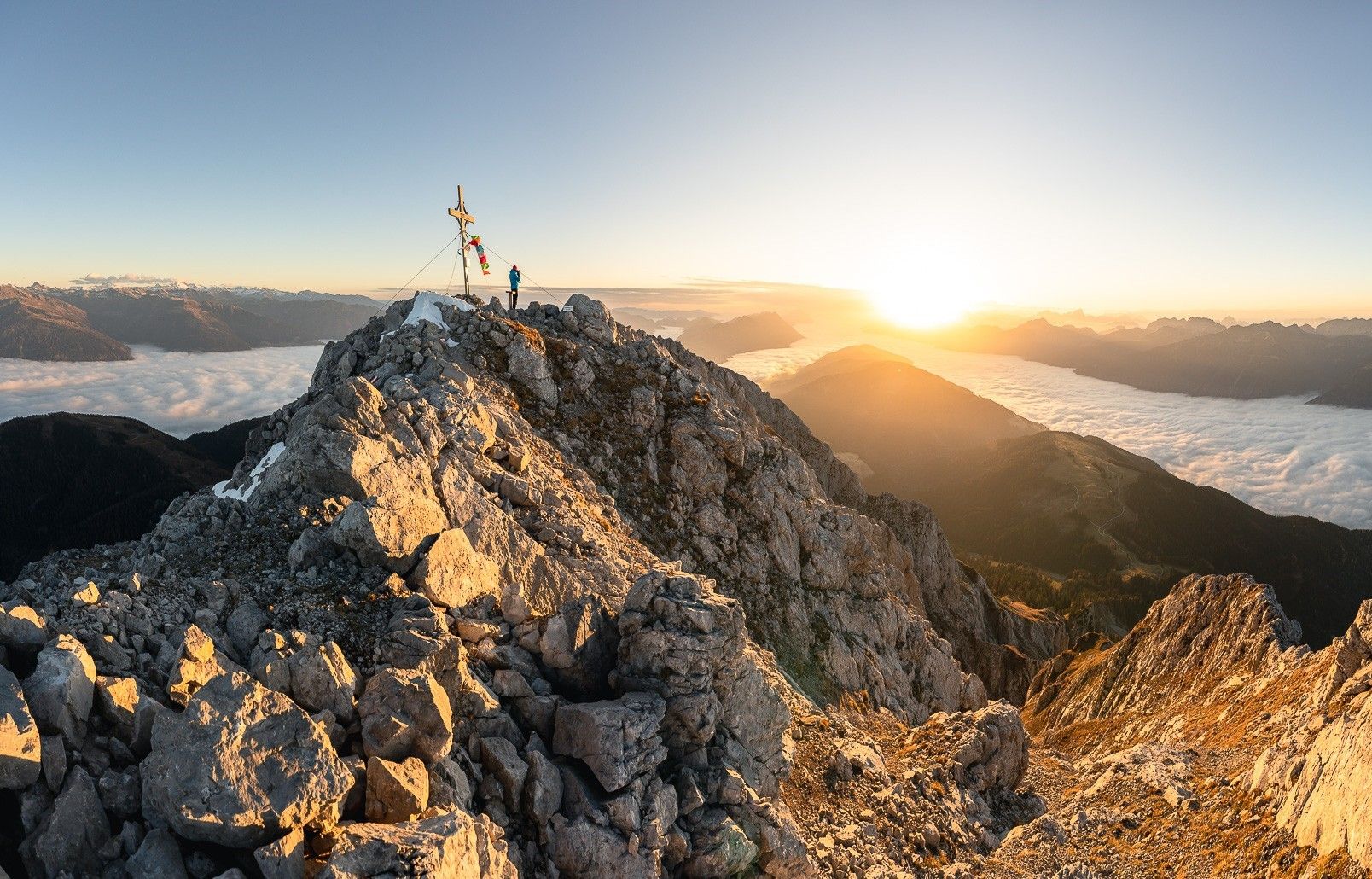
High up on the Gailtaler Höhenweg
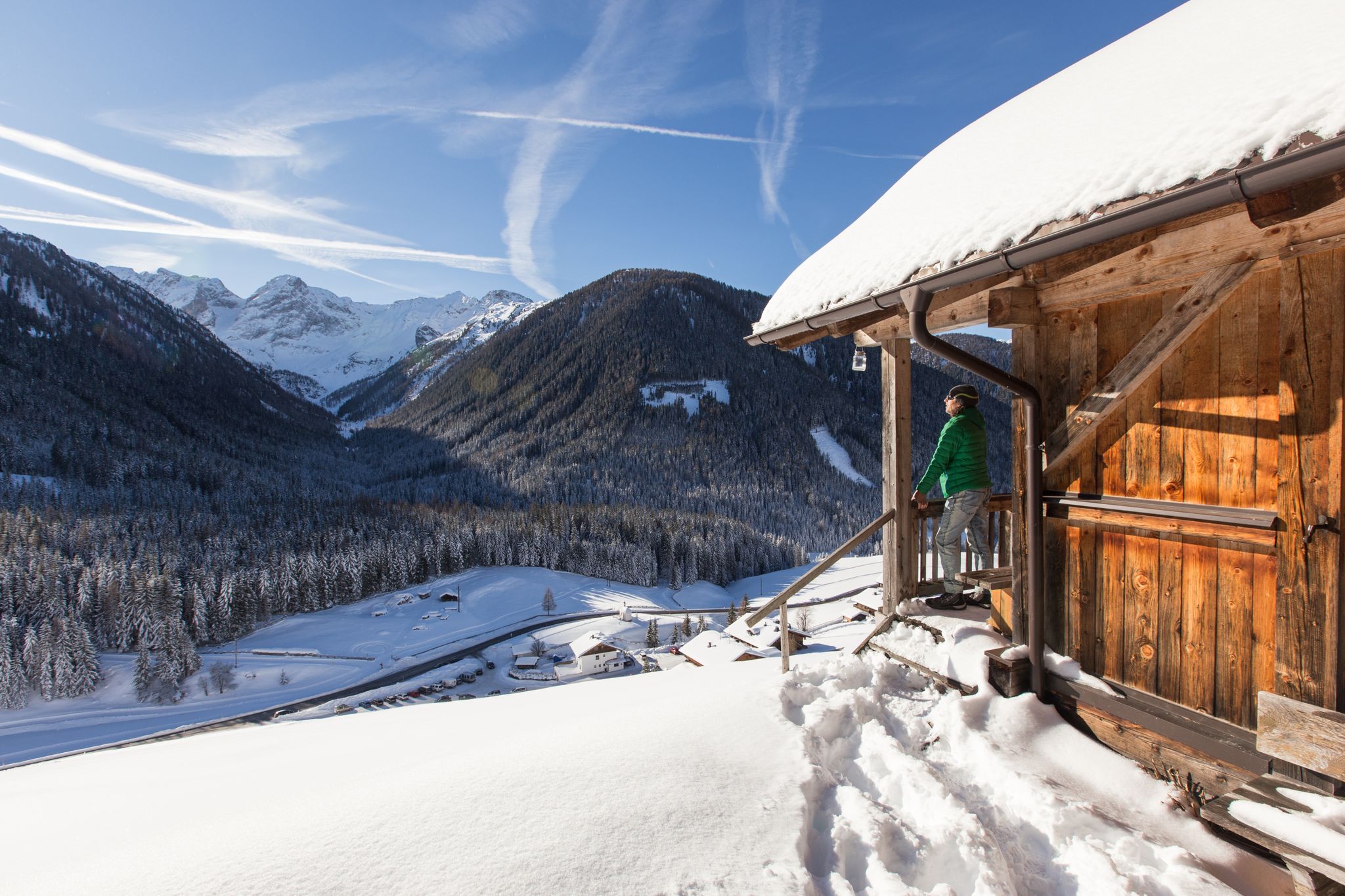
Winter highlights in Tyrol for everyone's taste
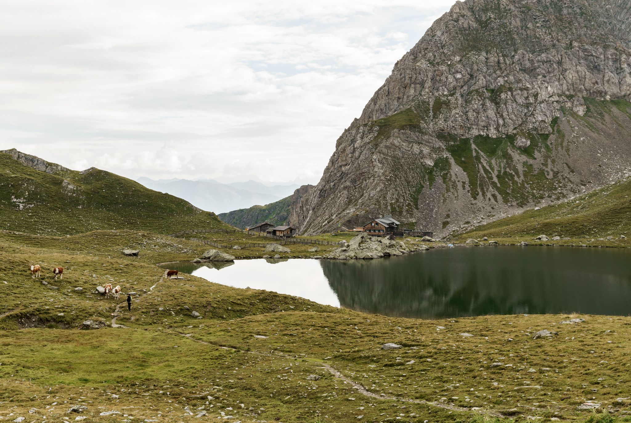
Ridge walking on the Carnic High Trail — Great Walks
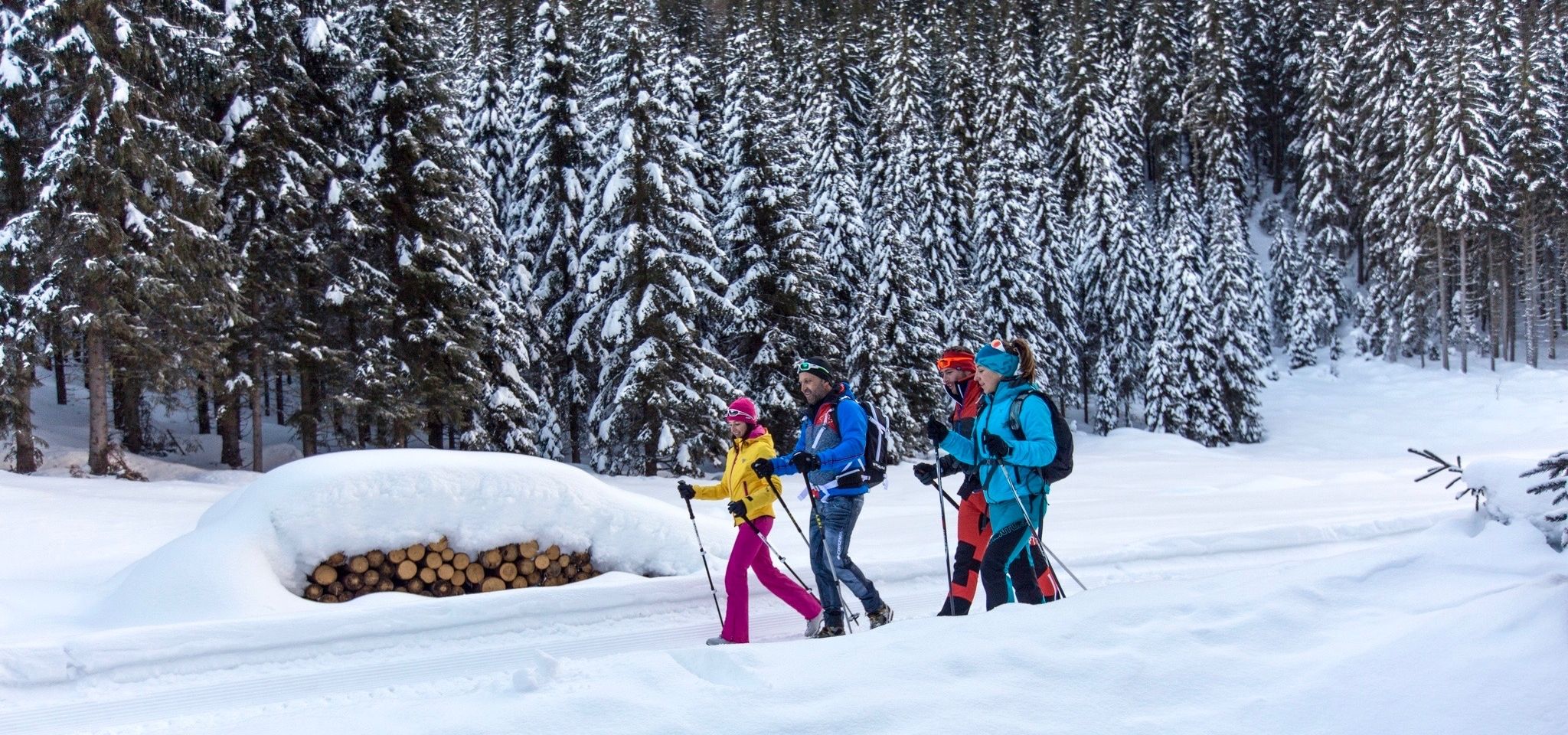
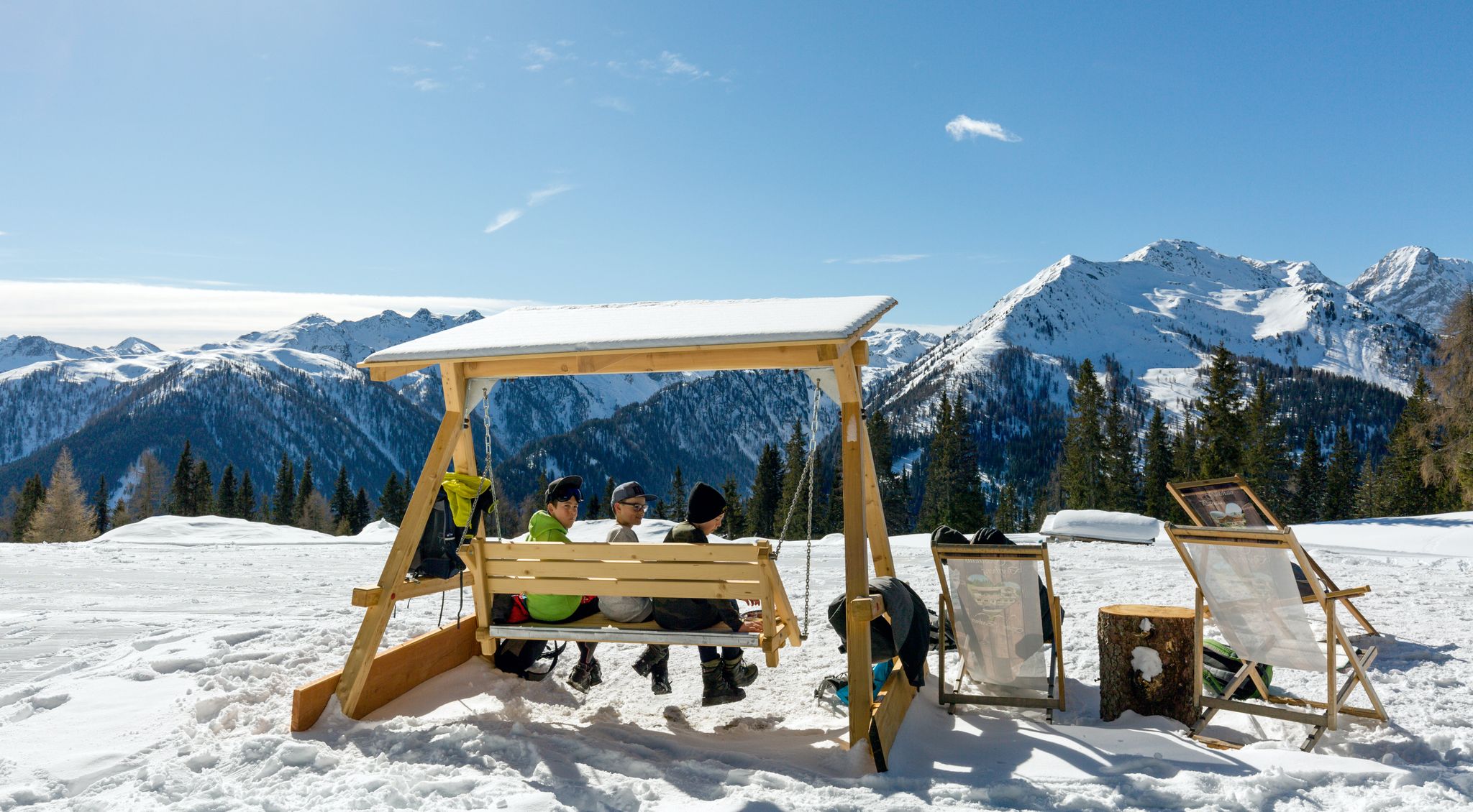
Nature experiences around the Winter Hiking Village Kartitsch
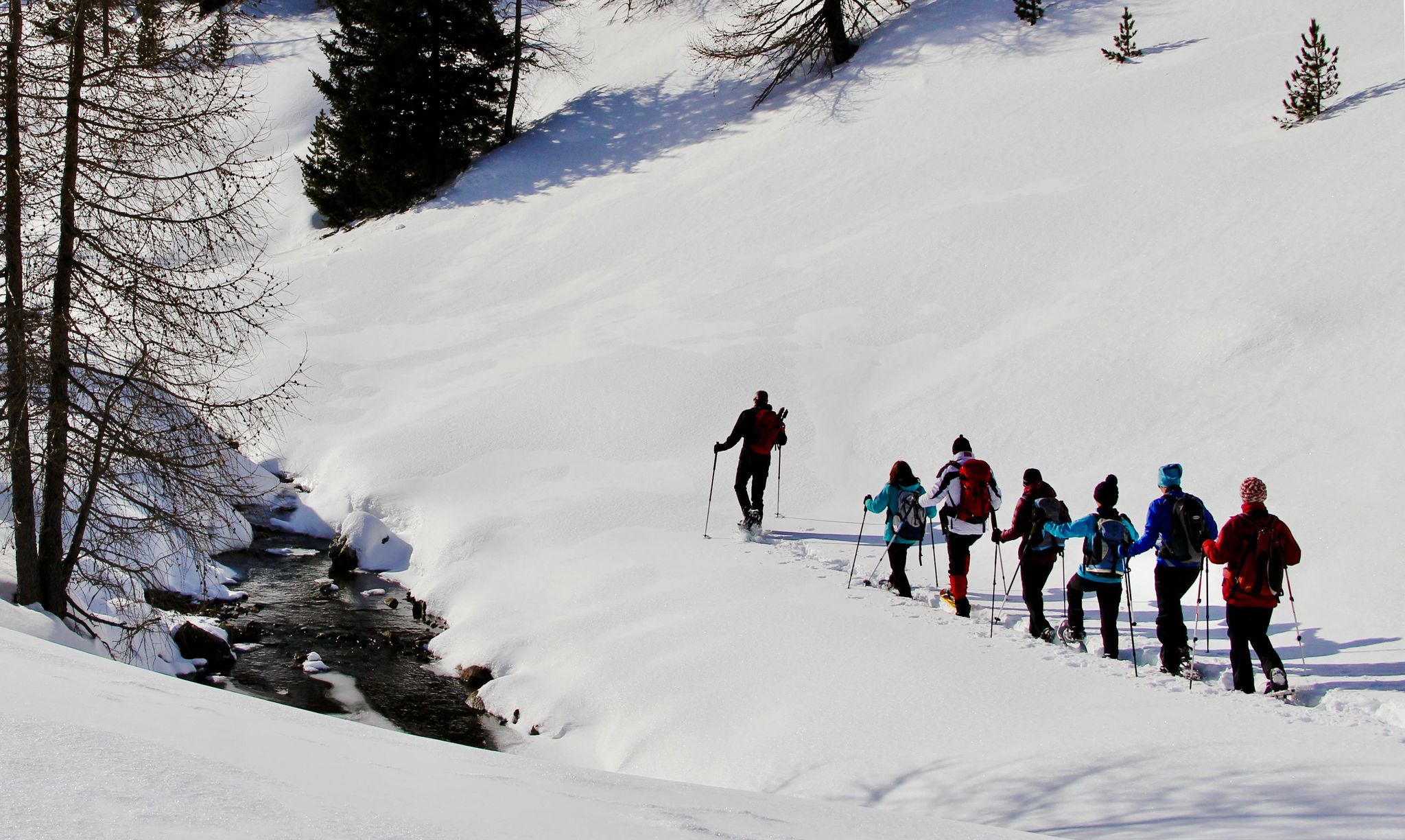
Snowshoe magic in East Tyrol
Herzliche Gastlichkeit & traditionelle Kulinarik – Winterwandern in Osttirol
Winterwandertage – gemeinsam Osttirol erleben
Other adventures around Kartitsch


Tips from the Community

The starting point is Kartitsch - Rauchenbach. From there you go along the forest path to the Gartler forest. Keeping right, you leave the forest path and climb over Seeland-Innerseeland on the ridge to the Öfenspitze or at the Seeland-Innerseeland junction turn right, following the markings to the summit cross of the Öfenspitze.
1
0

Very cozy cabin with a very pleasant atmosphere. You feel at home here. The beautiful lake invites you to swim. Thank you for your hospitality.
4
0

A feast for the eyes after climbing the stairs.
3
0
The Dorfberg is also great to climb with snowshoes in winter.
0
0
A hike to the Obstanser Boden is a great tour but tiring and this waterfall is only a welcome way to cool off when you see it.
0
0

This is a ray of hope after the climb.
3
0
You should have a certain bit more stamina and you should also like things like stairs.
2
0
Frequently Asked Questions
How many bus station hiking trails are available around Kartitsch?
There are over 20 hiking trails around Kartitsch that are easily accessible from bus stations, offering a variety of experiences for different skill levels. These routes allow you to explore the stunning landscapes of the Lienz Dolomites and Carnic Alps without needing a car.
Are there easy hiking trails accessible directly from bus stops in Kartitsch?
Yes, Kartitsch offers several easy hiking trails that are perfect for beginners or those looking for a relaxed stroll. An example is the Beehive – View of the Tannwiesen loop from Kartitscher Sattel, which is rated easy and starts conveniently from a bus-accessible point.
What kind of terrain can I expect on bus-accessible hikes in Kartitsch?
The terrain around Kartitsch is diverse, ranging from gentle paths through meadows and forests to more challenging ascents in alpine environments. You'll encounter well-maintained trails, some with moderate inclines, and others leading to higher elevations with rocky sections, especially on routes like the Ascent Through the Winklertal – Lake Obstanser loop from Kartitsch.
Are there circular hiking routes starting from bus stations in Kartitsch?
Absolutely. Many of the bus-accessible trails in Kartitsch are circular, allowing you to return to your starting point without retracing your steps. For instance, the Ascent to Öfenspitze – Panoramic view of Kartitsch loop from Kartitscher Sattel offers a rewarding circular experience with fantastic views.
Can I bring my dog on the hiking trails around Kartitsch that are accessible by bus?
Yes, many trails in the Kartitsch region are dog-friendly. It's generally recommended to keep dogs on a leash, especially in areas with livestock or wildlife. Always ensure you carry enough water for your pet and clean up after them. Specific regulations might apply in certain protected areas, so it's good to check local signage.
Are there any family-friendly bus station hikes in Kartitsch?
Kartitsch is known for its family-friendly options, including trails accessible by bus. Many routes offer gentle gradients and scenic views suitable for children. The region's status as Austria's first official winter hiking village also means many paths are well-maintained for easier walking, even in colder months.
What natural attractions or landmarks can I see on these bus-accessible trails?
The bus-accessible trails around Kartitsch offer access to stunning natural beauty and historical landmarks. You might encounter crystal-clear mountain lakes like Lake Obstans, which is a highlight on the Ascent Through the Winklertal – Lake Obstanser loop from Kartitsch. Other attractions include the Brüggele Waterfall and unique geological formations. For historical sites, you can explore highlights like Mitterberg Fortress or Heinfels Castle, which are part of the broader region's offerings.
Is Kartitsch suitable for winter hiking from bus stations?
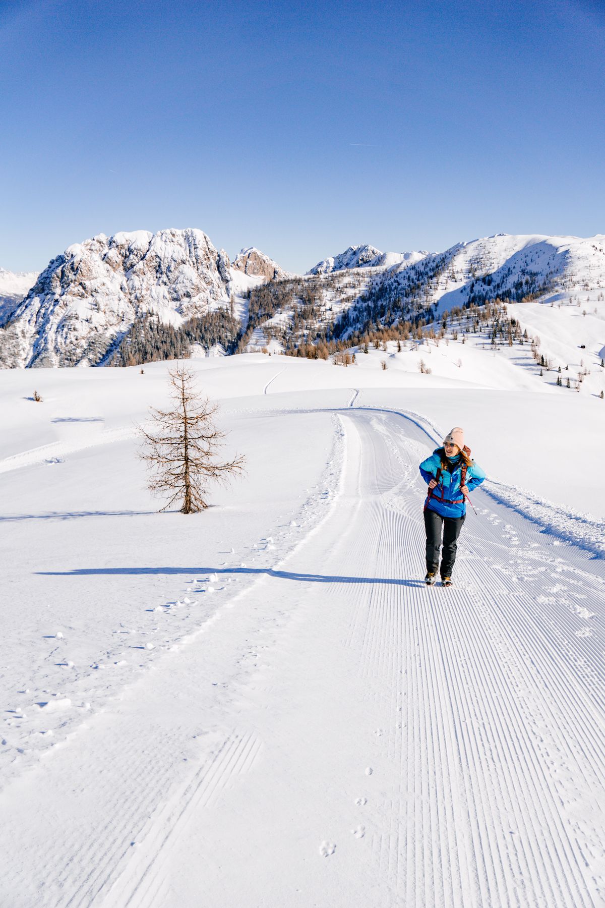
Kartitsch is Austria's first official winter hiking village, making it an excellent destination for winter hikes accessible by bus. Nine certified winter hiking trails are maintained and cleared throughout the colder months, offering beautiful snow-covered landscapes and crisp mountain air. Many bus routes continue to operate, providing access to these trails.
What do other hikers say about the bus station trails in Kartitsch?
The bus station trails in Kartitsch are highly rated by the komoot community, with an average score of 4.5 stars. Hikers frequently praise the breathtaking mountain panoramas, the well-maintained paths, and the convenience of accessing diverse routes directly from public transport stops. Many appreciate the variety, from easy strolls to more challenging alpine ascents.
Are there any viewpoints offering panoramic vistas on bus-accessible hikes?
Yes, Kartitsch is renowned for its panoramic views. Many bus-accessible routes lead to stunning vantage points overlooking the Lienz Dolomites and the Carnic Alps. The View of the Tannwiesen – Picnic Area with Mountain View loop from Kartitscher Sattel is a great example, offering picturesque scenes and a lovely spot for a break.
What is the best time of year to hike the bus station trails in Kartitsch?
Kartitsch offers excellent hiking opportunities year-round. Spring and summer provide lush green landscapes, wildflowers, and access to high alpine trails. Autumn brings vibrant colors and clear air, ideal for longer treks. As Austria's first winter hiking village, Kartitsch is also perfect for winter hiking, with well-maintained trails and snow-covered scenery.
Are there any routes that pass by historical sites or cultural landmarks?
While the focus is on natural beauty, some routes in the broader Kartitsch area touch upon historical significance. The Carnic High Route, for example, is known as the Peace Trail and passes by old war paths and the highest war cemetery in Central Europe. While not all bus-accessible routes directly feature these, the region is rich in history. The Chapel of the Black Madonna – Beehive loop from Tiroler Gailtal offers a cultural point of interest.
Most popular routes around Kartitsch
Most popular attractions around Kartitsch

Get inspired with the komoot mobile app


Explore more
Browse the best Hikes in other regions.
