The best hikes from bus stations around Außervillgraten
4.6
(6007)
32,017
hikers
16
hikes
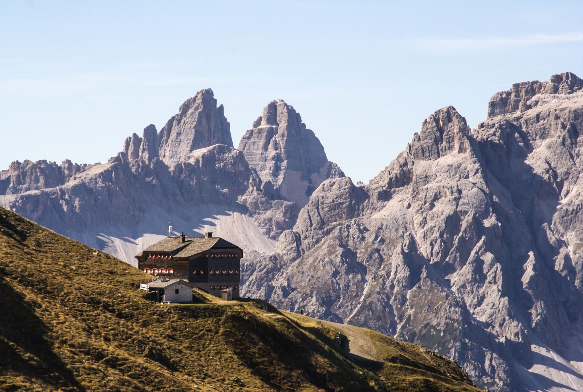
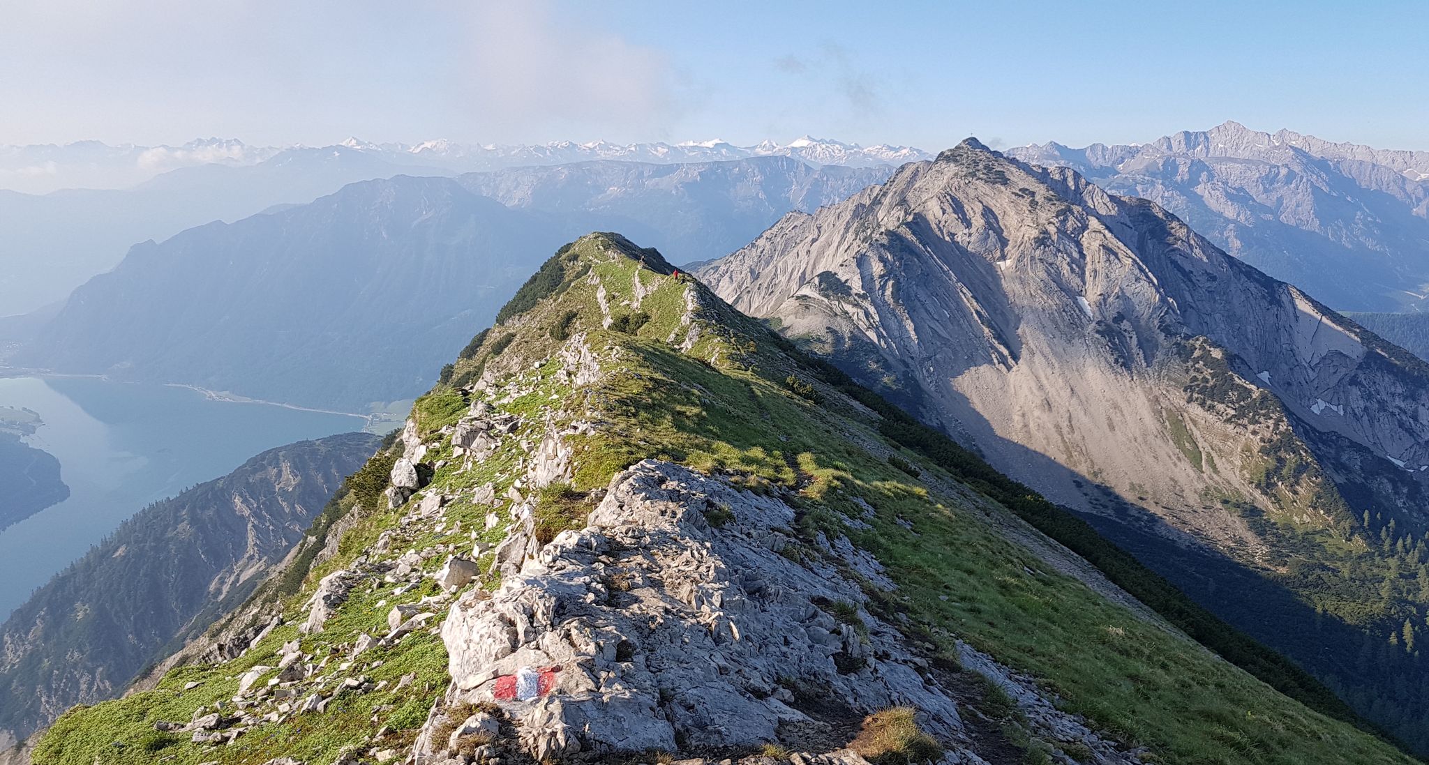
Bus station hiking trails around Außervillgraten offer access to the pristine natural and cultural landscapes of the Villgratental valley in East Tyrol. The region is characterized by the majestic Villgrater Mountains, with peaks approaching 3,000 meters, and lush alpine meadows dotted with rustic huts. Hikers can explore diverse terrain, from the family-friendly Thurntaler mountain to the "Nature Jewel" of the Winkeltal valley, providing views of the Carnic Alps and the Dolomites.
Best bus station hiking trails around Außervillgraten
- The most…
Last updated: July 10, 2026
4.6
(30)
149
hikers
Moderate hike. Good fitness required. Easily-accessible paths. Suitable for all skill levels.
5.0
(6)
40
hikers
Easy hike. Great for any fitness level. Easily-accessible paths. Suitable for all skill levels.

Sign up for free
4.3
(3)
23
hikers
Easy hike. Great for any fitness level. Easily-accessible paths. Suitable for all skill levels.
4.3
(3)
18
hikers
Moderate hike. Good fitness required. Easily-accessible paths. Suitable for all skill levels.
4.0
(2)
17
hikers
13.0km
04:51
870m
870m
Moderate hike. Good fitness required. Easily-accessible paths. Suitable for all skill levels.
Get access to more routes and recommendations from other explorers.
Sign up for free
Already have an account?
Our route recommendations are based on thousands of hikes, rides, and runs completed by other people on komoot.
Start today with a free account
Your next adventure awaits.
Login or Signup
Other adventures around Außervillgraten


Tips from the Community


The path is no longer really visible and is no longer intended to be used as a walking path given the fencing and the cows and bulls that walk there
0
0

The Volkeinzer Hut is located at the end of the Villgraten Valley / Winkeltal valley, surrounded by beautiful nature, it is the starting point for numerous mountain peaks and mountain lakes and an insider tip for gourmets. The hut owner cooks himself. Mainly game dishes (supplied by local hunters) Lamb dishes (around 700 lambs graze all around) The crispy pork ribs have become an insider tip Vegetarians are not left out either
1
0
The Mooshofalm is located on the Winkeltal hiking trail at about 1538m. On the left you can see the Maria Hilf Chapel with its artistic roof turret.
0
0

Strictly speaking, this is the Niederbrugger Alm.
0
0
The chapel is worth a closer look, the unusual tower top with 2 bells on the outside and the sky blue ceiling on the inside.
0
0
One of the many alpine pastures in the Winkeltal with an old architectural sin. The landlords of the Reiterstuben know: A private house, a product of the Spetzlwirtschaft in the 1960s 🙈🙉🙊
0
0
Small parking lot, rental toboggan, friendly people and delicious coffee and drinks
0
0
Frequently Asked Questions
How many bus station hiking trails are there in Außervillgraten?
There are 16 hiking trails accessible directly from bus stations around Außervillgraten. These routes offer a variety of experiences, from easy strolls to more challenging mountain ascents, all designed to be conveniently reached by public transport.
Are there easy hiking trails accessible by bus in Außervillgraten?
Yes, there are 4 easy hiking trails that you can start directly from a bus station. A great option for a relaxed walk is the Out and about in the Winkeltal – Mooshofalm with chapel loop from Schutzzone Gams/Steinbock, which takes you through the scenic Winkeltal valley to the charming Mooshofalm and its chapel. Another easy route is the Reiterstube in Winkeltal – Mooshofalm with chapel loop from Schutzzone Gams/Steinbock.
What kind of natural features can I expect to see on these bus-accessible hikes?
The bus-accessible hikes around Außervillgraten offer stunning natural beauty. You'll encounter the pristine landscapes of the Villgratental valley, known for its traditional alpine farming and lush meadows. Many trails provide breathtaking views of the surrounding Villgrater Mountains, the Carnic Alps, and the South Tyrol and Lienz Dolomites. The Winkeltal valley, a 'Nature Jewel,' is also accessible, featuring streams and unique alpine flora.
Are there any circular walks available from bus stops?
Yes, many of the bus-accessible routes are circular, allowing you to return to your starting point without retracing your steps. For example, the Out and about in the Winkeltal – Volkzeiner Hütte loop from Schutzzone Gams/Steinbock is a moderate circular hike that explores the beautiful Winkeltal valley.
What are some family-friendly hiking options accessible by bus?
For families, the easy routes in the Winkeltal valley are ideal. The Out and about in the Winkeltal – Mooshofalm with chapel loop from Schutzzone Gams/Steinbock is a gentle option, leading to the Mooshofalm where children can enjoy the alpine surroundings. The region's focus on unspoiled nature and traditional huts makes it a wonderful place for families to explore together.
Can I bring my dog on these bus station hiking trails?
Most hiking trails in the Außervillgraten region are dog-friendly, provided your dog is kept on a leash, especially in areas with grazing livestock or wildlife. Always ensure your dog is well-behaved and that you carry waste bags. Specific restrictions might apply in nature reserves, so it's always good to check local signage.
What is the best time of year to hike from bus stations in Außervillgraten?
The best seasons for hiking in Außervillgraten are spring and summer. During these months, the meadows are vibrant with green, flowers are in bloom, mountain lakes are clear, and temperatures are pleasant, making for an enjoyable outdoor experience. Many bus routes operate more frequently during the peak tourist season.
Are there any interesting landmarks or attractions along these routes?
Yes, several routes pass by charming landmarks. You can visit the Maria-Hilf Chapel near the Mooshofalm, which is featured on the Out and about in the Winkeltal – Mooshofalm with chapel loop from Schutzzone Gams/Steinbock. The region also boasts traditional rustic huts, some centuries old, offering a glimpse into local heritage. For more attractions, consider exploring nearby waterfalls like the Stallenbach Waterfall or historical sites such as Heinfels Castle, which are accessible from other regional guides.
Are there viewpoints with panoramic vistas accessible from bus stops?
Absolutely. Many trails offer incredible panoramic views of the surrounding mountain ranges. The region is known for its vistas of the Villgrater Mountains, the Carnic Alps, and the South Tyrol and Lienz Dolomites. While not directly listed as a bus route, the Thurntaler mountain, a popular family hiking area near Außervillgraten, offers magnificent panoramic views stretching even to Austria's highest peak, the Grossglockner, and can be reached via local transport connections.
What do other hikers enjoy most about hiking in Außervillgraten?
The area is highly rated by the komoot community, with an average score of 4.6 stars. Reviewers often praise the unspoiled natural landscapes, the tranquility of the Villgratental valley, and the diverse range of trails suitable for all levels. The traditional alpine huts and the stunning panoramic views of the Dolomites are frequently highlighted as memorable aspects of the hiking experience.
Are there any routes that lead to alpine huts or places to eat?
Yes, several routes lead to or pass by traditional alpine huts where you can often find refreshments. The Out and about in the Winkeltal – Volkzeiner Hütte loop from Schutzzone Gams/Steinbock, for instance, includes the Volkzeiner Hütte. The Mooshofalm, accessible via the Out and about in the Winkeltal – Mooshofalm with chapel loop from Schutzzone Gams/Steinbock, is another popular spot for a break.
How long are the typical bus-accessible hikes in Außervillgraten?
The duration of bus-accessible hikes varies. You can find shorter, easy walks like the Reiterstube in Winkeltal – Mooshofalm with chapel loop from Schutzzone Gams/Steinbock, which takes around 1 hour 15 minutes. Moderate routes, such as the Tessenberger Lake – Tessenberg Cross loop from Außervillgraten, can take over 4 hours, offering longer excursions into the landscape.
Most popular routes around Außervillgraten
Most popular attractions around Außervillgraten

Get inspired with the komoot mobile app


Explore more
Browse the best Hikes in other regions.
