The best hikes from bus stations around Kirchbach
4.5
(9651)
51,027
hikers
15
hikes
Bus station hiking trails around Kirchbach are situated in Carinthia, Austria, nestled between the Gailtal Alps and the Carnic Alps. The region features dramatic mountain ranges, rugged rocks, and extensive alpine meadows, with the Gail River flowing through the area offering serene paths. Diverse ecosystems and geological formations, such as the Garnitzenklamm Gorge, contribute to a varied landscape for hikers. An extensive network of trails ranges from 600 to 2,300 meters in altitude.
Best bus station hiking trails around Kirchbach
…Last updated: June 27, 2026
4.0
(1)
30
hikers
13.7km
05:03
890m
890m
Hard hike. Very good fitness required. Easily-accessible paths. Suitable for all skill levels.
4.8
(4)
18
hikers
19.4km
06:17
890m
890m
Hard hike. Very good fitness required. Easily-accessible paths. Suitable for all skill levels.

Sign up for free
5.0
(6)
14
hikers
Moderate hike. Good fitness required. Easily-accessible paths. Suitable for all skill levels.
3.3
(3)
8
hikers
Moderate hike. Good fitness required. Easily-accessible paths. Suitable for all skill levels.
4.0
(4)
8
hikers
Moderate hike. Good fitness required. Easily-accessible paths. Suitable for all skill levels.
Get access to more routes and recommendations from other explorers.
Sign up for free
Already have an account?
Our route recommendations are based on thousands of hikes, rides, and runs completed by other people on komoot.
Start today with a free account
Your next adventure awaits.
Login or Signup
Popular around Kirchbach
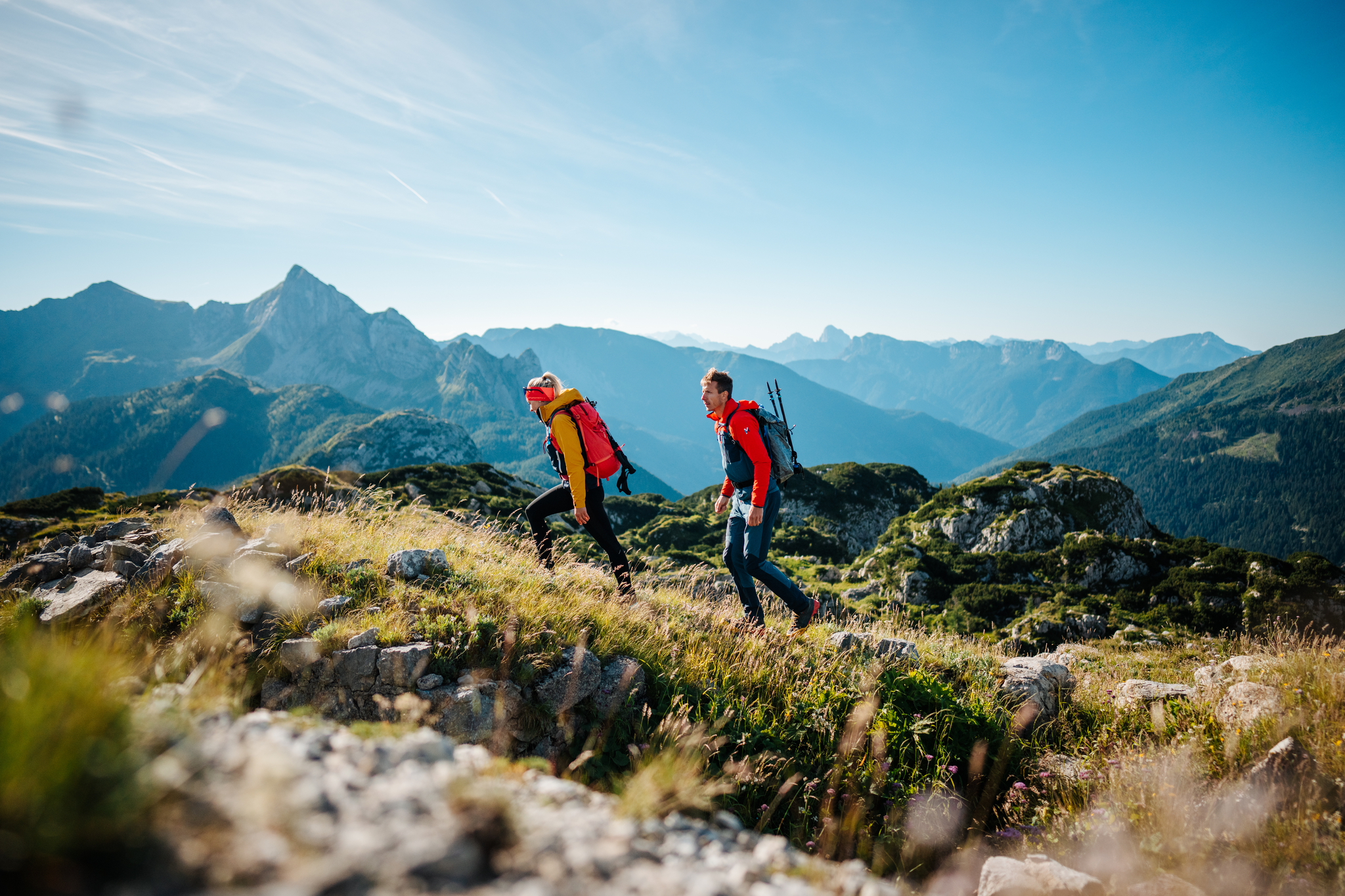
The Milky Way on the Carnic High Route – hiking the alpine cheese dairies
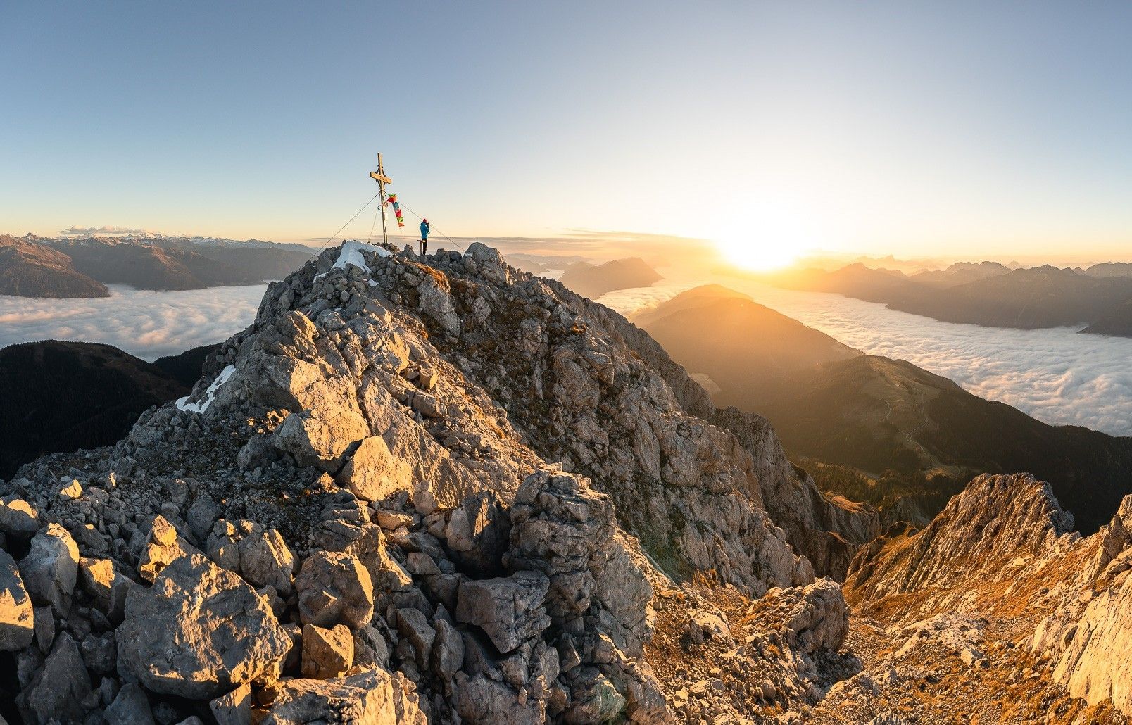
High up on the Gailtaler Höhenweg
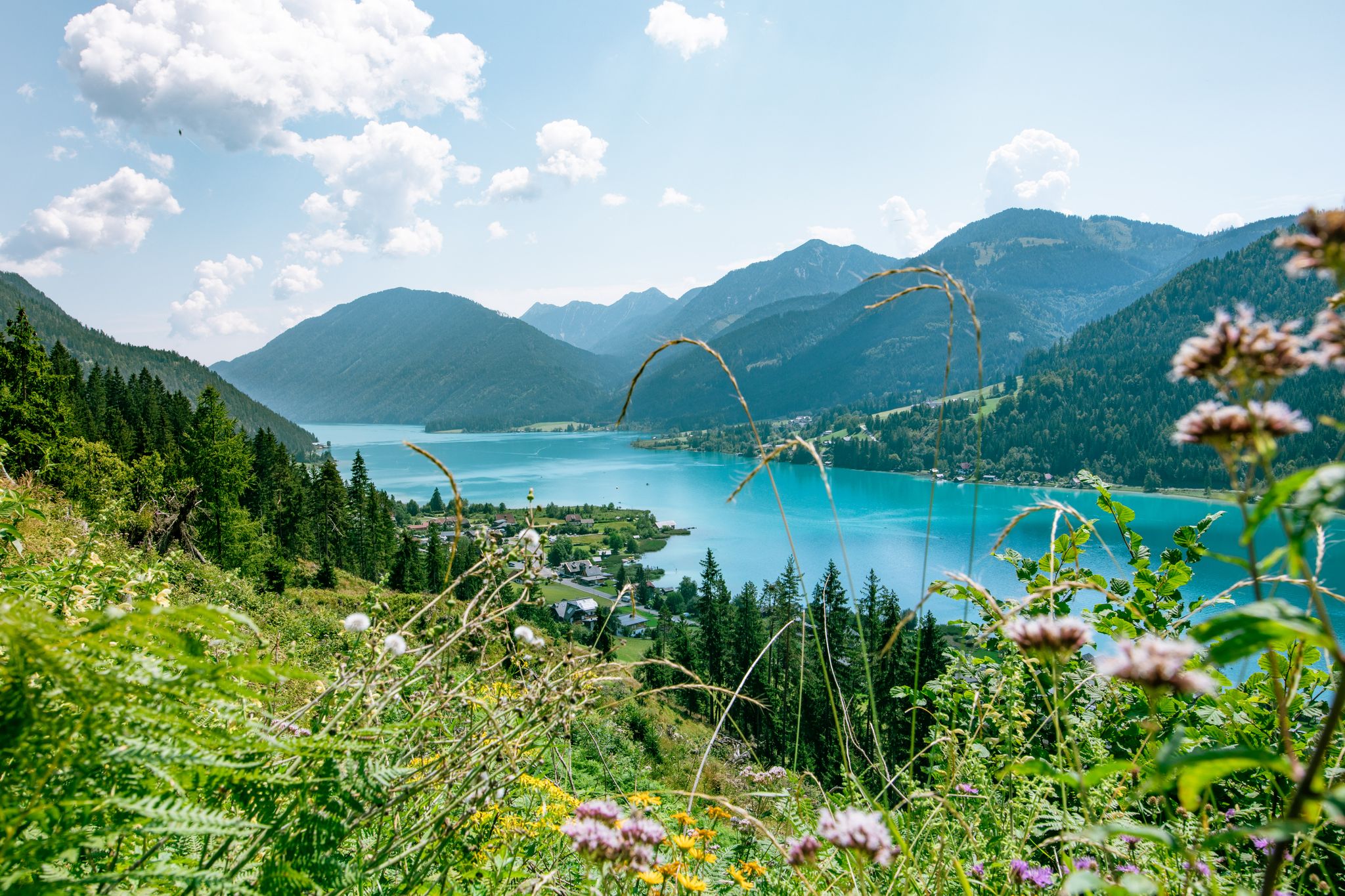
Enjoyment and high-altitude – hiking around Lake Weissensee
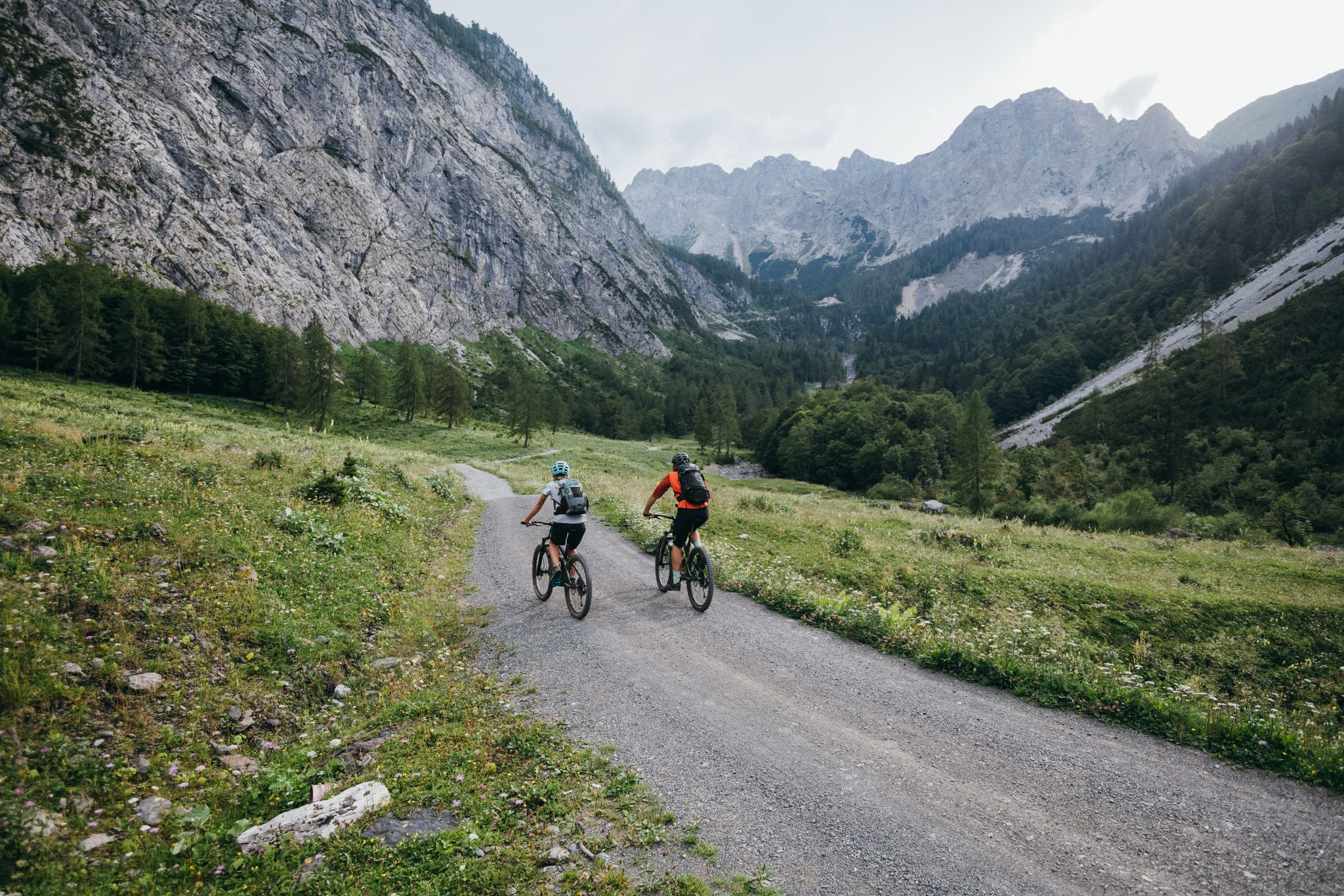
Limitless MTB fun between mountains, lakes and trails

Magnificent mountain biking on Austria's alpine pastures
As we wrote history – the Transcontinental Race #TCRN06
Auszeit auf der Alm – Wandern zu Kärntens schönsten Hütten
Other adventures around Kirchbach


Tips from the Community

Alpine pasture located on the eastern part of the Carnic High Trail
0
0


...you can drive up to here on a gravel road! It's an ideal starting point for hikes!
3
0

The 2,371-meter-high Reißkofel is the highest peak in the Reißkofel Group and towers majestically into the sky. After a drive through the forest, you'll have a good view of the south face of the mountain range.
0
0

Very nicely made place
2
0
The exhibits are well maintained.
1
0

More varied, more exciting, more demanding Path, mostly along the stream. There are many small waterfalls to see. Can easily be combined with a trip to the climbing and archery hall in St. Daniel (800 m from the starting point)
0
0
Frequently Asked Questions
How many bus station hiking trails are available around Kirchbach?
There are 14 bus station hiking trails around Kirchbach, offering a diverse range of experiences. This includes 5 easy routes, 7 moderate routes, and 2 difficult routes, ensuring options for various fitness levels.
Are there any easy, family-friendly hikes accessible by bus in Kirchbach?
Yes, Kirchbach offers several easy routes perfect for families. A great option is the Gail River – Gail Bridge near Gundersheim loop, which is a moderate 9.9 km walk along the serene Gail River, offering gentle paths and beautiful views of the surrounding mountains. The region's riverine paths are generally well-suited for leisurely family walks.
What is the best time of year to go hiking from bus stations in Kirchbach?
The best seasons for hiking in Kirchbach are spring and autumn. During these times, the weather is mild, temperatures are pleasant, and nature displays its most vibrant colors, making for an ideal hiking experience. While summer is also popular, spring and autumn offer more comfortable conditions.
Are there any circular walks starting from bus stops in Kirchbach?
Many of the routes accessible by bus in Kirchbach are circular, allowing you to start and end at the same point. For example, the Temple of Hercules Gurina – Goldenstein Castle Ruins loop is a moderate 13.9 km circular hike that takes you past historical sites. Another option is the Gail Bridge near Gundersheim – Alpenferien Campsite Loop, a moderate 15.7 km loop.
What kind of natural features can I expect to see on these bus-accessible trails?
The bus-accessible trails in Kirchbach showcase the region's diverse natural beauty. You can expect to see the majestic Carnic and Gailtal Alps, with impressive mountain ranges and alpine meadows. The Gail River flows through the area, offering serene paths along its banks. Some routes might also lead you to picturesque mountain lakes like Lake Pramollo, or offer views of fascinating geological formations.
Are there any historical sites or landmarks along the bus station hiking routes?
Yes, several routes offer glimpses into the region's history. The Temple of Hercules Gurina – Goldenstein Castle Ruins loop specifically takes you past the Goldenstein Castle Ruins. The broader region also features historical routes like the Carnic High Trail (Peace Trail), which traces remnants from World War I, offering a blend of nature and history.
What do other hikers enjoy most about the bus station trails in Kirchbach?
The komoot community highly rates the hiking experiences around Kirchbach, with an average score of 4.55 stars from over 9,500 ratings. Hikers often praise the stunning alpine scenery, the tranquility of the Gail River paths, and the well-maintained trails that cater to various difficulty levels. The accessibility via public transport is also a frequently appreciated aspect.
Are there any challenging hikes accessible by bus for experienced hikers?
For experienced hikers seeking a challenge, there are difficult routes accessible by bus. The Reißkofelbad (988 m) – Alpine Pasture With Cows loop is a demanding 13.6 km hike with significant elevation gain. Another strenuous option is the Unterbuchacher Alpe – Straniger Alpine Hut loop, covering 19.3 km with considerable ascents, offering true alpine experiences.
Can I find trails that lead to mountain passes or high-altitude viewpoints?
Yes, the region's proximity to the Carnic and Gailtal Alps means many trails offer access to mountain passes and panoramic viewpoints. While specific bus routes might not lead directly to the highest peaks, they can serve as starting points for ascents towards areas like Passo di Pramollo or offer views of the impressive Reisskofel. The Gartnerkofel, for instance, provides breathtaking panoramic views at 2,195 meters.
Are there any specific attractions or points of interest near the bus-accessible trails?
Beyond the trails themselves, you can explore several points of interest. The Goldenstein Castle Ruins are directly on one of the routes. Other nearby highlights include various mountain passes like Kreuzberg Pass and Passo del Cason di Lanza, as well as the picturesque Lake Pramollo.
Are the bus station hiking trails in Kirchbach suitable for dogs?
While specific regulations for each trail should always be checked, many hiking trails in the Kirchbach region, especially those along the Gail River and through alpine meadows, are generally dog-friendly. It's advisable to keep dogs on a leash, particularly in areas with livestock or wildlife, and to carry enough water for your pet.
Most popular routes around Kirchbach
Most popular attractions around Kirchbach

Get inspired with the komoot mobile app


Explore more
Browse the best Hikes in other regions.
