The best hikes from bus stations around Gallneukirchen
4.5
(2348)
18,947
hikers
55
hikes
Bus station hiking trails around Gallneukirchen offer access to a diverse natural landscape characterized by well-marked walking paths. The region features a mix of gentle hills, open fields, and forested areas, providing varied terrain for hikers. These routes often follow river valleys and lead to points of interest such as historic castles and natural monuments. The network of trails caters to different preferences, from easy strolls to more moderate excursions.
Best bus station hiking trails around Gallneukirchen
- The most popular…
Last updated: June 27, 2026
5.0
(8)
73
hikers
6.34km
01:46
120m
120m
Easy hike. Great for any fitness level. Easily-accessible paths. Suitable for all skill levels.
4.3
(4)
28
hikers
7.85km
02:15
190m
190m
Moderate hike. Good fitness required. Easily-accessible paths. Suitable for all skill levels.

Sign up for free
5.0
(1)
42
hikers
Easy hike. Great for any fitness level. Easily-accessible paths. Suitable for all skill levels.
3.5
(2)
22
hikers
Easy hike. Great for any fitness level. Easily-accessible paths. Suitable for all skill levels.
10
hikers
Moderate hike. Good fitness required. Easily-accessible paths. Suitable for all skill levels.
Get access to more routes and recommendations from other explorers.
Sign up for free
Already have an account?
Our route recommendations are based on thousands of hikes, rides, and runs completed by other people on komoot.
Start today with a free account
Your next adventure awaits.
Login or Signup
Popular around Gallneukirchen
Other adventures around Gallneukirchen

Tips from the Community

Gently rising forest path, last quarter steep.
0
0

Beautifully designed market square with restaurants, recommended for a rest
0
0

Mirellenstüberl is always worth a visit - whether hiking, cycling or by car. Snacks and cakes - a delight 😋😍
0
0

A social-economic business run by the Diakoniewerk that we like to visit again and again. There is a cheap lunch menu as well as other dishes and good pastries. In Gallneukirchen, the cafe is on the ground floor of the Deaconesses' Haus Bethanie and in the vicinity of the Evangelical Parish Church. There are four locations in Austria. https://www.cafe-kowalski.at
1
0

Now from March 2024 there will also be a bridge over the Gusen at the “Motorikarena”. See photo.
0
0

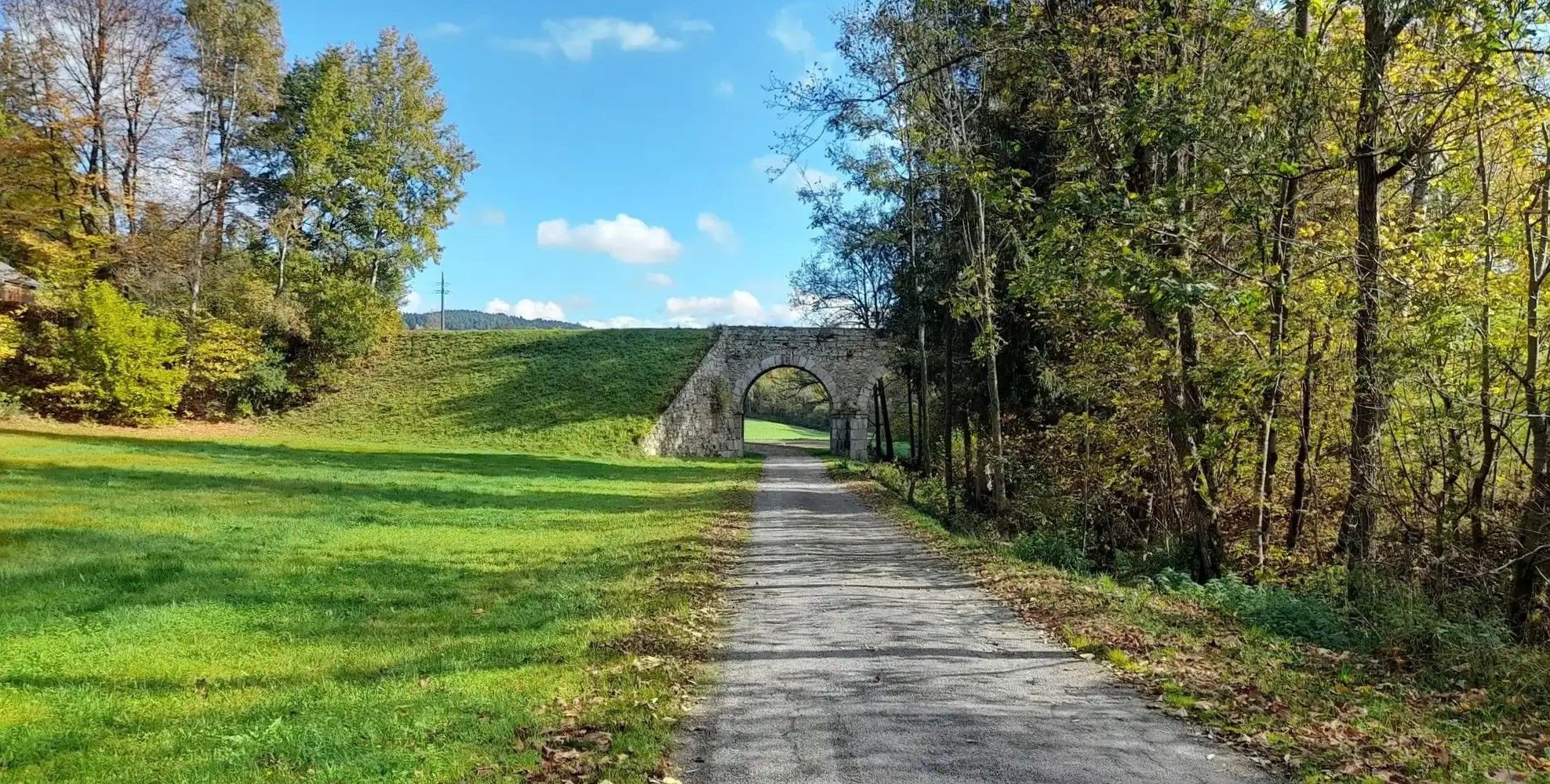
Spacious rest area built on the bridge of the former horse-drawn railway. The track gauge of the horse-drawn railway is also shown.
2
0

The market square in Gallneukirchen is "moulting" - cafés, the ice cream parlor, one or the other concert on mild summer evenings. Invites you to linger, especially in the evening.
0
0
Frequently Asked Questions
How many bus-accessible hiking trails are available around Gallneukirchen?
There are over 50 hiking routes around Gallneukirchen that are easily accessible from various bus stations. These trails offer a diverse range of experiences for all skill levels.
Are there easy hiking trails suitable for beginners or casual walkers starting from a bus station?
Yes, Gallneukirchen offers many easy trails. For example, the short Derkastner – Gallneukirchen Town Square loop from Gallneukirchen is a great option, covering just over 3.5 km with minimal elevation gain. Another easy choice is the Gasthaus Plank – Motor skills park Engerwitzdorf loop from Gallneukirchen, which is also short and offers a motor skills park along the way.
Can I find circular hiking routes that start and end at the same bus station?
Absolutely. Many of the trails around Gallneukirchen are designed as circular routes, making them convenient for public transport users. Examples include the Mirellen Stüberl – Rest Area on the Mirellenbach loop from Gallneukirchen and the View of Schloss Steinbach loop from Gallneukirchen.
Are there family-friendly hiking options accessible by bus in Gallneukirchen?
Yes, the region has several family-friendly paths. The Gasthaus Plank – Motor skills park Engerwitzdorf loop from Gallneukirchen is particularly suitable, featuring a motor skills park that can be fun for children. The well-marked paths and diverse trail network, including the Green Sports Bewegungsarena, provide many options for families.
What kind of natural features or viewpoints can I discover on these bus-accessible hikes?
The trails around Gallneukirchen offer picturesque natural landscapes and rewarding viewpoints. You can enjoy views of historical sites like Schloss Steinbach on the View of Schloss Steinbach loop or explore the area around Mouth of the Traun-Danube. For panoramic views, consider routes that lead towards the Pfenningberg Summit Cross, which offers vistas overlooking Linz.
Are there historical sites or landmarks to see along the bus station hiking routes?
Yes, the region is rich in history. You can hike to see Riedegg Castle, or explore trails that pass by the historical Pferdeeisenbahn Hiking Trail. The area also features various summit crosses like the Kirchberg Summit Cross and the Three Beeches Cross.
What is the best time of year to go hiking from Gallneukirchen bus stations?
Gallneukirchen's trails are enjoyable throughout much of the year. Spring and autumn offer pleasant temperatures and beautiful scenery, with vibrant colors in fall. Summer is also great for hiking, especially on shaded paths. Even in winter, some well-maintained paths can be suitable for walks, though conditions should always be checked.
Are there places to eat or rest along the hiking trails accessible by bus?
Yes, several routes offer opportunities for refreshments. The Mirellen Stüberl – Rest Area on the Mirellenbach loop includes a rest area. The region also has Gasthöfe and cafes, particularly in and around Gallneukirchen town square, which can be accessed on routes like the Derkastner – Gallneukirchen Town Square loop.
What do other hikers enjoy most about the trails around Gallneukirchen?
The komoot community highly rates the trails around Gallneukirchen, with an average score of 4.5 stars from over 2,100 ratings. Hikers often praise the well-marked paths, the diverse natural landscapes, and the convenience of accessing many routes directly from public transport hubs.
Are there any moderate difficulty hikes available from bus stations?
Yes, for those looking for a bit more challenge, there are moderate trails. The View of Schloss Steinbach loop from Gallneukirchen and the Riedegg Castle – View of Riedegg Castle loop from Gallneukirchen are both rated as moderate and offer rewarding experiences with more elevation gain and longer distances.
Most popular routes around Gallneukirchen
Most popular attractions around Gallneukirchen

Get inspired with the komoot mobile app


Explore more
Browse the best Hikes in other regions.
