The best traffic-free bike rides around Brandberg
4.6
(4137)
33,429
riders
6
rides
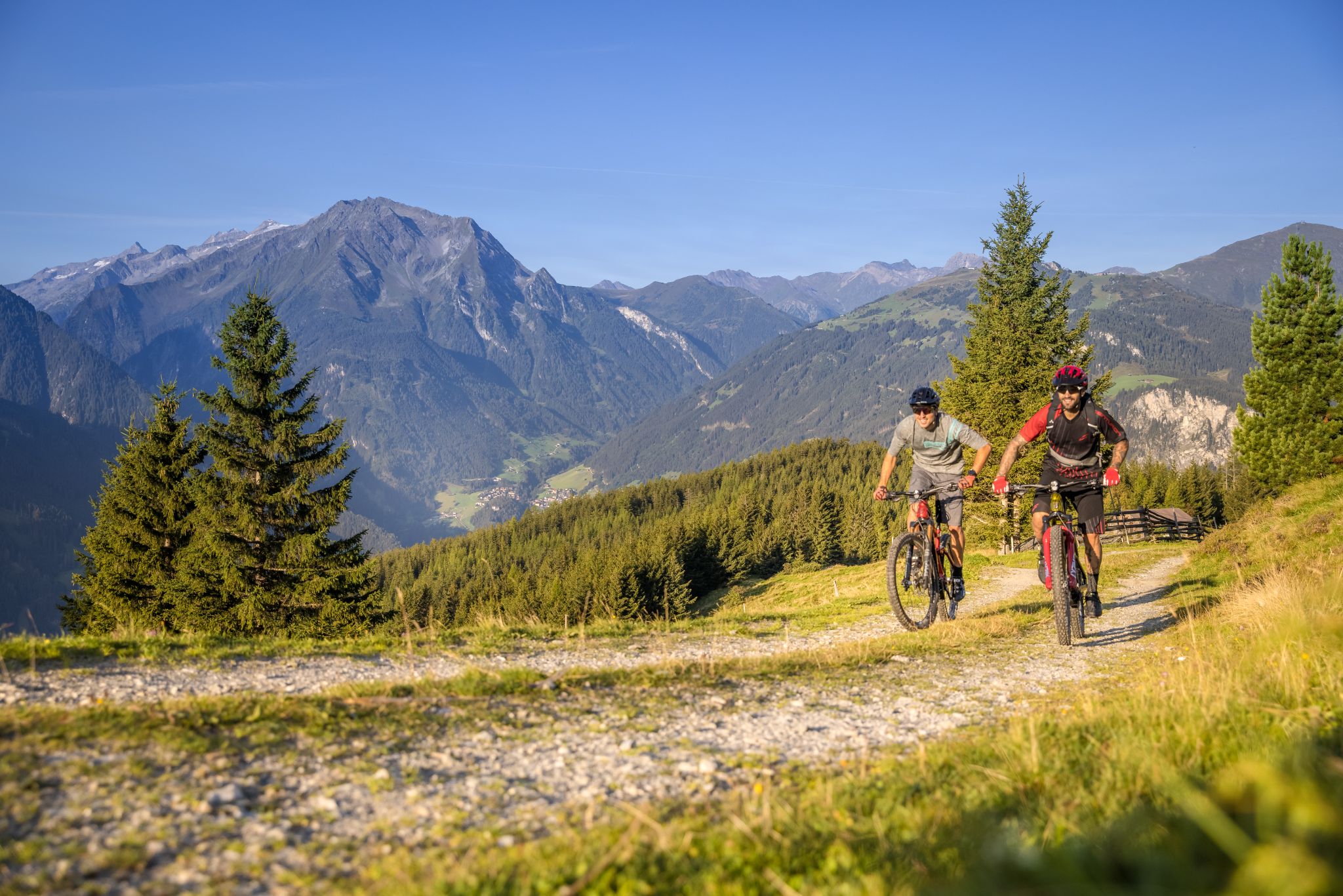
No traffic touring cycling routes around Brandberg are primarily found in the Austrian Tyrol, within or near the Ziller Valley. This alpine region is characterized by significant elevation changes, leading through picturesque valleys and towards impressive reservoirs. The terrain includes high alpine landscapes, offering both challenging climbs and scenic routes. Cyclists can expect to encounter mountain views and water features like the Zillergründl Dam.
Best no traffic touring cycling routes in Brandberg
- The most popular no traffic touring cycling route…
Last updated: July 10, 2026
5.0
(8)
110
riders
13.8km
01:28
540m
540m
Hard bike ride. Very good fitness required. Mostly paved surfaces. Suitable for all skill levels.
5.0
(2)
38
riders
21.3km
01:58
780m
780m
Hard bike ride. Very good fitness required. Mostly paved surfaces. Suitable for all skill levels.

Sign up for free
17
riders
Moderate bike ride. Good fitness required. Mostly paved surfaces. Suitable for all skill levels.
4.7
(3)
17
riders
9.00km
00:55
410m
410m
Moderate bike ride. Good fitness required. Mostly paved surfaces. Suitable for all skill levels.
13
riders
6.89km
00:33
190m
190m
Moderate bike ride. Good fitness required. Mostly paved surfaces. Suitable for all skill levels.
Our route recommendations are based on thousands of hikes, rides, and runs completed by other people on komoot.
Start today with a free account
Your next adventure awaits.
Login or Signup
Popular around Brandberg
Other adventures around Brandberg


Tips from the Community

It's absolutely worth driving up here. The first section is a bit steep, then it flattens out, sometimes only 1 to 2 percent. The last section gets steeper again, but there's no traffic. You just have to drive through a shuttle bus and two long tunnels. They're lit, but lights are mandatory.
0
1

...approximately 950m long, illuminated, asphalted tunnel, climbs about 70 meters (the second one towards the reservoir/Little Tibet) - factory traffic and bus traffic are to be expected - bike lights highly recommended...
0
0

The restaurant "Einkehr zum Adlerblick" is located at an altitude of approximately 1,900 meters above the Zillergründl reservoir. Anyone arriving by bike or on foot will need a bit of refreshment!
0
0

Somewhere on the main street of Mayrhofen
0
1

Little Tibet is a must-see, and a wonderful tour by MTB
3
0

On a trip along the Zillergrundweg you have a great view of the gorge, the Ziller waterfall and the weir built right next to it.
2
0

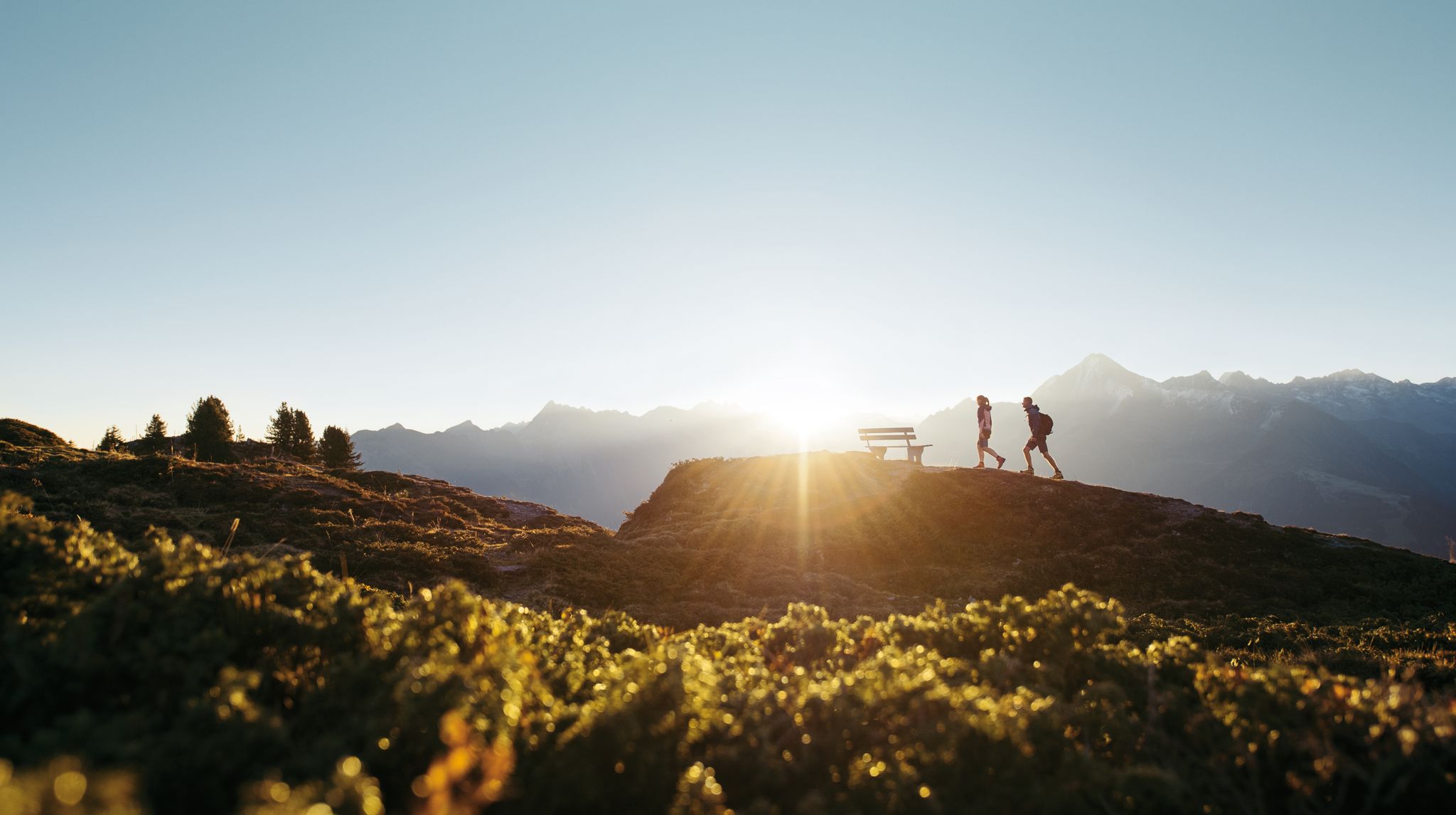
The simple bench invites you to linger and enjoy the incredible panorama. From here you have a great view of the Zillergründl reservoir, the dam and the mountains behind it. In the other direction you can let your gaze wander over the lake and the Zillergrund to the main ridge of the Zillertal Alps.
0
0

The Speicher Zillergrund has no circular route and, except for the alpine route, must take the same return route 😊
0
0
Frequently Asked Questions
How many no-traffic touring cycling routes are available in Brandberg?
There are 6 dedicated no-traffic touring cycling routes around Brandberg listed in this guide. These routes range from moderate to difficult, offering diverse experiences amidst the alpine scenery.
What kind of terrain can I expect on Brandberg's no-traffic cycling routes?
The routes in Brandberg, situated in the Ziller Valley, feature alpine terrain with significant elevation changes. You can expect climbs leading to impressive reservoirs and panoramic viewpoints. While some routes are challenging, the focus on 'no traffic' means you'll be on quieter paths, often away from main roads.
Are there any circular no-traffic touring bike routes in Brandberg?
Yes, several routes are designed as loops. For example, the Plauenerhütte Viewpoint Bench – Zillergründl Dam loop from Bärenbad offers a challenging circular ride, while the Plauenerhütte Viewpoint Bench – Zillergründl Dam loop from Zillergründl Dam provides a moderate option.
What are some natural features or landmarks I can see along these routes?
Many routes offer stunning views of the Ziller Valley and surrounding peaks. You can cycle towards impressive structures like the Zillergründl Dam and enjoy views from the Plauenerhütte Viewpoint Bench. Other notable natural attractions in the broader area include the Krimml Waterfalls Trail and Ahorn Lake.
Are there any routes suitable for beginners or those looking for an easier ride?
While Brandberg's terrain is generally alpine, there are moderate options. The Plauenerhütte Viewpoint Bench – Zillergründl Dam loop from Zillergründl Dam is rated moderate, covering about 8 km with 186 meters of elevation gain, making it a good choice for those seeking a less strenuous experience.
What is the best time of year to go touring cycling in Brandberg?
The best time for touring cycling in Brandberg, given its alpine location, is typically from late spring through early autumn (May to October). During these months, the weather is generally milder, and the trails are free of snow, offering the most pleasant conditions for exploring the mountain landscapes.
Are there any routes that pass by waterfalls?
Yes, the Ziller Waterfall and Dam – Rock Tunnel loop from Mayrhofen is a moderate route that takes you past the Ziller Waterfall. Additionally, the famous Krimml Waterfalls Trail is a significant natural monument in the wider region.
What do other touring cyclists enjoy most about cycling in Brandberg?
The Brandberg area is highly rated by the komoot community, with an average score of 4.59 stars from nearly 4,000 ratings. Cyclists often praise the breathtaking alpine scenery, the challenge of the climbs, and the rewarding panoramic views from high points like the Plauenerhütte Viewpoint Bench and the Zillergründl Dam.
Are there any facilities or huts along the no-traffic routes?
While specific amenities directly on every no-traffic route may vary, the broader Brandberg region offers facilities. For example, the Rastkogel Hut and Edelhütte are available in the surrounding area, providing places for rest and refreshments. It's always advisable to check opening times before your tour.
Can I find routes that are suitable for families with children?
While many routes in Brandberg involve significant elevation, the moderate routes, such as the Ziller Waterfall and Dam – Rock Tunnel loop from Mayrhofen, could be suitable for families with older, more experienced children, especially if using e-bikes to assist with climbs. Always consider the distance and elevation profile when planning a family outing.
Where are good starting points for these no-traffic cycling routes?
Many routes start from locations like Bärenbad, Hechenberg, Zillergründl Dam, or Mayrhofen. These points are often accessible and serve as convenient hubs for beginning your cycling adventure into the no-traffic zones.
Most popular routes around Brandberg
Most popular attractions around Brandberg

Get inspired with the komoot mobile app


Explore more
Browse the best Cycling routes in other regions.
