The best hikes from bus stations around Gries am Brenner
4.5
(3222)
16,694
hikers
13
hikes
Hiking around Gries am Brenner offers access to diverse alpine landscapes within the Austrian state of Tyrol. Situated at the foot of the Brenner Pass, the region features the expansive Wipptal valley, the picturesque Obernbergtal with Lake Obernberg, and the sunny Nösslach High Plateau. The terrain is characterized by majestic mountains like the Sattelberg, dense larch forests, and alpine meadows, providing varied routes for different skill levels.
Best bus station hiking trails around Gries am Brenner
- The most popular bus…
Last updated: June 27, 2026
4.6
(5)
78
hikers
15.9km
07:57
1,330m
1,330m
Hard hike. Very good fitness required. Mostly accessible paths. Sure-footedness required.
4.7
(18)
170
hikers
11.8km
05:09
910m
910m
Hard hike. Very good fitness required. Mostly accessible paths. Sure-footedness required.

Sign up for free
4.5
(4)
36
hikers
Moderate hike. Good fitness required. Mostly accessible paths. Sure-footedness required.
4.8
(5)
17
hikers
20.2km
08:04
1,210m
1,210m
Hard hike. Very good fitness required. Mostly accessible paths. Sure-footedness required.
4.9
(7)
23
hikers
Moderate hike. Good fitness required. Mostly accessible paths. Sure-footedness required.
Get access to more routes and recommendations from other explorers.
Sign up for free
Already have an account?
Our route recommendations are based on thousands of hikes, rides, and runs completed by other people on komoot.
Start today with a free account
Your next adventure awaits.
Login or Signup
Popular around Gries am Brenner
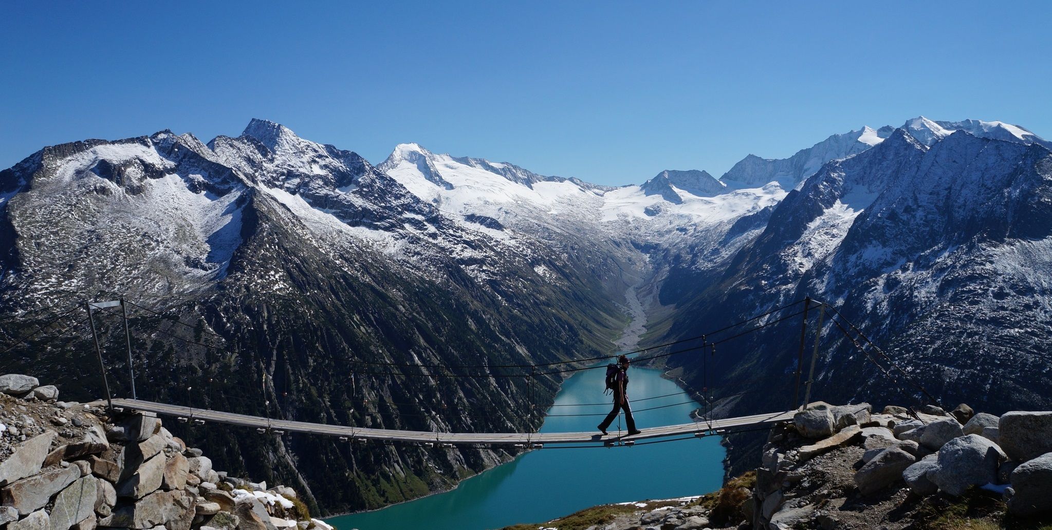
The Peter Habeler loop — an alpine trail around the Olperer
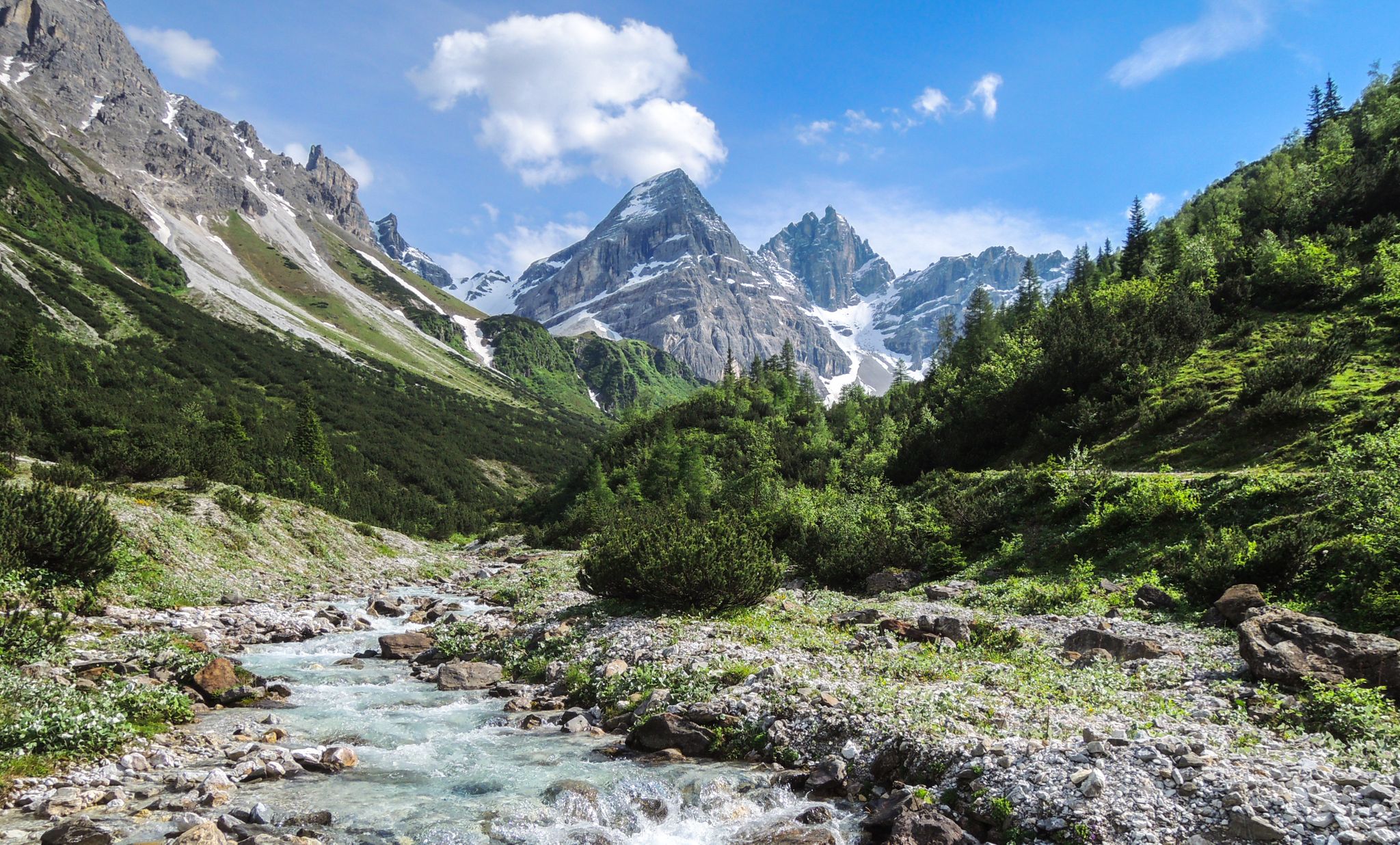
A journey of discovery in Tyrol – hidden places in the Wipptal Valley
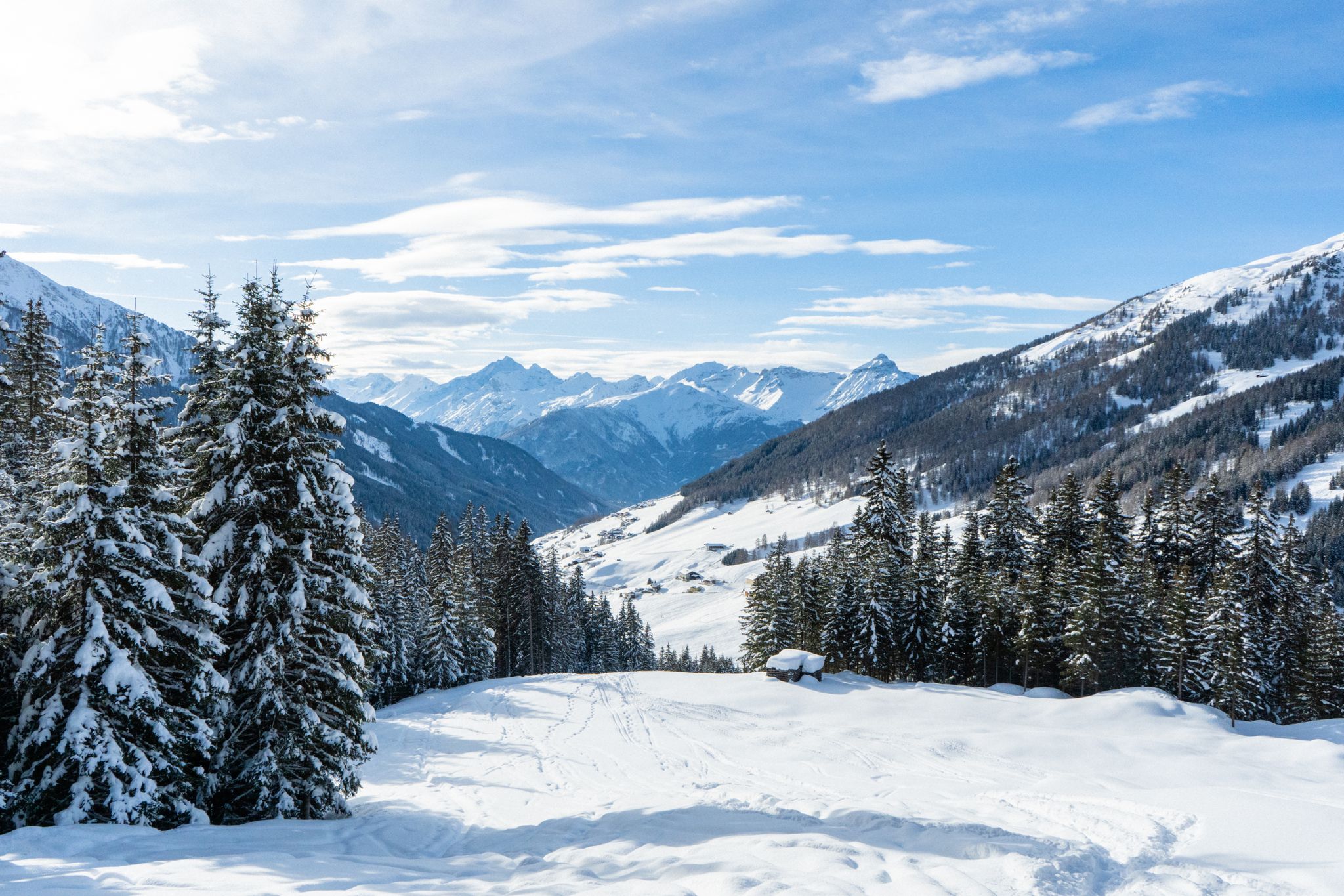
Your winter in Austria’s Wipptal Valley: 10 tips for adventuring in the snow
Fünf kulinarische Alm- und Hüttenwanderungen im Wipptal
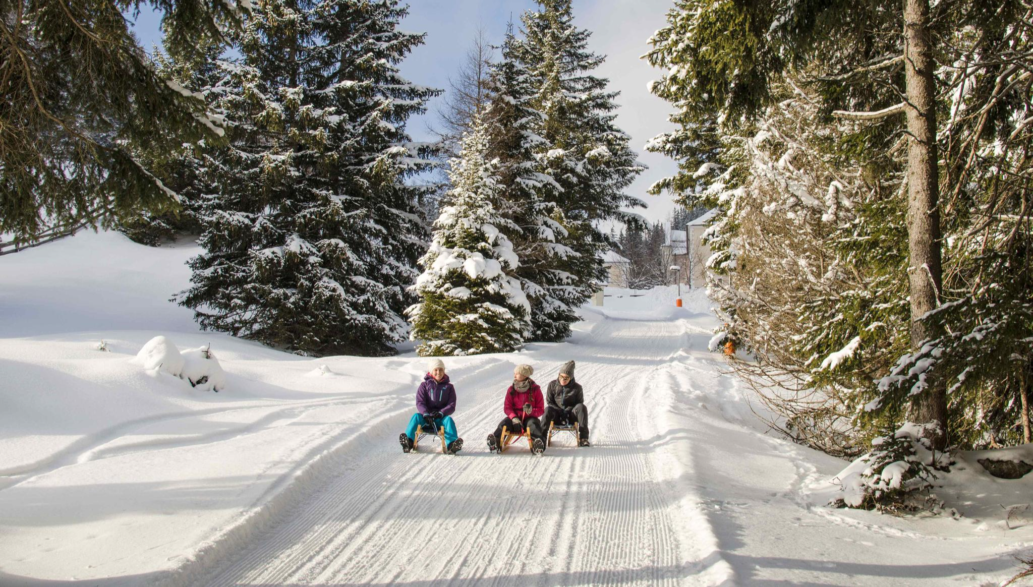
Rodelspaß und urige Hütten – Winterzauber Wipptal
Other adventures around Gries am Brenner


Tips from the Community

Nice little resting place with a wooden sculpture through which a stream flows. You can walk over it via a small wooden bridge and refresh yourself.
0
0

The food left MUCH to be desired 😒 Lukewarm soup = bacon dumplings and cheese dumplings were almost soaked to bread soup and the core of the dumpling was cold. And for THAT price (soup was served in a cup, 150ml with mini-dumplings) 6.80Euro 🫣😒 The cappuccino was good.
0
0

A beautiful ridge hike with fantastic views of the surrounding mountains. Take the cable car all the way to the top of the Nösslachjoch, from there hike over the ridges, Eggerjoch, and Gerichtsherrenalm to the Bergeralm mid-station, and from there take the cable car back to Steinach. Please note the last cable car departures: 4:30 p.m. from Nösslachjoch 5:00 p.m. from Bergeralm mid-station
0
0

A beautiful climb to the hut, but it's closed for renovations in 2025. You can't even reach the summit because of this closure. The climb is still worthwhile, as nobody really climbs here and the view is beautiful.
0
0

A wonderful introductory, bad weather and good weather tour with magnificent views from the spacious summit plateau.
0
0

Beautiful mountain for a snowshoe hike 😉.
1
0

After the Europahutte the start of route 529 to Vals seems to be closed by rockfall (on 05-09-24). You can follow route 531. Route 529 is passable (we walked it), but keep in mind that the markings are partly missing and the first part is quite a climb and scramble.
0
0

the view from the top makes up for everything. Tip...walk a little further and enjoy the peace and quiet
1
0
Frequently Asked Questions
How many bus station hiking trails are available in Gries am Brenner?
There are over 10 hiking routes accessible directly from bus stations around Gries am Brenner, offering a variety of experiences for all skill levels.
What is the best time of year for bus station hikes in Gries am Brenner?
The best seasons for hiking from bus stations in Gries am Brenner are spring (May-June) and autumn (September-October). During these months, temperatures are pleasant, and the weather is typically stable, making for ideal hiking conditions.
What do other hikers say about the bus station trails in Gries am Brenner?
The bus station hiking trails in Gries am Brenner are highly rated by the komoot community, with an average score of 4.56 stars from over 3,200 reviews. Hikers often praise the diverse landscapes, from picturesque forests to blooming alpine meadows, and the accessibility of trails directly from public transport.
Are there easy bus station hikes suitable for beginners in Gries am Brenner?
Yes, there is at least one easy bus station hike available. The region offers paths suitable for all skill levels, including family-friendly options like the 'Witch Trail' mentioned in local information, though specific easy routes from bus stations may vary. Always check the route details for current difficulty.
Can I find challenging alpine tours accessible by bus in Gries am Brenner?
Yes, Gries am Brenner serves as a starting point for several challenging alpine tours accessible by bus. For example, the Friedrichshöhe Summit – Landshuter Europahütte loop from Brenner - Brennero is a difficult 15.9 km hike with over 1,300 meters of elevation gain, offering a true alpine experience.
Are there bus station hiking trails suitable for families in Gries am Brenner?
Yes, the region around Gries am Brenner offers family-friendly hiking options. While specific bus-accessible family routes are not detailed in the provided data, the area is known for trails like the 'Witch Trail' and the loop around Lake Obernberg, which are suitable for families. Always check individual route descriptions for suitability.
Can I find bus station hikes with waterfalls in the Gries am Brenner area?
Yes, the region features impressive waterfalls. You can find the Riepenbach waterfall and bridges, which is a notable attraction. Some routes above Lake Brennersee also feature waterfalls, with one even used for ice climbing by experienced athletes.
Are there bus station hiking routes that offer great viewpoints?
Absolutely. Many bus-accessible routes in Gries am Brenner lead to stunning viewpoints. The Sattelberg (2,115 m) is a prominent local mountain offering wonderful views, and the Kraxentrager also provides fantastic panoramas of North and South Tyrol. The Sattelberg – Sattelberg Alpine Hut loop from Gries am Brenner is a difficult route that will reward you with expansive vistas.
Are there circular bus station hiking routes in Gries am Brenner?
Yes, several circular routes are accessible from bus stations. The Sattelberg – Sattelberg Alpine Hut loop from Gries am Brenner is a challenging 11.8 km circular hike. Another option is the Friedrichstollen Mine Entrance – View from Nösslachjoch loop from St. Jodok am Brenner, which is also a circular route.
What kind of natural attractions can I explore on bus station hikes around Gries am Brenner?
On bus station hikes around Gries am Brenner, you can explore diverse natural attractions. These include the picturesque Obernbergtal valley with the idyllic Lake Obernberg, the sunny Nösslach High Plateau with its larch forests, and the jade-colored Lake Brennersee. The Sattelmöser Biotope near the Sattelbergalm also offers an untouched landscape of wet meadows and woods.
Are there any themed trails accessible from bus stations in Gries am Brenner?
Yes, the region features themed trails. The mine trail, easily accessible from the Nösslachhütte, is a particularly interesting themed route exploring coal mining on the Nösslachjoch. You can experience a part of this on the Friedrichstollen Mine Entrance – View from Nösslachjoch loop from Nösslach Gh Hummler.
Can I do cross-border hikes from Gries am Brenner bus stations?
Yes, given Gries am Brenner's proximity to the Italian border (only 5 minutes from the Brenner Pass), you can embark on cross-border tours. For example, you can walk from Gries am Brenner to the Sattelberg Mountain Hut and continue to the village of Brennero, or explore routes that cross into Italy at the Pfitscherjoch, such as the area around the Pfitscherjoch Border Crossing.
Most popular routes around Gries am Brenner
Most popular attractions around Gries am Brenner

Get inspired with the komoot mobile app


Explore more
Browse the best Hikes in other regions.
