The best hikes from bus stations around Bartholomäberg
4.6
(15457)
79,179
hikers
65
hikes
Bus station hiking trails around Bartholomäberg are situated at an elevation of 1,100 meters, offering diverse landscapes across the Montafon valley. The region features panoramic views of the Rätikon, Silvretta, and Verwall mountain ranges, alongside varied terrain including alpine meadows, upland flat moors, and dense forests. Hikers can explore notable peaks such as Itonskopf and Zwölferkopf, and experience the quiet Valleu Valley.
Best bus station hiking trails around Bartholomäberg
- The most popular bus station hiking route is Siedlungsgeschichteweg (settlement history…
Last updated: July 1, 2026
4.8
(228)
1,050
hikers
Moderate hike. Good fitness required. Mostly accessible paths. Sure-footedness required.
4.8
(48)
200
hikers
16.0km
06:28
980m
980m
Hard hike. Very good fitness required. Sure-footedness, sturdy shoes and alpine experience required.

Sign up for free
4.8
(75)
363
hikers
13.5km
04:22
590m
590m
Moderate hike. Good fitness required. Mostly accessible paths. Sure-footedness required.
4.6
(48)
456
hikers
6.30km
01:58
250m
250m
Easy hike. Great for any fitness level. Easily-accessible paths. Suitable for all skill levels.
4.8
(39)
263
hikers
14.6km
06:12
1,000m
1,000m
Hard hike. Very good fitness required. Sure-footedness, sturdy shoes and alpine experience required.
Get access to more routes and recommendations from other explorers.
Sign up for free
Already have an account?
Our route recommendations are based on thousands of hikes, rides, and runs completed by other people on komoot.
Start today with a free account
Your next adventure awaits.
Login or Signup
Popular around Bartholomäberg
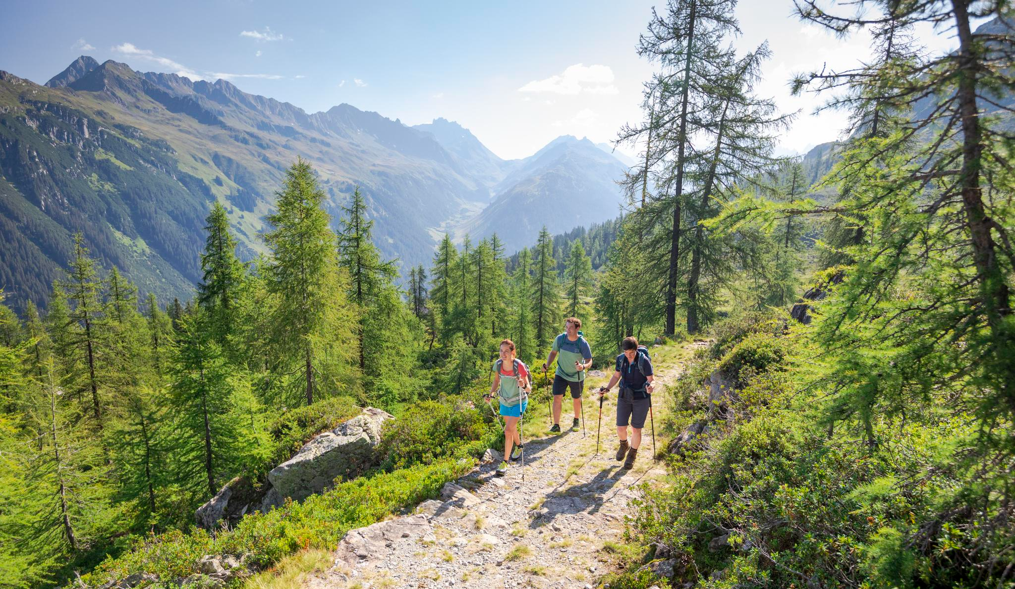
Between Maisäß and Alpe – hiking in Montafon
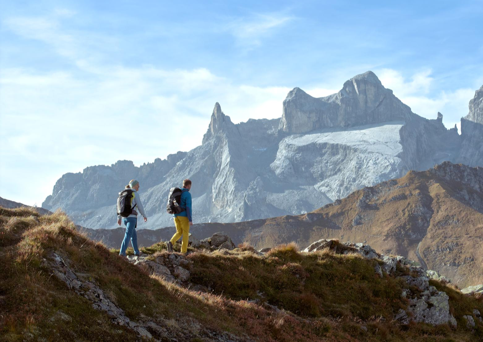
Alpenmosaik Montafon – the most beautiful autumn hikes
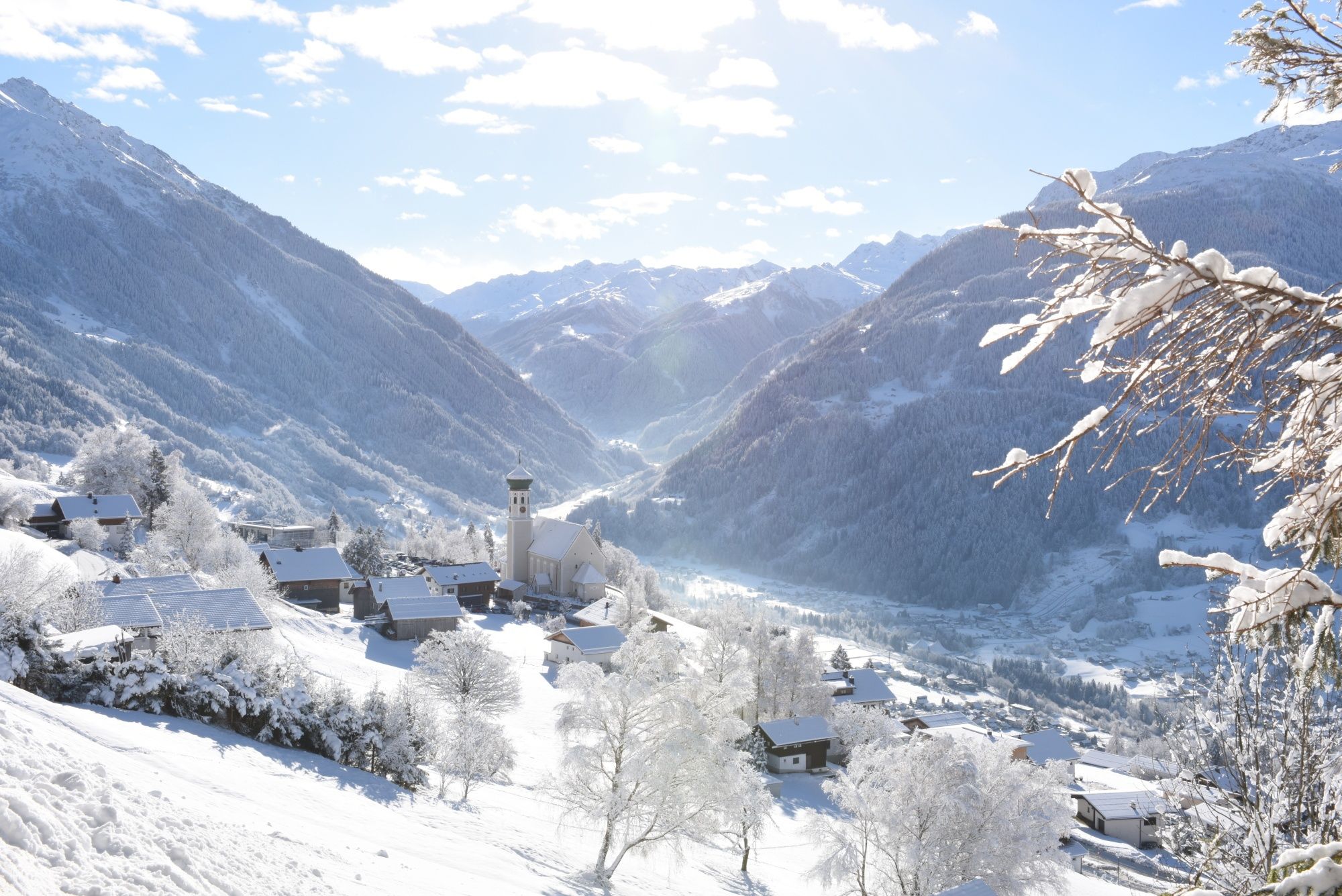
Tobogganing, ice bathing and hiking – winter away from the slopes
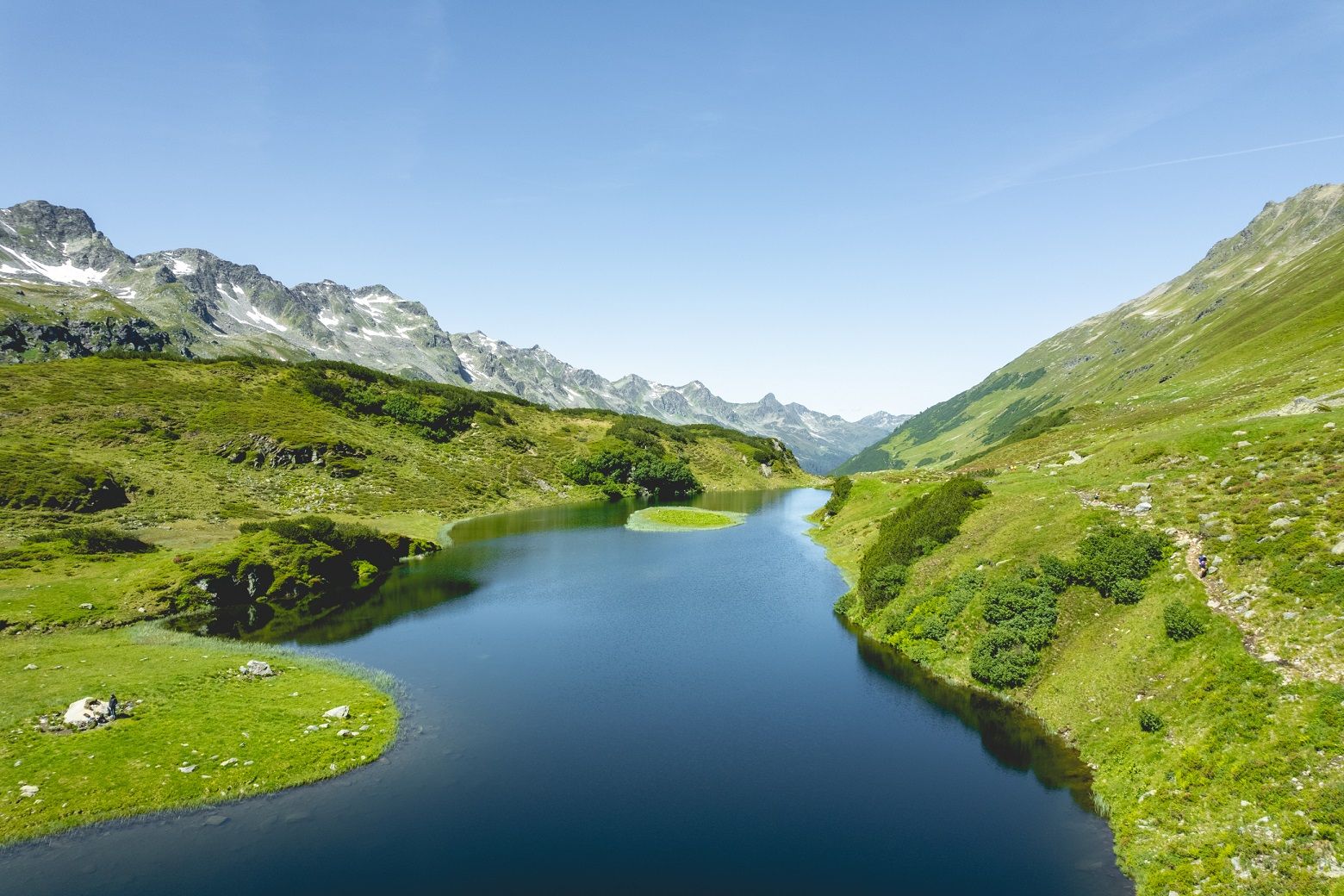
Alpine Mosaic in Montafon — Austria’s Verwall adventure area
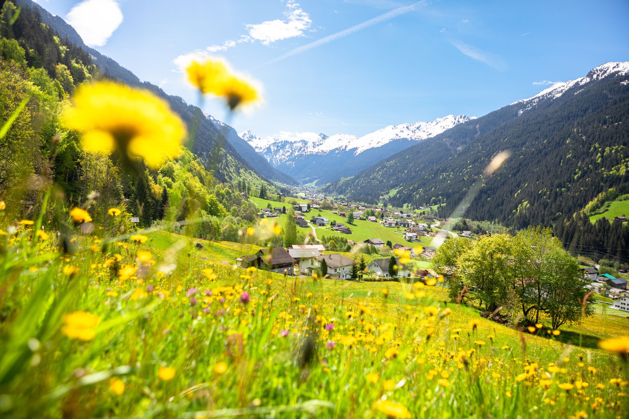
Nature awakens – spring hikes in Vorarlberg
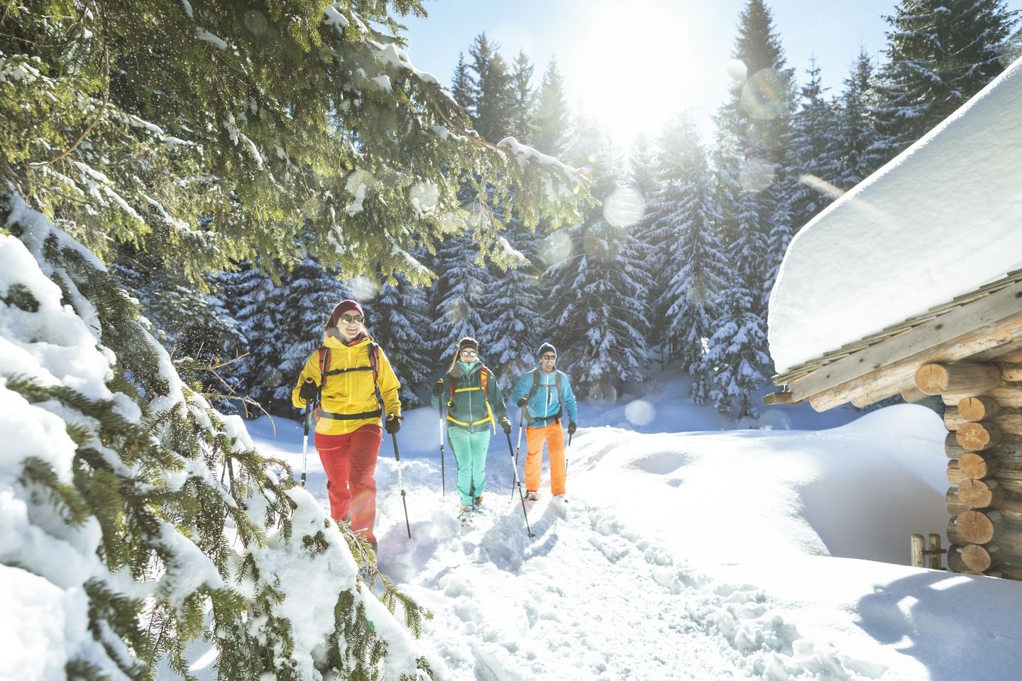
Snowshoe and winter hikes in the Montafon
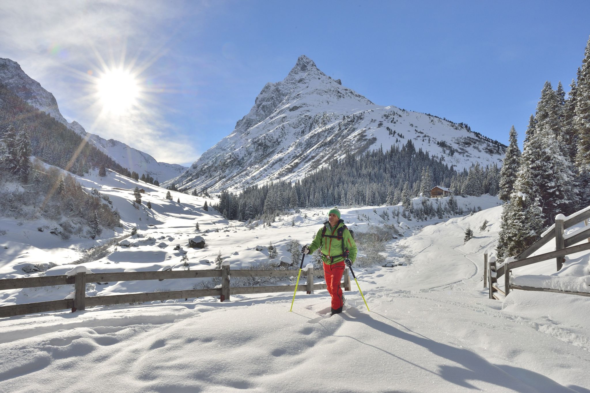
Find the snow! Winter hiking in Vorarlberg and on the Arlberg in Austria
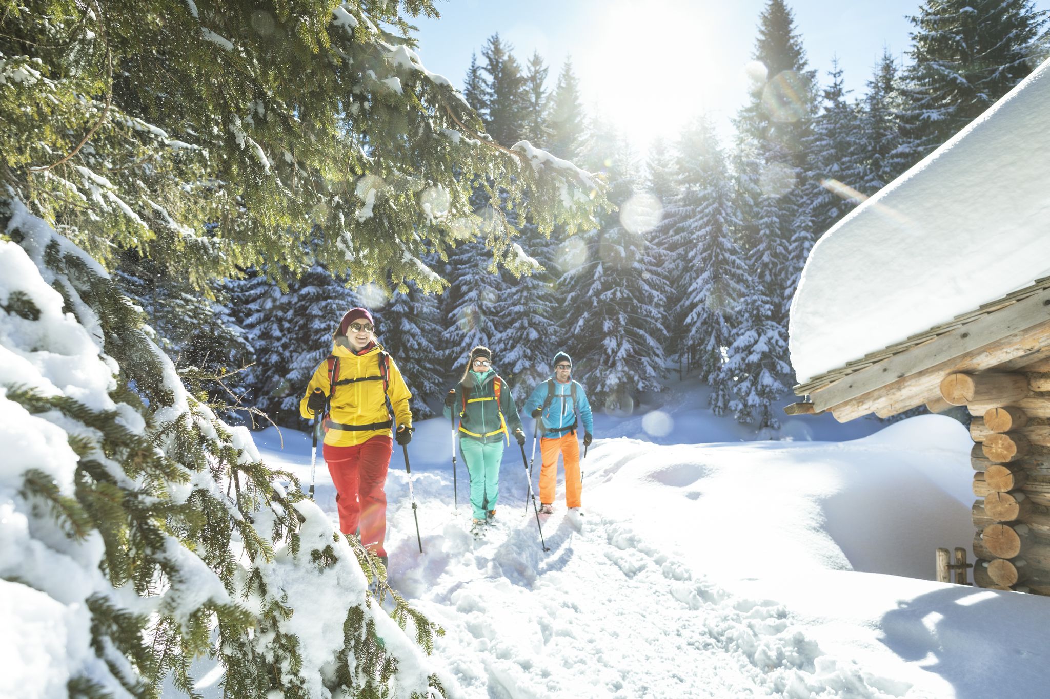
Snowshoe and winter hikes in the Montafon
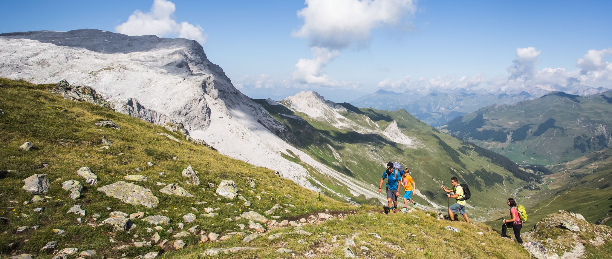
Hiking the most beautiful trails up in the Montafon mountains
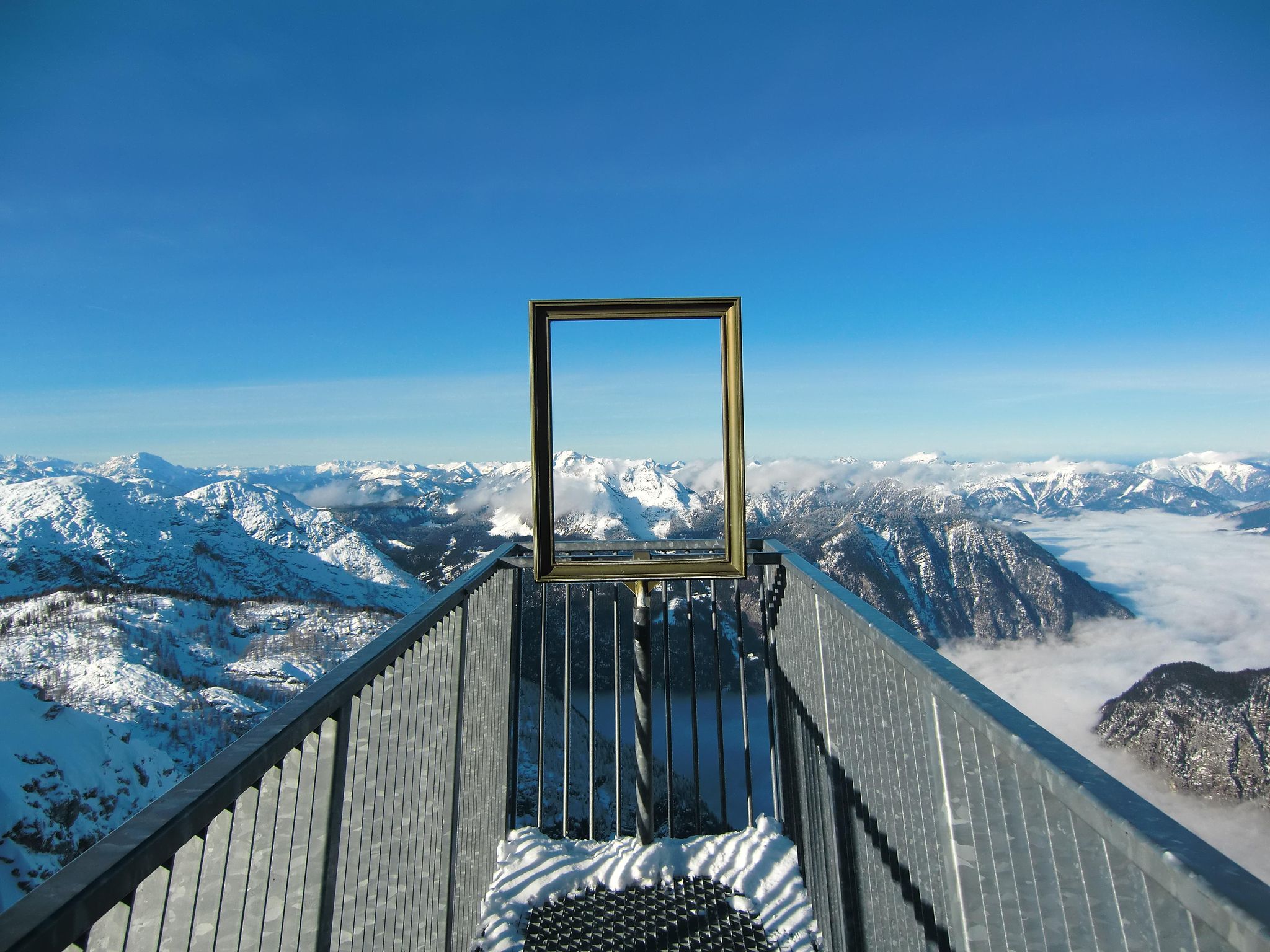
#Winterlove — 14 tips for your winter adventure in Austria
Other adventures around Bartholomäberg


Tips from the Community

A nice opportunity for a stopover at 1,883 meters, about an hour from the Rellseck mountain inn. The path is partly muddy even in summer, as it leads through a marshy depression.
1
0

Amazing views in Silbertal
0
0

The kitchen is open until 8 p.m. We were there shortly after 8 p.m. Then we went to another restaurant 🙂
0
0

Continuous wire ropes and steps lead to the 360-degree summit, thus making it easier than the former summit via ferrata. Of course, you still need to be sure-footed and have a head for heights.
1
0

Miners' Trail to the Historic Silver Mine
0
0

Beautiful mountain lake with the opportunity for a break
0
0

This offer is no longer available! The cabinet has been and will likely remain closed.
0
0
A beautiful hiking area in Vorarlberg: The Montafon
0
0
Frequently Asked Questions
How many bus station hiking trails are available in Bartholomäberg?
Bartholomäberg offers a wide selection of bus-accessible hiking trails, with over 60 routes available directly from bus stops. These range from easy strolls to challenging mountain expeditions, catering to all levels of hikers.
What kind of views can I expect on these trails?
Hikers are consistently rewarded with stunning panoramic views across the Montafon valley and towards the impressive Rätikon, Silvretta, and Verwall mountain ranges. You can expect vistas of peaks like the Zimba, Drei Türme, Sulzfluh, and even as far as the Säntis on clear days. Many trails, like the Panoramaweg Bartholomäberg, are specifically designed to showcase these expansive views.
Are there easy, family-friendly hikes accessible from bus stations?
Yes, Bartholomäberg has several easy and family-friendly options. For instance, the Gasthaus Mühle Bartholomäberg – Historic Farmhouse from 1673 loop is an easy route that passes a 17th-century farmhouse. The region also features playful children's hiking trails like the "Muntafuner Gaglaweg" that encourage interaction with nature, though specific bus access for all segments may vary.
Are there more challenging routes for experienced hikers?
Absolutely. For those seeking a challenge, routes like the Itonskopf summit trail - Verwall adventure area offer significant elevation gains and magnificent mountain panoramas. Another demanding option is the Bartholomäberg – Itonskopf Summit loop from Bartholomäberg, providing a strenuous yet rewarding experience.
Can I find circular routes starting from a bus station?
Yes, many trails in Bartholomäberg are designed as circular routes, allowing you to start and end at the same point, often conveniently near a bus station. The Panoramaweg Bartholomäberg is a beautiful circular route with fantastic views, and longer options like the Bartholomäberg circular trail lead past old farms and chapels, offering a glimpse into traditional village life.
Are there any historical or cultural points of interest along the trails?
The region is rich in history. The Siedlungsgeschichteweg (settlement history trail) is a moderate hike offering insights into the region's past. You can also find trails that pass the Baroque Church of St. Bartholomew or lead past old farms and chapels, providing a cultural experience amidst the natural beauty. The Kristbergsattel is another notable point of interest.
What is the best season for hiking these bus-accessible trails?
Bartholomäberg offers hiking opportunities year-round. Spring and autumn provide pleasant temperatures and vibrant landscapes, while summer is ideal for higher alpine routes. In winter, the region transforms into a destination for snowshoeing and winter hiking, with a unique variety of trails, many of which remain accessible by bus.
Are the bus station trails in Bartholomäberg dog-friendly?
Generally, dogs are welcome on hiking trails in Bartholomäberg. It's always recommended to keep your dog on a leash, especially in areas with livestock or wildlife, and to carry waste bags to clean up after them. Always check local signage for any specific restrictions on certain paths or nature reserves.
What do other hikers enjoy the most about hiking in Bartholomäberg?
The area is highly rated by the komoot community, with an average score of 4.6 stars. Reviewers often praise the stunning panoramic views, the diverse terrain ranging from idyllic alpine meadows to dense forests, and the sense of peace and quiet that invites visitors to unwind amidst the alpine scenery.
Are there places to eat or rest near the bus station trailheads?
Bartholomäberg, being a village, offers several guesthouses and restaurants where you can find refreshments and traditional Montafon cuisine. Many trailheads are conveniently located near the village center or smaller hamlets, providing options for a meal or a coffee before or after your hike.
What natural features can I see along the bus station hiking trails?
Beyond the impressive mountain ranges, the region boasts a varied natural environment. You'll encounter idyllic alpine meadows, mountain pasture environments, ponds, upland flat moors, and dense forests. The landscape also features the quiet Valleu Valley and the gypsum quarry, adding to its geological interest. You might also pass by significant mountain passes like the Tiefensee Saddle.
Most popular routes around Bartholomäberg
Most popular attractions around Bartholomäberg

Get inspired with the komoot mobile app


Explore more
Browse the best Hikes in other regions.
