The best hikes from bus stations in Georgia
4.6
(4542)
30,031
hikers
192
hikes
Bus station hiking trails in Georgia offer access to a diverse landscape, ranging from the high peaks of the Caucasus Mountains to deep river gorges and lush valleys. The region is characterized by significant elevation changes, with trails leading through alpine meadows, dense forests, and past historical sites. Hikers can experience varied terrain, including challenging mountain ascents and more moderate paths along rivers.
Best bus station hiking trails in Georgia
- The most popular bus station hiking route is Gergeti Holy…
Last updated: October 13, 2026
4.9
(160)
793
hikers
17.9km
08:01
1,350m
1,350m
Hard hike. Very good fitness required. Mostly accessible paths. Sure-footedness required.
4.7
(145)
732
hikers
Moderate hike. Good fitness required. Mostly accessible paths. Sure-footedness required.

4.9
(60)
472
hikers
Moderate hike. Good fitness required. Mostly accessible paths. Sure-footedness required.
4.8
(65)
469
hikers
7.22km
02:35
340m
340m
Moderate hike. Good fitness required. Mostly accessible paths. Sure-footedness required.
4.7
(68)
335
hikers
6.03km
01:58
290m
290m
Easy hike. Great for any fitness level. Easily-accessible paths. Suitable for all skill levels.
Get access to more routes and recommendations from other explorers.
Already have an account?
Our route recommendations are based on thousands of hikes, rides, and runs completed by other people on komoot.
Start today with a free account
Your next adventure awaits.
Popular around Georgia

Hikes from bus stations in Mtskheta-Mtianeti

Hikes from bus stations in Autonomous Republic of Adjara
Hikes from bus stations in Tbilisi
Hikes from bus stations in Samegrelo-Upper Svaneti
Hikes from bus stations in Lower Kartli
Hikes from bus stations in Imereti
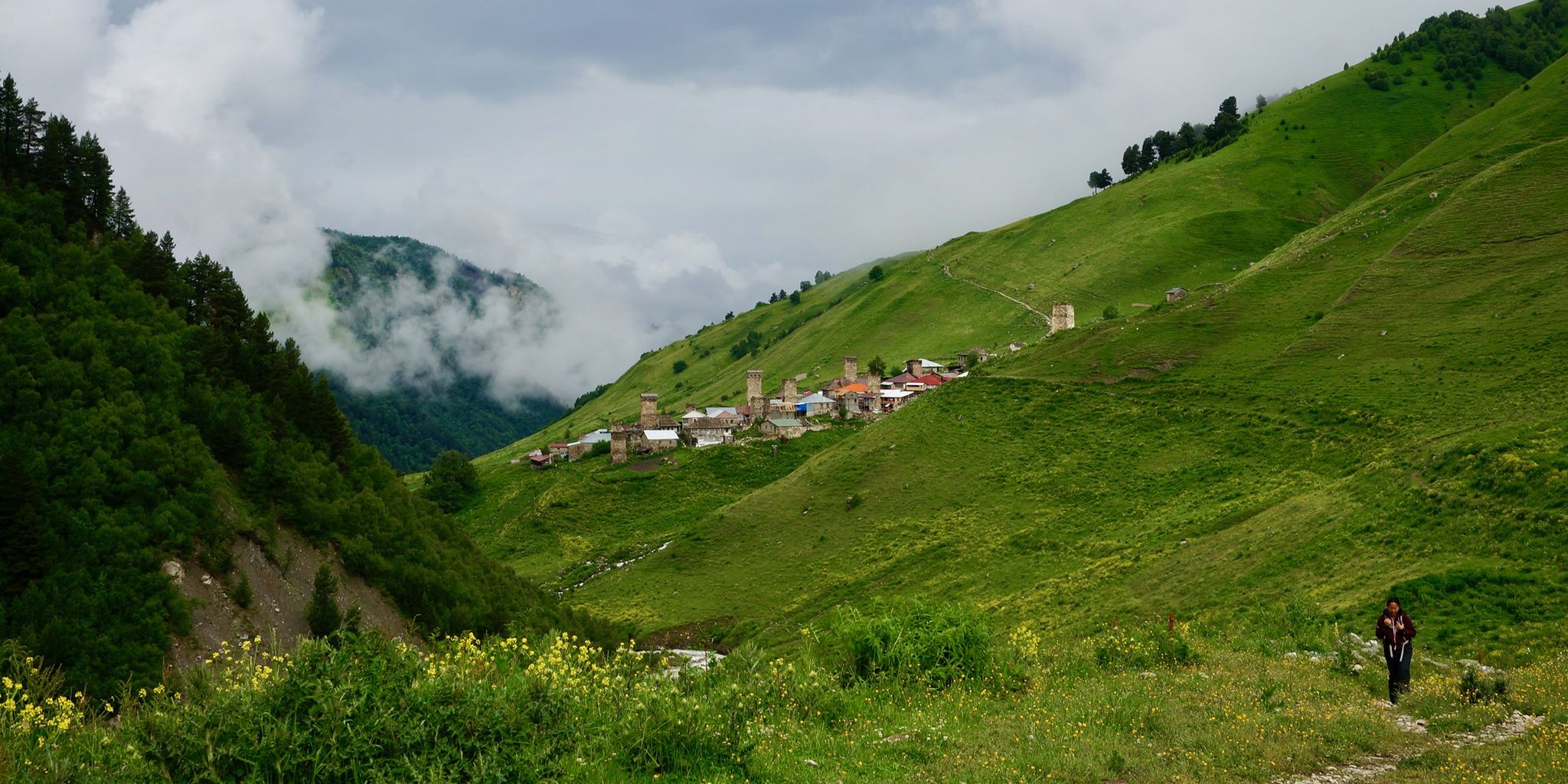
The mighty Caucasus Mountains – 4-day trek in Georgia
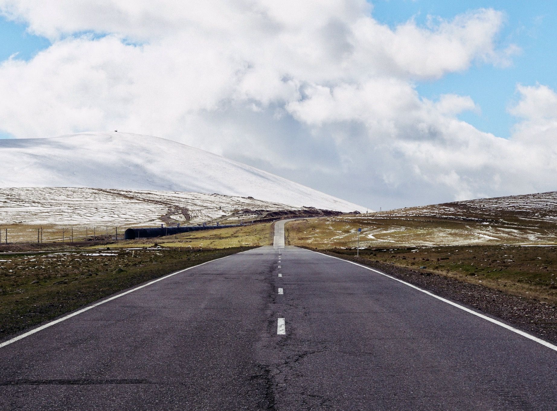
On the crossroads of civilisation – Georgia, mountains to coast
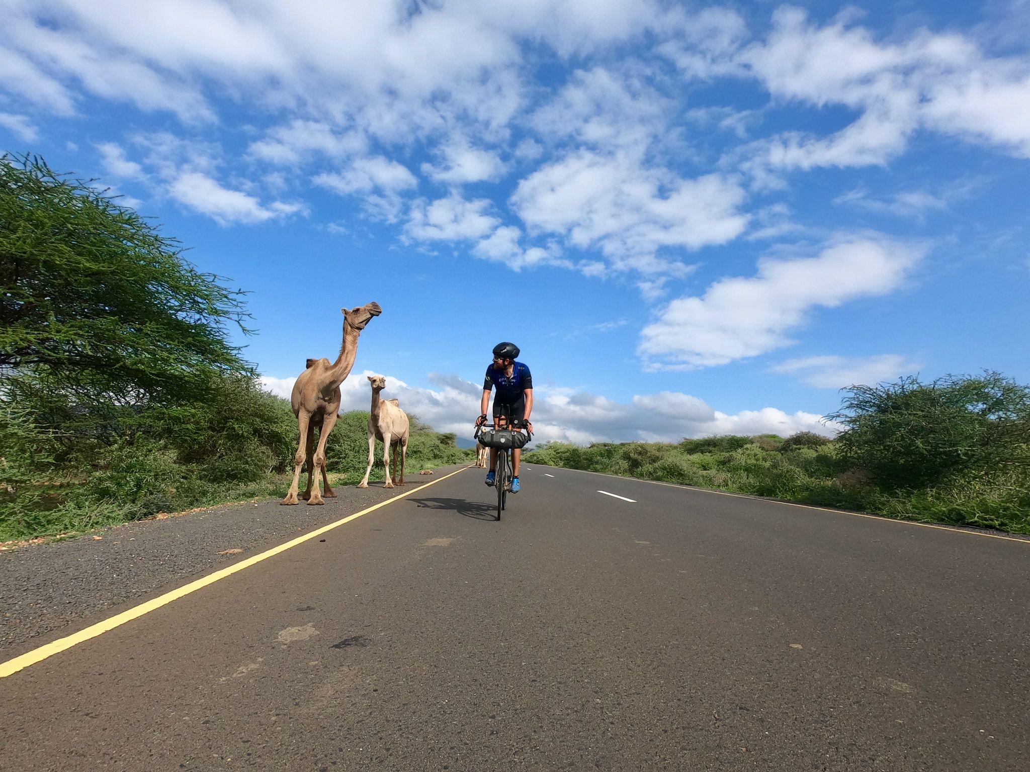
Cape to Cape Challenge – 18,000km in 73 days
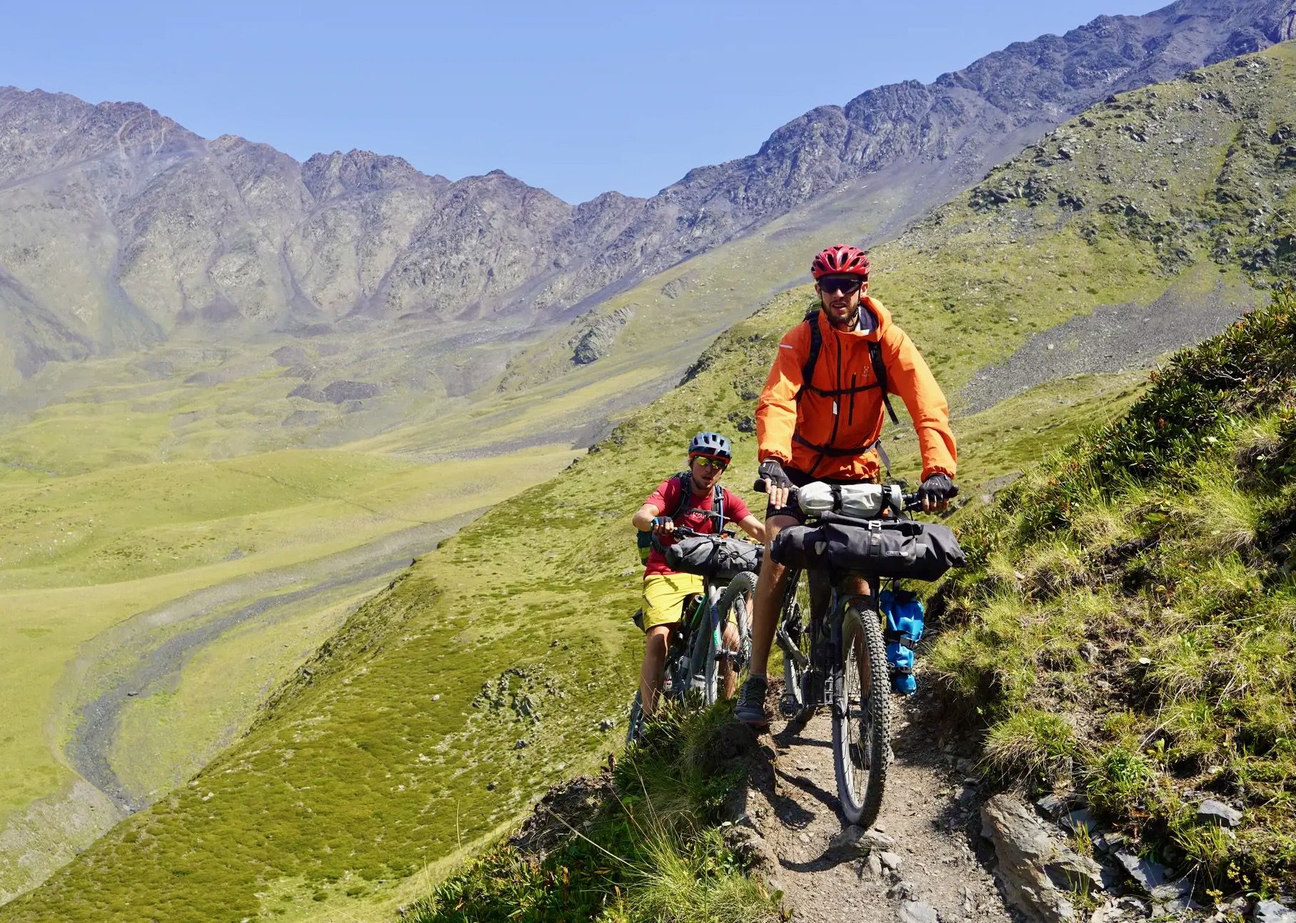
Georgia’s Caucasus Crossing
Other adventures in Georgia


Tips from the Community

Great views of Mount Kazbek and the glacier. Long drop toilet. Beer, 20GEL, tea & coffee 10GEL. Warm fire inside.
0
0

The Gergeti Trinity Church was the cultural highlight of a tour. Easily accessible from Stepantsminda, a visit is worthwhile just for the great view.
0
0

Hikers Inn is a café, restaurant and hotel at the foot of Ushba, from where the popular hiking trails to the Shdugra waterfall and the Ushba glacier start, but also where multi-day treks cross. An ideally located meeting point for hikers. Cozy place!
2
0

We take a Delica to Mazeri and begin walking along an easy, steep, and easy-to-find path that leads directly to Georgia's most powerful waterfall.
0
0

Cozy cafe with a mountain view (if you're lucky with the weather).
0
0


Mount Kazbek or Mount Kazbegi is a dormant stratovolcano and one of the major mountains of the Caucasus, located in Georgia, just south of the border with Russia.
1
0
If you climb mountain early in the morning you'll be able to attend Orthodox religious ceremony
0
0
Frequently Asked Questions
How many bus-accessible hiking trails are available in Georgia?
Georgia offers a wide array of hiking opportunities accessible by bus. You can explore over 220 routes, ranging from easy strolls to challenging mountain ascents, all starting conveniently from bus stations.
What kind of terrain can I expect on bus-accessible hikes in Georgia?
Georgia's diverse landscape means you'll encounter a variety of terrains. Routes can take you through the towering peaks of the Appalachian Mountains, dramatic canyons like those at Cloudland Canyon or Providence Canyon, serene coastal wetlands, or alongside impressive waterfalls. Expect everything from rugged mountain paths to gentler forest trails.
Are there easy bus-accessible hikes suitable for beginners or families?
Yes, there are plenty of easy options. Over 115 of the bus-accessible routes are classified as easy, making them perfect for beginners, families, or those looking for a relaxed outdoor experience. These trails often feature gentle gradients and well-maintained paths.
What is the best time of year to hike from bus stations in Georgia?
The best time to hike in Georgia generally depends on the region and your preference. Spring (March-May) offers pleasant temperatures and blooming wildflowers, while Fall (September-November) provides stunning foliage. Summer can be hot and humid, especially in lower elevations, but mountain trails offer cooler escapes. Winter hiking is possible, particularly in southern Georgia, but higher elevations may experience snow and colder conditions.
How do other hikers rate the bus-accessible trails in Georgia?
The bus-accessible hiking trails in Georgia are highly regarded by the komoot community, boasting an average rating of 4.6 out of 5 stars from over 3,600 reviews. Hikers frequently praise the diverse scenery, well-marked paths, and the convenience of public transport access.
Are there bus-accessible hikes that feature waterfalls?
Absolutely! Georgia is renowned for its stunning waterfalls. One notable bus-accessible route is the Gveleti Waterfall loop from გველეთის გაჩერება, which takes you to the beautiful Gveleti Waterfall. Other areas like Amicalola Falls, Raven Cliff Falls, and Tallulah Gorge also offer spectacular waterfall views, though specific bus routes to their trailheads may vary.
Can I find circular routes accessible by bus in Georgia?
Yes, many bus-accessible routes are designed as circular loops, allowing you to start and end your hike at the same point without needing to retrace your steps. Examples include the challenging Gergeti Holy Trinity Church – Gergeti Watchtower loop from Stepantsminda and the scenic Mestia Viewpoint Cross – View over Mestia loop from Mestia.
What natural features or landmarks can I see on these trails?
You'll encounter a wealth of natural beauty and historical landmarks. Northern Georgia offers breathtaking mountain views, including parts of the Appalachian Trail. Dramatic canyons like Providence Canyon and Cloudland Canyon provide unique geological formations. You can also explore historical sites such as the David Gareja Lavra Monastery or the ancient Vardzia Cave Monastery, both accessible via routes that connect to bus services.
Are these bus-accessible trails suitable for dogs?
Dog-friendliness varies by specific park and trail regulations. While many state parks and national forests in Georgia allow leashed dogs on trails, some protected areas or specific routes might have restrictions. Always check the rules for the particular trail or park you plan to visit beforehand to ensure a pleasant experience for you and your canine companion.
Are there any permit requirements for hiking in Georgia's national parks or state parks accessible by bus?
Most general hiking trails in Georgia's state parks and national forests do not require specific hiking permits, though some state parks may have a small entrance fee. For more adventurous activities like descending into Tallulah Gorge or accessing certain wilderness areas, permits are often required and should be secured in advance. Always check the official website of the specific park or protected area for the most current information on fees and permits.
What should I bring for a bus-accessible hike in Georgia?
For any hike in Georgia, it's essential to bring plenty of water, especially during warmer months. Comfortable hiking shoes, appropriate clothing layers, sun protection (hat, sunscreen), and a map or GPS device (like komoot's app) are highly recommended. Snacks, a first-aid kit, and insect repellent are also good additions. If you plan to hike in remote areas, consider bringing a power bank for your phone and informing someone of your itinerary.
Most popular routes in Georgia
Most popular attractions in Georgia

Get inspired with the komoot mobile app


Didn’t find what you were looking for?
Check out more Hikes throughout Georgia below and find the perfect route in your destination.
Explore more
Browse the best Hikes in other regions.
