The best traffic-free bike rides around Heiligenschwendi
4.5
(717)
16,746
riders
51
rides
No traffic road cycling routes around Heiligenschwendi are situated in the Bernese Oberland, offering diverse terrain for road cyclists. The region is characterized by its elevated position above Lake Thun, providing extensive views of the lake and the surrounding Bernese Alps, including prominent peaks like Eiger, Mönch, and Jungfrau. Cyclists navigate paved roads through forests and open meadows, encountering significant ascents and descents that contribute to varied elevation gains. The topography includes winding roads and climbs, making it suitable for…
Last updated: July 10, 2026
4.6
(5)
118
riders
37.9km
02:13
830m
830m
Moderate road ride. Good fitness required. Mostly well-paved surfaces and easy to ride.
53
riders
45.5km
02:09
470m
470m
Moderate road ride. Good fitness required. Some segments of this route may be unpaved and difficult to ride.

Sign up for free
5.0
(1)
41
riders
19.5km
01:22
550m
550m
Moderate road ride. Good fitness required. Mostly well-paved surfaces and easy to ride.
3.0
(2)
26
riders
34.5km
01:34
290m
290m
Easy road ride. Great for any fitness level. Mostly well-paved surfaces and easy to ride.
18
riders
30.4km
02:15
960m
960m
Hard road ride. Very good fitness required. Mostly well-paved surfaces and easy to ride.
Get access to more routes and recommendations from other explorers.
Sign up for free
Already have an account?
Our route recommendations are based on thousands of hikes, rides, and runs completed by other people on komoot.
Start today with a free account
Your next adventure awaits.
Login or Signup
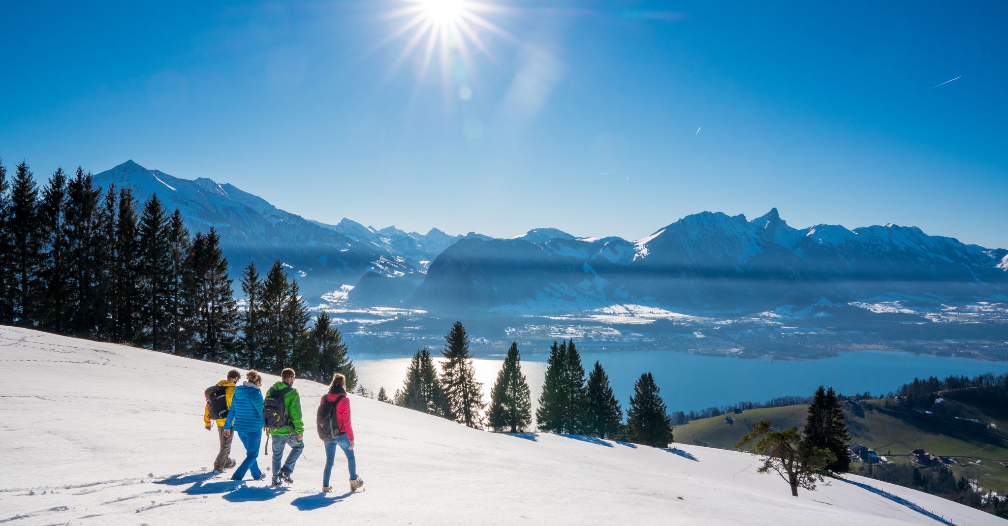
Other adventures around Heiligenschwendi

Tips from the Community

View of the upper Aare loop on the Scherzligweg
0
0

Magnificent view! Very quiet, little traffic!
0
0


The asphalted pavement from Kreuzweg is in very good smooth condition and always offering spectacular view to please the eye. Don’t descent too quickly as one will miss the views.
0
0
The descent from Rachholtern to Lueghuebel should be done with caution. The pavement here has a lot of loose gravel and tar which can sweep the tyres from underneath you causing you to fall. Reduce your speed and drive cautiously. Is is only a small patch of pavement like this, from Lueghuebel to the bottom is very good asphalt. At the intersection there is an opening which offers a great view of Steffisburg and Thun from above.
0
0

Lake Gerzensee is privately owned. It's not possible to walk around it. From Kirchdorf, there's a dirt road that leads to a wonderful seating area.
0
0

Lake Gerzen is a lake located between the villages of Gerzensee, Mühledorf, and Kirchdorf in the canton of Bern, Switzerland. Its water level is at an average elevation of 603 meters above sea level. At normal water levels, the lake is approximately 8.5 meters deep on average and reaches a maximum of 11 meters deep, and has a surface area of 0.25 km², making it one of the medium-sized pre-Alpine lakes in Switzerland.
1
0
Frequently Asked Questions
How many no-traffic road cycling routes are available around Heiligenschwendi?
There are over 50 dedicated no-traffic road cycling routes around Heiligenschwendi, offering a wide range of distances and difficulty levels. This ensures there's a suitable option whether you're looking for an easy spin or a challenging climb.
What kind of terrain and elevation can I expect on these car-free road cycling routes?
The no-traffic road cycling routes around Heiligenschwendi feature predominantly paved surfaces, ideal for road bikes. You can expect significant ascents and descents, with some routes involving substantial elevation gain, often exceeding 450 meters (1,500 feet). This varied topography provides both engaging challenges and rewarding panoramic views of Lake Thun and the Bernese Alps.
Are there any easy, car-free road cycling routes suitable for beginners in Heiligenschwendi?
Yes, approximately 14 of the no-traffic road cycling routes around Heiligenschwendi are rated as easy. These routes offer a gentler introduction to the region's beautiful scenery without the stress of heavy traffic. An example of an easy route is the View of Thun – View of Gerzensee loop from Thun, which provides lovely vistas with manageable elevation.
What are the best times of year for no-traffic road cycling in Heiligenschwendi?
The mild climate and ample sunshine, particularly around nearby Spiez, make Heiligenschwendi an excellent destination for road cycling from spring through autumn. Summer offers the warmest temperatures, while spring and autumn provide pleasant conditions with vibrant natural colors and generally fewer crowds. Always check local weather forecasts before heading out.
What scenic viewpoints or natural features can I see along the no-traffic road cycling routes?
Many routes offer breathtaking panoramic views of Lake Thun and the majestic Bernese Alps, including the iconic Eiger, Mönch, and Jungfrau. You'll also encounter picturesque forests and open meadows. For specific natural attractions, consider exploring the gorges around Heiligenschwendi, such as the Cholerenschlucht Gorge or the Eriz Valley.
Are there any challenging car-free road cycling routes for experienced riders?
Absolutely. Around 9 of the no-traffic road cycling routes are rated as difficult, featuring substantial elevation gains and demanding climbs. For a challenging ride with incredible views, consider the Beatenberg Mountain Road – View of Lake Brienz loop from Sigriswil, which includes nearly 1,000 meters of ascent.
Can I find circular no-traffic road bike routes around Heiligenschwendi?
Yes, many of the no-traffic road cycling routes in the region are designed as loops, allowing you to start and finish at the same point. For example, the Eriz Valley – Flüeli Ascent loop from Thun offers a moderate circular ride through varied landscapes.
What do other road cyclists enjoy most about the no-traffic routes in Heiligenschwendi?
The area is highly rated by the komoot community, with an average score of 4.5 stars from over 600 reviews. Cyclists frequently praise the stunning panoramic views of Lake Thun and the Alps, the well-maintained paved surfaces, and the peaceful, car-free nature of the routes, which allows for an immersive experience in the Bernese Oberland's natural beauty.
Are there any historical landmarks or attractions along these routes?
Yes, several routes incorporate historical landmarks. Loops around Lake Thun often pass by impressive structures like Thun Castle, Oberhofen Castle, and Spiez Castle. The charming Thun Old Town is also a popular point of interest. While cycling, you might also pass by unique huts and viewpoints, such as the Läbeshuus Heiligenschwendi or the Äschlenalp.
How can I access these no-traffic road cycling routes using public transport?
Heiligenschwendi and the surrounding Bernese Oberland region are well-connected by public transport. You can often reach starting points of routes, such as Thun or Sigriswil, by train or bus. Many routes are designed to be accessible from these transport hubs, allowing you to combine cycling with public transit for a seamless experience.
Are there any family-friendly no-traffic road cycling routes in the area?
While many routes involve significant elevation, there are easier options that families might enjoy, especially those with some cycling experience. Look for routes rated as 'easy' which tend to have less demanding climbs and shorter distances. Always check the route details for specific elevation profiles and distances to ensure it matches your family's ability.
Where can I park my car to access these car-free road cycling routes?
Parking is generally available in the larger towns and villages that serve as common starting points for these routes, such as Thun or Sigriswil. Look for designated public parking areas. From these points, you can easily connect to the car-free sections of the road cycling network.
Most popular routes around Heiligenschwendi
Most popular attractions around Heiligenschwendi

Get inspired with the komoot mobile app


Explore more
Browse the best Road cycling routes in other regions.
