The best city hikes and walks around Landquart
4.6
(11777)
74,735
hikers
13
hikes
Urban hiking trails around Landquart offer a diverse range of landscapes within the canton of Graubünden, Switzerland. The region features a mix of river paths, local forests, and routes that provide views of surrounding mountain scenery and vineyards. Trails often follow the Landquart River, providing accessible walking experiences. The area's terrain includes gentle gradients suitable for easy walks, alongside routes with moderate elevation changes.
Best urban hiking trails around Landquart
- The most popular urban hiking route is View of Marschlins…
Last updated: August 20, 2026
5.0
(1)
8
hikers
2.94km
00:45
10m
10m
Easy hike. Great for any fitness level. Easily-accessible paths. Suitable for all skill levels.
5
hikers
Moderate hike. Good fitness required. Easily-accessible paths. Suitable for all skill levels.

Sign up for free
5
hikers
Easy hike. Great for any fitness level. Easily-accessible paths. Suitable for all skill levels.
5
hikers
Moderate hike. Good fitness required. Easily-accessible paths. Suitable for all skill levels.
8
hikers
8.40km
02:08
20m
20m
Moderate hike. Good fitness required. Easily-accessible paths. Suitable for all skill levels.
Get access to more routes and recommendations from other explorers.
Sign up for free
Already have an account?
Our route recommendations are based on thousands of hikes, rides, and runs completed by other people on komoot.
Start today with a free account
Your next adventure awaits.
Login or Signup
Popular around Landquart
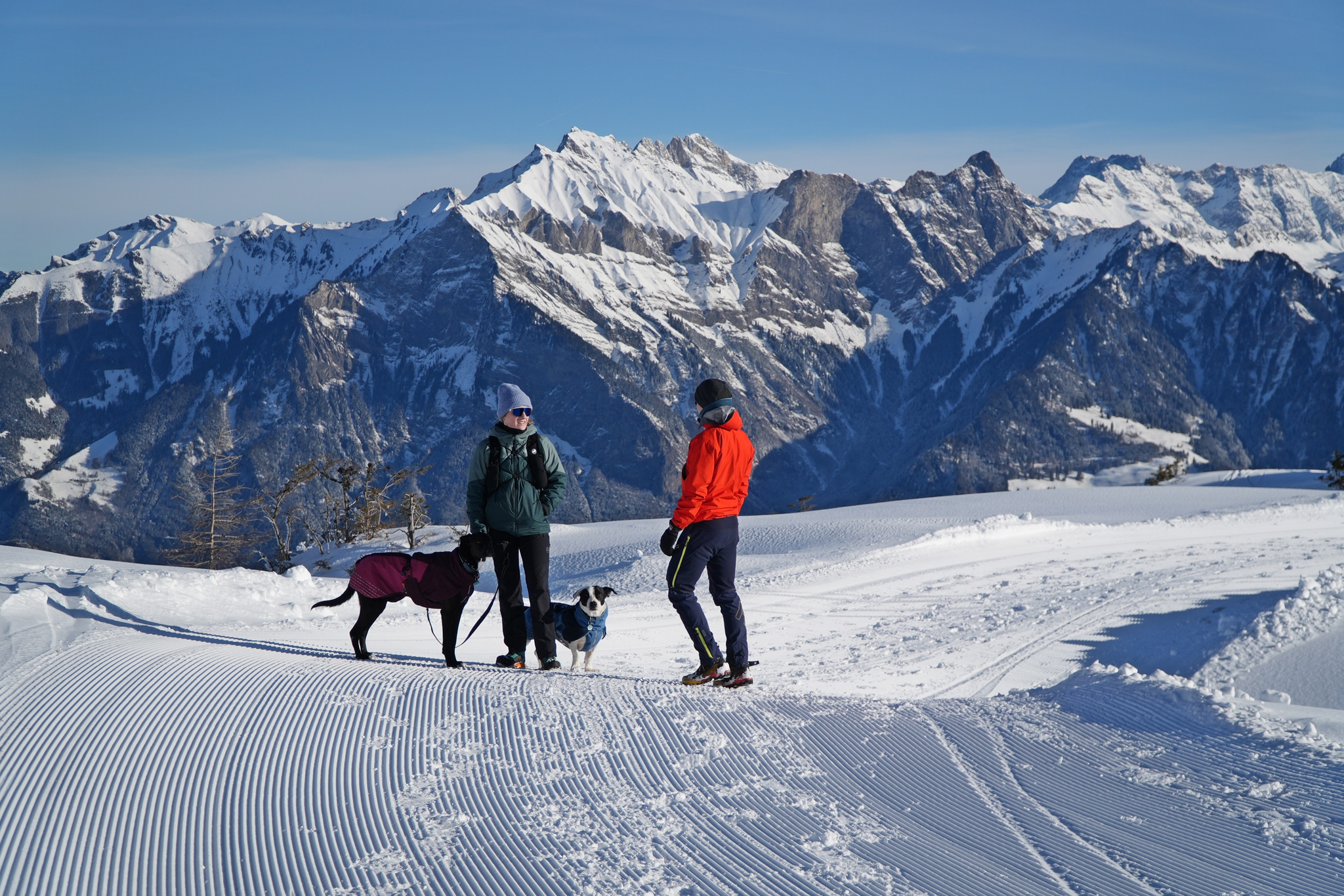
Enchanting winter hikes with dogs in Eastern Switzerland
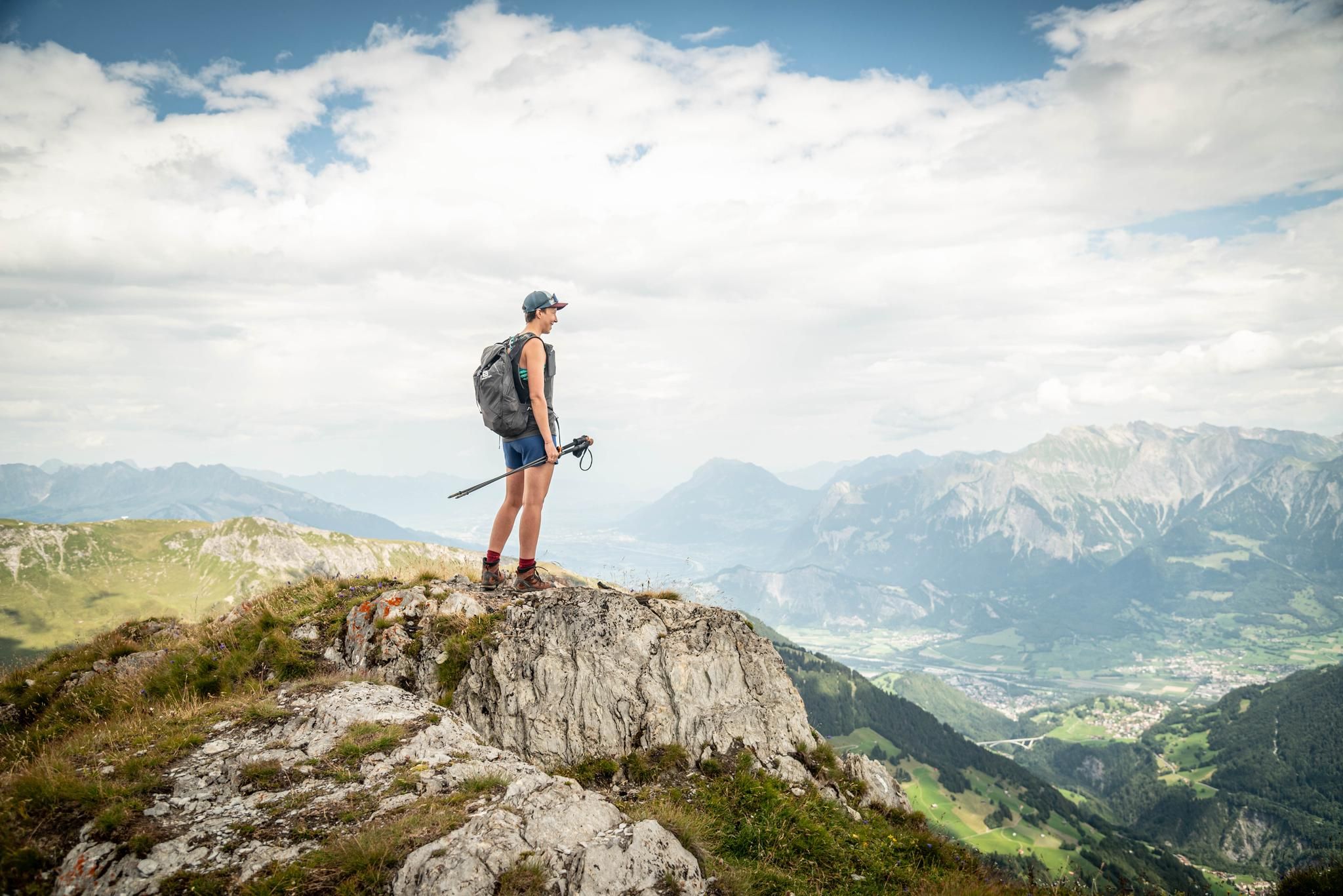
Peak bagging hikes in Heidiland
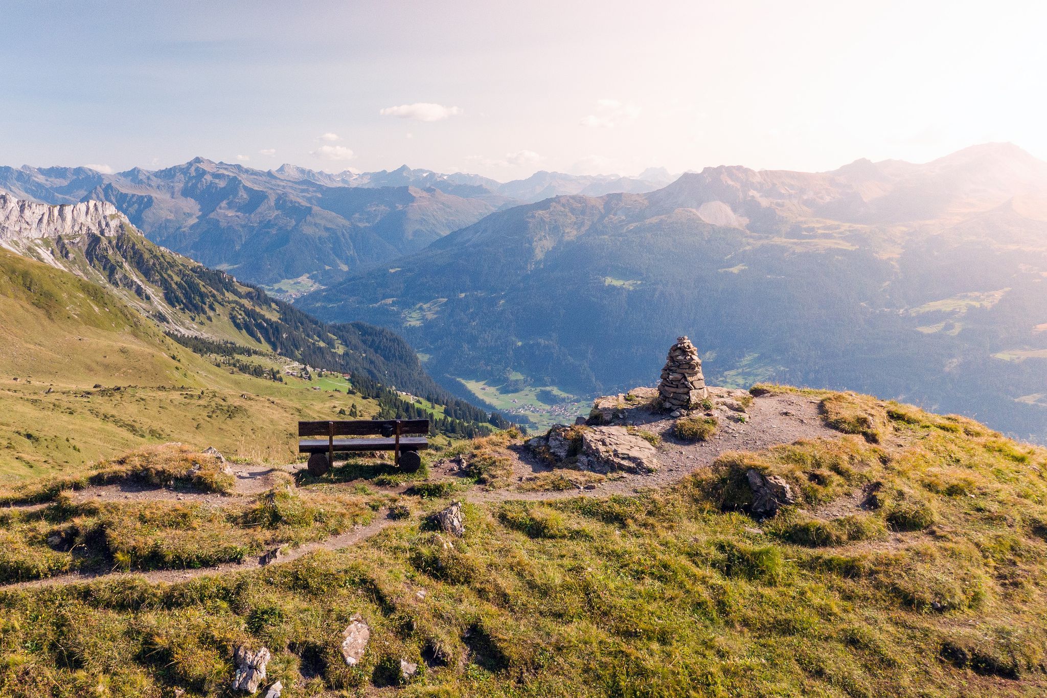
Prättigau High Trail – discover the sunny side of the Rätikon

Blue lakes, wide panoramas & autumnal splendour – hiking in Heidiland
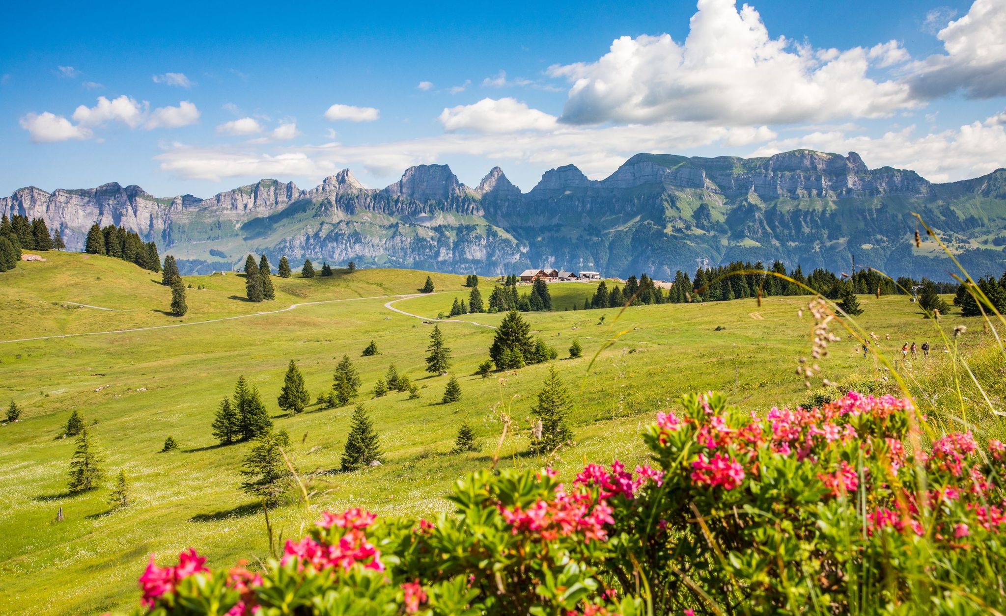
Pure Swiss mountain idyll – hikes in Heidiland
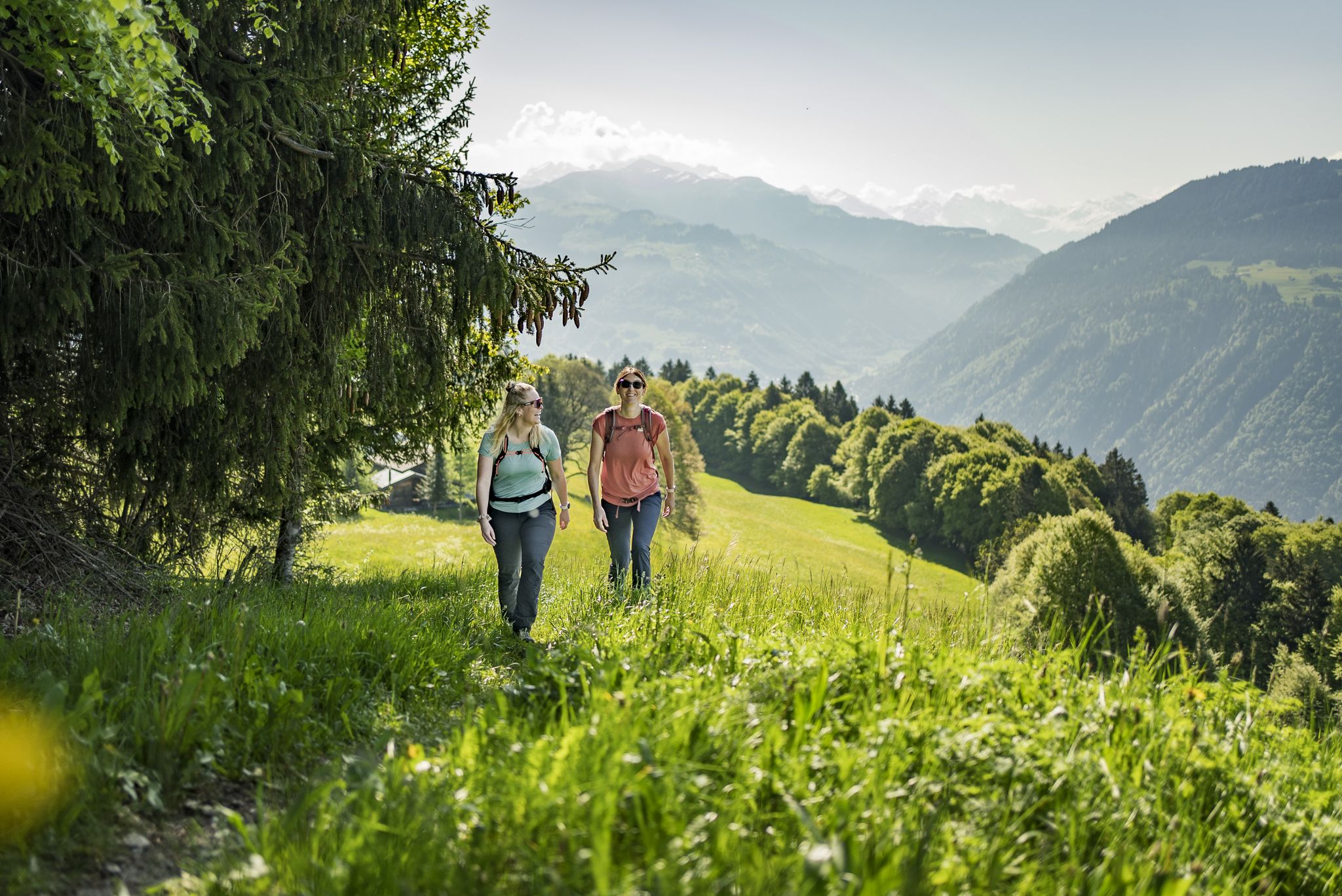
Step into the hiking season – spring routes in Graubünden
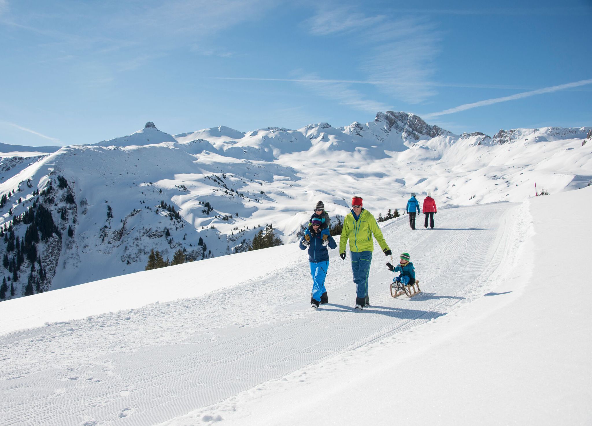
Family-friendly winter hikes in Eastern Switzerland
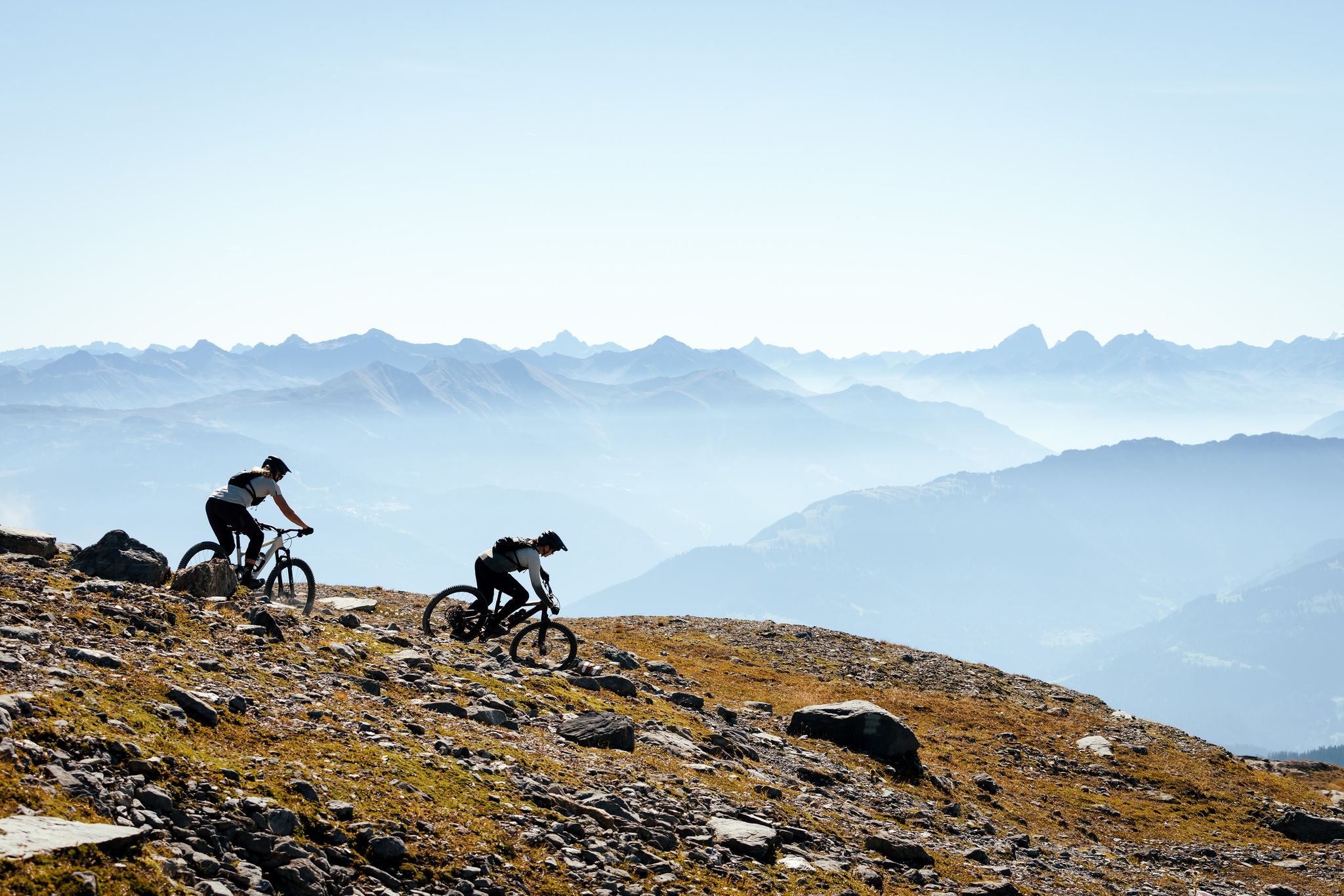
100% Women: the most beautiful MTB routes for every woman
Other adventures around Landquart


Tips from the Community


Landquart Station since July 1, 1858 Landquart Station is a connecting station in the Swiss canton of Graubünden on the SBB Sargans–Chur line and the narrow-gauge lines of the Rhaetian Railway to Davos and Chur(–Thusis). It is now located in the municipality of Landquart. Landquart Station opened on July 1, 1858, as part of the Chur–Rheineck line. It experienced a change of ownership during the construction of the line, as the Südostbahn, which had begun construction of the line, became the property of the United Swiss Railways (VSB) on May 1, 1858. At that time, the station was located almost in an open field, at the northwestern end of the municipality of Igis, but far outside the main settlement of Igis and significantly closer to the center of St. Antoni (Mastrils), at the mouth of the Landquart River, a few hundred meters south of the old Rohan ski jump. Only gradually did a few factories settle nearby, exploiting the river's hydropower. Since 1859, with the opening of the Sargans–Rapperswil–Rüti (ZH) line, trains to Zurich were possible, although they had to take a detour through the Glatt Valley and negotiate a hairpin bend in Rapperswil. In 1875, the Left Bank Lake Zurich Railway (Laufufrige Zürichseebahn) began operation, making direct trains to Zurich possible. The station became a transfer station in 1889, when the Landquart–Davos AG (LD) narrow-gauge railway opened its line to Davos. This company became the Rhaetian Railway in 1895, and Landquart station remains the starting point for the kilometering of all lines in the company's so-called main network. Because it was a narrow-gauge railway, freight had to be reloaded and trains had to be changed in Landquart. At the same time, a workshop was built here at the starting point of the LD, which later became the main workshop of the Rhaetian Railway. Chur has also been accessible by narrow-gauge railway since 1896. At the beginning of the last century, a narrow-gauge railway project was developed between Schaan and Landquart. Since 1902, the station has belonged to the Swiss Federal Railways. It developed into an important freight hub, where freight is transshipped between the RhB and SBB. Text / Source: wikipedia.org https://de.wikipedia.org/wiki/Bahnhof_Landquart
17
0
Landquart Fashion Outlet Outlet Shopping – Over 160 Brands at Irresistibly Low Prices Amidst the picturesque backdrop of the Graubünden mountains, the Landquart Fashion Outlet awaits you. Just 60 minutes from Zurich, 90 minutes from Lucerne, or 10 minutes from Chur. More than 80 stores offer fashion, accessories, home and lifestyle products, as well as a fascinating selection of outdoor and sporting goods. Stroll through the chalet-style shopping village, enjoy the enchanting atmosphere, and indulge in fine cuisine at the Margaux restaurant. Open 363 days a year, 10:00 a.m. to 7:00 p.m., including Sundays. Special offers for tourists: available at the Tourist Information Center Text / Source: Switzerland Tourism https://www.myswitzerland.com/de-ch/erlebnisse/landquart-fashion-outlet/
15
0
Landquart Fashion Outlet Outlet Shopping – Over 160 Brands at Irresistibly Low Prices Amidst the picturesque backdrop of the Graubünden mountains, the Landquart Fashion Outlet awaits you. Just 60 minutes from Zurich, 90 minutes from Lucerne, or 10 minutes from Chur. More than 80 stores offer fashion, accessories, home and lifestyle products, as well as a fascinating selection of outdoor and sporting goods. Stroll through the chalet-style shopping village, enjoy the enchanting atmosphere, and indulge in fine cuisine at the Margaux restaurant. Open 363 days a year, 10:00 a.m. to 7:00 p.m., including Sundays. Special offers for tourists: available at the Tourist Information Center Text / Source: Switzerland Tourism https://www.myswitzerland.com/de-ch/erlebnisse/landquart-fashion-outlet/
16
1

Information about the outlet (opening hours, stores) can be found here: https://www.landquartfashionoutlet.ch/
4
0


on the Rhine cycle path
1
0
Frequently Asked Questions
How many urban hiking trails are available around Landquart?
There are over a dozen urban hiking trails around Landquart, offering a variety of experiences. Most of these routes are rated as easy, with a few moderate options for those seeking a bit more challenge.
What kind of landscapes can I expect on urban hikes in Landquart?
Urban hikes in Landquart often feature a mix of scenic river paths along the Landquart River, views of the surrounding mountain ranges like Rätikon and Silvretta, and walks through local vineyards and meadows. You might also encounter historical landmarks and charming village settings.
Are there any family-friendly urban walks in Landquart?
Yes, many of the urban trails are suitable for families. Routes that follow the Landquart River are generally easy and flat, perfect for a relaxed outing. For example, the View of Marschlins Castle – Flower Field in Graubünden loop from Landquart is an easy option that offers pleasant scenery.
Can I bring my dog on urban hikes in Landquart?
Yes, Landquart's urban trails are generally dog-friendly. Many paths, especially those along the river and through meadows, provide ample space for dogs. Always remember to keep your dog on a leash where required and clean up after them.
Are there any circular urban hiking routes in Landquart?
Absolutely. Most urban hikes in Landquart are designed as circular routes, allowing you to start and end at the same point. An example is the Landquart Station – Landquart Fashion Outlet loop from Landquart, which is convenient for public transport users.
What interesting landmarks or attractions can I see on an urban hike?
Urban hikes around Landquart offer glimpses of various points of interest. You might pass by historic structures like Salenegg Castle or enjoy views of Neuenburg Castle Ruins. Some routes also lead through picturesque flower fields or past local churches, such as on the Landquart Fashion Outlet – Church in Landquart loop from Landquart.
What is the best time of year for urban hiking in Landquart?
The best time for urban hiking in Landquart is typically from spring to autumn. Spring brings blooming wildflowers, while summer offers warm weather. Autumn provides charming landscapes with fall colors. Even winter can be suitable for urban walks, especially on cleared paths, offering a different, tranquil experience.
Are there urban hikes accessible by public transport in Landquart?
Yes, many urban hiking trails in Landquart are easily accessible by public transport. Routes often start near the Landquart train station or other local bus stops, making it convenient to reach the starting point without a car. The Landquart Station – Landquart Fashion Outlet loop from Landquart is a prime example.
What do other hikers enjoy most about urban hiking in Landquart?
The komoot community highly rates urban hiking in Landquart, with an average score of 4.7 stars. Reviewers often praise the well-maintained paths, the accessibility of the trails, and the pleasant mix of natural scenery with local points of interest. The ease of finding circular routes and the family-friendly nature of many walks are also frequently highlighted.
Are there any urban routes that offer scenic viewpoints?
While urban hikes generally stay at lower elevations, some routes offer lovely scenic viewpoints, particularly over the Landquart River or towards the surrounding mountains. For broader panoramic views, you might consider slightly longer, moderate routes like the View of Marschlins Castle – Flower Field in Graubünden loop from Igis, which provides vistas of the landscape including Marschlins Castle.
How long do urban hikes in Landquart typically take?
The duration of urban hikes in Landquart varies depending on the route and your pace. Many easy loops can be completed within 1 to 2 hours, covering distances of 3 to 7 kilometers. Longer, moderate options might take 2 to 3 hours. For instance, the Flower Field in Graubünden – View of Marschlins Castle loop from Landquart is an easy route that takes around 1.5 hours.
Most popular routes around Landquart
Most popular attractions around Landquart

Get inspired with the komoot mobile app


Explore more
Browse the best Hikes in other regions.
