The best traffic-free bike rides around Airolo
4.8
(543)
38,034
riders
6
rides
No traffic road cycling routes around Airolo are characterized by challenging alpine terrain and dramatic mountainous scenery, nestled in the canton of Ticino at the foot of the Gotthard massif. The region features high-altitude landscapes overlooking the Leventina Valley, with routes often incorporating historic passes. This area offers a diverse environment for road cyclists seeking significant elevation gains and panoramic views.
Best no traffic road cycling routes around Airolo
- The most popular no traffic road cycling route is Lago del…
Last updated: July 10, 2026
5.0
(1)
22
riders
33.7km
02:28
1,260m
1,260m
Hard road ride. Very good fitness required. Some segments of this route may be unpaved and difficult to ride.
38
riders
40.3km
03:04
1,680m
1,680m
Hard road ride. Very good fitness required. Mostly well-paved surfaces and easy to ride.

Sign up for free
6
riders
21.4km
01:39
780m
780m
Moderate road ride. Good fitness required. Mostly well-paved surfaces and easy to ride.
4.5
(2)
7
riders
16.6km
01:04
500m
500m
Moderate road ride. Good fitness required. Mostly well-paved surfaces and easy to ride.
5
riders
9.71km
00:43
380m
380m
Moderate road ride. Good fitness required. Some segments of this route may be unpaved and difficult to ride.
Our route recommendations are based on thousands of hikes, rides, and runs completed by other people on komoot.
Start today with a free account
Your next adventure awaits.
Login or Signup
Popular around Airolo
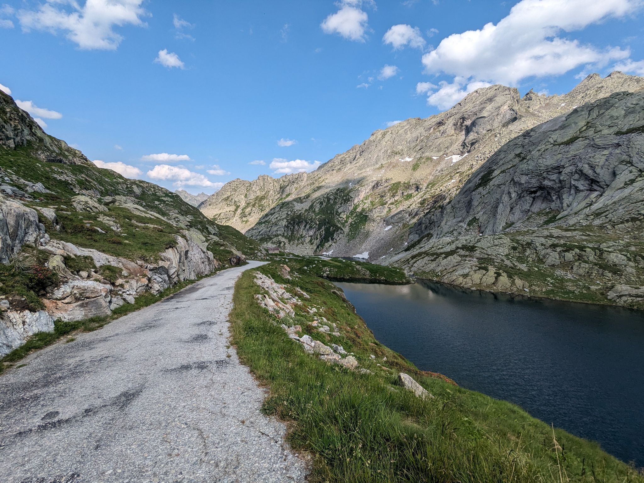
Great passes and green valleys – Ticino climbs
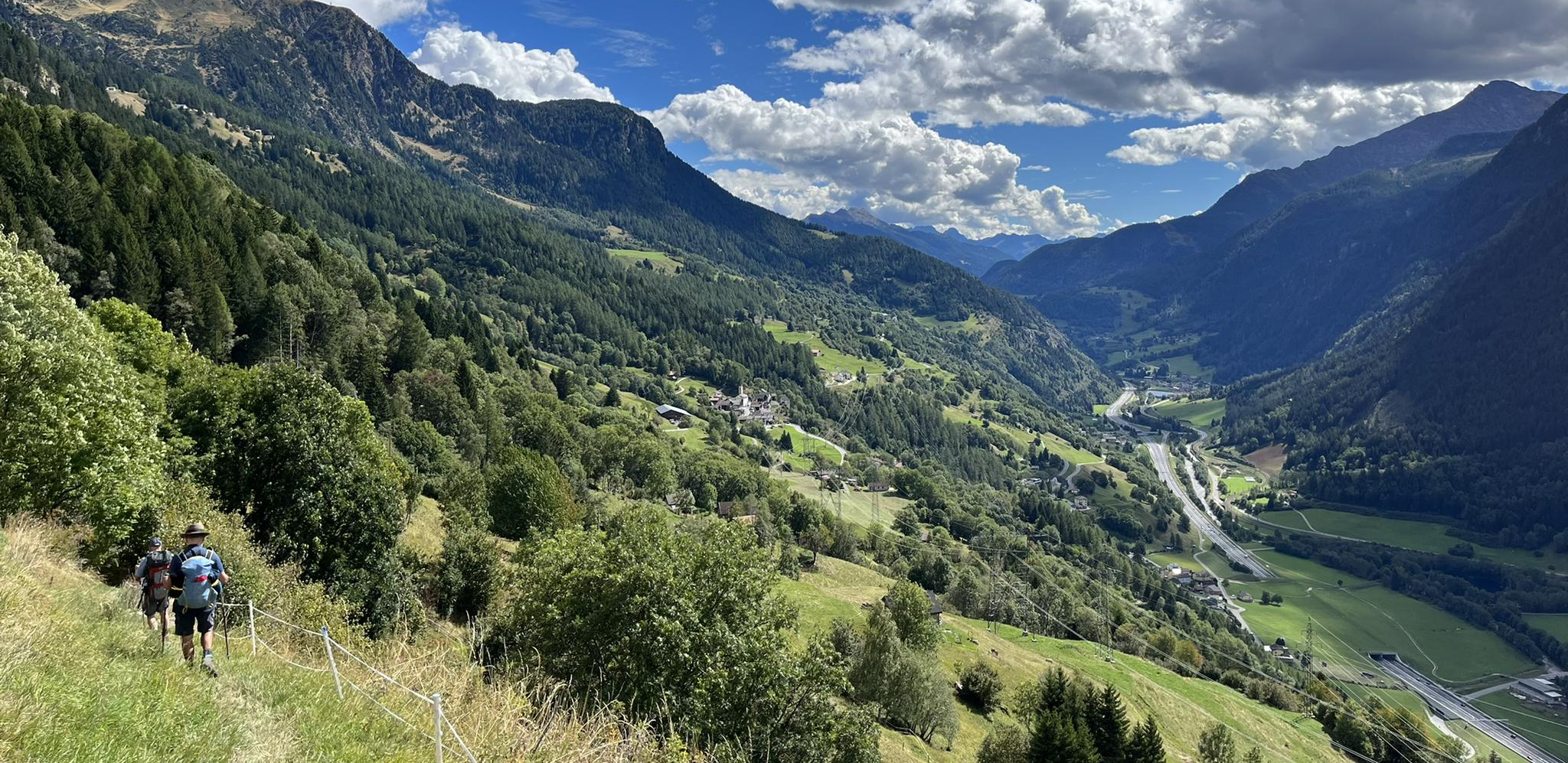
Strada alta – Hiking in the sun terrace of Switzerland
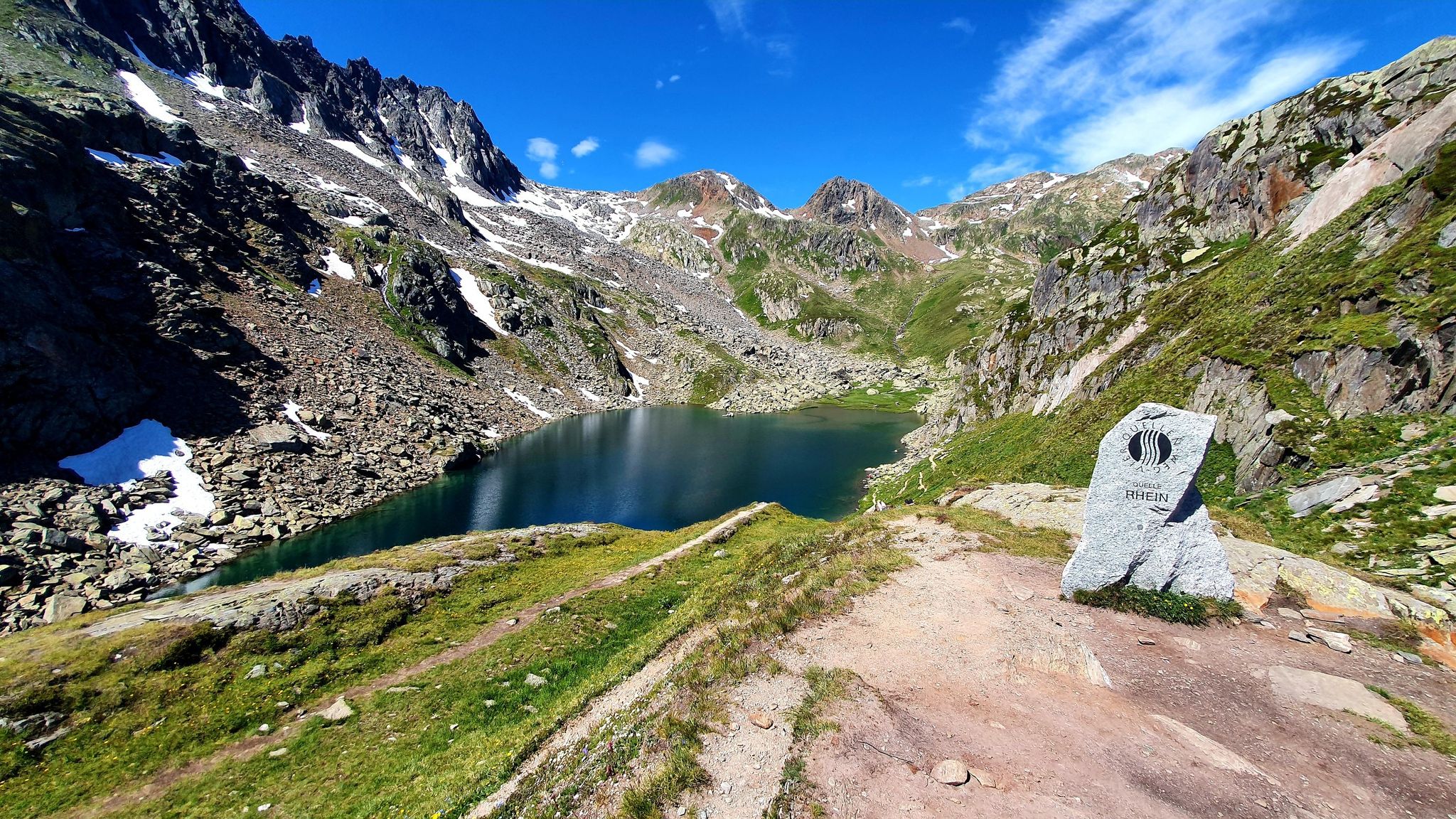
Four Springs Trail — Find flow in Switzerland's Gotthard Massif

Alpine Passes Trail in Switzerland – 34 stages of pure mountain fun

Trans Swiss Trail – Hiking across Switzerland

Via Gottardo – Following historic trails
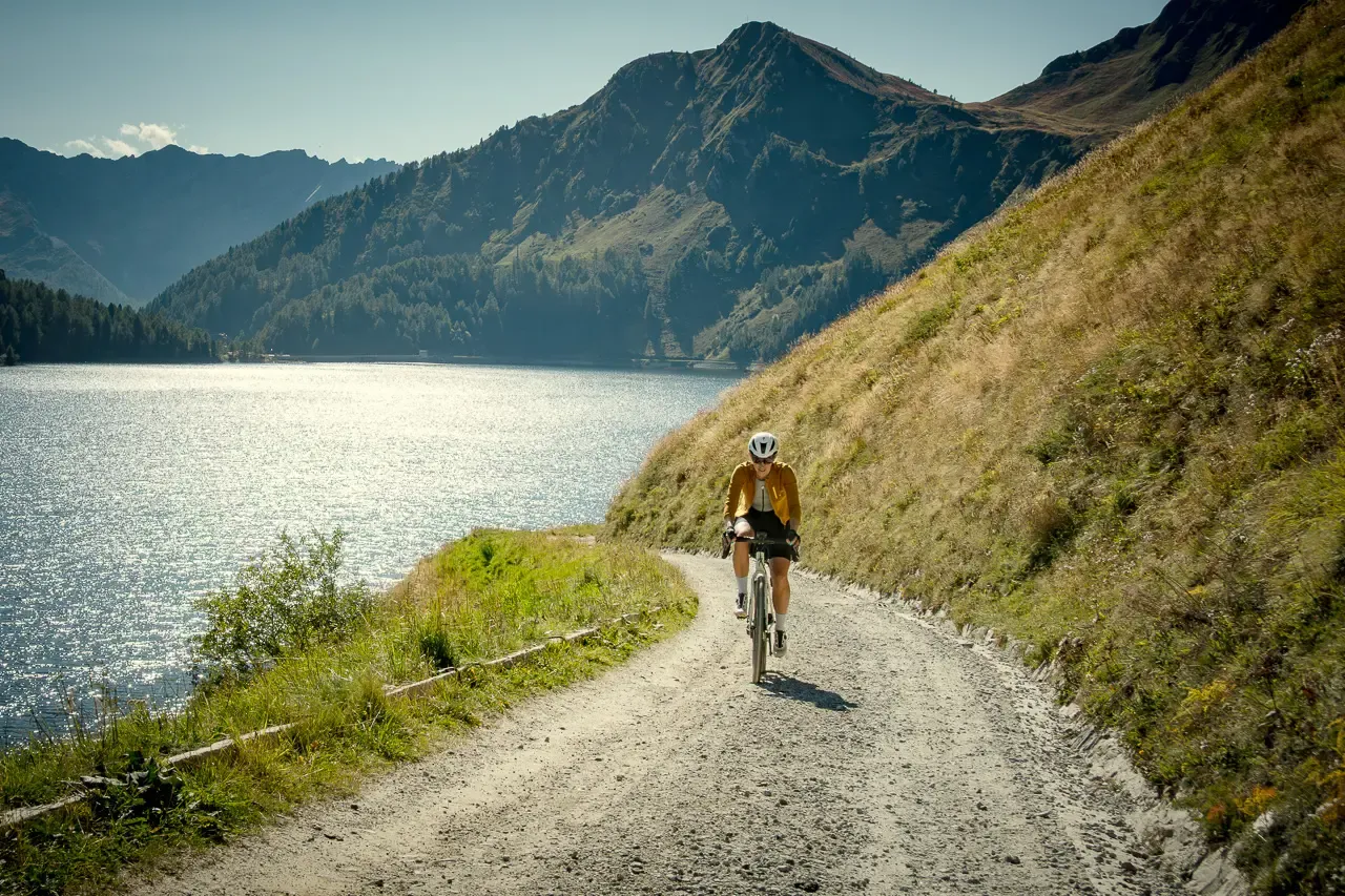
Ticino hut-to-hut: a 3-day alpine gravel escape
On the hunt for crystals and alpine lake magic – Gotthard Crystal Trek
On the hunt for crystals and alpine lake magic – Gotthard Crystal Trek
A legendary crossing of the Alps – Gottardo Bike Route
Other adventures around Airolo


Tips from the Community

it's a mountain road, what do you expect, a highway? sure with a SUV it's a bit narrow but, it's asphalted and at altitude with dirt it's like on the white roads in Tuscany, moreover the Alpe Piora is famous for its cheese and the Lake Cadagno is world-famous for its three layers
0
0


Village with magnificent views of the Gotthard Massif
0
0

At 2,478 meters above sea level, the Nufenen Pass (Nufenenpass in German) connects the Goms Valley in the upper Valais with the Bedretto Valley in the upper Ticino. From Airolo, the climb is approximately 22 kilometers (average gradient 5.6%), while from Ulrichen it is shorter but more challenging: 14 kilometers at an average gradient of approximately 7.9%.
0
0


As others have already said: It's tough, steep, and beautiful here! It's best to split the climb into shorter stages, so the 2,000 meters of elevation gain over 30 kilometers from Bignasco aren't quite as terrifyingly daunting. From Bignasco to Prato Sornico, it's rarely very steep. There are a few flat sections where you can pick up a decent pace. After Mogno (visit the church in Botta) and up to Fusio, things really get going for the first time. Many hairpin bends soften the incredibly nasty ramps, but your legs will still be tested here! Up to the Sambucco reservoir, it becomes truly idyllic, green, and quiet. There are a few tough climbs, but even here, the difficulty is still manageable. There's a fountain at the summer restaurant: fill up your bidons again, because there are only streams and gullies here. After the relaxing flat section by the lake, the final and most strenuous part of the climb follows. The scenery is stunning, but it's steep all the way to the top! Wow!
1
0

Frequently Asked Questions
How many traffic-free road cycling routes are available around Airolo?
This guide features 5 dedicated traffic-free road cycling routes around Airolo, offering a peaceful experience away from cars. These routes provide options for various fitness levels, from moderate to difficult.
Are there any challenging traffic-free road cycling routes in Airolo for experienced riders?
Yes, Airolo offers demanding traffic-free routes perfect for experienced road cyclists. For a significant climb and stunning views, consider the Lago del Narèt Climb, which is rated difficult and features over 1,200 meters of elevation gain. Another challenging option is the Lago Ritom – View of Ambri Valley loop from Piotta Centrale.
What is the best time of year for traffic-free road cycling in Airolo?
The best time for traffic-free road cycling in Airolo is typically during the summer months, from June to September. During this period, the high alpine passes are usually clear of snow, and the weather is most favorable for cycling, allowing you to fully enjoy the stunning panoramas and vibrant natural landscapes.
Are there any family-friendly or beginner-suitable traffic-free road cycling routes?
While many routes in Airolo involve significant climbs due to the alpine terrain, some moderate options can be suitable for families or beginners with good basic fitness. The Fusio – Sambuco Dam loop from Fusio is a moderate route with just under 500 meters of elevation, offering a scenic ride without extreme difficulty.
What kind of views can I expect on these traffic-free road cycling routes?
The traffic-free routes around Airolo offer spectacular alpine panoramas. You'll experience barren high-altitude landscapes, descend through woods, pass old farmhouses, and enjoy views of valleys like Leventina. Routes often feature stunning natural monuments and mountain peaks, providing constant visual rewards.
Are there any loop routes among the traffic-free options?
Yes, several traffic-free routes in Airolo are designed as loops, allowing you to start and end at the same point. Examples include the Lago Ritom – View of Ambri Valley loop from Piotta Centrale and the Fusio – Sambuco Dam loop from Fusio, providing convenient circular journeys.
What are some notable attractions or points of interest near the traffic-free cycling routes?
Beyond the cycling itself, the Airolo region is rich in natural and historical attractions. You can explore fascinating geological formations like the Gorge of Lucomagno or discover unique underground sites such as the Cioss Prato Crystal Cave. For a break, consider visiting one of the charming mountain huts like Capanna Piansecco.
Are there opportunities for cafe stops or refreshments along the traffic-free routes?
While the routes are traffic-free, many pass through or near small villages and mountain huts where you can find opportunities for refreshments. The region's huts, such as Cristallina Hut or Cadlimo Hut, often offer food and drinks, providing perfect spots to refuel and enjoy the scenery.
How can I access the traffic-free road cycling routes using public transport?
Airolo is a strategic road and rail hub, making it accessible by public transport. Many routes can be reached from Airolo itself, which has a train station. For routes starting slightly further afield, like the Lago Ritom loop from Piotta Centrale, local bus services often connect to starting points in the surrounding valleys. Always check local timetables for specific connections.
What do other road cyclists enjoy most about traffic-free cycling in Airolo?
The traffic-free road cycling routes in Airolo are highly rated by the komoot community, with an average score of 4.9 stars. Reviewers often praise the unparalleled peace and quiet, the challenging yet rewarding climbs, and the breathtaking alpine scenery that makes every pedal stroke worthwhile.
Are there any routes that offer views of glaciers or other unique natural features?
Yes, some cycling routes in the broader Airolo region, particularly those venturing higher into the Gotthard Pass area, can offer views of natural wonders like the Gries Glacier. The high-altitude landscapes themselves are a unique feature, characterized by dramatic mountainous scenery.
How long do the traffic-free road cycling routes typically take to complete?
The duration of the routes varies significantly based on distance, elevation, and your cycling pace. For example, a moderate route like the Altanca – View of Ambri Valley loop from Airolo takes approximately 1 hour and 15 minutes, while a more challenging one like the Lago del Narèt Climb can take over 2 hours and 20 minutes.
Most popular attractions around Airolo

Get inspired with the komoot mobile app


Explore more
Browse the best Road cycling routes in other regions.
