The best city hikes and walks around Entlebuch
4.6
(9159)
63,321
hikers
12
hikes
Urban hiking trails around Entlebuch traverse a diverse landscape, recognized as Switzerland's first UNESCO Biosphere Reserve. The region features extensive moorlands, rolling hills, and wild mountain streams. Its terrain includes lush meadows and forests, offering varied scenery for urban walks.
Best urban hiking trails around Entlebuch
- The most popular urban hiking route is Sarneraa River in Sarnen – Fountain at Sarnen Village Square loop from Sarnen, a 3.2 miles (5.1 km) trail that takes 1 hour 18 minutes to…
Last updated: June 27, 2026
5.0
(1)
17
hikers
Easy hike. Great for any fitness level. Easily-accessible paths. Suitable for all skill levels.
5.0
(1)
21
hikers
5.08km
01:18
20m
20m
Easy hike. Great for any fitness level. Easily-accessible paths. Suitable for all skill levels.

Sign up for free
10
hikers
Easy hike. Great for any fitness level. Easily-accessible paths. Suitable for all skill levels.
9
hikers
8.78km
02:24
130m
130m
Moderate hike. Good fitness required. Easily-accessible paths. Suitable for all skill levels.
7
hikers
Easy hike. Great for any fitness level. Easily-accessible paths. Suitable for all skill levels.
Get access to more routes and recommendations from other explorers.
Sign up for free
Already have an account?
Our route recommendations are based on thousands of hikes, rides, and runs completed by other people on komoot.
Start today with a free account
Your next adventure awaits.
Login or Signup
Popular around Entlebuch
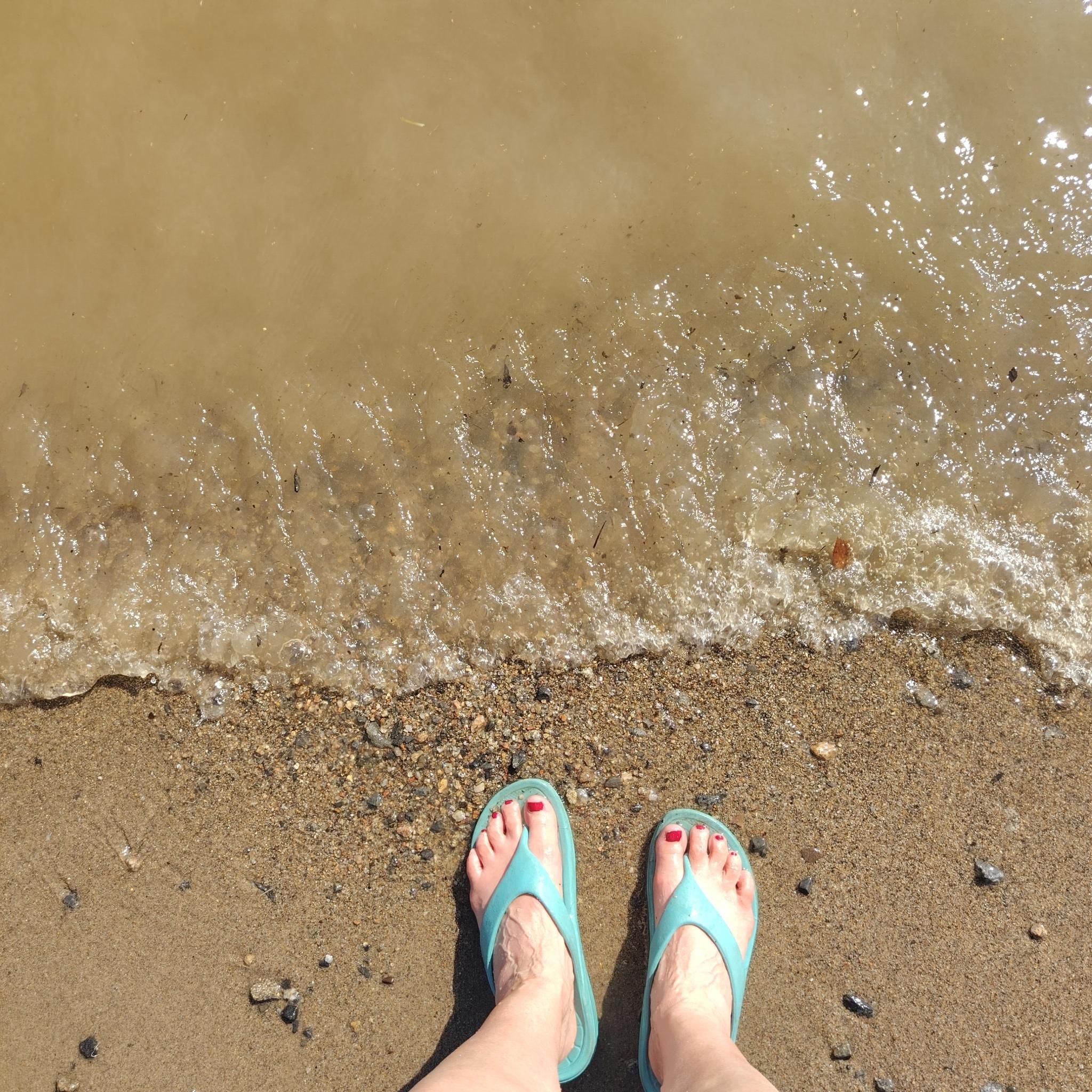
City hikes around Biosphäre Entlebuch
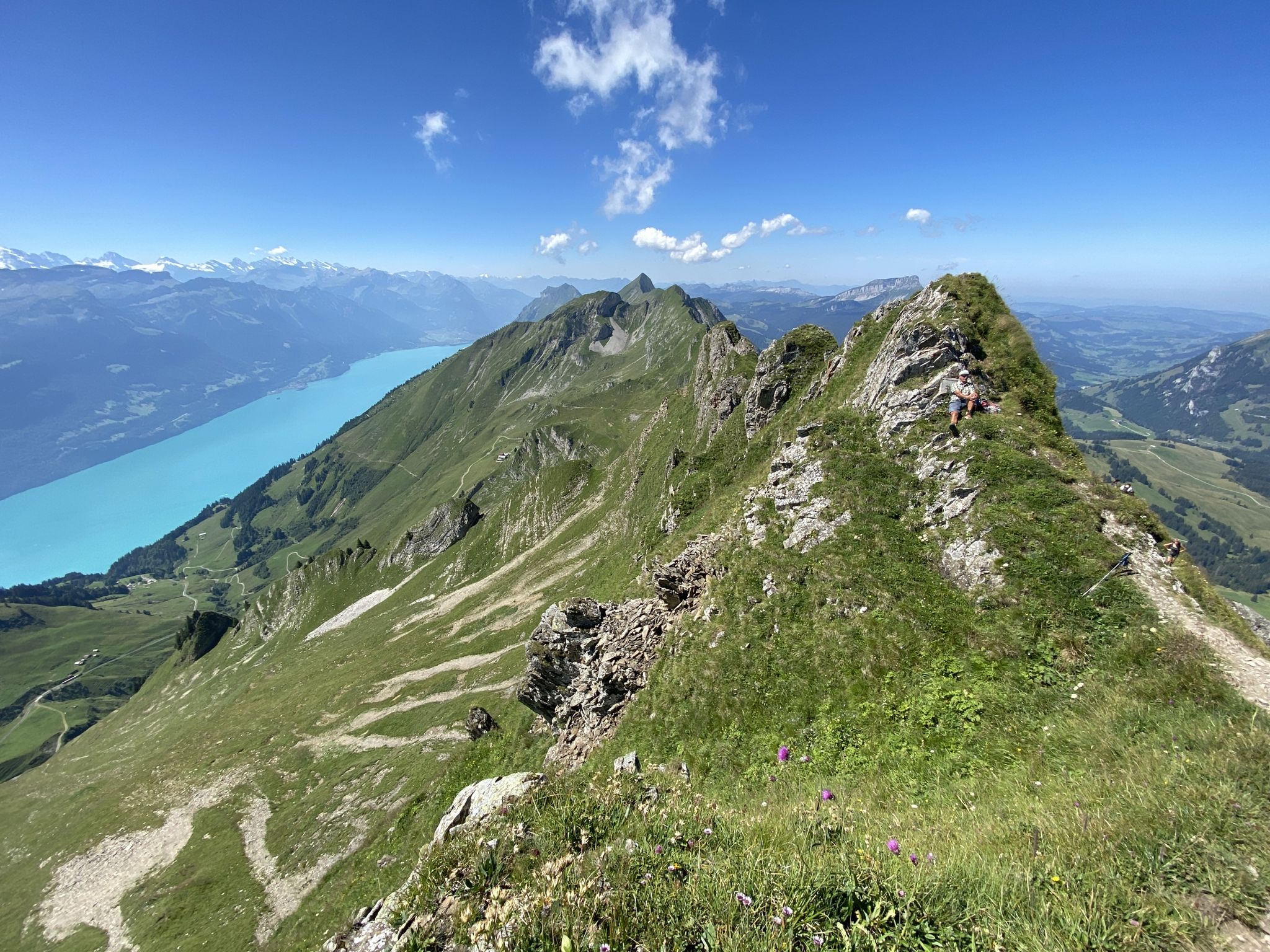
Napfbergland Border Trail – Hike between Bern and Lucerne

Alpine Panorama Trail in Switzerland – Keep your eyes on the mountains

Trans Swiss Trail – Hiking across Switzerland
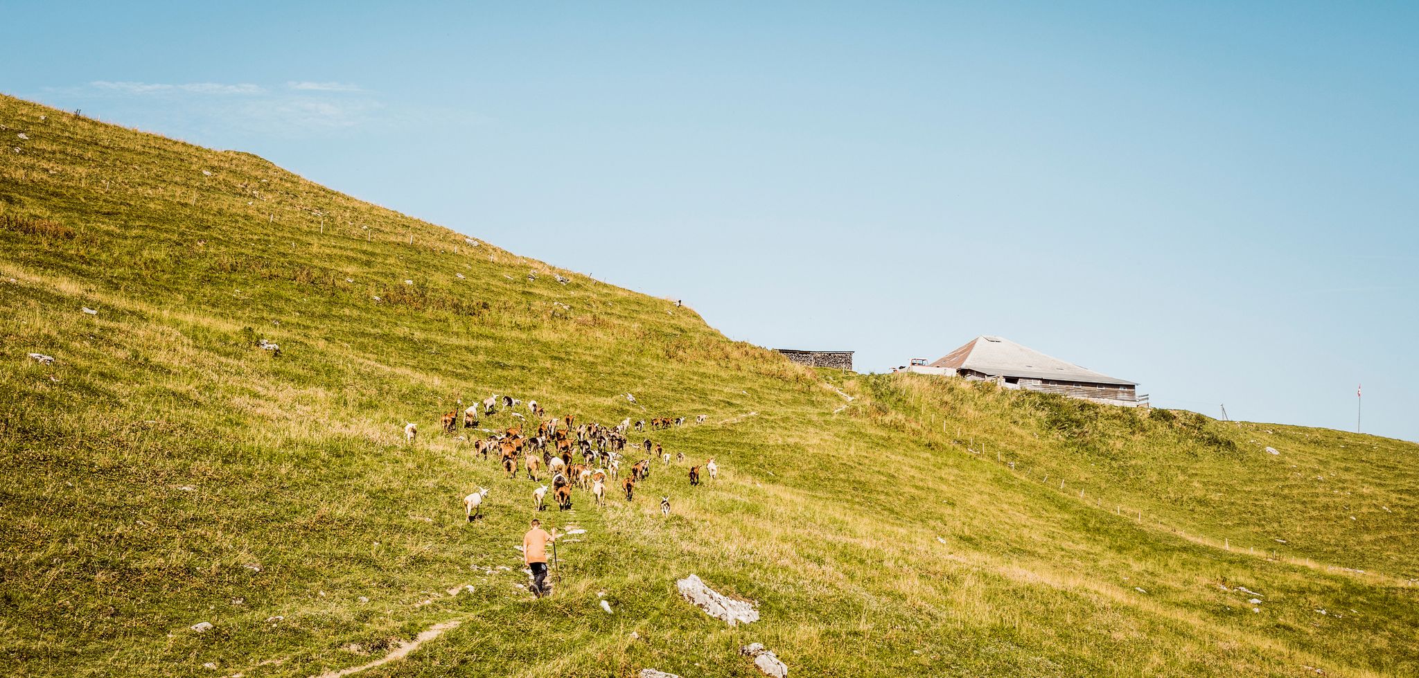
Swiss nature parks — Adrian the Goatherd of Bern
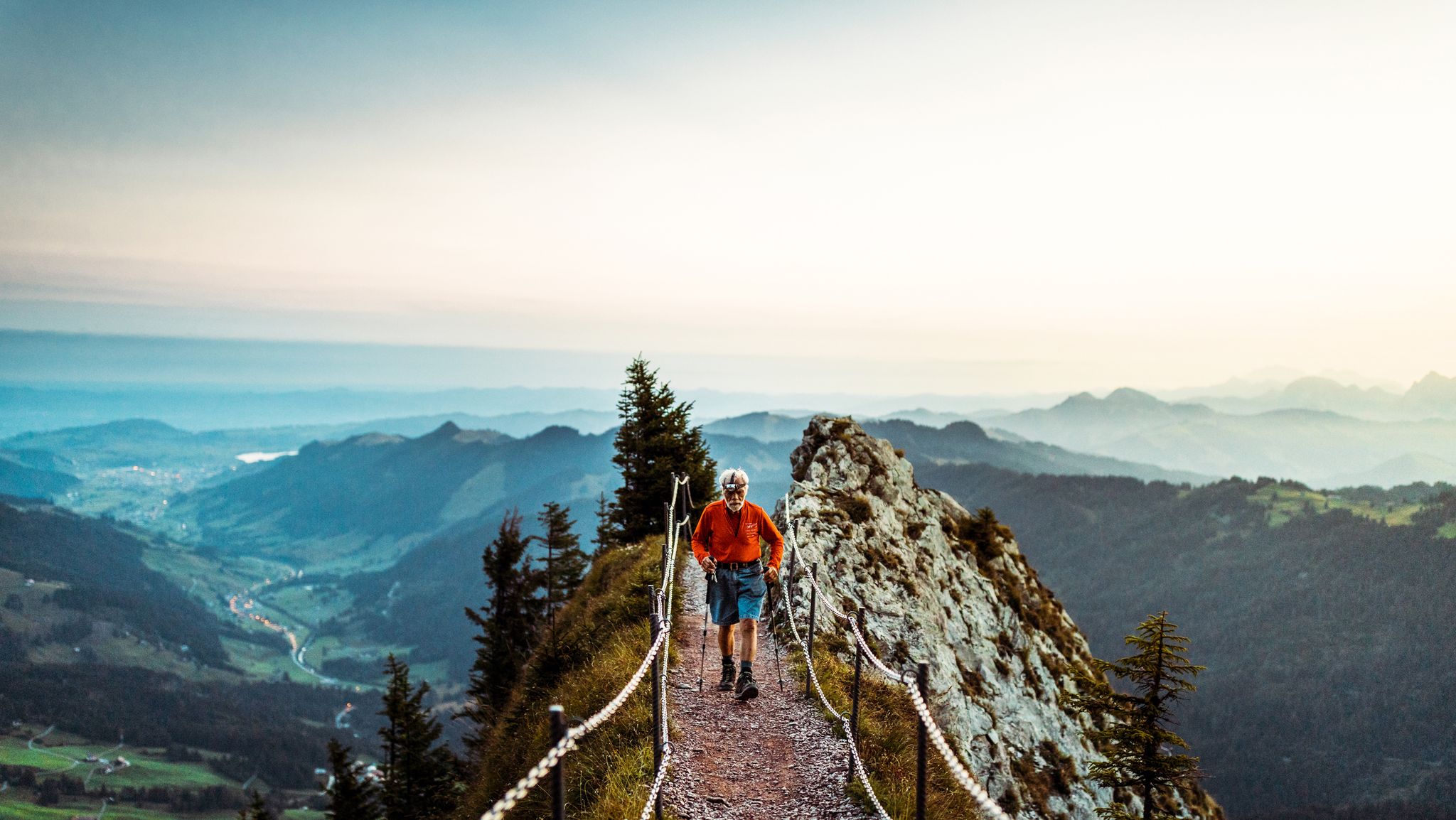
Lucerne — The Myth-man

Hope 1000 – Bikepacking Switzerland in 11 stages
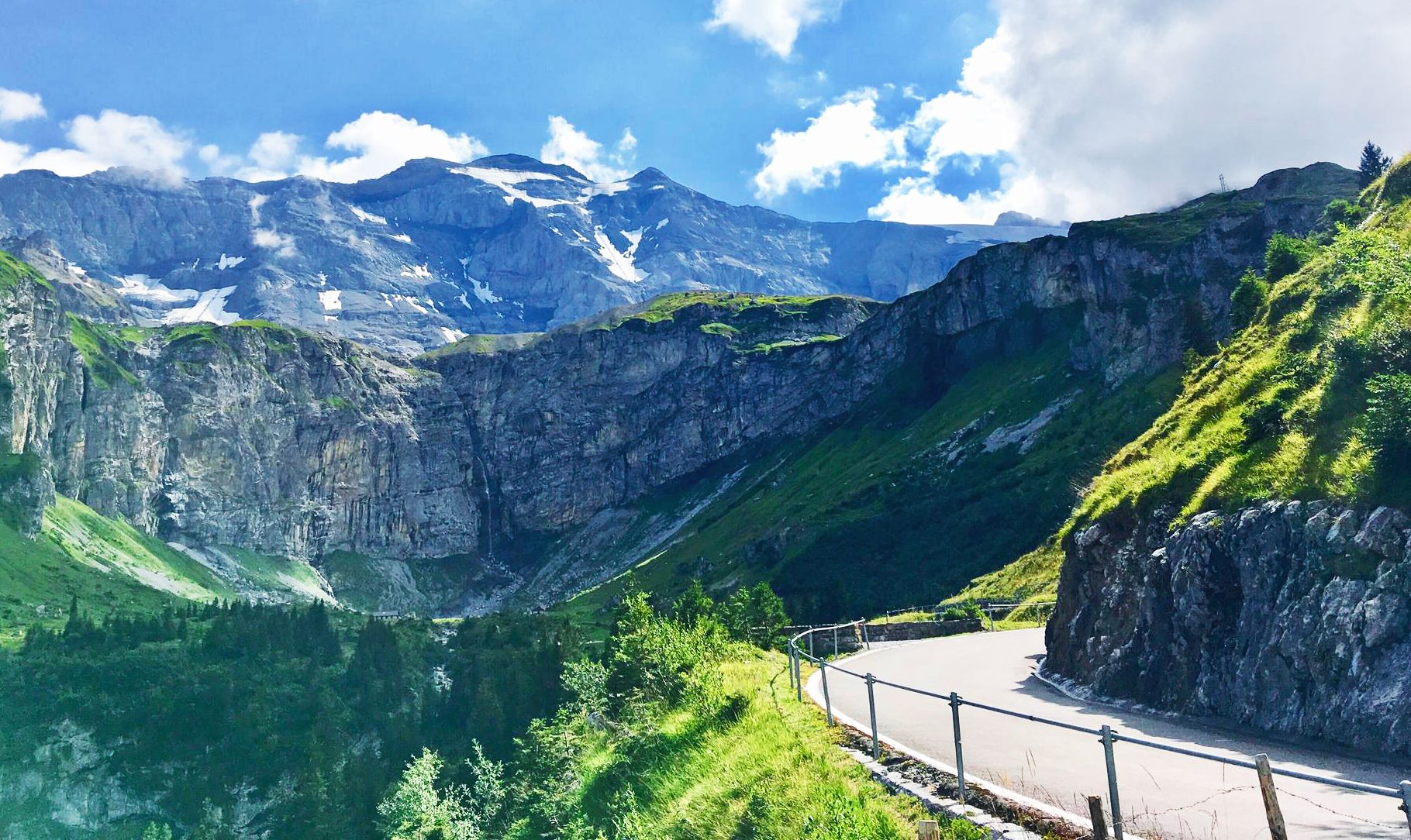
Alpine Panorama Route — 8 stages through the foothills of the Alps
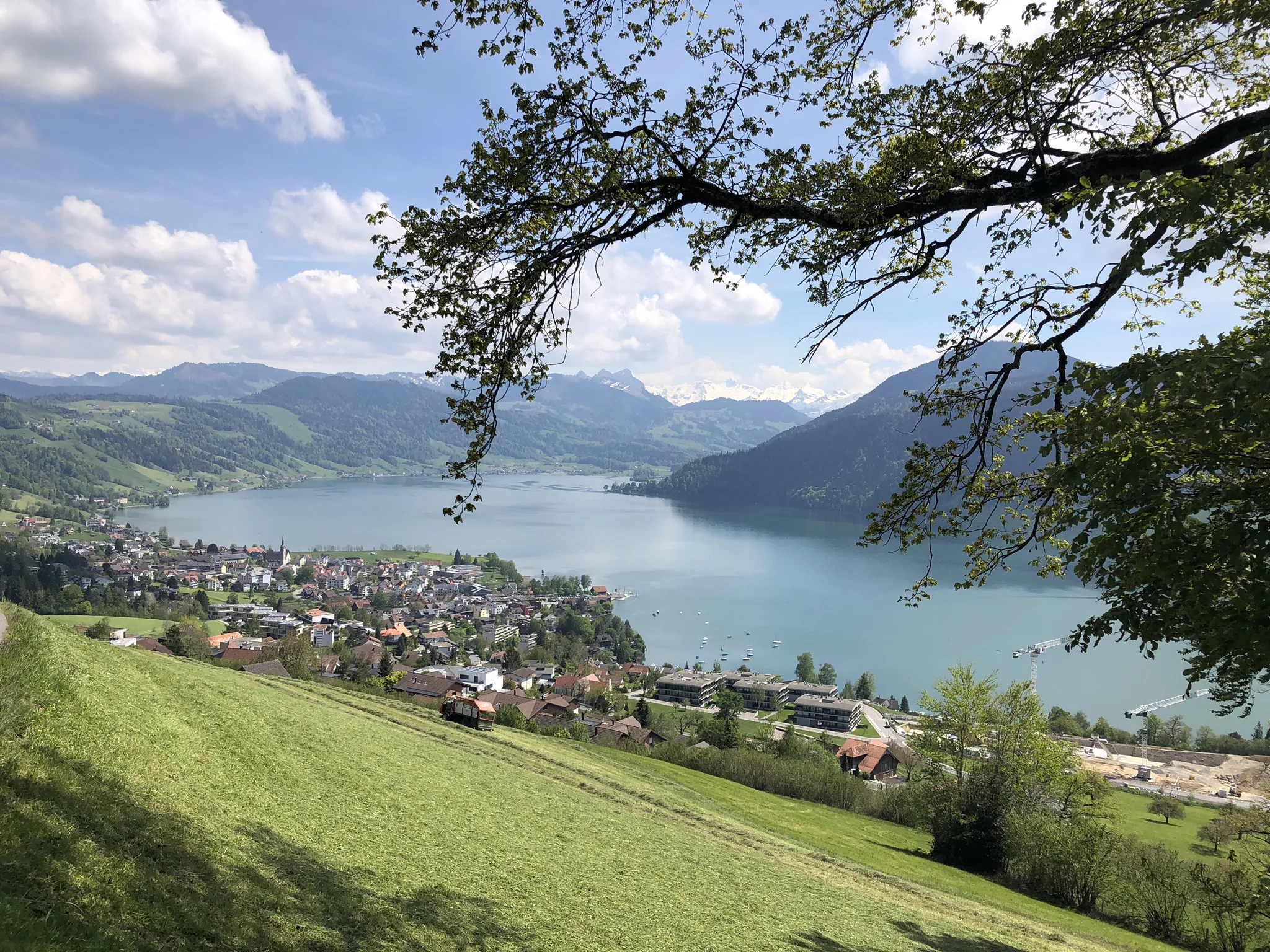
The Herzroute – Cycling through the heart of Switzerland
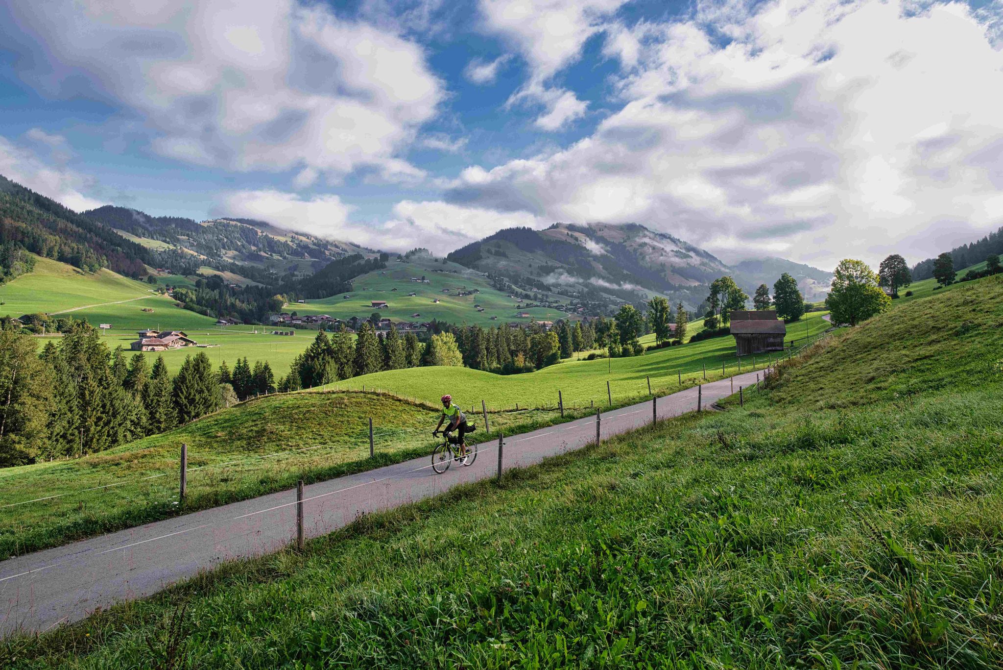
From Lake Constance to Lake Geneva
Other adventures around Entlebuch


Tips from the Community

Käpt’n Holger is located in the center of Langnau and is a popular meeting place for young and old. In summer, you can enjoy the delicious food and refreshing drinks on the terrace in front of the building, and in winter, warm up in the cozy rooms inside. The restaurant is very involved in the cultural life of Langnau, with regular concerts, readings, and other diverse events taking place. More info: https://www.kaeptnholger.ch/
0
0

The family-run Hotel Hirschen in Langnau im Emmental has 18 comfortable rooms that can be booked with full board, half board, or bed and breakfast. The traditional, listed Bernese house invites you to visit with its beautiful facade, carved beams, and decorated details. Whether inside in the restaurant or outside on the cozy terrace, you can relax here in a pleasant atmosphere and be pampered with culinary delights.
0
0

Anyone who has ever heard of or read about the SCL Tigers knows the euphoria and passion with which this team can inspire the masses when it comes to ice hockey. In Langnau, they have created a lasting legacy with their "Hockey Campus." The centerpiece of the campus is the second ice rink, which is the same size as those used in the NHL. The arena is equipped with a grandstand that offers seating for around 100 spectators, making it ideal for games of the youth teams or smaller tournaments.
0
0

A pleasant drinking water spring in a picturesque setting. Nearby refreshment options complete the offering.
0
0

There's currently a construction site and a detour on the Way of St. James towards Lake Lungern. I didn't want to risk having to walk on the country road, so I took a detour along the right side of the valley. There's a paved footpath and cycle path up to Lake Lungern.
0
0

Very beautiful hiking trail, especially in spring when the flowers and plants are in bloom.
0
0
The adventure playground at Tannwald in Seelisberg is a true paradise for little explorers: With numerous play equipment, two barbecue areas, and an adjacent forest, it offers everything a child's heart desires. A water hydrant provides refreshment on hot days, and its proximity to the Träumli restaurant (just 50 meters away) makes it the perfect spot for family outings.
0
0

After a long tour of 90 km, we are happy to freshen up in the comfortable room
0
0
Frequently Asked Questions
How many urban hiking trails are available in Entlebuch?
Komoot offers 11 urban hiking trails in the Entlebuch region. Most of these, 9 to be exact, are rated as easy, making them accessible for a wide range of hikers. There are also 2 moderate routes for those seeking a bit more challenge.
What makes urban hiking in Entlebuch unique?
Urban hiking in Entlebuch offers a unique blend of cultural insights and natural beauty, set within Switzerland's first UNESCO Biosphere Reserve. You'll experience the charm of local villages while being close to the region's extensive moorlands, picturesque rivers like the Emme, and views of the surrounding hills and mountains. It's an opportunity to connect with the 'wild west of Lucerne' even on shorter, more accessible walks.
Are there any easy urban walks suitable for beginners or families?
Yes, Entlebuch has several easy urban walks perfect for beginners and families. For example, the Sarneraa River in Sarnen – Fountain at Sarnen Village Square loop is a gentle 5.1 km route. Another great option is the Hiking loop from Sarnen, which is just under 4 km and features minimal elevation gain. These routes are designed for leisurely enjoyment.
Can I bring my dog on urban hikes in Entlebuch?
Generally, dogs are welcome on hiking trails in Entlebuch. However, it's always recommended to keep your dog on a leash, especially in populated areas, near livestock, or in nature protection zones like the extensive moorlands. Always carry water for your dog and be mindful of local regulations.
Are there urban routes with interesting viewpoints or natural features?
Absolutely. Even on urban routes, you can enjoy the natural beauty of Entlebuch. Many trails offer views of the surrounding hills and valleys. While not directly on an urban trail, the region is known for its extensive moorlands and the impressive Chessiloch waterfall, which can be reached via nearby paths. The Kriens Town Center – View of the Pilatus Cable Car loop offers urban exploration with a backdrop of the majestic Pilatus.
What is the best time of year for urban hiking in Entlebuch?
The best time for urban hiking in Entlebuch is typically from May to September. During these months, the weather is generally pleasant, and daylight hours are longer, making for comfortable walking conditions. Spring brings blooming landscapes, while summer offers warmth and vibrant greenery.
Are there any circular urban hiking routes?
Yes, many of the urban hiking routes in Entlebuch are circular, allowing you to start and end at the same point. Examples include the Sarneraa River in Sarnen – Fountain at Sarnen Village Square loop and the Dreiwässerkanal – Hotel Bärghuis loop from Obwalden. These loops are convenient for exploring without needing to arrange return transport.
How long do urban hikes in Entlebuch typically take?
The urban hikes in Entlebuch vary in length and duration. Most routes are designed for shorter excursions, ranging from approximately 1 hour to 2.5 hours. For instance, the Hiking loop from Sarnen takes about 1 hour, while the Kriens Town Center – View of the Pilatus Cable Car loop is a moderate 8.6 km route that can take around 2.5 hours.
What kind of terrain can I expect on urban hikes in Entlebuch?
Urban hikes in Entlebuch generally feature well-maintained paths, often paved or gravel, making them accessible. You can expect relatively flat sections, especially along riverbanks or through village centers, with occasional gentle inclines. The region's characteristic rolling hills mean some routes might have minor elevation changes, but nothing overly strenuous for an urban walk.
What do other hikers say about the urban trails in Entlebuch?
The urban trails in Entlebuch are highly rated by the komoot community, with an average score of 4.6 stars. Hikers often praise the peaceful atmosphere, the well-kept paths, and the opportunity to combine a pleasant walk with views of the unique Entlebuch landscape and charming local architecture.
Are there options for parking near the urban hiking trails?
Yes, in many of the towns and villages that serve as starting points for urban hikes, you will find designated parking areas. It's advisable to check local signage for parking regulations and fees. Public transport is also a good alternative for reaching trailheads.
Most popular routes around Entlebuch
Most popular attractions around Entlebuch

Get inspired with the komoot mobile app


Didn’t find what you were looking for?
Check out more Hikes throughout Entlebuch below and find the perfect route in your destination.
Explore more
Browse the best Hikes in other regions.
