The best traffic-free bike rides around Mutters
4.5
(1365)
48,029
riders
4
rides
Road cycling around Mutters offers a diverse terrain characterized by majestic mountains, verdant valleys, and the expansive Inn Valley. The region features a mix of both flat and mountainous routes, providing varied elevation profiles for cyclists. Alpine meadows and dense forests contribute to the natural landscape, with prominent features including the Patscherkofel mountain and the Stubai Alps.
Best no traffic road cycling routes around Mutters
- The most popular no traffic road cycling route is Innsbruck Old Town – Inn Bridge,…
Last updated: October 13, 2026
3.7
(3)
261
riders
16.1km
00:56
360m
360m
Moderate road ride. Good fitness required. Mostly well-paved surfaces and easy to ride.
4.3
(3)
259
riders
Moderate road ride. Good fitness required. Mostly well-paved surfaces and easy to ride.

9
riders
Moderate road ride. Good fitness required. Mostly well-paved surfaces and easy to ride.
4.3
(3)
167
riders
12.6km
00:45
290m
290m
Easy road ride. Great for any fitness level. Mostly well-paved surfaces and easy to ride.
Our route recommendations are based on thousands of hikes, rides, and runs completed by other people on komoot.
Start today with a free account
Your next adventure awaits.
Popular around Mutters
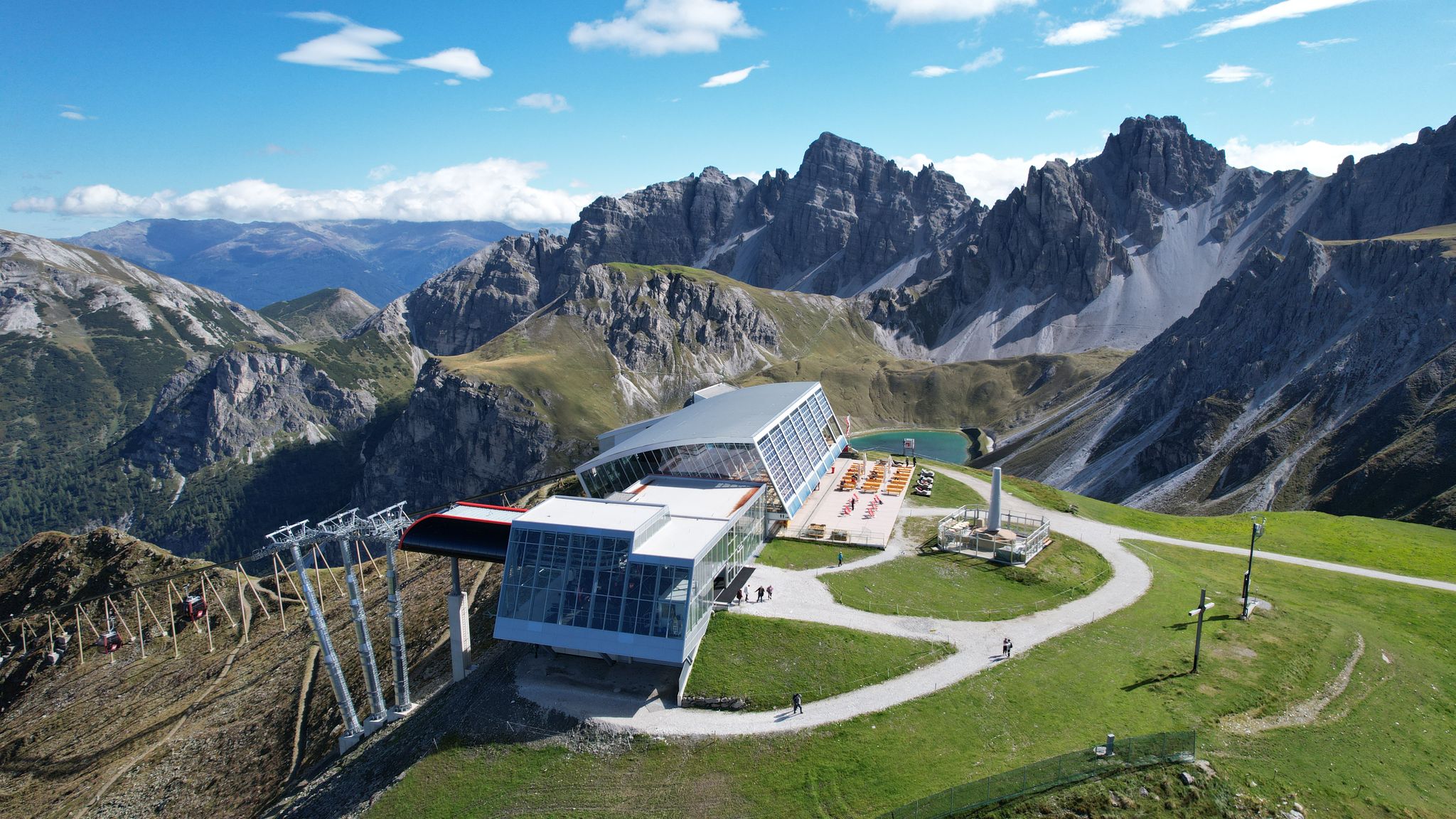
In the ‘Dolomites of North Tyrol’ – hiking in Axamer Lizum
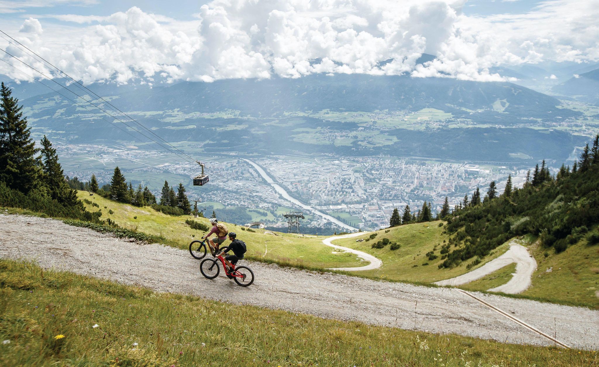
Get out of the city, get on the trail — welcome to Innsbruck!
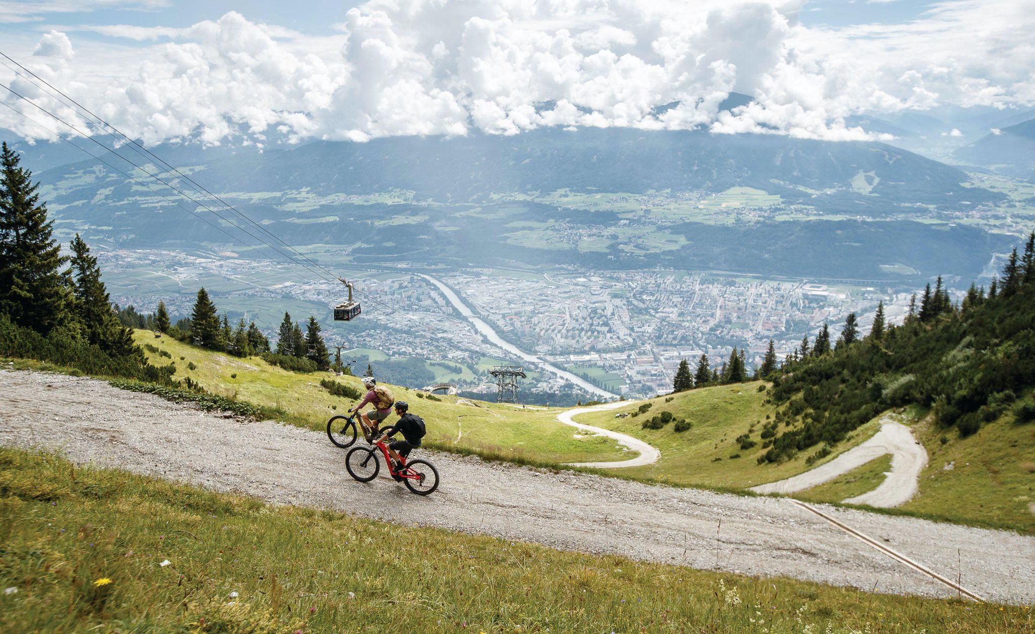
Dream trails as far as your tires will take you — biking in Innsbruck!
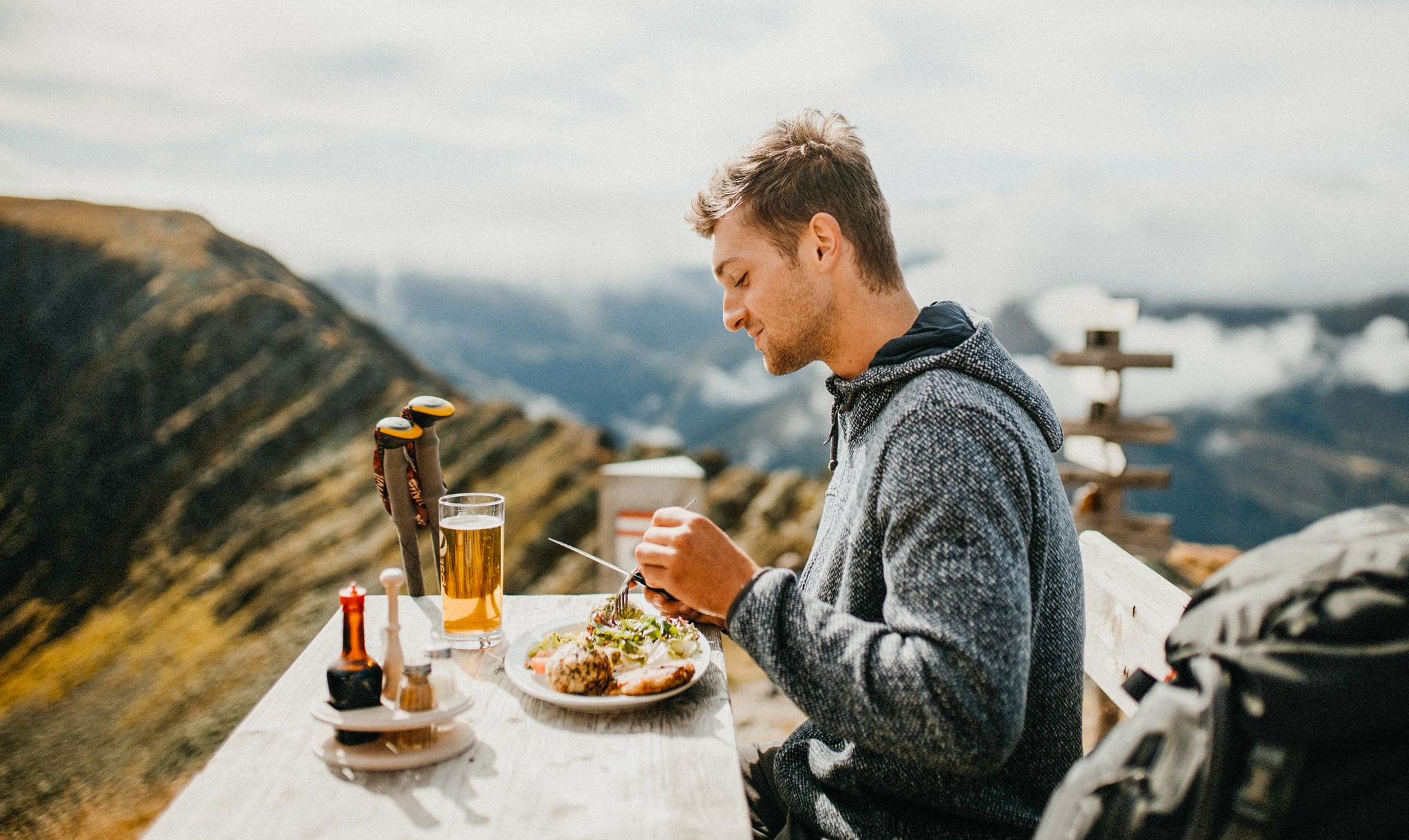
Mountain pastures and local dishes — hiking to the Tyrolean alpine huts
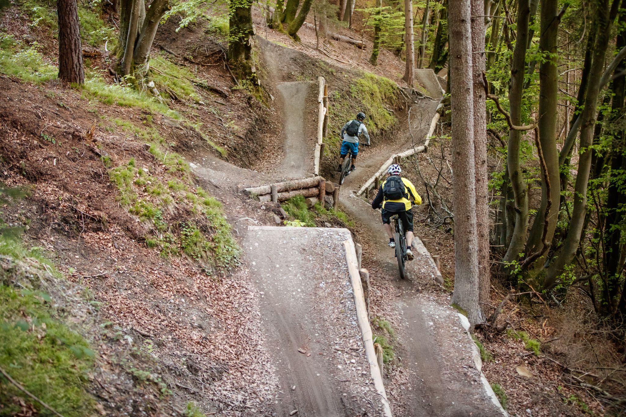
Get out of the city, get on the trail — welcome to Innsbruck!
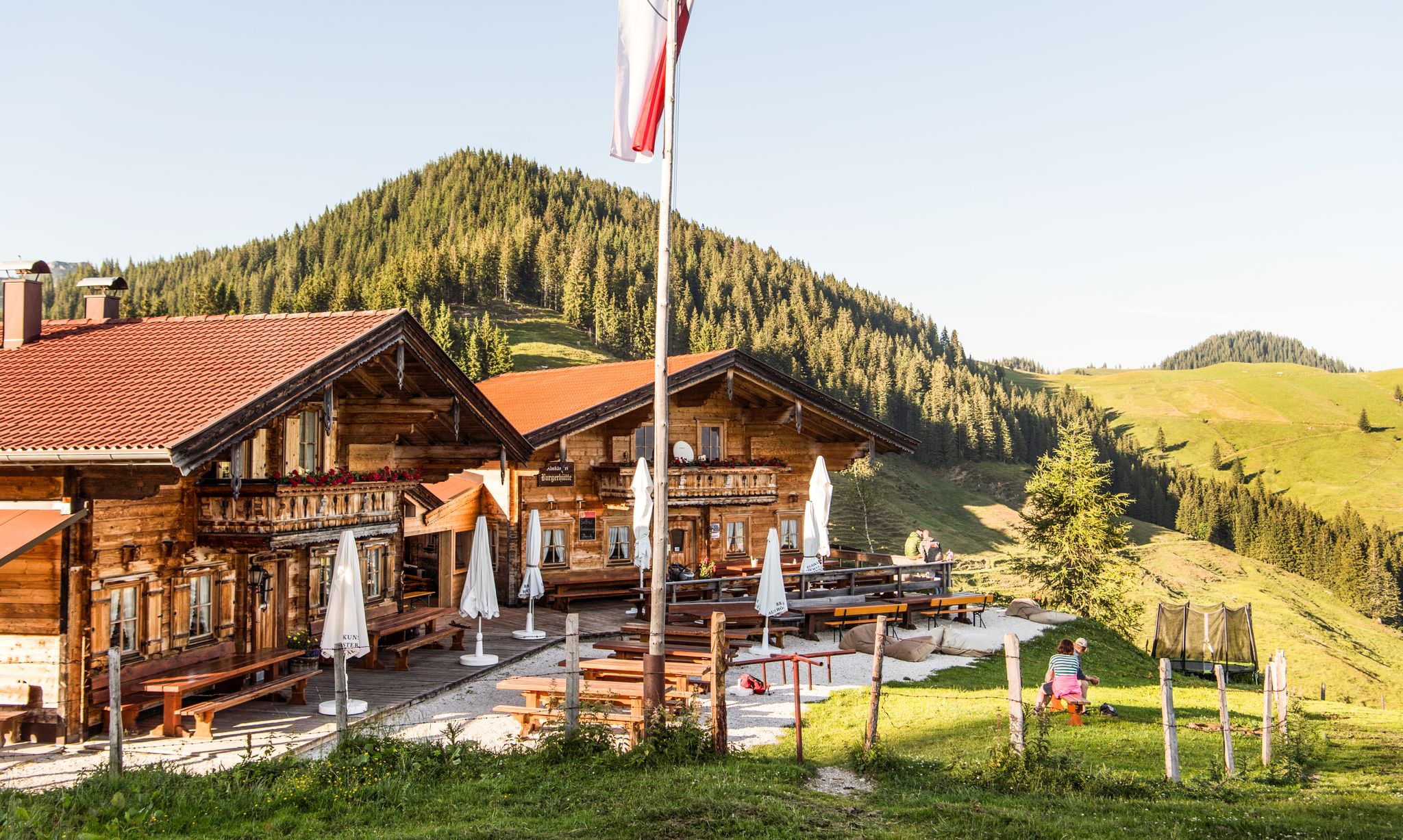
For mountaineers and gourmets – Tyrolean hikes for foodies
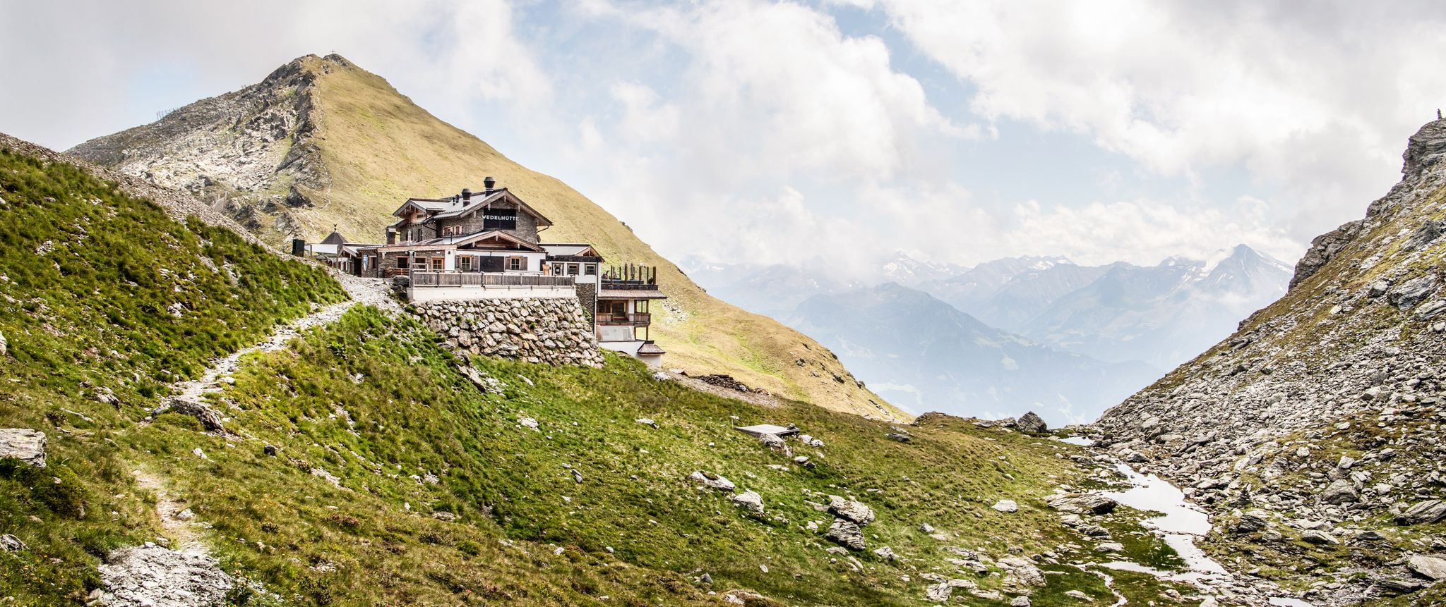
Amazing hiking & gourmet feasts – Taste of Place tours in Tyrol
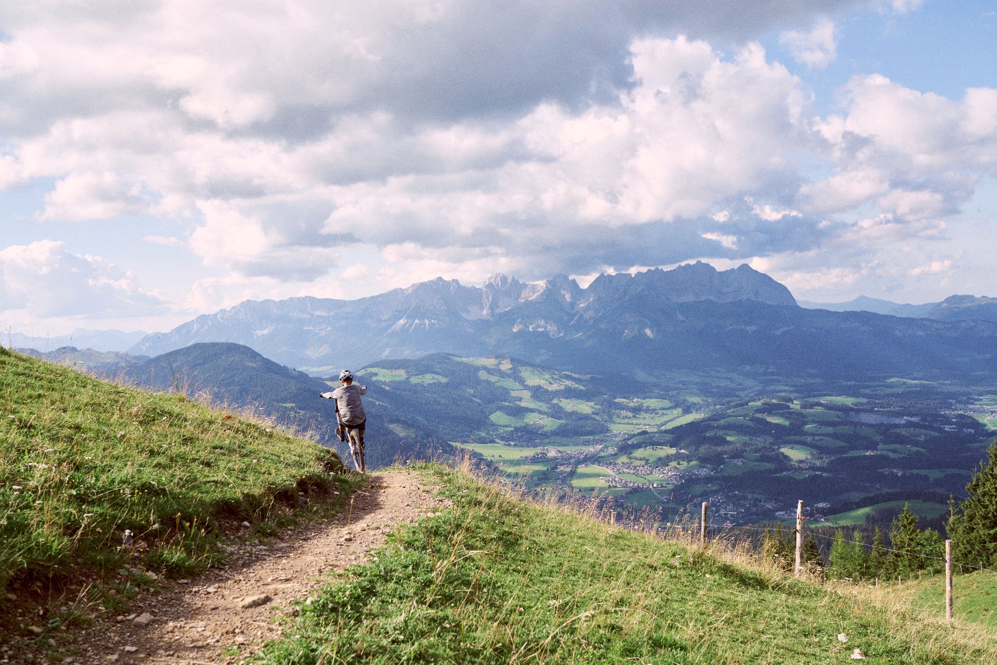
Fast descents and wide views — Tyrol's trail paradise
Für Klein und Groß – Familienwanderungen in Tirol
Traffic-free bike rides around Mutters
Other adventures around Mutters


Tips from the Community

The turquoise-green shimmering river flows through the city from west to east and is framed on both sides by historic buildings as well as the impressive mountain backdrop of the Tyrolean Alps.
6
0
The bridge was named after the French general Émile Béthouart, who served as High Commissioner of the French occupation zone in Austria after the Second World War. The naming commemorates his contribution to reconstruction and to German-French-Austrian understanding.
5
0

In winter, by bike, it's better to travel on Zwift
0
0

Inn - Three Countries - One River The Inn River connects Switzerland, Austria, and Germany. It rises in the Swiss Engadine, flows through parts of Austria and Bavaria, and flows into the Danube near Passau. Its catchment area, at over 26,000 square kilometers, is the second largest in Austria. Numerous settlements have developed along its course. The Inn River is the central lifeline of these regions. The Inn River rises at an altitude of 2,484 meters in the Swiss canton of Graubünden at the Lunghin Pass near Maloja, near Lake Lunghin. From there, it plunges as a small mountain stream almost 700 meters into the valley, where it flows into Lake Sils. On its further course, the Inn flows through Lake Silvaplana/Champère and Lake Moritz. The Flaz River flows into the Inn near the municipality of Samedan. This tributary carries large amounts of suspended solids from the Bernina Massif into the Inn. In the Lower Engadine, the Inn flows through several gorges with a significantly steeper gradient. Due to the diversion of large portions of its runoff for energy generation, the wild river has regained the character of a small mountain stream in places. Text / Source: WWF Tirol, Brixnerstrasse 4/9, Innsbruck https://www.unser-inn.at/der-inn/flusslauf/#:~:text=The Inn connects the countries of Switzerland and Austria, and, with an area of over 26,000 square kilometers, is the second largest in Austria.
15
0

The colorful houses simply put you in a good mood whatever the weather; subtle splashes of color that are simply beautiful
3
0
Beautiful view of the old town, just enjoy and let it work
2
0

Great climb, rideable almost any time of year, great view over the valley and the surrounding mountains
0
0

This elegant iron-framed pedestrian bridge, built between 1873 and 1875, connects the charming districts of Saggen and St. Nikolaus over the Inn River. Once simply called the Innsteg (Inn Bridge), it was renamed in 2003 in honor of French General Emile Béthouart to celebrate postwar reconciliation. The light, ornate bridge is perfect for leisurely strolls, photo opportunities, and bike rides. From here, you'll enjoy magnificent views of the Alps, the river, and the colorful houses along the riverbank. Visit the bridge at sunrise or sunset and enjoy the peaceful atmosphere!
4
1
Frequently Asked Questions
How many no-traffic road cycling routes are available around Mutters?
There are several dedicated no-traffic road cycling routes around Mutters, with a total of 4 routes detailed in this guide. These routes range from easy to moderate, offering diverse experiences for road cyclists looking for quiet paths.
What is the best time of year for no-traffic road cycling in Mutters?
The best seasons for road cycling in Mutters are generally spring and summer, offering pleasant weather and easily passable roads. Autumn also provides a charming experience with colorful foliage, though it's always wise to check local weather conditions before heading out.
Are there any easy, traffic-free road cycling routes suitable for beginners near Mutters?
Yes, for those seeking an easier, traffic-free ride, the Golden Roof (Goldenes Dachl) – Innsbruck Old Town loop from Innsbruck Messe is an excellent option. This route is classified as easy, covering about 12.7 km with manageable elevation gain, perfect for a relaxed cycling experience.
What kind of landmarks or viewpoints can I expect along these quiet road cycling routes?
The routes offer stunning views of the Tyrolean landscape, including the Patscherkofel mountain and the Inn Valley. You might encounter highlights such as the Drachenfelsen viewing platform above the Sill Gorge or the historic Mühlauer Gorge. Many routes also pass through picturesque villages and offer glimpses of the majestic Stubai Alps.
Are there any circular no-traffic road cycling routes available?
Yes, all the routes featured in this guide are circular, allowing you to start and end your ride at the same point. For example, the Innsbruck Old Town – Inn Bridge, Innsbruck loop from Innsbruck Hötting offers a moderate circular ride of approximately 16 km.
What do other road cyclists enjoy most about the no-traffic routes around Mutters?
The no-traffic road cycling routes around Mutters are highly rated by the komoot community, with an average score of 4.48 stars from over 1000 ratings. Reviewers often praise the stunning panoramic views, the well-maintained paths, and the peaceful, car-free environment that allows for an immersive cycling experience in the Alps.
Can I access these no-traffic cycling routes using public transport?
Mutters benefits from its close proximity to Innsbruck, which is well-connected by public transport. Many routes, such as the Innsbruck Old Town – Golden Roof (Goldenes Dachl) loop from Innsbruck Westbf, start near public transport hubs, making them accessible without a car. It's advisable to check local bus and train schedules for specific starting points.
Are there any challenging no-traffic road cycling routes for experienced cyclists?
While this guide focuses on routes with minimal traffic, the region around Mutters offers a diverse terrain. For more challenging climbs, experienced cyclists often use Mutters as a base to tackle demanding Alpine passes like the Brenner Pass or the route to Axamer Lizum, which, while not entirely traffic-free, offer significant challenges and spectacular mountain views. Within this guide, routes like the Stiglreith Ski Lift Station – Stiglreith Mountain Station loop from Oberperfuss provide a moderate challenge with significant elevation gain.
Are there places to eat or drink along the no-traffic road cycling routes?
Many of the routes pass through or near villages and towns, especially those closer to Innsbruck, where you can find cafes and restaurants. The region is known for its hospitality, and you'll often find opportunities to stop for refreshments or a meal, particularly in Mutters itself or in Innsbruck's Old Town.
What are some notable natural features to look out for while cycling in the Mutters area?
The Mutters region is rich in natural beauty. Cyclists can enjoy views of the majestic Patscherkofel mountain, the expansive Inn Valley, and the dramatic Stubai Alps. The tranquil Natterer See, a serene lake, is also nearby and adds to the scenic diversity. You'll also cycle through dense forests and vibrant alpine meadows, especially during warmer months.
Most popular attractions around Mutters

Get inspired with the komoot mobile app


Explore more
Browse the best Road cycling routes in other regions.
