The best hikes from bus stations around Weil am Rhein
4.5
(7520)
43,301
hikers
76
hikes
Bus station hiking trails around Weil am Rhein offer access to a diverse landscape at the confluence of Germany, France, and Switzerland. The region is characterized by its position at the southernmost foothills of the Black Forest, featuring rolling hills and varied terrain. Hikers can explore scenic riverside paths along the Rhine River, including the Istein Rapids, and discover unique geological formations like the Wolfsschlucht Gorge. The area also provides opportunities for cross-border routes, connecting different cultural and natural environments.
Best bus station hiking trails around Weil am Rhein
- The most popular bus station hiking route is View of Basel – View of Basel loop from Binzen, an easy 4.3 miles (7.0 km) trail that takes 1 hour 57 minutes to complete. This route features views towards Basel and includes a gentle ascent of 446 feet (136 m).
- Another top favourite among local hikers is Bench With View of Haltingen – Rehberger Tree Sculpture loop from Weil am Rhein, a moderate 5.1 miles (8.2 km) path. This route offers varied terrain with an elevation gain of 302 feet (92 m) and passes by local points of interest.
- Local hikers also love the Unterer Rheinweg Promenade – Middle Bridge (Mittlere Brücke), Basel loop from Huningue, a 5.7 miles (9.2 km) trail leading through riverside promenades and urban landscapes, often completed in about 2 hours 22 minutes.
- Hiking around Weil am Rhein is defined by riverside paths, rolling hills, and cross-border routes, offering a mix of natural and cultural landscapes. The network provides options for different ability levels, from easy walks to moderate ascents.
- The routes in Weil am Rhein are highly rated by the komoot community with an average score of 4.5 stars from more than 6,700 reviews. More than 40,000 hikers have used komoot to explore Weil am Rhein's varied terrain.
Last updated: July 10, 2026
4.6
(94)
425
hikers
6.96km
01:57
140m
140m
Easy hike. Great for any fitness level. Easily-accessible paths. Suitable for all skill levels.
4.5
(47)
214
hikers
12.4km
03:08
20m
20m
Moderate hike. Good fitness required. Easily-accessible paths. Suitable for all skill levels.

Sign up for free
4.7
(13)
70
hikers
Moderate hike. Good fitness required. Easily-accessible paths. Suitable for all skill levels.
4.4
(7)
59
hikers
7.24km
01:57
90m
90m
Easy hike. Great for any fitness level. Easily-accessible paths. Suitable for all skill levels.
4.6
(27)
159
hikers
Moderate hike. Good fitness required. Easily-accessible paths. Suitable for all skill levels.
Get access to more routes and recommendations from other explorers.
Sign up for free
Already have an account?
Our route recommendations are based on thousands of hikes, rides, and runs completed by other people on komoot.
Start today with a free account
Your next adventure awaits.
Login or Signup
Popular around Weil am Rhein
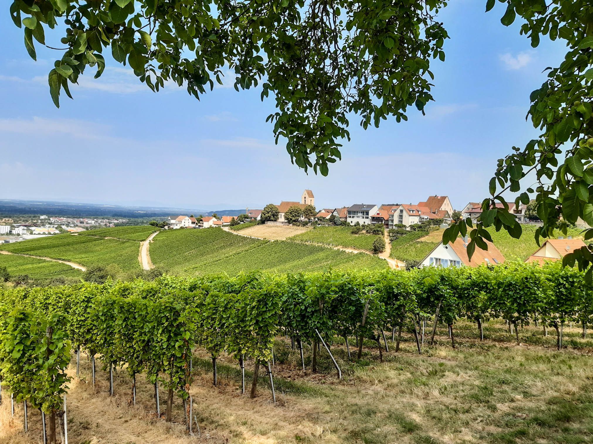
Leave all borders behind you – Three-Country Hiking Trail
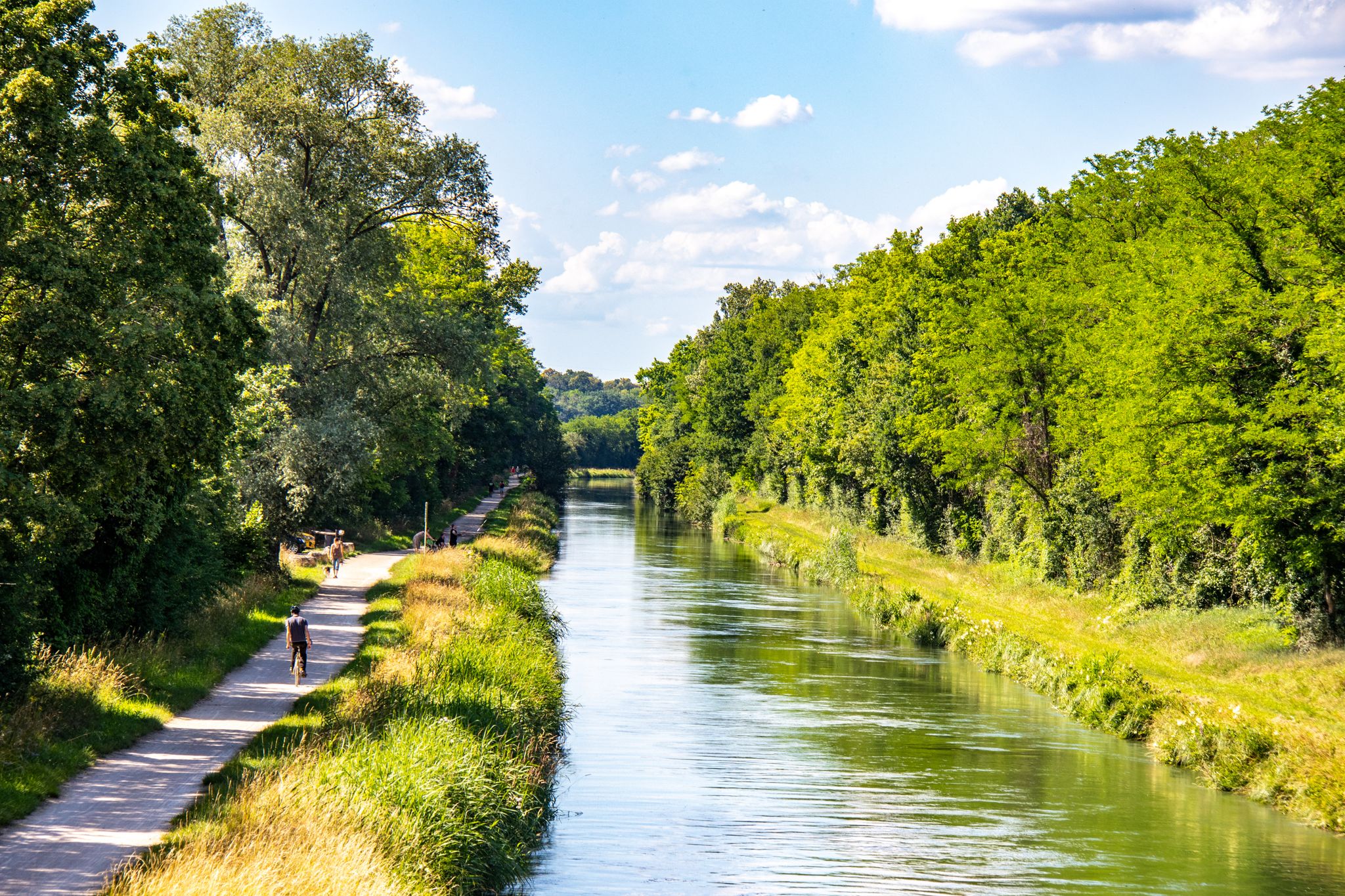
EuroVelo15 - Rhine CYCLE ROUTE (Alsace)
German Cycling Network – Cycling all over the country on the D-Routes
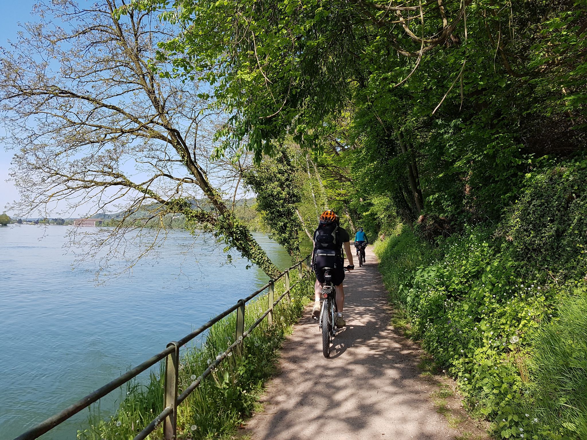
D-Route 6: Danube Route

Lichterglanz und Winterwanderzauber – Advent im Schwarzwald
L’Alsace à Vélo - Entre canaux, vignoble et vallées vosgiennes
Other adventures around Weil am Rhein


Tips from the Community

A very beautiful Sevogel fountain from 1530 with a varied history. https://de.wikipedia.org › wiki › Sevogelbrunnen
0
0
Beautiful view of the Rhine towards Kleinbasel.
1
0

Slightly lower view of the Rhine towards Kleinbasel with comfortable seating
1
0

The Petit Rhin is a waterway located in the heart of Rhine Island, in the Petite Camargue Alsacienne Nature Reserve. It was created as part of a renaturation project aimed at restoring emblematic landscapes of Alsace and promoting the return of biodiversity. 7 km long, it crosses Rhine Island for 3.5 km before flowing into the Vieux Rhin, providing a privileged route for aquatic species.
0
0
The Mathieu Ritter Observatory is a beautiful observation point, but it is a bit remote for those who want to capture detailed images of wildlife.
0
0
The Mathieu Ritter Observatory offers a beautiful view of Rhine Island, but it is too far away for photographers wishing to capture wildlife up close.
1
0

Here you have a fantastic view of Basel and the hinterland, simply a lovely place to stop for a while.
0
0

I like this object the best and there is a bench nearby.
0
0
Frequently Asked Questions
How many bus-accessible hiking trails are available around Weil am Rhein?
There are over 70 bus-accessible hiking trails around Weil am Rhein, offering a wide range of options for different preferences and fitness levels. The majority of these, more than 60, are considered easy.
What makes Weil am Rhein a unique destination for bus-accessible hiking?
Weil am Rhein's unique location at the 'three-country-corner' of Germany, France, and Switzerland, combined with its proximity to the Black Forest and the Rhine River, offers incredibly diverse landscapes. You can experience everything from riverside paths and dramatic gorges to rolling Black Forest foothills, all easily reachable by public transport.
What is the general difficulty level of bus-accessible hikes in Weil am Rhein?
The bus-accessible hikes in Weil am Rhein cater to a broad audience. Most of the trails, over 60, are rated as easy, making them suitable for casual walkers and families. There are also around 16 moderate trails for those seeking a bit more challenge, but no difficult routes are listed in this guide.
Are there any easy, family-friendly hikes accessible by bus in Weil am Rhein?
Yes, many trails are suitable for families. For an easy and scenic option, consider the View of Basel – View of Basel loop from Binzen. This route offers pleasant views and is manageable for most ages, starting conveniently from a bus stop in Binzen.
Can I find circular hiking routes that start and end at a bus station?
Absolutely. Many of the bus-accessible routes are circular, allowing you to return to your starting point without needing additional transport. An example is the Bench With View of Haltingen – Rehberger Tree Sculpture loop from Weil am Rhein, which provides a moderate circular experience directly from Weil am Rhein.
Are there bus-accessible trails that offer scenic viewpoints or natural attractions?
Yes, the region is rich in natural beauty. You can find trails leading to the Istein Rapids along the Rhine, or explore the unique geological formations of the Wolfsschlucht Gorge. Many routes also offer stunning views of the Rhine Valley and Basel, such as the View of Basel – Bench With View of Haltingen loop from Binzen.
Are there opportunities for cross-border hiking directly from a bus stop?
Yes, Weil am Rhein's location at the 'three-country-corner' makes cross-border hikes easily accessible. You can find routes that connect Germany with France or Switzerland, often utilizing the pedestrian Dreiländerbrücke. The Belvédère du Petit Rhin – Mathieu Ritter Observatory loop from Village-Neuf is a moderate option that starts in France and offers cross-border views.
What kind of terrain can I expect on bus-accessible trails in the Weil am Rhein area?
The terrain varies significantly. You'll encounter flat riverside paths along the Rhine and Wiese, gentle ascents and descents in the Black Forest foothills, and potentially more rugged sections in areas like the Wolfsschlucht Gorge. Many trails feature well-maintained gravel paths, forest tracks, and some paved sections, especially near urban areas or promenades like the Wiesendamm promenade.
What do other hikers enjoy the most about hiking in Weil am Rhein?
The area is highly rated by the komoot community, with an average score of 4.5 stars. Reviewers often praise the diverse landscapes, the ease of access via public transport, and the unique opportunity for cross-border experiences. The scenic views of the Rhine and the Black Forest are frequently highlighted as well.
Are there any bus-accessible trails that follow the Rhine River?
Yes, several trails offer picturesque riverside walking. The Unterer Rheinweg Promenade – Middle Bridge (Mittlere Brücke), Basel loop from Huningue is a moderate route that takes you along the Rhine, offering lovely views and connecting to the Rhine Promenade in Basel.
When is the best time of year to go hiking from bus stations in Weil am Rhein?
Spring, summer, and autumn are generally ideal for hiking in Weil am Rhein. Spring brings blooming landscapes, summer offers warm weather for riverside strolls, and autumn provides beautiful foliage. While winter hiking is possible, some trails might be slippery or require appropriate gear, especially in higher Black Forest areas. Always check local weather conditions before heading out.
Are there any bus-accessible routes that lead to charming villages or historic sites?
Yes, the Markgräflerland region, where Weil am Rhein is situated, is known for its picturesque villages. While specific routes in this guide might not directly end at a historic site, many pass through or near charming areas like Ötlingen, known for its idyllic town centers and historic buildings, offering a cultural element to your hike.
Most popular routes around Weil am Rhein
Most popular attractions around Weil am Rhein

Get inspired with the komoot mobile app


Explore more
Browse the best Hikes in other regions.
