The best hikes from bus stations around Waldshut Tiengen
4.4
(878)
4,083
hikers
146
hikes
Bus station hiking trails around Waldshut Tiengen offer access to a diverse landscape at the southern edge of the Black Forest, near the Swiss border. The region is characterized by dense forests, rolling hills, and river valleys, with the Rhine and Wutach rivers shaping much of the terrain. Notable features include dramatic gorges like the Wutach Gorge and numerous waterfalls, providing varied environments for exploration. The area also encompasses parts of the Southern Black Forest Nature Park, featuring a mix…
Last updated: October 14, 2026
4.6
(24)
98
hikers
7.22km
02:11
230m
230m
Moderate hike. Good fitness required. Easily-accessible paths. Suitable for all skill levels.
4.5
(15)
119
hikers
5.76km
01:32
60m
60m
Easy hike. Great for any fitness level. Easily-accessible paths. Suitable for all skill levels.

4.0
(20)
71
hikers
13.3km
03:54
390m
390m
Moderate hike. Good fitness required. Easily-accessible paths. Suitable for all skill levels.
4.3
(13)
35
hikers
8.99km
02:42
280m
280m
Moderate hike. Good fitness required. Easily-accessible paths. Suitable for all skill levels.
4.6
(25)
92
hikers
8.01km
02:34
330m
330m
Moderate hike. Good fitness required. Easily-accessible paths. Suitable for all skill levels.
Get access to more routes and recommendations from other explorers.
Already have an account?
Our route recommendations are based on thousands of hikes, rides, and runs completed by other people on komoot.
Start today with a free account
Your next adventure awaits.
Popular around Waldshut-Tiengen
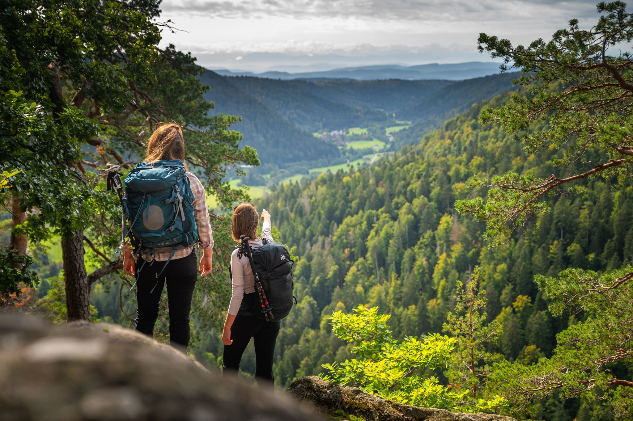
From the hills to the Rhine – hiking in the Southern Black Forest
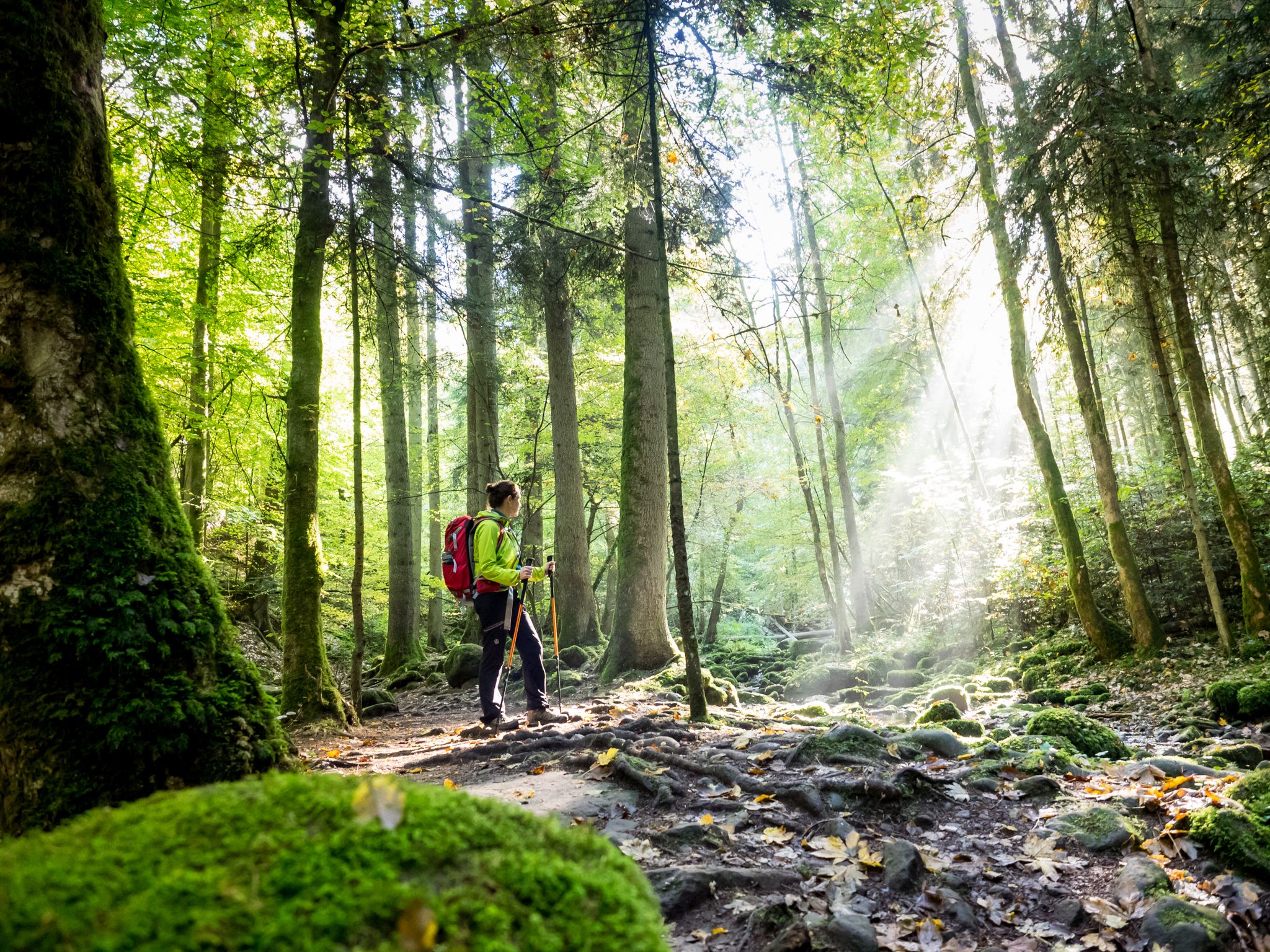
Far from the hustle and bustle – Hidden Trails in the Black Forest
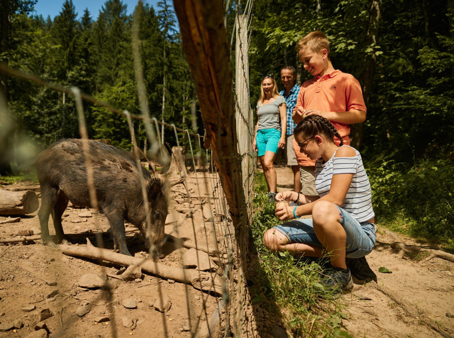
Animal Tours – family hikes in the southern Black Forest
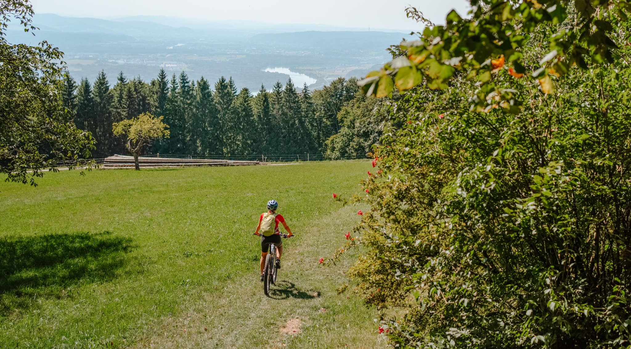
Build your dream ride: Modular biking in the Southern Black Forest
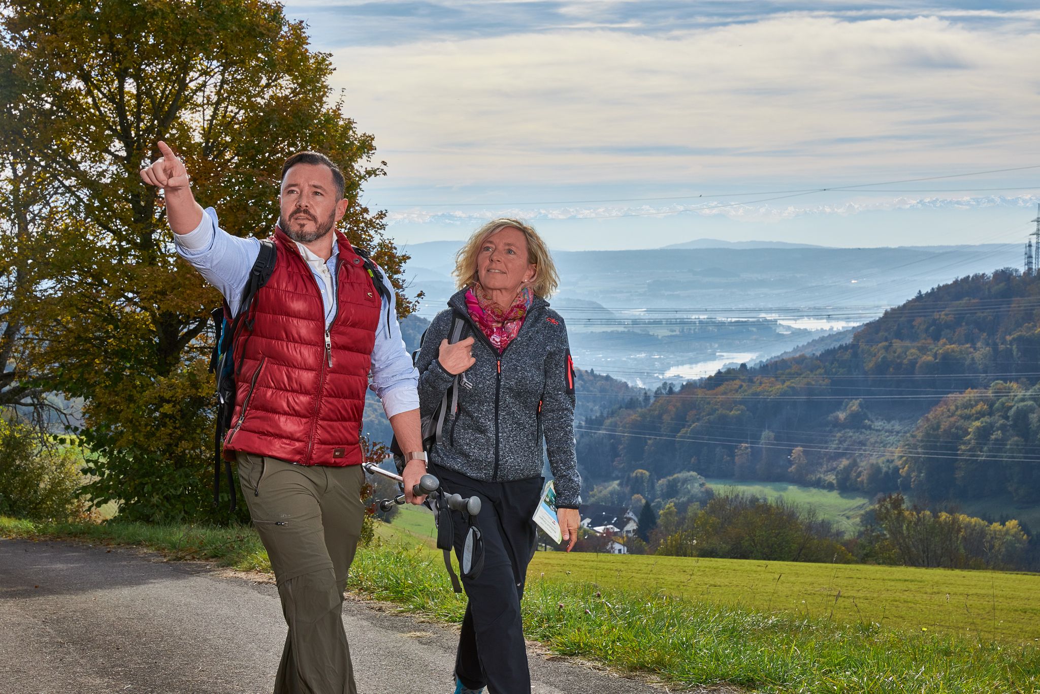
Wanderlust rund um Waldshut-Tiengen - alle Ortsteile entdecken
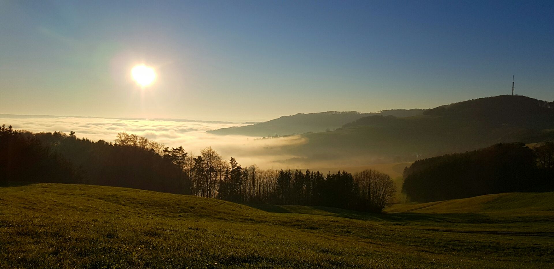
Die Schönheit des Herbstes – Wanderungen im Südschwarzwald
Other adventures around Waldshut Tiengen


Tips from the Community

One of the few spots without trees in the way.
0
0

Stop, linger. A beautiful place to be, for yourself and with yourself. Shady spot on the bench.
0
0
The Waldshut old town with its famous Kaiserstrasse! Very well-preserved and restored houses, many cafes and restaurants, a shopping street with many small shops, invites you to stop, to linger, to have an ice cream or cake with coffee, or simply to be here. Very busy during the day, and peace returns after 10 p.m. Even more pleasant for bikers.
0
0

At the jetty there is also a small climbing rock. The Allmuter Steg up to Allmut is currently quite overgrown (nettles, thorny bushes). You should wear good footwear. In some places, water also flows over the path.
2
0
The ascent from the west side is about 150 m in a serpentine manner. You have a beautiful view from a small rock plateau.
1
0
View up to the water vapor plume of the Leibstadt NPP (CH). View of the Schlüchttal valley. There is also a bench to rest.
1
0

On the banks of the Rhine near Waldshut, I stopped for a moment because the swans were gliding very calmly on the water here. Together with the view across the Rhine, this creates a beautiful, peaceful spot to catch your breath – ideal for a short break on the tour.
0
0

A small wooden house - on stilts - allows a view down onto the Rhine
0
0
Frequently Asked Questions
How many bus station hiking trails are available in Waldshut-Tiengen?
There are over 150 hiking routes in Waldshut-Tiengen that are easily accessible by bus. These trails range from easy strolls to more challenging hikes, ensuring options for various fitness levels.
What kind of landscapes can I expect on bus-accessible hikes around Waldshut-Tiengen?
The region offers a diverse range of landscapes, from dense forests and rolling hills to picturesque river valleys. You'll find dramatic gorges like the Wutach Gorge, impressive rock formations, and scenic floodplain landscapes along the High Rhine. Many routes also traverse parts of the Southern Black Forest Nature Park.
Are there any easy, family-friendly hikes accessible by bus?
Yes, there are many easy routes suitable for families. An excellent option is the Swans on the Rhine – Waldshut Old Town loop from Waldshut-Tiengen. This easy 5.8 km route offers gentle terrain and scenic views, perfect for a relaxed outing.
Can I find hikes with waterfalls near bus stops in Waldshut-Tiengen?
Absolutely! The region is known for its waterfalls. Consider the Berauer Halde Waterfalls – Schwedenfelsen loop from Schwarza-Schlücht-Tal, which takes you past impressive cascades and rock formations. The Alb Gorge also features notable waterfalls.
Are there any circular walks starting from bus stations?
Many of the bus-accessible routes are circular, allowing you to return to your starting point without needing additional transport. For example, the Schlücht River in Gurtweil – Hutpfad Trail loop from Waldshut-Tiengen is a moderate 13.2 km circular hike offering varied scenery.
What are the best times of year for bus-accessible hiking in Waldshut-Tiengen?
Spring and autumn are generally the best seasons for hiking in Waldshut-Tiengen. The weather is mild, and nature is particularly vibrant with blooming flowers or colorful foliage. Summer also offers great conditions, while winter can provide unique snowy landscapes, though some trails might be less accessible.
What do other hikers enjoy most about the bus-accessible trails in Waldshut-Tiengen?
The komoot community highly rates the trails in Waldshut-Tiengen, with an average score of 4.5 stars from over 780 ratings. Hikers frequently praise the diverse natural beauty, the well-marked paths, and the convenience of accessing these stunning routes directly from bus stations.
Are there any viewpoints or observation towers accessible from bus routes?
Yes, the region offers several fantastic viewpoints. The Lehenkopf Tower provides magnificent panoramic views of the surrounding landscape. Another great option is the Gugelturm Observation Tower with Views of the Alps, offering expansive vistas.
Can I find routes that pass by historical or cultural sites?
Yes, some trails combine natural beauty with cultural exploration. The path from the historic old town of Waldshut along the Rhine, for instance, leads to the impressive ruins of Küssaburg Castle, offering both scenic views and a glimpse into the region's history.
Are there any huts or places to rest along the bus-accessible hiking trails?
Yes, you can find various huts and resting spots. The Loipenhaus Höchenschwand — Cross‑Country Skiing Lodge and Engländerhütte Ibach are examples of huts that can be found in the wider area, offering places to pause and refresh during your hike.
What is a good moderate hike from a bus station in Waldshut-Tiengen?
For a moderate challenge, the Heilig Kreuz Chapel – View from the Haspelhäuschen loop from Waldshut is an excellent choice. This 9 km route offers varied terrain and rewarding views, including the Heilig Kreuz Chapel.
Most popular routes around Waldshut Tiengen
Most popular attractions around Waldshut Tiengen

Get inspired with the komoot mobile app


Explore more
Browse the best Hikes in other regions.
