The best hikes from bus stations around Pegnitz
4.5
(3041)
10,215
hikers
272
hikes
Bus station hiking trails around Pegnitz offer access to a diverse natural environment characterized by rolling hills, dense forests, and picturesque river valleys. The region is situated at the foothills of the Fichtelgebirge and serves as a gateway to Franconian Switzerland, known for its low mountain landscapes and unique rock formations. Hikers can explore extensive mixed woodlands, juniper heaths, and the scenic Pegnitz River valley, which features notable karst formations.
Best bus station hiking trails around Pegnitz
- The most popular…
Last updated: October 13, 2026
4.7
(155)
520
hikers
18.0km
05:01
350m
350m
Hike the difficult 11.2 miles (18.0 km) Bierquellen-Wanderweg through Franconian Switzerland, enjoying scenic views and local breweries.
4.8
(565)
1,715
hikers
9.83km
02:36
90m
90m
Moderate hike. Good fitness required. Easily-accessible paths. Suitable for all skill levels.

4.7
(194)
661
hikers
12.4km
03:19
140m
140m
Moderate hike. Good fitness required. Easily-accessible paths. Suitable for all skill levels.
4.8
(69)
180
hikers
17.5km
04:42
210m
210m
Moderate hike. Good fitness required. Easily-accessible paths. Suitable for all skill levels.
4.7
(51)
168
hikers
6.42km
01:49
140m
140m
Easy hike. Great for any fitness level. Easily-accessible paths. Suitable for all skill levels.
Get access to more routes and recommendations from other explorers.
Already have an account?
Our route recommendations are based on thousands of hikes, rides, and runs completed by other people on komoot.
Start today with a free account
Your next adventure awaits.
Popular around Pegnitz
Forests, rocks and castles – 5-day circular through Franconian Switzerland
11 Days on the Erzweg Quality Hiking Trail

Thousands of kilometres of hiking fun – long-distance hiking trails in Bavaria
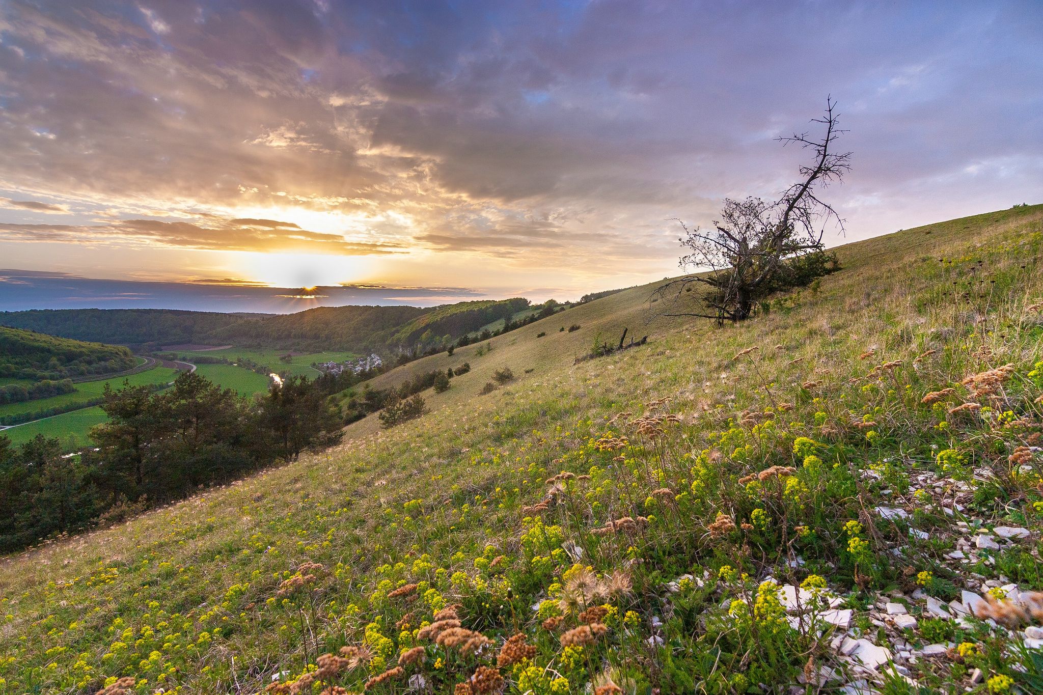
From the view to the Seidla – Nature and BeerEnjoyment in the Franconian Switzerland
The Franconian Mountain Trail – 21 Stages of Magical Summit Bliss

Winter won't stop us – VGN tips for exploring Germany’s Franconia in the cold
Looking for a small adventure? Your summer in the VGN
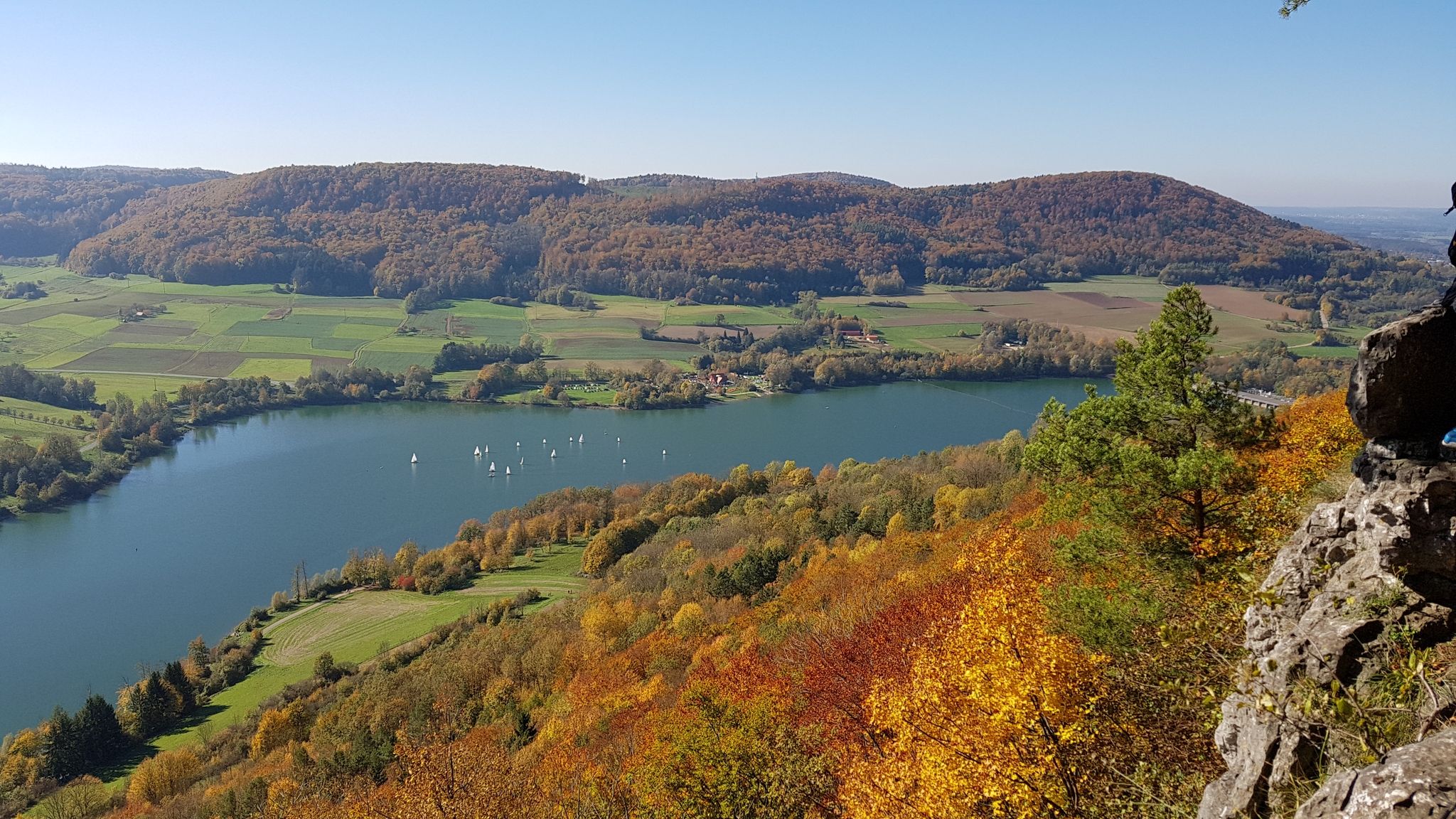
Colourful leaves & gentle hills – hiking in autumn in Franconia
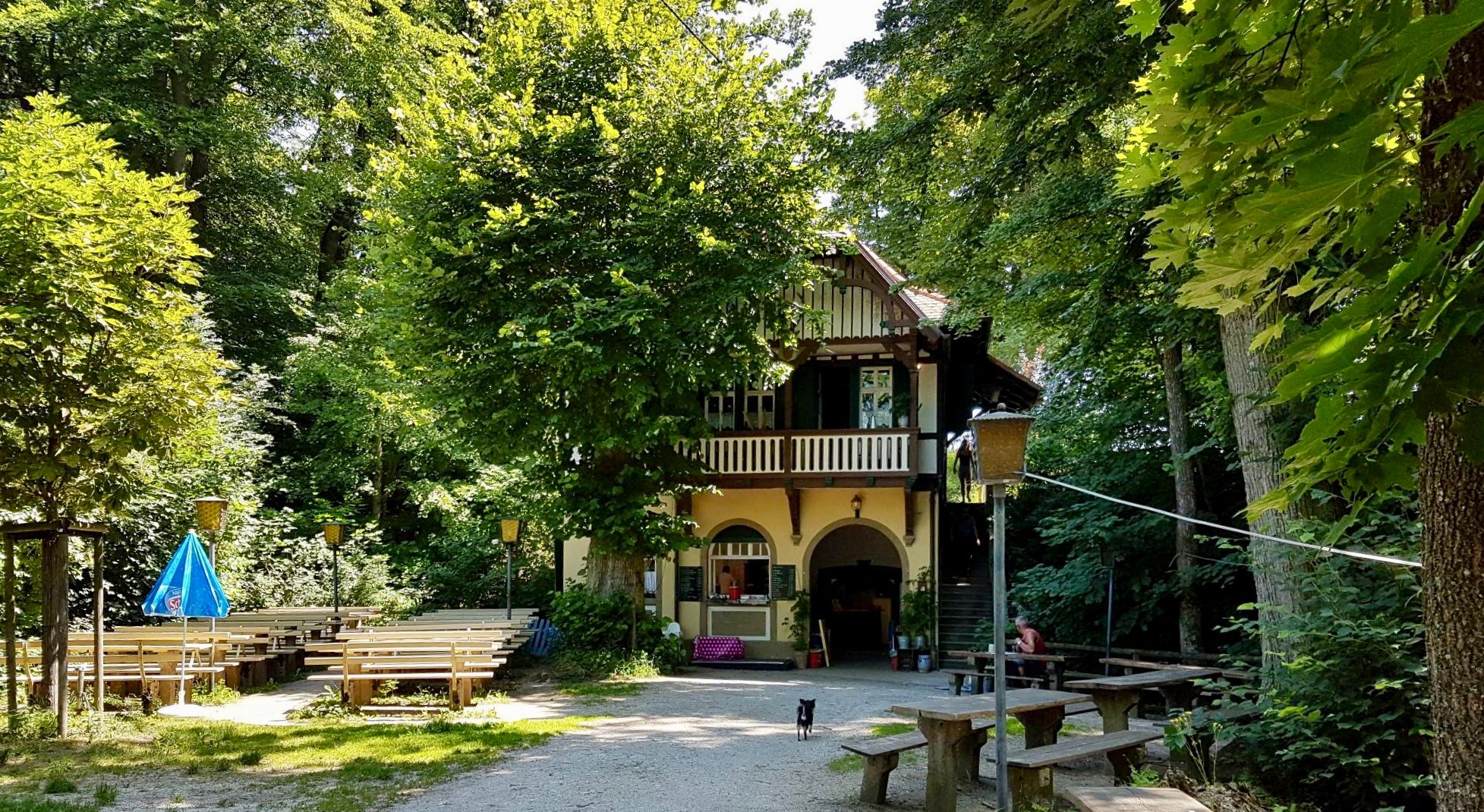
Franconian Switzerland — on the trace of the Purity Law
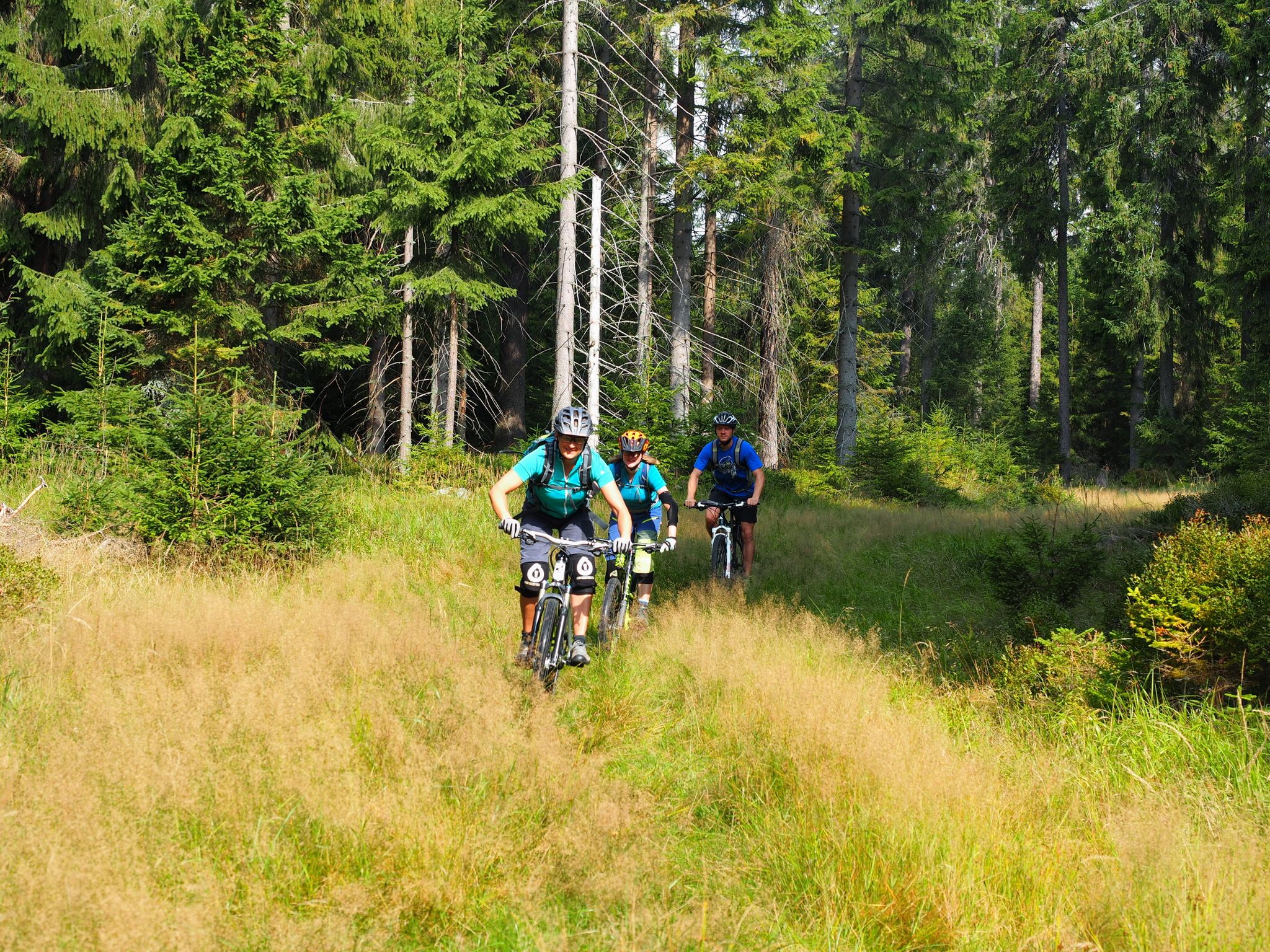
The best bike Tours around Nuremberg – MTB microadventures with the VGN
Other adventures around Pegnitz


Tips from the Community

current opening hours and more can be found on the homepage
0
0

After the spectacular cave tour, you are once again royally rewarded with this view.
1
0

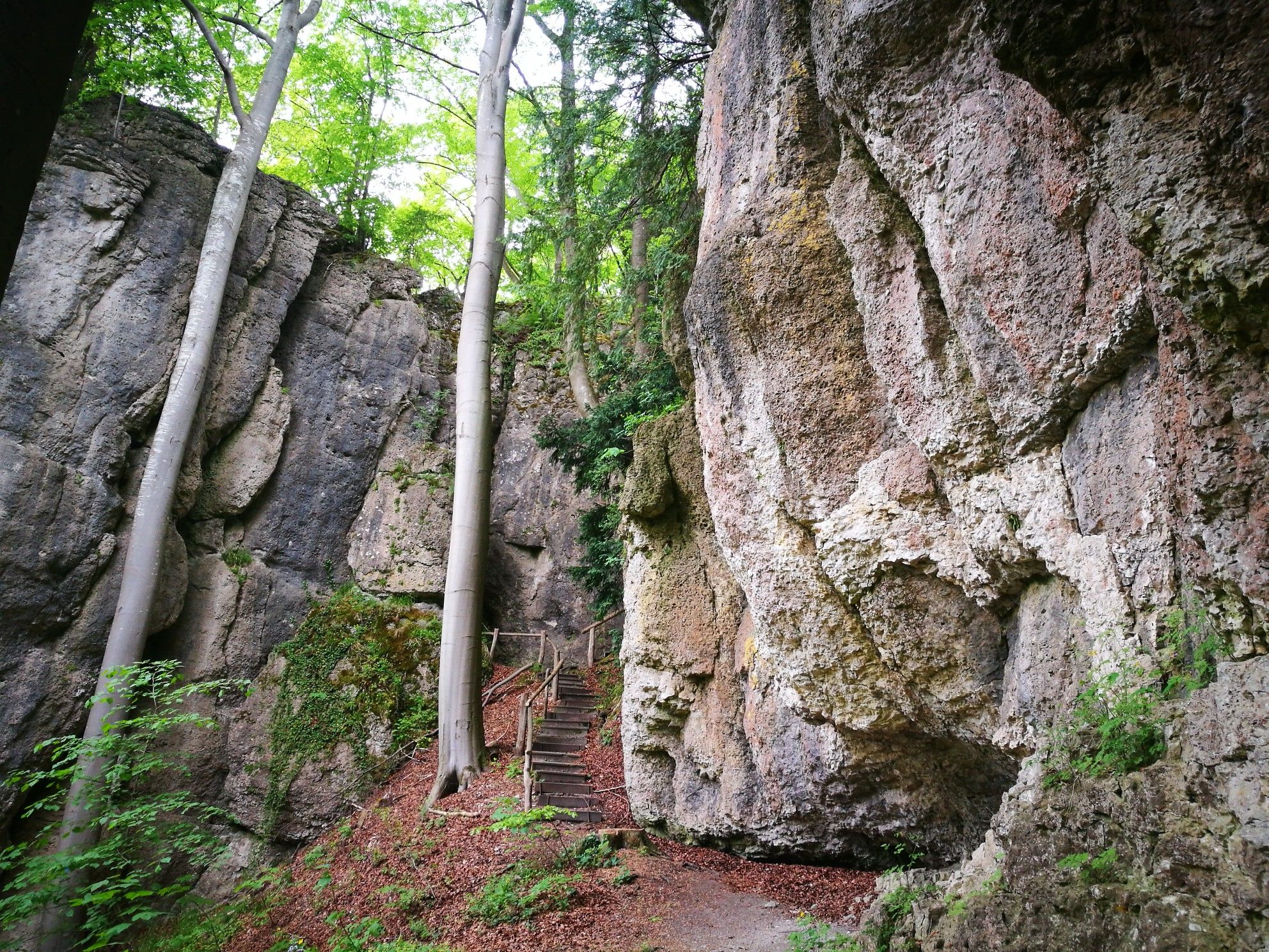
One of several beautiful and impressive rock formations in the area.
1
0

A magnificent river landscape meanders through a deep valley. The Kneipp facility is a wonderful place to cool off, especially on hot summer days.
1
0

You will pass by here as part of the HINTERINDIEN.DE tour no. 122.
0
0
You will pass by here as part of the HINTERINDIEN.DE tour no. 122.
0
0
One of the highlights of the HINTERINDIEN.DE tour no. 122
0
0
One of the highlights of the HINTERINDIEN.DE tour no. 122
0
0
Frequently Asked Questions
How many bus station hiking trails are there around Pegnitz?
There are over 280 hiking trails accessible from bus stations around Pegnitz, offering a wide variety of options for all skill levels. This includes more than 150 easy routes, 110 moderate trails, and 20 challenging hikes.
What kind of landscapes can I expect on bus-accessible hikes near Pegnitz?
Hikes around Pegnitz, situated at the foothills of the Fichtelgebirge and Franconian Switzerland, offer diverse landscapes. You'll encounter rolling hills, dense forests, picturesque river valleys like the Pegnitz River and Upper Püttlach Valley, and unique rock formations characteristic of Franconian Switzerland. The region is also known for its karst features and impressive caves.
Are there easy, family-friendly bus station hikes in Pegnitz?
Yes, Pegnitz offers many easy and family-friendly routes accessible by bus. For example, the Dianafelsen Rock Formation – Picnic Area at Dianafelsen loop from Pegnitz is an easy option. The region also features trails suitable for all fitness levels, including circular routes around lakes like Goldbergsee, which are particularly good for families with children.
Can I find circular hiking routes starting from Pegnitz bus stations?
Absolutely. Many routes in the Pegnitz area are designed as circular walks, making them convenient for public transport users. A classic example is the Oak Leaf Trail (Eichblattweg), which starts directly at Pegnitz railway station and offers idyllic views, including the Schlossberg and the Diana rock. The Klumpertal – Klumpertal Stream loop from Bronn is another moderate circular option.
What are some notable viewpoints or natural features along these trails?
The region boasts several impressive viewpoints and natural features. You can find the Dianafelsen Rock Formation, which offers beautiful views. The Schlossberg (Castle Hill) provides a magnificent view of Pegnitz town and its castle. For panoramic vistas, consider ascending the Kleiner Kulm, the highest point of Franconian Switzerland, where an observation tower offers extensive views. The region is also rich in karst caves like the Vogelherd Grotto and the Großer Lochstein, an imposing rock tower.
Are there any challenging bus-accessible hikes for experienced hikers?
Yes, for experienced hikers seeking a challenge, there are difficult routes available. The Beer Sources Trail is a difficult 18 km route through Franconian Switzerland, combining scenic views with opportunities to visit local breweries. Other trails in the Fichtelgebirge and Franconian Switzerland can also offer significant ascents and rugged terrain.
What is the best time of year for hiking near Pegnitz?
The best seasons for hiking in Pegnitz are spring and autumn. During these times, the weather is mild, and nature displays its most beautiful colors, from blooming flowers in spring to vibrant foliage in autumn. While summer is also popular, spring and autumn offer more comfortable temperatures for longer hikes.
Are there any historical sites or castles to see on bus station hikes?
Yes, the region is dotted with historical sites and castles. You can explore the ruins of Burgruine Hollenberg, perched high above the Püttlach river valley. Other nearby castles include Pottenstein Castle, Rabenstein Castle, and Gößweinstein Castle, many of which can be incorporated into longer hiking itineraries or visited as highlights.
What do other hikers enjoy most about hiking in Pegnitz?
The area is highly rated by the komoot community, with an average score of 4.5 stars. Reviewers often praise the diverse natural environment, the well-maintained trails through forests and river valleys, and the stunning rock formations. The accessibility of many routes via public transport is also frequently highlighted as a major benefit.
Are there any trails that follow rivers or streams?
Yes, the Pegnitz River itself originates near the town, and many trails follow its course or that of its tributaries. The Upper Püttlach Valley – Püttlach Valley Trail loop from Bronn is an excellent example, offering magnificent river landscapes. The Klumpertal – Klumpertal Stream loop from Bronn also features scenic sections along the Klumpertal Stream.
Most popular routes around Pegnitz
Most popular attractions around Pegnitz

Get inspired with the komoot mobile app


Explore more
Browse the best Hikes in other regions.
