The best hikes from bus stations around Hürth
4.4
(1651)
8,871
hikers
205
hikes
Bus station hiking trails around Hürth offer access to a diverse landscape characterized by its prominent lake district, including Otto-Maigler-See and Hürther Waldsee. The region is situated near the Cologne Green Belt and the Rheinland Nature Park, providing varied terrain with forests and green spaces. Low elevation changes define many of the routes, making them accessible for different activity levels.
Best bus station hiking trails around Hürth
- The most popular bus station hiking route is View of Otto-Maigler Lake –…
Last updated: August 20, 2026
4.7
(347)
1,570
hikers
7.46km
01:56
50m
50m
Easy hike. Great for any fitness level. Easily-accessible paths. Suitable for all skill levels.
4.7
(354)
1,602
hikers
8.34km
02:09
40m
40m
Moderate hike. Good fitness required. Easily-accessible paths. Suitable for all skill levels.

Sign up for free
4.4
(22)
87
hikers
5.09km
01:20
30m
30m
Easy hike. Great for any fitness level. Easily-accessible paths. Suitable for all skill levels.
4.7
(44)
147
hikers
7.19km
01:51
40m
40m
Easy hike. Great for any fitness level. Easily-accessible paths. Suitable for all skill levels.
4.2
(15)
51
hikers
Easy hike. Great for any fitness level. Easily-accessible paths. Suitable for all skill levels.
Get access to more routes and recommendations from other explorers.
Sign up for free
Already have an account?
Our route recommendations are based on thousands of hikes, rides, and runs completed by other people on komoot.
Start today with a free account
Your next adventure awaits.
Login or Signup
Popular around Hürth
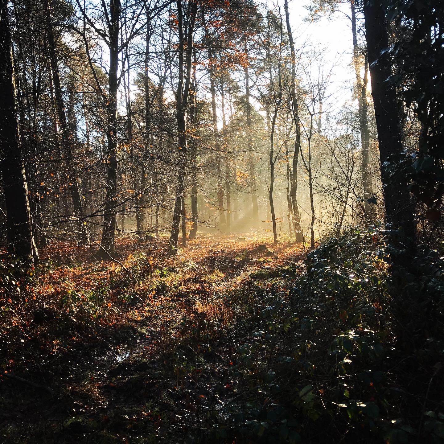
Naturpark Rheinland - Our most beautiful hiking trails
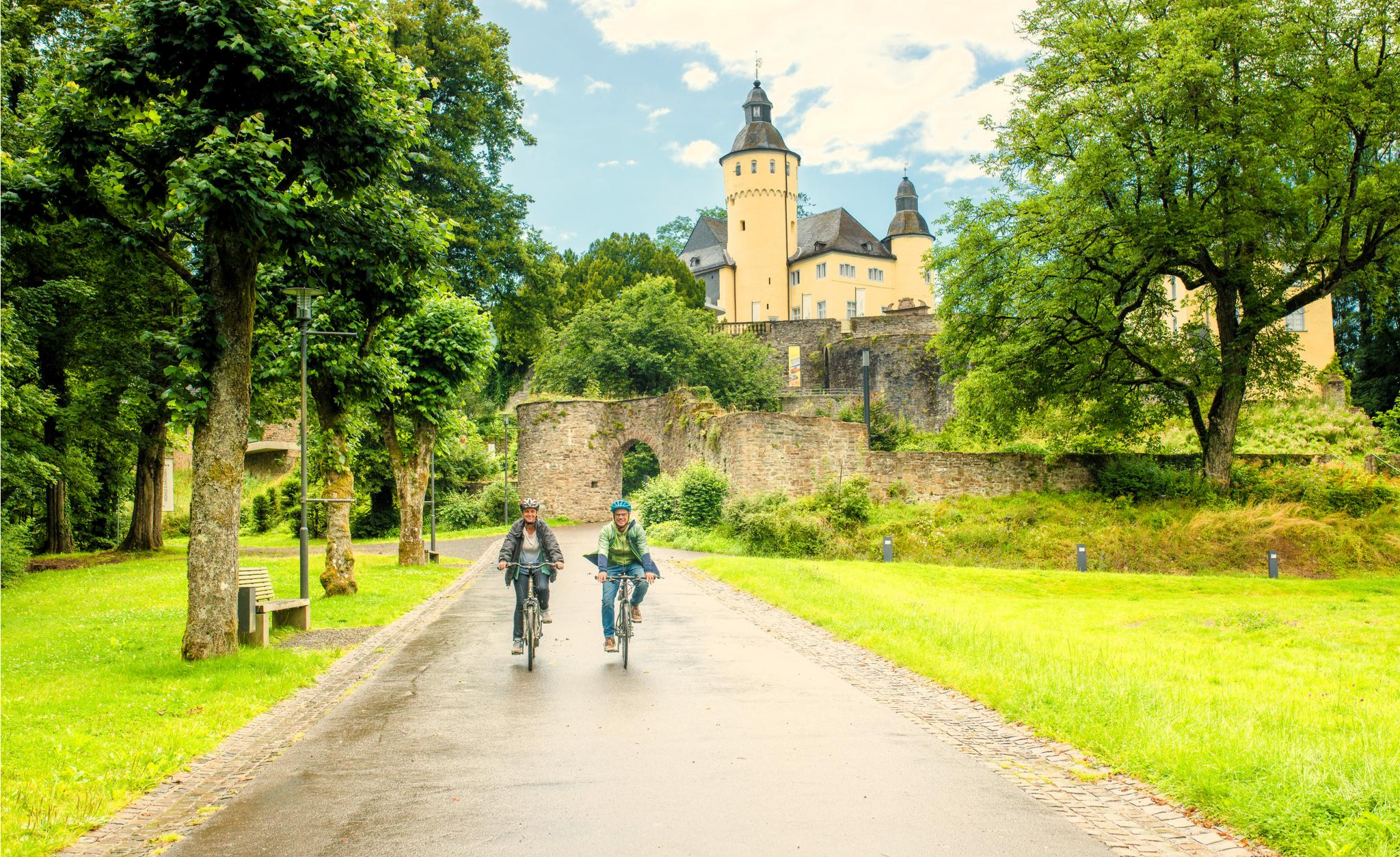
To palaces and castles - rides in the Rheinland cycling region
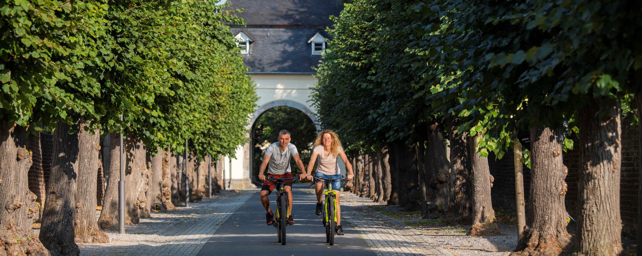
#memrädcheopjöck – cycling in the Rhineland

33 lakes for sunny weekends
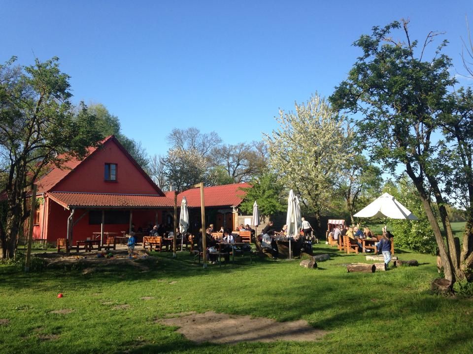
Farmer's shops — escape to the country
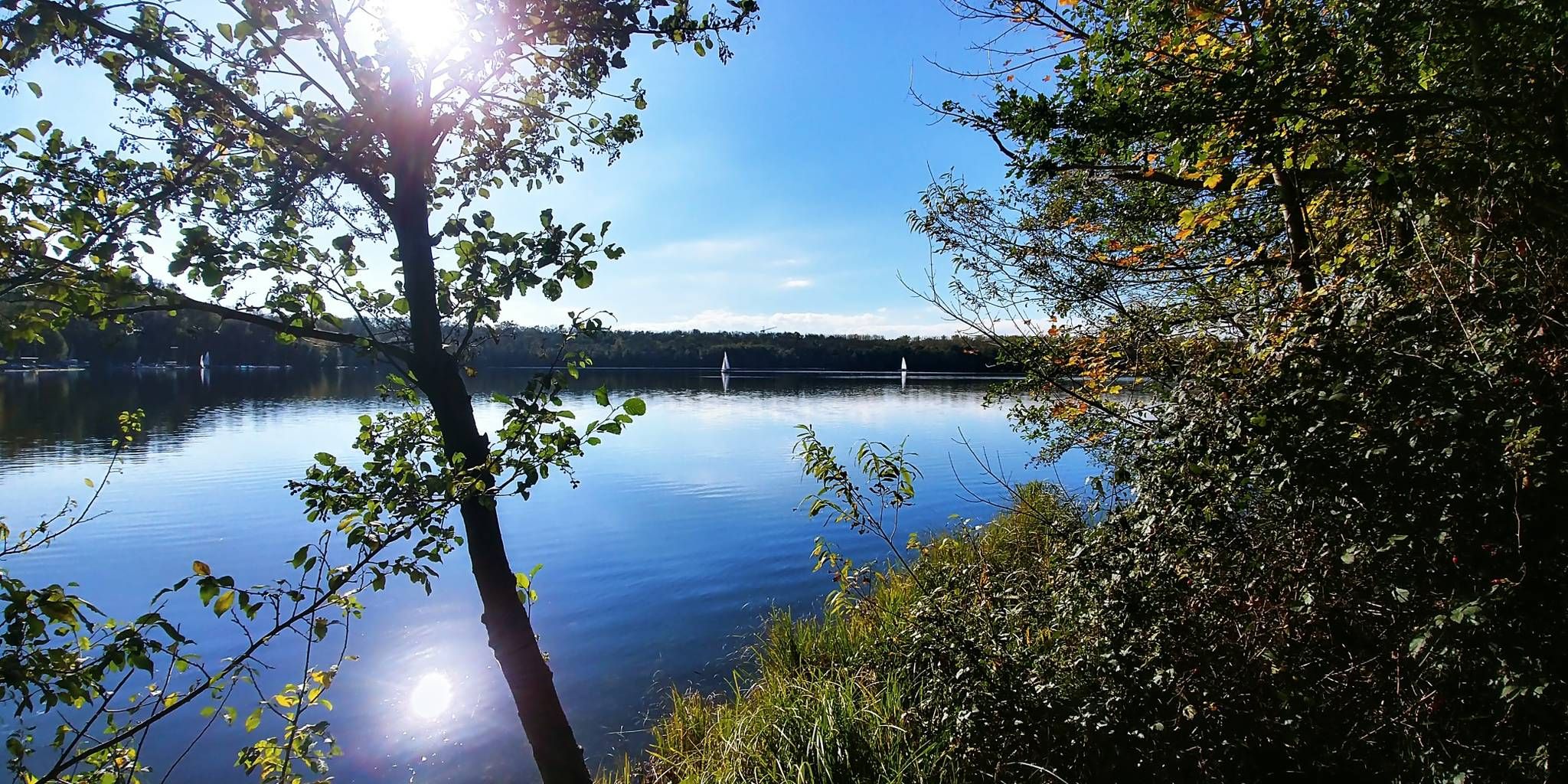
The most beautiful swimming spots around Cologne and Bonn
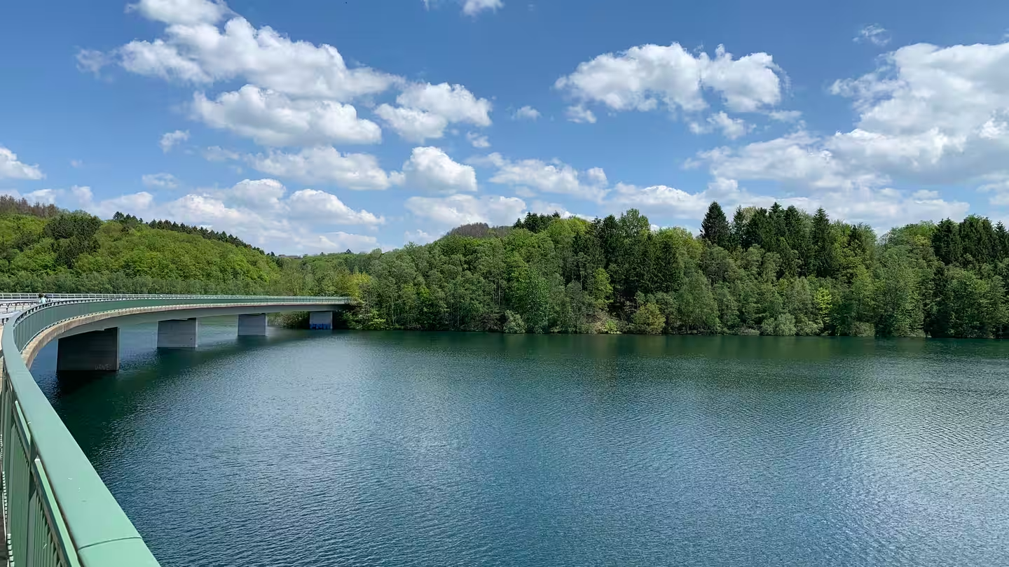
Zwischen Seeblick und Waldbaden – Mikroabenteuer in NRW
Other adventures around Hürth


Tips from the Community

Various design elements make the sacred wayside shrine, located at a fork in the road, an interesting collection; I strongly suspect, at least, that not all of them are related to the erection of the wooden wayside cross, but were probably added by visitors over time. The two beams, kept entirely in black, do not bear the corpus of Christ, but a brass plaque below the intersection. Only below this is - as I suspect, added later - another small crucifix.
1
0
Various design elements make the sacral wayside shrine, located at a crossroads, an interesting collection of items; as I strongly suspect at least, they are not all related to the erection of the wooden wayside cross, but were probably added by visitors over time. The two beams, kept entirely in black, do not bear the Corpus Christi, but a brass plaque below the intersection. Only below that is - as I suspect added later - another small crucifix. PS: The highlight has been around for a while at https://www.komoot.com/de-de/highlight/3164415
1
0


Gruhlsee is one of the residual lakes from lignite mining in the southern Rhenish lignite mining region in North Rhine-Westphalia, southwest of Cologne, near the town of Brühl in the Rhein-Erft district. It was created in 1973 and is part of the Rhineland Nature Park.
1
0


This location is very easy to get into the water. It's a lovely place to linger. Sometimes you even meet some really nice people. A very nice place.
2
0

The remains of the former Burbach monastery complex.
4
2
A nice place to relax and watch the dogs bathing.
0
0
Frequently Asked Questions
How many bus station hiking trails are available in Hürth?
There are nearly 180 hiking routes in Hürth that are easily accessible from bus stations. This includes a wide variety of trails, with over 130 considered easy, 36 moderate, and a few more challenging options.
Are there family-friendly hiking trails accessible by bus in Hürth?
Yes, Hürth offers many family-friendly routes that are easily reachable by public transport. The region's lake district, with its gentle terrain, is particularly suitable for families. An excellent option is the Burbach Monastery – Lakeside Path at Waldsee loop from Hürth, which is an easy 5.2 km trail perfect for a leisurely outing.
Can I find circular hiking routes starting from bus stations in Hürth?
Absolutely. Many of the bus-accessible trails in Hürth are circular, allowing you to start and end your hike at the same point. For example, the View of Otto-Maigler Lake – Otto Maigler Lake loop from Hürth is an easy 7.5 km circular route offering scenic views.
What kind of terrain can I expect on Hürth's bus-accessible hiking trails?
The terrain around Hürth is quite varied, ranging from flat, easy paths around the numerous lakes to slightly undulating trails through forests and green areas. You'll find many routes traversing the picturesque lake district, including Otto-Maigler-See and Gruhlsee, as well as paths within the Cologne Green Belt.
Are there any dog-friendly hiking trails near Hürth bus stops?
Yes, Hürth is a great place for hiking with dogs. Many trails, especially those through the forests and around the lakes, are suitable for canine companions. Always remember to keep your dog on a leash where required and clean up after them. The Lake Gruhl – Gruhlsee loop from Fischenich is an easy 7.4 km trail that offers plenty of space for you and your dog to enjoy nature.
What are some interesting natural sights or landmarks along these trails?
Hürth's bus-accessible trails often lead past beautiful natural features and points of interest. You can explore the scenic lake district, including Obersee, Middle Lake, and Untersee. The region is also known for its proximity to the Rheinland Nature Park, offering diverse landscapes. For a historical touch, parts of the Roman Aqueduct Trail are also nearby.
What do other hikers say about the bus station trails in Hürth?
The hiking trails in Hürth are highly regarded by the komoot community, with an average rating of 4.5 out of 5 stars from over 1,500 reviews. Hikers frequently praise the well-maintained paths, the peaceful lakeside views, and the accessibility of the routes from public transport.
Are there longer, more challenging hikes accessible by bus in Hürth?
While many routes are easy, Hürth also offers some longer, moderate options. For instance, the Otto-Maigler Lake – Otto Maigler Lake loop from Hürth is a moderate 15 km trail that provides a more extensive exploration of the lake's surroundings, perfect for those looking for a longer day out.
When is the best time of year to hike in Hürth?
Hürth's hiking trails are enjoyable year-round. Spring brings blooming nature, while summer offers pleasant walks around the lakes. Autumn provides beautiful foliage, and even in winter, the trails can be serene, especially around the frozen lakes. The region's diverse landscapes ensure a unique experience in every season.
Are there any trails that offer good viewpoints in Hürth?
Yes, several trails provide excellent viewpoints, particularly those that traverse the slightly elevated areas of the Hürtherberg Recreation Area or offer expansive views across the Cologne Lowland. The routes around Otto-Maigler Lake, such as the View of Otto-Maigler Lake – Otto Maigler Lake loop from Hürth, are known for their scenic vistas over the water.
Are there less crowded hiking options near Hürth bus stops?
While popular spots like Otto-Maigler Lake can attract visitors, Hürth's extensive network of trails means you can often find quieter paths, especially during off-peak hours or by exploring routes slightly further from the main attractions. The region's numerous smaller lakes and forest paths offer opportunities for a more tranquil experience.
Most popular routes around Hürth
Most popular attractions around Hürth

Get inspired with the komoot mobile app


Explore more
Browse the best Hikes in other regions.
