The best traffic-free bike rides around Gunzesried
4.6
(326)
2,892
riders
79
rides
No traffic gravel bike trails around Gunzesried are found within the Nagelfluhkette Nature Park, characterized by valleys, rolling hills, and mountains. The region features extensive gravel paths and narrow asphalt roads, offering varied terrain for gravel biking. Landscapes include lush forests, the Gunzesrieder Ach creek, and views of the Allgäu Mountains. The area provides a mix of quiet side roads, scenic gravel paths, and some short trail sections.
Best no traffic gravel bike trails around Gunzesried
- The most popular no…
Last updated: July 10, 2026
4.8
(13)
114
riders
71.8km
04:39
1,440m
1,440m
Hard gravel ride. Very good fitness required. Mostly paved surfaces. Suitable for all skill levels.
4.9
(14)
128
riders
48.8km
02:53
640m
640m
Hard gravel ride. Very good fitness required. Mostly paved surfaces. Suitable for all skill levels.

Sign up for free
4.5
(2)
22
riders
62.0km
04:07
1,180m
1,180m
Hard gravel ride. Very good fitness required. You may need to push your bike for some segments of this route.
5.0
(6)
46
riders
Hard gravel ride. Very good fitness required. Mostly paved surfaces. Suitable for all skill levels.
4.5
(2)
46
riders
49.7km
02:48
460m
460m
Hard gravel ride. Very good fitness required. Mostly paved surfaces. Suitable for all skill levels.
Get access to more routes and recommendations from other explorers.
Sign up for free
Already have an account?
Our route recommendations are based on thousands of hikes, rides, and runs completed by other people on komoot.
Start today with a free account
Your next adventure awaits.
Login or Signup
Popular around Gunzesried

Maximilian Trail in Germany — Lake Constance to Königssee
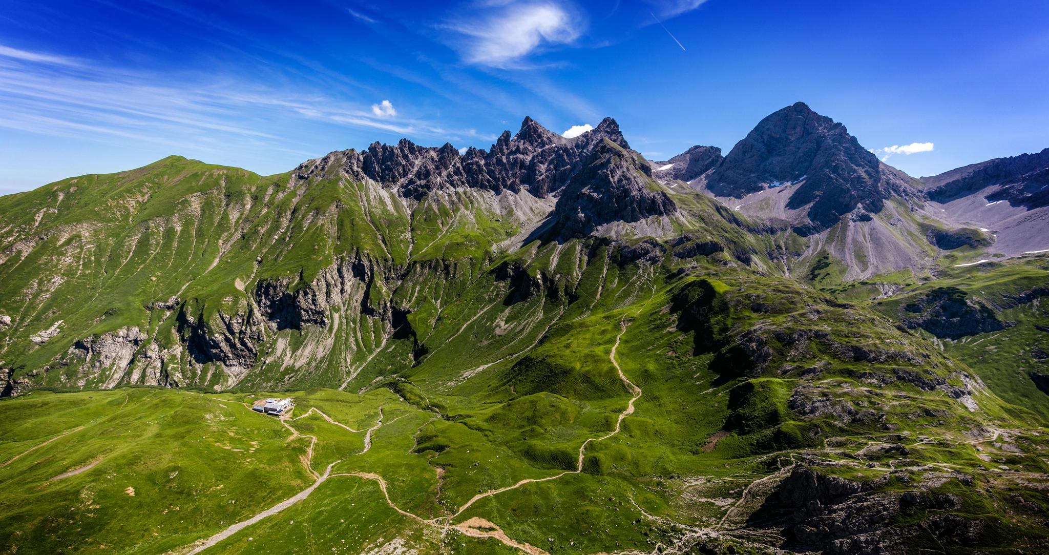
Alpenblick im Allgäu – 8 Wanderungen mit Bergpanorama
Gipfelglück im Allgäu – 8 Wanderungen mit Weitblick
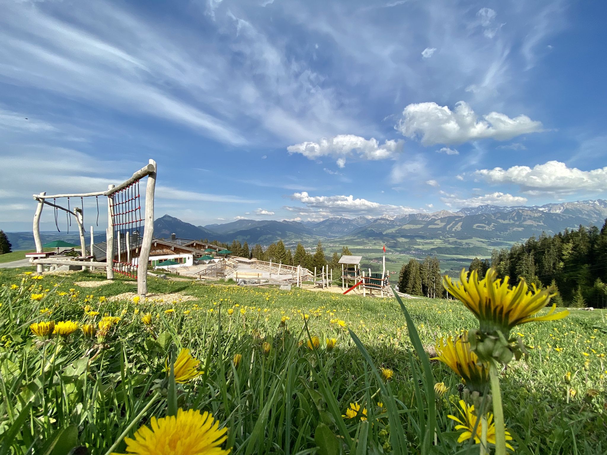
Hörnerdörfer - Themenwege
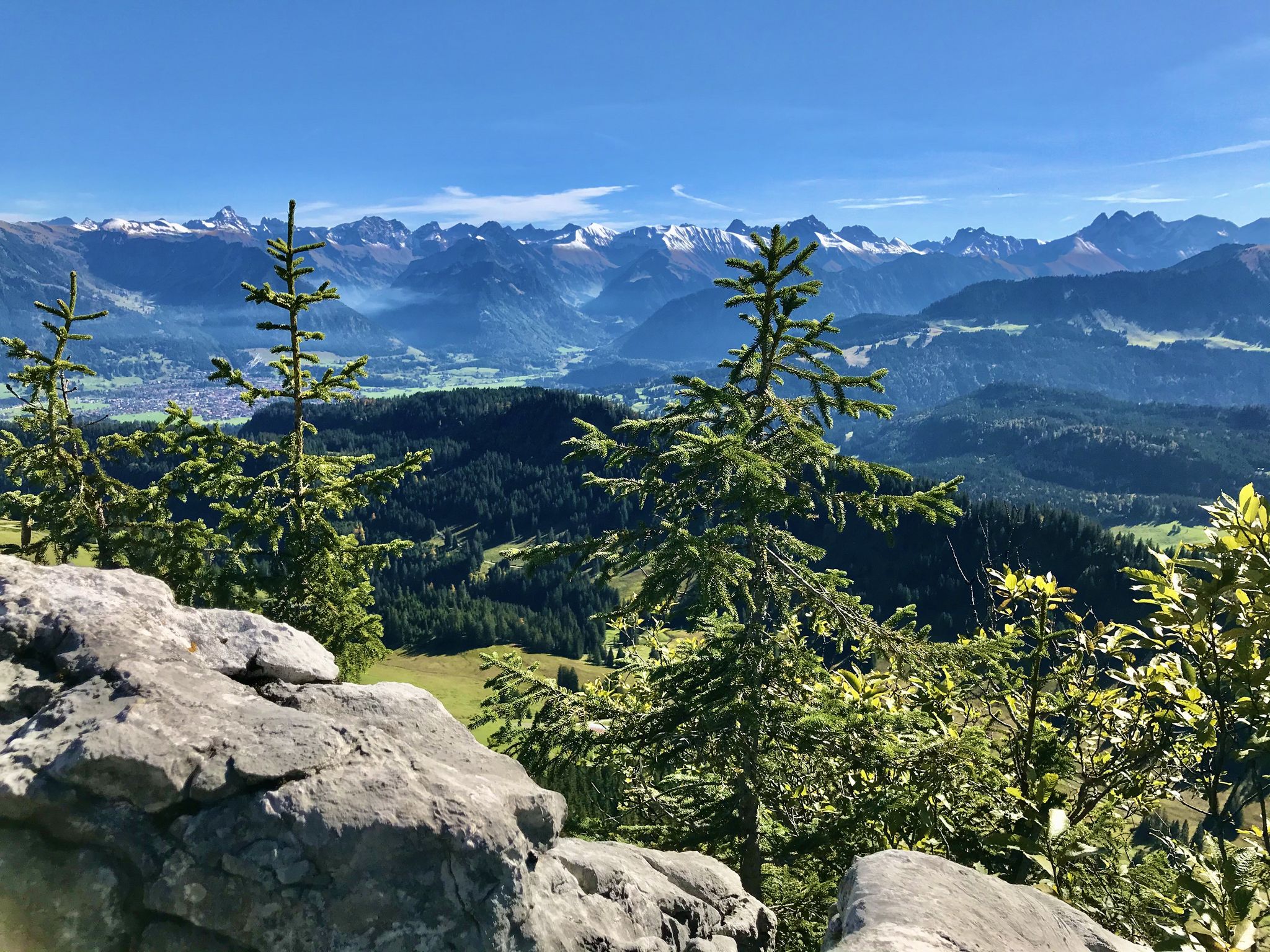
Hörnerdörfer - Aussichtsreiche Gipfelwanderungen
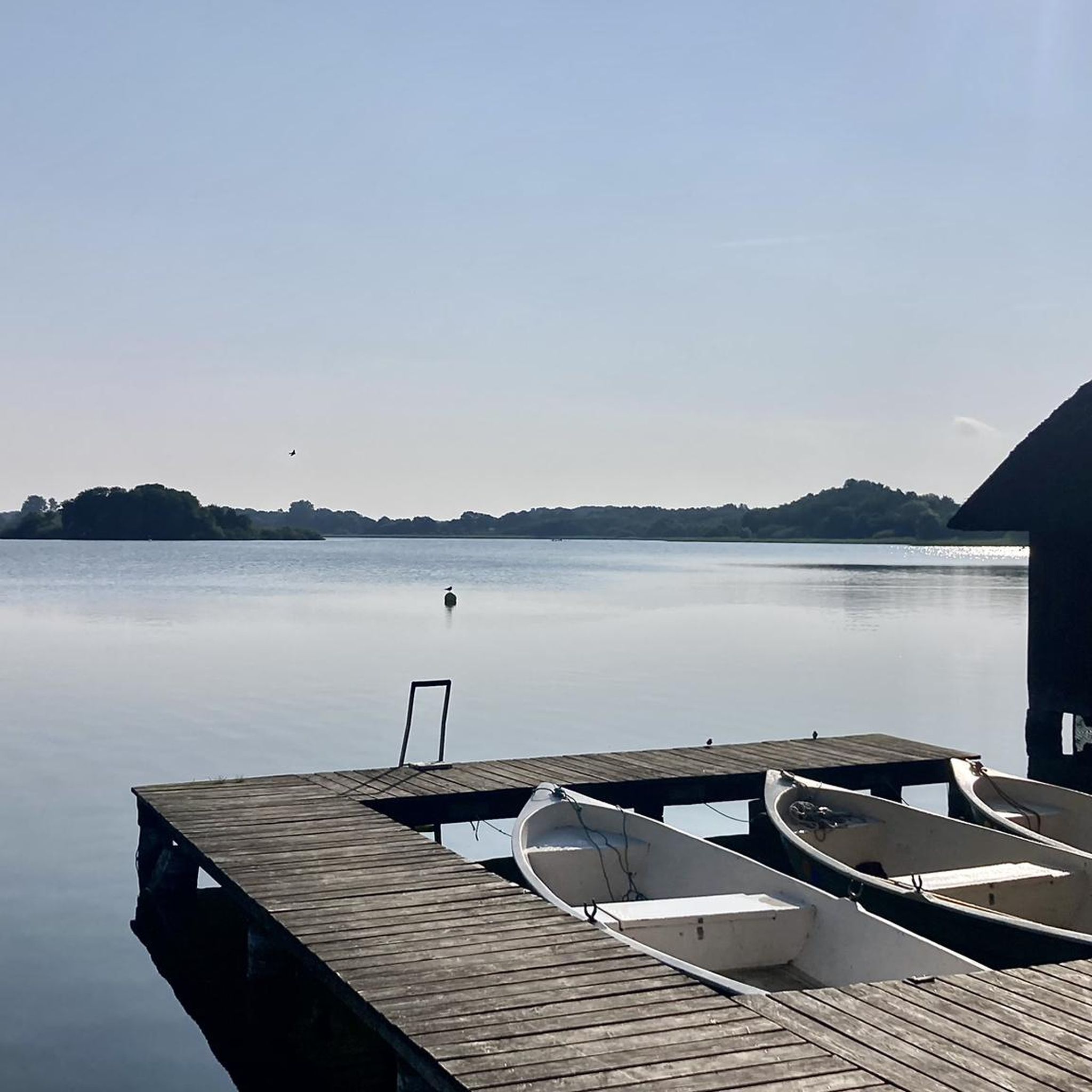
Traffic-free bike rides around Gunzesried
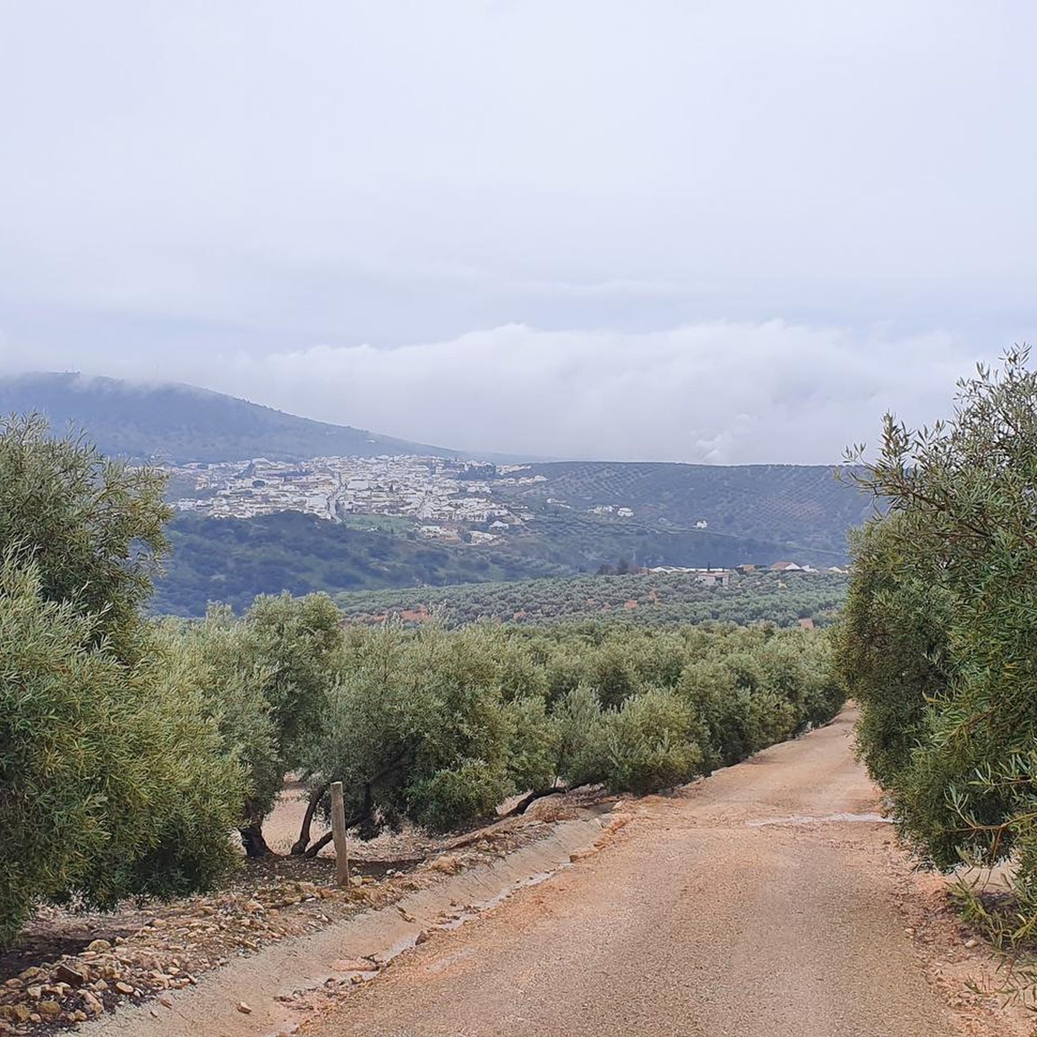
Traffic-free bike rides around Gunzesried
Other adventures around Gunzesried


Tips from the Community

The Iller cycle path between Sonthofen and Oberstdorf is consistently well-developed, with a firm and slightly gravelly surface.
0
0

Super tour from Sonthofen to Rottachsee a bit strenuous but could swim great in the lake.
0
0

Mostly directly along the Iller and the floodplain areas, it is pleasant to ride and there is much to discover with constantly great views of the Alpine panorama.
0
0

Great view of the mountains
2
0
Beautiful cycle path along the Iller
2
0
Beautiful path along the Iller
4
0

60km then you are at Lake Constance
0
0

Great panoramic views of the Allgäu mountains.
1
0
Frequently Asked Questions
How many traffic-free gravel bike trails are available around Gunzesried?
Komoot offers a wide selection of traffic-free gravel bike trails around Gunzesried, with over 80 routes to choose from. These range from easy discovery tours to more challenging alpine ascents, ensuring there's something for every skill level.
What kind of terrain can I expect on the gravel bike trails in Gunzesried?
The Gunzesried region, nestled in the Nagelfluhkette Nature Park, offers a diverse mix of terrain. You'll encounter picturesque valleys, rolling hills, and majestic mountains. Trails often combine long gravel sections with narrow asphalt roads, forest paths, and even some short, non-technical trail sections. Expect varied surfaces, from smooth gravel to coarser sections.
Are there any circular gravel bike routes without traffic in Gunzesried?
Yes, many of the traffic-free gravel routes in Gunzesried are designed as loops, allowing you to start and finish at the same point. For example, the Lecknertal Valley – Rohrmoos Valley loop from Blaichach (Allgäu) offers a challenging circular ride, and the View of the Oytal Valley – Oytal Valley loop from Sonthofen provides another great option.
What scenic viewpoints or natural features can I discover along the gravel trails?
The region is rich in natural beauty. You can find impressive panoramas of the Allgäu mountains, idyllic lakes, and river landscapes. Notable natural features include the Starzlach Gorge and the Gunzesrieder Gorge. You might also encounter the Hinanger Waterfall or enjoy views from mountain passes like the Riedberg Pass.
What is the best time of year for gravel biking in Gunzesried?
The best time for gravel biking in Gunzesried is typically from spring through autumn. During these seasons, the weather is generally favorable, and the trails are free of snow. While winter offers other outdoor activities like snowshoeing and skiing, the warmer months provide ideal conditions for cycling through the valleys and mountains.
Are there any family-friendly traffic-free gravel routes in Gunzesried?
While many routes in the Gunzesried area can be challenging, there are options suitable for families looking for quieter rides. The region's extensive network of gravel paths and quiet side roads allows for more relaxed discovery tours. Look for routes with lower elevation gain and shorter distances for a more family-friendly experience.
Can I bring my dog on the gravel bike trails in Gunzesried?
Many gravel trails in the Gunzesried area are suitable for cycling with dogs, especially those that follow wider forest paths or quiet gravel roads. However, it's always recommended to keep your dog on a leash, especially in nature protection areas or when passing through pastures with livestock. Be mindful of local regulations and ensure your dog is fit for the distance and terrain.
Where can I find parking or access routes via public transport?
Many routes start from towns like Sonthofen or Blaichach, which typically offer public parking facilities. These towns also serve as hubs for public transport, making it possible to reach the starting points of various trails without a car. For example, the Lake Rottach – Illerwehr loop from Sonthofen is easily accessible from Sonthofen.
What do other gravel bikers enjoy most about the traffic-free trails in Gunzesried?
The komoot community highly rates the gravel biking experience in Gunzesried, with an average score of 4.57 stars. Reviewers often praise the stunning panoramic views of the Allgäu mountains, the tranquility of the traffic-free paths, and the diverse terrain that offers both challenging ascents and serene valley rides. The opportunity to discover local attractions like traditional alpine dairies is also frequently highlighted.
Are there places to eat or stay along the traffic-free gravel routes?
Yes, the Gunzesried region offers opportunities to refuel and rest. Along many routes, you can find traditional alpine dairies (Sennalpen) like Derb, Oberberg, and Gerstenbrändle, where you can taste and purchase local cheese. The Gunzesrieder Bergfischzucht (mountain fish farm) also offers fresh char. Nearby towns and villages provide various accommodation options and additional dining choices for cyclists.
What is the difficulty level of the traffic-free gravel trails in Gunzesried?
The difficulty of traffic-free gravel trails in Gunzesried varies significantly. While there are easier routes suitable for beginners, many trails are rated as 'difficult' due to considerable elevation gains and longer distances. For instance, the View over Oberstdorf – View from Hörnlepass loop from Sonthofen involves over 1100 meters of elevation gain, offering a substantial challenge.
Most popular routes around Gunzesried
Most popular attractions around Gunzesried

Get inspired with the komoot mobile app


Explore more
Browse the best Gravel rides in other regions.
