The best traffic-free bike rides around Gerolstein
4.6
(36)
183
riders
39
rides
No traffic gravel bike trails around Gerolstein navigate a landscape shaped by volcanic activity, featuring rolling hills, dense forests, and ancient maars. The region is characterized by distinctive dolomite rock formations and a network of trails that utilize former railway tracks. This unique geology provides varied terrain for gravel biking, from challenging ascents to smoother sections.
Best no traffic gravel bike trails around Gerolstein
- The most popular no traffic gravel bike trail is View of Salm – View of Bertrada…
Last updated: August 20, 2026
4.0
(3)
12
riders
42.4km
02:48
550m
550m
Hard gravel ride. Very good fitness required. Mostly paved surfaces. Suitable for all skill levels.
5.0
(1)
3
riders
37.9km
02:40
580m
580m
Hard gravel ride. Very good fitness required. Mostly paved surfaces. Suitable for all skill levels.

Sign up for free
5.0
(2)
6
riders
36.7km
02:21
520m
520m
Hard gravel ride. Very good fitness required. Mostly paved surfaces. Suitable for all skill levels.
4.0
(1)
2
riders
37.6km
02:45
750m
750m
Hard gravel ride. Very good fitness required. You may need to push your bike for some segments of this route.
2
riders
33.2km
02:09
510m
510m
Hard gravel ride. Very good fitness required. Mostly paved surfaces. Suitable for all skill levels.
Get access to more routes and recommendations from other explorers.
Sign up for free
Already have an account?
Our route recommendations are based on thousands of hikes, rides, and runs completed by other people on komoot.
Start today with a free account
Your next adventure awaits.
Login or Signup
Popular around Gerolstein

#GoFurther – discover the views of Germany!

Volcanoes, water, forest – the partner trails of the Eifelsteig
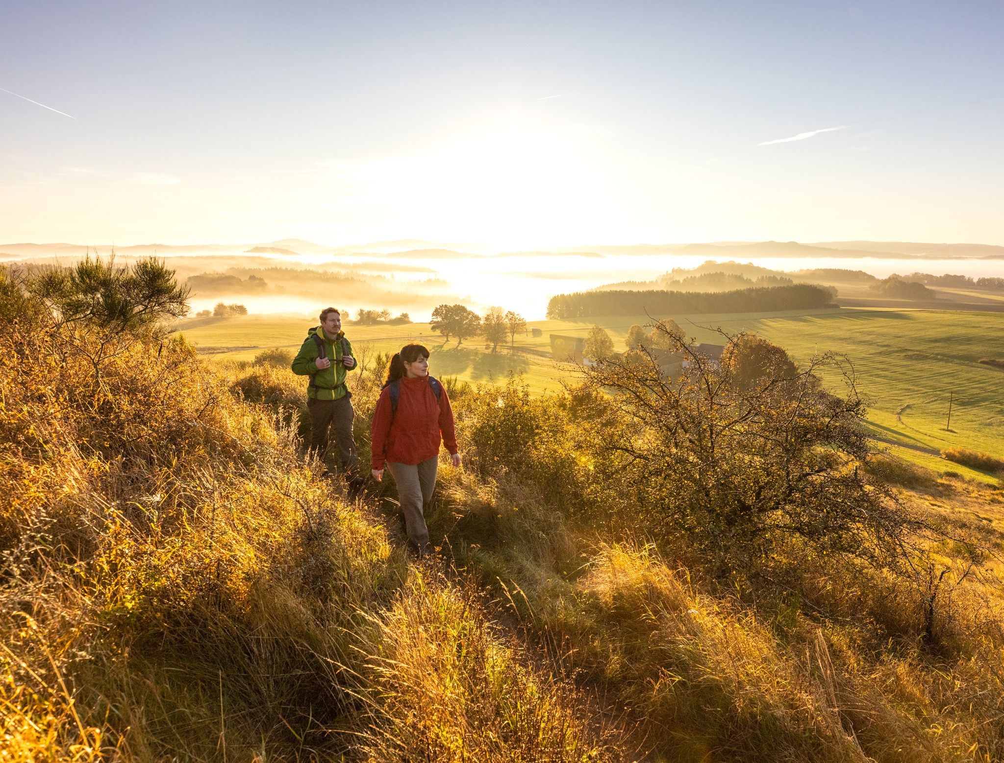
The 15 stages of the Eifelsteig Trail — Between rocks and water
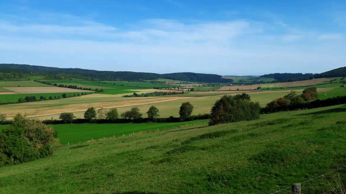
Volcanic landscapes between Germany and Belgium – Eifel-Ardennes Cycle Route
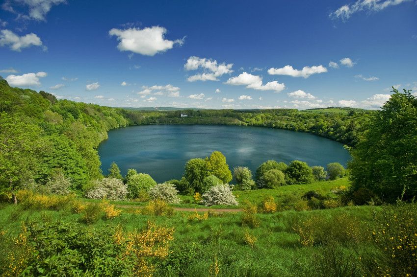
Vulkan Eifel — bike and hike

Traffic-free bike rides around Gerolstein

Traffic-free bike rides around Gerolstein
Other adventures around Gerolstein


Tips from the Community

The Schöneck Switzerland can also be explored very well by bike.
0
0
There are so many hiking trails and tours in the Schönecker Schweiz and the dolomite rocks are simply worth seeing.
0
0
The Schönecker Schweiz is beautiful in every season and it's simply fun to hike there!
0
0

Impressive spruce + resting place for a quiet break :)
0
0

For those with time, a visit to the Eagle and Wolf Park is certainly interesting.
0
0
Two curved benches invite you to take a nap. -:)
0
0

In the long-gone days of our grandparents, a central bakehouse was common for the village community. In many places, these were eventually demolished. Here in Bolsdorf, however, it has been preserved and still bears witness to the old days.
7
0

Million dollar view of the castle
0
0
Frequently Asked Questions
How many no-traffic gravel bike trails are available around Gerolstein?
Komoot offers over 40 dedicated no-traffic gravel bike trails around Gerolstein. These routes allow you to explore the unique volcanic landscapes and dense forests of the Volcanic Eifel region without encountering significant vehicle traffic.
Are there any easy or beginner-friendly no-traffic gravel routes in Gerolstein?
While many routes in the Gerolstein area are rated as difficult due to the hilly volcanic terrain, there are also moderate options available. For a gentler experience, consider sections of the Kyll cycle path which runs through the Gerolstein Kurpark, offering a smoother ride. Always check the route details on komoot for specific difficulty ratings before you go.
What kind of landscapes can I expect on these traffic-free gravel trails?
The traffic-free gravel trails around Gerolstein traverse the stunning Volcanic Eifel region, characterized by rolling hills, dense forests, and ancient maars (volcanic crater lakes). You'll encounter unique geological formations like the Gerolsteiner Dolomites, extinct volcanic cones, and mineral springs. Routes often utilize former railway tracks for smoother sections, providing a diverse and scenic riding experience.
Are there any circular no-traffic gravel bike routes available?
Yes, many of the gravel bike routes around Gerolstein are designed as circular tours, allowing you to start and end at the same point. An example is the challenging View of Salm – View of Bertrada Castle loop from Gerolstein, which covers over 42 km. Another option is the Schönecken Switzerland – Schönecker Schweiz Trail loop from Müllenborn, offering a scenic 37 km ride.
What are some notable viewpoints or natural attractions along the no-traffic gravel trails?
The region is rich in natural beauty. You can find stunning views of volcanic maars, such as the View of the Gemünden maar, or the impressive Schalkenmehrener Maar. The Gerolsteiner Dolomites, with peaks like Munterley, also offer panoramic vistas. Don't miss the unique 'growing' Dreimühlen Waterfall, formed by limestone deposits, which is a fascinating natural phenomenon to explore.
Can I access these gravel trails using public transport?
Gerolstein is accessible by train, and the train station is often a convenient starting point for many routes. The Kyll cycle path, for instance, runs directly through the Gerolstein Kurpark, making it easily reachable from the town center. Check local public transport schedules for connections to specific trailheads.
What do other gravel bikers enjoy most about the no-traffic routes in Gerolstein?
The no-traffic gravel routes in Gerolstein are highly rated by the komoot community, with an average score of 4.56 stars. Reviewers often praise the peacefulness of the trails, the stunning volcanic scenery, and the well-maintained paths that allow for an immersive experience in nature away from cars.
Are there any historical sites or castles to see along the routes?
Yes, the Volcanic Eifel region is dotted with historical sites. You might encounter medieval castles and ruins, such as those near Manderscheid, or the ruins of Löwenburg Castle. The View of Kasselburg Castle – Old Bakehouse Bolsdorf loop from Müllenborn offers views of the impressive Kasselburg Castle, home to an eagle and wolf park.
What is the best time of year to ride no-traffic gravel trails in Gerolstein?
Spring and autumn generally offer the most pleasant conditions for gravel biking in Gerolstein, with milder temperatures and beautiful foliage. Summer can also be enjoyable, especially in the shaded forest sections, but be prepared for potentially warmer weather. Always check local weather forecasts before heading out.
Are there any longer, more challenging no-traffic gravel routes for experienced riders?
Absolutely. For experienced riders seeking a challenge, routes like the Royal Spruce – Wallender Born Geyser loop from Hinterhausen offer significant elevation gains, with over 749 meters of ascent over 37.5 km. Many of the 31 difficult routes in the area provide demanding terrain and rewarding views.
Can I find routes that pass by lakes or maars?
Yes, the Volcanic Eifel is famous for its maars. Several routes will take you past these unique volcanic crater lakes. For example, the View of the Gemünden maar – View of the Gemündener Maar loop from Gerolstein offers stunning views of the Gemündener Maar. Other notable maars in the region include the Schalkenmehrener Maar and the Meerfelder Maar.
Most popular routes around Gerolstein
Most popular attractions around Gerolstein

Get inspired with the komoot mobile app


Explore more
Browse the best Gravel rides in other regions.
