The best hikes from bus stations around Hayingen
4.6
(4127)
15,400
hikers
72
hikes
Bus station hiking trails around Hayingen offer access to the diverse landscapes of the Swabian Alb, characterized by rolling hills, dense forests, and unique geological formations. The region features picturesque valleys like the Great Lauter Valley and Glastal Valley, alongside impressive limestone cliffs and expansive juniper heaths. Hikers can explore a network of trails that traverse varied terrain, including areas with small waterfalls and historical castle ruins.
Best bus station hiking trails around Hayingen
- The most popular bus station hiking…
Last updated: June 26, 2026
4.6
(99)
409
hikers
18.4km
05:02
290m
290m
Hard hike. Very good fitness required. Easily-accessible paths. Suitable for all skill levels.
4.7
(66)
175
hikers
18.2km
05:05
350m
350m
Hard hike. Very good fitness required. Easily-accessible paths. Suitable for all skill levels.

Sign up for free
4.8
(78)
268
hikers
10.3km
02:56
220m
220m
Moderate hike. Good fitness required. Mostly accessible paths. Sure-footedness required.
4.8
(204)
774
hikers
Easy hike. Great for any fitness level. Easily-accessible paths. Suitable for all skill levels.
4.7
(17)
115
hikers
17.2km
05:05
470m
470m
Hard hike. Very good fitness required. Mostly accessible paths. Sure-footedness required.
Get access to more routes and recommendations from other explorers.
Sign up for free
Already have an account?
Our route recommendations are based on thousands of hikes, rides, and runs completed by other people on komoot.
Start today with a free account
Your next adventure awaits.
Login or Signup
Popular around Hayingen
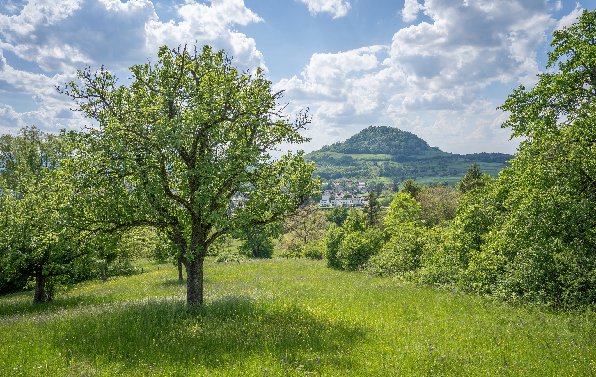
Natural splendour on the Hochgehbergen
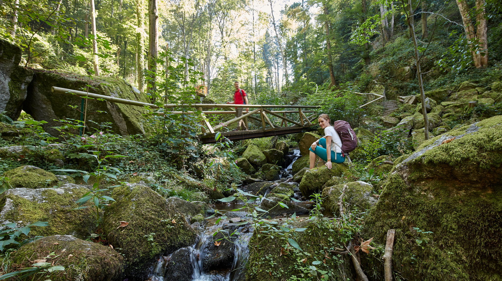
Waterfalls, gorges and cliffs – cooling off in Baden-Württemberg
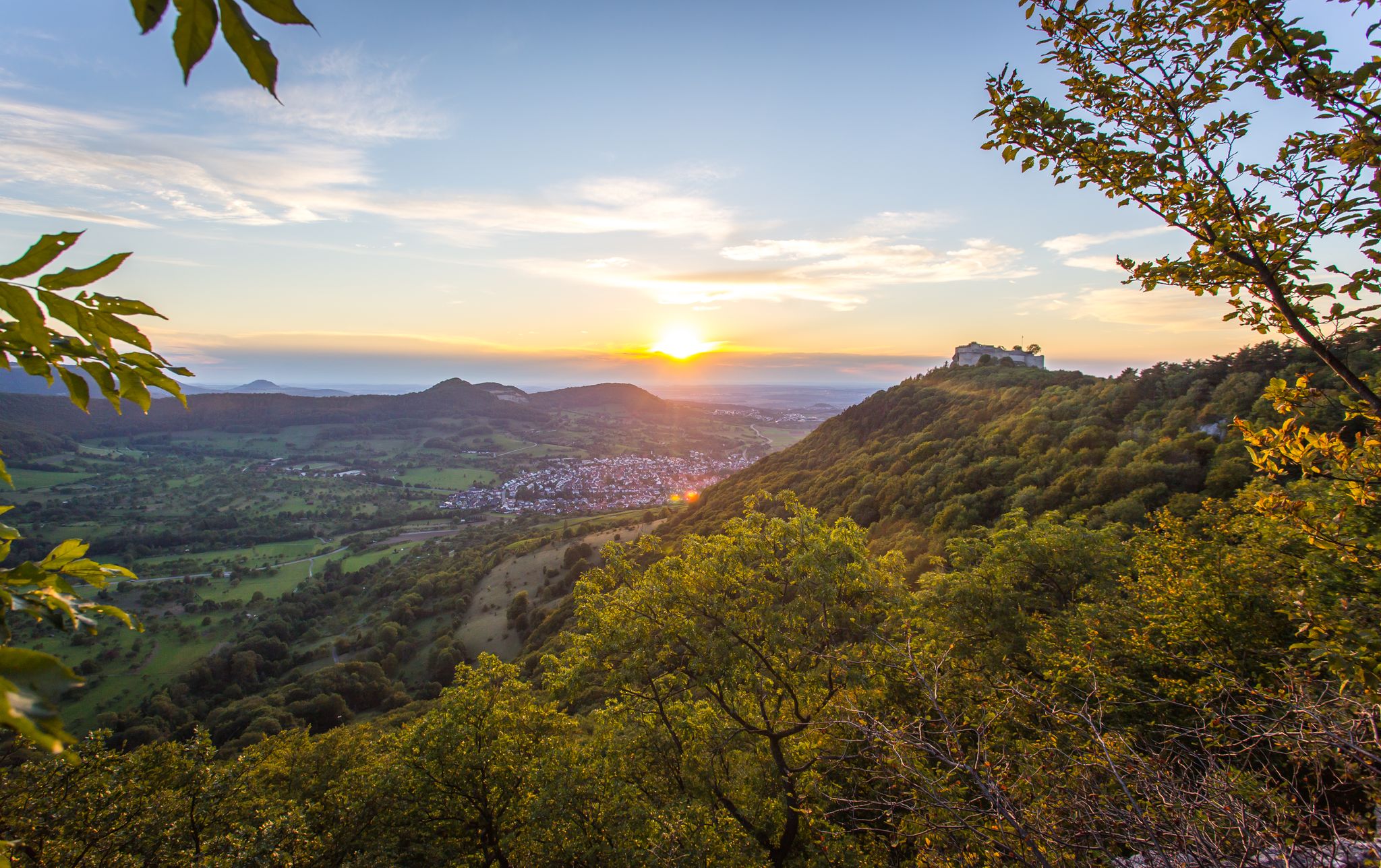
Beautifully high – castles in the Hochgehberge mountains
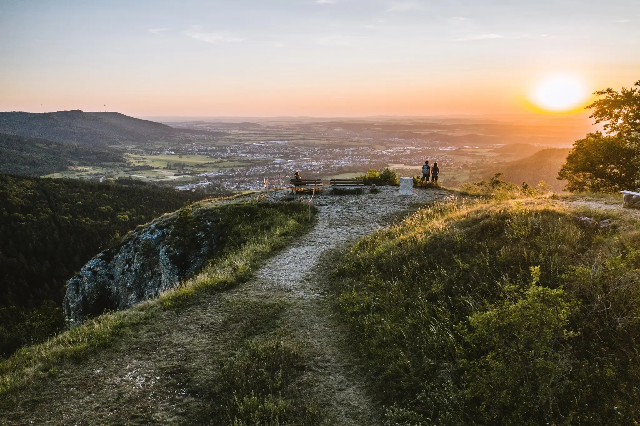
Discover the fascinating rocks and caves of Germany’s Swabian Alb
22 high mountain walks — hiking in the Swabian Alb
Explore the myths of the Swabian Alb – 20 fantastic bike Tours
Other adventures around Hayingen


Tips from the Community

A cool-down is always nice.
0
0

Trail which goes very steeply upwards, you have to be a bit careful on loose stones during the ascent, especially if you are out without hiking poles. You should have sure-footedness to get up.
0
0

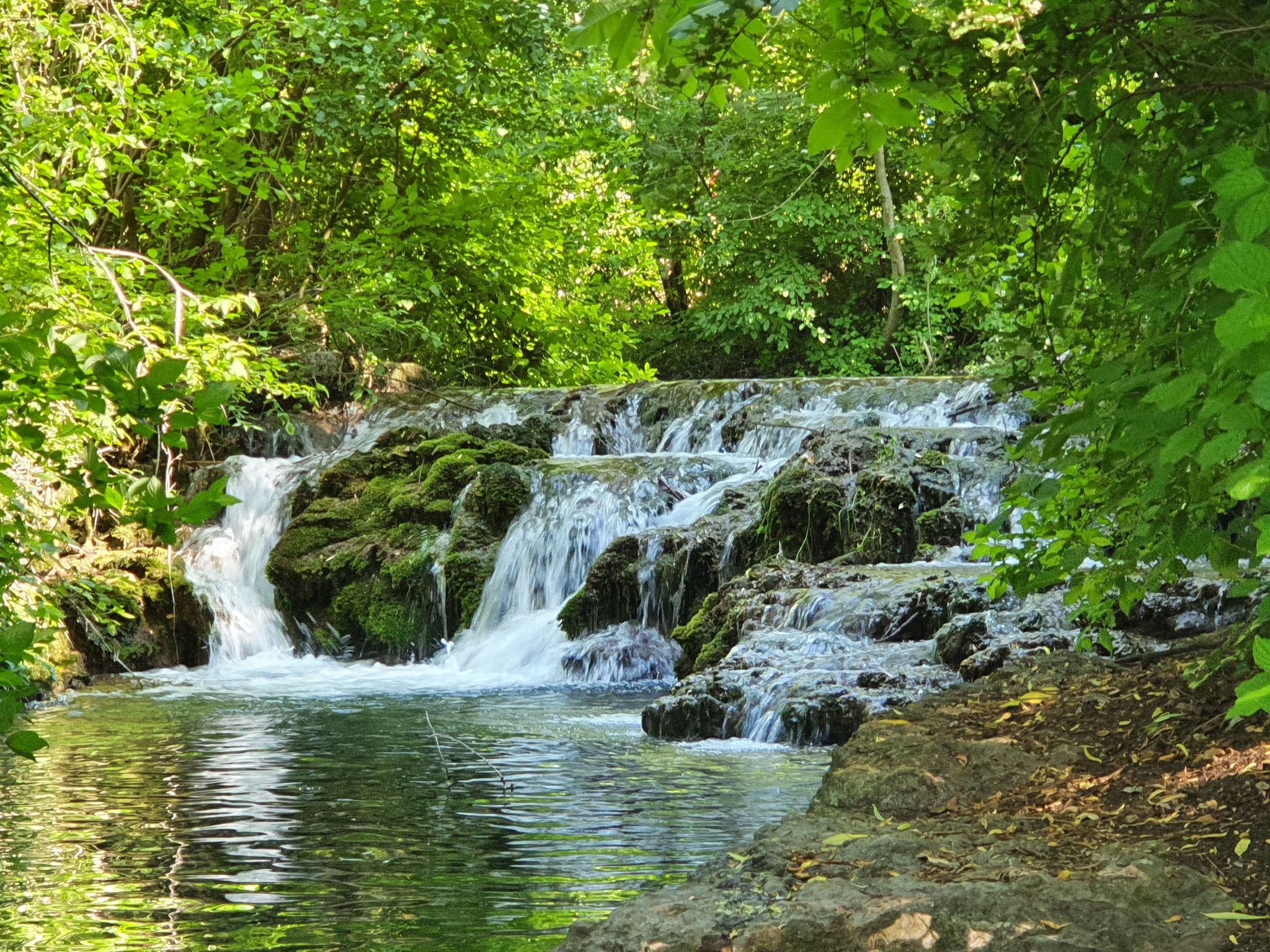
Brutally clear water… see the trout standing on the bottom… really beautiful
11
1
Like walking over a mirror so clear
9
0
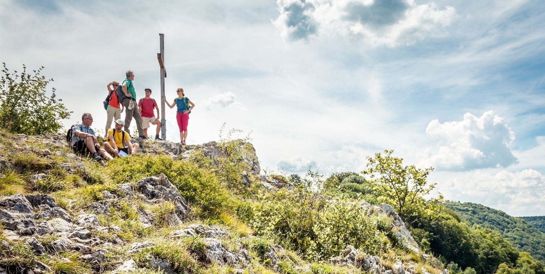
And if you look closely you will also discover the summit cross
9
0
Great view when everything is reflected in the water
9
0
Great route for everyone... but you're probably rarely alone here
9
0

Replica of a boundary stone that once stood on this historic border.
0
0
Frequently Asked Questions
How many bus station hiking trails are available around Hayingen?
There are over 75 hiking routes accessible from bus stations around Hayingen, offering a wide range of options for all skill levels. This includes 39 easy, 31 moderate, and 5 difficult trails.
What kind of terrain can I expect on bus-accessible hikes in the Hayingen region?
The Hayingen region, nestled in the Swabian Alb, offers diverse terrain. You can expect rolling hills, dense forests, picturesque valleys like the Great Lauter Valley and Glastal Valley, as well as impressive limestone cliffs and expansive juniper heaths. Trails often feature varied surfaces, from well-maintained paths to more natural, uneven forest floors.
Are there any family-friendly hiking trails accessible by bus in Hayingen?
Yes, many of the 39 easy routes are suitable for families. The region's diverse landscapes, including gentle valley paths and areas around natural attractions like the Wimsener Cave, provide excellent options for all ages. Look for routes with lower elevation gain and shorter distances for a comfortable family outing.
What are some natural attractions or points of interest I can see along bus-accessible routes?
The Hayingen area is rich in natural beauty. You can explore the unique Wimsener Cave, Germany's only active water cave navigable by boat, or discover waterfalls like the "Wasserfall Hoher Gießel" where the Lauter river cascades. The Glastal Valley is also a highlight, known for its crystal-clear stream and impressive cliffs. Many trails also lead through expansive juniper heaths.
Are there any circular hiking routes that start and end near a bus station?
Yes, the region offers several excellent circular routes. For example, the challenging Glastal Valley – Zwiefalter Ach loop from Hayingen is a popular option, taking you through varied landscapes. Another moderate choice is the Zwiefalter Ach – Wimsener Höhle Natural Pool loop from Wimsener Höhle / Friedrichshöhle, which explores the area around the famous cave.
What historical landmarks or castles can I visit on hikes from bus stops?
The region is dotted with historical sites. You can hike to impressive ruins such as Hohengundelfingen castle ruins, offering views over the Lauter Valley, or the Bichishausen Castle Ruins. The Bichishausen Village – View of Gundelfingen loop from Burg Derneck is a moderate route that takes you past some of these historical points.
What do other hikers enjoy most about hiking in Hayingen?
The area is highly rated by the komoot community, with an average score of 4.64 stars from over 3,700 ratings. Reviewers often praise the diverse and picturesque natural landscapes, the well-maintained trail network, and the unique geological formations found throughout the Swabian Alb.
When is the best time of year to go hiking from bus stations in Hayingen?
The best time to visit for hiking in Hayingen is typically in spring and summer, when the landscape is in full bloom and the weather is pleasant. Autumn also offers vibrant colors, making it a beautiful season for walks. While winter hiking is possible, some trails might be less accessible or require appropriate gear due to snow or ice.
Are there any viewpoints or panoramic trails accessible by public transport?
Yes, the region offers several stunning viewpoints. While specific bus-accessible routes to every tower might vary, the area features the Augstberg Tower and Dachenstein Observation Tower, which provide excellent panoramic views of the surrounding landscapes, including the Trochtelfinger Alb and the Meidelstetter valley. Many trails also offer natural scenic overlooks.
Are there any caves to explore on hikes near Hayingen bus stops?
Absolutely. The Wimsener Cave (Friedrich Cave) is a must-see, being Germany's only active water cave navigable by boat. The Hasenbach Spring – Wimsener Cave loop from Indelhausen is a difficult route that leads directly to this natural wonder. Another route, the Gerber Cave – Ochsenlöcher Caves loop from Anhausen, explores other fascinating cave formations in the area.
Most popular routes around Hayingen
Most popular attractions around Hayingen

Get inspired with the komoot mobile app


Explore more
Browse the best Hikes in other regions.
