The best traffic-free bike rides around Bollendorf
4.4
(1968)
9,418
riders
18
rides
No traffic touring cycling routes around Bollendorf are set within the scenic German-Luxembourg Nature Park, characterized by rolling hills, dense woodlands, and the meandering Sauer and Our river valleys. The landscape features unique sandstone formations and offers a mix of gentle gradients along river paths and more challenging ascents through forested areas. This diverse terrain provides varied cycling experiences for different skill levels.
Best no traffic touring cycling routes around Bollendorf
- The most popular no traffic touring cycling route is…
Last updated: October 13, 2026
5.0
(4)
19
riders
32.1km
02:58
640m
640m
Hard bike ride. Very good fitness required. You may need to push your bike for some segments of this route.
5.0
(2)
28
riders
Easy bike ride. Great for any fitness level. Mostly paved surfaces. Suitable for all skill levels.

4.7
(3)
11
riders
29.9km
02:26
410m
410m
Moderate bike ride. Good fitness required. Mostly paved surfaces. Suitable for all skill levels.
8
riders
46.0km
04:25
940m
940m
Hard bike ride. Very good fitness required. You may need to push your bike for some segments of this route.
4.0
(1)
6
riders
34.4km
03:12
740m
740m
Hard bike ride. Very good fitness required. You may need to push your bike for some segments of this route.
Get access to more routes and recommendations from other explorers.
Already have an account?
Our route recommendations are based on thousands of hikes, rides, and runs completed by other people on komoot.
Start today with a free account
Your next adventure awaits.
Popular around Bollendorf
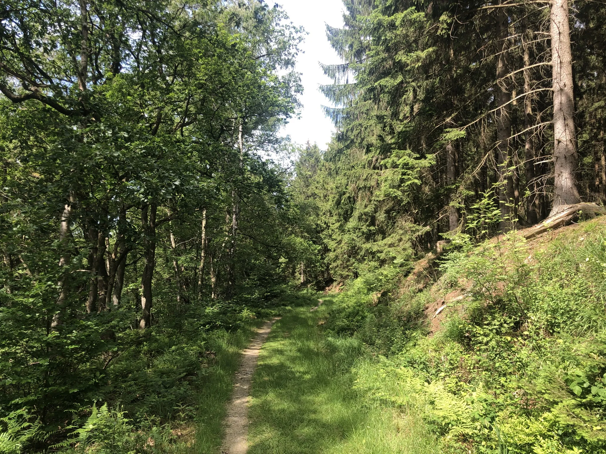
Trans-Eifel in 6 stages — Mountains rich and pure nature
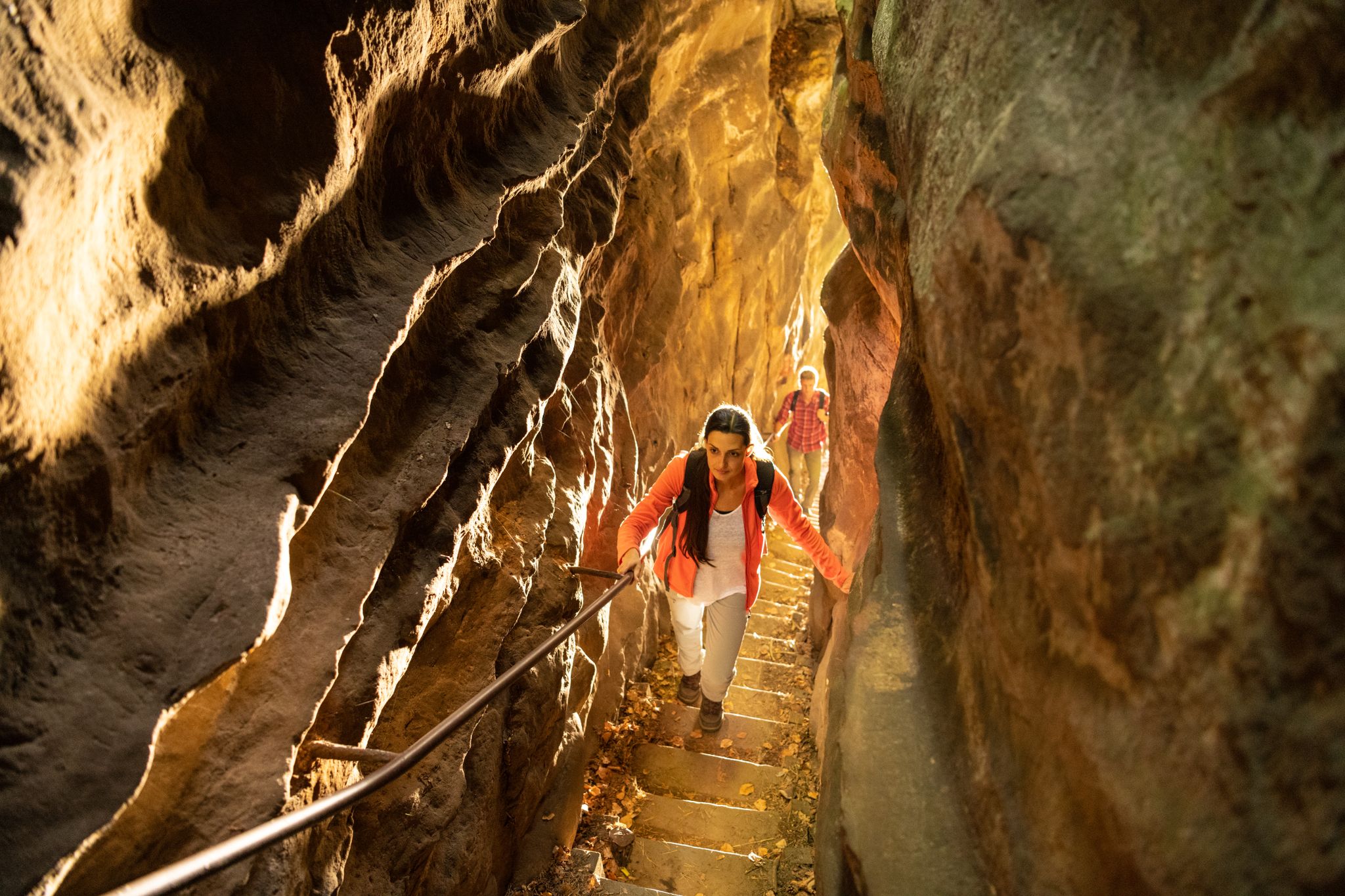
Lakes, castles and rocks – hiking in the NaturWanderPark delux
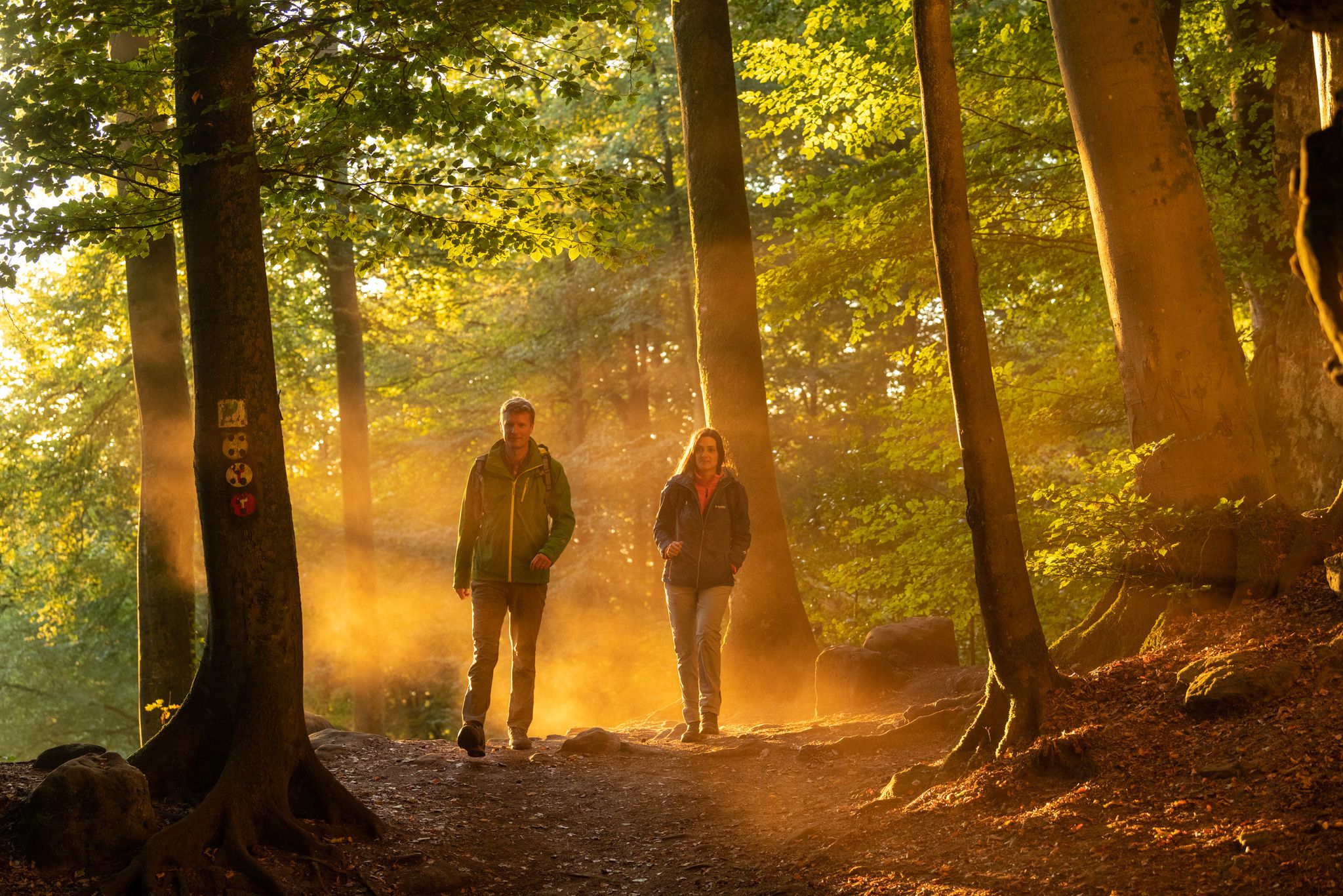
Mysterious forests and gorges — South Eifel and Luxembourg
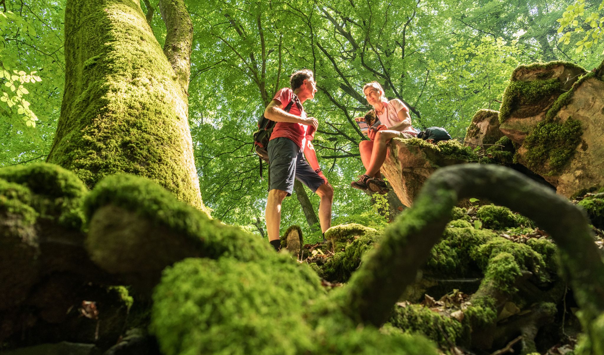
Ancient forests in the DeLux Nature Park
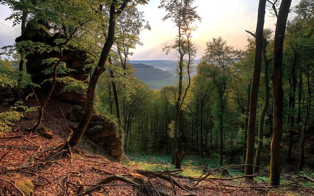
Mystical gorges and deep forests — hiking in Southern Eifel and in Luxembourg

Traffic-free bike rides around Bollendorf
Traffic-free bike rides around Bollendorf
Other adventures around Bollendorf


Tips from the Community

In the rock labyrinth of the Eulenhorst rock formation, you sometimes feel like you're getting lost among all the high rock crevices, passages, small stairs, etc. But you usually find the path again.
6
0
Beautiful viewpoint. Under the imposing wooden cross, the Sauer valley stretches out before you. Enjoy the panorama and - if necessary - you can rest on the bench. Beautiful viewpoint. Under the imposing wooden cross, the Sauer valley stretches out before you. Enjoy the panorama and - if necessary - you can rest on the bench.
6
0
At the end of the 18th century, Empress Maria Theresa of Austria, also Duchess of Luxembourg, had the land surveyed by engineers and cartographers. Here, on the border between the possessions of the Abbey of Echternach and the County of Vianden, a boundary stone was erected on the site of a cross that had marked the border for centuries. The massive, square stone, over a meter high and 80 cm wide, now bears the name of the esteemed sovereign, the "Maria Theresa Stone". On the east side of the marker stone is the coat of arms of the "Holy Roman Empire of the German Nation", the double-headed eagle. This testifies to the fact that the Abbey of Echternach was an imperial abbey directly subordinate to the emperor. The year of construction, 1771, is engraved above the imperial coat of arms. The coat of arms of the Counts of Vianden can be seen on the west side of the stone. The two crosses on the sides date from the Prussian era (1816). The border ran from the Maria Theresa Stone in a westerly direction through a deeply cut valley, popularly known as the "Moarkendell" - "boundary stone valley". The Moarkendell still marks the border between the districts of Bollendorf and Wallendorf today. (Felsenland Südeifel)
6
0


Built in 1955 as a thank you for the return from Russian captivity of Johann Peter Colle
0
0

The name dates back to Maria Theresa (1717–1780), Archduchess of Austria and ruler of the Austrian Netherlands, which included the area around Bollendorf in the 18th century. Today, the Maria-Theresien-Stein primarily serves as a waypoint within the ‘Grüne Hölle’ (Green Hell) listening tour. It is integrated into the route guidance and is presented as a stop with scenic and historical significance during the tour.
43
0
Text according to the information panel: The large, sculpted stone was erected during the reign of Empress Maria Theresa of Austria, around the 18th century. It marked the border between the lordships of Echternach and Vianden, thus forming the border region between the Duchy of Luxembourg and the Electorate of Trier. The east side of the stone displays the coat of arms of Echternach Abbey: Saint Willibrord with his bishop's staff. The west side, however, bears the coat of arms of the County of Vianden with a rampant lion. On the Echternach side, one can also see the letters A.O. (Abbatia Ordinis – Abbey Order) and E.E. (Echternachensis Ecclesiae – Church of Echternach). On the Vianden side, the letters C.V. (Comitatus Vianden – County of Vianden) can be read. The stone was restored and re-erected in the 1970s. Originally, it stood slightly further south, directly on the historical border. Today it is located on the hiking trail between Bollendorf and Wallendorf.
49
0
Perched atop a rocky plateau stands this simple summit cross, which gives the place its name. From here, an impressive view unfolds across the Sauer Valley, the wooded heights of the Eifel region, and as far as Luxembourg. The Kreuzlay is located on the Ferschweiler-Bollendorf plateau and is part of several popular hiking trails, including the Felsenweg 2 (Rock Trail 2) and the "Grüne Hölle" (Green Hell) route. The ascent leads along narrow paths and past rock formations. Due to its scenic beauty and geological significance, the Kreuzlay is considered one of the most beautiful viewpoints in the Southern Eifel.
49
0
Frequently Asked Questions
How many no traffic touring cycling routes are available around Bollendorf?
There are 15 dedicated no traffic touring cycling routes around Bollendorf, offering a variety of experiences for different skill levels. You'll find everything from easy, short loops to more challenging, longer tours.
What kind of landscapes can I expect on these traffic-free cycling routes?
The routes primarily follow the scenic river valleys of the Sauer and Our, often utilizing former railway lines for gentle gradients. You'll cycle through rolling hills, dense woodlands, and expansive agricultural areas, with the Sauer River valley providing a unique, warm microclimate carved into sandstone.
Are there any easy, family-friendly no traffic cycling routes in Bollendorf?
Yes, there are routes suitable for families looking for an easy, traffic-free experience. For instance, the Bollendorf Border Bridge loop from Grundhof is an easy 5.4 km route with minimal elevation gain, perfect for a relaxed family outing.
What natural features or rock formations can I see along the routes?
Bollendorf is famous for its dramatic rock formations. While cycling, you might encounter areas reminiscent of the 'Grüne Hölle' (Green Hell) with weathered, moss-covered rock faces, or the bizarre formations near the 'Teufelsloch' (Devil's Hole). The region's geology, shaped from a 190-million-year-old seabed, is truly unique.
Are there any historical landmarks or castles to visit on a no traffic cycling tour?
Absolutely! The region is rich in history. You could cycle past the medieval Beaufort Castle (medieval ruins) or the impressive 18th-century Schloss Weilerbach. The Alfred Töpfer Bridge – Weilerbach Castle loop from Bollendorf is a moderate route that takes you past some of these historical sites.
Can I find routes that include waterfalls or other water features?
Yes, the region offers beautiful water features. The picturesque Schiessentümpel Waterfall and Stone Bridge is a notable highlight that can be incorporated into longer cycling tours, offering a refreshing stop amidst nature.
What is the best time of year to go touring cycling in Bollendorf?
The river valleys, especially the Sauer, benefit from a climatically warm environment, making spring and autumn particularly pleasant for cycling. The lush greenery of spring and the vibrant colors of autumn provide stunning backdrops, while summer offers longer daylight hours. Always check local weather conditions before you go.
Are there any challenging no traffic routes for experienced touring cyclists?
Yes, for experienced cyclists seeking a challenge, there are several difficult routes. The The Felsenweiher in Ernzen – Rock Pond, Ernzen loop from Bollendorf is a demanding 45.5 km tour with significant elevation gain, offering a rewarding experience.
What do other touring cyclists enjoy most about the routes in Bollendorf?
The komoot community highly rates the touring cycling in Bollendorf, with an average score of 4.4 stars from over 2,100 ratings. Reviewers often praise the well-maintained, traffic-free paths, the stunning cross-border scenery along the rivers, and the diverse natural and historical attractions encountered along the way.
Are there any circular no traffic cycling routes available?
Many of the no traffic touring cycling routes around Bollendorf are designed as loops, allowing you to start and end at the same point without retracing your path. This includes routes like the easy Bollendorf Border Bridge loop from Grundhof and the moderate Alfred Töpfer Bridge – Weilerbach Castle loop from Bollendorf.
What kind of unique natural attractions can I discover on these routes?
Beyond the dramatic rock formations, you can explore fascinating geological sites. The Devil's Gorge and the Labyrinth of Rocks (Felsenlabyrinth) Mullerthal offer unique landscapes carved into sandstone, providing a sense of adventure and wonder.
Are there any routes that offer viewpoints with scenic vistas?
Yes, several routes provide opportunities for breathtaking views. The 'Teufelsloch' (Devil's Hole) near Bollendorf, for example, features bizarre rock formations and a viewpoint offering splendid panoramic views of the village and the surrounding landscape.
Most popular routes around Bollendorf
Most popular attractions around Bollendorf

Get inspired with the komoot mobile app


Explore more
Browse the best Cycling routes in other regions.
