The best traffic-free bike rides around Bramsche
4.5
(149)
2,237
riders
83
rides
no traffic road cycling routes around Bramsche offer a varied topography, situated between the foothills of the Wiehengebirge and the Teutoburg Forest. This region provides a mix of terrain, from relatively flat sections along the River Hase and Osnabrück Branch Canal to gently rolling hills and more challenging climbs in areas like the Ankumer Heights. Cyclists can explore tranquil forests and expansive nature reserves, making it an appealing destination for diverse road cycling experiences.
Best no traffic road cycling routes…
Last updated: June 26, 2026
4.7
(9)
254
riders
83.8km
03:48
620m
620m
Moderate road ride. Good fitness required. Some segments of this route may be unpaved and difficult to ride.
4.6
(5)
59
riders
51.9km
02:25
400m
400m
Moderate road ride. Good fitness required. Mostly well-paved surfaces and easy to ride.

Sign up for free
4.0
(3)
53
riders
69.4km
02:51
240m
240m
Moderate road ride. Good fitness required. Some segments of this route may be unpaved and difficult to ride.
4.5
(2)
35
riders
59.0km
02:30
240m
240m
Moderate road ride. Good fitness required. Mostly well-paved surfaces and easy to ride.
4.6
(5)
28
riders
Moderate road ride. Good fitness required. Some segments of this route may be unpaved and difficult to ride.
Get access to more routes and recommendations from other explorers.
Sign up for free
Already have an account?
Our route recommendations are based on thousands of hikes, rides, and runs completed by other people on komoot.
Start today with a free account
Your next adventure awaits.
Login or Signup
Popular around Bramsche
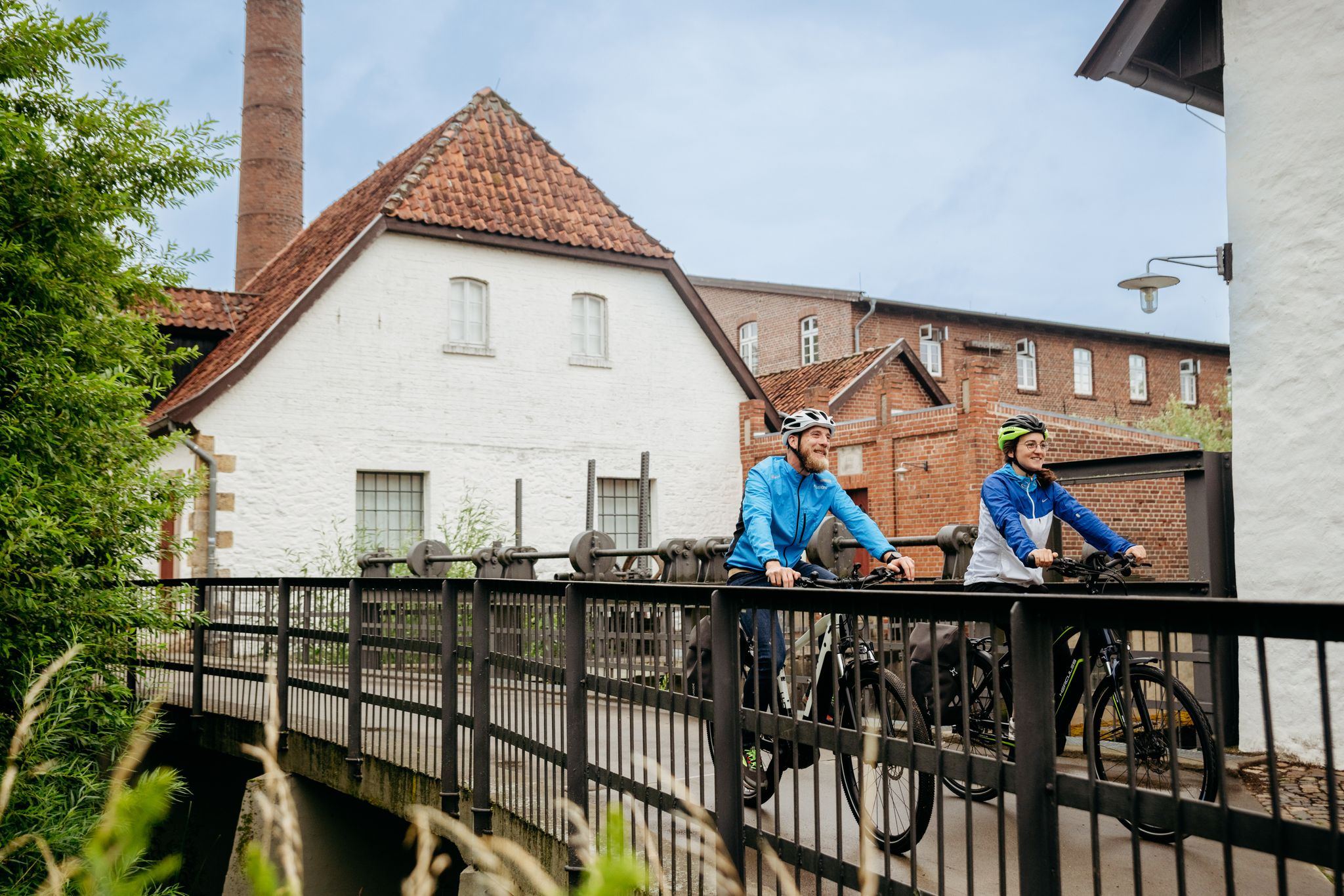
Day rides in Osnabrück region – variety in Germany’s northwest
Pilgrimage on 'm platten Land – 8 days on Germany’s Pickerweg
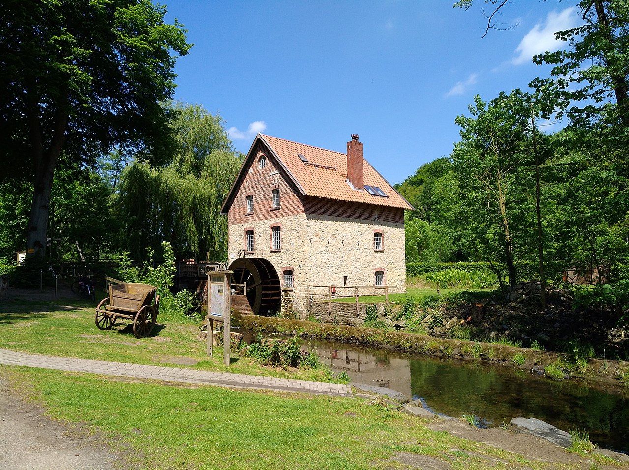
Hiking the Mill Way through the Wiehen Hills near Osnabrück
Follow in Saxon leader Widukind's footsteps – 6 days on the Wittekind Trail
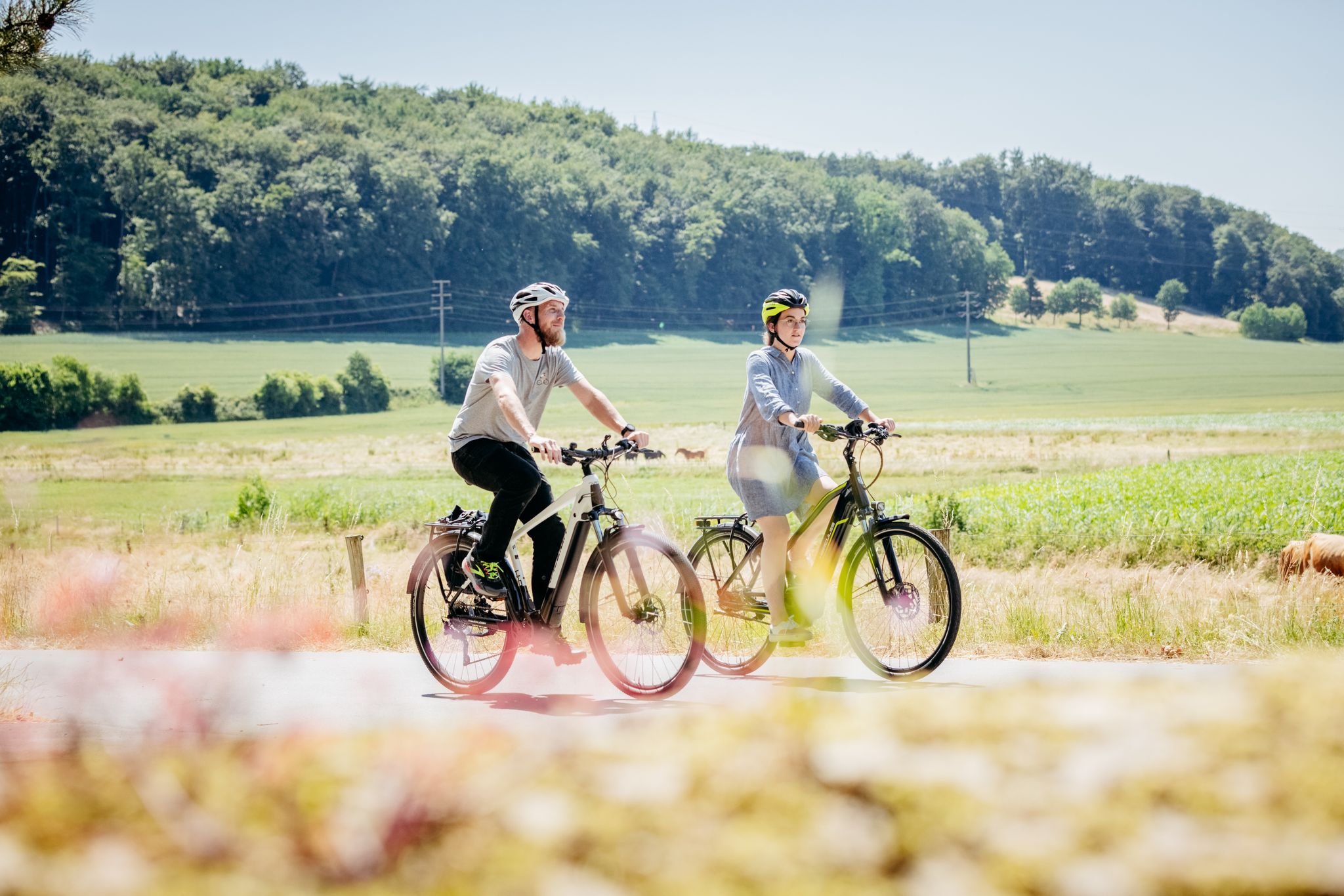
11 loops in Osnabrück Land in Germany – a cyclist’s paradise
DiVa Walk – Zwischen Sauriern und Römern
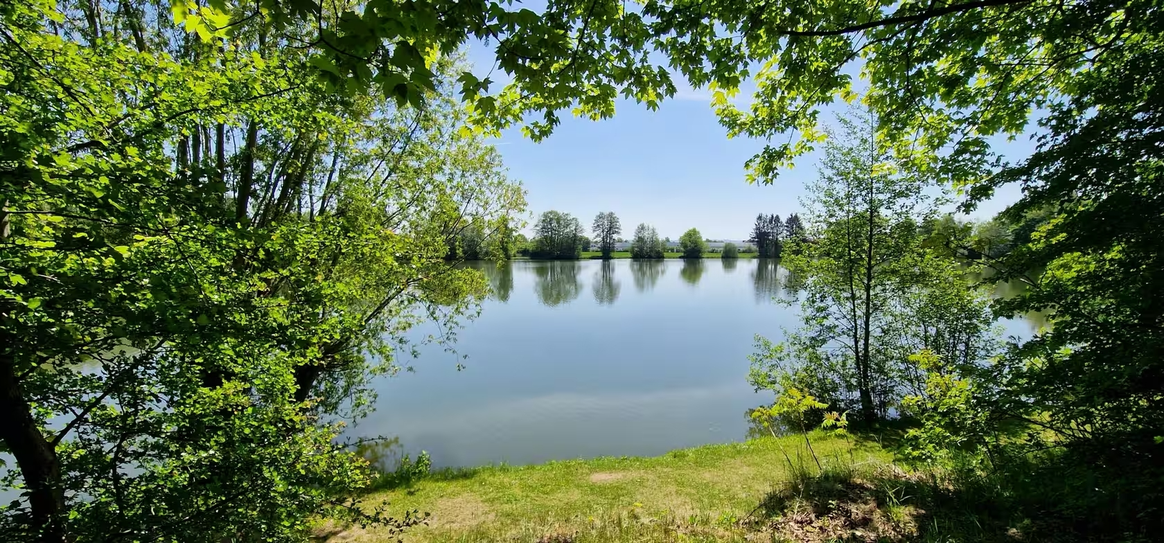
Abkühlung inklusive – Erfrischende Radtouren rund um Osnabrück
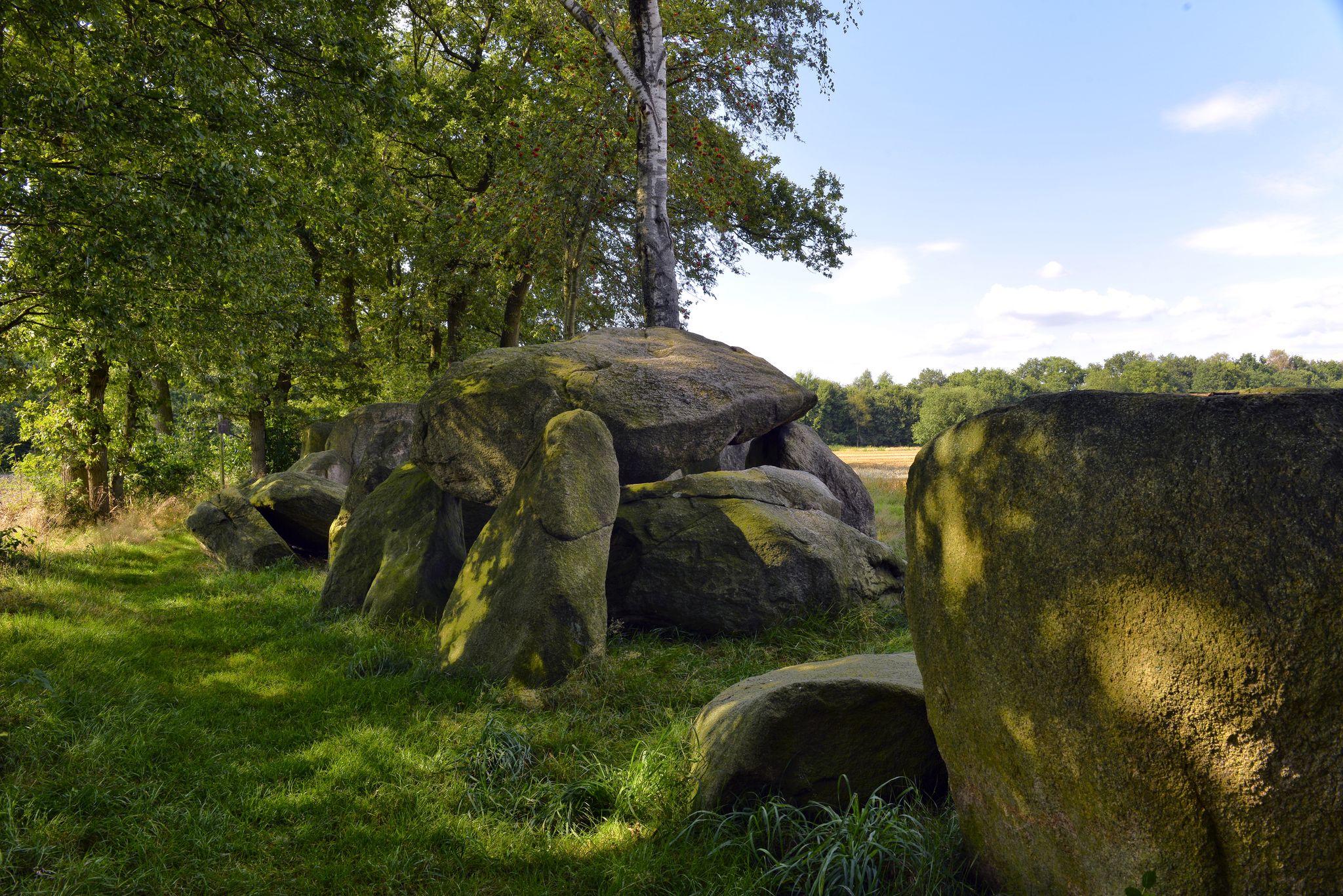
Wanderabenteuer Hünenweg – Ihre Etappenübersicht - Hasetal Touristik
Hase-Ems-Tour - mal anders
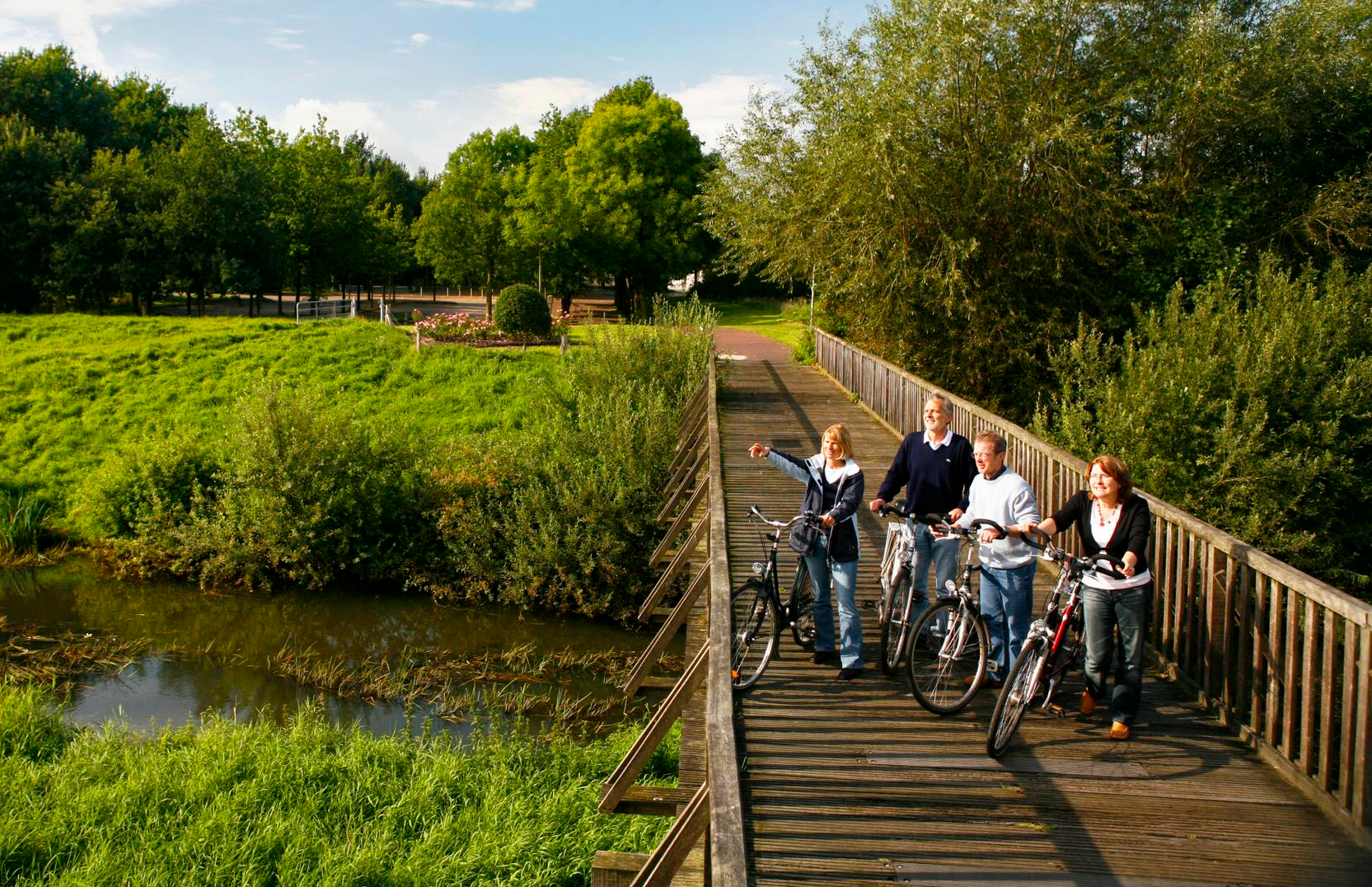
Traffic-free bike rides around Bramsche
Other adventures around Bramsche


Tips from the Community

Nice quiet but easily rideable road. On one side the golf course, on the other side wide views and the large wind turbine.
0
0

The Mittelland Canal (MLK) is a federal waterway[2] and, at 325.3 kilometers, the longest artificial waterway in Germany. Including side and connecting canals, the length is 392 km. It connects the Dortmund-Ems Canal with the Weser, the Elbe, and the Elbe-Havel Canal. In a broader sense, it is part of a connection between the Rhine and the Oder. In the west, the connection to the Rhine is established via the Dortmund-Ems Canal and the Rhine-Herne Canal or the Wesel-Datteln Canal. In the east, the Elbe-Havel Canal, the Untere Havel-Wasserstraße, and the Havel-Oder-Wasserstraße connect the Mittelland Canal with the Oder. In a European dimension, it enables a connection between the Netherlands, Belgium, Luxembourg, France, and Switzerland on the one hand, and Poland and the Czech Republic on the other. The canal is also known by the names Ems-Weser-Kanal, Weser-Ems-Kanal, Weser-Elbe-Kanal, Rhein-Elbe-Kanal, Elbe-Weser-Ems-Kanal, or Ems-Weser-Elbe-Kanal. These are old or regional designations that are now rarely used.
0
0

Nice descent on good asphalt. Rolls wonderfully.
0
0

Really blatant peat extraction on site
0
0

A cycle path directly along the watercourse
0
0


A small shelter or birdwatching hut offers a good sheltered spot for a break. There are information boards, and the view extends over the water.
0
0

The Church of St. Viktor has been the parish church of Damme since the Middle Ages and was replaced in 1904-1906 by a large-scale and sophisticated Neo-Gothic new building; only the mighty 13th-century tower remained. The church is of historical significance for the town and, due to its testimonial and visual value for architectural history, as an exemplary Catholic parish church of late historicism and as the work of the important Bremen architect Heinrich Flügel (1849-1930). Furthermore, the church has urban planning significance due to its size, design, and location in the town center, and is therefore also popularly known as the "Dammer Dom" (Damme Cathedral). For all these reasons, the preservation of St. Viktor is in the public interest, and I expressly support it. https://denkmalatlas.niedersachsen.de/viewer/metadata/35742971/3/-/
2
0
Frequently Asked Questions
How many no-traffic road cycling routes are available around Bramsche?
There are over 80 dedicated no-traffic road cycling routes around Bramsche listed on komoot. These routes cater to various skill levels, ensuring a suitable option whether you're looking for a relaxed ride or a more challenging journey.
What kind of terrain can I expect on no-traffic road cycling routes in Bramsche?
Bramsche offers a diverse cycling landscape. You'll find routes ranging from relatively flat sections along the River Hase and Osnabrück Branch Canal, perfect for leisurely rides, to gently rolling hills in the foothills of the Wiehengebirge and Teutoburg Forest. Areas like the Ankumer Heights provide slightly more demanding terrain for those seeking elevation changes.
Are there any easy, traffic-free road cycling routes suitable for beginners in Bramsche?
Yes, Bramsche has nearly 20 easy, traffic-free road cycling routes perfect for beginners or those looking for a relaxed ride. These routes typically feature minimal elevation gain and smooth paths, often following waterways or through tranquil forests.
For experienced road cyclists, are there more challenging no-traffic routes with significant climbs?
Absolutely. Experienced road cyclists can find routes with notable elevation gains, particularly in the Wiehen Hills and parts of the Teutoburg Forest. For example, the Venner Egge Climb – Schelenburg Castle loop from Bramsche covers over 83 km with more than 600 meters of elevation gain, offering a good challenge.
What natural and historical landmarks can I see along the no-traffic road cycling routes in Bramsche?
Many routes pass by significant natural and historical sites. You might encounter historic places like Malgarten Monastery or Schelenburg Castle. Natural highlights include the picturesque landscapes of the Teutoburg Forest and the Wiehen Hills. For specific natural monuments, consider visiting the Johannissteine Rock Formation or the Westerberg Park and Stone Monoliths.
Are there any circular no-traffic road cycling routes around Bramsche?
Yes, many of the no-traffic road cycling routes in Bramsche are designed as loops, allowing you to start and end at the same point. Examples include the Venne Observation Tower – Venner Egge Climb loop from Bramsche or the Alt Barenaue Moated Castle loop from Achmer, providing convenient round trips.
What do other road cyclists enjoy most about the no-traffic routes in Bramsche?
The no-traffic road cycling routes around Bramsche are highly rated by the komoot community, with an average score of 4.5 stars. Cyclists often praise the region's diverse landscapes, from quiet forests to rolling hills, and the well-maintained paths that ensure a smooth and enjoyable ride away from vehicle traffic.
Are there any family-friendly no-traffic road cycling routes in Bramsche?
While specific 'family-friendly' designations aren't always explicit, many of the easy and moderate no-traffic routes along the River Hase or the Osnabrück Branch Canal are suitable for families. These routes typically have flat sections and scenic views, making them enjoyable for all ages. Always check the route's difficulty and length to ensure it matches your family's capabilities.
What is the best time of year to go road cycling in Bramsche?
The spring, summer, and early autumn months (roughly April to October) are generally the best time for road cycling in Bramsche. During these periods, the weather is typically mild, and the natural landscapes are at their most vibrant. The well-developed cycling infrastructure means many routes are accessible year-round, but always check local weather conditions, especially in winter.
Are there options for parking or public transport access near the no-traffic road cycling routes?
Bramsche is well-connected, and many routes have starting points accessible by car with available parking, or via public transport. For specific routes, it's advisable to check the route details on komoot for information on nearby parking facilities or public transport stops to plan your access conveniently.
Can I find cafes or places to rest along the no-traffic road cycling routes?
Yes, many routes in the Bramsche region pass through or near villages and towns where you can find cafes, restaurants, or guesthouses. Historic sites like Malgarten Monastery often have facilities nearby. It's a good idea to check the route map on komoot beforehand to identify potential rest stops and refreshment points along your chosen path.
Most popular routes around Bramsche
Most popular attractions around Bramsche

Get inspired with the komoot mobile app


Explore more
Browse the best Road cycling routes in other regions.
