The best hikes from bus stations around Bad Essen
4.4
(2206)
7,750
hikers
189
hikes
Bus station hiking trails around Bad Essen offer diverse landscapes, from the rolling hills of the Wiehengebirge Range to flatter northern plains. The region is situated within the Northern Teutoburg Forest-Wiehengebirge Nature Park, characterized by dense forests and the Hunte River. Elevations in the southern part reach up to 692 feet (211 meters), providing varied terrain for hikers. This area provides a mix of natural features and historical sites accessible via public transport.
Best bus station hiking trails around Bad…
Last updated: October 13, 2026
4.7
(119)
292
hikers
6.00km
01:41
110m
110m
Easy hike. Great for any fitness level. Easily-accessible paths. Suitable for all skill levels.
4.7
(95)
284
hikers
9.41km
02:23
20m
20m
Moderate hike. Good fitness required. Easily-accessible paths. Suitable for all skill levels.

4.7
(36)
142
hikers
10.8km
02:59
180m
180m
Moderate hike. Good fitness required. Easily-accessible paths. Suitable for all skill levels.
4.7
(44)
130
hikers
7.94km
02:20
230m
230m
Moderate hike. Good fitness required. Easily-accessible paths. Suitable for all skill levels.
4.7
(36)
110
hikers
14.2km
03:58
270m
270m
Moderate hike. Good fitness required. Easily-accessible paths. Suitable for all skill levels.
Get access to more routes and recommendations from other explorers.
Already have an account?
Our route recommendations are based on thousands of hikes, rides, and runs completed by other people on komoot.
Start today with a free account
Your next adventure awaits.
Popular around Bad Essen
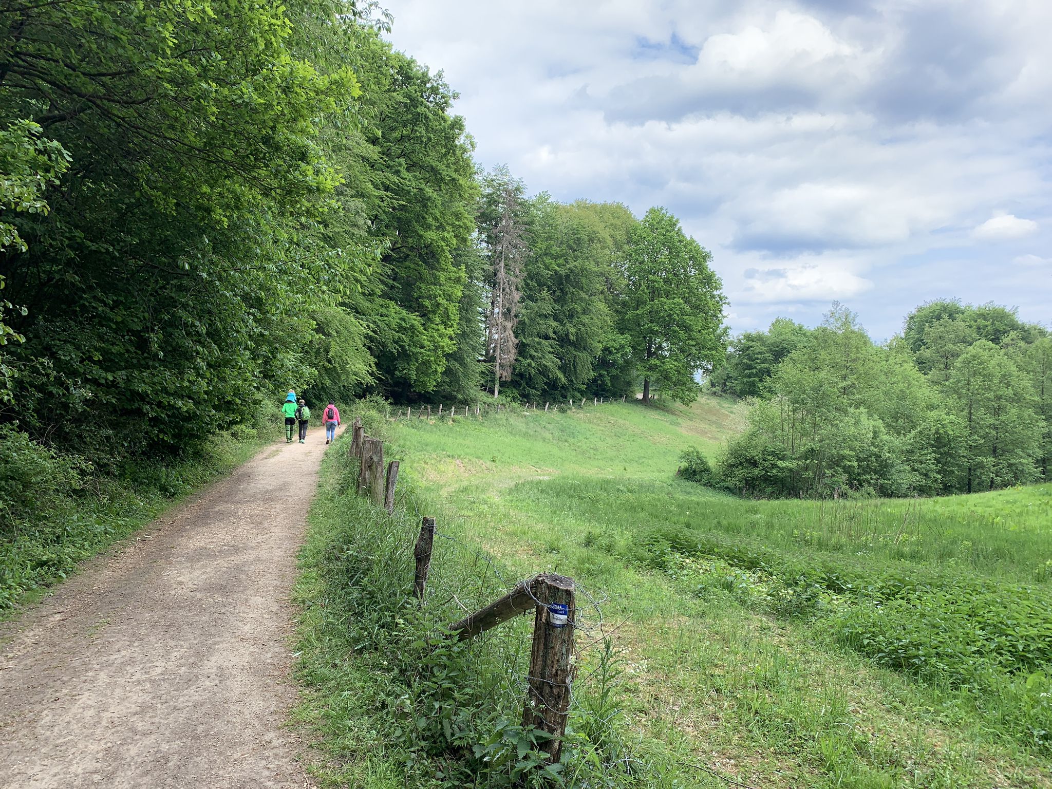
In the wild, old country – wonderful Tours around Germany’s Osnabrück
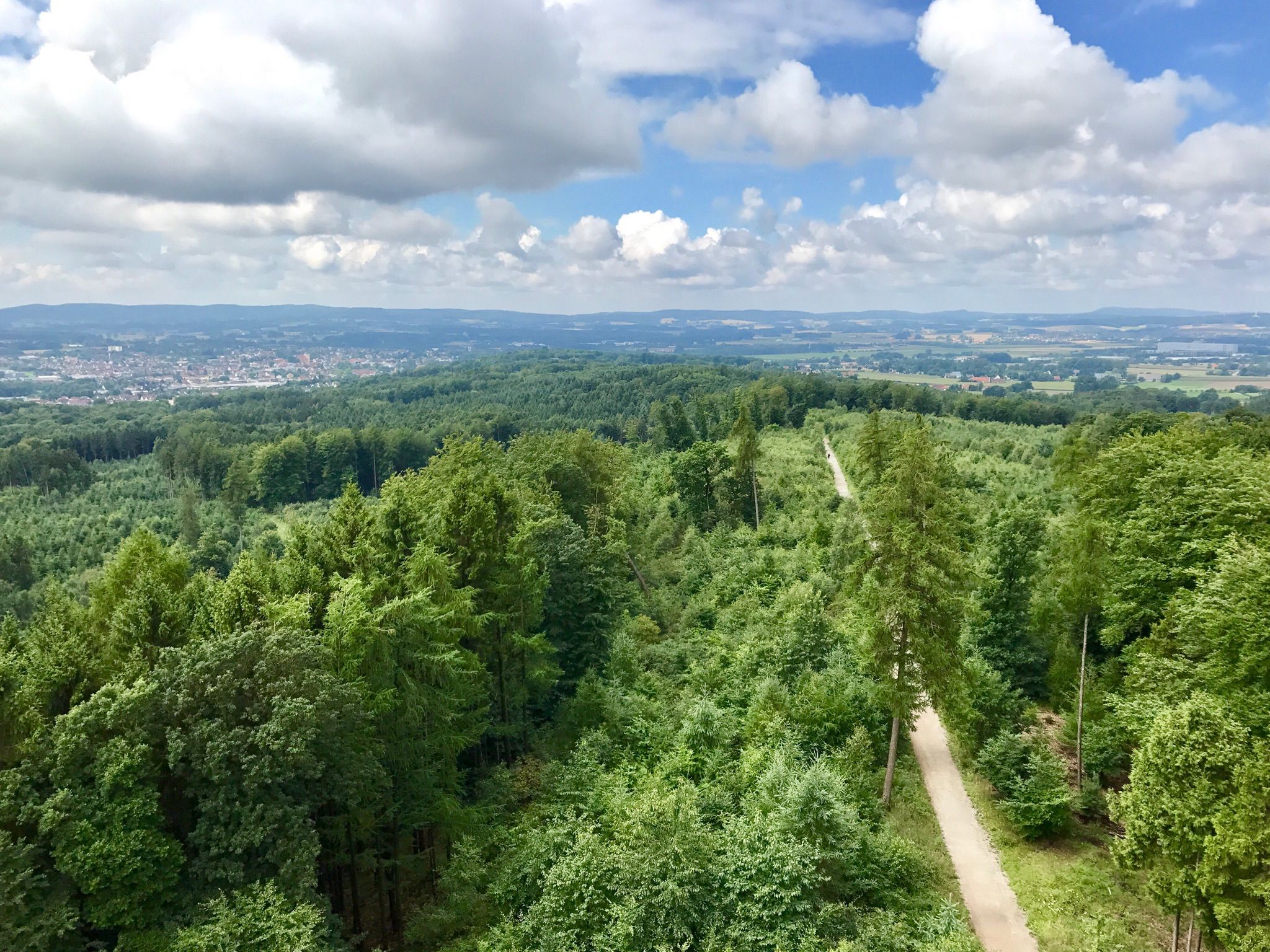
Peace and nature on Germany’s Ems-Hase-Hunte-Else Trail

Follow in Saxon leader Widukind's footsteps – 6 days on the Wittekind Trail
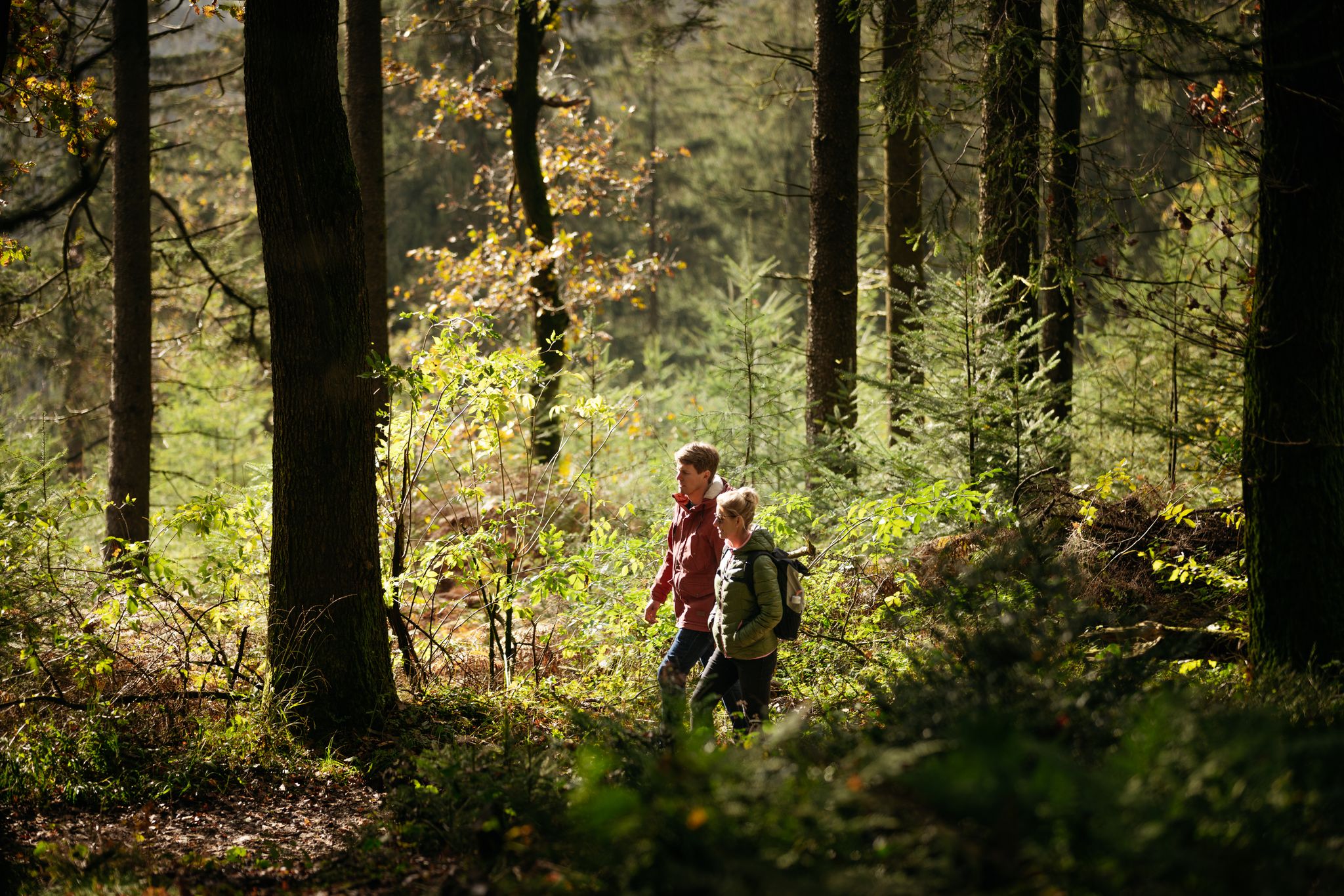
Natural, rural and diverse – hiking in the Osnabrück Land
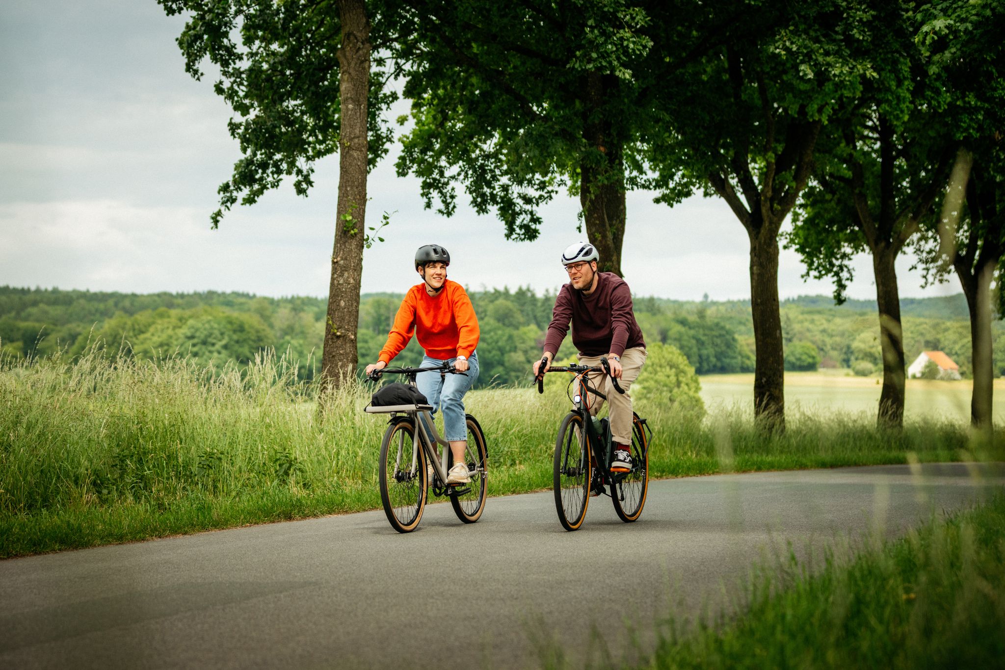
Day trips in the Osnabrück region – Exciting southeast
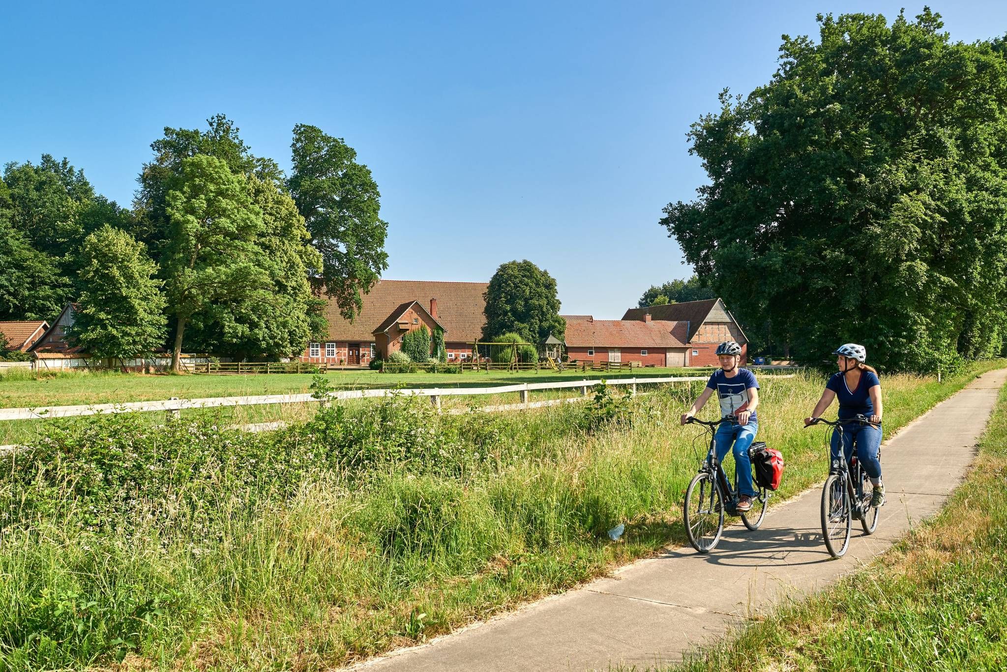
Castles, mills & timber-framed houses – Osnabrück Land
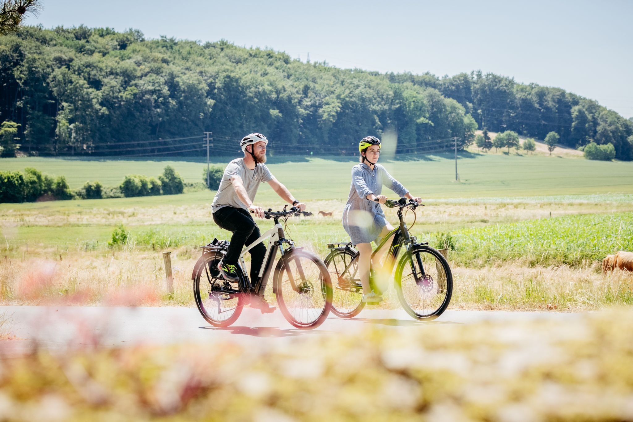
11 loops in Osnabrück Land in Germany – a cyclist’s paradise
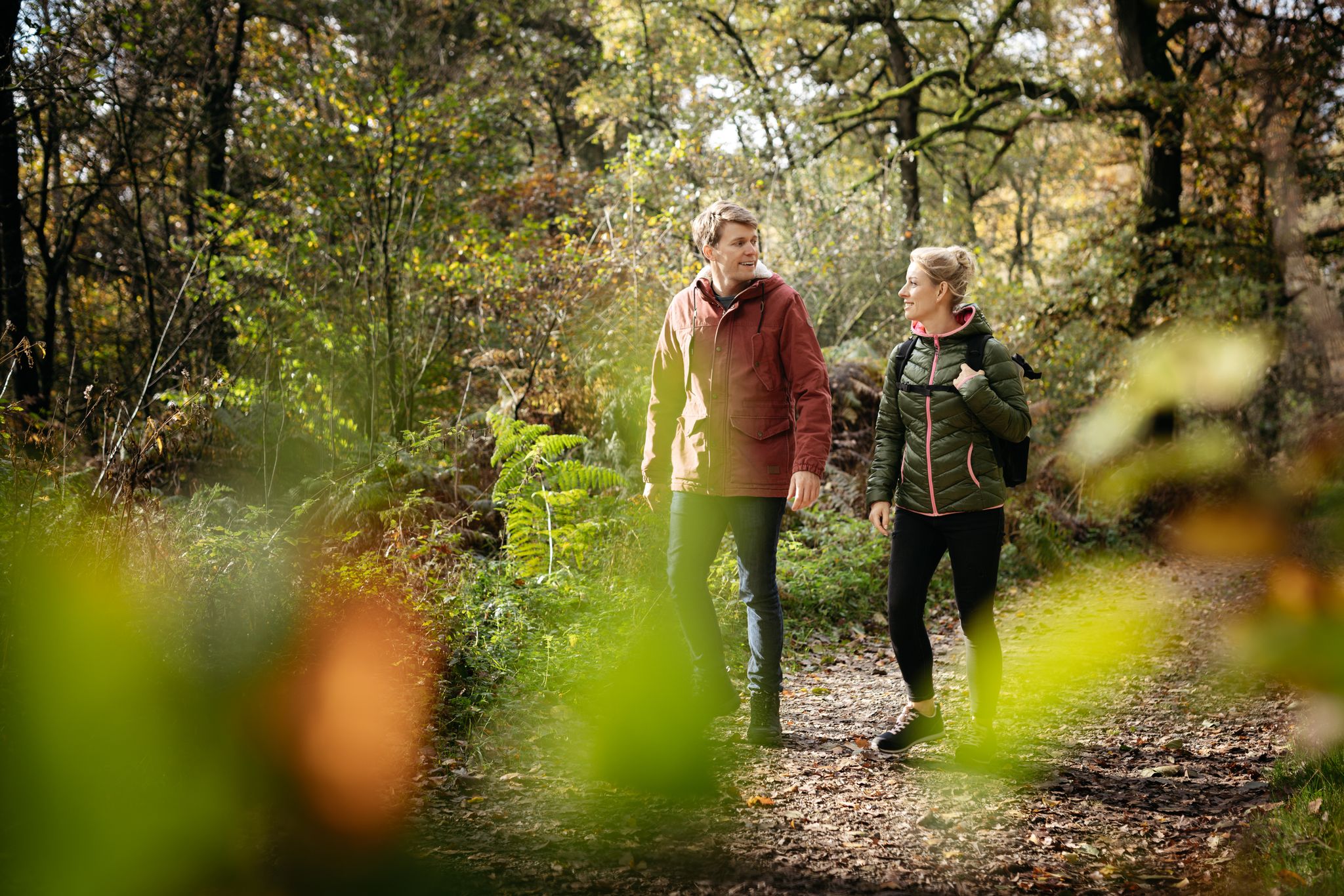
DiVa Walk – Zwischen Sauriern und Römern
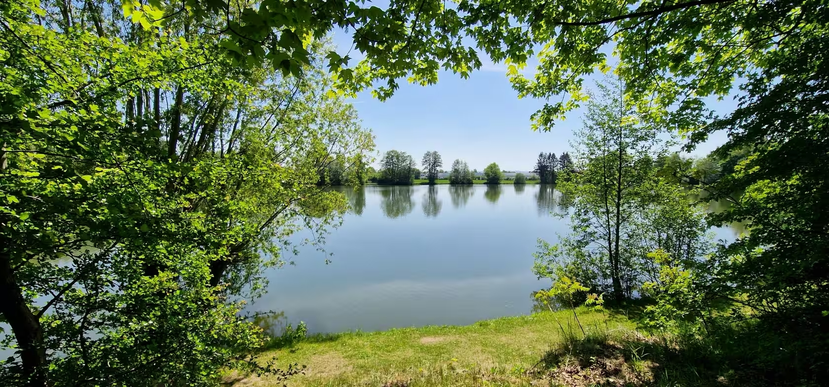
Abkühlung inklusive – Erfrischende Radtouren rund um Osnabrück
Other adventures around Bad Essen


Tips from the Community

A beautiful grassy path on the edge of the forest with a not-too-spectacular view, but still nice!
0
0

A very narrow overgrown path🥱
0
0
It's always nice when you stand on the bridge and the ships sail right under your feet.
0
0
The Mittellandkanal is a heavily used waterway that runs from west to east, making the entire route from the North Sea to Berlin navigable. Therefore, there are always many cargo ships, but also pleasure boats, on the move here, which in turn come from the Rhineland, the Netherlands, or Brandenburg.
0
0
You can take a break here with a nice view of Bad Essen or Wittlage. The Stemweder Berg can be seen in the background.
0
0
A beautiful resting place with a particularly beautiful view of the North German Plain and along the Wiehengebirge towards the east.
0
0

Cycle right through the forest and enjoy the wonderful forest air.
0
0
Frequently Asked Questions
How many bus station hiking trails are available in Bad Essen?
Bad Essen offers a wide selection of hiking trails accessible from bus stations, with over 180 routes to explore. These range from easy strolls to more challenging hikes through the diverse landscapes of the Northern Teutoburg Forest-Wiehengebirge Nature Park.
Are there easy or beginner-friendly hikes accessible from Bad Essen's bus stations?
Yes, Bad Essen is well-suited for beginners and those seeking easier routes. Over 100 of the available bus station hikes are rated as easy. A good option is the View from Argelith Hut – Bad Essen Observation Tower loop from Bad Essen, which is just over 6 km long and features gentle elevation changes, perfect for a relaxed outing.
What kind of terrain can I expect on bus station hikes around Bad Essen?
The terrain around Bad Essen is quite varied. You'll find a mix of rolling hills and dense forests, especially in the southern parts towards the Wiehengebirge Range. The northern areas tend to be flatter, with paths along rivers like the Hunte. Many trails offer well-maintained forest paths and gentle ups and downs, providing a serene environment for nature lovers.
Are there any circular routes starting from bus stations in Bad Essen?
Yes, many of the hikes accessible from bus stations in Bad Essen are circular, allowing you to return to your starting point without retracing your steps. For example, the Ippenburg Castle – Hünnefeld Castle loop from Bad Essen is a moderate circular route that takes you past historic sites.
What interesting landmarks or natural features can I see on these hikes?
Bad Essen's bus station hikes offer access to several notable features. You can discover the unique geological site of Green Lake, or visit the historic Goethe Hut. The region is also known for the Wiehengebirge Range, offering panoramic views, and the fascinating Dinosaur Tracks. Some routes also pass by the Fliegerquellen natural monument.
Are there family-friendly bus station hikes in Bad Essen?
Absolutely! Bad Essen offers several family-friendly options. The region's diverse landscapes and attractions, such as the Fairytale Forest Trail (Märchenwaldweg) mentioned in regional research, make it great for families. While not directly linked to a bus station route here, many easy trails are suitable for all ages. Look for routes with shorter distances and minimal elevation gain, similar to the View from Argelith Hut – Bad Essen Observation Tower loop.
Can I bring my dog on the bus station hiking trails in Bad Essen?
Yes, many trails in Bad Essen are dog-friendly, allowing you to enjoy the natural beauty with your canine companion. The quiet woodlands and well-maintained paths are generally suitable for dogs. Always ensure your dog is on a leash where required and respect local wildlife. The Bad Essen Observation Tower – Essener Ringweg Forest Path loop is a longer, moderate option that provides plenty of space for a good walk.
What do other hikers enjoy most about hiking in Bad Essen?
The hiking experience in Bad Essen is highly rated by the komoot community, with an average score of 4.44 out of 5 stars from over 2000 ratings. Hikers often praise the region's diverse landscapes, the tranquility of the forests, and the well-marked trails that cater to various fitness levels. The accessibility of trails from public transport is also a frequently appreciated aspect.
Are there any viewpoints or observation towers accessible from bus station hikes?
Yes, the region boasts several spots with great views. The Ottoshöhe Observation Tower offers expansive views, and you can incorporate it into your hike. The View from Argelith Hut – Bad Essen Observation Tower loop from Bad Essen is an easy route that includes this feature. Another route, the Goethe Hut – Harzerhütte Viewpoint loop from Bad Essen, also leads to scenic overlooks.
What is the best time of year to go hiking from Bad Essen's bus stations?
Bad Essen offers pleasant hiking experiences throughout much of the year. Spring brings blooming nature, while autumn showcases vibrant foliage in the forests. Summer is ideal for longer days and warmer weather, though some trails offer good shade. Even in winter, with appropriate gear, the serene landscapes can be beautiful. Always check local weather conditions before heading out.
Are there any longer, more challenging bus station hikes available?
For those seeking a more challenging experience, Bad Essen has moderate to difficult routes. The Bad Essen Observation Tower – Essener Ringweg Forest Path loop from Bad Essen is a moderate 14 km hike with significant elevation gain, offering a good workout and extensive views. The Wiehengebirge Range itself provides sections of long-distance trails like the Wittekindsweg for experienced hikers.
Most popular routes around Bad Essen
Most popular attractions around Bad Essen

Get inspired with the komoot mobile app


Explore more
Browse the best Hikes in other regions.
