The best traffic-free bike rides around Braunlage
4.5
(1455)
11,326
riders
155
rides
No traffic touring cycling routes around Braunlage traverse the diverse landscapes of the Upper Harz Mountains, primarily within the Harz National Park. The region features elevations ranging from 600 to 971 meters above sea level, characterized by deep valleys, rocky scenery, open fields, and mountain lakes. Prominent natural landmarks include the Brocken, the highest mountain in the Harz, and the Wurmberg. Cyclists can expect varied terrain across these natural features.
Best no traffic touring cycling routes around Braunlage
- The most…
Last updated: July 10, 2026
4.8
(67)
351
riders
32.3km
02:46
690m
690m
Hard bike ride. Very good fitness required. Mostly paved surfaces. Suitable for all skill levels.
4.6
(143)
639
riders
31.4km
02:27
780m
790m
Hard bike ride. Very good fitness required. Mostly paved surfaces. Suitable for all skill levels.

Sign up for free
4.5
(12)
273
riders
52.6km
04:16
1,230m
1,230m
Hard bike ride. Very good fitness required. Mostly paved surfaces. Suitable for all skill levels.
4.3
(33)
152
riders
Moderate bike ride. Good fitness required. Mostly paved surfaces. Suitable for all skill levels.
4.7
(18)
161
riders
31.7km
02:34
660m
660m
Hard bike ride. Very good fitness required. You may need to push your bike for some segments of this route.
Get access to more routes and recommendations from other explorers.
Sign up for free
Already have an account?
Our route recommendations are based on thousands of hikes, rides, and runs completed by other people on komoot.
Start today with a free account
Your next adventure awaits.
Login or Signup
Popular around Braunlage
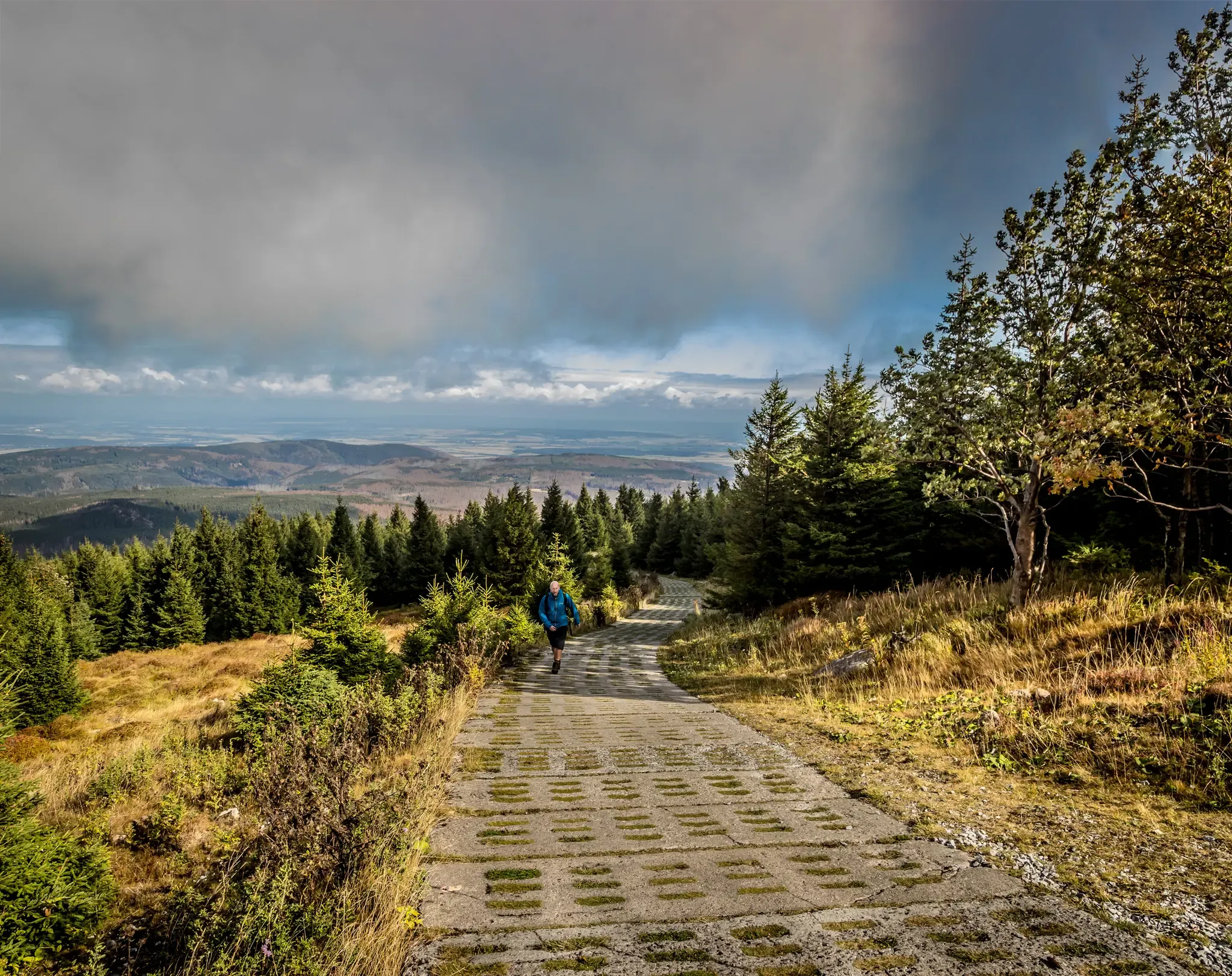
Reunited mountains – hiking along the Harz Border Trail
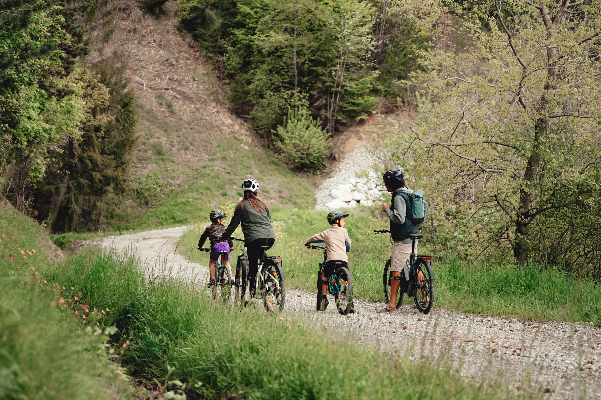
Family-friendly Mountainbiketouren in Nationalpark Harz

Mountainbike Routes in Nationalpark Harz
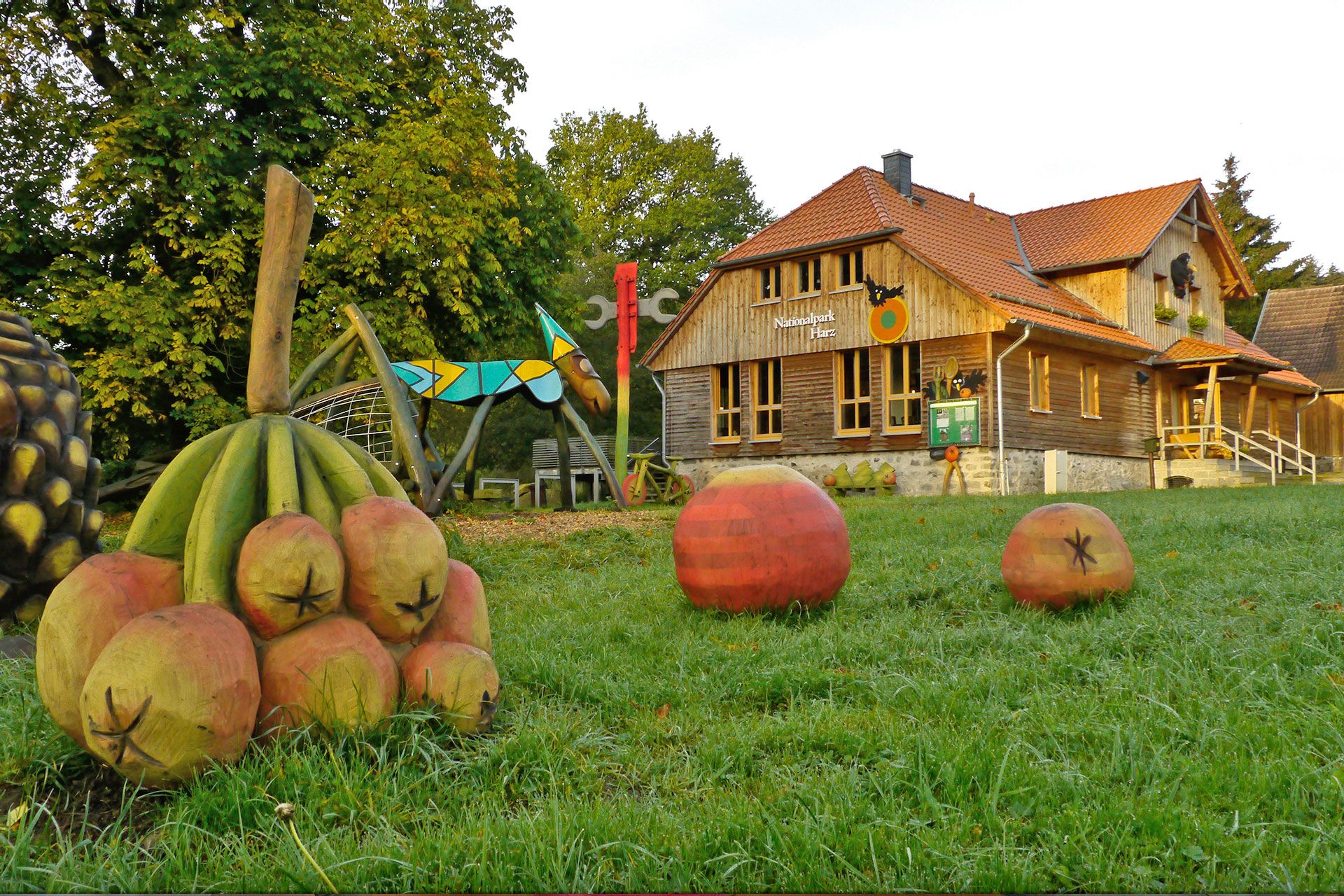
National park facilities in Harz National Park
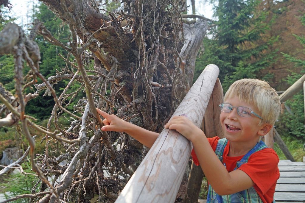
Nature experience trails in Harz National Park
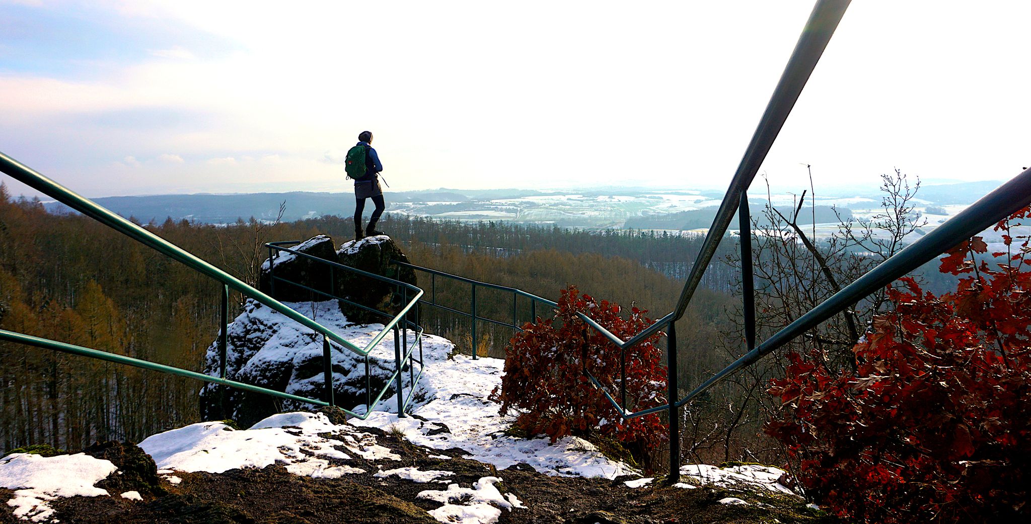
My 25 most beautiful Highlights in the Harz
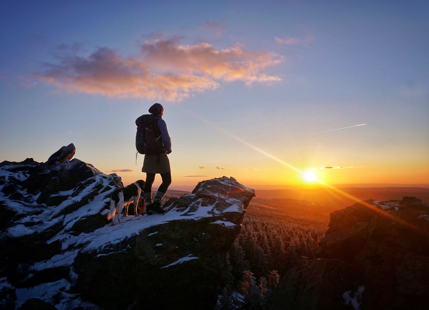
Explore beautiful winter hikes in Germany’s Harz Mountains

Lowest to Highest (L2H) in Germany
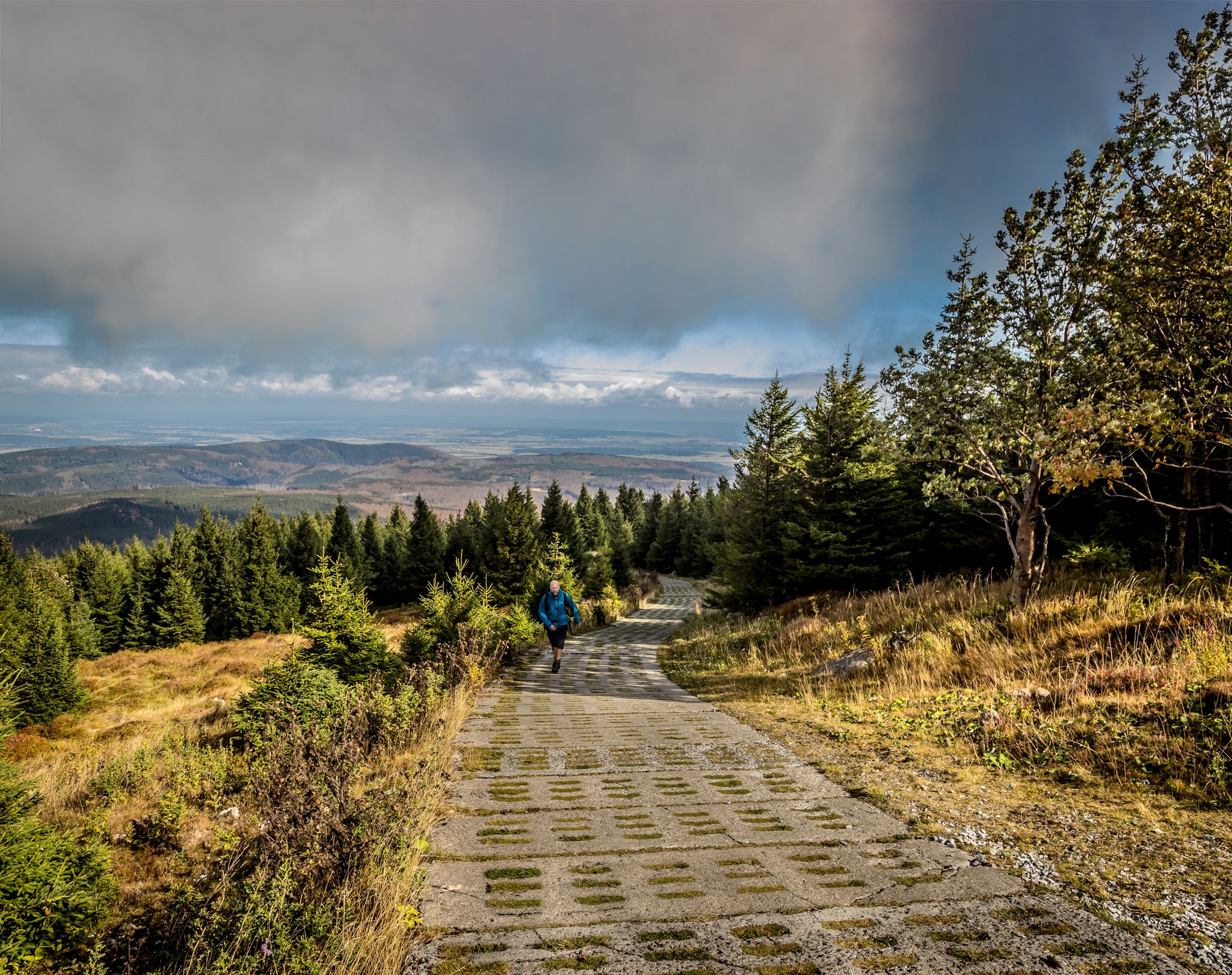
Reunited mountains – hiking along the Harz Border Trail
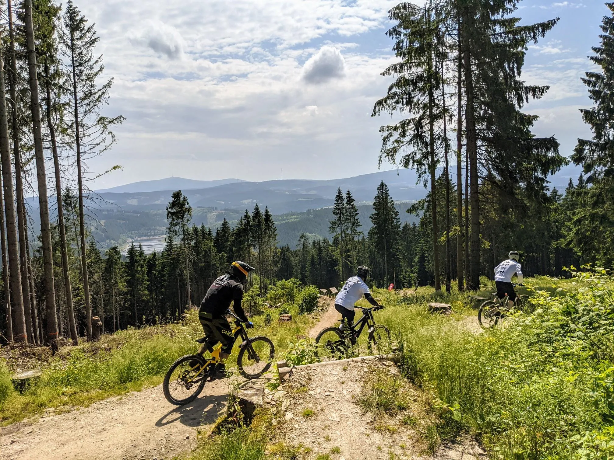
Finest trails, pure nature — the best of the Harz Mountains
Other adventures around Braunlage


Tips from the Community

The journey is the destination - not always easy terrain, but very beautiful in dry weather
1
0

A nice rest area with plenty of seating and an overview map.
8
0

The hut looks more like a bus shelter (the route of the South Harz Railway also ran here), but the view of the Wurmberg and Brocken is really good
1
0


According to the information board, the ditch is almost 8km long, then plunges into the mines and eventually flows into the Sieber River. Incredible!
0
1

The Warme Bode is a barrage-free river in the High Harz region. It forms north of Braunlage from the confluence of the Großer and Kleiner Bode. The approximately five-kilometer-long Große Bode rises in the Bodebruch in the national park area east of Oderbrück, about one kilometer from the source of the Kalter Bode at an elevation of approximately 840 meters above sea level. The Kleine Bode, which rises at the foot of the Achtermannshöhe at an elevation of approximately 770 meters, is only about half as long. About one kilometer below the Bärenbrücke (Bär Bridge), the waters of the Große Bode overcome the Oberer Bode Waterfall. Shortly thereafter, it joins the Kleine Bode to form the Warme Bode. A few hundred meters further downstream, the waters of the Warme Bode plunge down the Unterer Bode Waterfall. After a short distance, the Warme Bode reaches Braunlage. There, its important tributary, the Ulrichswasser, flows in from the west. It then turns eastward, still within the city limits of Braunlage. The Warme Bode now meanders through the river valley it created. Approximately two kilometers beyond Braunlage, the Bremke, which rises on the Wurmberg, flows into the Warme Bode, and after about another three kilometers, the Brunnenbach joins it. The Warme Bode then flows north past Sorge and, after another two kilometers, through the town of Tanne. There, the river turns northeast and flows through its relatively expansive valley toward Königshütte. This wide and very picturesque river valley offers ample space for countless other sweeping meanders. Beyond Tanne, the Allerbach flows into the Warme Bode, and just over a kilometer before Königshütte, the water-rich Spielbach joins it. In Königshütte, at the foot of the mountain with the ruins of the Königsburg castle, it joins the Kalte Bode, which flows from the north and is two degrees cooler, to form the Bode. From the source area of the Große Bode in the Bodebruch to its confluence with the Kalte Bode, the water travels a distance of approximately 23 kilometers, climbing about 400 meters in altitude. In addition to the larger tributaries mentioned above, countless other small rivers and, in some cases, unnamed streams flow into the Warme Bode along this route.
2
0
Course of the Warme Bode: After the confluence of its source streams, the Warme Bode flows into Braunlage via the Lower Bodefall. At the northern edge of the town, the Ulrichswasser flows into it from the northwest, followed further by the Schultalwasser. Southeast of Braunlage, the "White Bridges" are reached. In the widening river valley, the Bremke flows into the Warme Bode from the north at the former Fuchsfarm. The Bremke determines the direction of the river. From here on, the course of the Warme Bode forms the border between Lower Saxony and Saxony-Anhalt (former inner-German border). Where the Warme Bode leaves Lower Saxony, the Brunnenbach flows into the Warme Bode from the west, also determining its course at this point. The Bode now flows further into Saxony-Anhalt towards Sorge. From the state border with Saxony-Anhalt, it runs parallel to the B242 federal highway through Tanne. The Warme Bode now flows through a lovely valley and then joins the Kalte Bode near Königshütte, below the ruins of Königsburg, to form the Bode.
1
0

Frequently Asked Questions
How many no-traffic touring cycling routes are available around Braunlage?
Braunlage offers a wide selection of no-traffic touring cycling routes, with over 150 options available. These routes traverse the diverse landscapes of the Harz National Park, ensuring a varied experience for every cyclist.
Are there easy no-traffic touring cycling routes suitable for beginners or families in Braunlage?
Yes, Braunlage provides several easy no-traffic touring cycling routes perfect for beginners or families. While many routes involve some elevation gain due to the mountainous terrain, there are 22 routes specifically rated as easy. These typically feature gentler gradients and well-maintained paths, allowing for a relaxed cycling experience away from vehicle traffic.
What kind of landscapes can I expect on these no-traffic touring cycling routes?
The no-traffic touring cycling routes around Braunlage showcase the stunning natural beauty of the Upper Harz Mountains. You'll encounter deep valleys, rocky scenery, open fields, and picturesque mountain lakes. Many routes also offer views of prominent natural landmarks like the Brocken and Wurmberg, providing a truly immersive outdoor experience.
Are there any routes that feature waterfalls or significant natural sights?
Absolutely. One notable route that includes a beautiful natural sight is the Rehberger Graben – Rehberg Waterfall loop from Braunlage. This route allows you to experience the serene Rehberger Graben and the refreshing Rehberg Waterfall, offering a picturesque break during your ride.
Can I find circular no-traffic touring cycling routes in Braunlage?
Yes, many of the no-traffic touring cycling routes around Braunlage are designed as loops, allowing you to start and end your journey in the same location. Examples include the Neuer Goetheweg – Brocken Summit loop from Braunlage and the Wurmberg Summit – View of the Brocken loop from Braunlage, providing convenient options for exploring the region.
What are some interesting historical or cultural points of interest along the routes?
Beyond natural beauty, you can explore historical sites. The Border Monument Forefence near Sorge – Sorge Border Museum loop from Braunlage takes you past significant historical markers related to the former inner-German border. Additionally, the region features several castles and historical sites, such as the Scharzfels Castle Ruins or the Frauenstein Rock and Medieval Cellar Vaults, which can be found near many routes.
What is the best season for no-traffic touring cycling in Braunlage?
The best season for no-traffic touring cycling in Braunlage is generally from spring through autumn. During these months, the weather is most favorable, and the trails are typically clear of snow and ice. The Harz National Park's diverse flora is particularly vibrant in spring and autumn, adding to the scenic beauty of your ride.
Are there any routes that offer panoramic viewpoints?
Many routes in Braunlage lead to stunning viewpoints. The Wurmberg Summit – View of the Brocken loop from Braunlage, for instance, offers fantastic panoramic views, including clear sights of the Brocken, the highest mountain in the Harz. The region's elevation, ranging from 600 to 971 meters, ensures numerous opportunities for breathtaking vistas.
What do other touring cyclists enjoy most about the no-traffic routes in Braunlage?
The no-traffic touring cycling routes in Braunlage are highly rated by the komoot community, with an average score of 4.5 stars. Cyclists frequently praise the quiet, well-maintained paths, the stunning natural scenery of the Harz National Park, and the variety of routes that cater to different fitness levels, all while being free from vehicle traffic.
Are there any long-distance no-traffic touring cycling routes available?
Yes, for those seeking longer rides, Braunlage offers several extensive no-traffic touring cycling routes. An example is the challenging Brocken Summit – Trail to the Eckertal Reservoir loop from Braunlage, which covers over 50 kilometers and features significant elevation changes, providing a rewarding long-distance experience.
Is public transport available to access the trailheads of these routes?
Braunlage is well-connected within the Harz region by public transport, including bus services. These can often be used to reach various starting points for touring cycling routes, especially those that begin or pass through other towns and villages in the area. It's advisable to check local bus schedules for specific trailhead access.
Can I bring my dog on these no-traffic touring cycling routes?
Many of the no-traffic touring cycling routes in the Harz National Park are dog-friendly, provided your dog is kept on a leash. It's always recommended to check specific trail regulations, especially within protected areas, and ensure your dog is comfortable with the distance and terrain. Remember to bring water for your pet.
Most popular routes around Braunlage
Most popular attractions around Braunlage

Get inspired with the komoot mobile app


Explore more
Browse the best Cycling routes in other regions.
