The best hikes from bus stations around Bodenmais
4.5
(14423)
53,068
hikers
153
hikes
Bus station hiking trails around Bodenmais offer access to the diverse landscapes of the Bavarian Forest. The region is characterized by dense mixed forests, wild moorland, and clear streams, with notable features including waterfalls and glacial lakes. Elevations range from the local Silberberg hill to higher peaks like Großer Arber, providing varied terrain for hikers.
Best bus station hiking trails around Bodenmais
- The most popular bus station hiking route is View of Bodenmais – View of Bodenmais loop from Bodenmais…
Last updated: October 13, 2026
4.7
(271)
912
hikers
6.94km
02:11
250m
250m
Moderate hike. Good fitness required. Mostly accessible paths. Sure-footedness required.
4.6
(244)
857
hikers
5.44km
01:43
190m
190m
Moderate hike. Great for any fitness level. Mostly accessible paths. Sure-footedness required.

4.7
(53)
284
hikers
5.15km
01:31
160m
160m
Easy hike. Great for any fitness level. Easily-accessible paths. Suitable for all skill levels.
4.7
(85)
325
hikers
Moderate hike. Good fitness required. Mostly accessible paths. Sure-footedness required.
4.9
(116)
377
hikers
Hard hike. Very good fitness required. Mostly accessible paths. Sure-footedness required.
Get access to more routes and recommendations from other explorers.
Already have an account?
Our route recommendations are based on thousands of hikes, rides, and runs completed by other people on komoot.
Start today with a free account
Your next adventure awaits.
Popular around Bodenmais
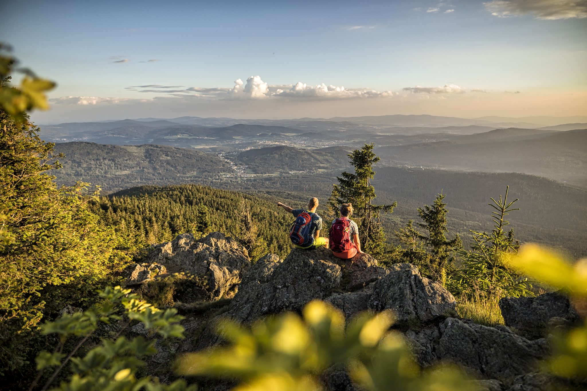
Hiking tips for the Bavarian Forest
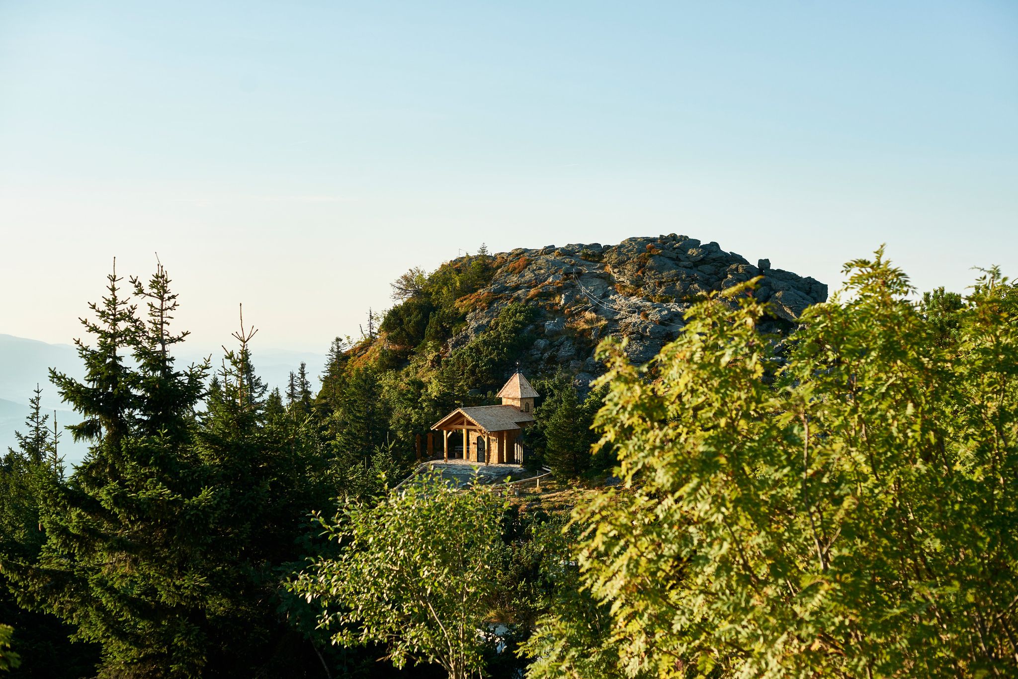
Six wonderful hikes around Bavaria’s Großer Arber
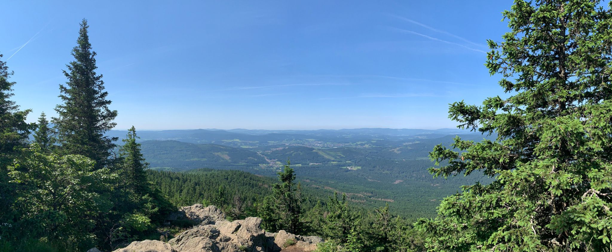
Classic Dahoam in the Bavarian Forest
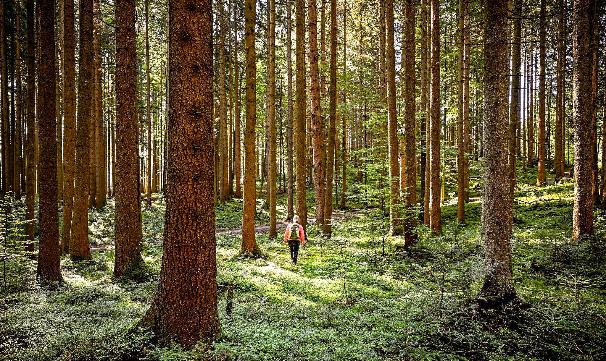
Active relaxation in the forests of Bavaria
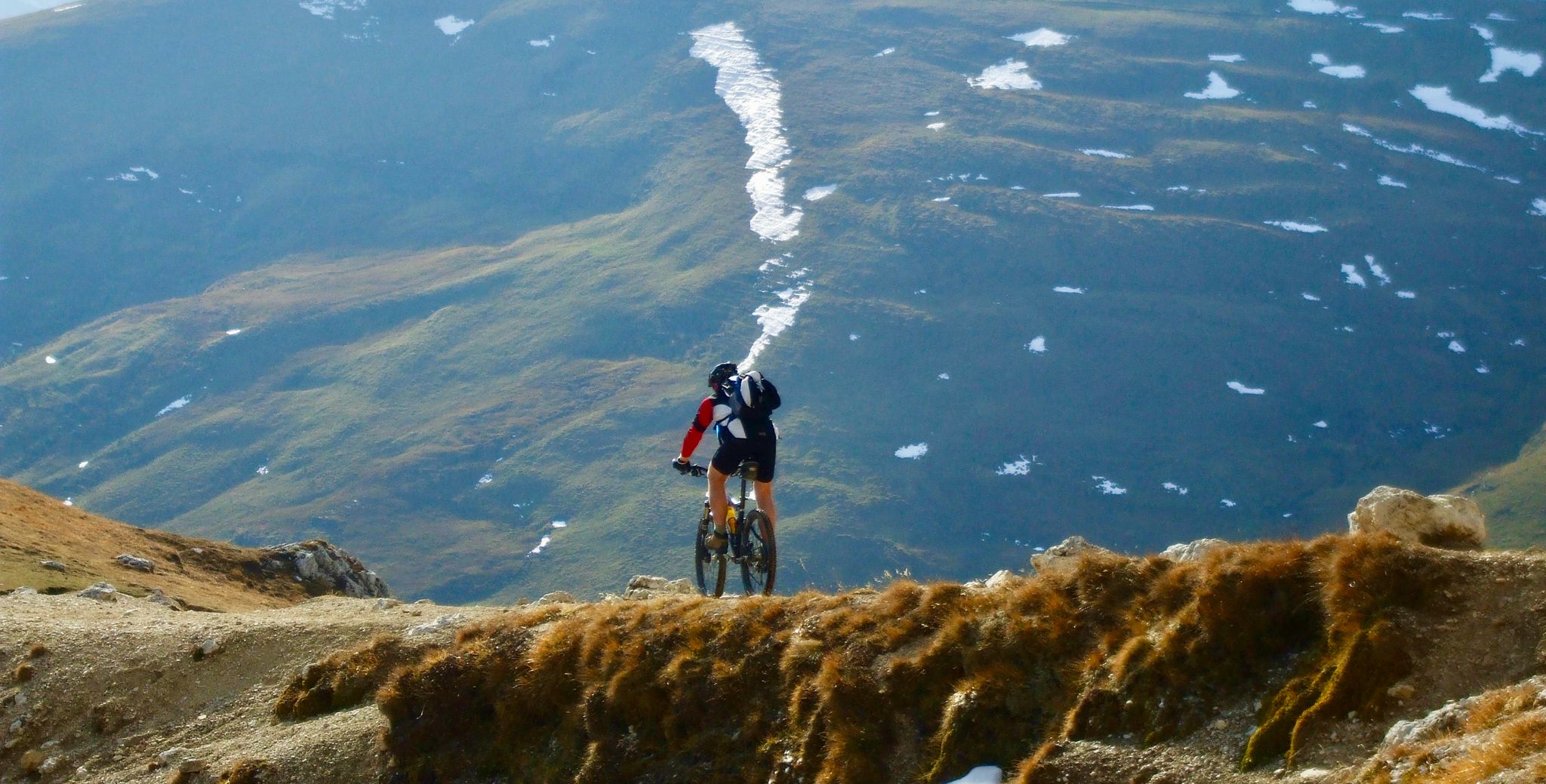
Flow trails in ski areas
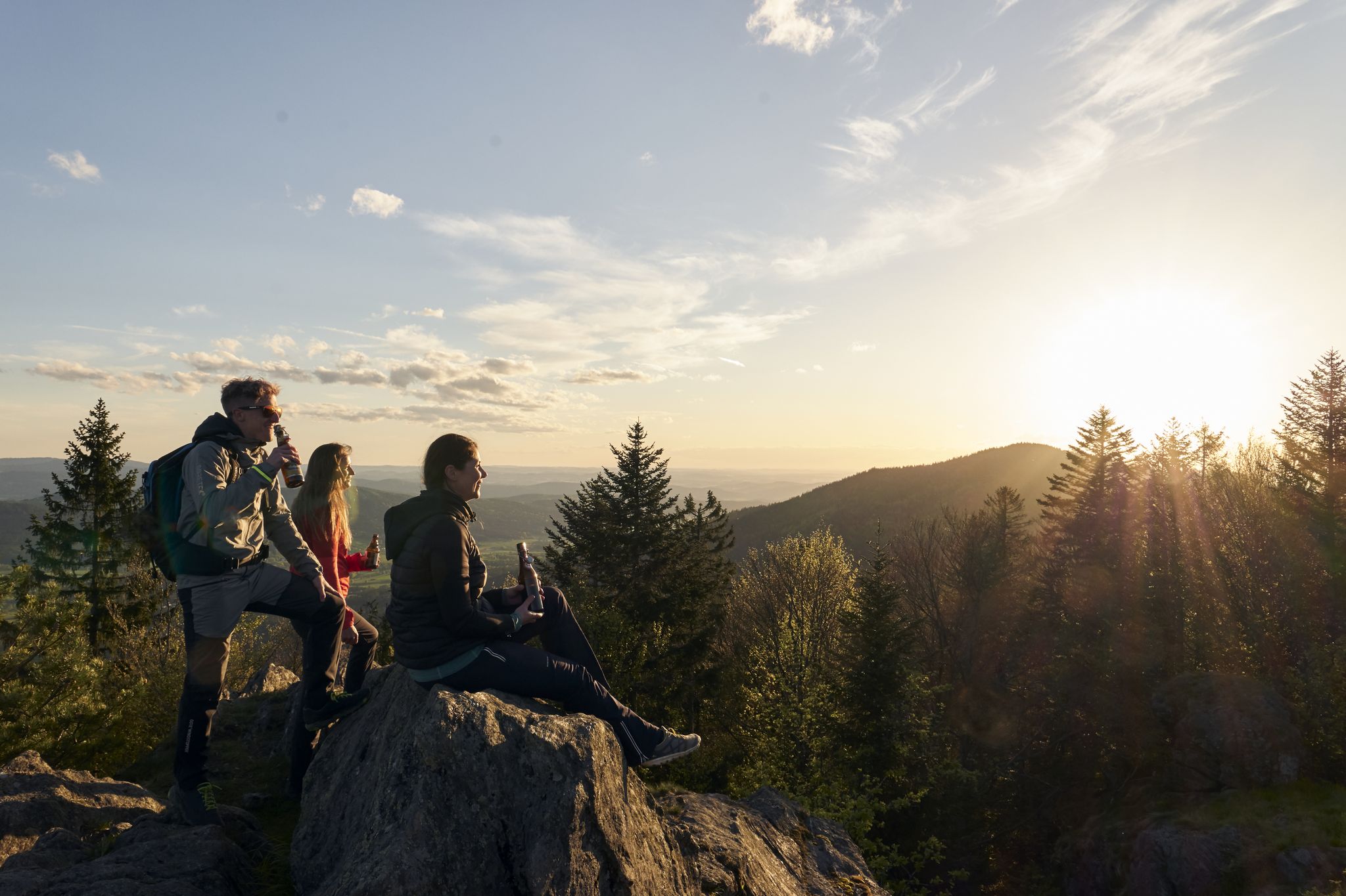
Erster Bierfernwanderweg Deutschlands - unterwegs auf bierigen Pfaden

Bodenmaiser Trailrunning-Paradies - TOP 7!
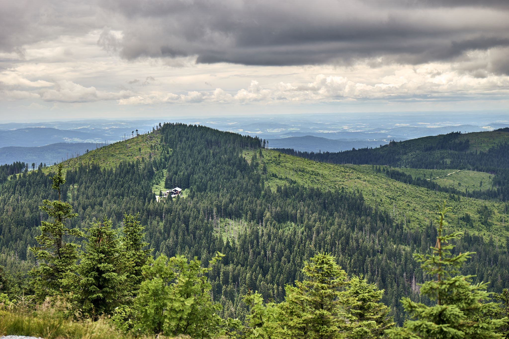
Bodenmaiser Hüttentouren - Unsere TOP Wanderungen mit Einkehr
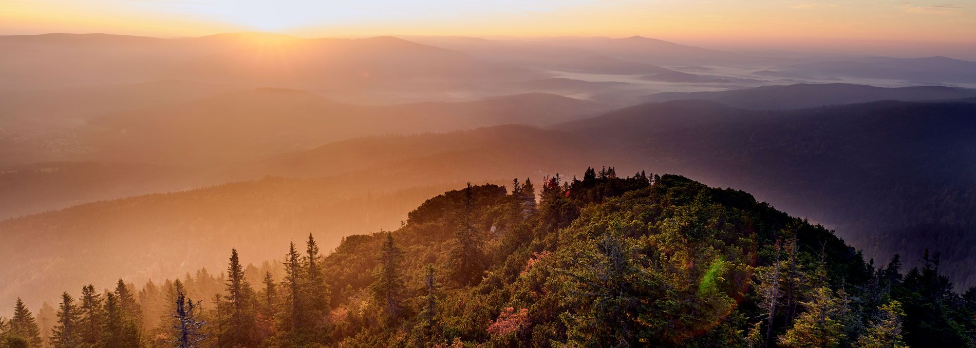
Gipfelglück - die TOP 5 Bodenmaiser Gipfelziele
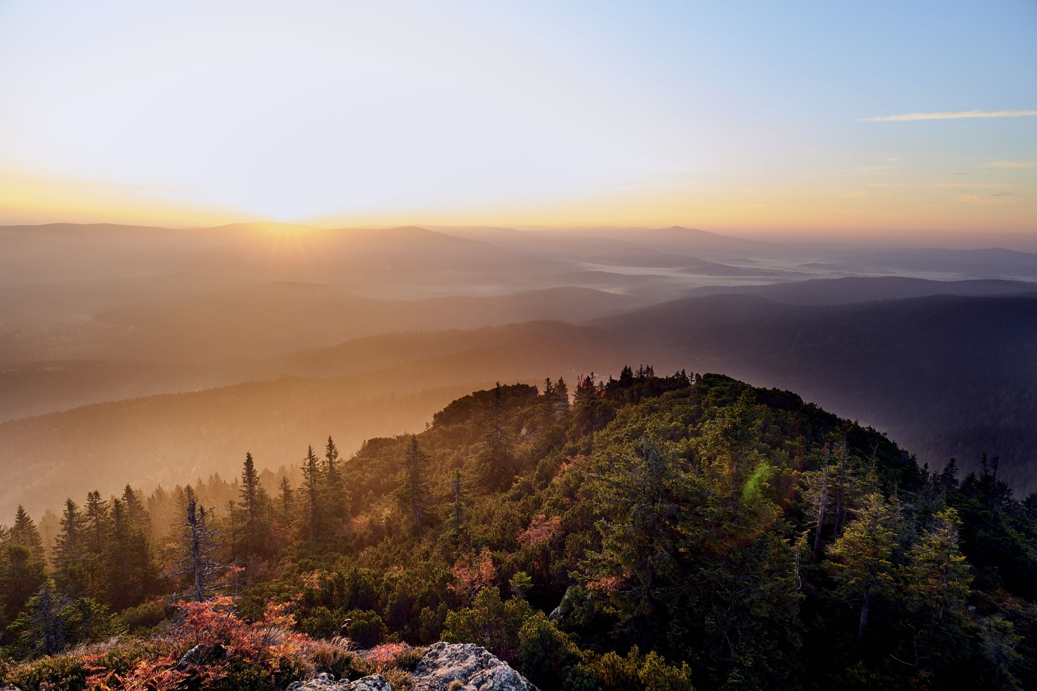
Goldener Hebst: TOP 10 Herbst-Wanderungen in Bodenmais
Other adventures around Bodenmais


Tips from the Community

The summit cross of the Großer Arber stands on the main summit of the highest mountain in the Bavarian Forest at an altitude of 1,456 meters. It is located directly on the distinctive summit rock, right next to the widely visible, round Bundeswehr radar stations. From the wooden cross, there is a magnificent 360-degree panoramic view over the entire Bavarian-Bohemian border region, the Bavarian Forest National Park, and, in good weather, even as far as the Alps.
9
0

The resting place on the rock formation is beautiful, only the view has become quite overgrown in the meantime.
12
0
The path to the Hochfall is part of the Wildes-Wasser-Weg Bodenmais, which was awarded "Germany's most beautiful hiking trail" in the day tour category by "Wandermagazin" in 2026. The path requires good sure-footedness in some places on rooty or stony sections. Again and again, there are beautiful views of the heights of the Bavarian Forest.
12
0
Here the hiking trail to the picturesque Hochfall begins, with a drop of eight meters, it is the second highest waterfall in the Bavarian Forest. The pure waterfall loop from Bodenmais is about six kilometers long, and it takes about two hours of pure walking time. The trail is part of the Wildes-Wasser-Weg Bodenmais, which was awarded "Germany's most beautiful hiking trail" in the Day Tours category by "Wandermagazin" in 2026. The Wildes-Wasser-Weg leads not only to the Hochfall but also to the highest waterfalls in the Bavarian Forest, the fifteen-meter-high Rissloch waterfalls.
11
0
Steinmännchen (also called Steinmandl or Cairns) originally served as orientation aids and trail markers in difficult terrain. They helped hikers find the right route in fog, snow, or when trails were missing. In Scandinavian myths, they were erected to protect hikers from evil spirits or trolls. In Greek mythology, they are associated with the messenger of the gods, Hermes, the patron god of travelers. Today, many people stack stones purely for pleasure or as a photo motif.
13
0
Seating on a rock, where due to the vegetation in the summer months, there is a view towards Bodenmais only in one spot.
5
0
The ascent to the Silberberg in Bodenmais (955 m) leads via old adits to the rocky summit. There are two main routes: an ascending, quite well-walkable path over roots and stones, as well as a rock path that involves some easy climbing but offers wonderful views.
6
0
The administration of the mine in Bodenmais erected the service building Steigerhaus on the Silberberg in 1739. It served the mine supervisor as a residence. For self-sufficiency, he had a garden, fields, and meadows at his disposal. In 1792 it was renovated. In 1863, the mine forests were transferred to the Royal Bavarian Forestry Administration. In the following years, it served the forester as a service building. At the beginning of the seventies, the building was demolished. The property has been privately owned since that time.
6
0
Frequently Asked Questions
How many hiking trails are accessible directly from bus stations in Bodenmais?
There are over 150 hiking routes in the Bodenmais region that are easily accessible, many of which start conveniently near bus stations. These trails offer a wide range of experiences, from leisurely walks to more challenging ascents, all within the beautiful Bavarian Forest.
Are there circular hiking routes available from Bodenmais bus stations?
Yes, many of the trails accessible from Bodenmais bus stations are circular routes, perfect for a day trip without needing to retrace your steps. An example is the View of Bodenmais loop from Bodenmais, which offers scenic vistas of the town and surrounding landscape.
Can I find trails with waterfalls accessible from Bodenmais bus stations?
Absolutely. The Bodenmais area is renowned for its captivating waterfalls. You can explore the highest waterfalls in the Bavarian Forest on the Rißloch Waterfall Upper Bridge – Riesloch Falls loop from Bodenmais. Another beautiful option is the Hochfall Waterfall Trail – Hochfall Waterfall loop from Bodenmais, leading to the picturesque Hochfall.
Are there family-friendly hiking options from Bodenmais bus stations?
Yes, Bodenmais offers several family-friendly trails. The region is known for paths suitable for all ages, including pram-friendly routes like the 'Ant Trail' and the 'Woid Woife's World' nature discovery trail. These routes often feature gentle gradients and engaging natural elements to keep children entertained.
What scenic viewpoints can I reach on hikes from Bodenmais bus stations?
Many trails offer stunning panoramic views. The local mountain, Silberberg, provides excellent views of Bodenmais and the Zellertal valley. For more expansive vistas, trails leading towards Großer Arber, the 'King of the Bavarian Forest,' or Kleiner Arber, offer breathtaking panoramas that can extend to the Alps on clear days. The View of Bodenmais loop is a great starting point for local views.
What is the best season for hiking from Bodenmais bus stations?
Bodenmais is a fantastic hiking destination year-round. Spring and autumn offer vibrant colors and pleasant temperatures. Summer is ideal for enjoying the lush forests and refreshing waterfalls. Even in winter, many trails are accessible for snowshoeing or winter hiking, especially around the Großer Arber, which is also a popular winter sports area.
Are dogs allowed on the hiking trails accessible from Bodenmais bus stations?
Generally, dogs are welcome on the hiking trails in the Bodenmais region. However, it is always recommended to keep them on a leash, especially in nature reserves or areas with wildlife, and to clean up after them. Always check specific trail regulations if you plan to visit a national park area.
What kind of natural attractions can I explore along these bus station trails?
Beyond the impressive waterfalls like Riesloch Falls and Lower Riesloch Falls, you can discover glacial lakes such as Großer Arbersee and Kleiner Arbersee, known for their unique 'floating islands.' The dense mixed forests and wild moorland landscapes of the Bavarian Forest also offer a truly immersive natural experience.
What do other hikers enjoy most about hiking in Bodenmais?
The area is highly rated by the komoot community, with an average score of 4.6 stars from over 13,000 ratings. Reviewers often praise the diverse natural landscapes, the extensive and well-maintained trail network, and the stunning views from peaks like Großer Arber. The accessibility of trails from public transport is also frequently highlighted.
Are there any historical or cultural attractions along these bus station trails?
While the focus is on natural beauty, some trails may pass near historical sites. For example, you can find several castle ruins in the wider Bodenmais area, such as Altnußberg Castle Ruins or Neunußberg Castle Ruins. The Silberberg mountain also features a historic visitor mine, offering a unique underground experience.
How can I find easy hiking routes from Bodenmais bus stations?
Bodenmais offers a significant number of easy routes, with over 80 trails classified as such. These are generally shorter, have less elevation gain, and are suitable for beginners or those looking for a relaxed walk. Look for routes with shorter durations and lower elevation profiles on komoot, or consult local tourist information for specific recommendations.
Most popular routes around Bodenmais
Most popular attractions around Bodenmais

Get inspired with the komoot mobile app


Explore more
Browse the best Hikes in other regions.
