The best hikes from bus stations in Calabria
4.4
(3738)
17,566
hikers
99
hikes
Bus station hiking trails in Calabria offer access to a diverse landscape at the southern tip of Italy. The region is characterized by rugged mountains, dense forests, and a dramatic coastline. Hikers can explore extensive national parks such as Sila, Aspromonte, and Pollino, which feature ancient woodlands, clear lakes, and numerous waterfalls. The terrain ranges from high mountain peaks to coastal paths with views of the Tyrrhenian Sea.
Best bus station hiking trails in Calabria
- The most popular bus station…
Last updated: October 13, 2026
4.8
(13)
42
hikers
5.08km
01:28
130m
130m
Easy hike. Great for any fitness level. Easily-accessible paths. Suitable for all skill levels.
9.86km
02:51
250m
250m
Moderate hike. Good fitness required. Easily-accessible paths. Suitable for all skill levels.

4.7
(35)
148
hikers
12.3km
03:36
330m
330m
Moderate hike. Good fitness required. Easily-accessible paths. Suitable for all skill levels.
4.5
(13)
112
hikers
Easy hike. Great for any fitness level. Easily-accessible paths. Suitable for all skill levels.
4.8
(22)
53
hikers
10.2km
03:33
460m
460m
Moderate hike. Good fitness required. Mostly accessible paths. Sure-footedness required.
Get access to more routes and recommendations from other explorers.
Already have an account?
Our route recommendations are based on thousands of hikes, rides, and runs completed by other people on komoot.
Start today with a free account
Your next adventure awaits.
Popular around Calabria

Hikes from bus stations in Cosenza

Hikes from bus stations in Vibo Valentia

Hikes from bus stations in Crotone
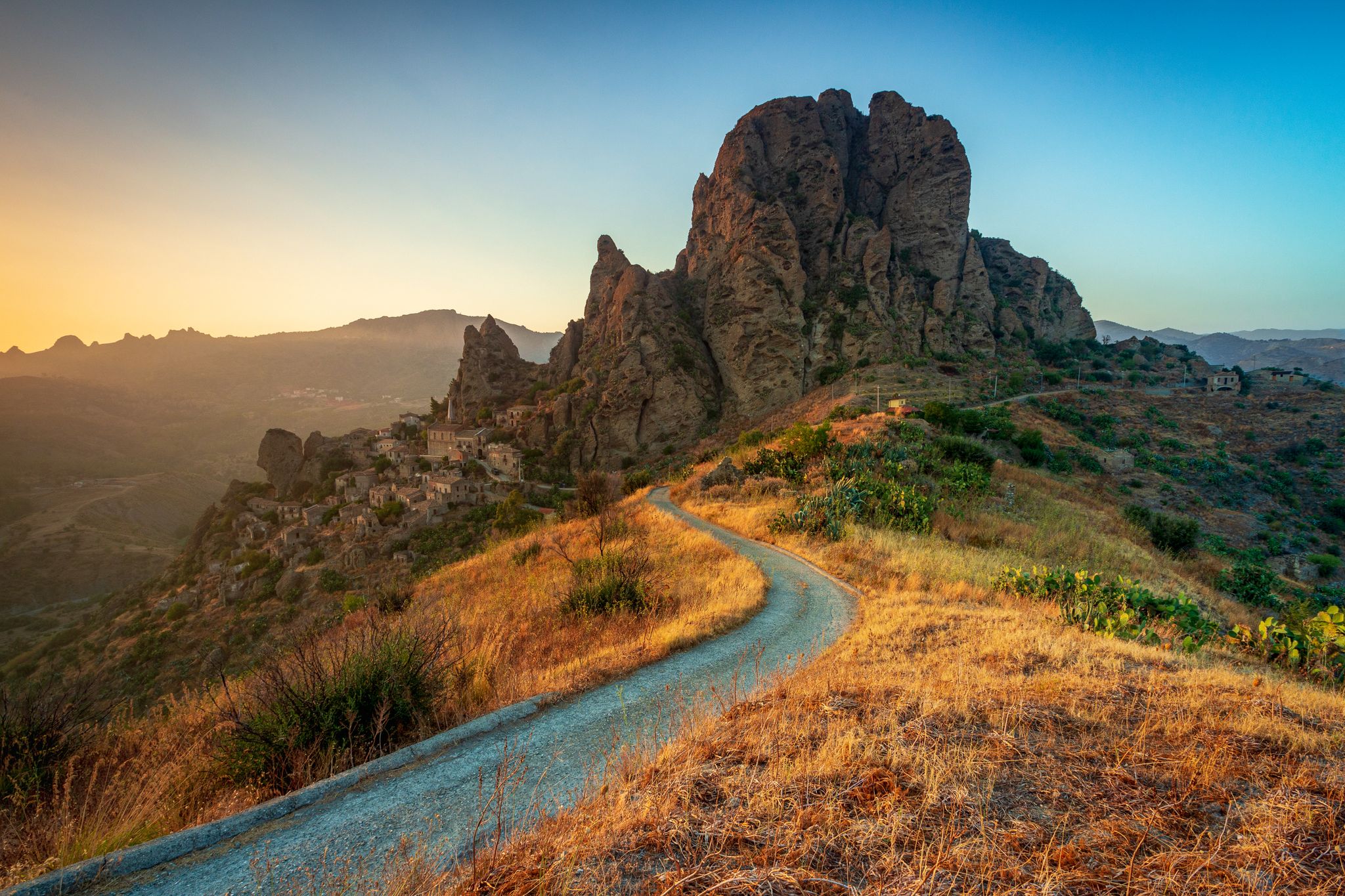
Tracing Edward Lear’s journey through Calabria – Sentiero dell'Inglese
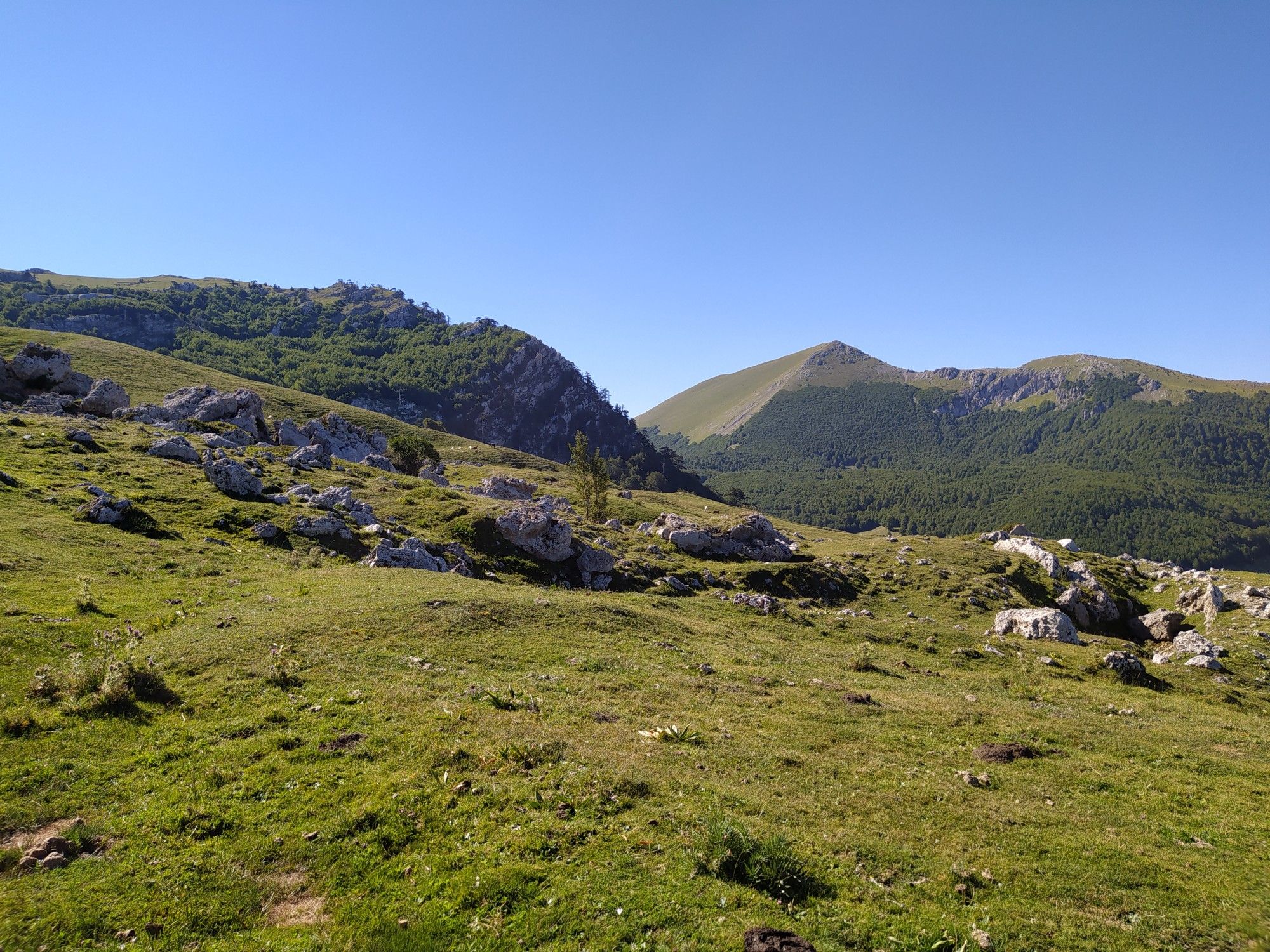
Among the ancient villages and lush forests – Sentiero Italia

Along the backbone of Calabria – Sentiero Italia

Interiora - A Journey into the Remote Areas of Italy
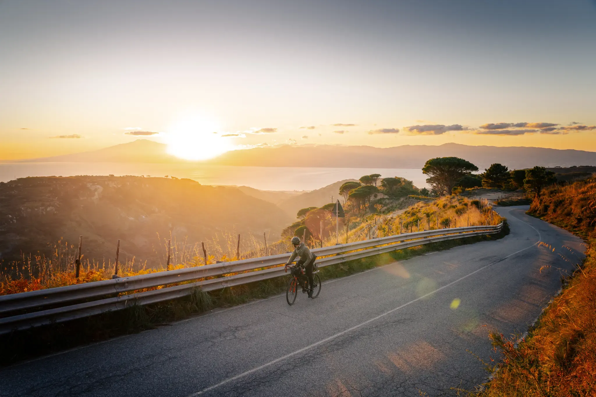
Cycle through the colourful heart of Italy’s Calabria – Ciclovia Parchi
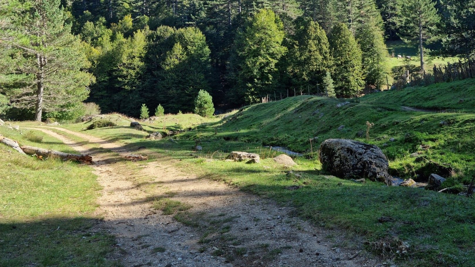
MTB in the Calabrian Apennines – Traverse of the Sila Piccola
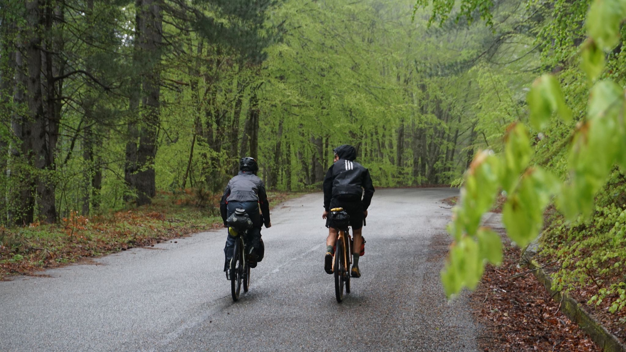
The unexpected mountain – Ciclovia Parchi Calabria
Other adventures in Calabria


Tips from the Community

The Cathedral of Reggio Calabria (known as Duomo di Maria Santissima Assunta in Cielo) is the largest sacred building in Calabria. Style: Eclectic in Neo-Romanesque style with Gothic influences, rebuilt after the 1908 earthquake. Attendance: The peak attendance time is Sunday morning for religious services. Interiors: It houses the Chapel of the Blessed Sacrament, the most important Baroque monument in the archdiocese.
0
0


I recommend traversing this section of the "Sentiero del Tracciolino" very cautiously, paying close attention to where you place your feet. It winds along the steep Calabrian cliff face that runs from Palmi to Bagnara Calabra and is indeed very narrow in places. Furthermore, if there is any vegetation on the sea side, there is a risk of placing your foot on false flats, "foot-breakers" as they say. The magnificent sea view also contributes to this, as it risks distracting you from the path.
0
0
If the breathtaking route of the Sentiero del Tracciolino, which juts out over that steep stretch of cliff going from Palmi to Bagnara Calabra, with its deep and distant views, were not enough; if all this were not enough, you suddenly find yourself in front of a narrow, stone arch bridge, from which you have to pass to proceed with the route. Very beautiful and evocative, I recommend passing over it, with a bit of caution, instead of choosing the safer "land route" that bypasses the small bridge to its left.
0
0

On the occasion of this church's patronal feast, here are a few brief thoughts from Mario Amico: “Jesus' foster father is a fascinating person, even though we know little about him. It is interesting how God makes contact with Joseph. Not through a grand apparition, but God encounters him in a dream, and not just once. He was touched by the dreams; he didn't question them, but acted upon them. Indeed, he is a man of action (...). A firm faith, unwavering trust in God, and an empathetic understanding that allows him to recognize who needs his help—these spur him on and enable him to actively implement God's guidance. (...) Even though Joseph is a rather unassuming, quiet saint, he should be a great role model for us today.”
1
0

You can also walk past it on the left for those who are not afraid of heights
0
0

When someone in Reggio Calabria says “I’m going to Cesare’s,” it’s always the famous Gelateria Cesare. If residents line up at the unassuming green ice cream stand, then tourists should be tempted too.
1
0
Gelateria Cesare is the winner of the prestigious Three Cones (Tre Coni) award from the Gambero Rosso Gelaterie d'Italia 2025 guide. This distinction is a confirmation of the high quality of ingredients and the mastery of creating ice cream from them, which makes the ice cream parlor one of the leading points on the ice cream map of Italy.
1
0
Frequently Asked Questions
How many bus-accessible hiking trails are there in Calabria?
There are over 80 hiking trails in Calabria that are accessible by bus, offering a wide range of options for exploring the region's diverse landscapes without a car.
Are there easy hiking trails accessible by bus in Calabria?
Yes, you'll find plenty of easy options. Approximately half of the bus-accessible trails in Calabria are rated as easy, making them suitable for beginners or those looking for a relaxed walk. An example is the Anello del Sentiero di Basilicò, which offers a gentle loop.
Can I find circular hiking routes starting from a bus stop in Calabria?
Many of the bus-accessible routes in Calabria are designed as circular trails, allowing you to start and end your hike at the same bus stop. This is ideal for convenient public transport use. The View of Buonvicino – Buonvicino Village loop is a great example of a circular route.
What natural features or landmarks can I explore on bus-accessible hikes in Calabria?
Calabria's bus-accessible trails lead to a variety of stunning natural features and landmarks. You can discover ancient forests like the 'Giants of Sila' (Giganti della Sila), explore rugged mountainous terrain in Aspromonte National Park with its numerous streams and waterfalls, or enjoy coastal views near Tropea and Capo Vaticano. Highlights such as Murat Castle of Pizzo Calabro or Ruffo Castle of Scilla are also accessible.
Are there family-friendly hiking trails reachable by bus in Calabria?
Absolutely. Many of the easier bus-accessible trails are suitable for families. These often feature gentle inclines and well-maintained paths, allowing for an enjoyable outing with children. Look for routes in areas like Sila National Park, known for its accessible forests and lakes.
Can I reach trailheads in Calabria's National Parks by bus?
Yes, several trailheads within Calabria's significant national parks, including Sila, Aspromonte, and Pollino, are reachable by local bus services. This allows you to immerse yourself in these protected natural areas, known for their diverse landscapes and rich biodiversity, without needing a private vehicle. For example, trails like the Stone Giants of Campana Trail are often accessible via public transport connections.
When is the best time of year to hike bus-accessible trails in Calabria?
The best time to hike in Calabria generally depends on the elevation. Spring (April-June) and autumn (September-October) offer pleasant temperatures for most trails, including coastal and lower mountain routes. For higher elevations in national parks like Sila or Aspromonte, summer (July-August) is ideal, though some trails may be accessible in late spring and early autumn. Always check local weather conditions before heading out.
Are dogs allowed on bus-accessible hiking trails in Calabria?
Generally, dogs are permitted on many hiking trails in Calabria, especially if kept on a leash. However, specific regulations may apply within national parks (Sila, Aspromonte, Pollino) or protected areas. It's always advisable to check the specific park's rules or local signage before bringing your dog, especially when using public transport to reach trailheads.
Do I need permits for hiking in Calabria's National Parks?
For general hiking on marked trails within Calabria's National Parks (Sila, Aspromonte, Pollino), permits are typically not required. However, certain restricted areas, guided tours, or specific activities might require prior authorization. It's always best to consult the official website of the respective National Park for the most up-to-date information on regulations.
What do other hikers say about bus-accessible trails in Calabria?
The komoot community highly rates the bus-accessible trails in Calabria, with an average score of 4.38 stars. Reviewers often praise the stunning natural beauty, the variety of landscapes from mountains to coast, and the convenience of accessing these routes via public transport, allowing for car-free adventures.
Are there any bus-accessible trails that feature waterfalls in Calabria?
Yes, Calabria's national parks are home to numerous streams and waterfalls, and some bus-accessible trails will lead you to them. For instance, the Basilicò Trail – Vallescura Waterfall loop is a moderate hike that takes you to the Vallescura Waterfall, offering a refreshing natural spectacle.
Can I find coastal hiking trails accessible by bus in Calabria?
Calabria's dramatic coastline offers excellent hiking opportunities, and some routes are indeed accessible by bus. Areas like Tropea and Capo Vaticano feature trails with stunning views of the Tyrrhenian Sea, dramatic cliffs, and picturesque beaches. The San Nicolò Church, Ricadi – View from the Faro Vaticano loop is an example of a coastal-adjacent route that can be reached by bus.
Most popular routes in Calabria
Most popular attractions in Calabria

Get inspired with the komoot mobile app


Didn’t find what you were looking for?
Check out more Hikes throughout Calabria below and find the perfect route in your destination.
Explore more
Browse the best Hikes in other regions.
