The best hikes from bus stations around Hall-Wattens
4.6
(25997)
159,286
hikers
463
hikes
Bus station hiking trails around Hall-Wattens offer access to a diverse landscape situated between the Karwendel Nature Park to the north and the Tux Alps to the south. The region features wild mountain valleys, towering limestone cliffs, and alpine pastures, all within the picturesque Inn Valley. Hikers can explore a variety of terrains, from gentle valley paths to challenging mountain ascents, with routes often starting directly from public transport hubs.
Best bus station hiking trails around Hall-Wattens
- The most popular bus station hiking route is Suspension bridge loop, a 6.5 miles (10.4 km) moderate trail that takes about 3 hours 20 minutes to complete, featuring scenic views and a notable suspension bridge.
- Another top favourite among local hikers is History and nature in the wild Halltal valley - Karwendel Nature Park, a difficult 9.7 miles (15.7 km) path. This route explores the untouched nature of the Halltal valley, showcasing rugged limestone walls and diverse flora within the Karwendel Nature Park.
- Local hikers also love the View of the Walder Alm Chapel – Walderalm loop from Gnadenwald, a 5.2 miles (8.4 km) trail leading through alpine pastures and offering views of the Walder Alm Chapel, often completed in about 3 hours 20 minutes.
- Hiking around Hall-Wattens is defined by the majestic Karwendel Nature Park, the varied Tux Alps, and the scenic Inn Valley, with options for different ability levels.
- The routes in Hall-Wattens are highly rated by the komoot community with an average score of 4.6 stars from over 25,000 reviews. More than 155,000 hikers have used komoot to explore Hall-Wattens's varied terrain.
Last updated: July 1, 2026
4.5
(198)
772
hikers
10.4km
03:22
420m
420m
Moderate hike. Good fitness required. Mostly accessible paths. Sure-footedness required.
4.0
(4)
21
hikers
15.7km
06:59
1,120m
1,230m
Hard hike. Very good fitness required. Mostly accessible paths. Sure-footedness required.

Sign up for free
4.6
(110)
883
hikers
8.37km
03:17
610m
610m
Moderate hike. Good fitness required. Mostly accessible paths. Sure-footedness required.
4.6
(90)
756
hikers
8.93km
03:15
540m
540m
Moderate hike. Good fitness required. Mostly accessible paths. Sure-footedness required.
4.6
(70)
663
hikers
8.21km
03:14
530m
530m
Moderate hike. Good fitness required. Mostly accessible paths. Sure-footedness required.
Get access to more routes and recommendations from other explorers.
Sign up for free
Already have an account?
Our route recommendations are based on thousands of hikes, rides, and runs completed by other people on komoot.
Start today with a free account
Your next adventure awaits.
Login or Signup
Popular around Hall-Wattens
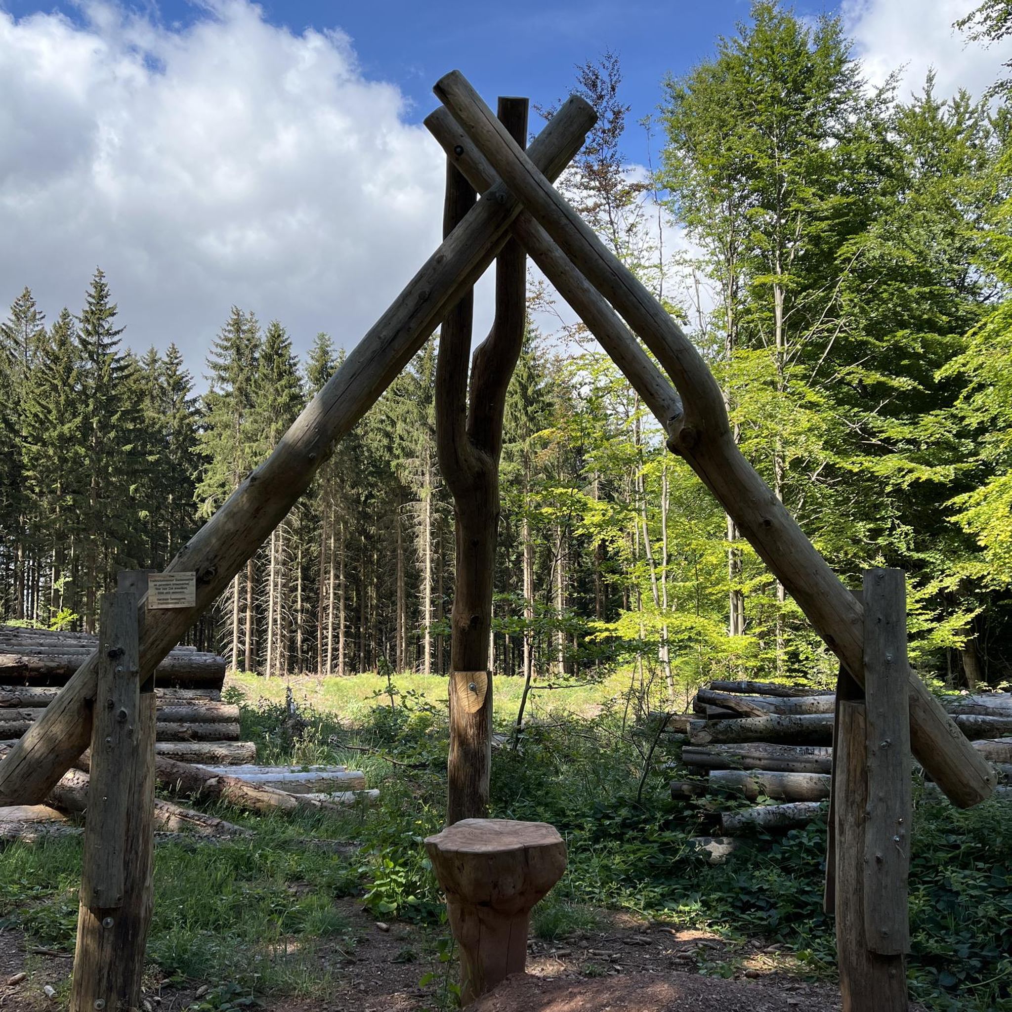
Hikes from bus stations around Mils
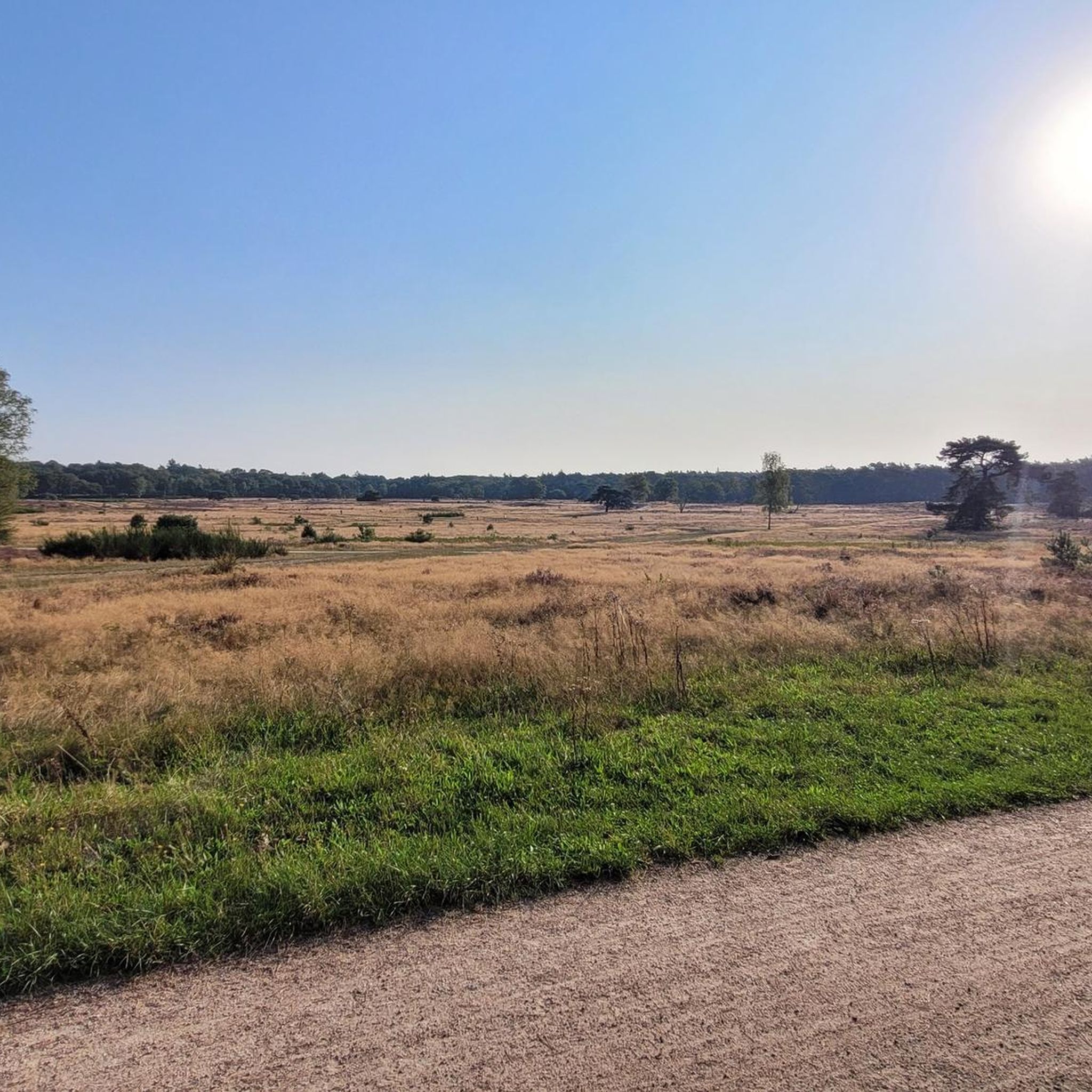
Hikes from bus stations around Rum
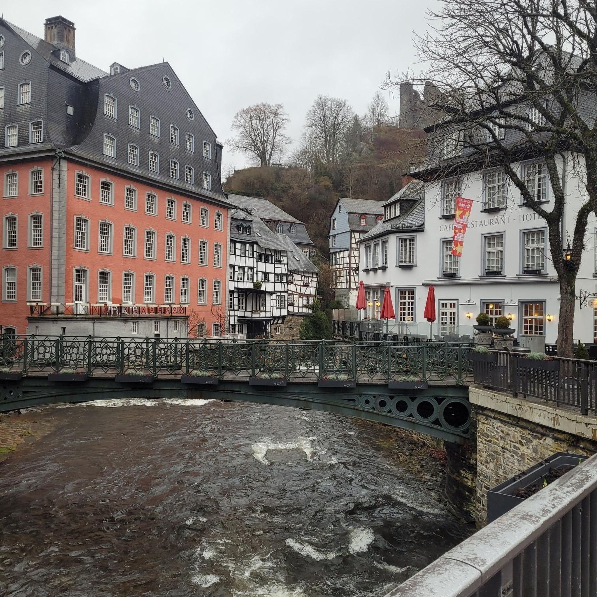
Hikes from bus stations around Absam

Hikes from bus stations around Rinn

Hikes from bus stations around Aldrans
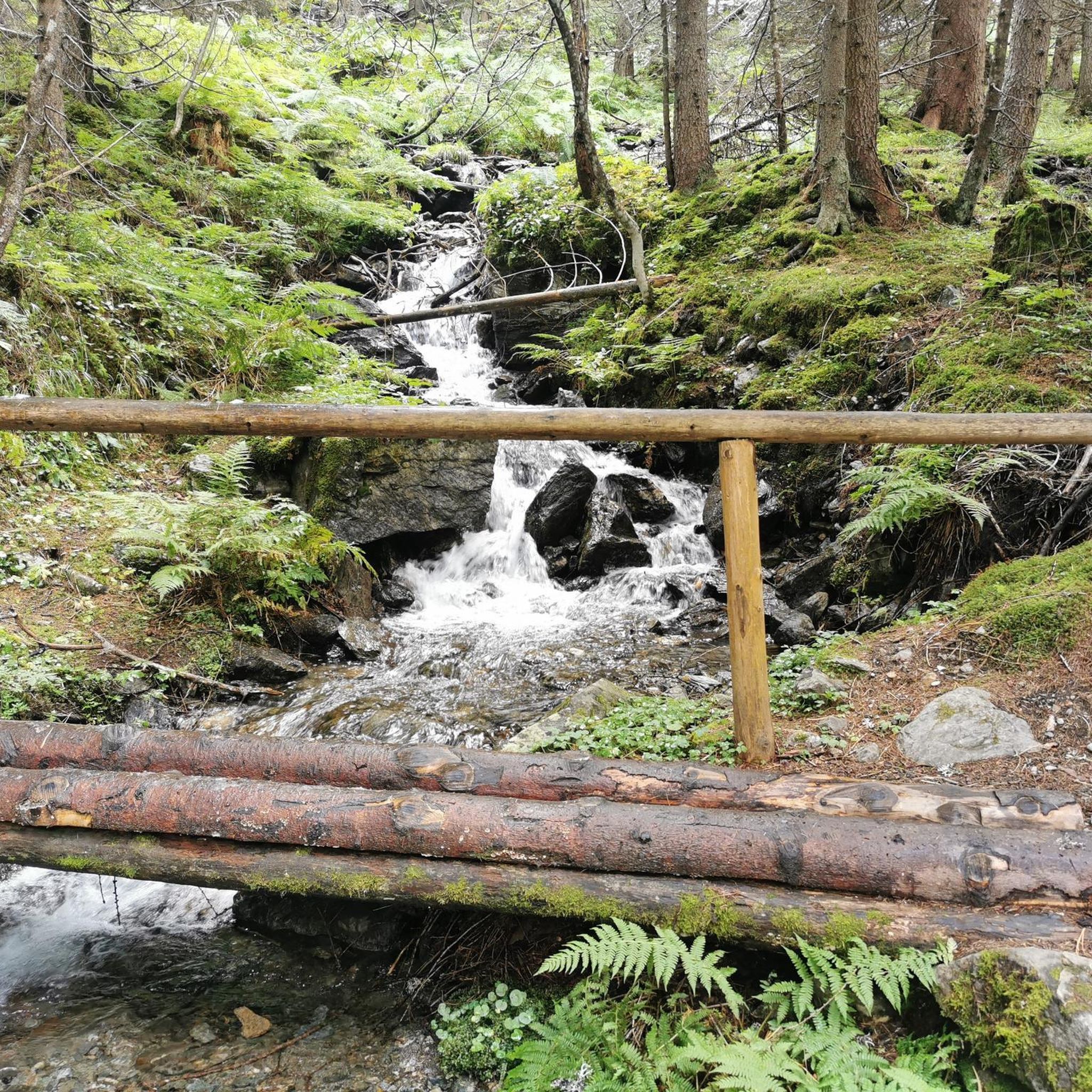
Hikes from bus stations around Lans
Hikes from bus stations around Wattens
Hikes from bus stations around Thaur

Hikes from bus stations around Volders

Hikes from bus stations around Hall in Tirol
Other adventures around Hall-Wattens


Tips from the Community

It's quite icy in the shade right now.
0
0

This local pension and restaurant offer great, friendly service, open views of the Inn Valley and delicious food for all pockets 😋
0
0


My personal highlight of the hike, apart from the magnificent mountain view towards Terfens/Fritzens.
0
1
Really beautiful surroundings and a safe bridge. However, the paths there are quite steep in autumn and a bit slippery due to the leaves. Sturdy shoes are definitely recommended
0
1

Very beautiful view of the mountains.
0
0
Frequently Asked Questions
How many hiking trails accessible by bus are there in the Hall-Wattens region?
The Hall-Wattens region offers a wide selection of over 460 hiking trails that are conveniently accessible by bus, catering to various preferences and fitness levels. More than 210 of these are considered easy, making them suitable for casual walkers.
Are there family-friendly hiking trails accessible by bus in Hall-Wattens?
Absolutely. Many trails are suitable for families, including those around the Glungezer mountain, which features the 'Kugelwald am Glungezer' adventure world and the Zirbensee. The region also offers themed routes like the Historical Circular Hiking Trail, which is approximately 9.5 km long and connects historically valuable sights, perfect for a family outing.
What kind of natural landscapes can I expect to see on bus-accessible hikes in Hall-Wattens?
The Hall-Wattens region is nestled between the majestic Karwendel Nature Park to the north and the Tux Alps to the south. You can expect to see wild mountain valleys, towering limestone cliffs, and emerald-green streams in the Karwendel, or explore the wonderfully untouched nature of valleys like Wattental and Voldertal in the Tux Alps. The Inn Valley itself offers magnificent views of the surrounding mountains.
Are there any circular hiking routes that start and end at a bus station?
Yes, the region offers several circular routes that are easily accessible by bus. For example, the View of the Walder Alm Chapel – Walderalm loop from Gnadenwald is a moderate 8.3 km hike with beautiful views. Another option is the Rumer Alm – Forest trail to Rumeralm loop from Lidl, a moderate 9.5 km route.
What are some challenging bus-accessible hikes in the area?
For those seeking a challenge, the region offers demanding routes such as the History and nature in the wild Halltal valley - Karwendel Nature Park. This difficult 15.6 km hike involves significant elevation gain, exploring the rugged and untouched nature of the Karwendel, including opportunities to spot chamois and ibex.
Can I find scenic viewpoints or notable attractions along bus-accessible trails?
Absolutely. Many trails lead to stunning viewpoints and attractions. You could hike to the Wattens viewing platform for panoramic views of the Inn Valley. The Suspension bridge loop offers unique perspectives. Additionally, you can explore highlights like Herzsee or the Tulfein Reservoir, which are often accessible via trails from bus stops.
Are there any themed hikes or historical routes accessible by bus?
Yes, the region is rich in themed trails. The Historic Brine Hiking Trail in Halltal provides insights into the region's salt production history. Another option is the Halltal Escape Trail – St. Magdalena Mountain Inn loop from Absam, which takes you through historical landscapes and to significant sites like St. Magdalena im Halltal, considered a 'place of power'.
What do other hikers enjoy the most about hiking in Hall-Wattens?
The Hall-Wattens region is highly rated by the komoot community, with an average score of 4.58 stars from over 25,000 ratings. Reviewers often praise the diverse landscapes, from the wild Karwendel to the gentle Tux Alps, the well-maintained trails, and the excellent accessibility via public transport, making it easy to explore the region's natural beauty.
Are there opportunities to visit mountain huts or places for refreshments on these hikes?
Yes, the region is well-equipped with numerous rustic huts and mountain pastures that offer refreshment stops. Many trails, including those accessible by bus, pass by these establishments, allowing hikers to enjoy local cuisine and take a break amidst the stunning alpine scenery.
What is the best season for bus-accessible hiking in Hall-Wattens?
The hiking season in Hall-Wattens generally runs from late spring to early autumn, typically May through October, when trails are clear of snow and weather conditions are most favorable. However, some lower-altitude and valley walks can be enjoyed year-round, offering different charms in winter.
Are there any trails that lead to lakes or reservoirs?
Yes, several trails in the Hall-Wattens area lead to beautiful water features. For instance, you can find routes that take you to the idyllic Mill lake or the Zirbensee, offering picturesque spots for a break or a picnic. These are often accessible from bus stops, allowing for a refreshing hike.
Most popular routes around Hall-Wattens
Most popular attractions around Hall-Wattens

Get inspired with the komoot mobile app


Didn’t find what you were looking for?
Check out more Hikes throughout Hall-Wattens below and find the perfect route in your destination.
Explore more
Browse the best Hikes in other regions.
