The best hikes from bus stations in Landkreis Bad Kissingen
4.6
(19237)
67,908
hikers
1,521
hikes
Bus station hiking trails in Landkreis Bad Kissingen traverse a varied landscape, situated between the Rhön Mountains and the Spessart. The region is characterized by rolling hills, dense forests, and the scenic Franconian Saale river valley. Hikers can explore the foothills of the Rhön UNESCO Biosphere Reserve, featuring basaltine hilltops, expansive meadows, and woodlands. The area also includes extensive woodlands and unique dry habitats, offering diverse terrain for public transport hikes.
Best bus station hiking trails in Landkreis Bad Kissingen
…Last updated: October 13, 2026
4.4
(156)
535
hikers
12.8km
03:34
240m
240m
Moderate hike. Good fitness required. Mostly accessible paths. Sure-footedness required.
4.6
(115)
394
hikers
17.1km
05:01
470m
470m
Hard hike. Very good fitness required. Mostly accessible paths. Sure-footedness required.

4.5
(123)
579
hikers
Easy hike. Great for any fitness level. Easily-accessible paths. Suitable for all skill levels.
4.8
(48)
146
hikers
12.6km
03:31
250m
250m
Moderate hike. Good fitness required. Easily-accessible paths. Suitable for all skill levels.
4.6
(85)
311
hikers
5.69km
01:39
130m
140m
Moderate hike. Great for any fitness level. Mostly accessible paths. Sure-footedness required.
Get access to more routes and recommendations from other explorers.
Already have an account?
Our route recommendations are based on thousands of hikes, rides, and runs completed by other people on komoot.
Start today with a free account
Your next adventure awaits.
Popular around Landkreis Bad Kissingen

Hikes from bus stations around Bad Brückenau

Hikes from bus stations around Hammelburg
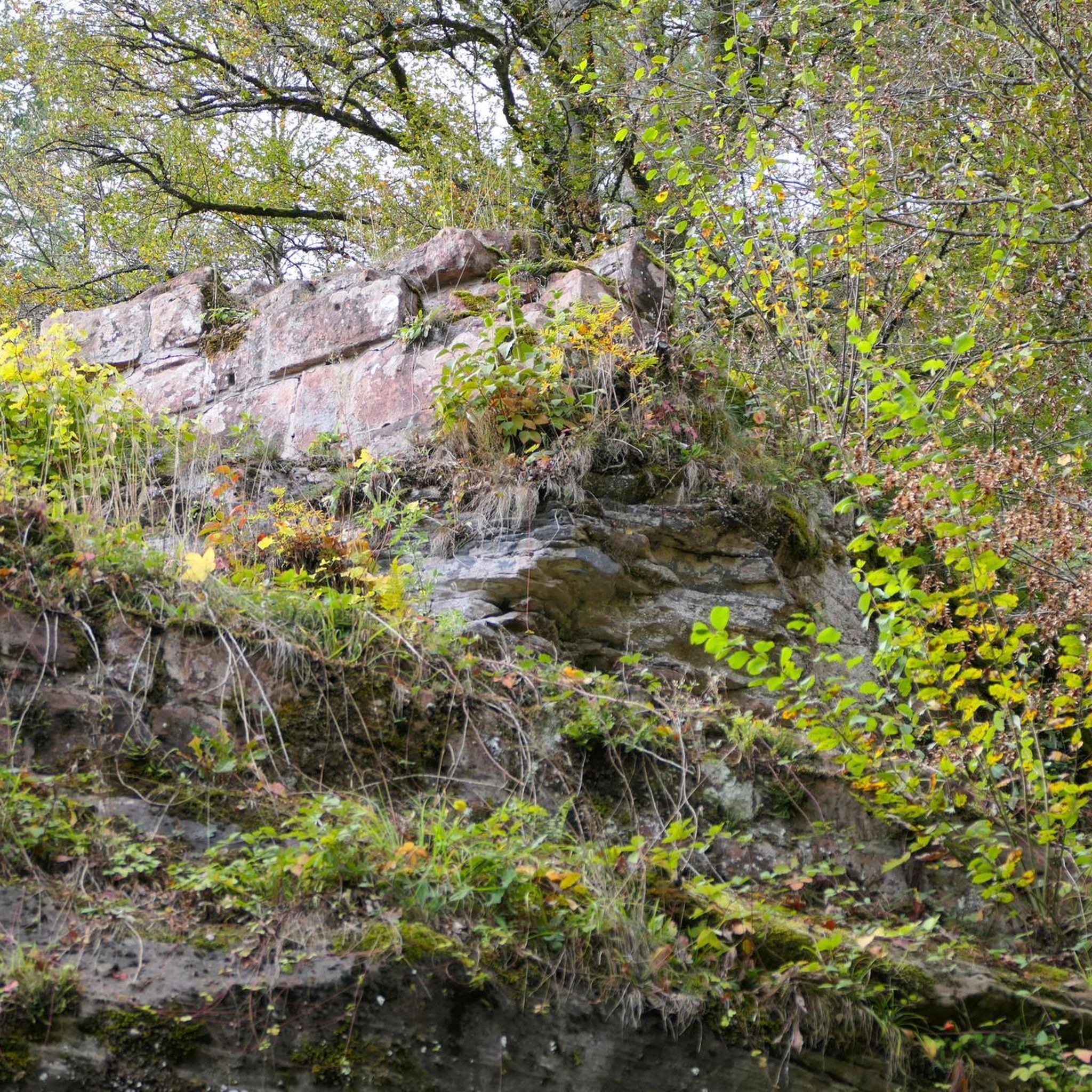
Hikes from bus stations around Oberthulba
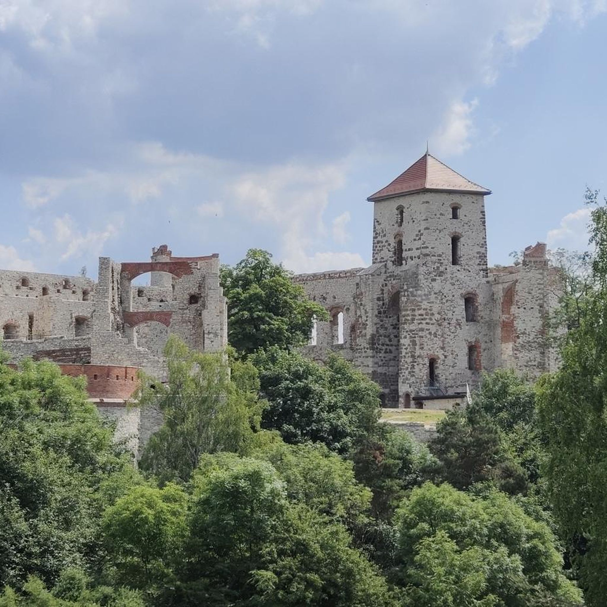
Hikes from bus stations in Farnsberg - Totnansberg
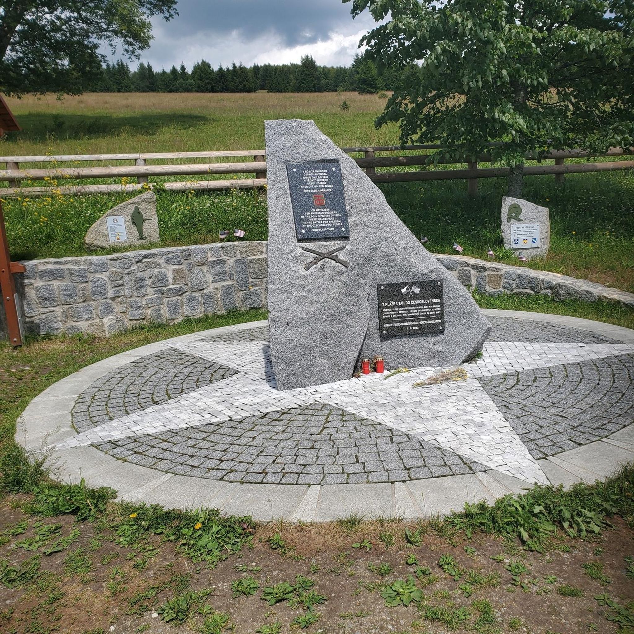
Hikes from bus stations around Wartmannsroth
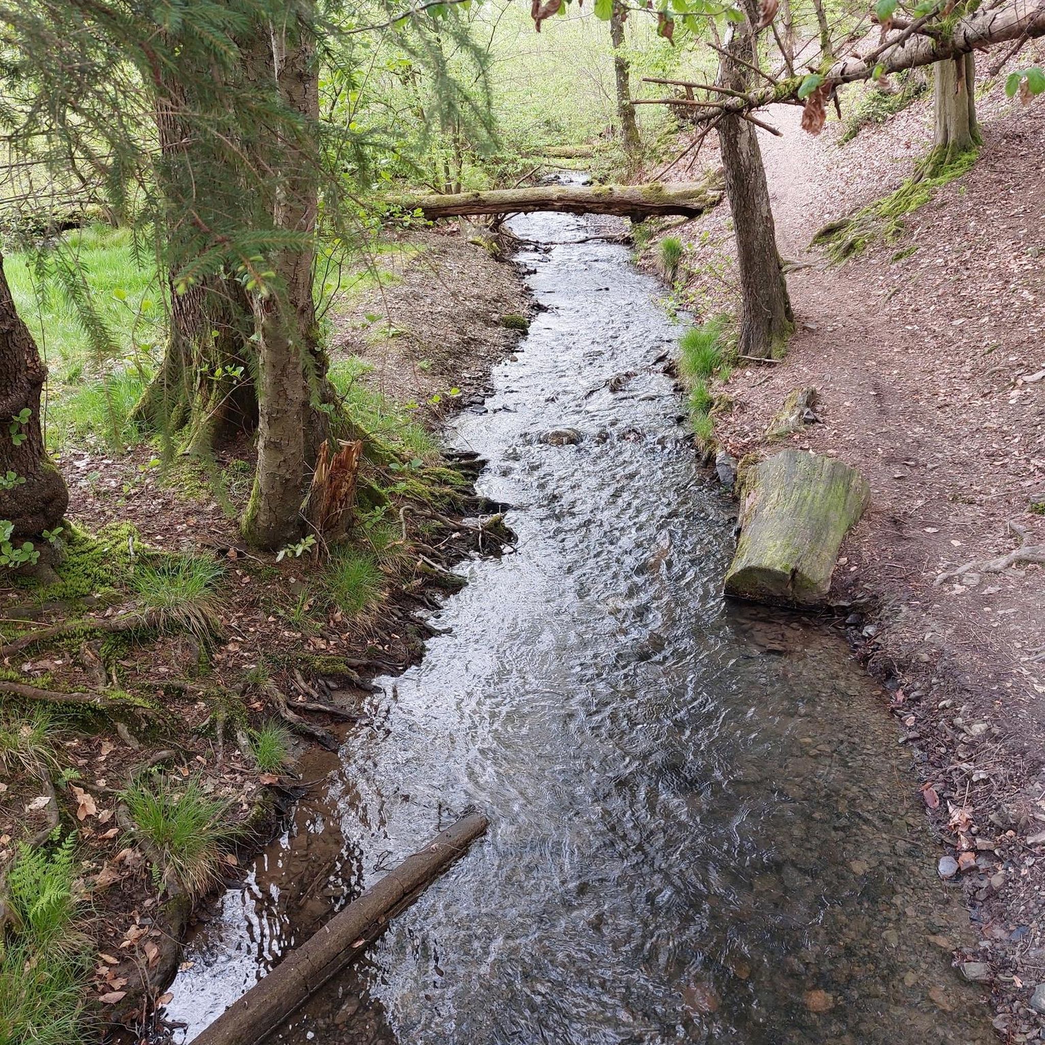
Hikes from bus stations around Motten
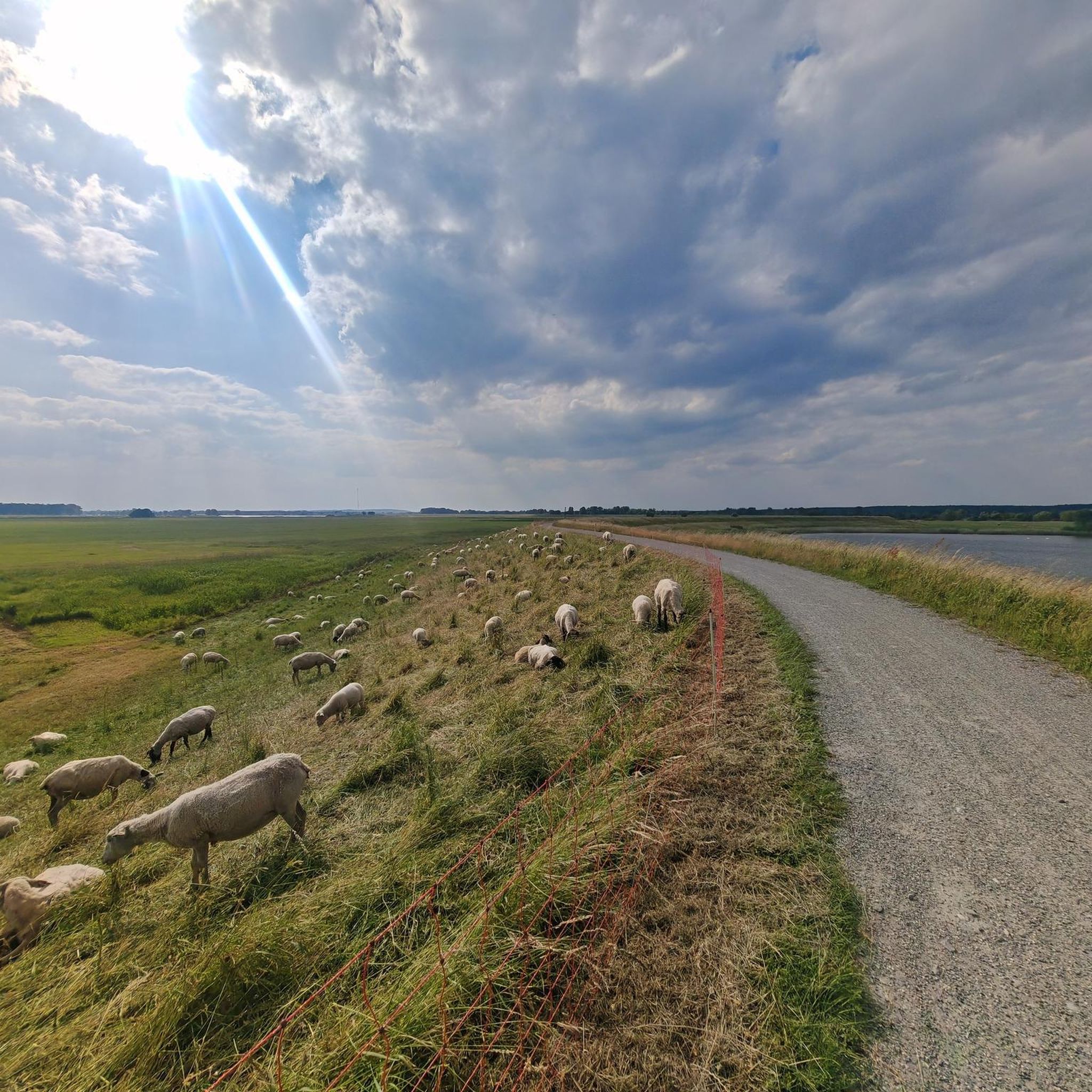
Hikes from bus stations around Sodenberg-Gans
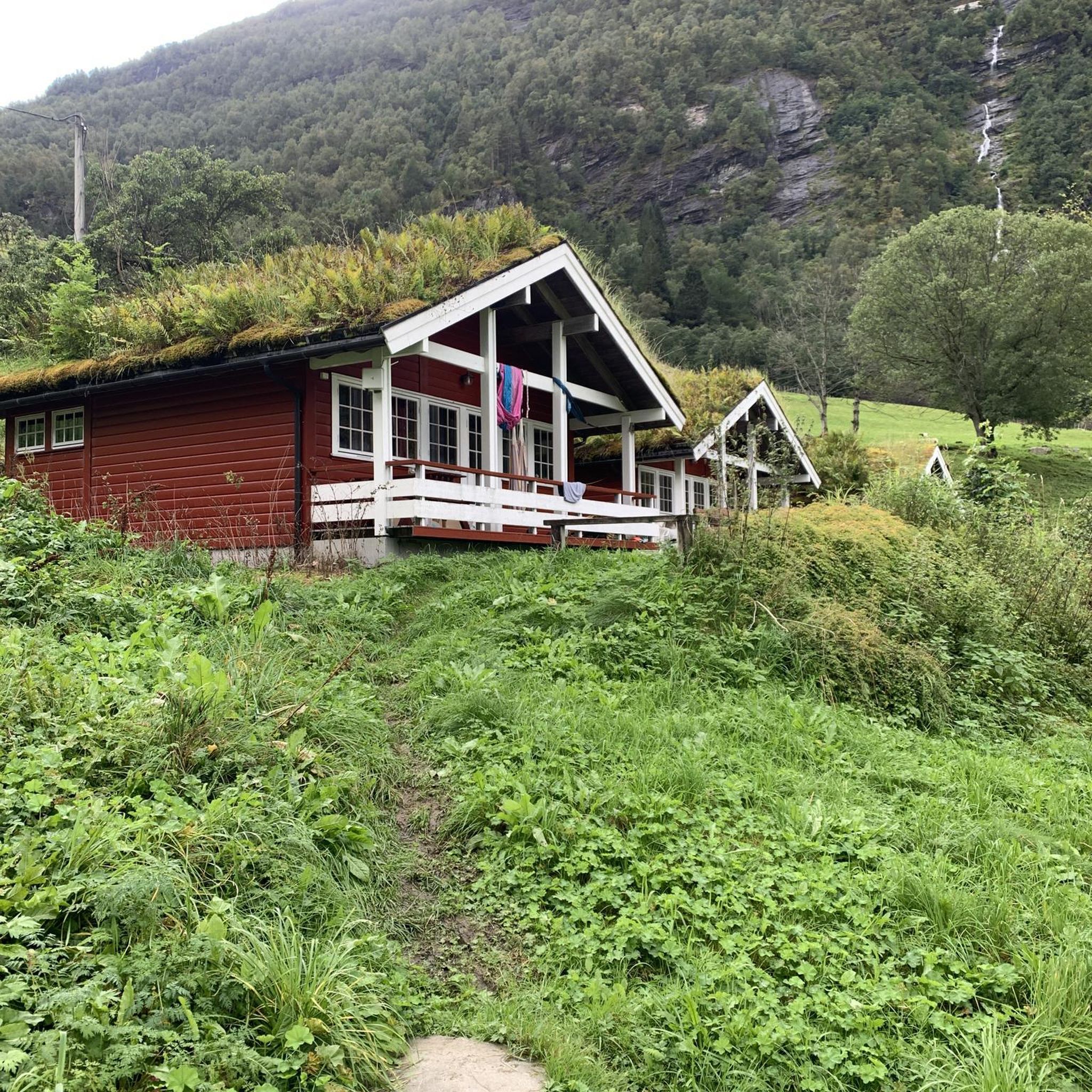
Hikes from bus stations around Dreistelzer Forst

Hikes from bus stations around Wildflecken

Hikes from bus stations in Wälder Und Trockenstandorte Bei Bad Kissingen Und Münnerstadt
Other adventures in Landkreis Bad Kissingen


Tips from the Community

This is a really distinctive waypoint!📍🗺️ #Waypoint #Orientation #Discovery
0
0

The approximately 70 km long Sinn is the largest tributary of the Fränkische Saale in the German states of Bavaria and Hesse. It rises in the Rhön and flows predominantly southwards. Its confluence with the Fränkische Saale is shortly before its confluence with the Main. Source: Wikipedia
1
0
The Sinn, approximately 70 km long, is the largest tributary of the Fränkische Saale in the German states of Bavaria and Hesse. It originates in the Rhön and flows predominantly southwards. Its confluence with the Fränkische Saale is shortly before its confluence with the Main. Source: Wikipedia
1
0

A very level promenade. Here you can stroll along the edge of the spa gardens or buy antiques and jewelry. There are also places to eat and drink.
0
0
Historic bathhouse, which is being converted into a government office.
0
0
Formerly a bathhouse - a stately building, which is being converted into a government office.
0
0

This pergola has grown beautifully.
6
0

Here you will also find the tourist information
2
0
Frequently Asked Questions
How many bus station hiking trails are available in Landkreis Bad Kissingen?
Landkreis Bad Kissingen offers a vast network of hiking trails accessible by bus. You can explore over 1,500 routes that start or end near bus stations, catering to various preferences and fitness levels.
What kind of landscapes can I expect on bus-accessible hikes in Landkreis Bad Kissingen?
The region boasts diverse landscapes, from the rolling hills and dense forests of the Rhön Mountains foothills to the scenic Franconian Saale river valley. You'll encounter basaltine hilltops, expansive meadows, and tranquil valleys, offering a rich variety of natural beauty.
Are there any family-friendly bus station hikes in Landkreis Bad Kissingen?
Yes, there are many family-friendly options. For a shorter, easy walk, consider the Beaver Water World on the Sinn – Beaver Platform Sinnaue loop from Staatsbad Brückenau, which is just over 4 km long and features minimal elevation gain, perfect for all ages.
Can I bring my dog on these bus-accessible trails?
Many trails in Landkreis Bad Kissingen are dog-friendly, but it's always advisable to check specific route details for any restrictions. Generally, dogs are welcome on most natural paths, provided they are kept on a leash and owners clean up after them.
Are there bus-accessible trails that feature waterfalls?
Absolutely! You can find routes that lead to beautiful waterfalls. For instance, the View of the Rhön – Trail to Trettstein Waterfall loop from Dittlofsroda is a moderate 12.5 km hike that takes you to the picturesque Trettstein Waterfall.
Are there circular routes accessible by bus?
Yes, many bus-accessible routes are designed as circular walks, allowing you to start and end at the same bus stop. An example is the Wichtelhöhlen Rock Formations – View of Bad Kissingen loop from Bad Kissingen, a moderate 12.8 km trail offering scenic views and natural formations.
What interesting natural attractions can I see along bus-accessible routes?
Along bus-accessible routes, you can discover several natural highlights. The Wichtelhöhlen Rock Formations (gnome caves) and the wild and romantic Kaskadental (Cascades Valley) are notable features that add unique character to your hike.
What is the best time of year to hike from bus stations in Landkreis Bad Kissingen?
Landkreis Bad Kissingen is beautiful year-round. Spring brings blooming meadows, summer offers lush greenery, and autumn showcases vibrant foliage. Even winter can be magical for hiking, especially in the Rhön, though some higher trails might require appropriate gear. Always check local weather conditions before heading out.
Are there any challenging bus-accessible hikes for experienced hikers?
For experienced hikers seeking a challenge, there are more demanding routes. The Extra tour "Der Mottener": Motten – Rhön is a difficult 17 km hike with significant elevation gain, offering a rewarding experience in the Rhön foothills.
What do other hikers say about the trails in Landkreis Bad Kissingen?
The hiking trails in Landkreis Bad Kissingen are highly regarded by the komoot community, with an average rating of 4.6 stars from over 17,000 reviews. Hikers frequently praise the well-maintained paths, diverse scenery, and the accessibility of many routes via public transport.
Are there any easy bus-accessible hikes for beginners?
Yes, beginners can find numerous easy routes. Many trails along the Franconian Saale river valley offer gentle terrain and shorter distances, perfect for those new to hiking or looking for a relaxed stroll. The Beaver Water World on the Sinn is a great easy option.
How long do these bus-accessible hikes typically take?
The duration of bus-accessible hikes varies greatly depending on the route's length and difficulty. Easy walks can take as little as 1-2 hours, while moderate trails might range from 3-5 hours. More challenging routes, like the Extra tour "Der Mottener", can take 5 hours or more.
Where can I find refreshments or accommodation near bus-accessible trailheads?
Many towns and villages in Landkreis Bad Kissingen, especially those with bus stations, offer various options for refreshments and accommodation. You'll find traditional Franconian inns, cafes, and guesthouses. For specific huts along trails, you can check resources like the Huts and Cabins in Landkreis Bad Kissingen guide.
Most popular routes in Landkreis Bad Kissingen
Most popular attractions in Landkreis Bad Kissingen

Get inspired with the komoot mobile app


Didn’t find what you were looking for?
Check out more Hikes throughout Landkreis Bad Kissingen below and find the perfect route in your destination.
Explore more
Browse the best Hikes in other regions.
